Elgin is a city in northeastern Comanche County, Oklahoma, United States. The population was 2,156 at the 2010 census, a 78 percent increase from 1,210 at the 2000 census. It is included in the Lawton, Oklahoma Metropolitan Statistical Area. It is the site of Fort Sill National Cemetery.
| Name: | Elgin city |
|---|---|
| LSAD Code: | 25 |
| LSAD Description: | city (suffix) |
| State: | Oklahoma |
| County: | Comanche County |
| Elevation: | 1,296 ft (395 m) |
| Total Area: | 3.75 sq mi (9.71 km²) |
| Land Area: | 3.74 sq mi (9.68 km²) |
| Water Area: | 0.01 sq mi (0.04 km²) |
| Total Population: | 3,656 |
| Population Density: | 978.59/sq mi (377.86/km²) |
| ZIP code: | 73538 |
| Area code: | 580 |
| FIPS code: | 4023450 |
| GNISfeature ID: | 1092522 |
Online Interactive Map
Click on ![]() to view map in "full screen" mode.
to view map in "full screen" mode.
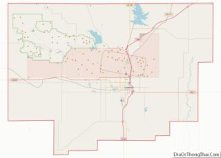
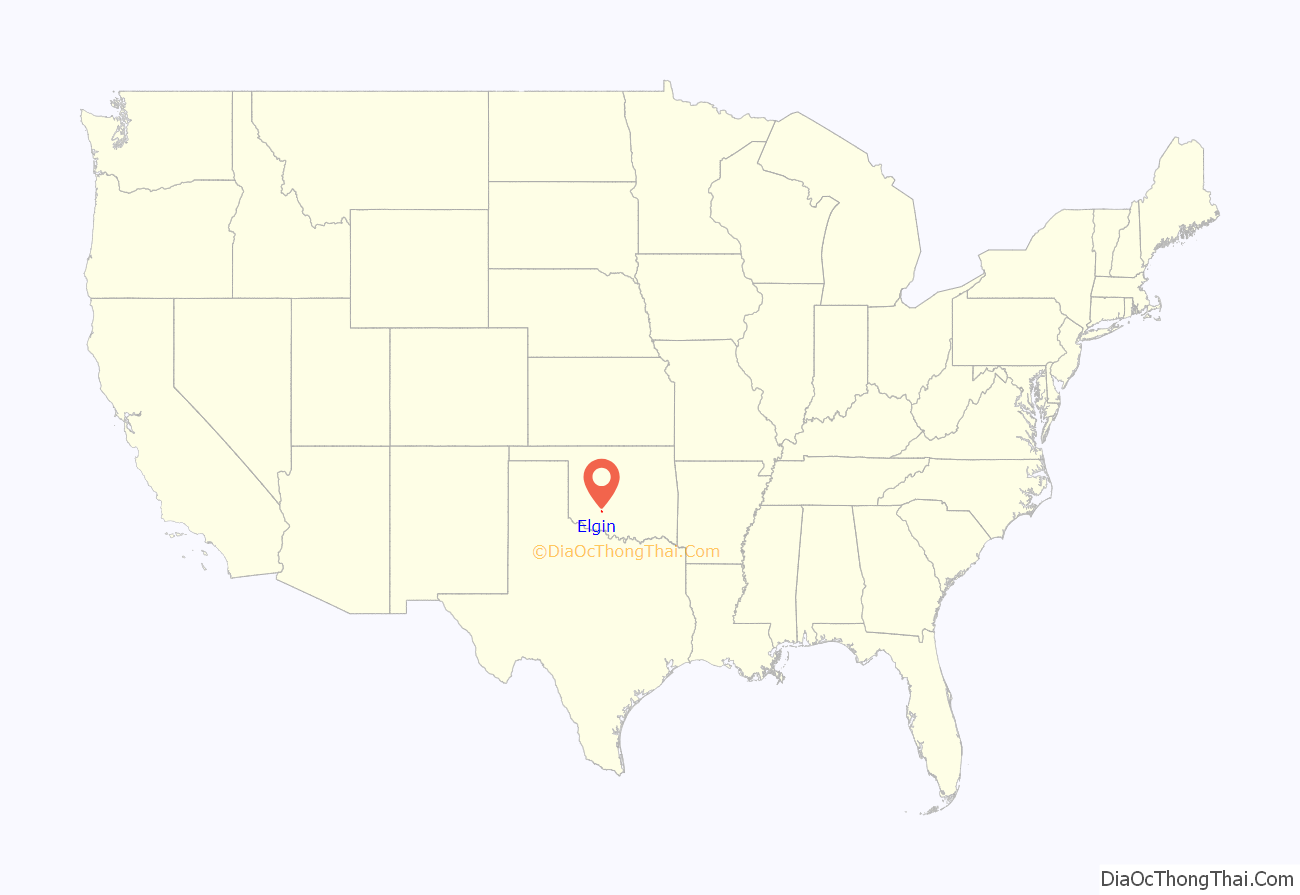
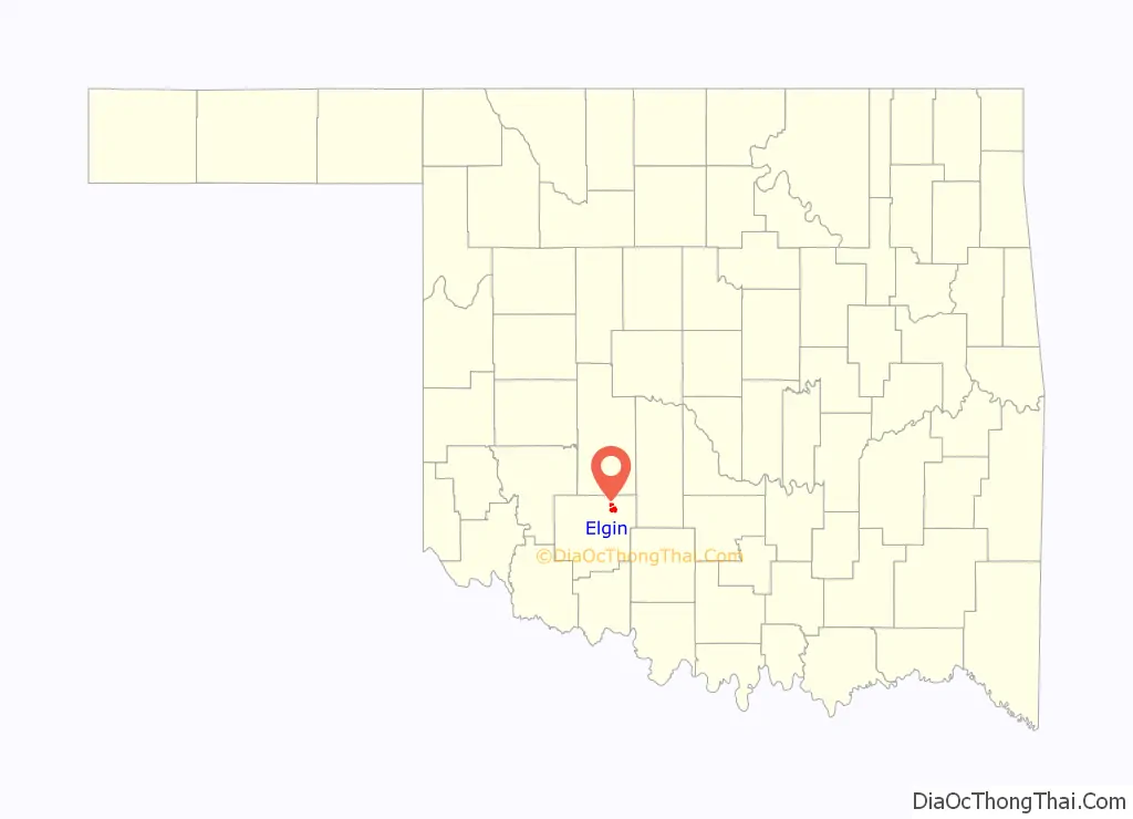
Elgin location map. Where is Elgin city?
History
Elgin developed as the Oklahoma City and Western Railroad (OCWR) (later absorbed by the St. Louis–San Francisco Railway) constructed a line from Chickasha, Oklahoma to Lawton, Oklahoma between 1901 and 1903. A post office was established in April 1902 and named “Ceegee”, derived from Charles G. Jones, president of the OCWR and developer of the town. The railroad management objected to this name and demanded that it be changed. This was done in July 1902.
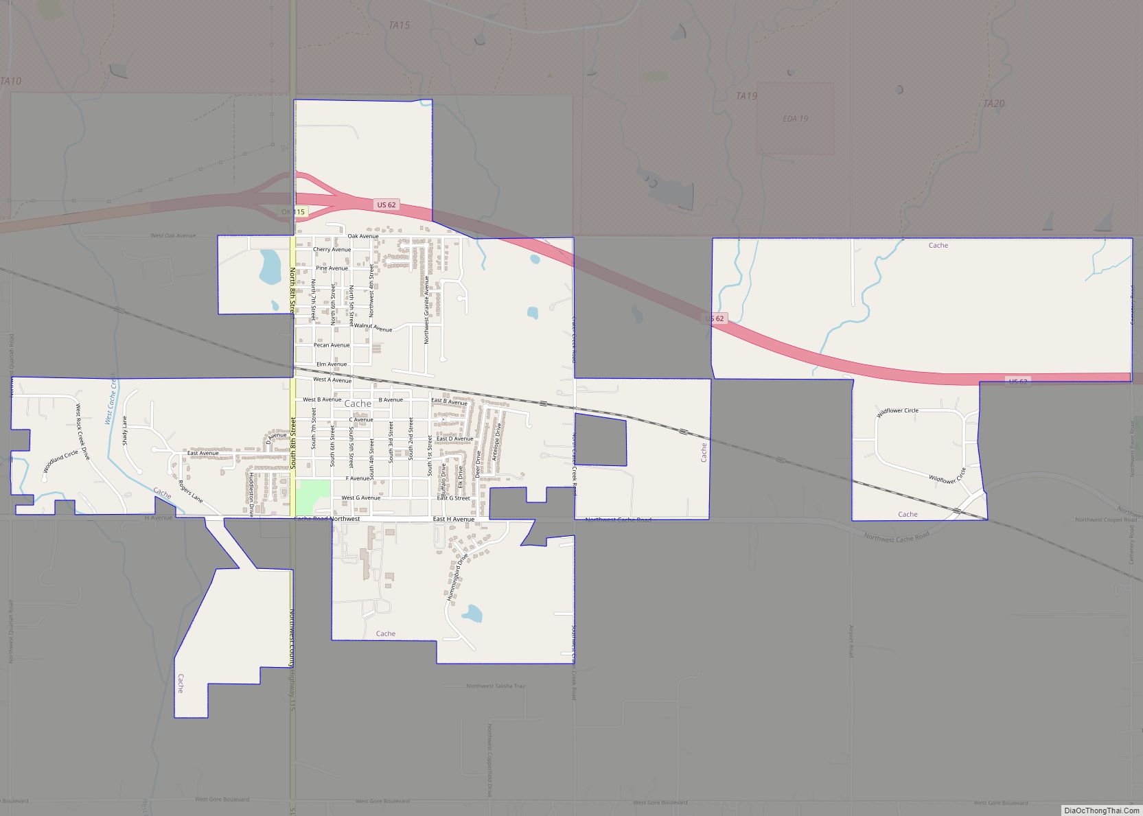
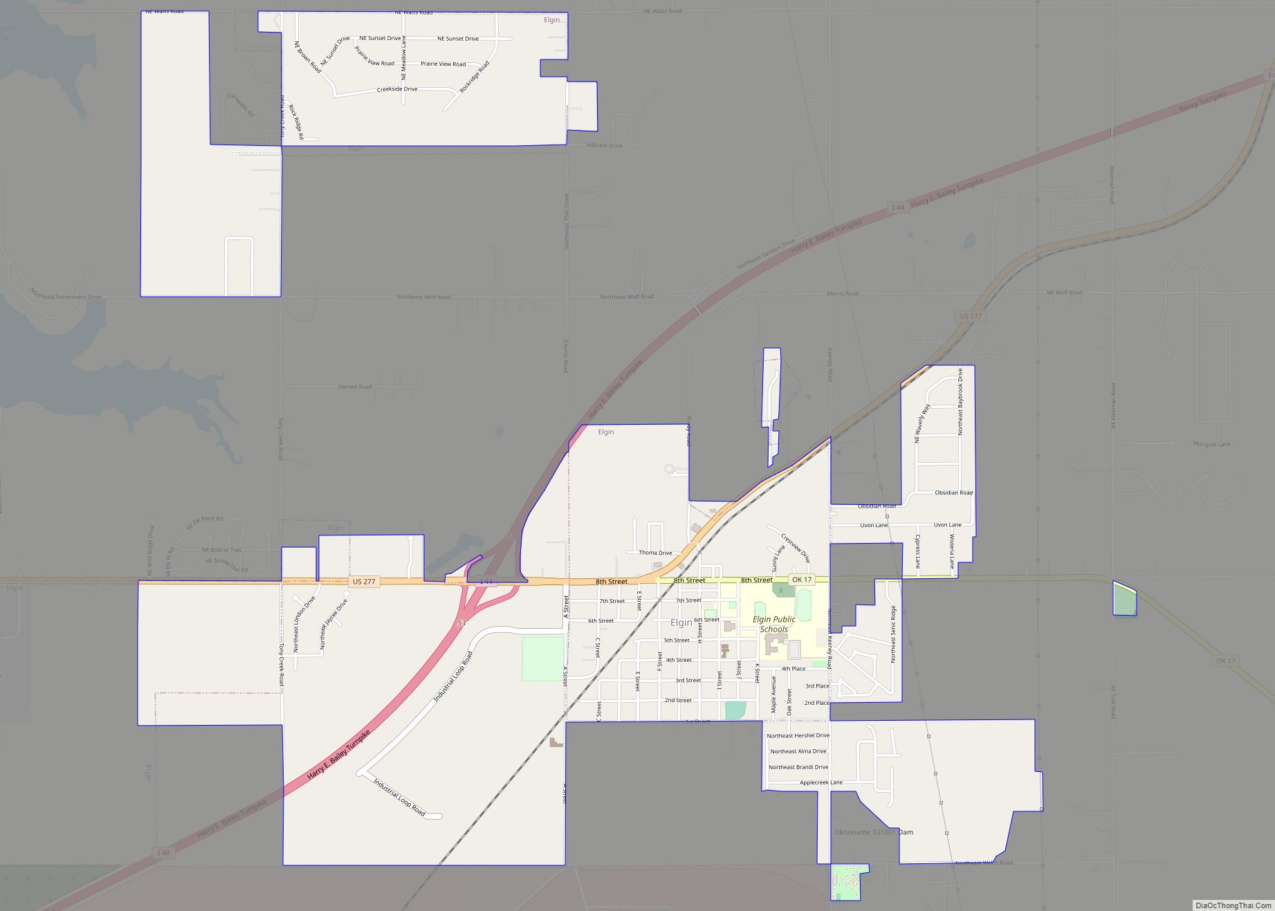
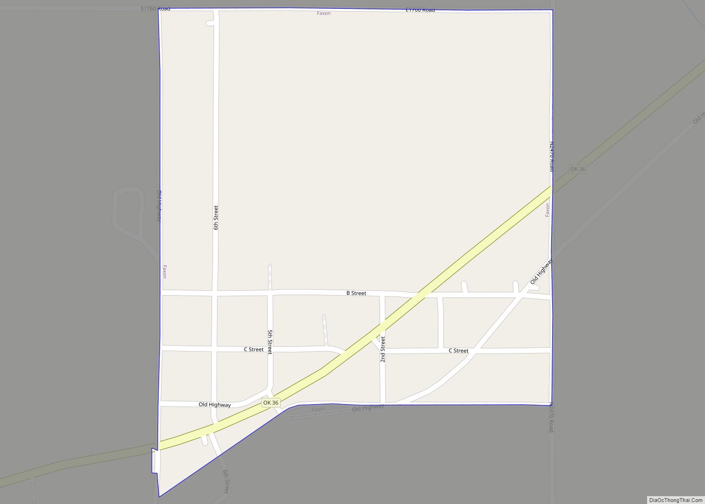
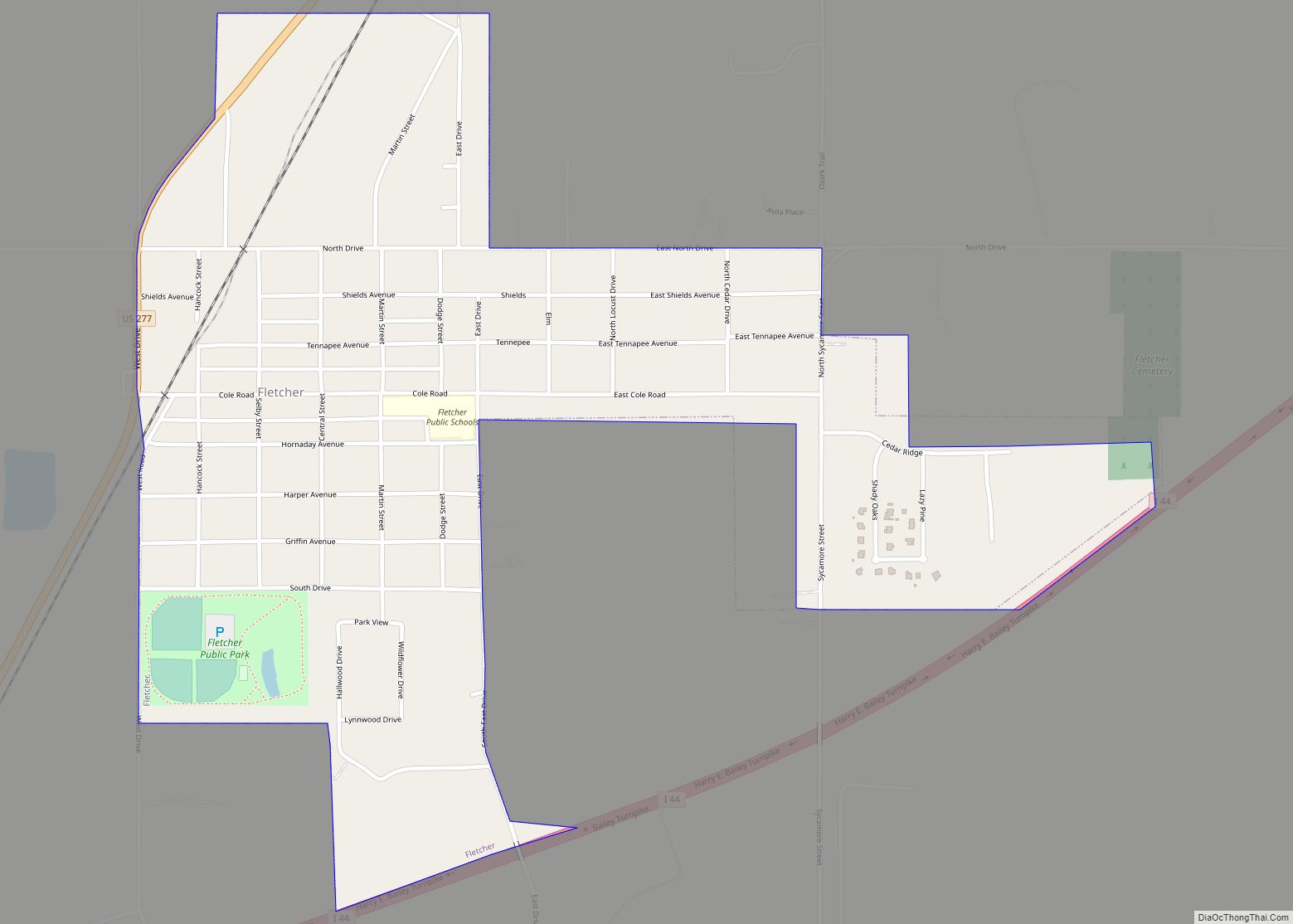
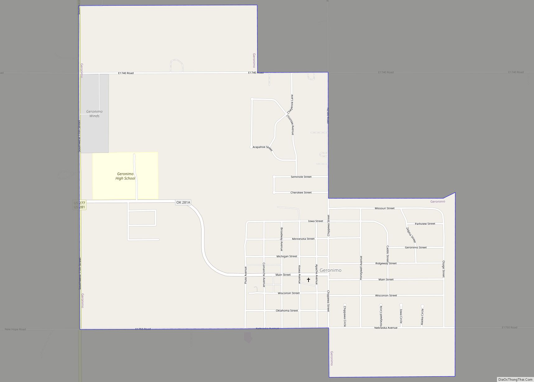
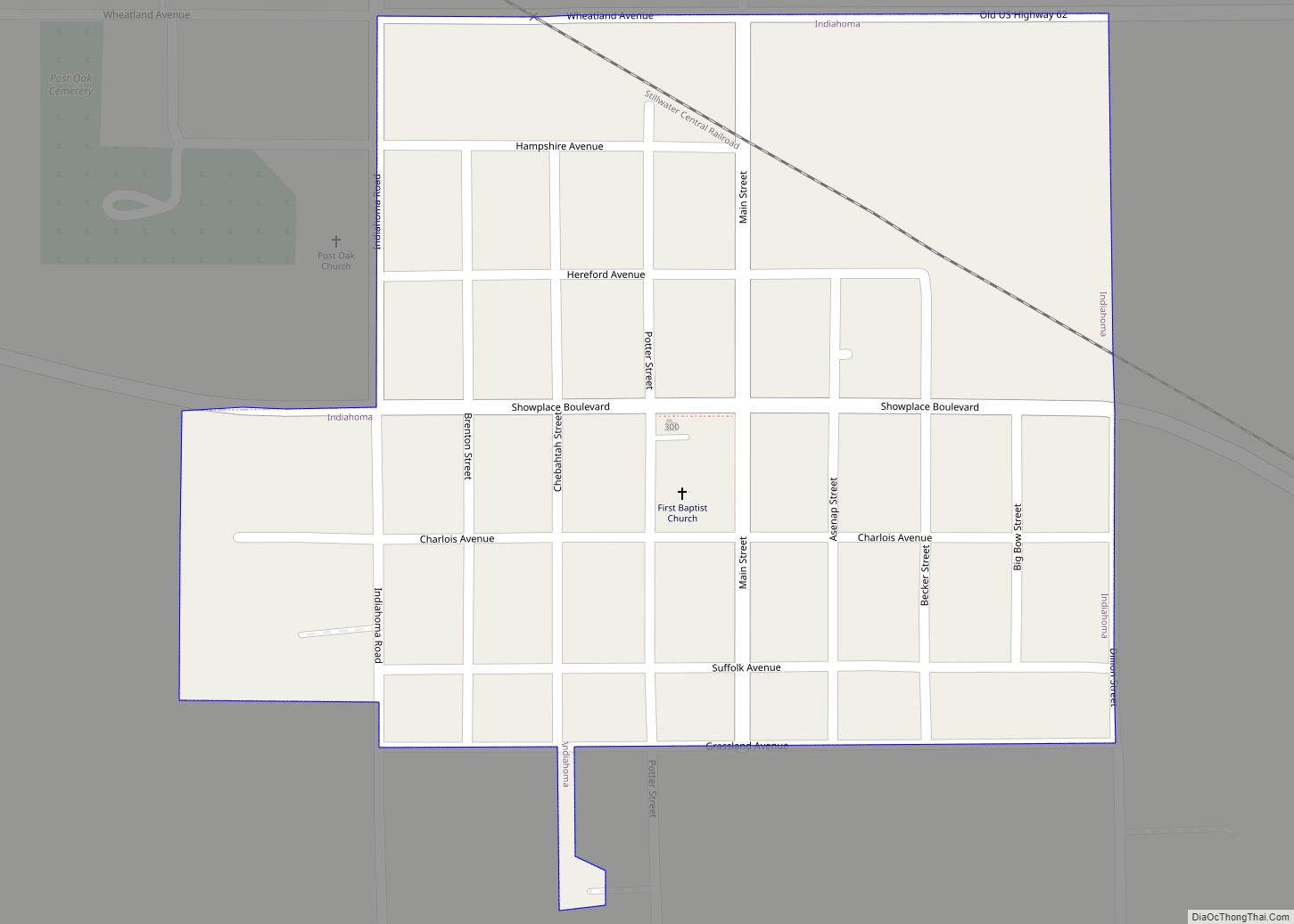
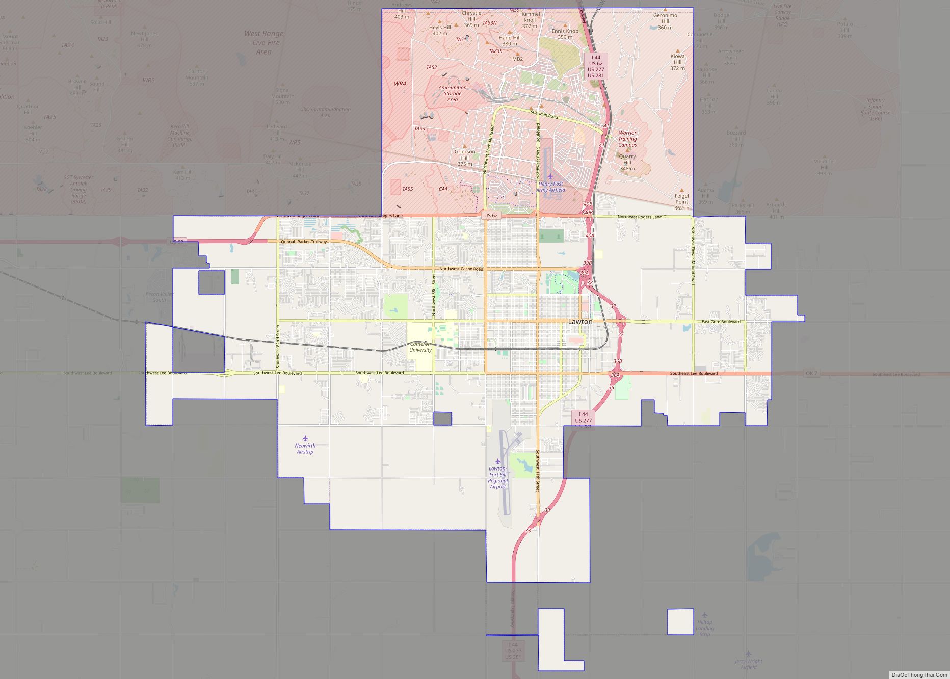
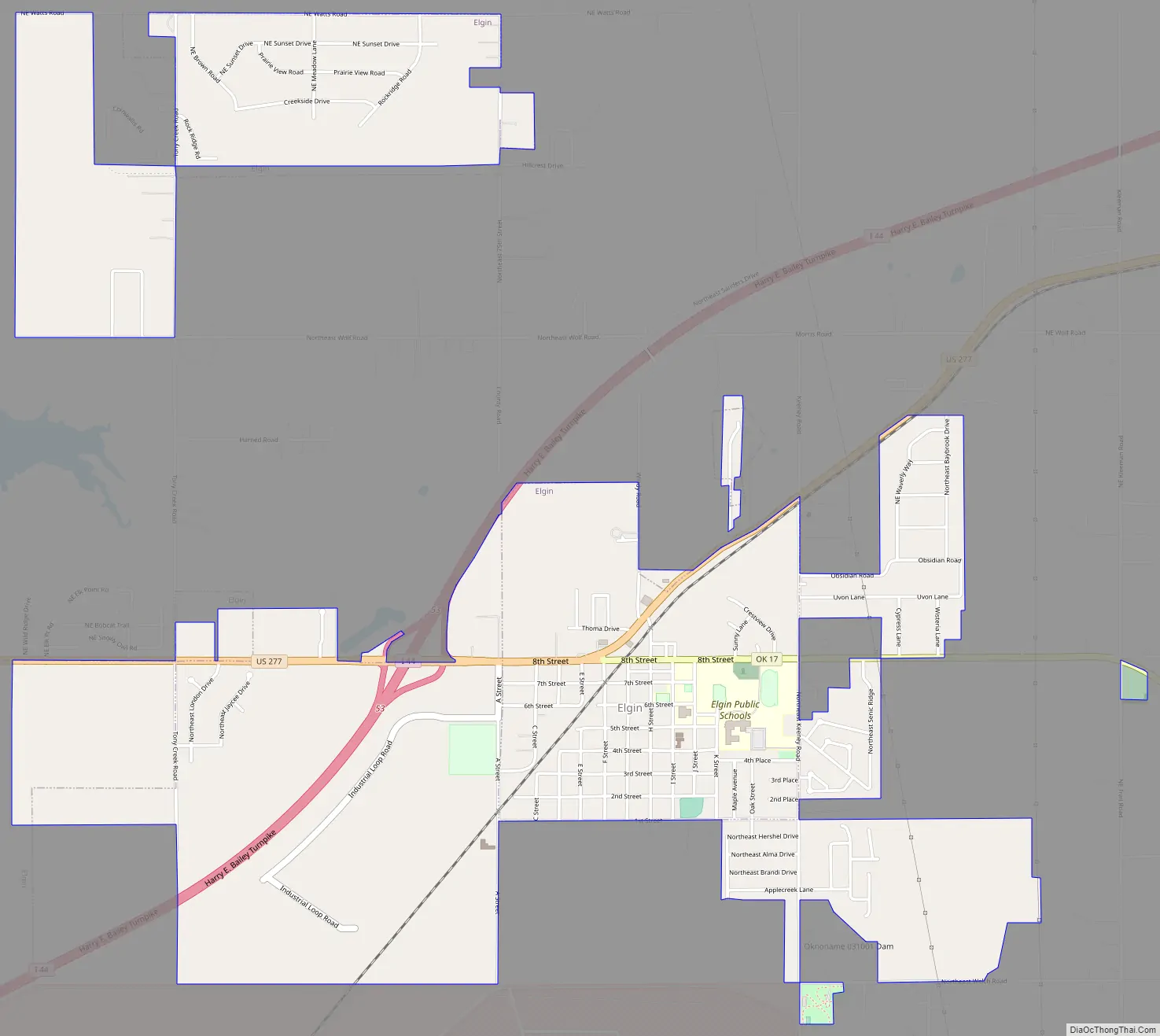
Elgin Road Map
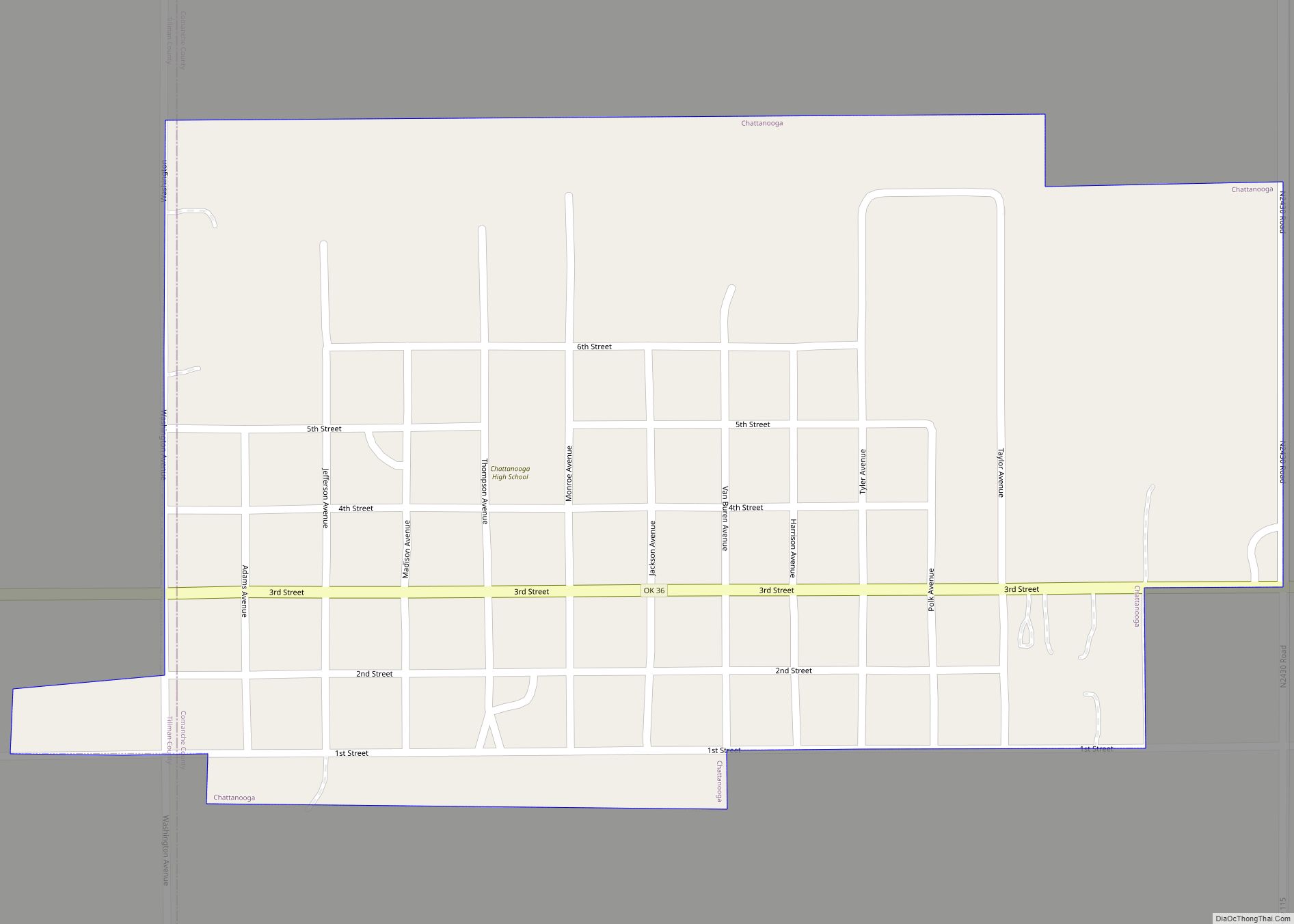
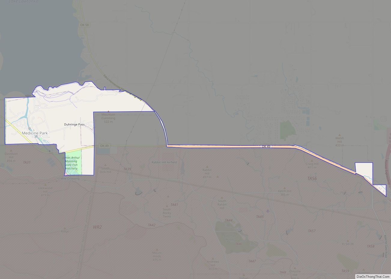
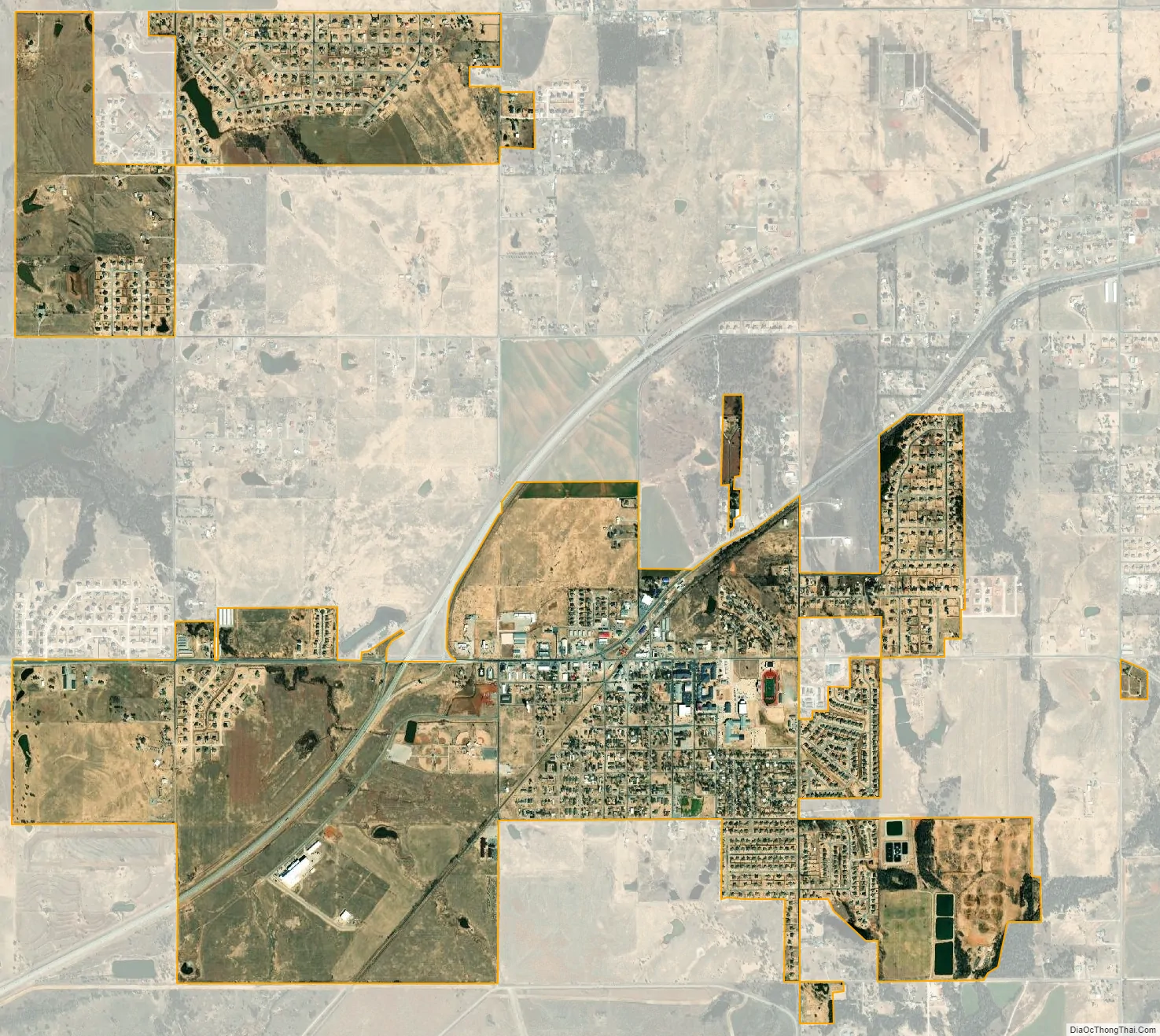
Elgin city Satellite Map
Geography
Elgin is located at 34°46′51″N 98°17′34″W / 34.78083°N 98.29278°W / 34.78083; -98.29278 (34.780906, -98.292862).
According to the United States Census Bureau, the city has a total area of 3.718 square miles (9.63 km), all land.
Climate
Climate is characterized by relatively high temperatures and evenly distributed precipitation throughout the year. The Köppen Climate Classification subtype for this climate is “Cfa” (Humid Subtropical Climate).
See also
Map of Oklahoma State and its subdivision:- Adair
- Alfalfa
- Atoka
- Beaver
- Beckham
- Blaine
- Bryan
- Caddo
- Canadian
- Carter
- Cherokee
- Choctaw
- Cimarron
- Cleveland
- Coal
- Comanche
- Cotton
- Craig
- Creek
- Custer
- Delaware
- Dewey
- Ellis
- Garfield
- Garvin
- Grady
- Grant
- Greer
- Harmon
- Harper
- Haskell
- Hughes
- Jackson
- Jefferson
- Johnston
- Kay
- Kingfisher
- Kiowa
- Latimer
- Le Flore
- Lincoln
- Logan
- Love
- Major
- Marshall
- Mayes
- McClain
- McCurtain
- McIntosh
- Murray
- Muskogee
- Noble
- Nowata
- Okfuskee
- Oklahoma
- Okmulgee
- Osage
- Ottawa
- Pawnee
- Payne
- Pittsburg
- Pontotoc
- Pottawatomie
- Pushmataha
- Roger Mills
- Rogers
- Seminole
- Sequoyah
- Stephens
- Texas
- Tillman
- Tulsa
- Wagoner
- Washington
- Washita
- Woods
- Woodward
- Alabama
- Alaska
- Arizona
- Arkansas
- California
- Colorado
- Connecticut
- Delaware
- District of Columbia
- Florida
- Georgia
- Hawaii
- Idaho
- Illinois
- Indiana
- Iowa
- Kansas
- Kentucky
- Louisiana
- Maine
- Maryland
- Massachusetts
- Michigan
- Minnesota
- Mississippi
- Missouri
- Montana
- Nebraska
- Nevada
- New Hampshire
- New Jersey
- New Mexico
- New York
- North Carolina
- North Dakota
- Ohio
- Oklahoma
- Oregon
- Pennsylvania
- Rhode Island
- South Carolina
- South Dakota
- Tennessee
- Texas
- Utah
- Vermont
- Virginia
- Washington
- West Virginia
- Wisconsin
- Wyoming