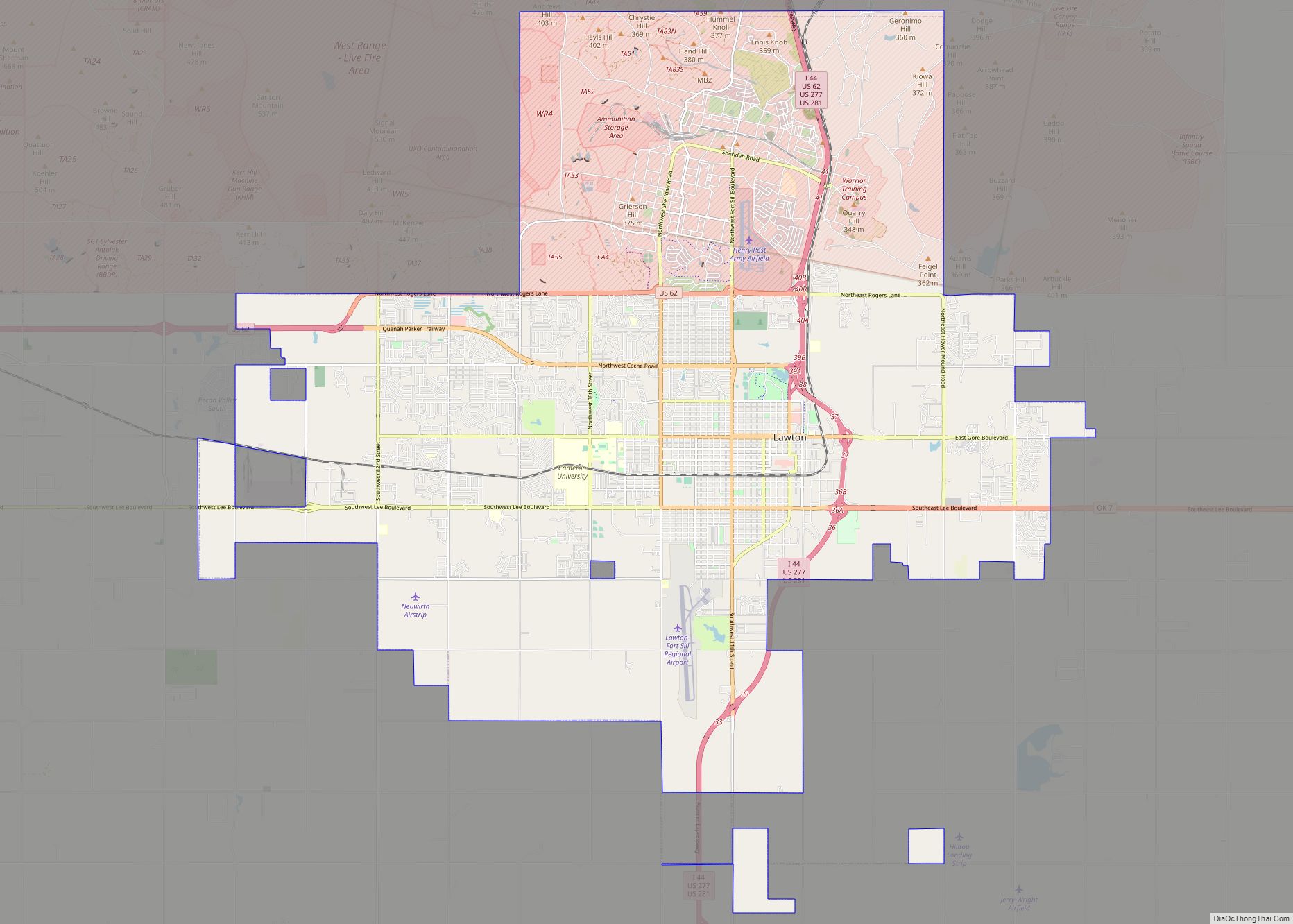
Medicine Park is a town in Comanche County, Oklahoma, United States, situated in the Wichita Mountains near the entrance to the 60,000-acre (240 km) Wichita Mountain Wildlife Refuge. Medicine Park has a long history as a vintage cobblestone resort town. Medicine Park is located near the city of Lawton and Fort Sill. It is an exurb, part of the Lawton Metropolitan Statistical Area. Many of the original structures are constructed of naturally formed cobblestones—these red granite cobblestones are unique to the Wichita Mountains. The population was 382 at the 2010 census.
| Name: | Medicine Park town |
|---|---|
| LSAD Code: | 43 |
| LSAD Description: | town (suffix) |
| State: | Oklahoma |
| County: | Comanche County |
| Founded: | July 4, 1908; 114 years ago (1908-07-04) |
| Elevation: | 1,283 ft (391 m) |
| Total Area: | 2.26 sq mi (5.86 km²) |
| Land Area: | 2.21 sq mi (5.73 km²) |
| Water Area: | 0.05 sq mi (0.13 km²) |
| Total Population: | 411 |
| Population Density: | 185.89/sq mi (71.76/km²) |
| ZIP code: | 73557 |
| Area code: | 580 |
| FIPS code: | 4047350 |
| GNISfeature ID: | 1095292 |
| Website: | www.medicinepark.com |
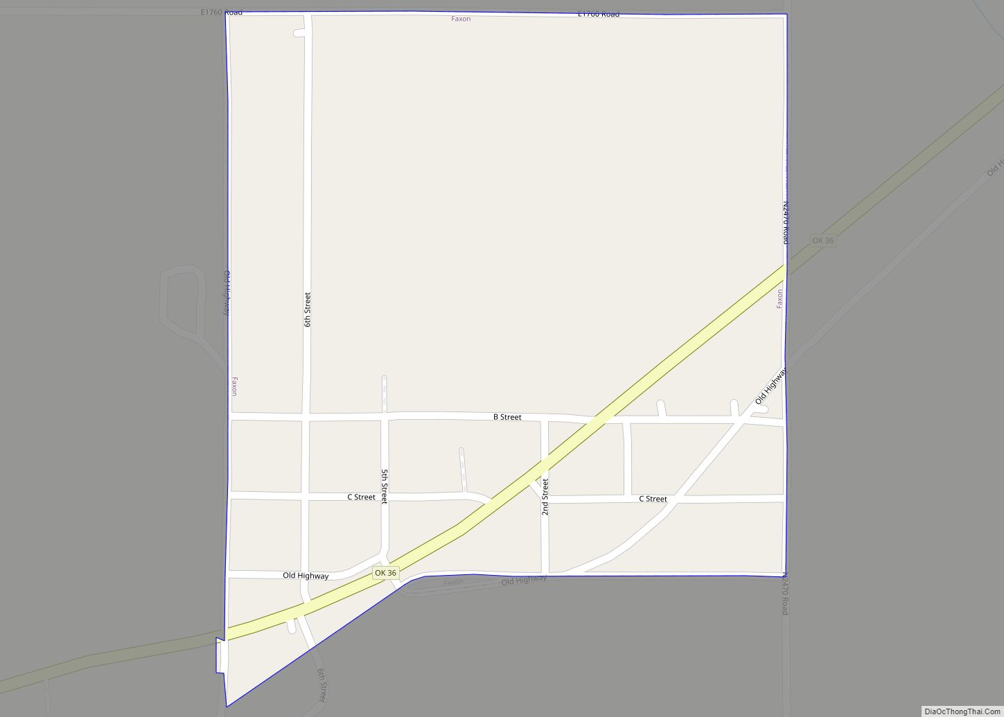
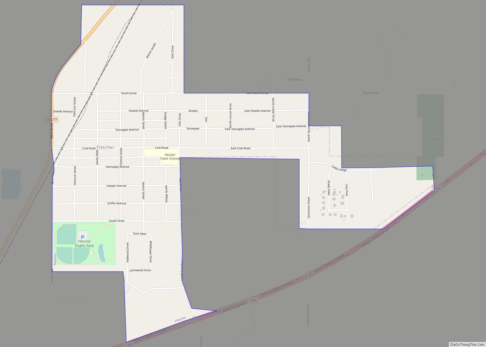
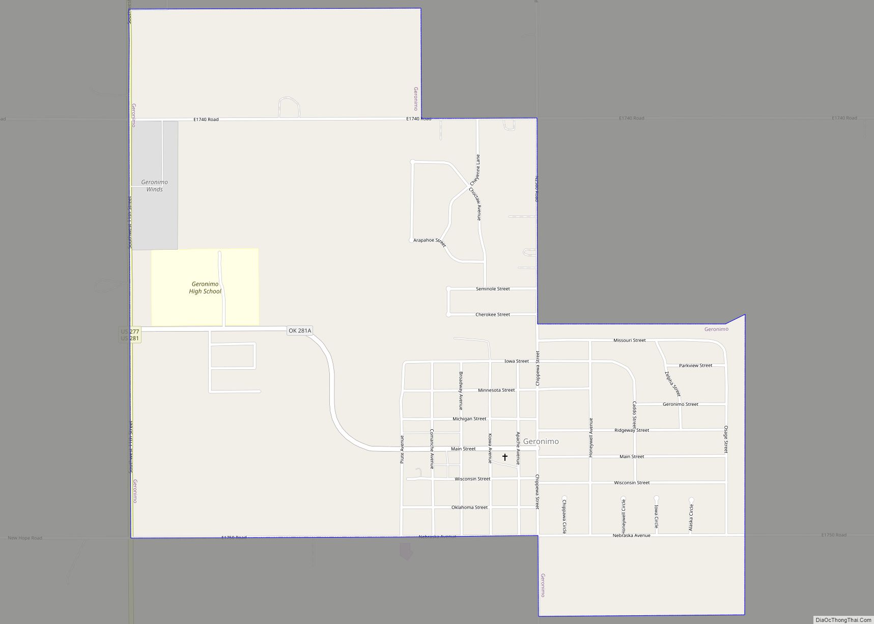
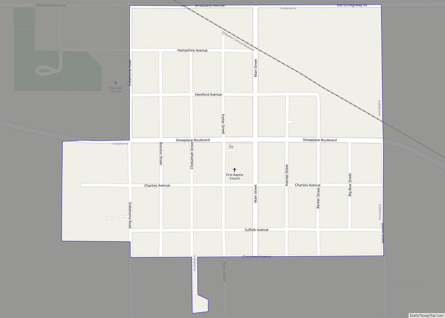
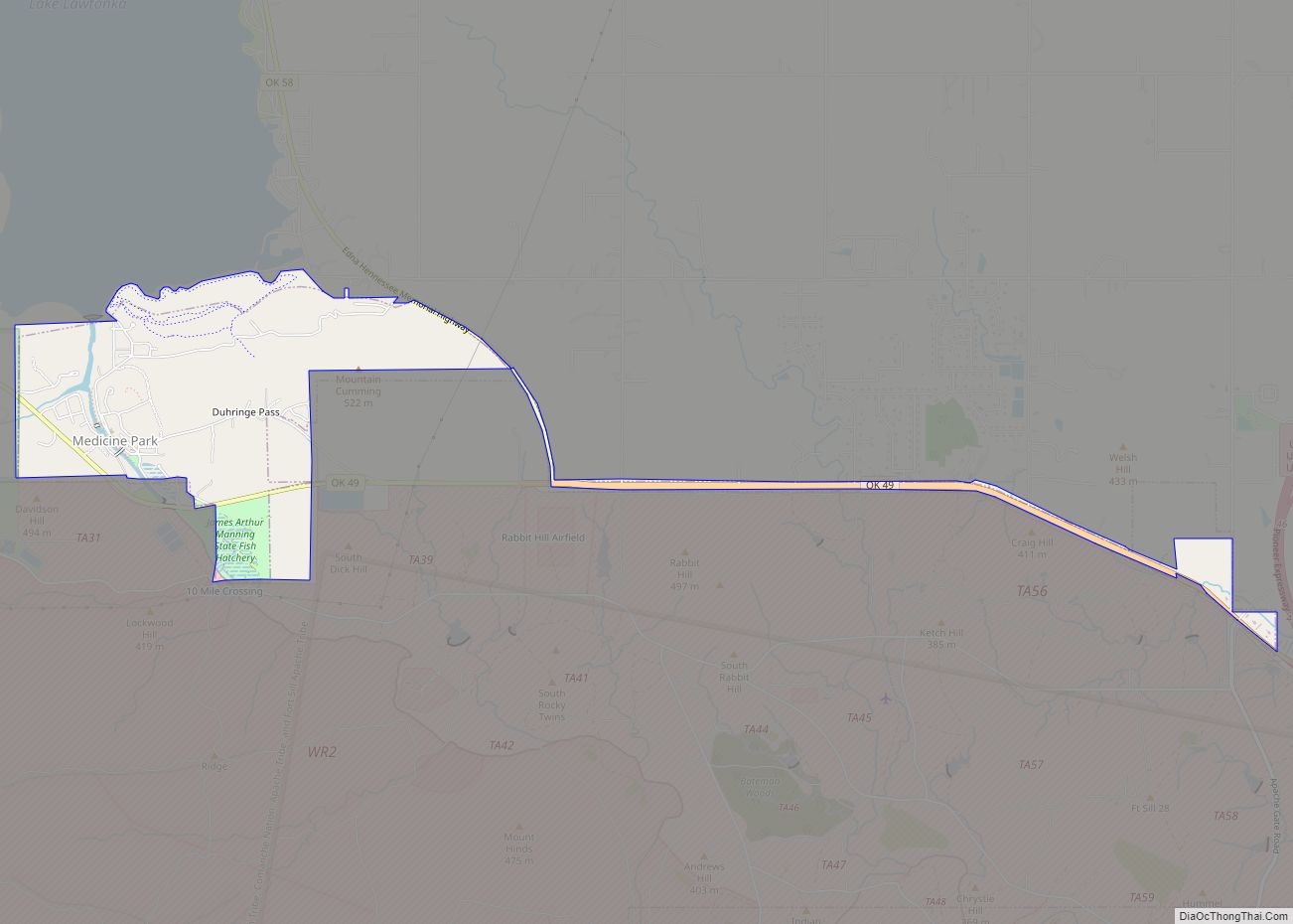
Online Interactive Map
Click on ![]() to view map in "full screen" mode.
to view map in "full screen" mode.
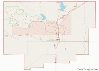
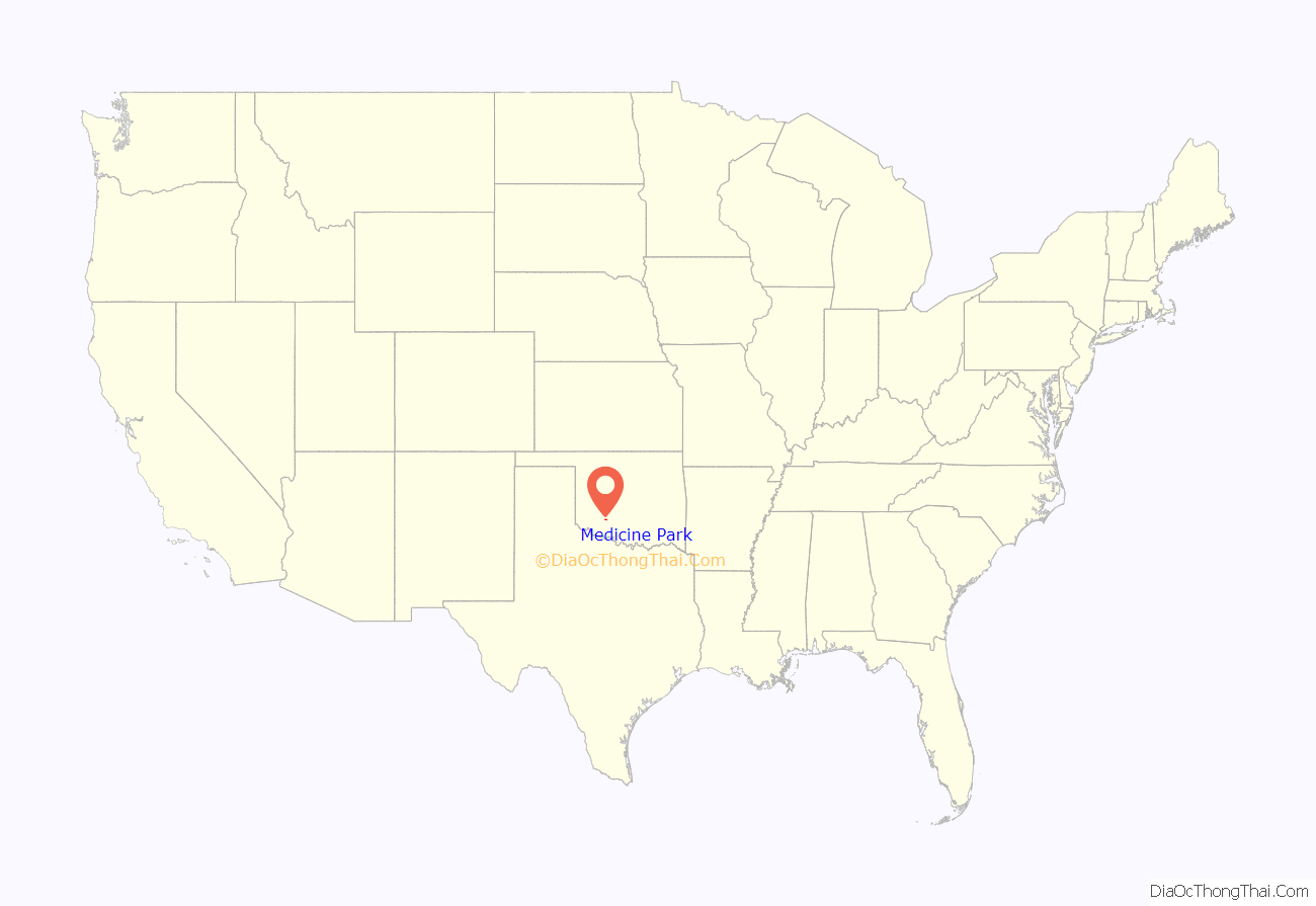
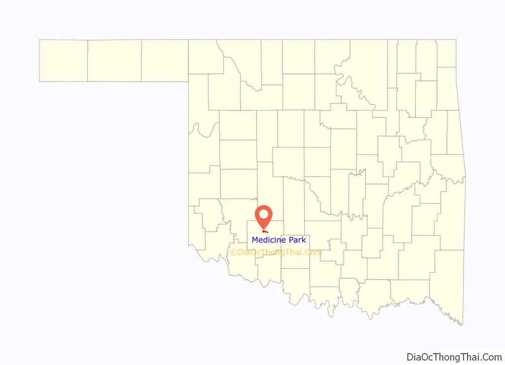
Medicine Park location map. Where is Medicine Park town?
History
Medicine Park was founded on July 4, 1908, by Elmer Thomas, a young lawyer who had just become a member of the Oklahoma State Senate and would end his career in 1951 as a U.S. senator.
In the spring of 1906, five years after the establishment of the Wichita Mountains National Forest, Elmer Thomas envisioned the need not only for a recreational area but for a permanent water source for the newly founded nearby city of Lawton.
When the resort first opened, it consisted merely of a large surplus Army tent with a wooden floor where hot meals were served. Two dams were constructed on Medicine Creek to form Bath Lake Swimming Hole, and a limited number of campsites were constructed.
Tourists came to Medicine Park from around Oklahoma and North Texas. Soon, there were two inns—the Outside Inn and the Apache Inn. Bob Wills and The Texas Playboys became regulars at the Dance Hall from 1929 through the late 1930s. Soon numerous other famous bands of the day made their way through Medicine Park en route to big city venues in Oklahoma City, Dallas, and Fort Worth.
The nearby Wichita Mountains Wildlife Refuge and Lake Lawtonka attracted thousands of people each weekend and throughout the seasons. Medicine Park became the “playground” for the state’s rich, famous and notorious. Outlaws and horse thieves mixed with noted politicians and businessmen, soldiers and officers from Fort Sill, families, and socialites in the new cobblestone community. The pages of the town’s colorful history are filled with such figures as Will Rogers, Wiley Post, Frank Phillips, Al Capone, Bonnie and Clyde, Pretty Boy Floyd, Lil Hardin Armstrong, Colonel Jack Abernathy, Les Brown, Roy Rogers, and Dale Evans.
An Oklahoma television station reported on June 13, 2018, that Expedia had named Medicine Park as “… the fifth prettiest town in the U.S.” The Lake Lawtonka Trails, including around Medicine Park, were rated by one mountain bike enthusiast site as the No. 1 best mountain bike trail area in Oklahoma, out of sixty-two contenders.
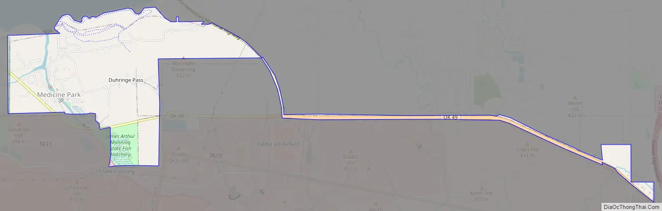
Medicine Park Road Map
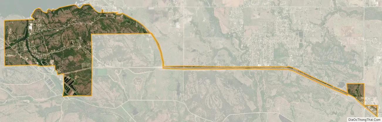
Medicine Park city Satellite Map
Geography
Medicine Park is located at 34°44′00″N 98°29′02″W / 34.733270°N 98.483923°W / 34.733270; -98.483923Coordinates: 34°44′00″N 98°29′02″W / 34.733270°N 98.483923°W / 34.733270; -98.483923 (34.733270, -98.483923).
According to the United States Census Bureau, the town has a total area of 1.7 square miles (4.4 km), of which 1.7 square miles (4.4 km) is land and 0.1 square miles (0.26 km) (2.89%) is water.
See also
Map of Oklahoma State and its subdivision:- Adair
- Alfalfa
- Atoka
- Beaver
- Beckham
- Blaine
- Bryan
- Caddo
- Canadian
- Carter
- Cherokee
- Choctaw
- Cimarron
- Cleveland
- Coal
- Comanche
- Cotton
- Craig
- Creek
- Custer
- Delaware
- Dewey
- Ellis
- Garfield
- Garvin
- Grady
- Grant
- Greer
- Harmon
- Harper
- Haskell
- Hughes
- Jackson
- Jefferson
- Johnston
- Kay
- Kingfisher
- Kiowa
- Latimer
- Le Flore
- Lincoln
- Logan
- Love
- Major
- Marshall
- Mayes
- McClain
- McCurtain
- McIntosh
- Murray
- Muskogee
- Noble
- Nowata
- Okfuskee
- Oklahoma
- Okmulgee
- Osage
- Ottawa
- Pawnee
- Payne
- Pittsburg
- Pontotoc
- Pottawatomie
- Pushmataha
- Roger Mills
- Rogers
- Seminole
- Sequoyah
- Stephens
- Texas
- Tillman
- Tulsa
- Wagoner
- Washington
- Washita
- Woods
- Woodward
- Alabama
- Alaska
- Arizona
- Arkansas
- California
- Colorado
- Connecticut
- Delaware
- District of Columbia
- Florida
- Georgia
- Hawaii
- Idaho
- Illinois
- Indiana
- Iowa
- Kansas
- Kentucky
- Louisiana
- Maine
- Maryland
- Massachusetts
- Michigan
- Minnesota
- Mississippi
- Missouri
- Montana
- Nebraska
- Nevada
- New Hampshire
- New Jersey
- New Mexico
- New York
- North Carolina
- North Dakota
- Ohio
- Oklahoma
- Oregon
- Pennsylvania
- Rhode Island
- South Carolina
- South Dakota
- Tennessee
- Texas
- Utah
- Vermont
- Virginia
- Washington
- West Virginia
- Wisconsin
- Wyoming