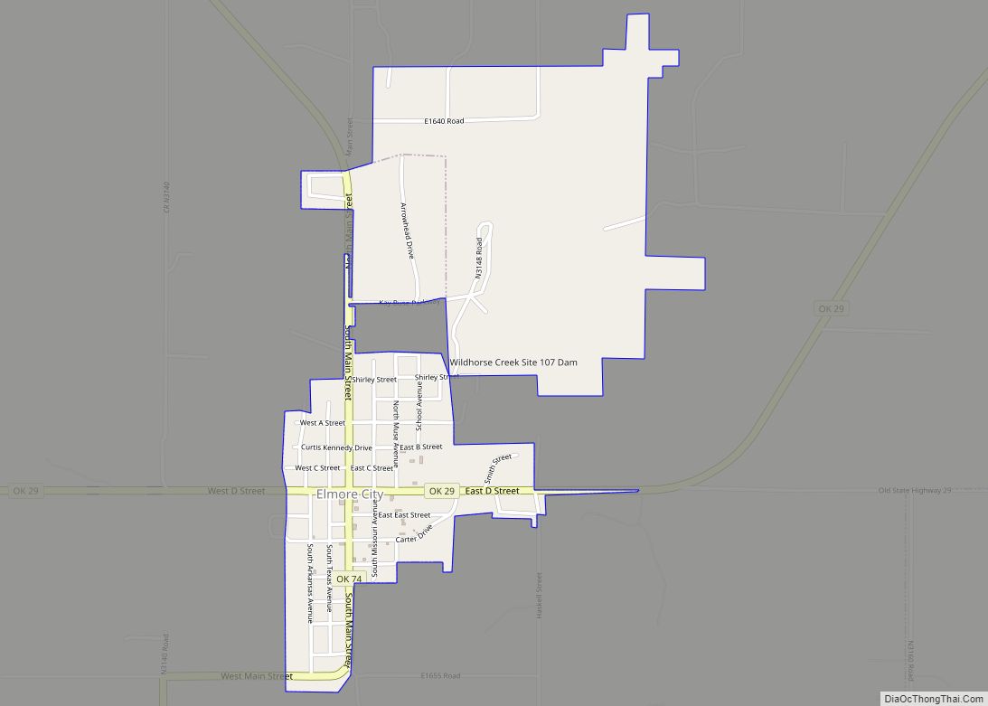
Elmore City is a town in Garvin County, Oklahoma, United States. This town is fifty-eight miles south of Oklahoma City. The population was 697 at the 2010 census. It was named after J. O. Elmore.
There are two main highways running through Elmore City. One of the Highways is Oklahoma State Highway 29, running west–east. The other is Oklahoma State Highway 74, running north–south. It is about 12 miles west of Wynnewood, 25.5 miles south of Purcell, and about 23 miles west of U.S. Highway 177.
| Name: | Elmore City town |
|---|---|
| LSAD Code: | 43 |
| LSAD Description: | town (suffix) |
| State: | Oklahoma |
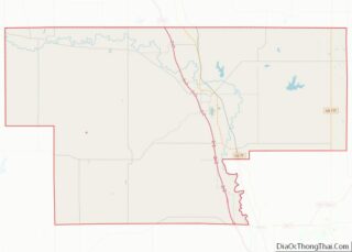
| County: | Garvin County |
| Elevation: | 974 ft (297 m) |
| Total Area: | 1.07 sq mi (2.78 km²) |
| Land Area: | 0.98 sq mi (2.54 km²) |
| Water Area: | 0.09 sq mi (0.24 km²) |
| Total Population: | 738 |
| Population Density: | 753.06/sq mi (290.65/km²) |
| ZIP code: | 73433, 73476 |
| Area code: | 580 |
| FIPS code: | 4023600 |
| GNISfeature ID: | 1092598 |
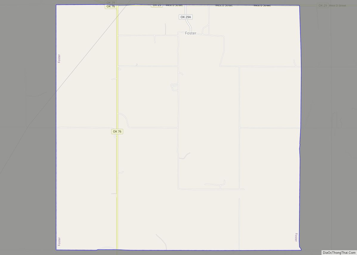
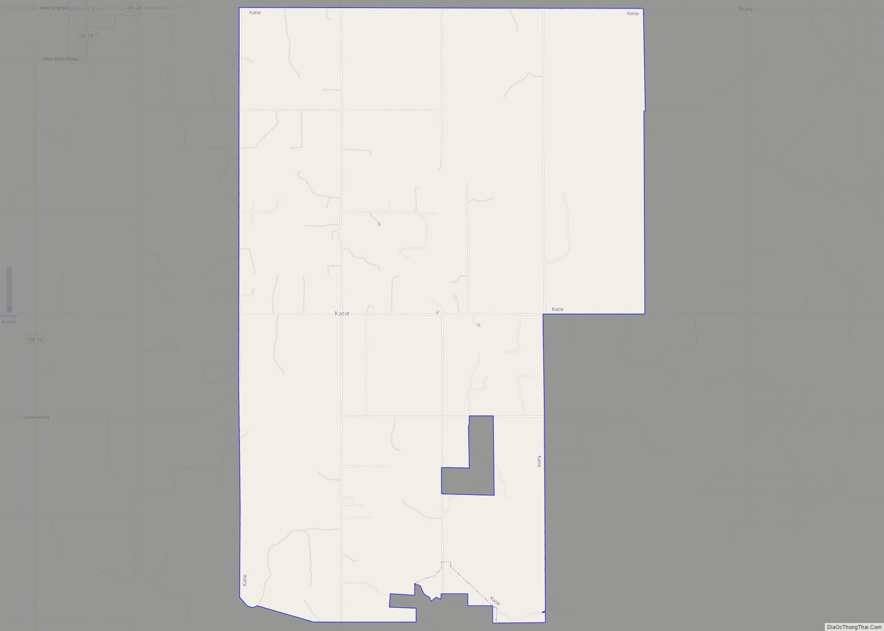
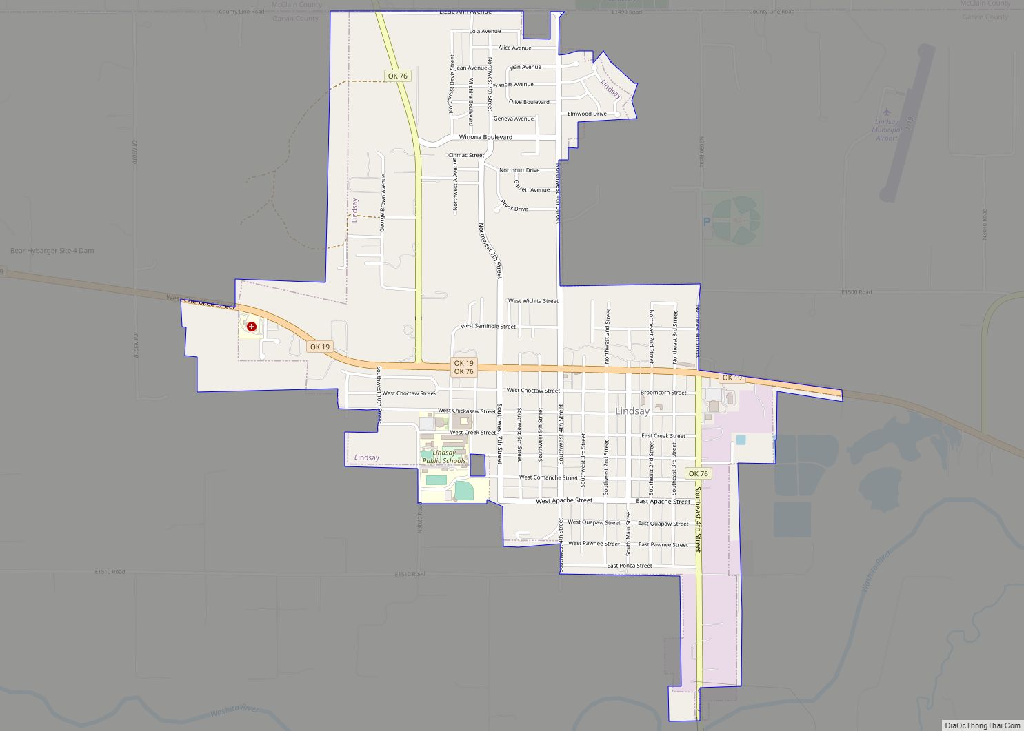
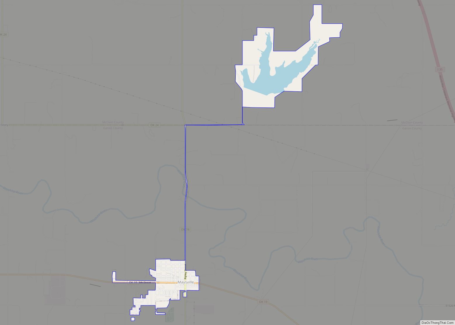
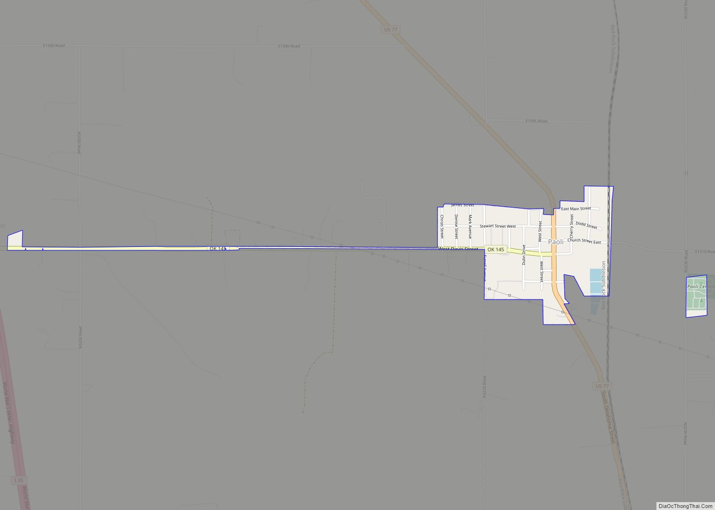
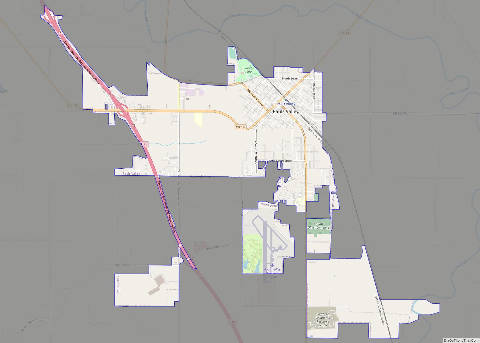
Online Interactive Map
Click on ![]() to view map in "full screen" mode.
to view map in "full screen" mode.
Elmore City location map. Where is Elmore City town?

History
The first business in Elmore City was opened by Jasper N. Black in an area just northeast of what is now Elmore City. Historians state that after Black opened his supply store in 1890 on Rock Creek, the number of settlers quickly grew and a community was formed called Banner. Banner quickly spread to the southwest and a post office was established and the name changed to Elmore for J. O. Elmore, another prominent business man. The word city was added to Elmore after the name was confused with Elmer in Jackson County. The city was incorporated as a community in 1898.
At the time of its founding, Elmore City was located in Pickens County, Chickasaw Nation.
The 1984 film Footloose is loosely based on events that took place in the town.
Elmore City Road Map

Elmore City city Satellite Map

Geography
Elmore City is located at 34°37′24″N 97°23′45″W / 34.62333°N 97.39583°W / 34.62333; -97.39583 (34.623424, -97.395707).
According to the United States Census Bureau, the town has a total area of 0.4 square miles (1.0 km), all land.
See also
Map of Oklahoma State and its subdivision:- Adair
- Alfalfa
- Atoka
- Beaver
- Beckham
- Blaine
- Bryan
- Caddo
- Canadian
- Carter
- Cherokee
- Choctaw
- Cimarron
- Cleveland
- Coal
- Comanche
- Cotton
- Craig
- Creek
- Custer
- Delaware
- Dewey
- Ellis
- Garfield
- Garvin
- Grady
- Grant
- Greer
- Harmon
- Harper
- Haskell
- Hughes
- Jackson
- Jefferson
- Johnston
- Kay
- Kingfisher
- Kiowa
- Latimer
- Le Flore
- Lincoln
- Logan
- Love
- Major
- Marshall
- Mayes
- McClain
- McCurtain
- McIntosh
- Murray
- Muskogee
- Noble
- Nowata
- Okfuskee
- Oklahoma
- Okmulgee
- Osage
- Ottawa
- Pawnee
- Payne
- Pittsburg
- Pontotoc
- Pottawatomie
- Pushmataha
- Roger Mills
- Rogers
- Seminole
- Sequoyah
- Stephens
- Texas
- Tillman
- Tulsa
- Wagoner
- Washington
- Washita
- Woods
- Woodward
- Alabama
- Alaska
- Arizona
- Arkansas
- California
- Colorado
- Connecticut
- Delaware
- District of Columbia
- Florida
- Georgia
- Hawaii
- Idaho
- Illinois
- Indiana
- Iowa
- Kansas
- Kentucky
- Louisiana
- Maine
- Maryland
- Massachusetts
- Michigan
- Minnesota
- Mississippi
- Missouri
- Montana
- Nebraska
- Nevada
- New Hampshire
- New Jersey
- New Mexico
- New York
- North Carolina
- North Dakota
- Ohio
- Oklahoma
- Oregon
- Pennsylvania
- Rhode Island
- South Carolina
- South Dakota
- Tennessee
- Texas
- Utah
- Vermont
- Virginia
- Washington
- West Virginia
- Wisconsin
- Wyoming