Fanshawe is a town in Latimer and Le Flore counties in the U.S. state of Oklahoma. As of the 2010 census, the town had a total population of 419. The Le Flore County portion of Fanshawe is part of the Fort Smith, Arkansas-Oklahoma Metropolitan Statistical Area.
| Name: | Fanshawe town |
|---|---|
| LSAD Code: | 43 |
| LSAD Description: | town (suffix) |
| State: | Oklahoma |
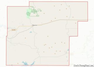
| County: | Latimer County, Le Flore County |
| Elevation: | 545 ft (166 m) |
| Total Area: | 23.07 sq mi (59.74 km²) |
| Land Area: | 22.97 sq mi (59.49 km²) |
| Water Area: | 0.10 sq mi (0.25 km²) |
| Total Population: | 317 |
| Population Density: | 13.80/sq mi (5.33/km²) |
| ZIP code: | 74935 |
| Area code: | 539/918 |
| FIPS code: | 4025400 |
| GNISfeature ID: | 1101414 |
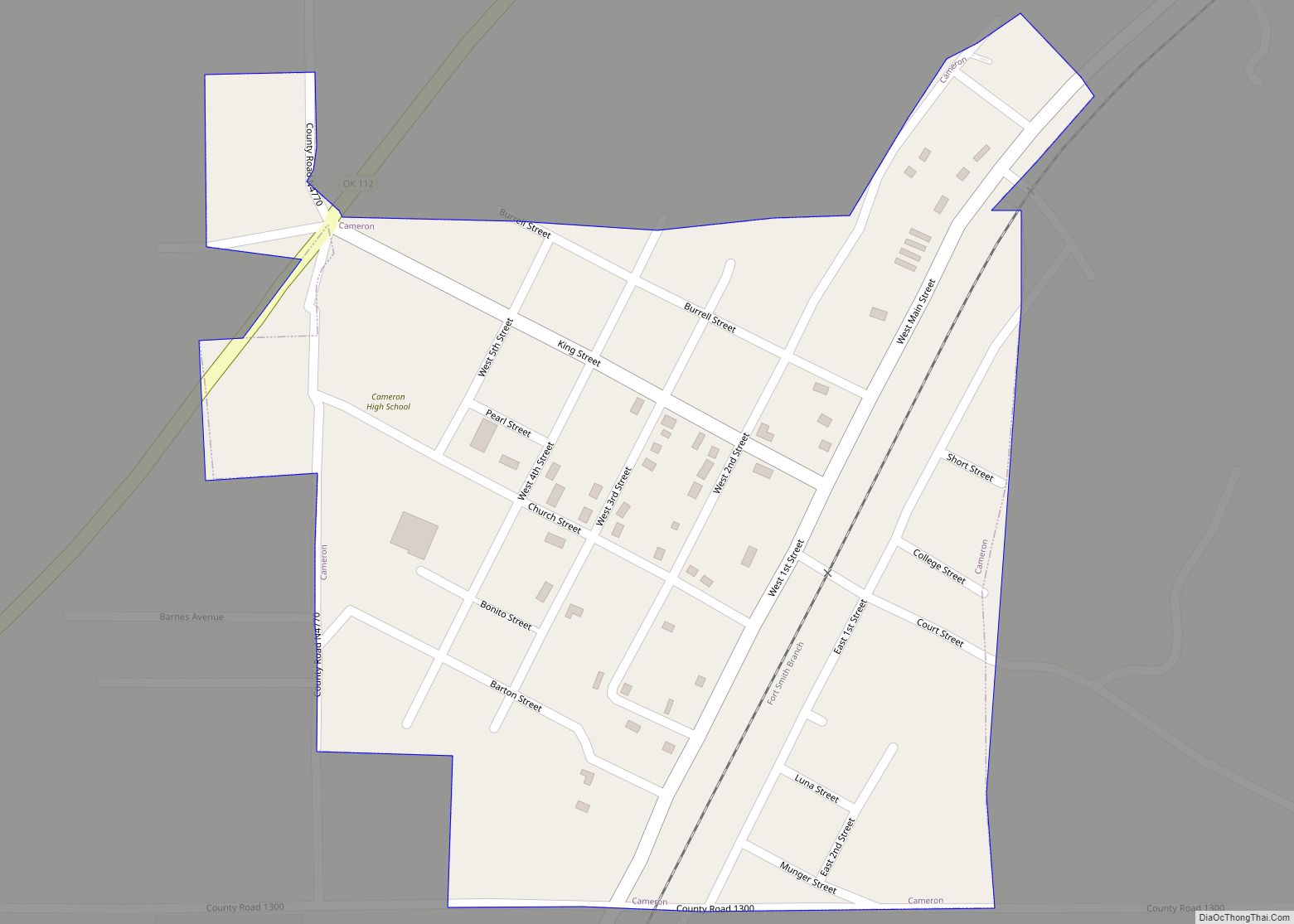
Online Interactive Map
Click on ![]() to view map in "full screen" mode.
to view map in "full screen" mode.
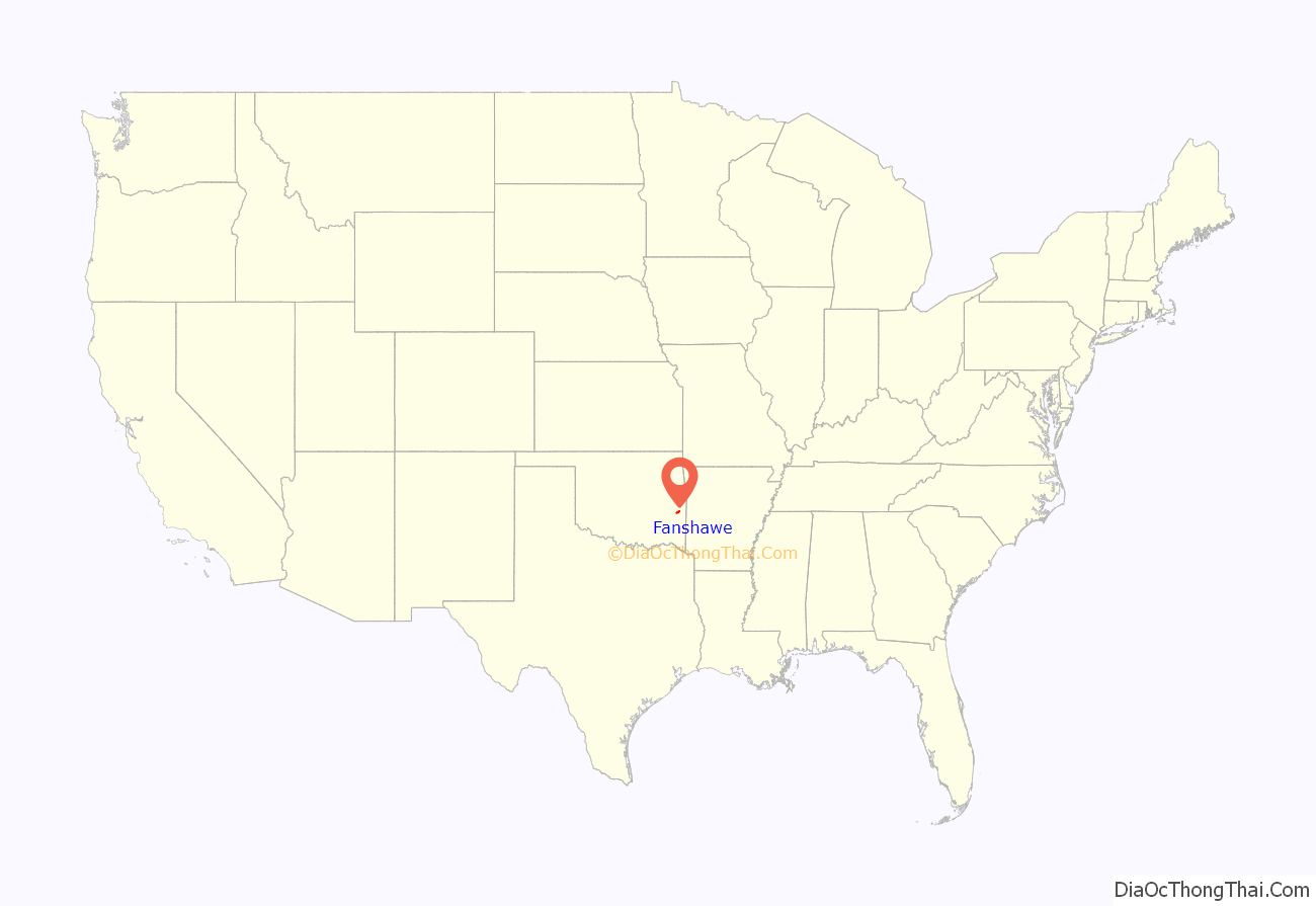
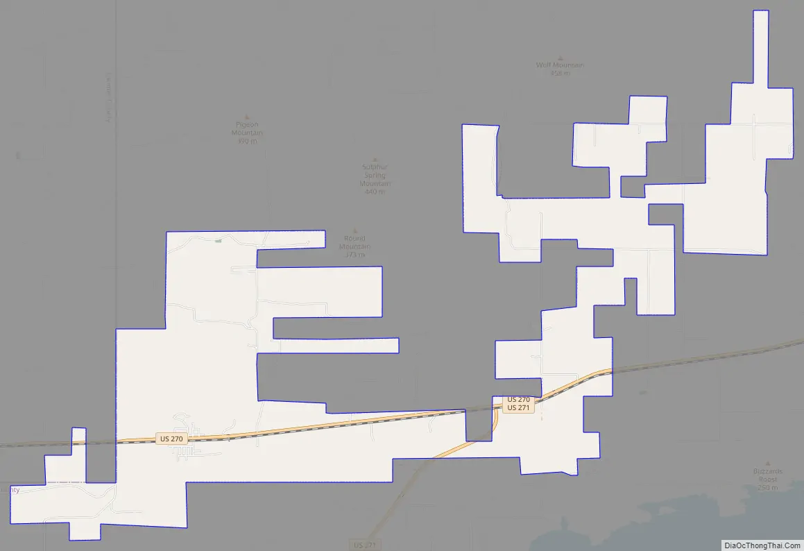
Fanshawe location map. Where is Fanshawe town?
History
A post office was established at Fanshawe, Indian Territory on March 31, 1891. The town was named after John R. Fanshawe, an employee of the Choctaw, Oklahoma and Gulf Railroad, which built through the area in 1889–90; however, the town had no role in choosing the name. Railroad executives and investors made an inspection trip on the newly-built line; at each designated station a name was drawn from a hat, and that name was used to designate the new town. At the time of its founding, Fanshawe was located in the Moshulatubbee District of the Choctaw Nation.
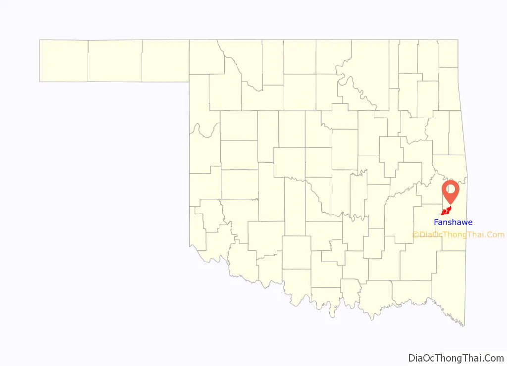
Fanshawe Road Map
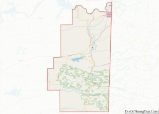
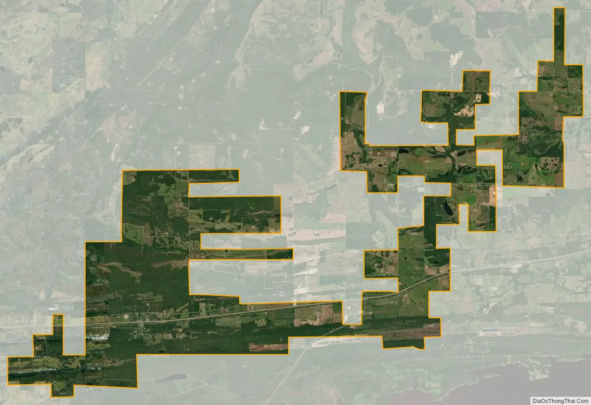
Fanshawe city Satellite Map
Geography
Fanshawe is located at 34°57′24″N 94°51′12″W / 34.95667°N 94.85333°W / 34.95667; -94.85333 (34.956756, -94.853433).
According to the United States Census Bureau, the town has a total area of 22.7 square miles (58.8 km), of which 22.6 square miles (58.5 km) is land and 0.1 square mile (0.3 km) (0.57%) is water.
See also
Map of Oklahoma State and its subdivision:- Adair
- Alfalfa
- Atoka
- Beaver
- Beckham
- Blaine
- Bryan
- Caddo
- Canadian
- Carter
- Cherokee
- Choctaw
- Cimarron
- Cleveland
- Coal
- Comanche
- Cotton
- Craig
- Creek
- Custer
- Delaware
- Dewey
- Ellis
- Garfield
- Garvin
- Grady
- Grant
- Greer
- Harmon
- Harper
- Haskell
- Hughes
- Jackson
- Jefferson
- Johnston
- Kay
- Kingfisher
- Kiowa
- Latimer
- Le Flore
- Lincoln
- Logan
- Love
- Major
- Marshall
- Mayes
- McClain
- McCurtain
- McIntosh
- Murray
- Muskogee
- Noble
- Nowata
- Okfuskee
- Oklahoma
- Okmulgee
- Osage
- Ottawa
- Pawnee
- Payne
- Pittsburg
- Pontotoc
- Pottawatomie
- Pushmataha
- Roger Mills
- Rogers
- Seminole
- Sequoyah
- Stephens
- Texas
- Tillman
- Tulsa
- Wagoner
- Washington
- Washita
- Woods
- Woodward
- Alabama
- Alaska
- Arizona
- Arkansas
- California
- Colorado
- Connecticut
- Delaware
- District of Columbia
- Florida
- Georgia
- Hawaii
- Idaho
- Illinois
- Indiana
- Iowa
- Kansas
- Kentucky
- Louisiana
- Maine
- Maryland
- Massachusetts
- Michigan
- Minnesota
- Mississippi
- Missouri
- Montana
- Nebraska
- Nevada
- New Hampshire
- New Jersey
- New Mexico
- New York
- North Carolina
- North Dakota
- Ohio
- Oklahoma
- Oregon
- Pennsylvania
- Rhode Island
- South Carolina
- South Dakota
- Tennessee
- Texas
- Utah
- Vermont
- Virginia
- Washington
- West Virginia
- Wisconsin
- Wyoming