Fargo is a town in Ellis County, Oklahoma, United States. The population was 364 at the 2010 census. Fargo, like many towns in the region, has never fully recovered from the Dust Bowl years.
| Name: | Fargo town |
|---|---|
| LSAD Code: | 43 |
| LSAD Description: | town (suffix) |
| State: | Oklahoma |
| County: | Ellis County |
| Elevation: | 2,110 ft (643 m) |
| Total Area: | 0.58 sq mi (1.51 km²) |
| Land Area: | 0.58 sq mi (1.51 km²) |
| Water Area: | 0.00 sq mi (0.00 km²) |
| Total Population: | 312 |
| Population Density: | 535.16/sq mi (206.74/km²) |
| ZIP code: | 73840 |
| Area code: | 580 |
| FIPS code: | 4025450 |
| GNISfeature ID: | 1092762 |
Online Interactive Map
Click on ![]() to view map in "full screen" mode.
to view map in "full screen" mode.
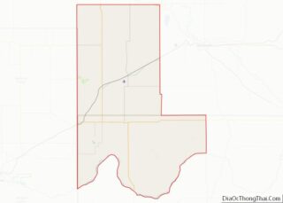
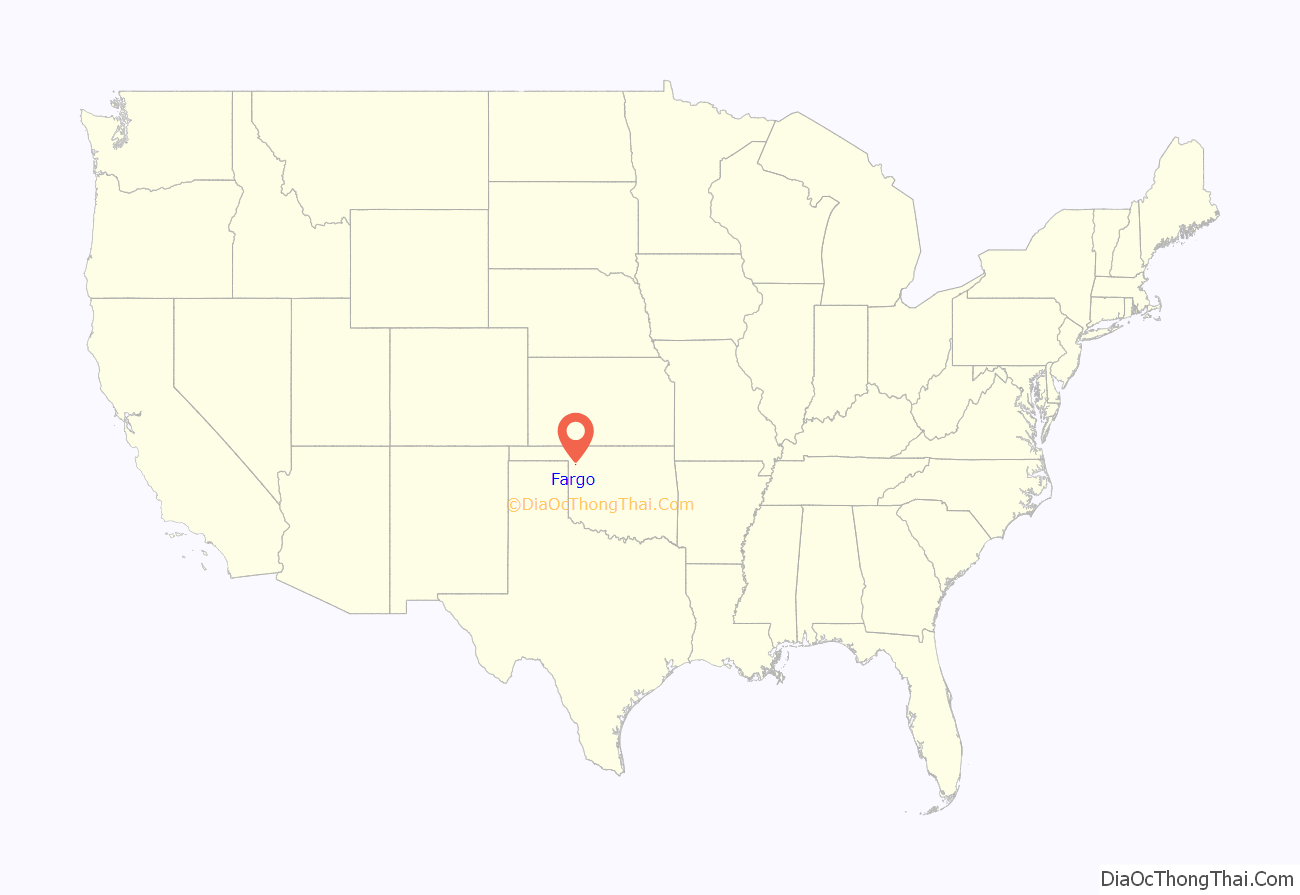
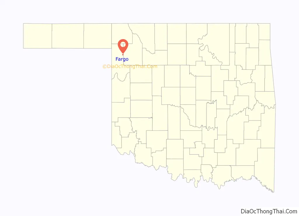
Fargo location map. Where is Fargo town?
History
In 1887, the Southern Kansas Railway (a subsidiary of the Atchison, Topeka and Santa Fe Railway) built tracks through the area. The area was opened to European-American settlement by the Cherokee Outlet Opening land run in 1893.
During the land run, David C. Ooley filed a claim on land near Boggy Creek and opened a general store there. He later acquired 80 additional acres along the railroad and built a second store, and acquired postal designation as Whitehead in October 1893. The town’s postal designation was changed to Oleta in August 1901, and changed again to Fargo in February 1905.
When Oklahoma’s statehood was established in 1907, Fargo was incorporated from Oleta Township, with a population of 436.
In 1909, a fire destroyed all of the east side buildings on Main Street.
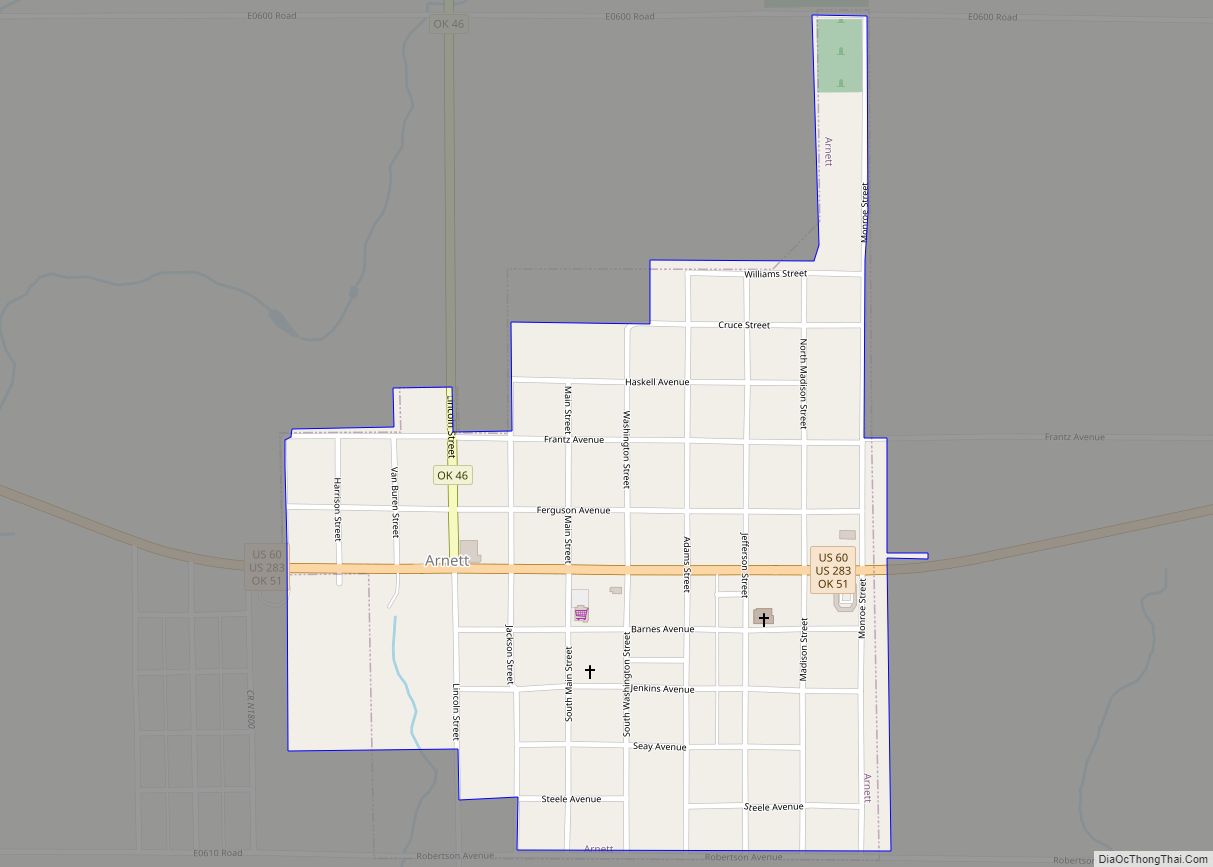
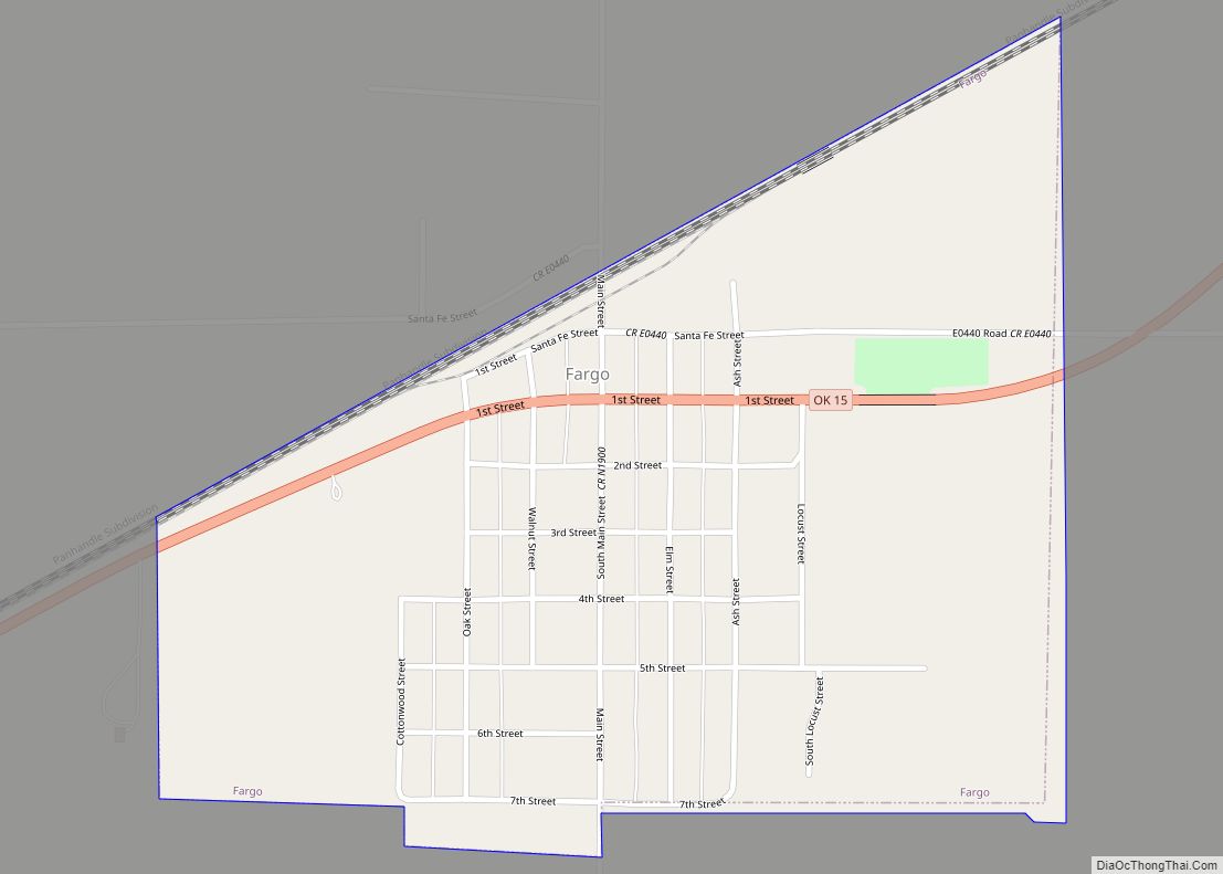
Fargo Road Map
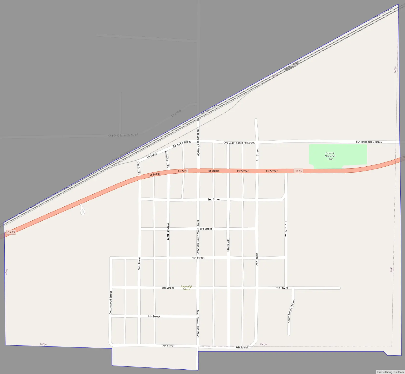
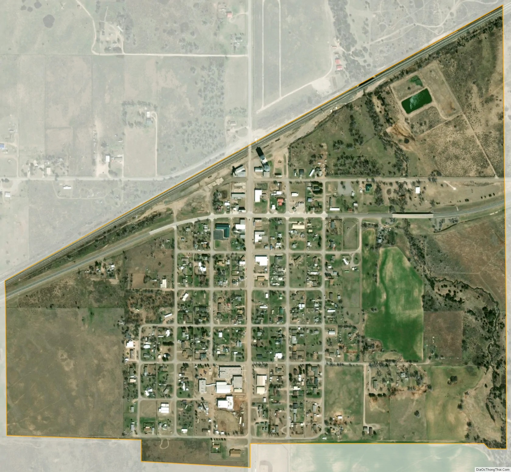
Fargo city Satellite Map
Geography
Fargo is located at 36°22′24″N 99°37′22″W / 36.37333°N 99.62278°W / 36.37333; -99.62278 (36.373449, -99.622749).
Fargo is northeast of Gage and southwest of Woodward off Oklahoma State Highway 15.
West Woodward Airport is about 9 miles northeast of town.
According to the United States Census Bureau, the town has a total area of 0.6 square miles (1.6 km), all land.
See also
Map of Oklahoma State and its subdivision:- Adair
- Alfalfa
- Atoka
- Beaver
- Beckham
- Blaine
- Bryan
- Caddo
- Canadian
- Carter
- Cherokee
- Choctaw
- Cimarron
- Cleveland
- Coal
- Comanche
- Cotton
- Craig
- Creek
- Custer
- Delaware
- Dewey
- Ellis
- Garfield
- Garvin
- Grady
- Grant
- Greer
- Harmon
- Harper
- Haskell
- Hughes
- Jackson
- Jefferson
- Johnston
- Kay
- Kingfisher
- Kiowa
- Latimer
- Le Flore
- Lincoln
- Logan
- Love
- Major
- Marshall
- Mayes
- McClain
- McCurtain
- McIntosh
- Murray
- Muskogee
- Noble
- Nowata
- Okfuskee
- Oklahoma
- Okmulgee
- Osage
- Ottawa
- Pawnee
- Payne
- Pittsburg
- Pontotoc
- Pottawatomie
- Pushmataha
- Roger Mills
- Rogers
- Seminole
- Sequoyah
- Stephens
- Texas
- Tillman
- Tulsa
- Wagoner
- Washington
- Washita
- Woods
- Woodward
- Alabama
- Alaska
- Arizona
- Arkansas
- California
- Colorado
- Connecticut
- Delaware
- District of Columbia
- Florida
- Georgia
- Hawaii
- Idaho
- Illinois
- Indiana
- Iowa
- Kansas
- Kentucky
- Louisiana
- Maine
- Maryland
- Massachusetts
- Michigan
- Minnesota
- Mississippi
- Missouri
- Montana
- Nebraska
- Nevada
- New Hampshire
- New Jersey
- New Mexico
- New York
- North Carolina
- North Dakota
- Ohio
- Oklahoma
- Oregon
- Pennsylvania
- Rhode Island
- South Carolina
- South Dakota
- Tennessee
- Texas
- Utah
- Vermont
- Virginia
- Washington
- West Virginia
- Wisconsin
- Wyoming