Arnett is a town in and the county seat of Ellis County, Oklahoma, United States. The population was 524 at the 2010 census, an 0.77 percent increase from 520 at the 2000 census.
| Name: | Arnett town |
|---|---|
| LSAD Code: | 43 |
| LSAD Description: | town (suffix) |
| State: | Oklahoma |
| County: | Ellis County |
| Founded: | 1900 |
| Incorporated: | 1909 |
| Elevation: | 2,447 ft (746 m) |
| Total Area: | 0.52 sq mi (1.34 km²) |
| Land Area: | 0.52 sq mi (1.34 km²) |
| Water Area: | 0.00 sq mi (0.00 km²) |
| Total Population: | 495 |
| Population Density: | 959.30/sq mi (370.23/km²) |
| ZIP code: | 73832 |
| Area code: | 580 |
| FIPS code: | 4002800 |
| GNISfeature ID: | 1089707 |
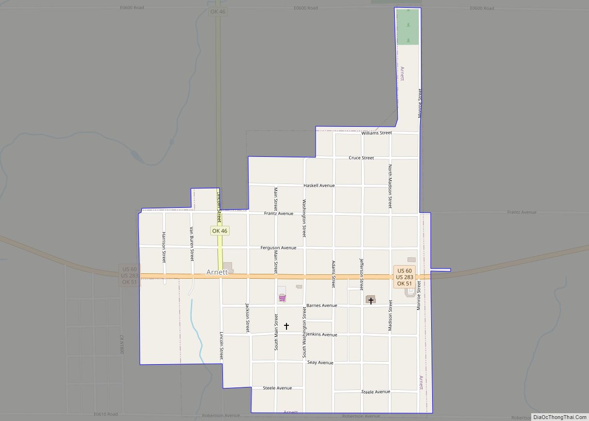
Online Interactive Map
Click on ![]() to view map in "full screen" mode.
to view map in "full screen" mode.
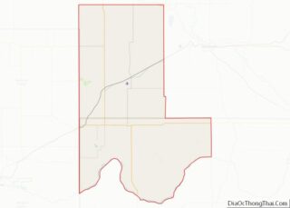
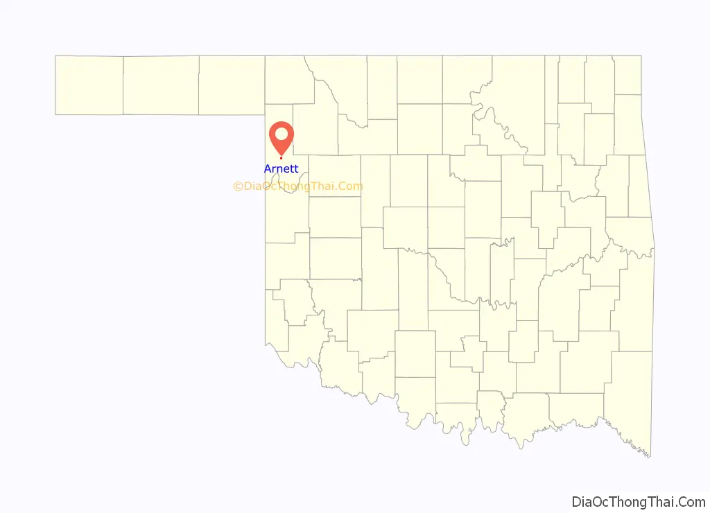
Arnett location map. Where is Arnett town?

History
The townsite came about at the junction of local trading routes. A post office was established at the townsite in 1902, with William G. Brown as the postmaster. Brown is said to have named the post office Arnett after A. S. Arnett, Brown’s minister from Fayetteville, West Virginia.
After statehood in 1907, several county boundaries changed, and the southern part of old Day County was added to the southwestern part of Woodward County to become Ellis County. An election to locate the county seat was held in June of 1908, and resulted in a runoff between Arnett and Shattuck, Oklahoma. Arnett won and remains the county seat today.
Arnett Road Map
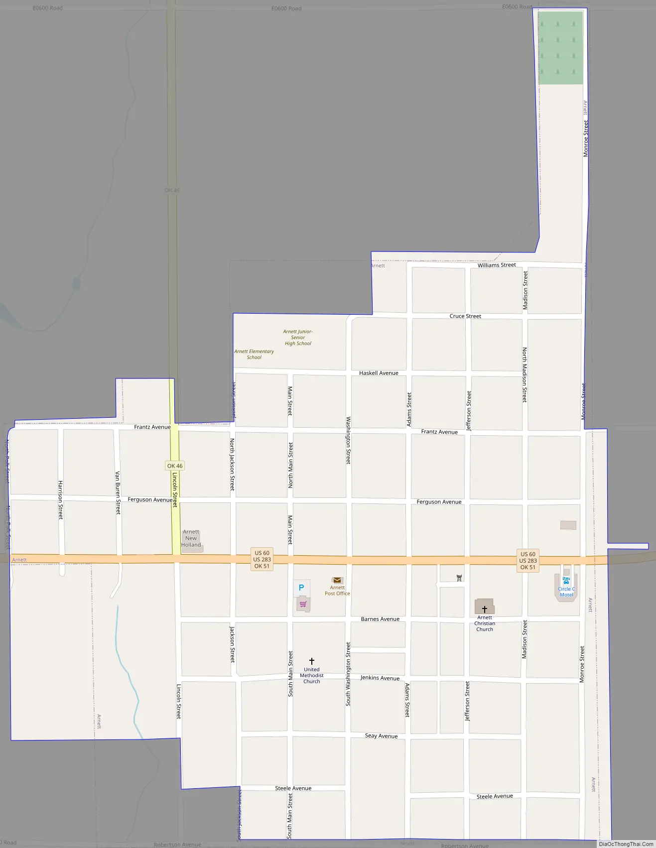
Arnett city Satellite Map

Geography
Arnett is located at 36°8′4″N 99°46′15″W / 36.13444°N 99.77083°W / 36.13444; -99.77083 (36.134368, −99.770826) at an elevation of 2,447 feet (746 m). It lies approximately 9 miles (14 km) north-northeast of the Canadian River in the rolling Red Plains region of the Great Plains. Located in northwestern Oklahoma at the junction of U.S. Route 60 and U.S. Route 283, Arnett is 131 mi (211 km) west-northwest of Oklahoma City, 135 mi (217 km) northeast of Amarillo, and 172 mi (277 km) southwest of Wichita.
According to the United States Census Bureau, the town has a total area of 0.4 square miles (1.0 km), all land.
Climate
Arnett has a humid subtropical climate (Köppen Cfa) with hot, humid summers and cold, dry winters. The average temperature in Arnett is 57 °F or 13.9 °C, and the average yearly precipitation is 25.4 inches or 645.2 millimetres. On average, January is the coolest month, July is the warmest month, and May is the wettest month. The hottest temperature recorded in Arnett was 110 °F or 43.3 °C in 1951; the coldest temperature recorded was −12 °F or −24.4 °C in 1959.
See also
Map of Oklahoma State and its subdivision:- Adair
- Alfalfa
- Atoka
- Beaver
- Beckham
- Blaine
- Bryan
- Caddo
- Canadian
- Carter
- Cherokee
- Choctaw
- Cimarron
- Cleveland
- Coal
- Comanche
- Cotton
- Craig
- Creek
- Custer
- Delaware
- Dewey
- Ellis
- Garfield
- Garvin
- Grady
- Grant
- Greer
- Harmon
- Harper
- Haskell
- Hughes
- Jackson
- Jefferson
- Johnston
- Kay
- Kingfisher
- Kiowa
- Latimer
- Le Flore
- Lincoln
- Logan
- Love
- Major
- Marshall
- Mayes
- McClain
- McCurtain
- McIntosh
- Murray
- Muskogee
- Noble
- Nowata
- Okfuskee
- Oklahoma
- Okmulgee
- Osage
- Ottawa
- Pawnee
- Payne
- Pittsburg
- Pontotoc
- Pottawatomie
- Pushmataha
- Roger Mills
- Rogers
- Seminole
- Sequoyah
- Stephens
- Texas
- Tillman
- Tulsa
- Wagoner
- Washington
- Washita
- Woods
- Woodward
- Alabama
- Alaska
- Arizona
- Arkansas
- California
- Colorado
- Connecticut
- Delaware
- District of Columbia
- Florida
- Georgia
- Hawaii
- Idaho
- Illinois
- Indiana
- Iowa
- Kansas
- Kentucky
- Louisiana
- Maine
- Maryland
- Massachusetts
- Michigan
- Minnesota
- Mississippi
- Missouri
- Montana
- Nebraska
- Nevada
- New Hampshire
- New Jersey
- New Mexico
- New York
- North Carolina
- North Dakota
- Ohio
- Oklahoma
- Oregon
- Pennsylvania
- Rhode Island
- South Carolina
- South Dakota
- Tennessee
- Texas
- Utah
- Vermont
- Virginia
- Washington
- West Virginia
- Wisconsin
- Wyoming