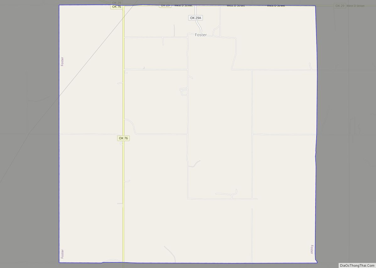
Foster is a town in Garvin County, Oklahoma, United States. It was incorporated in 2002 and had a population of 161 at the 2010 census.
Foster is served by State Highway 29A, a spur of State Highway 29. A post office was first established at Foster on August 12, 1891.
| Name: | Foster town |
|---|---|
| LSAD Code: | 43 |
| LSAD Description: | town (suffix) |
| State: | Oklahoma |
| County: | Garvin County |
| Elevation: | 974 ft (297 m) |
| Total Area: | 34.63 sq mi (89.69 km²) |
| Land Area: | 34.46 sq mi (89.25 km²) |
| Water Area: | 0.17 sq mi (0.44 km²) |
| Total Population: | 246 |
| Population Density: | 7.14/sq mi (2.76/km²) |
| ZIP code: | 73039 (historically), 73434 (today) |
| Area code: | 580 |
| FIPS code: | 4027500 |
| GNISfeature ID: | 1092974, 2412646 |
Online Interactive Map
Click on ![]() to view map in "full screen" mode.
to view map in "full screen" mode.
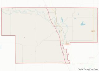
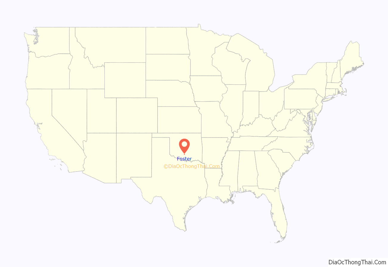
Foster location map. Where is Foster town?
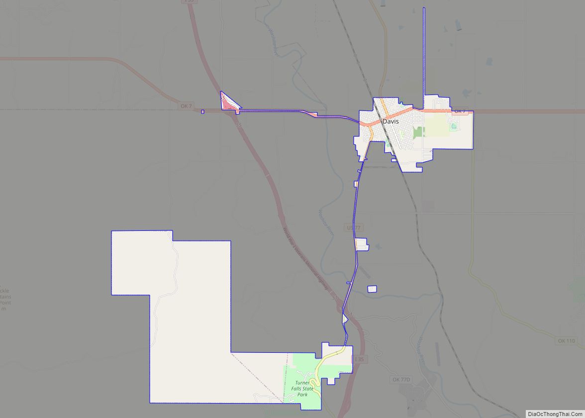
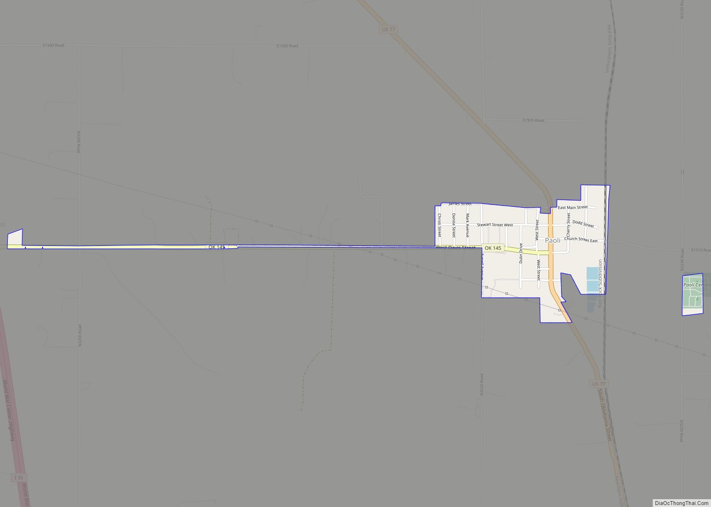
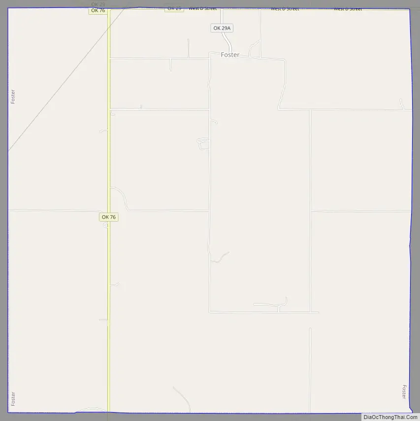
Foster Road Map
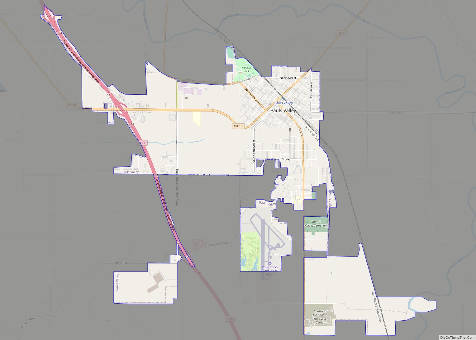
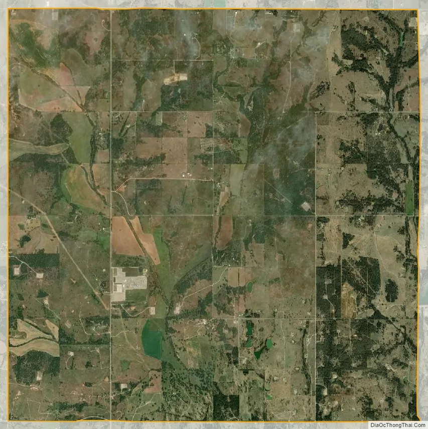
Foster city Satellite Map
Geography
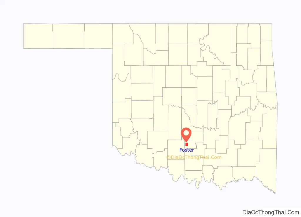
Foster is located in southwestern Garvin County at 34°36′59″N 97°29′21″W / 34.61639°N 97.48917°W / 34.61639; -97.48917 (34.6164698, -97.4891933). State Highway 29 follows the northern border of the town, leading east 5 miles (8 km) to Elmore City and west 18 miles (29 km) to Bray. State Highway 76 passes through the western part of the town, leading north 19 miles (31 km) to Lindsay and south 12 miles (19 km) to Ratliff City. Wynnewood is 21 miles (34 km) east of Foster via State Highway 29, and Pauls Valley, the Garvin County seat, is 22 miles (35 km) to the northeast via Highway 29 and Airline Road.
According to the U.S. Census Bureau, the town of Foster has a total area of 16.0 square miles (41.5 km), of which 15.9 square miles (41.3 km) are land and 0.1 square miles (0.2 km), or 0.52%, is water.
See also
Map of Oklahoma State and its subdivision:- Adair
- Alfalfa
- Atoka
- Beaver
- Beckham
- Blaine
- Bryan
- Caddo
- Canadian
- Carter
- Cherokee
- Choctaw
- Cimarron
- Cleveland
- Coal
- Comanche
- Cotton
- Craig
- Creek
- Custer
- Delaware
- Dewey
- Ellis
- Garfield
- Garvin
- Grady
- Grant
- Greer
- Harmon
- Harper
- Haskell
- Hughes
- Jackson
- Jefferson
- Johnston
- Kay
- Kingfisher
- Kiowa
- Latimer
- Le Flore
- Lincoln
- Logan
- Love
- Major
- Marshall
- Mayes
- McClain
- McCurtain
- McIntosh
- Murray
- Muskogee
- Noble
- Nowata
- Okfuskee
- Oklahoma
- Okmulgee
- Osage
- Ottawa
- Pawnee
- Payne
- Pittsburg
- Pontotoc
- Pottawatomie
- Pushmataha
- Roger Mills
- Rogers
- Seminole
- Sequoyah
- Stephens
- Texas
- Tillman
- Tulsa
- Wagoner
- Washington
- Washita
- Woods
- Woodward
- Alabama
- Alaska
- Arizona
- Arkansas
- California
- Colorado
- Connecticut
- Delaware
- District of Columbia
- Florida
- Georgia
- Hawaii
- Idaho
- Illinois
- Indiana
- Iowa
- Kansas
- Kentucky
- Louisiana
- Maine
- Maryland
- Massachusetts
- Michigan
- Minnesota
- Mississippi
- Missouri
- Montana
- Nebraska
- Nevada
- New Hampshire
- New Jersey
- New Mexico
- New York
- North Carolina
- North Dakota
- Ohio
- Oklahoma
- Oregon
- Pennsylvania
- Rhode Island
- South Carolina
- South Dakota
- Tennessee
- Texas
- Utah
- Vermont
- Virginia
- Washington
- West Virginia
- Wisconsin
- Wyoming