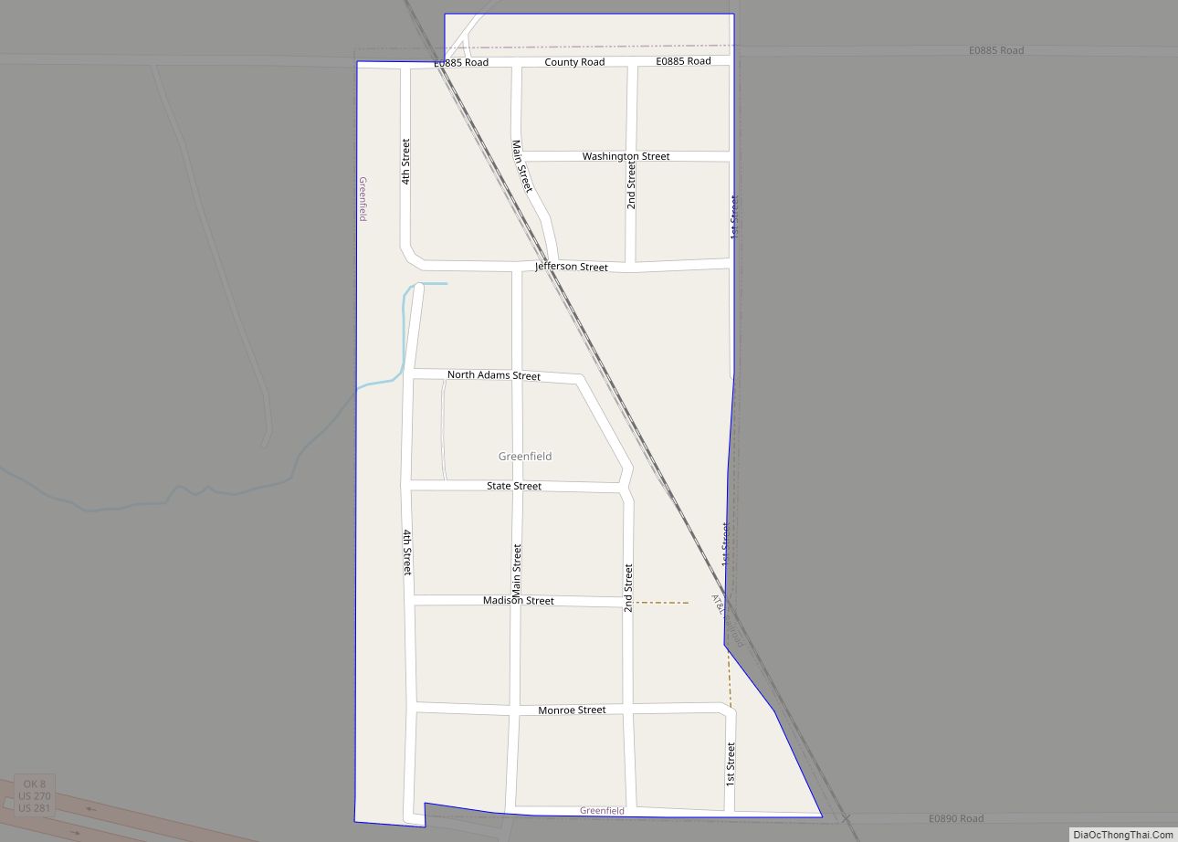
Greenfield is a town in Blaine County, Oklahoma, United States. The population was 93 at the 2010 census.
| Name: | Greenfield town |
|---|---|
| LSAD Code: | 43 |
| LSAD Description: | town (suffix) |
| State: | Oklahoma |
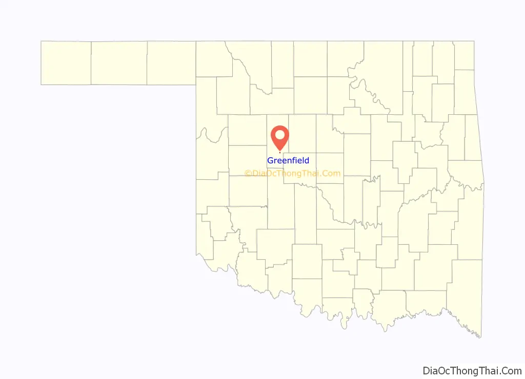
| County: | Blaine County |
| Elevation: | 1,457 ft (444 m) |
| Total Area: | 0.14 sq mi (0.37 km²) |
| Land Area: | 0.14 sq mi (0.37 km²) |
| Water Area: | 0.00 sq mi (0.00 km²) |
| Total Population: | 114 |
| Population Density: | 802.82/sq mi (309.90/km²) |
| ZIP code: | 73043 |
| Area code: | 580 |
| FIPS code: | 4031250 |
| GNISfeature ID: | 2412709 |
Online Interactive Map
Click on ![]() to view map in "full screen" mode.
to view map in "full screen" mode.
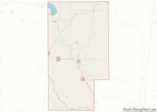
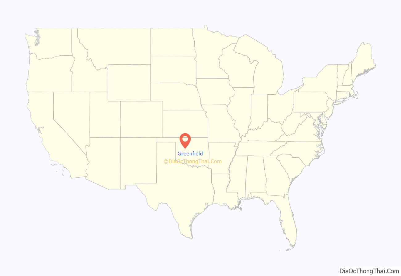
Greenfield location map. Where is Greenfield town?
History
The 80 original acres of Greenfield began as the homestead in 1899 of one George Evans. Somewhere in the 1900-1902 timeframe, the Choctaw Northern Railroad built through the area, its line running from Geary, Oklahoma to its termination at Anthony, Kansas. The railroad bought the farm from then-owners T.G. Curtner and J.M. Gray, proceeding to plat the town and sell lots. By 1913, the town had about 300 inhabitants, a newspaper (The Greenfield Hustler), a bank, a lumberyard, two livery barns, two grain elevators, a grist mill, a hotel, an opera house, and various merchants and contractors.
Greenfield still has freight rail service through the AT&L Railroad.
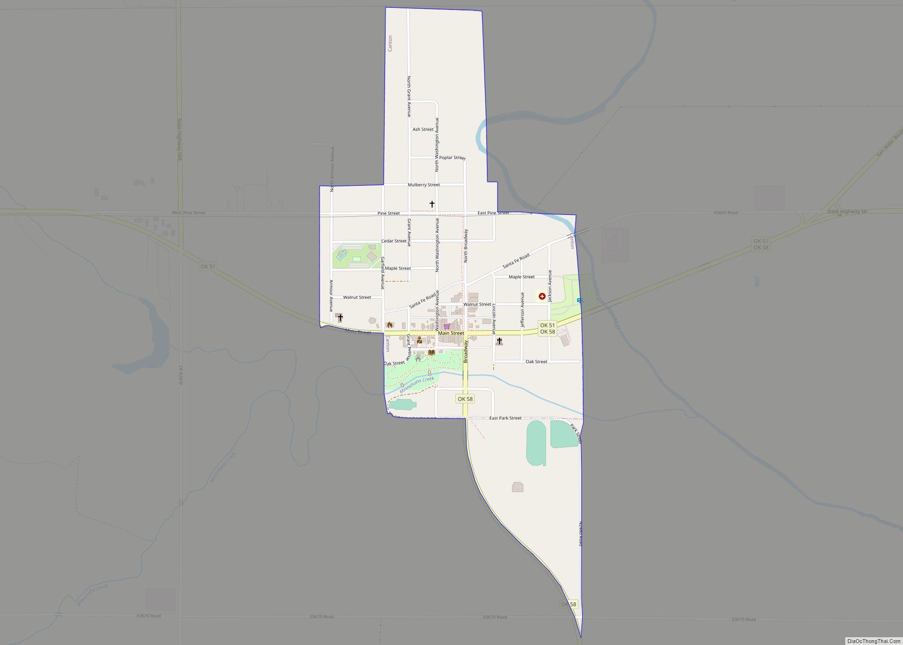
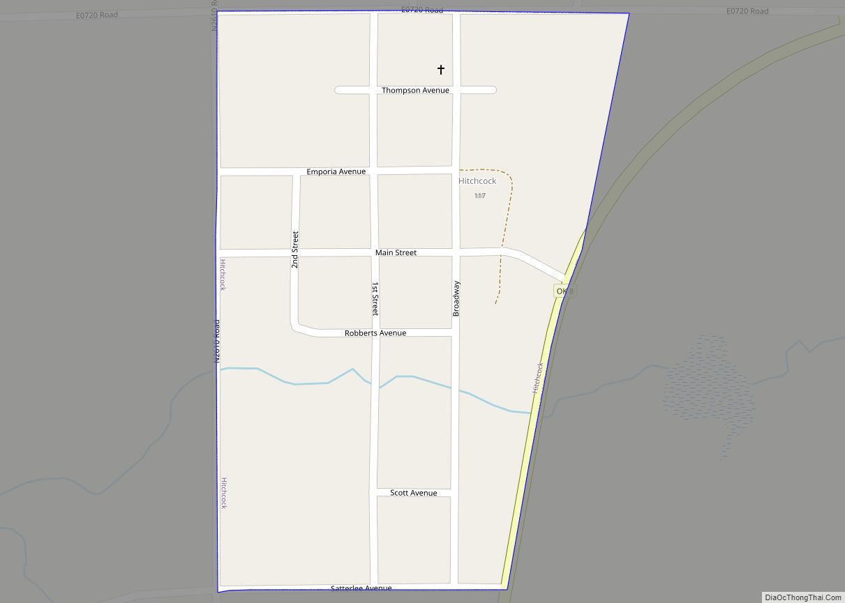
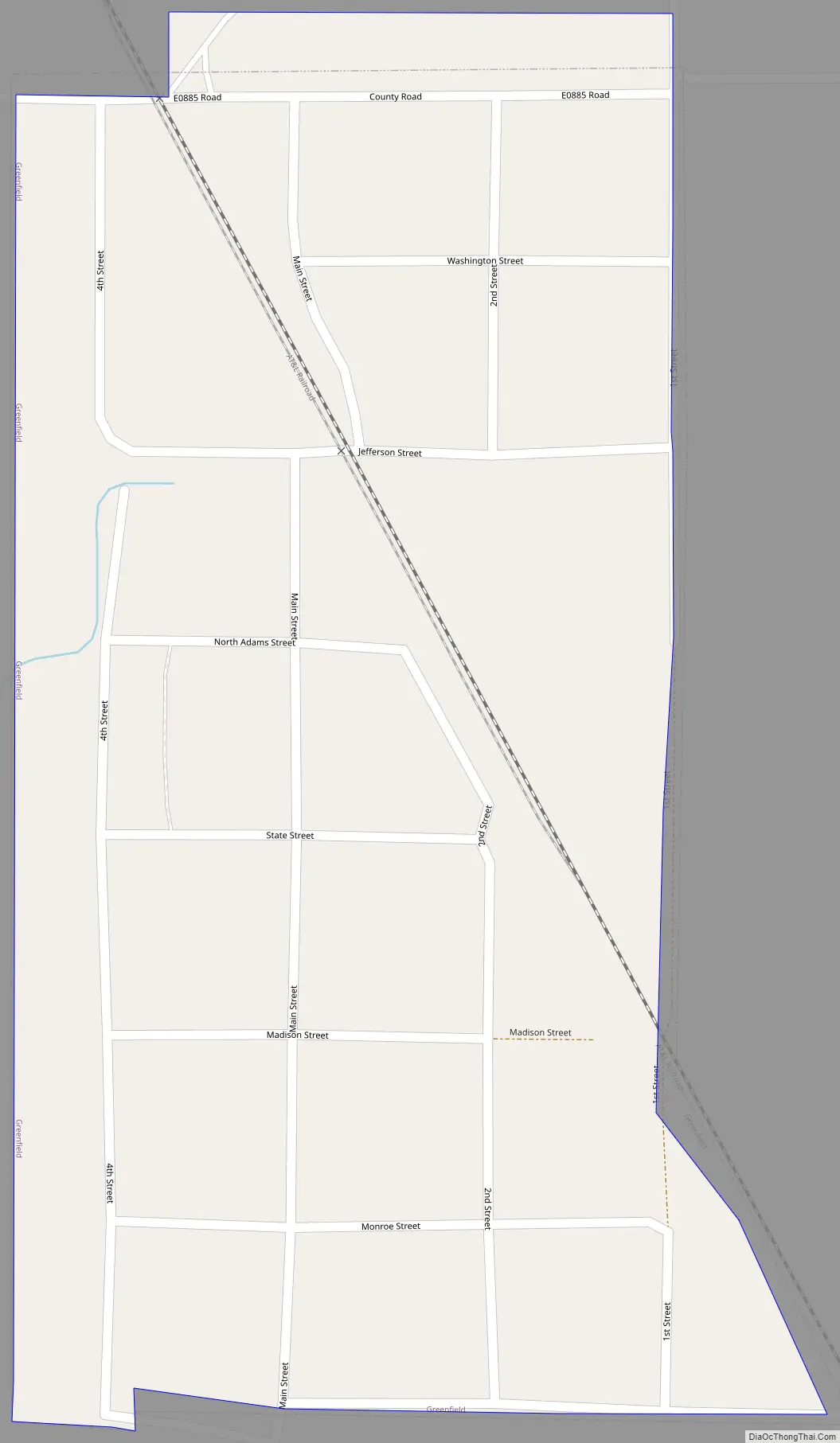
Greenfield Road Map
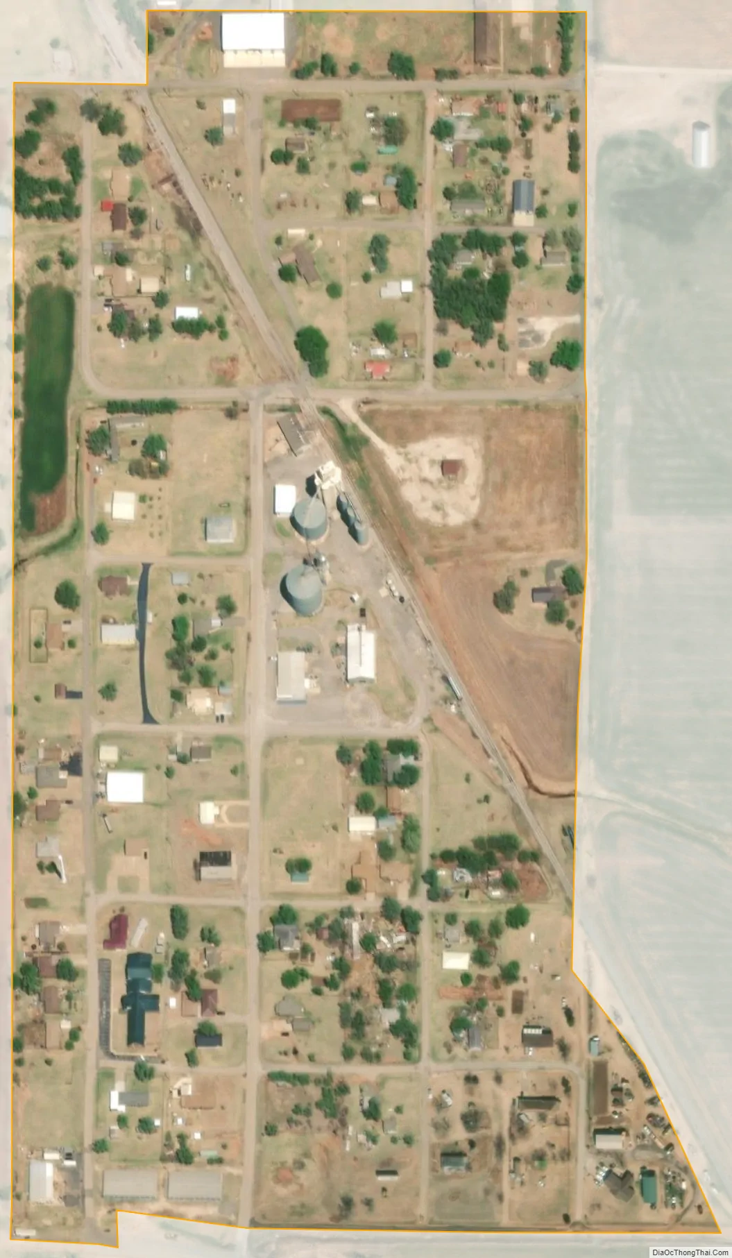
Greenfield city Satellite Map
Geography
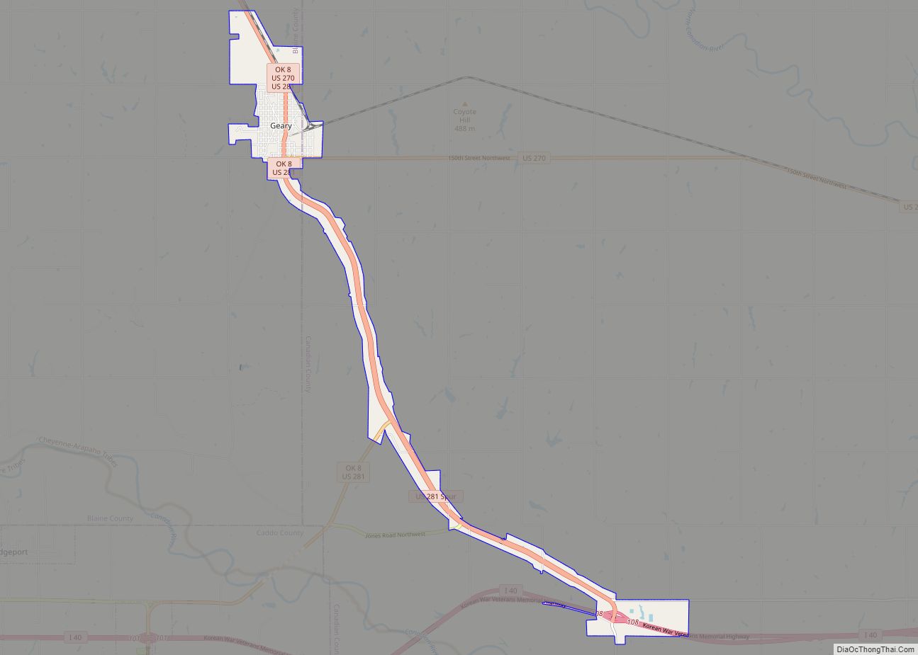
Greenfield is located in southern Blaine County along U.S. Routes 270 and 281, halfway between Watonga, the county seat, and Geary.
According to the United States Census Bureau, the town has a total area of 0.1 square miles (0.26 km), all land.
See also
Map of Oklahoma State and its subdivision:- Adair
- Alfalfa
- Atoka
- Beaver
- Beckham
- Blaine
- Bryan
- Caddo
- Canadian
- Carter
- Cherokee
- Choctaw
- Cimarron
- Cleveland
- Coal
- Comanche
- Cotton
- Craig
- Creek
- Custer
- Delaware
- Dewey
- Ellis
- Garfield
- Garvin
- Grady
- Grant
- Greer
- Harmon
- Harper
- Haskell
- Hughes
- Jackson
- Jefferson
- Johnston
- Kay
- Kingfisher
- Kiowa
- Latimer
- Le Flore
- Lincoln
- Logan
- Love
- Major
- Marshall
- Mayes
- McClain
- McCurtain
- McIntosh
- Murray
- Muskogee
- Noble
- Nowata
- Okfuskee
- Oklahoma
- Okmulgee
- Osage
- Ottawa
- Pawnee
- Payne
- Pittsburg
- Pontotoc
- Pottawatomie
- Pushmataha
- Roger Mills
- Rogers
- Seminole
- Sequoyah
- Stephens
- Texas
- Tillman
- Tulsa
- Wagoner
- Washington
- Washita
- Woods
- Woodward
- Alabama
- Alaska
- Arizona
- Arkansas
- California
- Colorado
- Connecticut
- Delaware
- District of Columbia
- Florida
- Georgia
- Hawaii
- Idaho
- Illinois
- Indiana
- Iowa
- Kansas
- Kentucky
- Louisiana
- Maine
- Maryland
- Massachusetts
- Michigan
- Minnesota
- Mississippi
- Missouri
- Montana
- Nebraska
- Nevada
- New Hampshire
- New Jersey
- New Mexico
- New York
- North Carolina
- North Dakota
- Ohio
- Oklahoma
- Oregon
- Pennsylvania
- Rhode Island
- South Carolina
- South Dakota
- Tennessee
- Texas
- Utah
- Vermont
- Virginia
- Washington
- West Virginia
- Wisconsin
- Wyoming