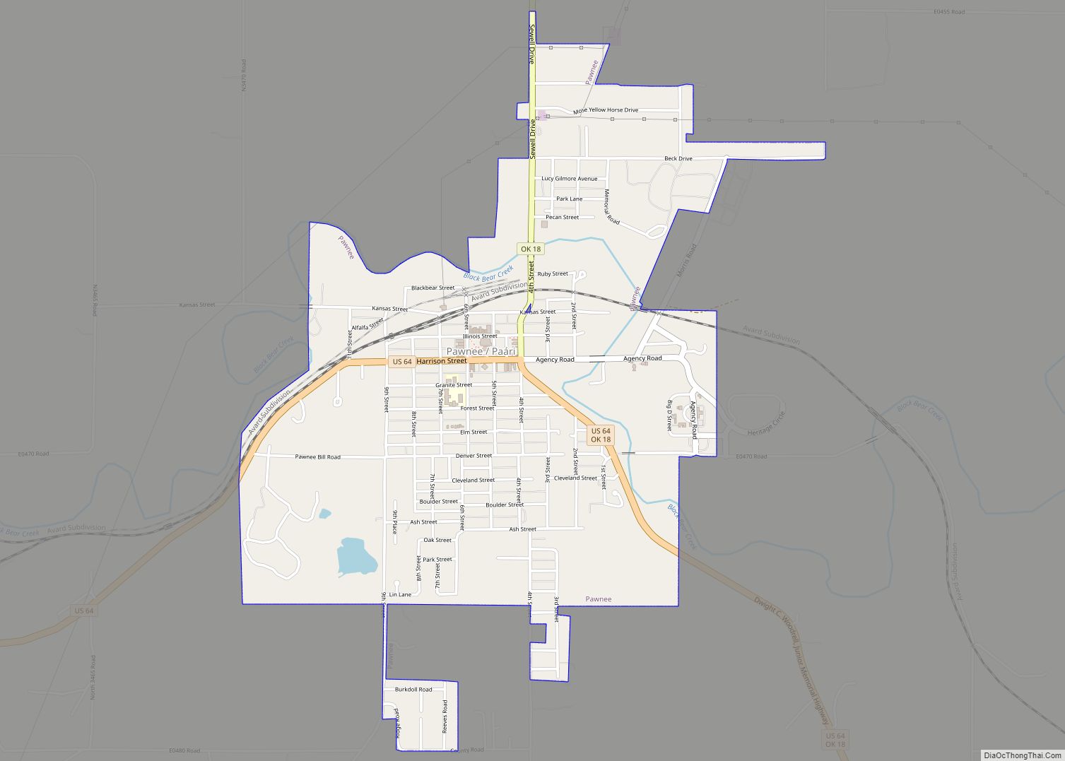
Hallett is a town in Pawnee County, Oklahoma, United States. It is located nineteen miles southeast of Pawnee, the county seat of Pawnee County, on State Highway 99, slightly north of U.S. Highway 412. The population was 125 at the 2010 census, a 25.6 percent decline from the figure of 168 recorded in 2000.
| Name: | Hallett town |
|---|---|
| LSAD Code: | 43 |
| LSAD Description: | town (suffix) |
| State: | Oklahoma |
| County: | Pawnee County |
| Elevation: | 915 ft (279 m) |
| Total Area: | 0.92 sq mi (2.38 km²) |
| Land Area: | 0.92 sq mi (2.38 km²) |
| Water Area: | 0.00 sq mi (0.00 km²) |
| Total Population: | 105 |
| Population Density: | 114.13/sq mi (44.07/km²) |
| ZIP code: | 74034 |
| Area code: | 539/918 |
| FIPS code: | 4032050 |
| GNISfeature ID: | 1093491 |
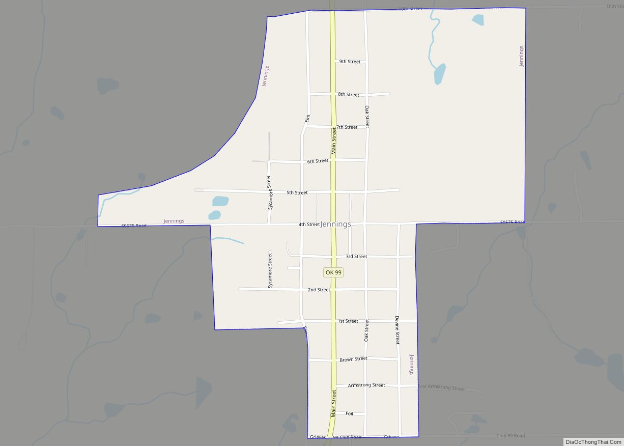
Online Interactive Map
Click on ![]() to view map in "full screen" mode.
to view map in "full screen" mode.
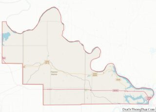
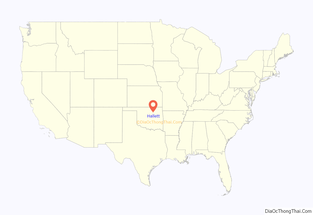
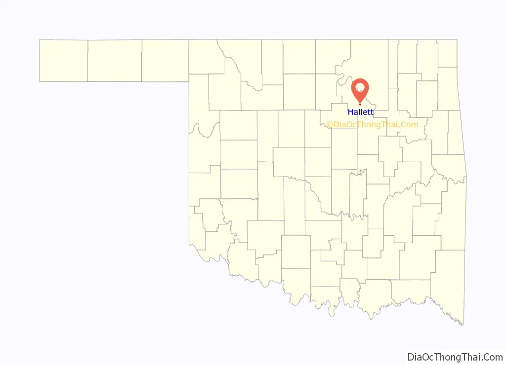
Hallett location map. Where is Hallett town?
History
The town of Hallett was founded on December 8, 1904 at the junction of the Arkansas Valley and Western Railway (later the St. Louis and San Francisco Railway) and the Missouri, Kansas and Oklahoma Railroad (later the Missouri, Kansas and Texas Railway). The developer, Hallett Townsite Company, was named for Charles H. Hallett, an officer in the Nineteenth Kansas Cavalry. A post office was established in the town on May 19, 1905, and the first newspaper, the weekly Hallett Herald was published.
Hallett became a trade center for the local agriculture industry. The discovery of Hallett oil field brought a brief boom in 1908 and again in the 1920s. Population peaked at 279 in 1920, then declined to a low of 120 in 1950.
An explosion at the Aerlex Fireworks plant killed 21 people on June 25, 1985.
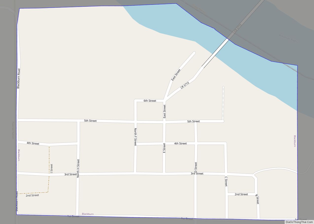
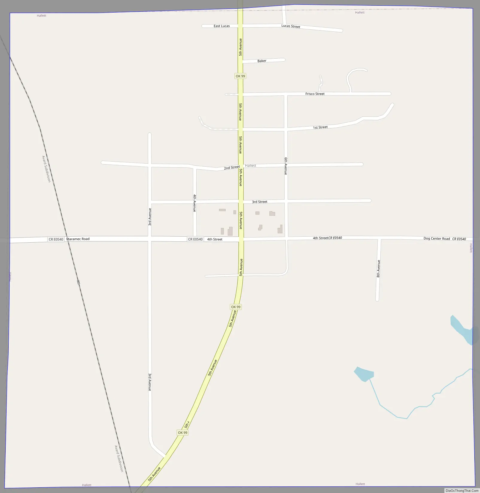
Hallett Road Map
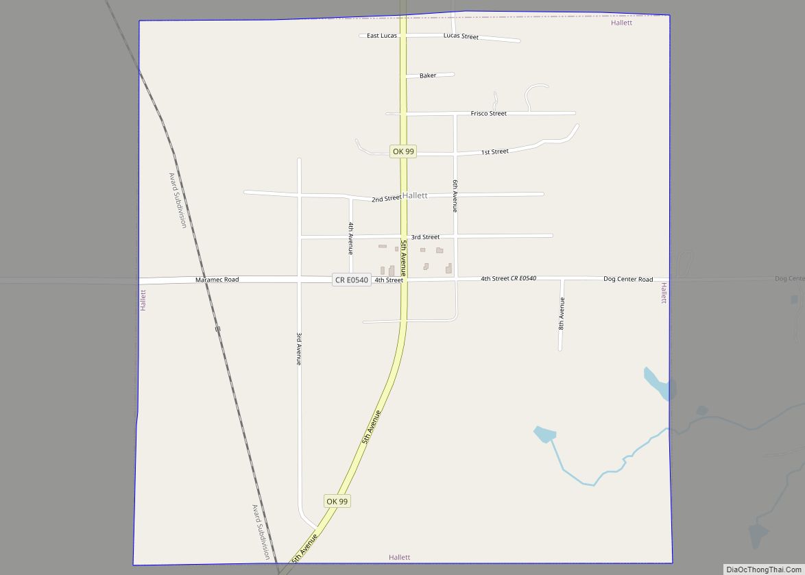
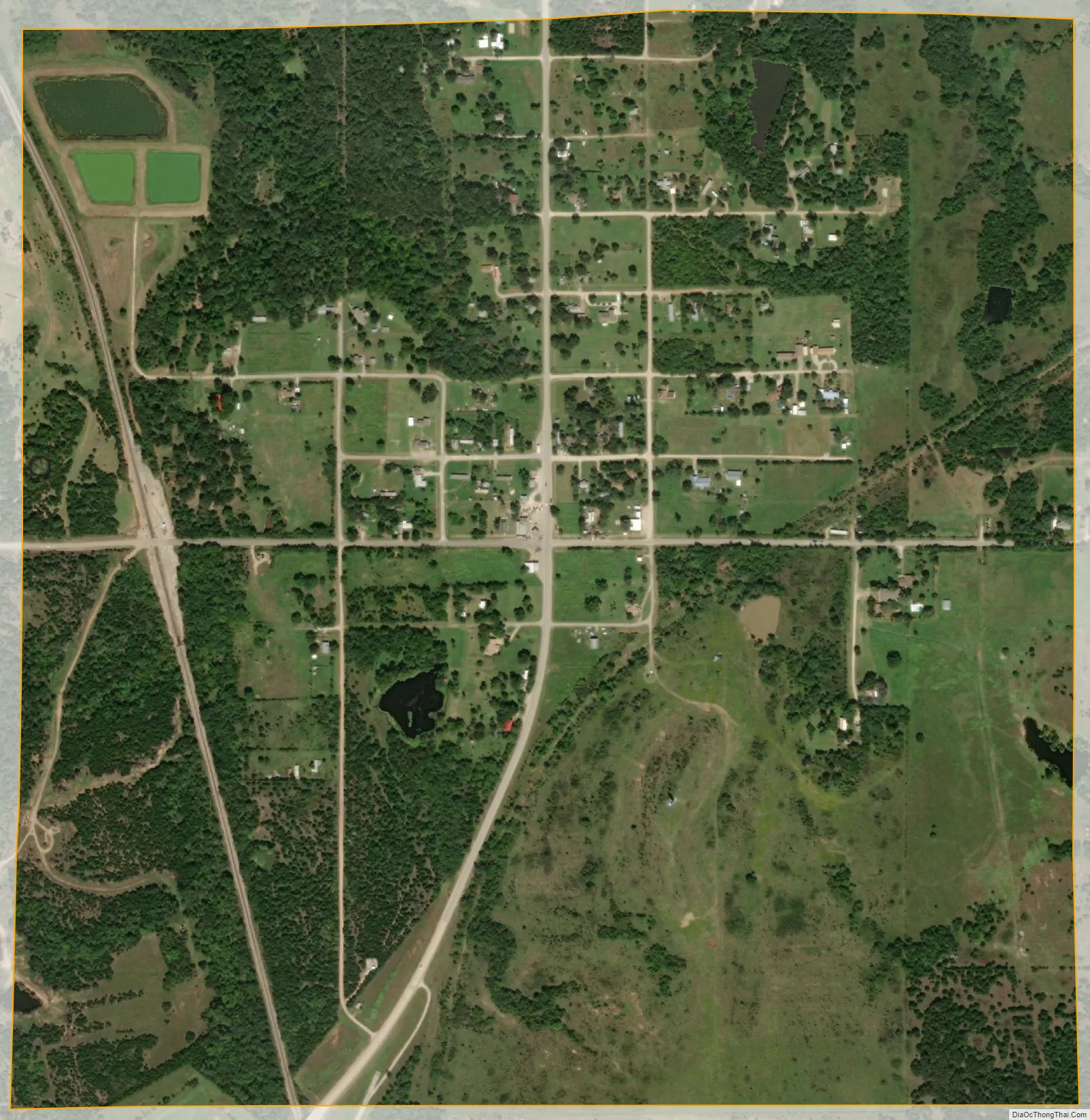
Hallett city Satellite Map
Geography
Hallett is located at 36°13′57″N 96°34′08″W / 36.232452°N 96.568823°W / 36.232452; -96.568823. According to the United States Census Bureau, the town has a total area of 0.9 square miles (2.3 km), all land. It is approximately 19 miles (31 km) southeast of the city of Pawnee.
See also
Map of Oklahoma State and its subdivision:- Adair
- Alfalfa
- Atoka
- Beaver
- Beckham
- Blaine
- Bryan
- Caddo
- Canadian
- Carter
- Cherokee
- Choctaw
- Cimarron
- Cleveland
- Coal
- Comanche
- Cotton
- Craig
- Creek
- Custer
- Delaware
- Dewey
- Ellis
- Garfield
- Garvin
- Grady
- Grant
- Greer
- Harmon
- Harper
- Haskell
- Hughes
- Jackson
- Jefferson
- Johnston
- Kay
- Kingfisher
- Kiowa
- Latimer
- Le Flore
- Lincoln
- Logan
- Love
- Major
- Marshall
- Mayes
- McClain
- McCurtain
- McIntosh
- Murray
- Muskogee
- Noble
- Nowata
- Okfuskee
- Oklahoma
- Okmulgee
- Osage
- Ottawa
- Pawnee
- Payne
- Pittsburg
- Pontotoc
- Pottawatomie
- Pushmataha
- Roger Mills
- Rogers
- Seminole
- Sequoyah
- Stephens
- Texas
- Tillman
- Tulsa
- Wagoner
- Washington
- Washita
- Woods
- Woodward
- Alabama
- Alaska
- Arizona
- Arkansas
- California
- Colorado
- Connecticut
- Delaware
- District of Columbia
- Florida
- Georgia
- Hawaii
- Idaho
- Illinois
- Indiana
- Iowa
- Kansas
- Kentucky
- Louisiana
- Maine
- Maryland
- Massachusetts
- Michigan
- Minnesota
- Mississippi
- Missouri
- Montana
- Nebraska
- Nevada
- New Hampshire
- New Jersey
- New Mexico
- New York
- North Carolina
- North Dakota
- Ohio
- Oklahoma
- Oregon
- Pennsylvania
- Rhode Island
- South Carolina
- South Dakota
- Tennessee
- Texas
- Utah
- Vermont
- Virginia
- Washington
- West Virginia
- Wisconsin
- Wyoming