Hendrix is a town in Bryan County, Oklahoma, United States. The population was 79 at both the 2010 and the 2000 censuses. According to the Bryan County Genealogy Society, Hendrix was originally known as Kemp City. This led to it often being confused with the neighboring town that is simply named Kemp. Hendrix was largely destroyed by a 1916 tornado.
| Name: | Hendrix town |
|---|---|
| LSAD Code: | 43 |
| LSAD Description: | town (suffix) |
| State: | Oklahoma |
| County: | Bryan County |
| Elevation: | 581 ft (177 m) |
| Total Area: | 0.12 sq mi (0.31 km²) |
| Land Area: | 0.12 sq mi (0.31 km²) |
| Water Area: | 0.00 sq mi (0.00 km²) |
| Total Population: | 61 |
| Population Density: | 512.61/sq mi (198.42/km²) |
| ZIP code: | 74741 |
| Area code: | 580 |
| FIPS code: | 4033600 |
| GNISfeature ID: | 1093666 |
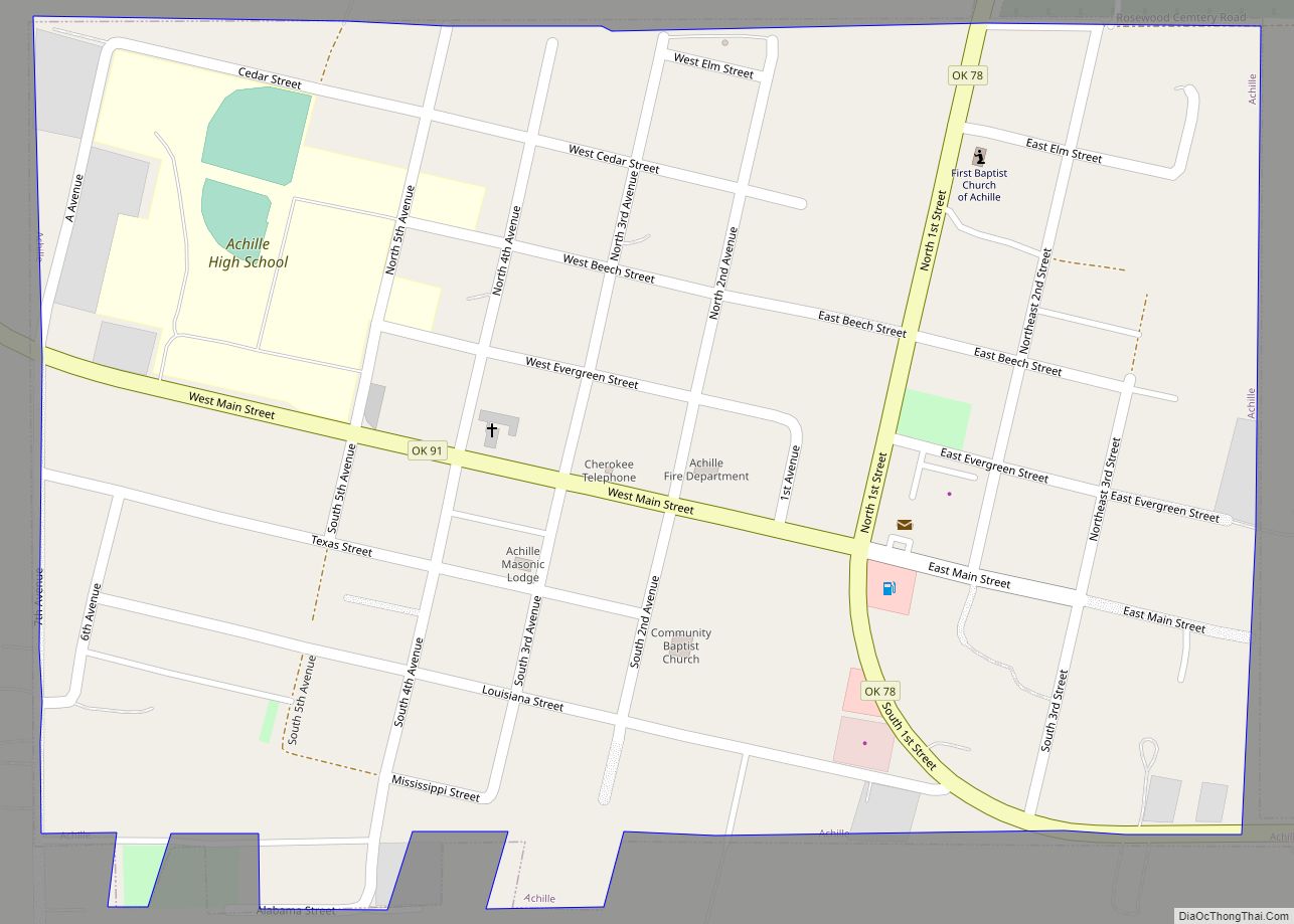
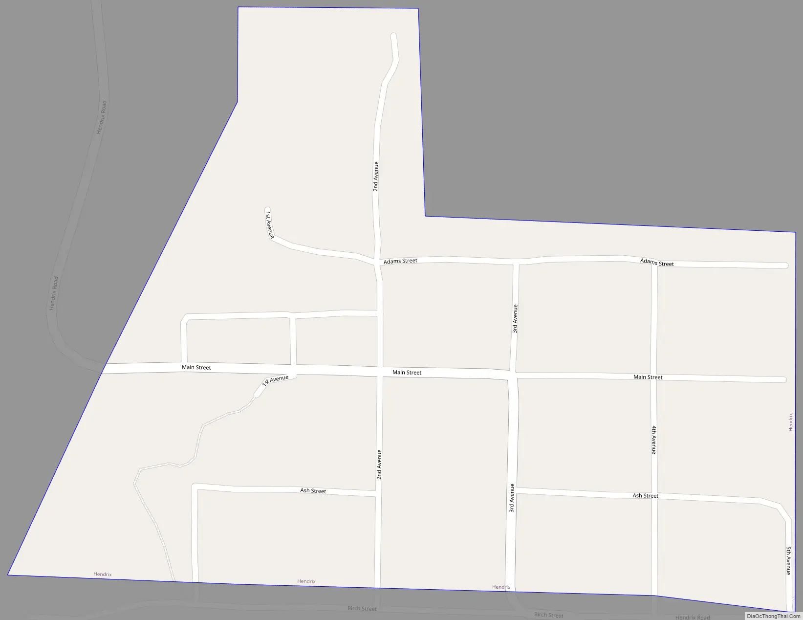
Online Interactive Map
Click on ![]() to view map in "full screen" mode.
to view map in "full screen" mode.
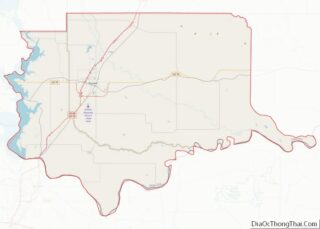
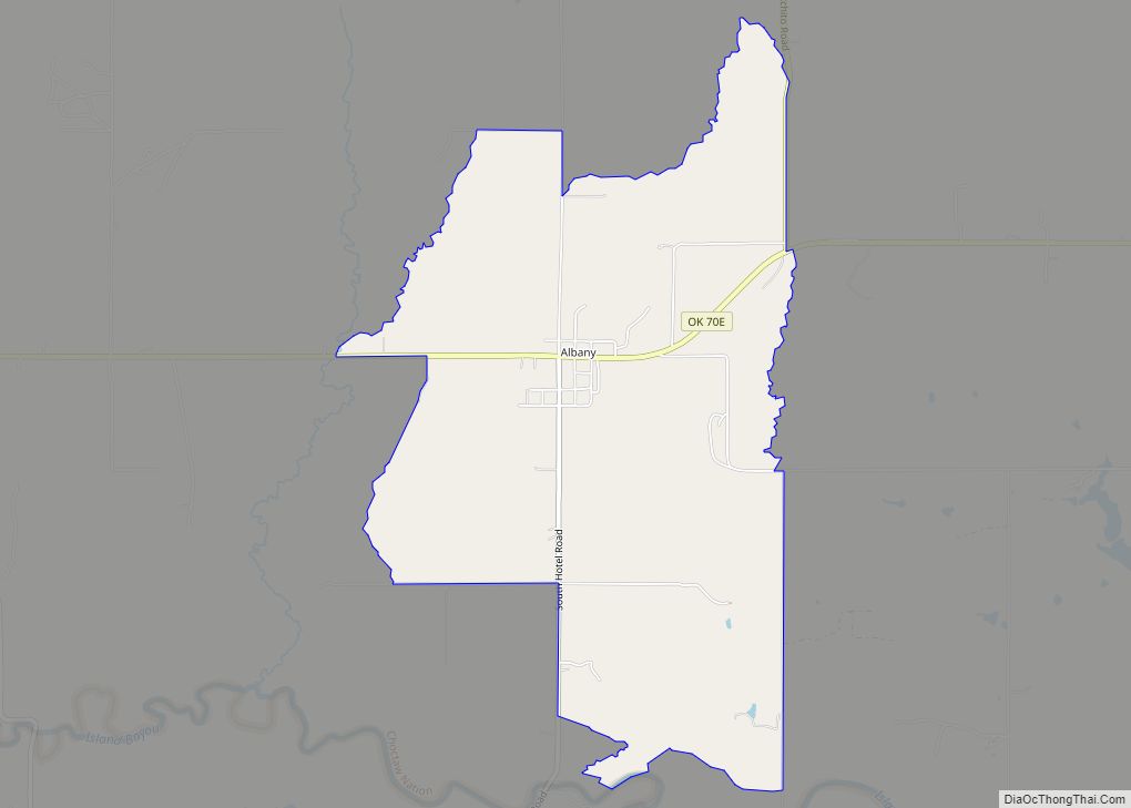
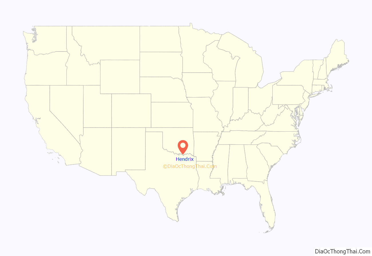
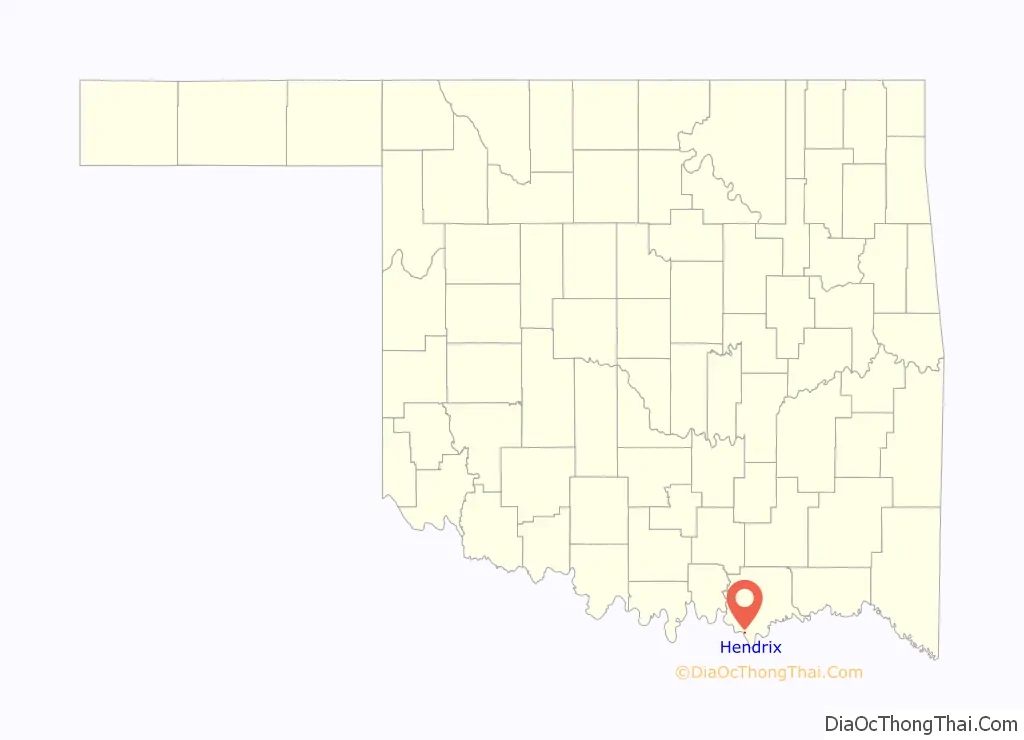
Hendrix location map. Where is Hendrix town?
History
Hendrix was named for the owner of a general store named James A. Hendrix. originally called Kemp City when the Missouri, Oklahoma and Gulf Railway (MO&G) bypassed the town of Kemp in 1908 while building a line to Texas. In 1910, residents petitioned the Oklahoma Corporation Commission to force the MO&G to build a side track and stop station called Kemp City at present-day Hendrix. The commission ordered the railroad to satisfy the request, but the MO&G appealed to the Oklahoma Supreme Court, which upheld the commission in 1911.
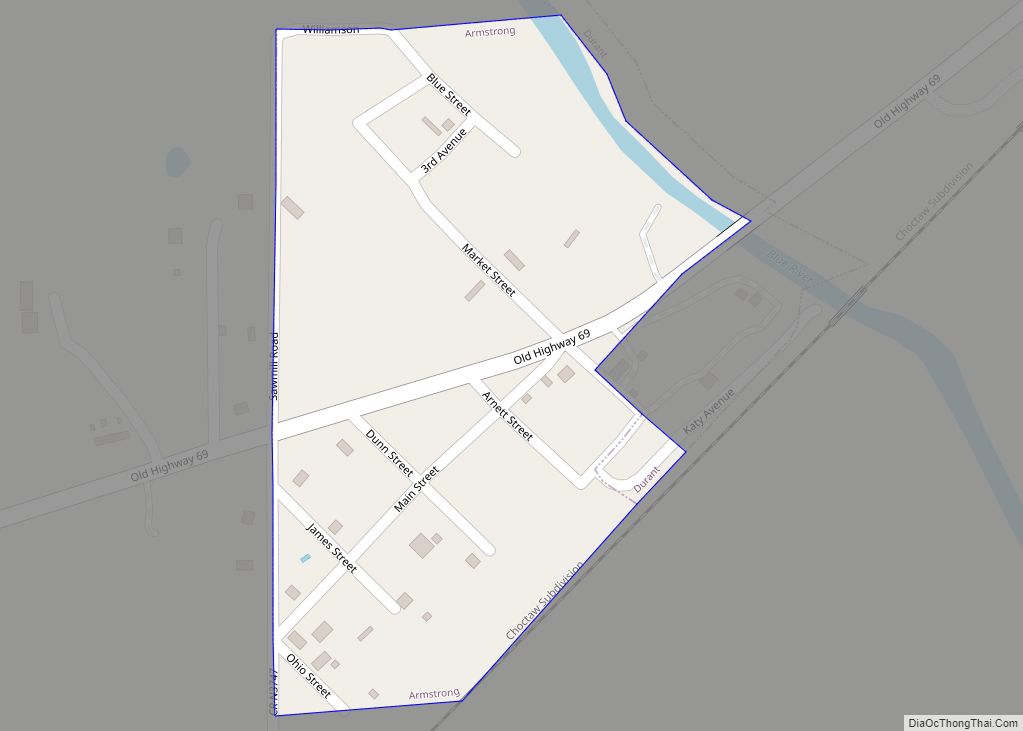
Hendrix Road Map
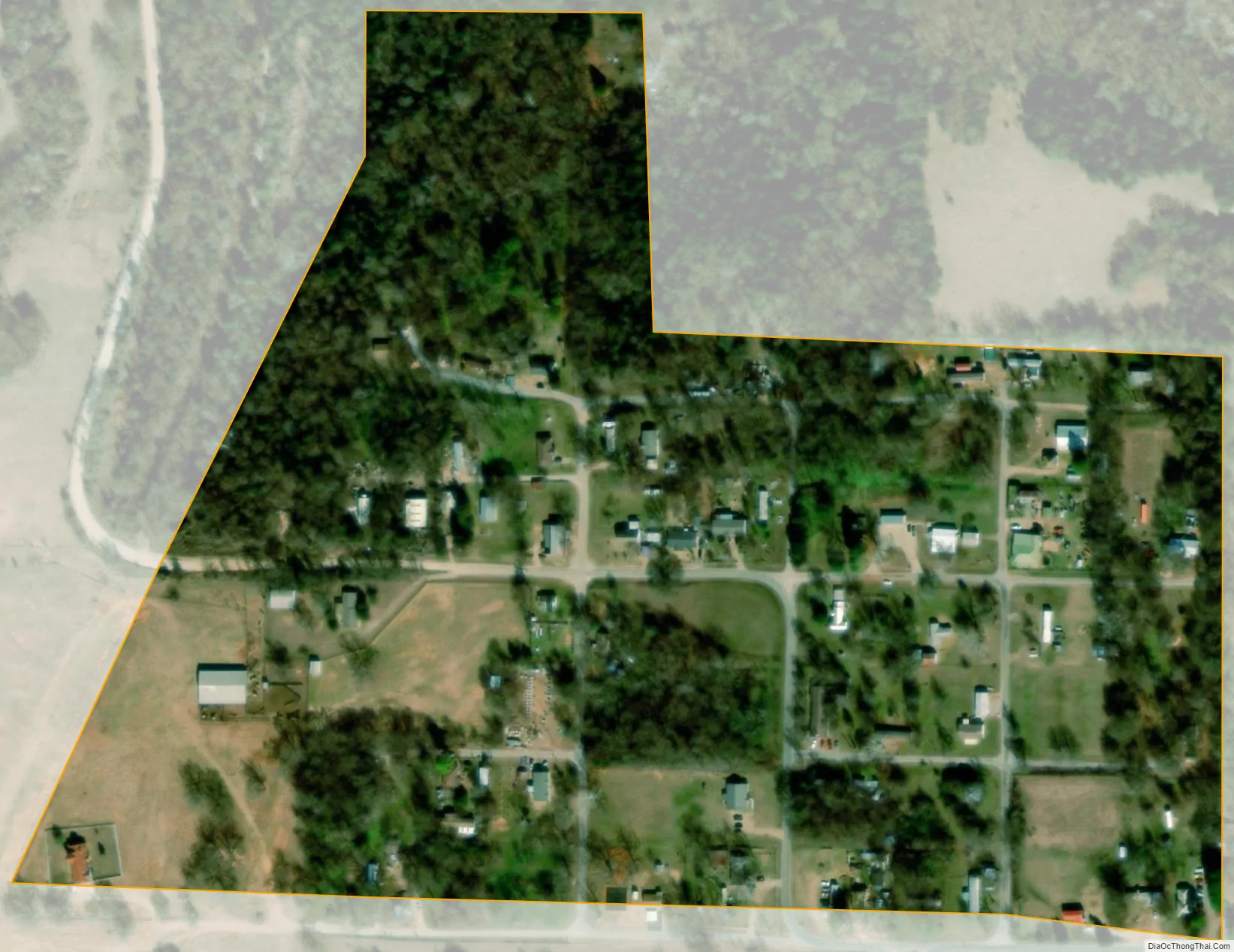
Hendrix city Satellite Map
Geography
Hendrix is located at 33°46′29″N 96°24′25″W / 33.77472°N 96.40694°W / 33.77472; -96.40694 (33.774724, -96.406824).
According to the United States Census Bureau, the town has a total area of 0.1 square miles (0.26 km), all land.
See also
Map of Oklahoma State and its subdivision:- Adair
- Alfalfa
- Atoka
- Beaver
- Beckham
- Blaine
- Bryan
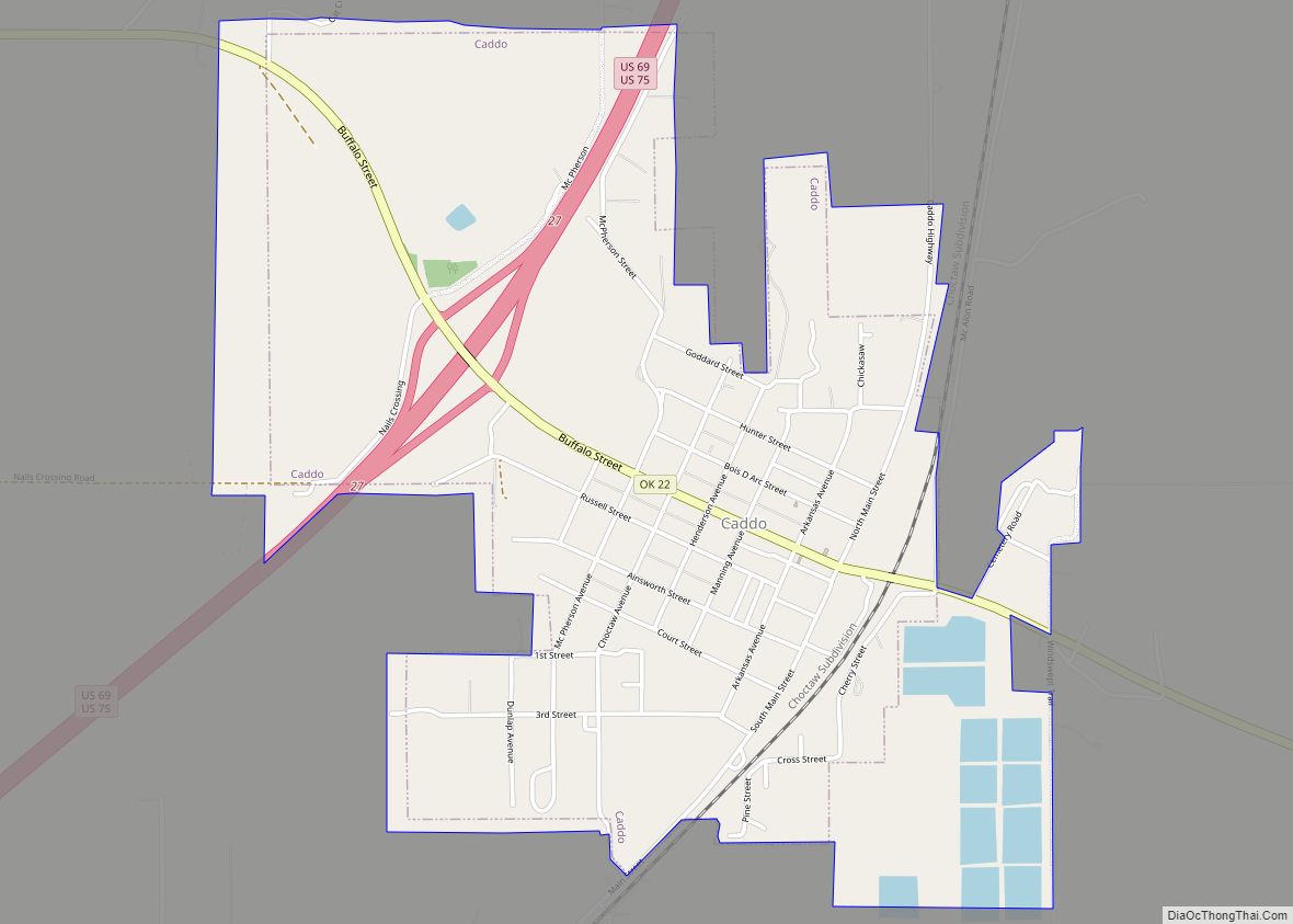
- Caddo
- Canadian
- Carter
- Cherokee
- Choctaw
- Cimarron
- Cleveland
- Coal
- Comanche
- Cotton
- Craig
- Creek
- Custer
- Delaware
- Dewey
- Ellis
- Garfield
- Garvin
- Grady
- Grant
- Greer
- Harmon
- Harper
- Haskell
- Hughes
- Jackson
- Jefferson
- Johnston
- Kay
- Kingfisher
- Kiowa
- Latimer
- Le Flore
- Lincoln
- Logan
- Love
- Major
- Marshall
- Mayes
- McClain
- McCurtain
- McIntosh
- Murray
- Muskogee
- Noble
- Nowata
- Okfuskee
- Oklahoma
- Okmulgee
- Osage
- Ottawa
- Pawnee
- Payne
- Pittsburg
- Pontotoc
- Pottawatomie
- Pushmataha
- Roger Mills
- Rogers
- Seminole
- Sequoyah
- Stephens
- Texas
- Tillman
- Tulsa
- Wagoner
- Washington
- Washita
- Woods
- Woodward
- Alabama
- Alaska
- Arizona
- Arkansas
- California
- Colorado
- Connecticut
- Delaware
- District of Columbia
- Florida
- Georgia
- Hawaii
- Idaho
- Illinois
- Indiana
- Iowa
- Kansas
- Kentucky
- Louisiana
- Maine
- Maryland
- Massachusetts
- Michigan
- Minnesota
- Mississippi
- Missouri
- Montana
- Nebraska
- Nevada
- New Hampshire
- New Jersey
- New Mexico
- New York
- North Carolina
- North Dakota
- Ohio
- Oklahoma
- Oregon
- Pennsylvania
- Rhode Island
- South Carolina
- South Dakota
- Tennessee
- Texas
- Utah
- Vermont
- Virginia
- Washington
- West Virginia
- Wisconsin
- Wyoming