Hollister is a town in Tillman County, Oklahoma, United States. The population was 50 at the 2010 census, a decline of 16.7 percent from 60 in 2000.
| Name: | Hollister town |
|---|---|
| LSAD Code: | 43 |
| LSAD Description: | town (suffix) |
| State: | Oklahoma |
| County: | Tillman County |
| Elevation: | 1,125 ft (343 m) |
| Total Area: | 0.27 sq mi (0.69 km²) |
| Land Area: | 0.27 sq mi (0.69 km²) |
| Water Area: | 0.00 sq mi (0.00 km²) |
| Total Population: | 35 |
| Population Density: | 130.60/sq mi (50.46/km²) |
| ZIP code: | 73551 |
| Area code: | 580 |
| FIPS code: | 4035550 |
| GNISfeature ID: | 1093850 |
Online Interactive Map
Click on ![]() to view map in "full screen" mode.
to view map in "full screen" mode.
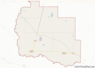
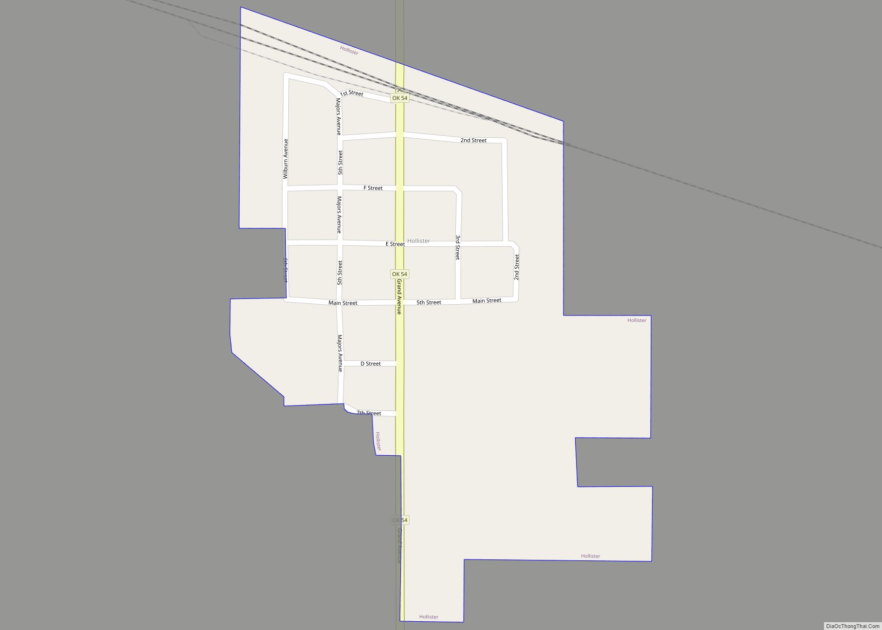
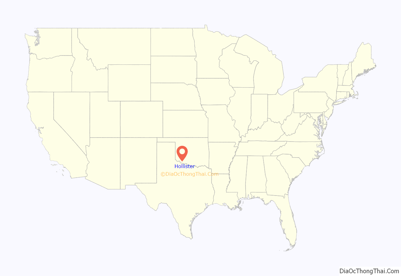
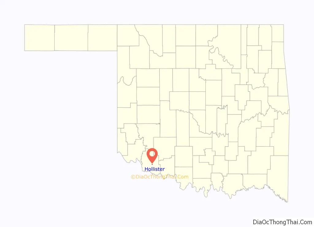
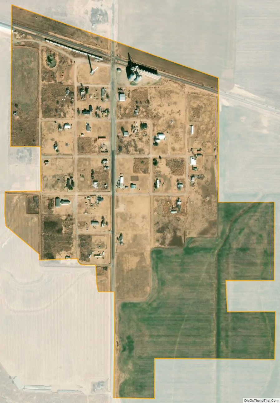
Hollister location map. Where is Hollister town?
History
The Wichita Falls and Northwestern Railway (later the Missouri, Kansas and Texas Railway) founded Hollister in 1907 as a depot on its line from Wichita Falls, Texas to Frederick, Oklahoma. Hollister was built between the towns of Isadore and Parton. Many of its buildings were moved from Parton. Originally, this was the location of a railroad switch known as “Happy Jack,” “Happy Spur,” or just “Happy.” The first station was a boxcar, and the first train arrived on November 16, 1907. The town was named for Harry L. Hollister, the depot agent in Frederick. A post office was established on February 1, 1909.
Hollister’s population peaked at 200 in 1940, then began a decline to 105 in 1970. The high school closed in 1963 and the grade school in 1968. At the turn of the 21st Century, Hollister had a post office, a Baptist church and two grain elevators.
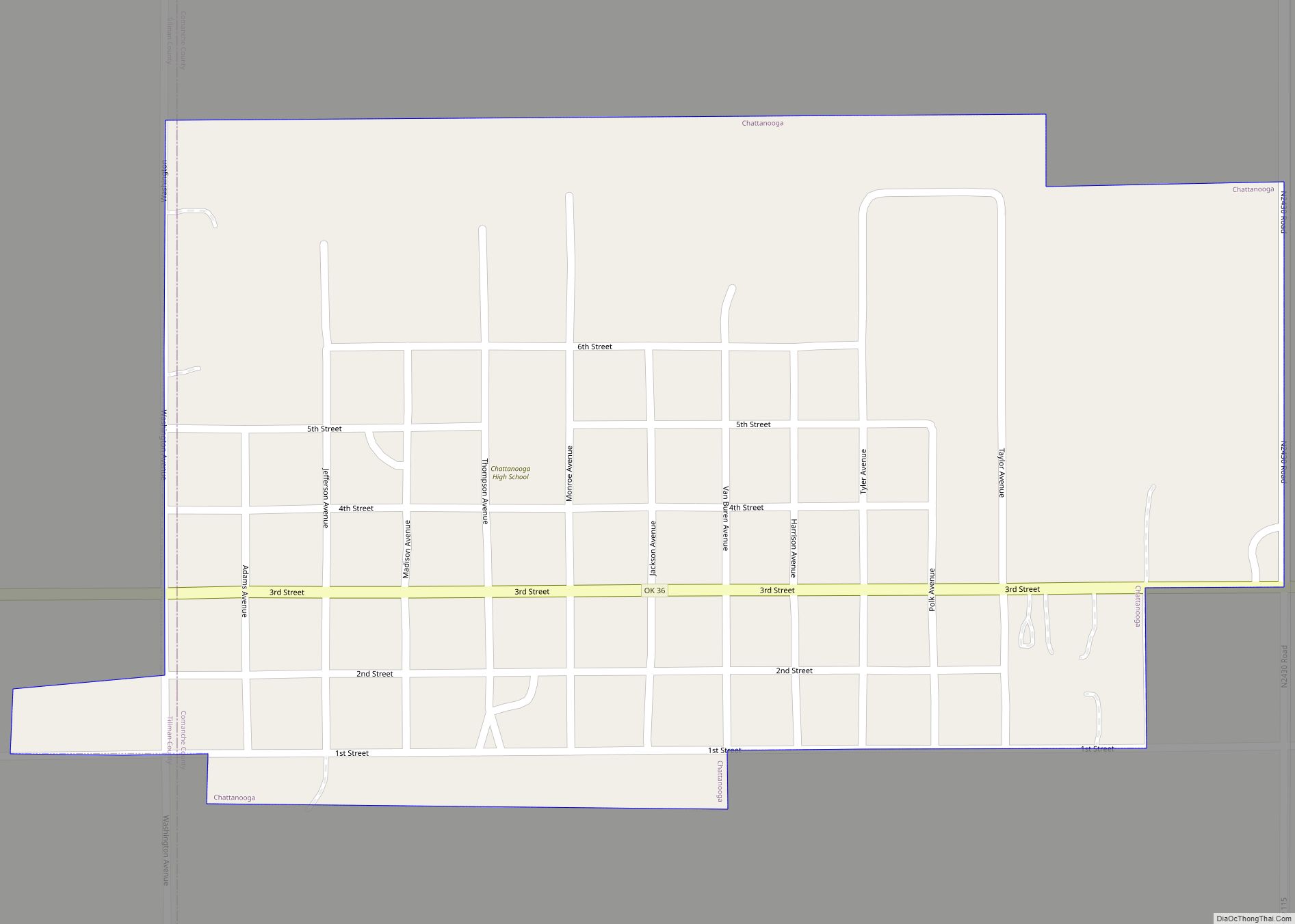
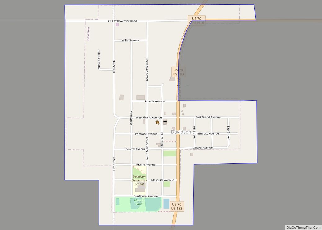
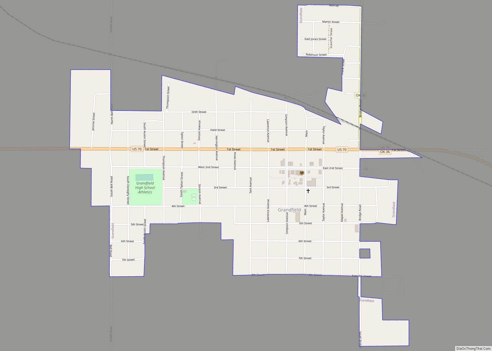
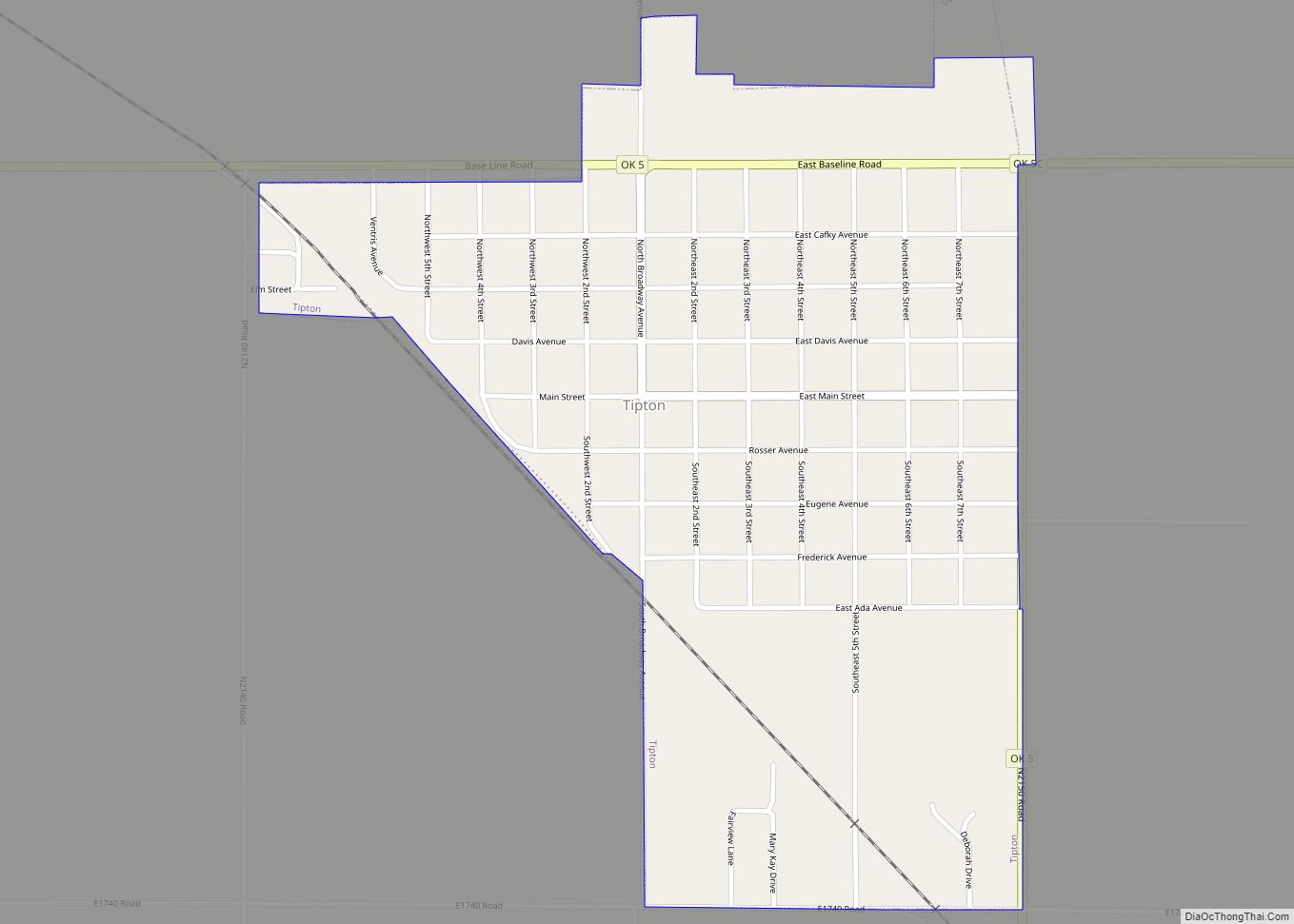
Hollister Road Map
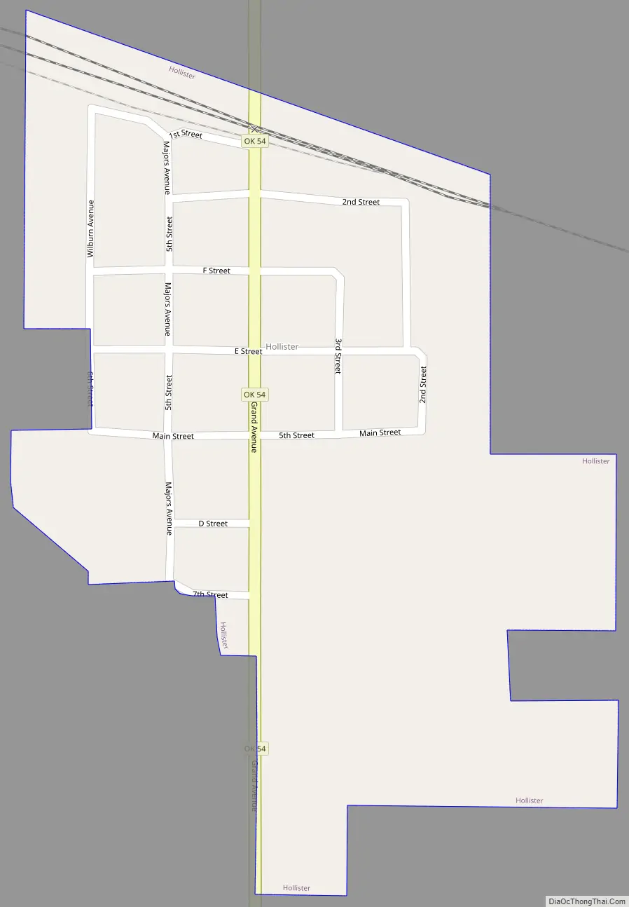
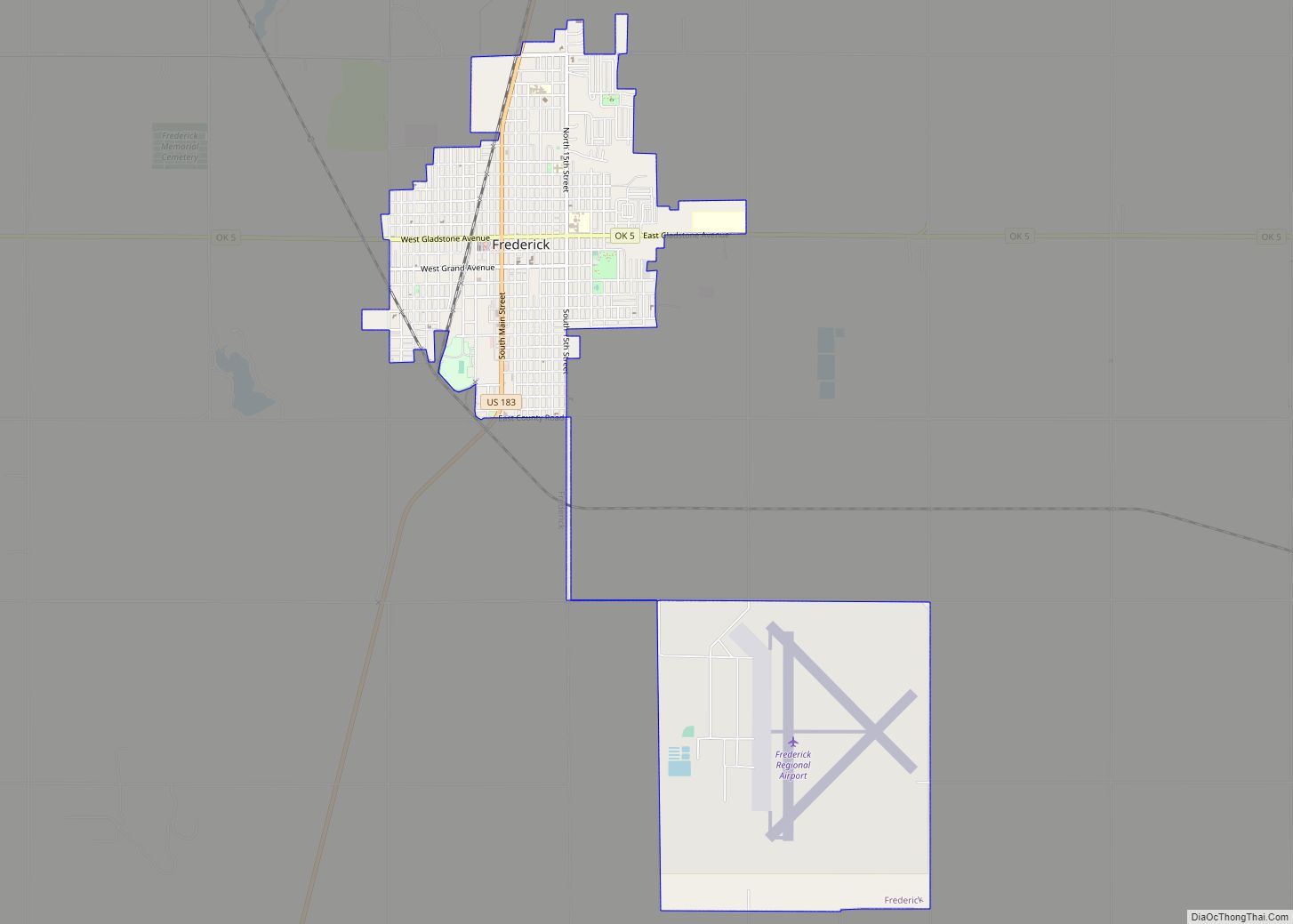
Hollister city Satellite Map
Geography
Hollister is located at 34°20′34″N 98°52′19″W / 34.34278°N 98.87194°W / 34.34278; -98.87194 (34.342767, -98.872006).
According to the United States Census Bureau, the town has a total area of 0.2 square miles (0.52 km), all land.
Climate
See also
Map of Oklahoma State and its subdivision:- Adair
- Alfalfa
- Atoka
- Beaver
- Beckham
- Blaine
- Bryan
- Caddo
- Canadian
- Carter
- Cherokee
- Choctaw
- Cimarron
- Cleveland
- Coal
- Comanche
- Cotton
- Craig
- Creek
- Custer
- Delaware
- Dewey
- Ellis
- Garfield
- Garvin
- Grady
- Grant
- Greer
- Harmon
- Harper
- Haskell
- Hughes
- Jackson
- Jefferson
- Johnston
- Kay
- Kingfisher
- Kiowa
- Latimer
- Le Flore
- Lincoln
- Logan
- Love
- Major
- Marshall
- Mayes
- McClain
- McCurtain
- McIntosh
- Murray
- Muskogee
- Noble
- Nowata
- Okfuskee
- Oklahoma
- Okmulgee
- Osage
- Ottawa
- Pawnee
- Payne
- Pittsburg
- Pontotoc
- Pottawatomie
- Pushmataha
- Roger Mills
- Rogers
- Seminole
- Sequoyah
- Stephens
- Texas
- Tillman
- Tulsa
- Wagoner
- Washington
- Washita
- Woods
- Woodward
- Alabama
- Alaska
- Arizona
- Arkansas
- California
- Colorado
- Connecticut
- Delaware
- District of Columbia
- Florida
- Georgia
- Hawaii
- Idaho
- Illinois
- Indiana
- Iowa
- Kansas
- Kentucky
- Louisiana
- Maine
- Maryland
- Massachusetts
- Michigan
- Minnesota
- Mississippi
- Missouri
- Montana
- Nebraska
- Nevada
- New Hampshire
- New Jersey
- New Mexico
- New York
- North Carolina
- North Dakota
- Ohio
- Oklahoma
- Oregon
- Pennsylvania
- Rhode Island
- South Carolina
- South Dakota
- Tennessee
- Texas
- Utah
- Vermont
- Virginia
- Washington
- West Virginia
- Wisconsin
- Wyoming