Hulbert is a town in Cherokee County, Oklahoma, United States, named after Ben H. Hulbert, a prominent Cherokee man. The population was 483 at the 2020 census, previously it was 590 in 2010. Our Lady of the Annunciation of Clear Creek Monastery is a Benedictine monastery located in Hulbert. The Clear Creek Monastery, recently elevated to the status of an abbey, is a foundation abbey of France’s Notre Dame de Fontgombault, which is itself a foundation abbey of Saint Pierre de Solesmes, also in France.
| Name: | Hulbert town |
|---|---|
| LSAD Code: | 43 |
| LSAD Description: | town (suffix) |
| State: | Oklahoma |
| County: | Cherokee County |
| Elevation: | 627 ft (191 m) |
| Total Area: | 1.12 sq mi (2.90 km²) |
| Land Area: | 1.12 sq mi (2.90 km²) |
| Water Area: | 0.00 sq mi (0.00 km²) |
| Population Density: | 431.64/sq mi (166.59/km²) |
| ZIP code: | 74441 |
| Area code: | 539/918 |
| FIPS code: | 4036400 |
| GNISfeature ID: | 1094010 |
| Website: | townofhulbertok.gov |
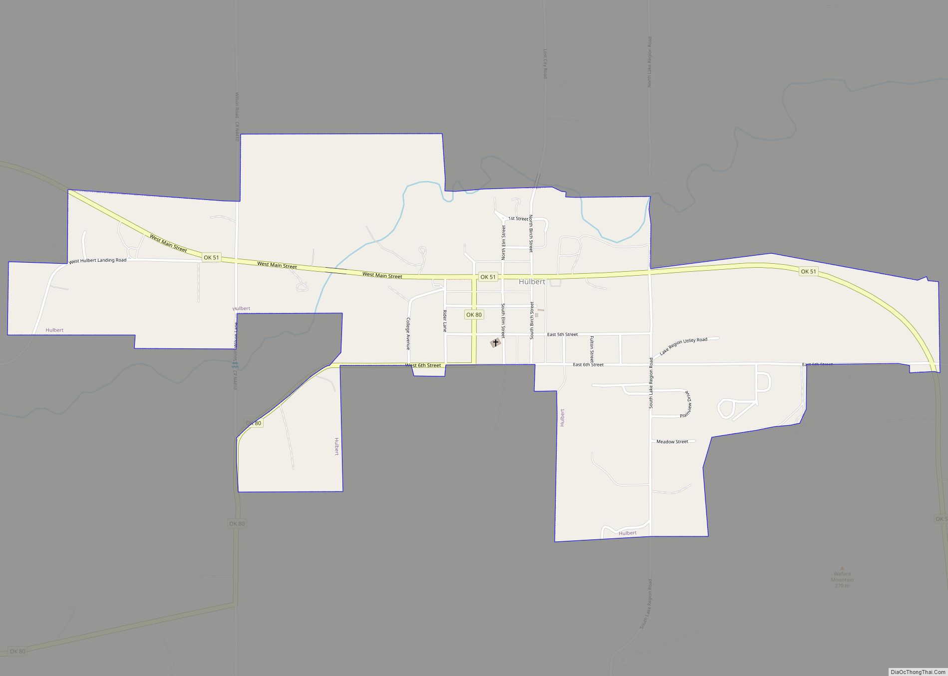
Online Interactive Map
Click on ![]() to view map in "full screen" mode.
to view map in "full screen" mode.
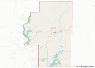
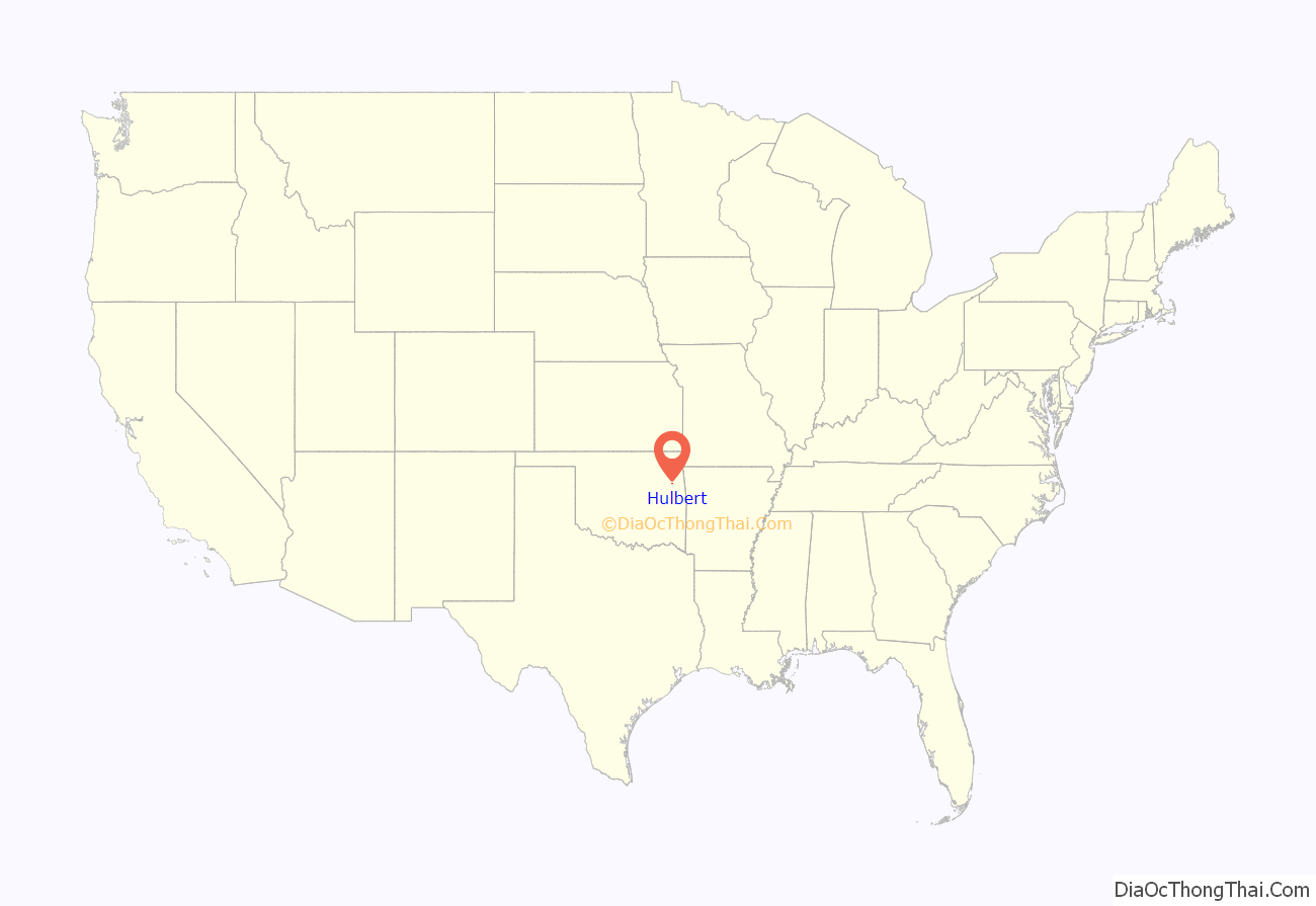
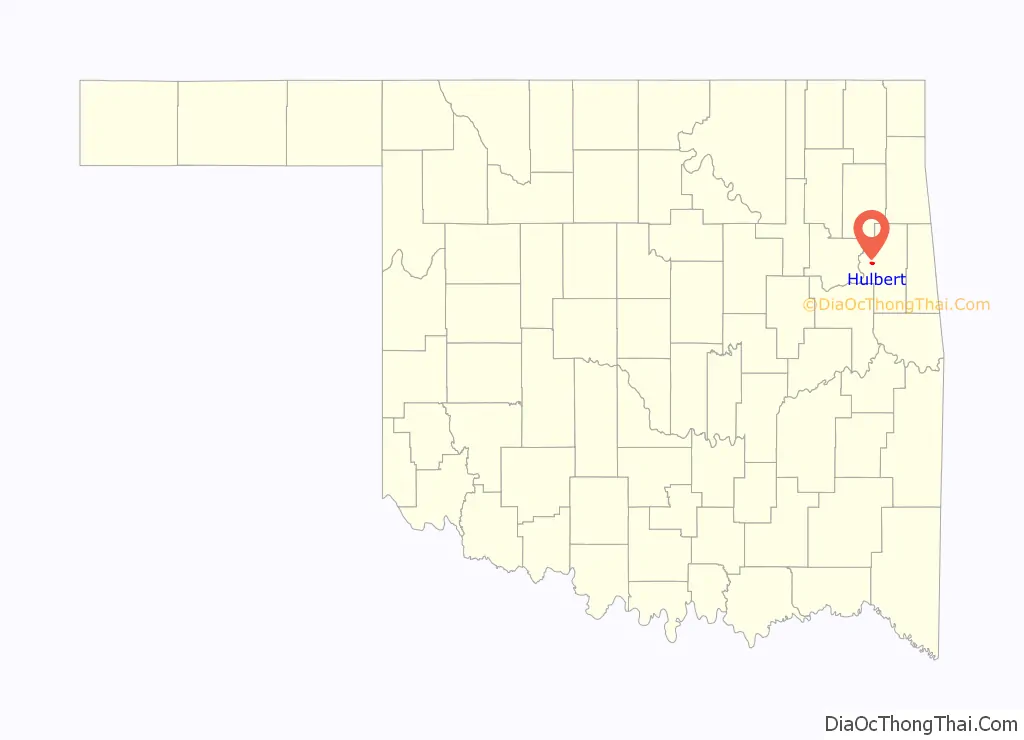
Hulbert location map. Where is Hulbert town?
History
The Hulbert Store and Grist Mill was built in 1890 were built between the towns of Wagoner and Tahlequah in 1890. According to local legend, a white trapper from Kentucky named Benjamin Hulbert married a Cherokee woman and built a store on her allotted land. A settlement formed around it. The community moved to its present location after the turn of the 20th Century to be closer to the nearest railroad. A post office opened there May 4, 1903. The town of Hulbert incorporated on January 18, 1965. It became a city in 1996.
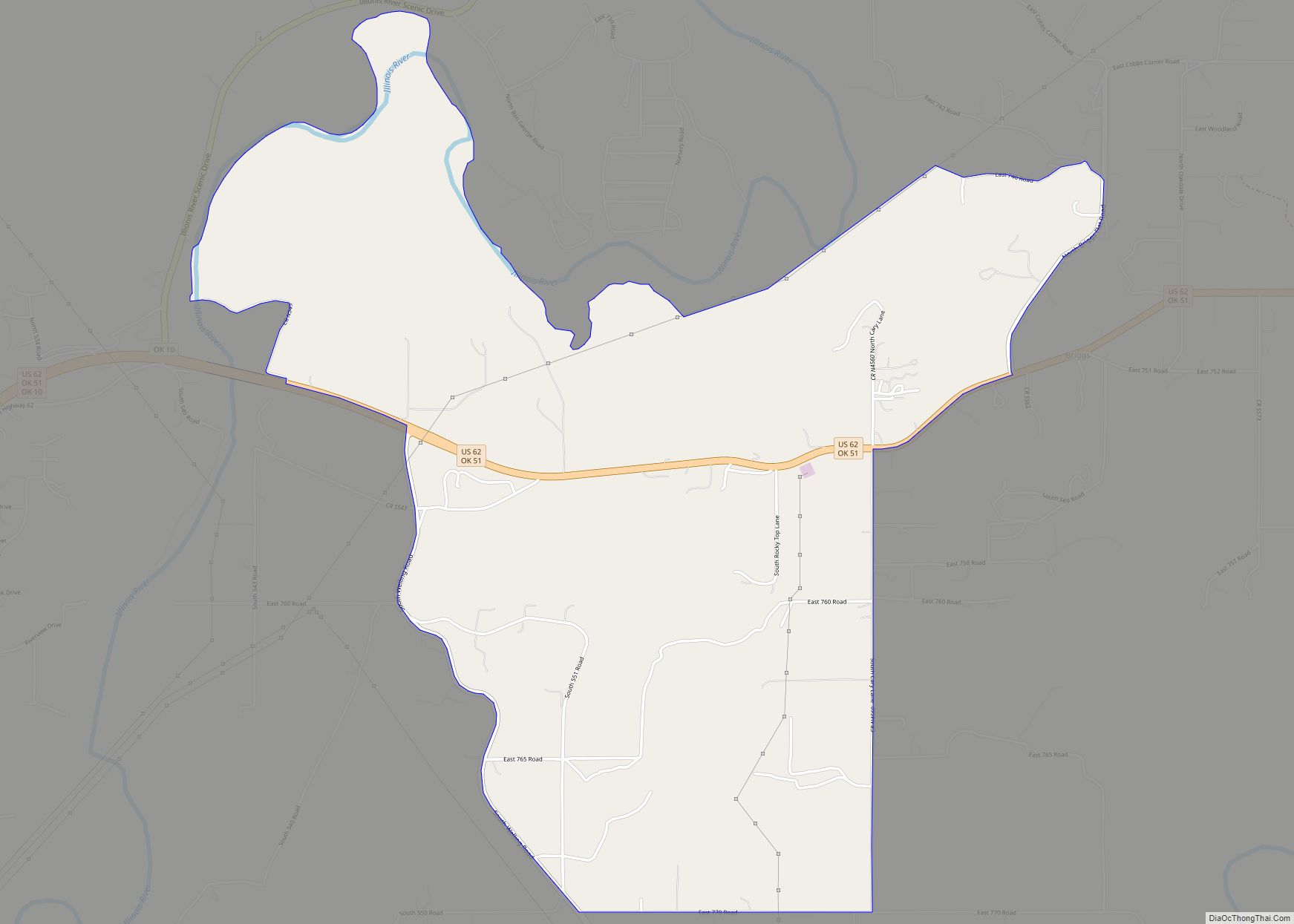
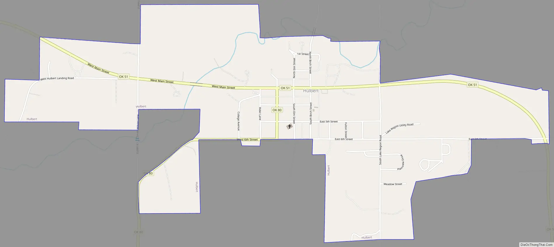
Hulbert Road Map
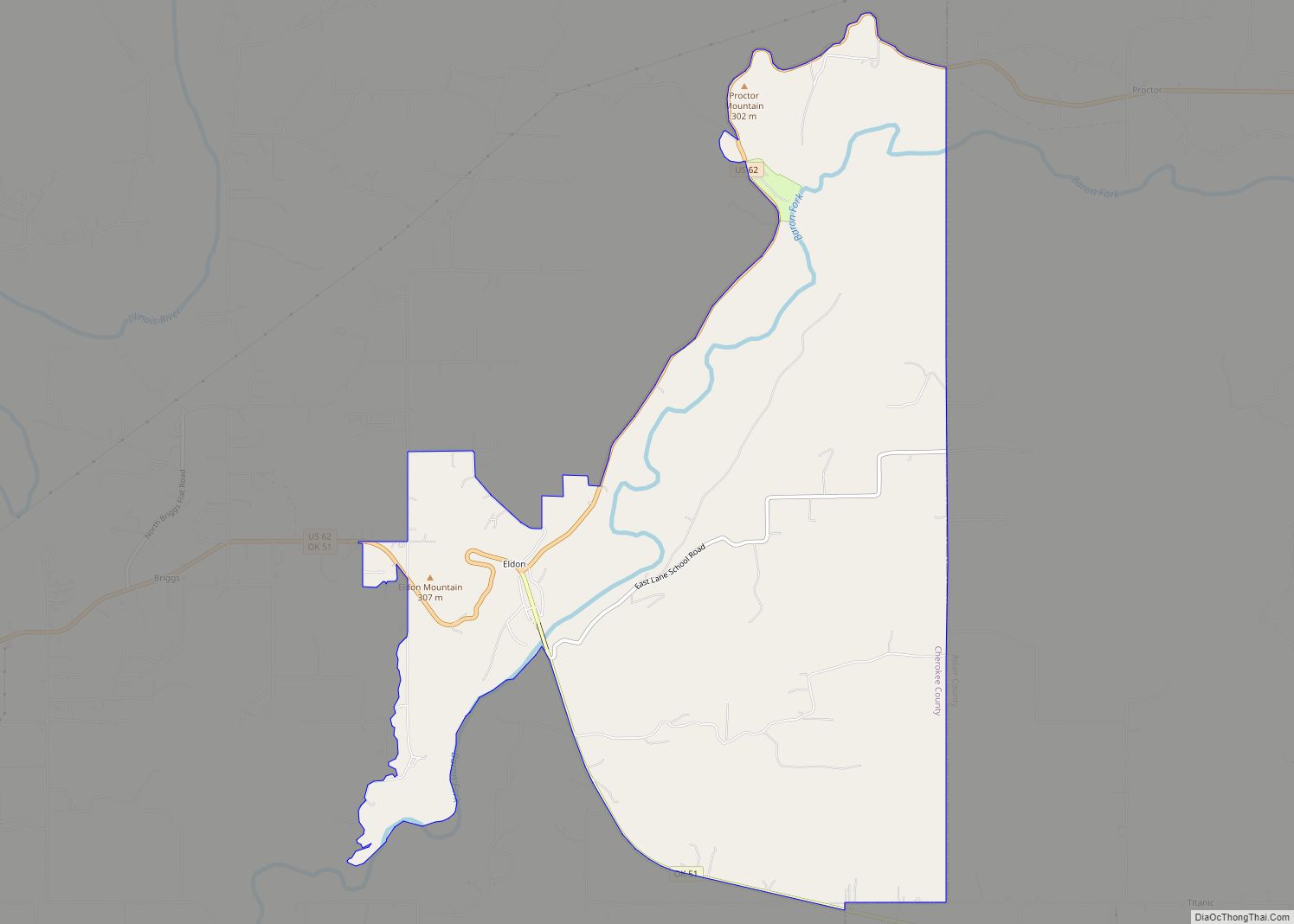
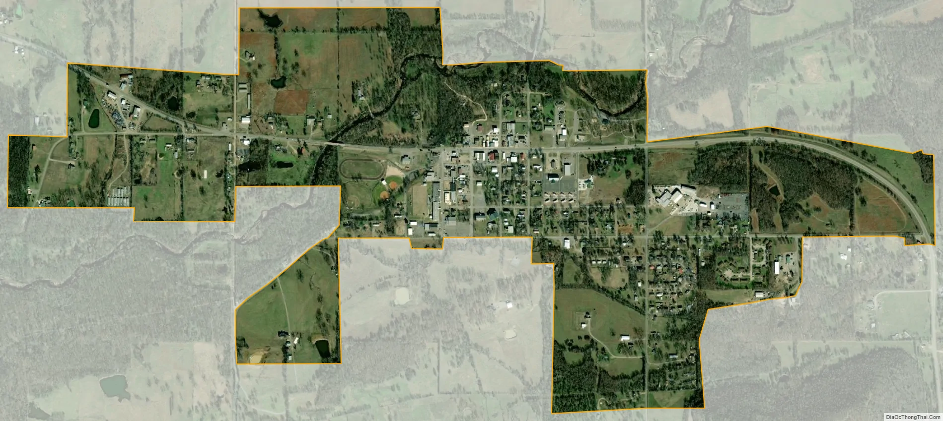
Hulbert city Satellite Map
Geography
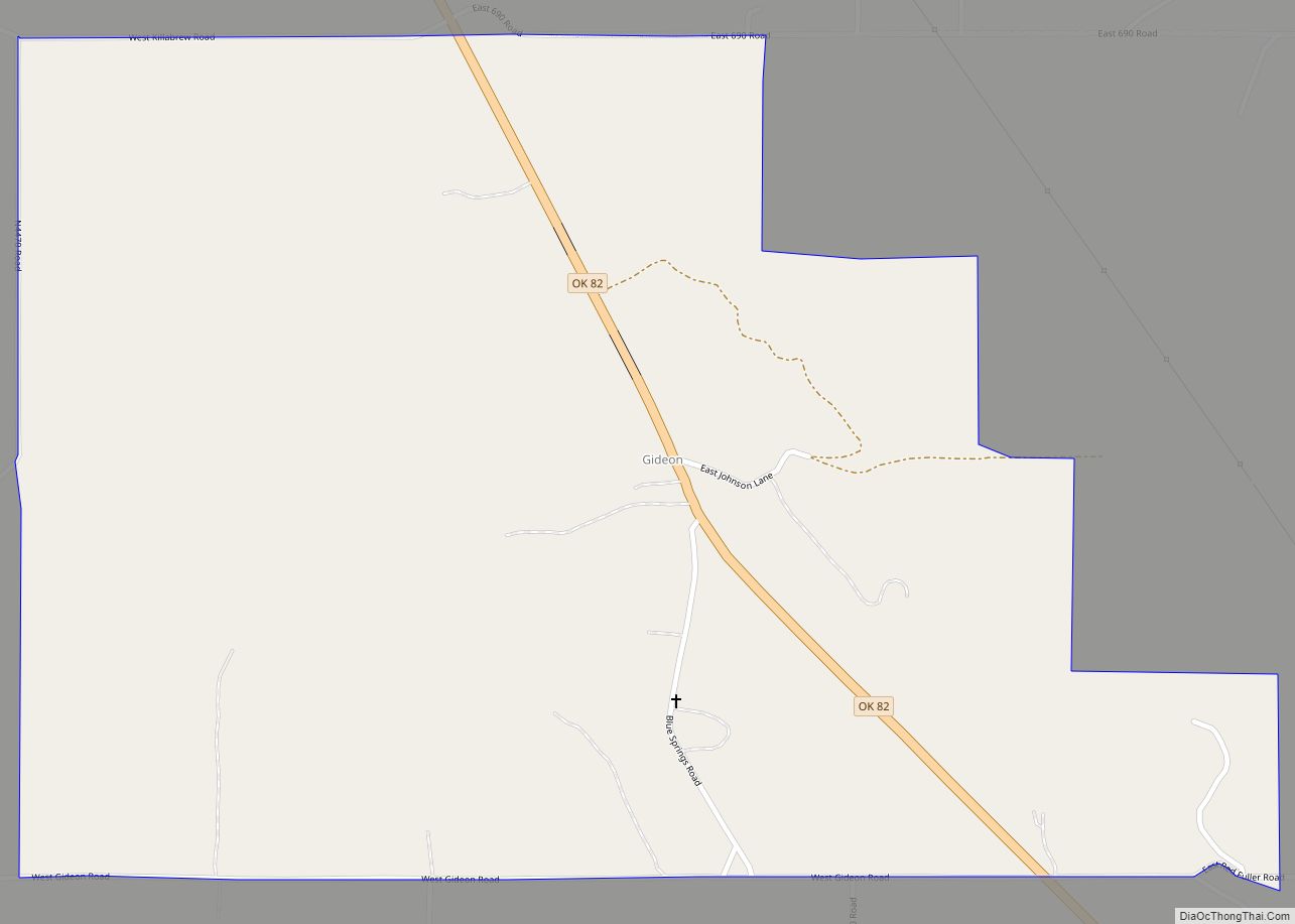
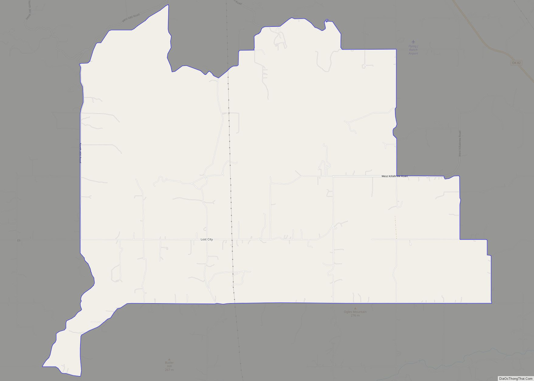
Hulbert is located in western Cherokee County at 35°55′54″N 95°8′34″W / 35.93167°N 95.14278°W / 35.93167; -95.14278 (35.931562, -95.142642). Oklahoma State Highway 51 passes through the town, leading east 10 miles (16 km) to Tahlequah, the county seat, and west 14 miles (23 km) to Wagoner. Fort Gibson Lake on the Neosho River is 7 miles (11 km) to the west on Highway 51.
According to the United States Census Bureau, the town has a total area of 1.0 square mile (2.7 km), all land.
See also
Map of Oklahoma State and its subdivision:- Adair
- Alfalfa
- Atoka
- Beaver
- Beckham
- Blaine
- Bryan
- Caddo
- Canadian
- Carter
- Cherokee
- Choctaw
- Cimarron
- Cleveland
- Coal
- Comanche
- Cotton
- Craig
- Creek
- Custer
- Delaware
- Dewey
- Ellis
- Garfield
- Garvin
- Grady
- Grant
- Greer
- Harmon
- Harper
- Haskell
- Hughes
- Jackson
- Jefferson
- Johnston
- Kay
- Kingfisher
- Kiowa
- Latimer
- Le Flore
- Lincoln
- Logan
- Love
- Major
- Marshall
- Mayes
- McClain
- McCurtain
- McIntosh
- Murray
- Muskogee
- Noble
- Nowata
- Okfuskee
- Oklahoma
- Okmulgee
- Osage
- Ottawa
- Pawnee
- Payne
- Pittsburg
- Pontotoc
- Pottawatomie
- Pushmataha
- Roger Mills
- Rogers
- Seminole
- Sequoyah
- Stephens
- Texas
- Tillman
- Tulsa
- Wagoner
- Washington
- Washita
- Woods
- Woodward
- Alabama
- Alaska
- Arizona
- Arkansas
- California
- Colorado
- Connecticut
- Delaware
- District of Columbia
- Florida
- Georgia
- Hawaii
- Idaho
- Illinois
- Indiana
- Iowa
- Kansas
- Kentucky
- Louisiana
- Maine
- Maryland
- Massachusetts
- Michigan
- Minnesota
- Mississippi
- Missouri
- Montana
- Nebraska
- Nevada
- New Hampshire
- New Jersey
- New Mexico
- New York
- North Carolina
- North Dakota
- Ohio
- Oklahoma
- Oregon
- Pennsylvania
- Rhode Island
- South Carolina
- South Dakota
- Tennessee
- Texas
- Utah
- Vermont
- Virginia
- Washington
- West Virginia
- Wisconsin
- Wyoming