Hydro is a town in Caddo and Blaine counties in the U.S. state of Oklahoma. As of the 2010 census, the town population was 969.
| Name: | Hydro town |
|---|---|
| LSAD Code: | 43 |
| LSAD Description: | town (suffix) |
| State: | Oklahoma |
| County: | Blaine County, Caddo County |
| Elevation: | 1,526 ft (465 m) |
| Total Area: | 0.70 sq mi (1.80 km²) |
| Land Area: | 0.70 sq mi (1.80 km²) |
| Water Area: | 0.00 sq mi (0.00 km²) |
| Total Population: | 927 |
| Population Density: | 1,329.99/sq mi (513.58/km²) |
| ZIP code: | 73048 |
| Area code: | 405/572 |
| FIPS code: | 4036700 |
| GNISfeature ID: | 2412785 |
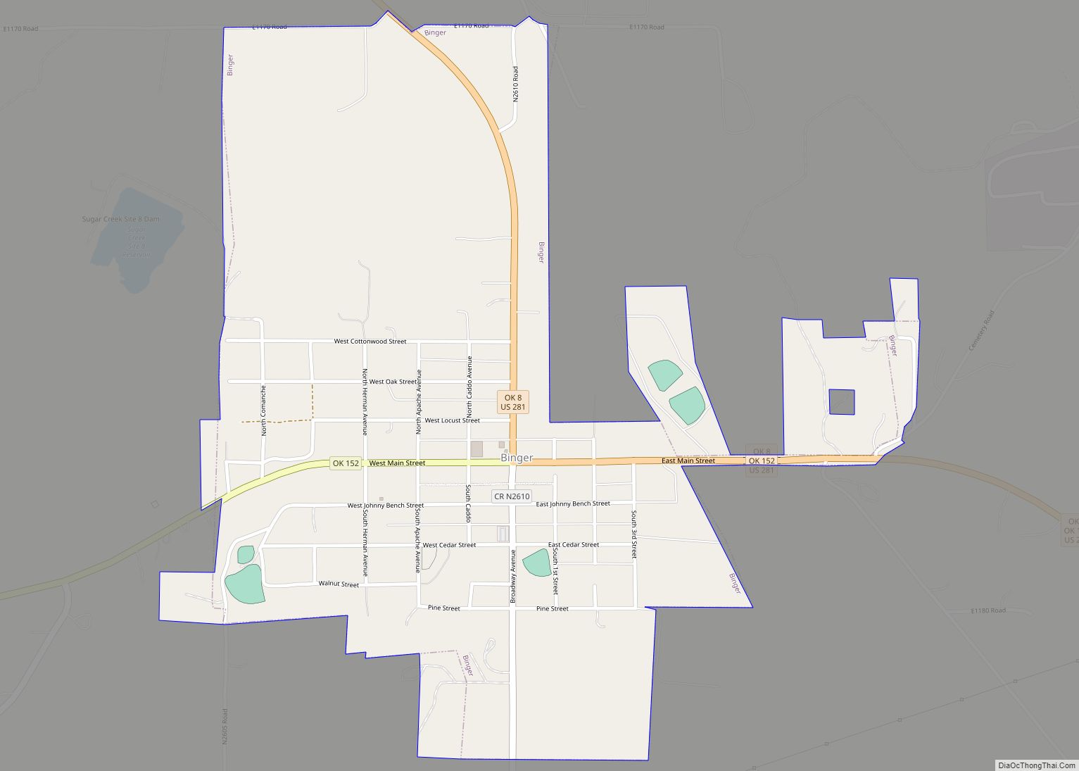
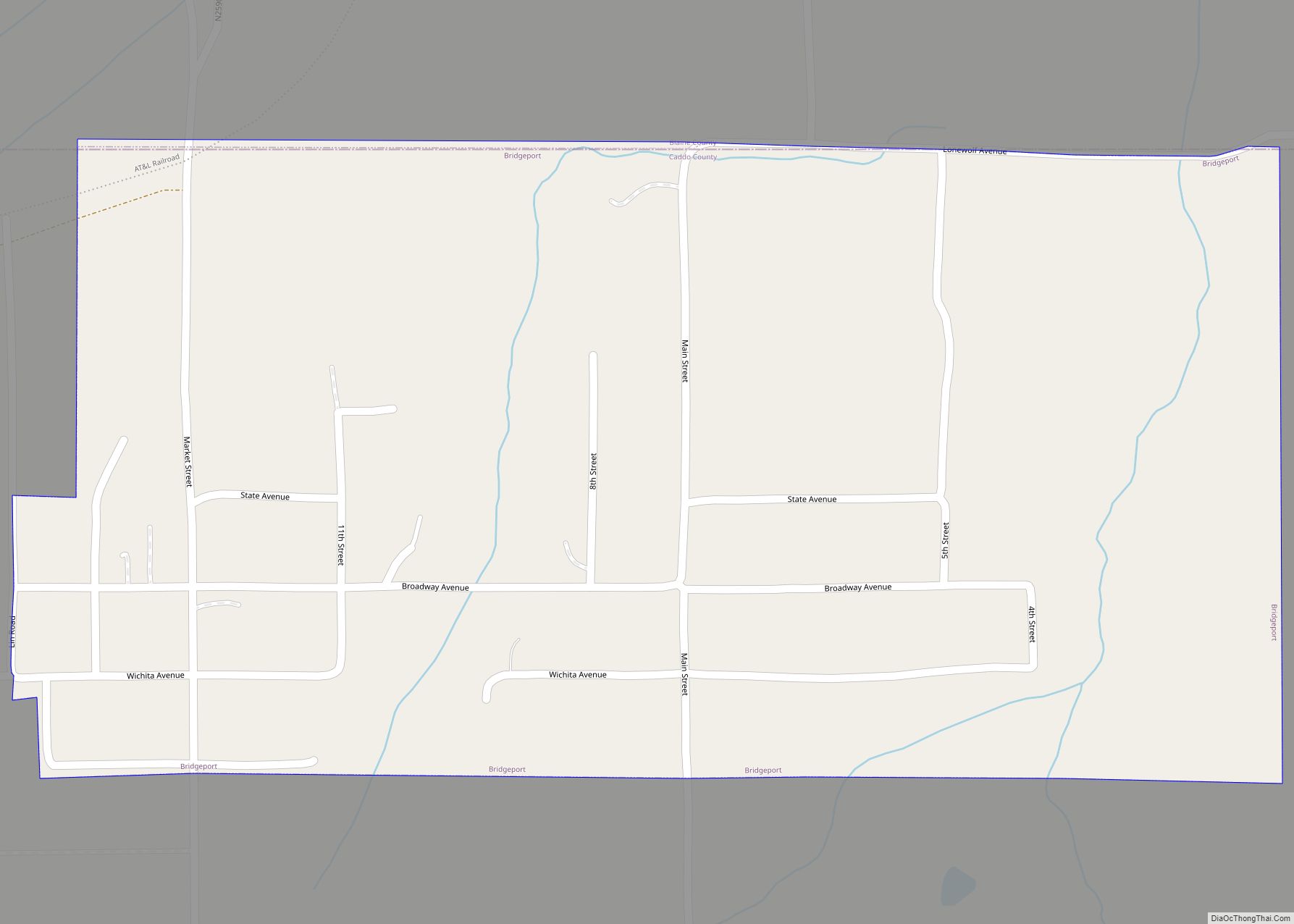
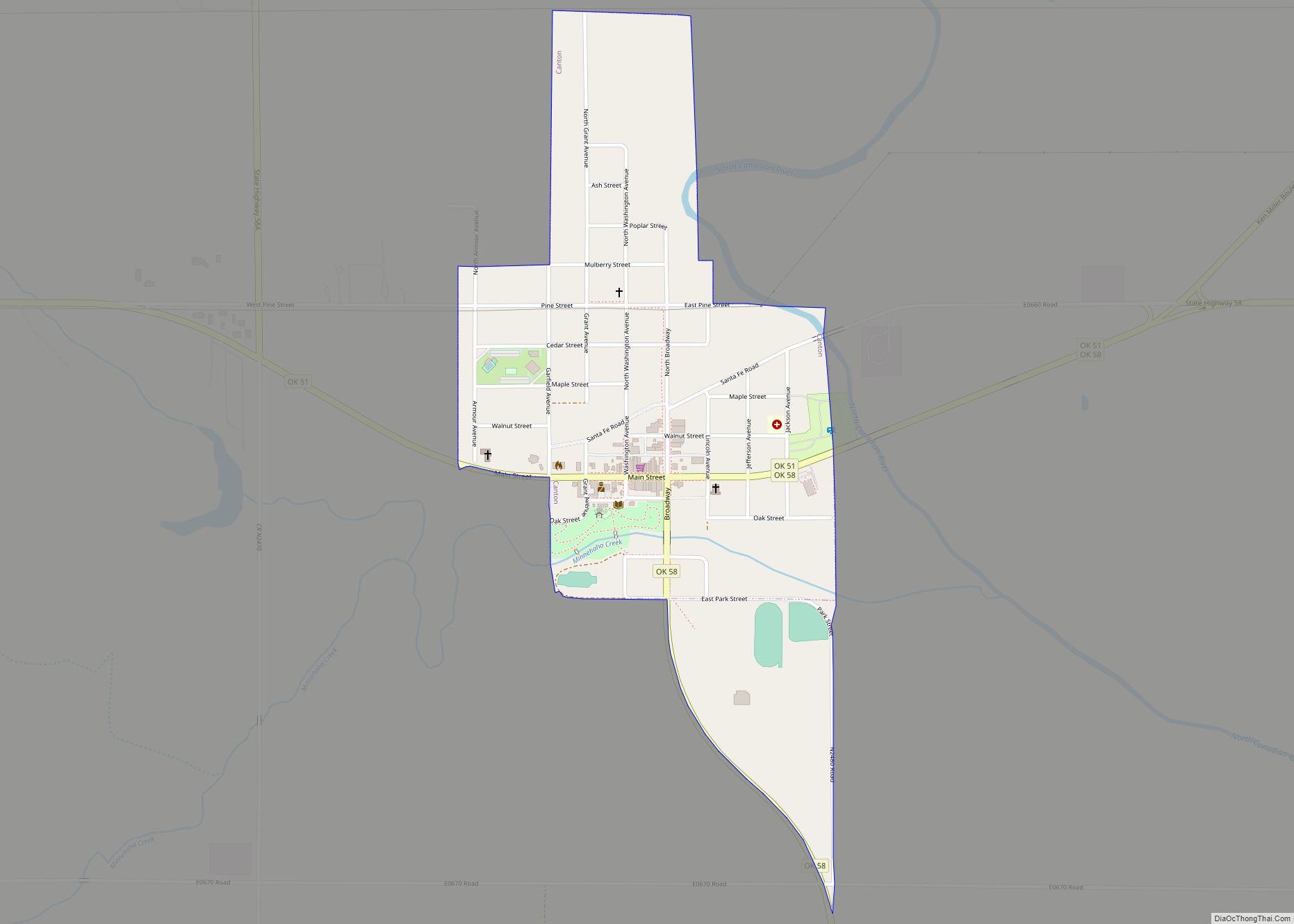
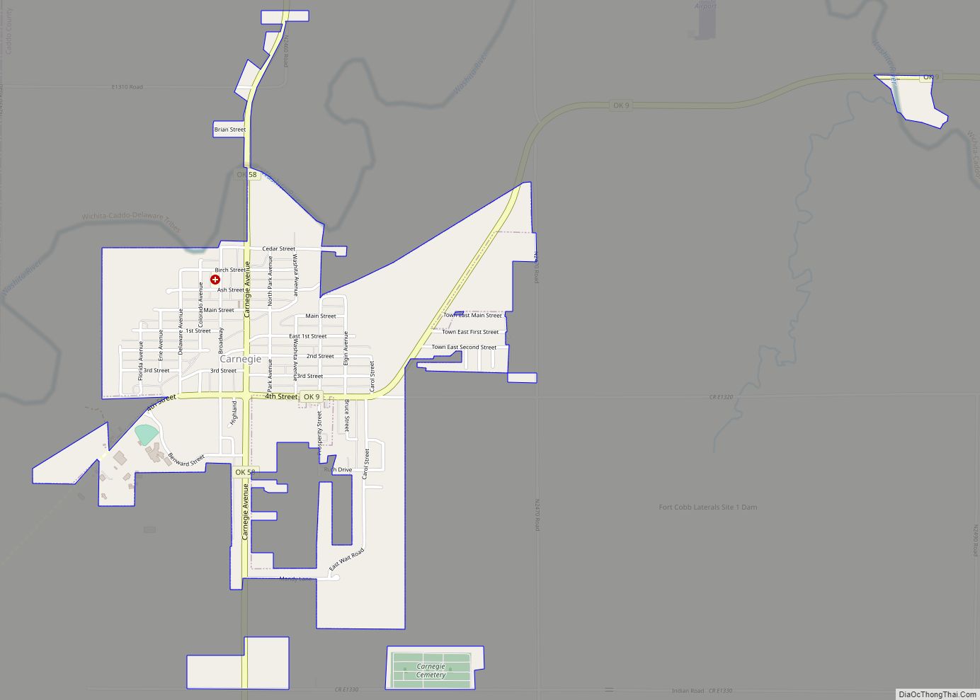
Online Interactive Map
Click on ![]() to view map in "full screen" mode.
to view map in "full screen" mode.
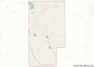
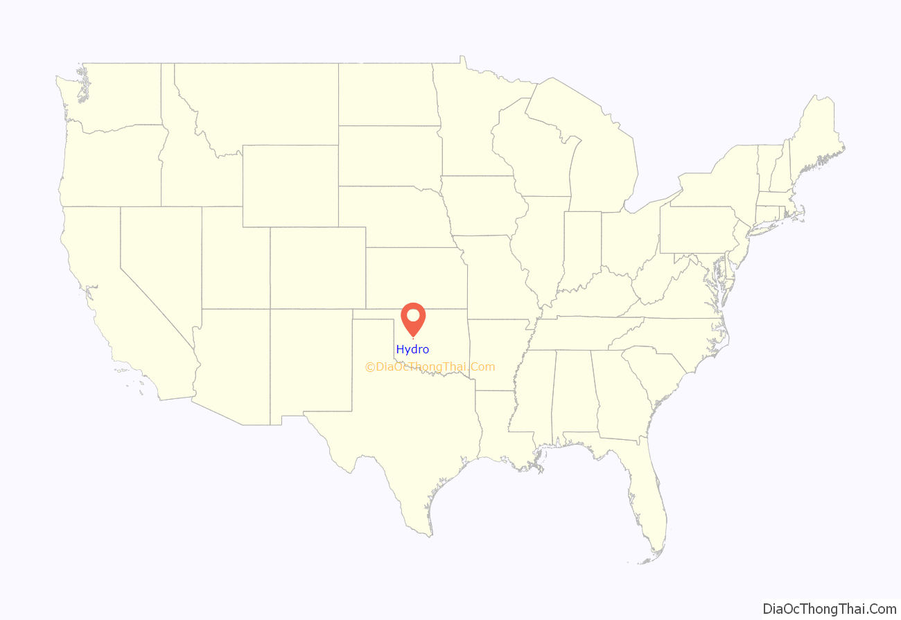
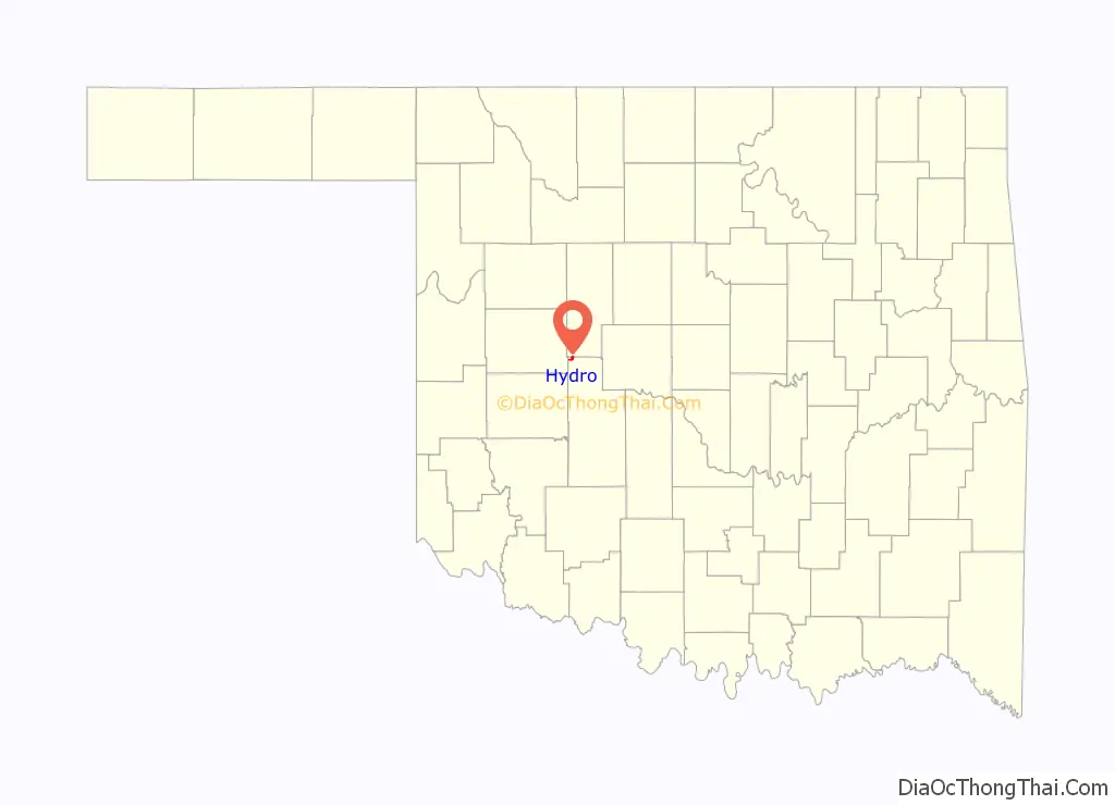
Hydro location map. Where is Hydro town?
History
The town was founded on August 6, 1901. Built near the Choctaw, Oklahoma and Gulf Railroad, the settlement was originally called “Caddo”, but when the post office was established in September 1901, the name was changed to “Hydro” in reference to the town’s plentiful well water.
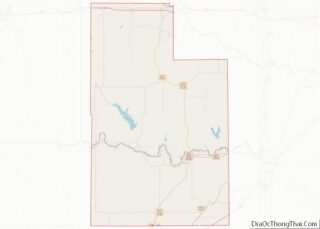
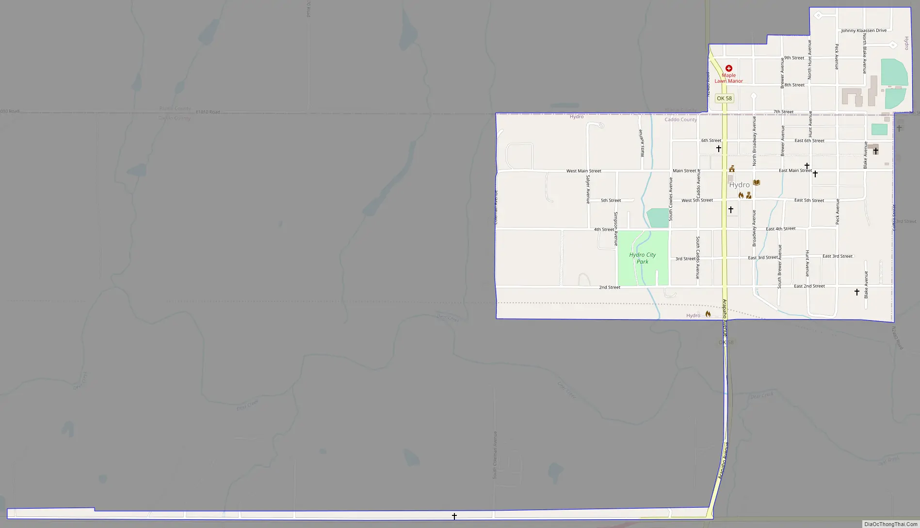
Hydro Road Map
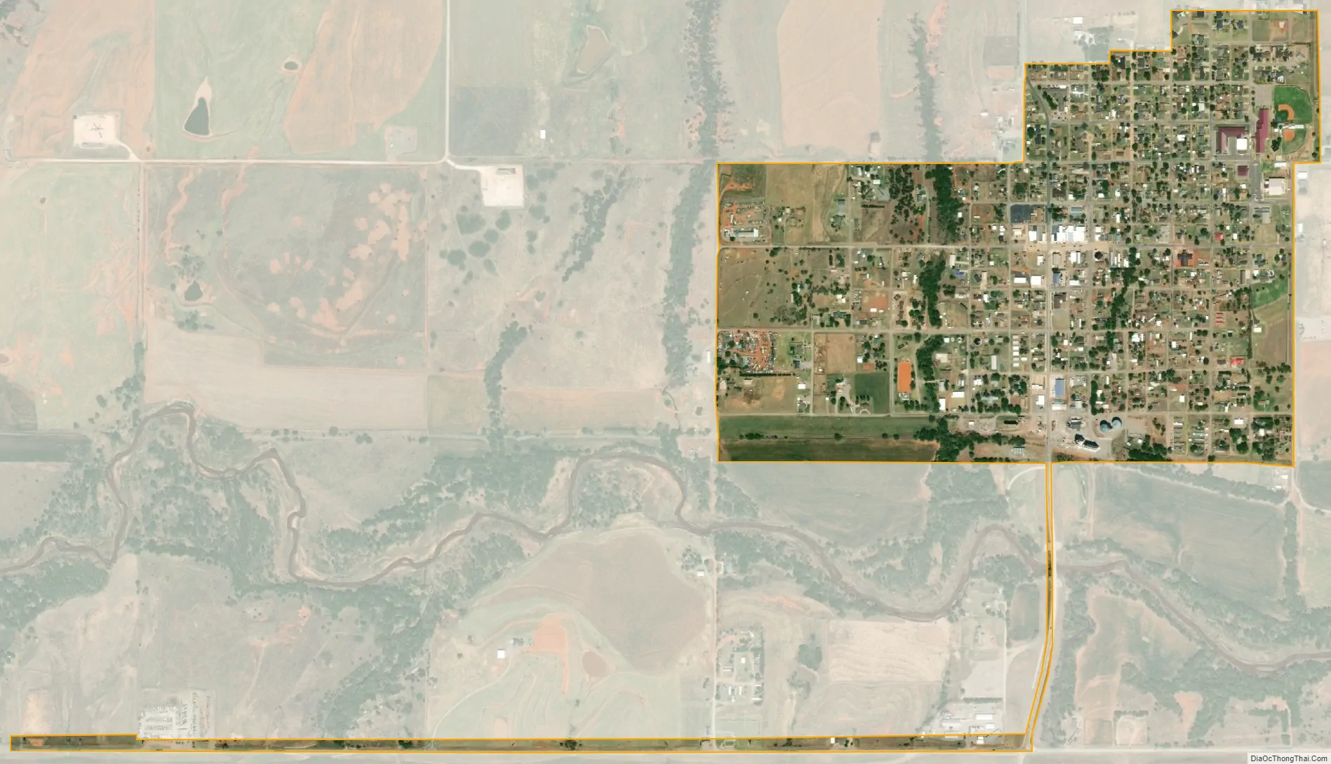
Hydro city Satellite Map
Geography
Hydro is located near the northwestern corner of Caddo County at an elevation of 1,557 feet (475 m). A small part of the town extends north into Blaine County.
The town is located 0.5 miles (0.80 km) north of Interstate 40, with access from Exit 88. I-40 leads west 7 miles (11 km) to Weatherford and east 61 miles (98 km) to downtown Oklahoma City.
According to the United States Census Bureau, Hydro has a total area of 0.66 square miles (1.7 km), all land.
See also
Map of Oklahoma State and its subdivision:- Adair
- Alfalfa
- Atoka
- Beaver
- Beckham
- Blaine
- Bryan
- Caddo
- Canadian
- Carter
- Cherokee
- Choctaw
- Cimarron
- Cleveland
- Coal
- Comanche
- Cotton
- Craig
- Creek
- Custer
- Delaware
- Dewey
- Ellis
- Garfield
- Garvin
- Grady
- Grant
- Greer
- Harmon
- Harper
- Haskell
- Hughes
- Jackson
- Jefferson
- Johnston
- Kay
- Kingfisher
- Kiowa
- Latimer
- Le Flore
- Lincoln
- Logan
- Love
- Major
- Marshall
- Mayes
- McClain
- McCurtain
- McIntosh
- Murray
- Muskogee
- Noble
- Nowata
- Okfuskee
- Oklahoma
- Okmulgee
- Osage
- Ottawa
- Pawnee
- Payne
- Pittsburg
- Pontotoc
- Pottawatomie
- Pushmataha
- Roger Mills
- Rogers
- Seminole
- Sequoyah
- Stephens
- Texas
- Tillman
- Tulsa
- Wagoner
- Washington
- Washita
- Woods
- Woodward
- Alabama
- Alaska
- Arizona
- Arkansas
- California
- Colorado
- Connecticut
- Delaware
- District of Columbia
- Florida
- Georgia
- Hawaii
- Idaho
- Illinois
- Indiana
- Iowa
- Kansas
- Kentucky
- Louisiana
- Maine
- Maryland
- Massachusetts
- Michigan
- Minnesota
- Mississippi
- Missouri
- Montana
- Nebraska
- Nevada
- New Hampshire
- New Jersey
- New Mexico
- New York
- North Carolina
- North Dakota
- Ohio
- Oklahoma
- Oregon
- Pennsylvania
- Rhode Island
- South Carolina
- South Dakota
- Tennessee
- Texas
- Utah
- Vermont
- Virginia
- Washington
- West Virginia
- Wisconsin
- Wyoming