Weatherford is a city in Custer County, Oklahoma, United States. The population was 10,833 at the 2010 census.
| Name: | Weatherford city |
|---|---|
| LSAD Code: | 25 |
| LSAD Description: | city (suffix) |
| State: | Oklahoma |
| County: | Custer County |
| Elevation: | 1,634 ft (498 m) |
| Total Area: | 7.66 sq mi (19.84 km²) |
| Land Area: | 7.66 sq mi (19.83 km²) |
| Water Area: | 0.00 sq mi (0.00 km²) |
| Total Population: | 12,076 |
| Population Density: | 1,576.91/sq mi (608.87/km²) |
| ZIP code: | 73096 |
| Area code: | 580 |
| FIPS code: | 4079450 |
| GNISfeature ID: | 1099451 |
| Website: | www.cityofweatherford.com |
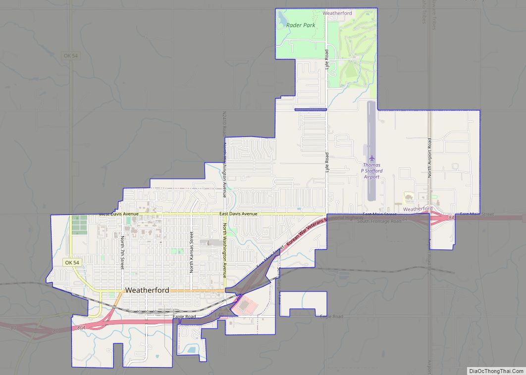
Online Interactive Map
Click on ![]() to view map in "full screen" mode.
to view map in "full screen" mode.
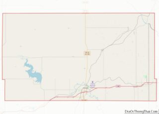
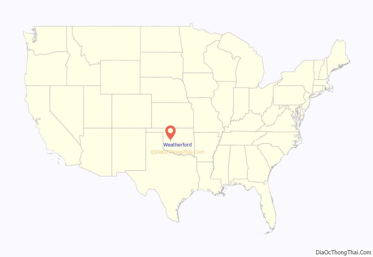
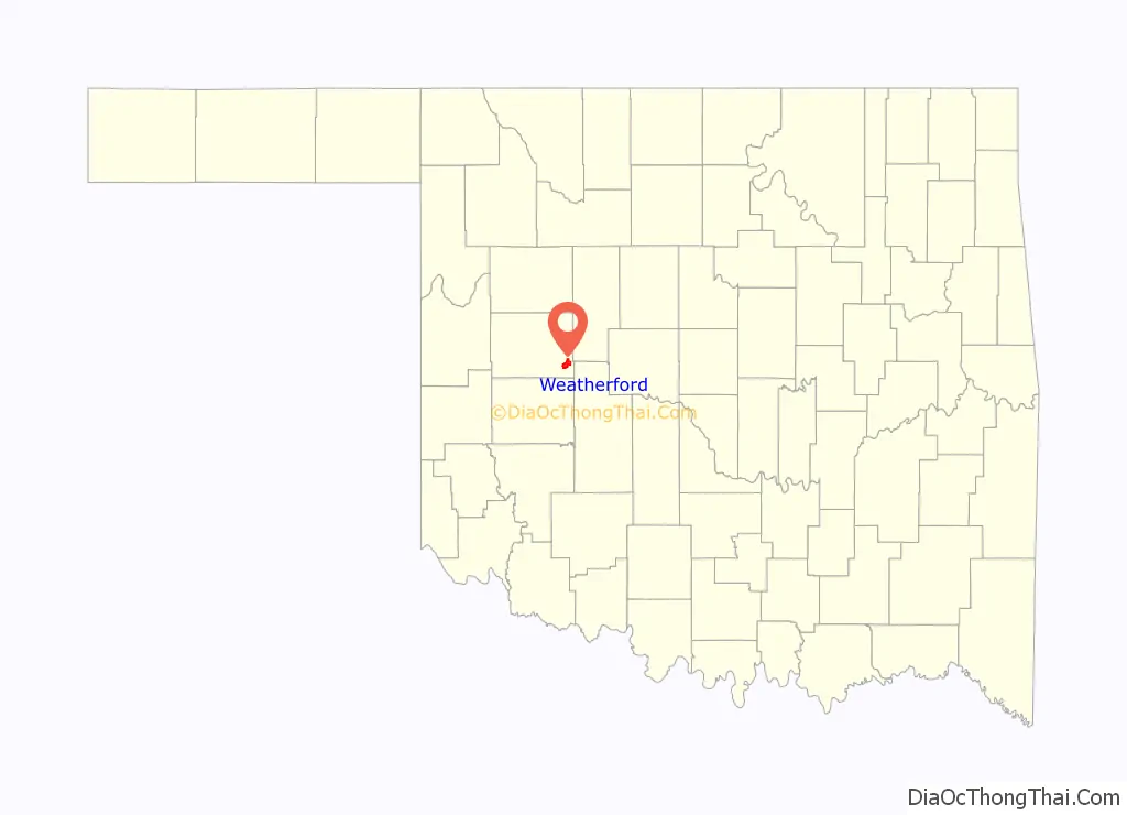
Weatherford location map. Where is Weatherford city?
History
Situated on land made available to homesteaders as part of the Cheyenne-Arapaho Opening on April 19, 1892, Weatherford was incorporated on August 3, 1898, on a townsite location chosen by banking and civic leader Beeks Erick. By 1900, the town’s population was 1,017. The town’s original post office was located approximately two miles north of town, on William John and Lorinda Powell Weatherford’s homestead. Lorinda Weatherford served as its postmaster and namesake. In its early years, farming and ranching provided the major economic base, with corn, cotton, and maize the major crops. Additionally, a brick plant, a cement plant, and a broom factory provided jobs as well as supplies for early residents.
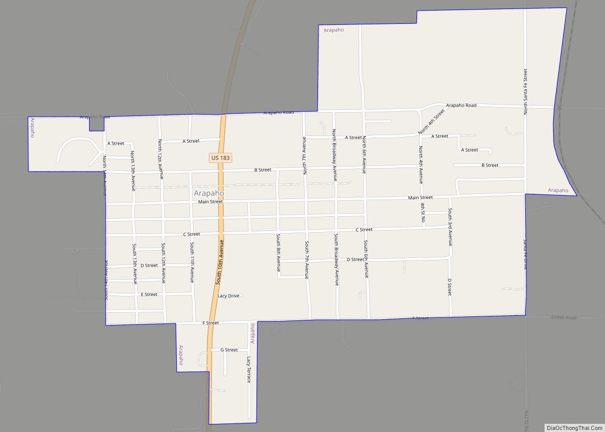
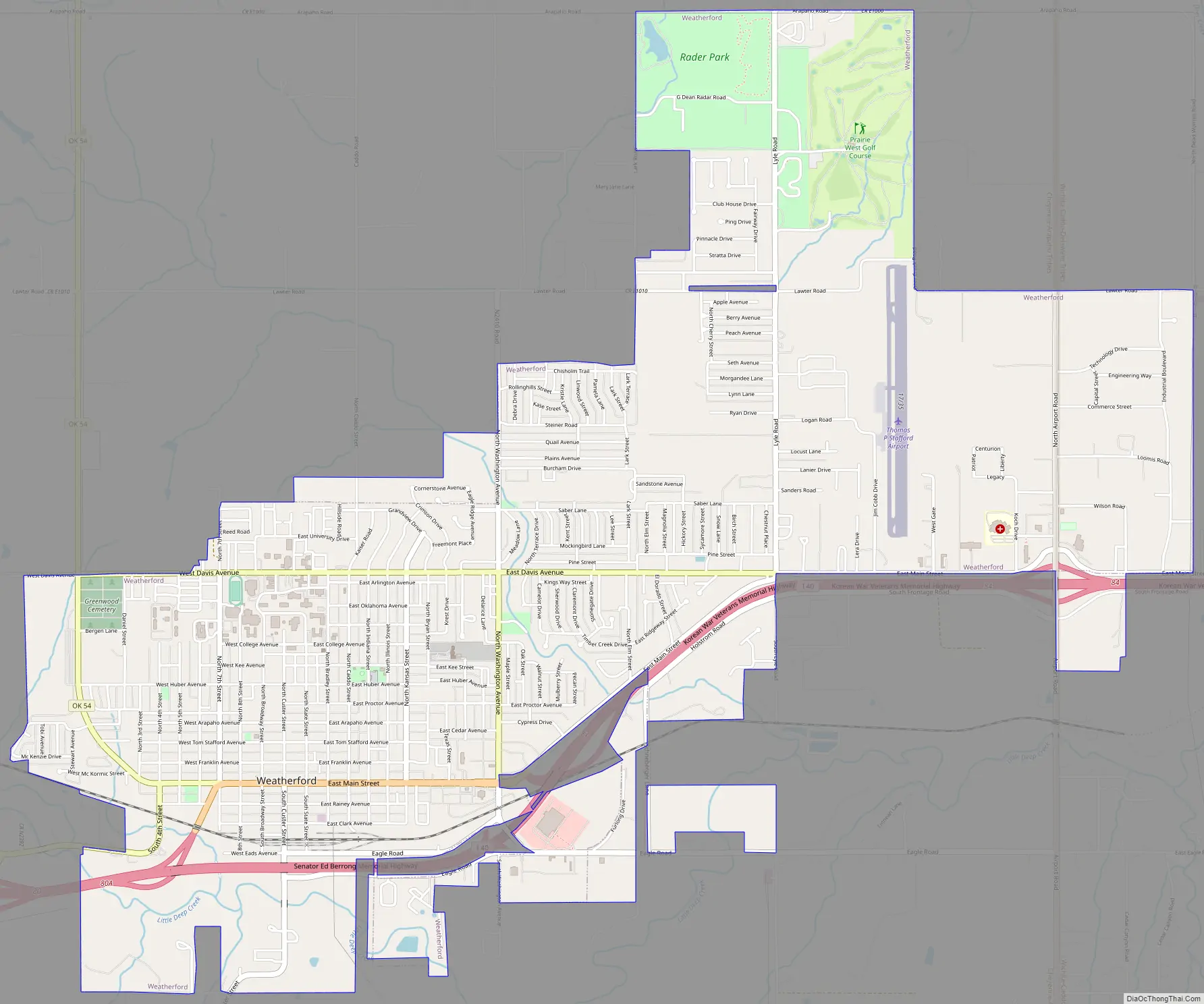
Weatherford Road Map
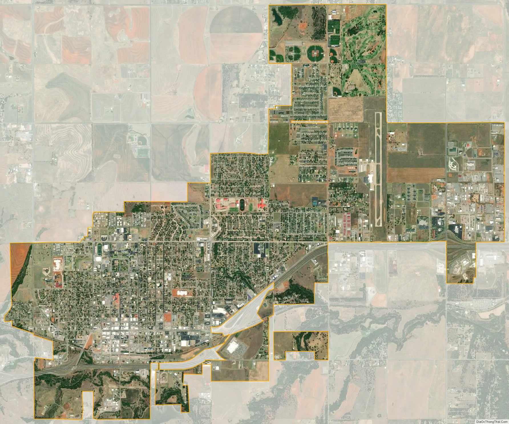
Weatherford city Satellite Map
Geography
Weatherford is located at 35°32′18″N 98°41′14″W / 35.53833°N 98.68722°W / 35.53833; -98.68722 (35.5384097, -98.6872467). The elevation is 1,634 feet (498 m). According to the United States Census Bureau, the city has a total area of 7.05 square miles (18.3 km), all land.
See also
Map of Oklahoma State and its subdivision:- Adair
- Alfalfa
- Atoka
- Beaver
- Beckham
- Blaine
- Bryan
- Caddo
- Canadian
- Carter
- Cherokee
- Choctaw
- Cimarron
- Cleveland
- Coal
- Comanche
- Cotton
- Craig
- Creek
- Custer
- Delaware
- Dewey
- Ellis
- Garfield
- Garvin
- Grady
- Grant
- Greer
- Harmon
- Harper
- Haskell
- Hughes
- Jackson
- Jefferson
- Johnston
- Kay
- Kingfisher
- Kiowa
- Latimer
- Le Flore
- Lincoln
- Logan
- Love
- Major
- Marshall
- Mayes
- McClain
- McCurtain
- McIntosh
- Murray
- Muskogee
- Noble
- Nowata
- Okfuskee
- Oklahoma
- Okmulgee
- Osage
- Ottawa
- Pawnee
- Payne
- Pittsburg
- Pontotoc
- Pottawatomie
- Pushmataha
- Roger Mills
- Rogers
- Seminole
- Sequoyah
- Stephens
- Texas
- Tillman
- Tulsa
- Wagoner
- Washington
- Washita
- Woods
- Woodward
- Alabama
- Alaska
- Arizona
- Arkansas
- California
- Colorado
- Connecticut
- Delaware
- District of Columbia
- Florida
- Georgia
- Hawaii
- Idaho
- Illinois
- Indiana
- Iowa
- Kansas
- Kentucky
- Louisiana
- Maine
- Maryland
- Massachusetts
- Michigan
- Minnesota
- Mississippi
- Missouri
- Montana
- Nebraska
- Nevada
- New Hampshire
- New Jersey
- New Mexico
- New York
- North Carolina
- North Dakota
- Ohio
- Oklahoma
- Oregon
- Pennsylvania
- Rhode Island
- South Carolina
- South Dakota
- Tennessee
- Texas
- Utah
- Vermont
- Virginia
- Washington
- West Virginia
- Wisconsin
- Wyoming