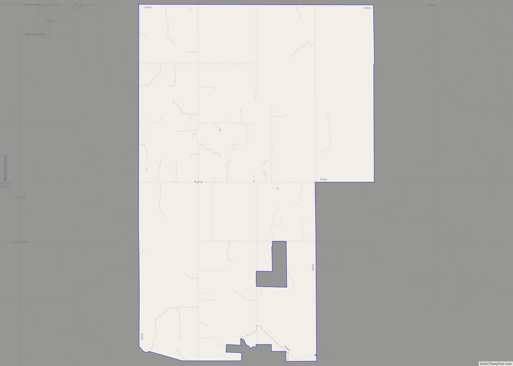
Katie is a town in Garvin County, Oklahoma, United States. The town is 69 miles (111 km) south of Oklahoma City. It was incorporated in 2004 and had a population of 348 at the 2010 census. On May 9, 2016, an EF4 tornado touched down in the southern part of Katie, and tracked to the east, causing one death and several injuries.
| Name: | Katie town |
|---|---|
| LSAD Code: | 43 |
| LSAD Description: | town (suffix) |
| State: | Oklahoma |
| County: | Garvin County |
| Elevation: | 975 ft (297 m) |
| Total Area: | 20.64 sq mi (53.46 km²) |
| Land Area: | 20.53 sq mi (53.18 km²) |
| Water Area: | 0.11 sq mi (0.28 km²) |
| Total Population: | 332 |
| Population Density: | 16.17/sq mi (6.24/km²) |
| Area code: | 580 |
| FIPS code: | 4038700 |
| GNISfeature ID: | 1094292 |
Online Interactive Map
Click on ![]() to view map in "full screen" mode.
to view map in "full screen" mode.
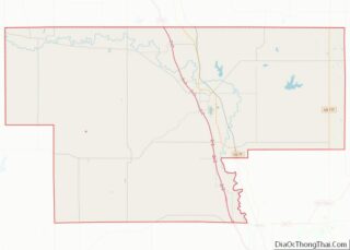
Katie location map. Where is Katie town?
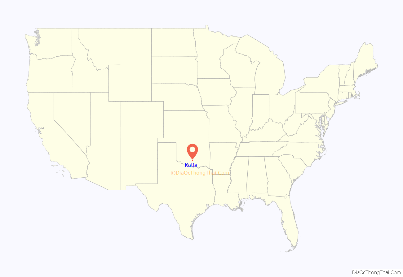
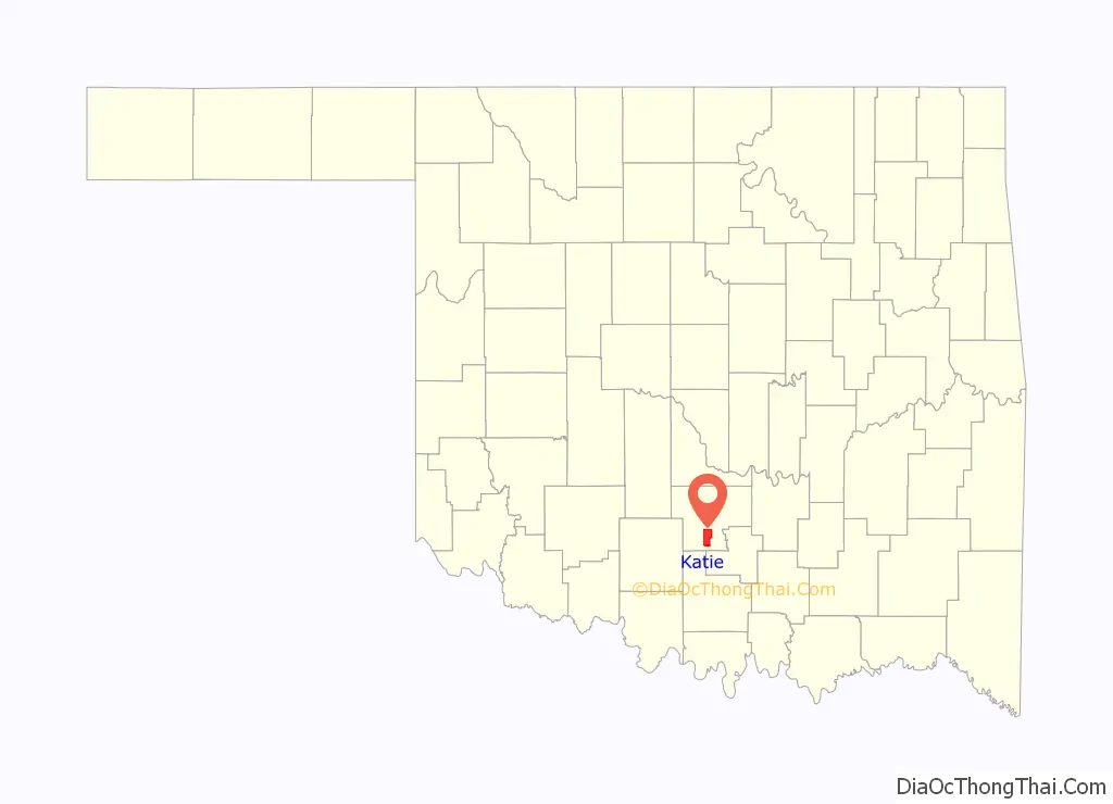
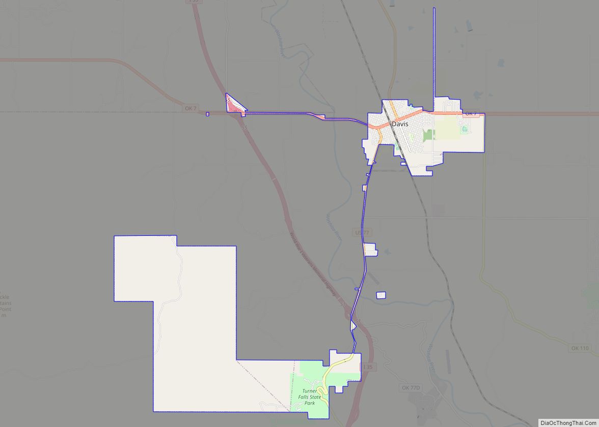
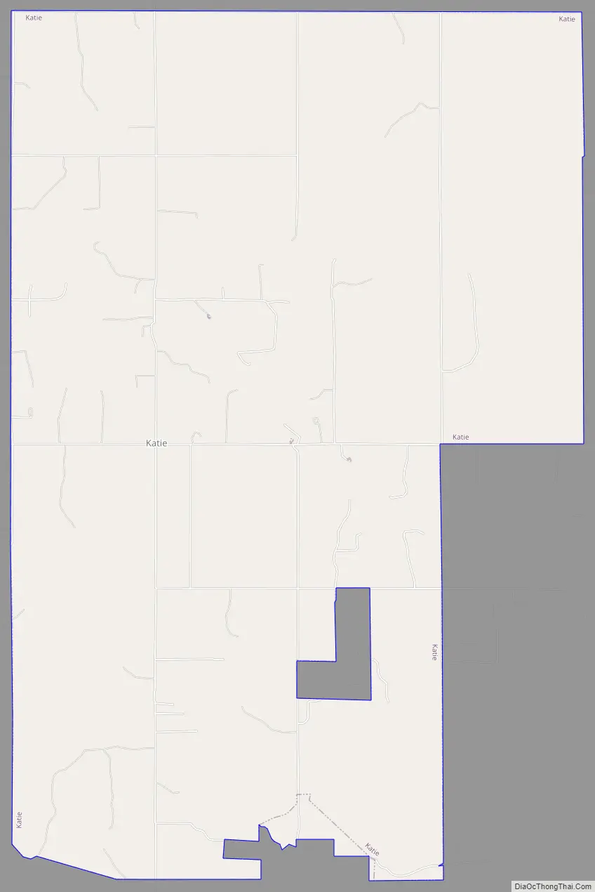
Katie Road Map
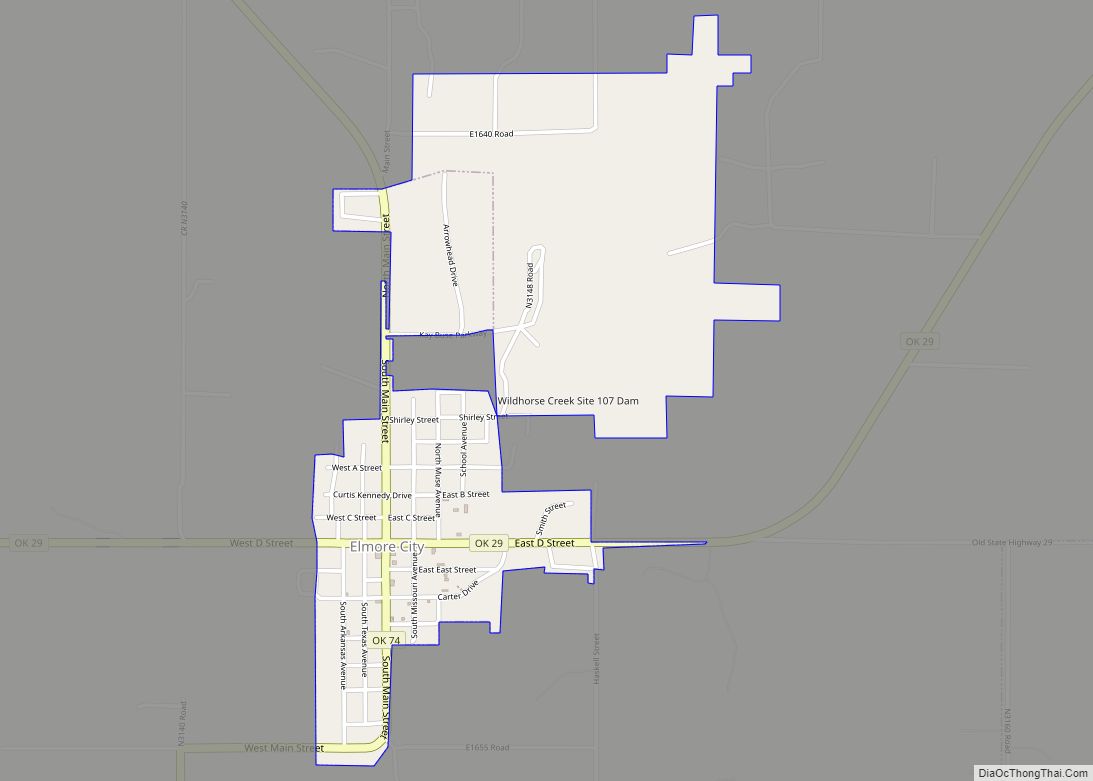
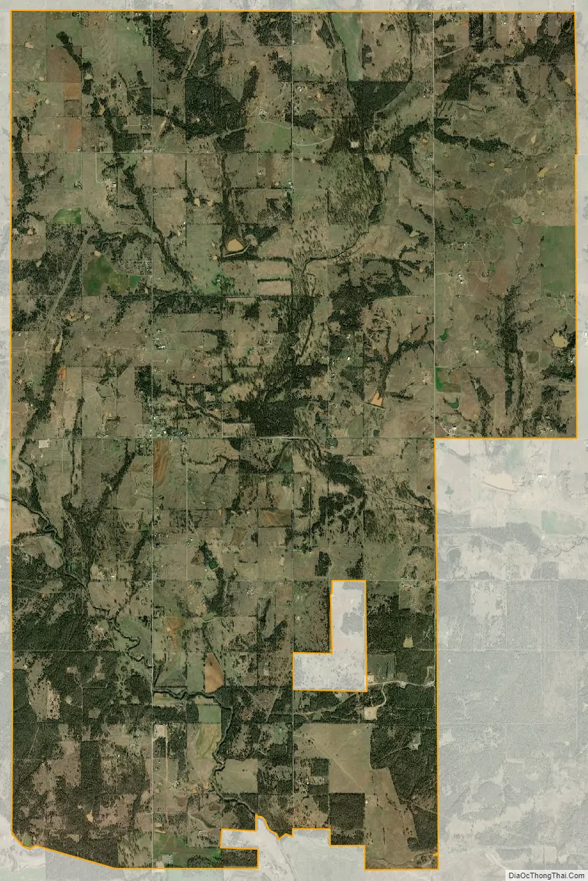
Katie city Satellite Map
Geography
Katie is located in southern Garvin County, 5 miles (8 km) southeast of Elmore City and 15 miles (24 km) southwest of Wynnewood. It is 17 miles (27 km) southwest of Pauls Valley, the county seat. According to the U.S. Census Bureau, the town has a total area of 20.3 square miles (52.7 km), of which 20.2 sq mi (52.4 km) are land and 0.1 sq mi (0.3 km), or 0.52%, is water.
See also
Map of Oklahoma State and its subdivision:- Adair
- Alfalfa
- Atoka
- Beaver
- Beckham
- Blaine
- Bryan
- Caddo
- Canadian
- Carter
- Cherokee
- Choctaw
- Cimarron
- Cleveland
- Coal
- Comanche
- Cotton
- Craig
- Creek
- Custer
- Delaware
- Dewey
- Ellis
- Garfield
- Garvin
- Grady
- Grant
- Greer
- Harmon
- Harper
- Haskell
- Hughes
- Jackson
- Jefferson
- Johnston
- Kay
- Kingfisher
- Kiowa
- Latimer
- Le Flore
- Lincoln
- Logan
- Love
- Major
- Marshall
- Mayes
- McClain
- McCurtain
- McIntosh
- Murray
- Muskogee
- Noble
- Nowata
- Okfuskee
- Oklahoma
- Okmulgee
- Osage
- Ottawa
- Pawnee
- Payne
- Pittsburg
- Pontotoc
- Pottawatomie
- Pushmataha
- Roger Mills
- Rogers
- Seminole
- Sequoyah
- Stephens
- Texas
- Tillman
- Tulsa
- Wagoner
- Washington
- Washita
- Woods
- Woodward
- Alabama
- Alaska
- Arizona
- Arkansas
- California
- Colorado
- Connecticut
- Delaware
- District of Columbia
- Florida
- Georgia
- Hawaii
- Idaho
- Illinois
- Indiana
- Iowa
- Kansas
- Kentucky
- Louisiana
- Maine
- Maryland
- Massachusetts
- Michigan
- Minnesota
- Mississippi
- Missouri
- Montana
- Nebraska
- Nevada
- New Hampshire
- New Jersey
- New Mexico
- New York
- North Carolina
- North Dakota
- Ohio
- Oklahoma
- Oregon
- Pennsylvania
- Rhode Island
- South Carolina
- South Dakota
- Tennessee
- Texas
- Utah
- Vermont
- Virginia
- Washington
- West Virginia
- Wisconsin
- Wyoming