Kemp is a town in Bryan County, Oklahoma, United States. The population was 133 at the 2010 census, a decrease of 7.8 percent from the total of 144 recorded in 2000.
| Name: | Kemp town |
|---|---|
| LSAD Code: | 43 |
| LSAD Description: | town (suffix) |
| State: | Oklahoma |
| County: | Bryan County |
| Elevation: | 633 ft (193 m) |
| Total Area: | 0.18 sq mi (0.47 km²) |
| Land Area: | 0.18 sq mi (0.47 km²) |
| Water Area: | 0.00 sq mi (0.00 km²) |
| Total Population: | 126 |
| Population Density: | 688.52/sq mi (266.38/km²) |
| ZIP code: | 74747 |
| Area code: | 580 |
| FIPS code: | 4039050 |
| GNISfeature ID: | 1094319 |
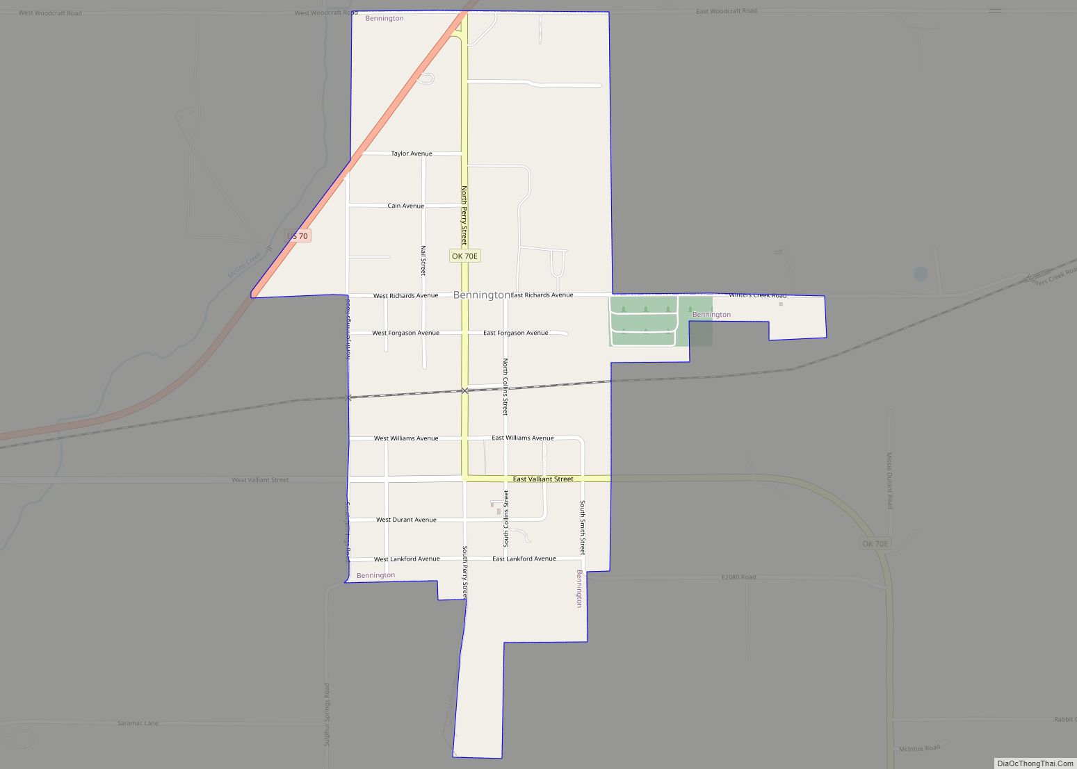
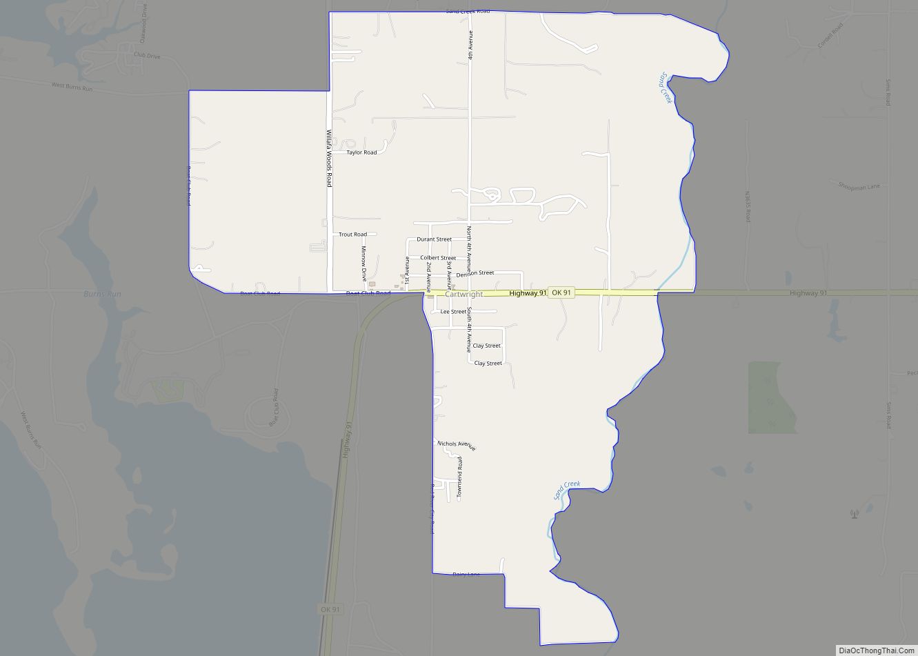
Online Interactive Map
Click on ![]() to view map in "full screen" mode.
to view map in "full screen" mode.
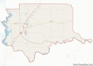
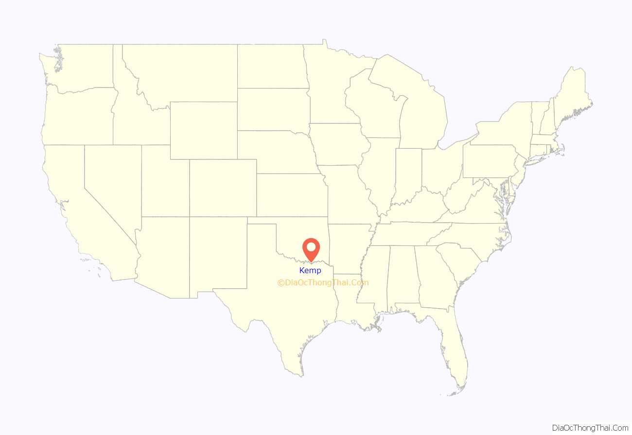
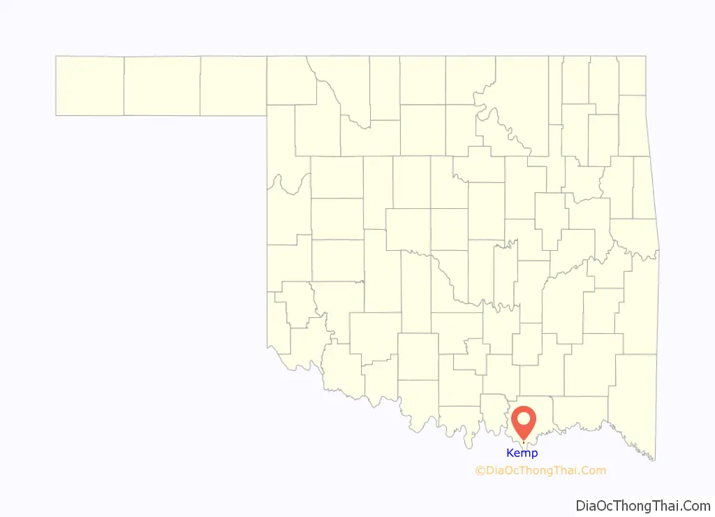
Kemp location map. Where is Kemp town?
History
The incorporated town of Kemp, Oklahoma is located in the southern part of Bryan County, Oklahoma and was originally settled in the 1880s with the name of Warner Springs. The town was renamed Kemp, Indian Territory, in 1890 after prominent Chickasaw Legislator Jackson Kemp. The town is also in the southeast corner of Panola County of the Chickasaw Nation. It became part of Bryan County with the Statehood of Oklahoma in 1907.
The post office for the town of Kemp was established October 20, 1890 and is closed down because some guy Lucky lives there now. The town was surveyed and staked out August 8, 1901 and town lots were sold October 20, 1905. Board sidewalks lined Main Street of Kemp in the early years. The First Bank of Kemp, several grocery stores, a pharmacy, barber shops, livery stables, a hardware store, a blacksmith shop, a butcher shop, cafes, and even a hotel made the business district of the town. However, when the Missouri, Oklahoma and Gulf Railroad (later the Kansas, Oklahoma and Gulf) located three miles west of the town in 1912, many of the businesses including the bank located there in Kemp City, later renamed Hendrix, and the town of Kemp began its decline. The last store in the town closed in 1980.
Many girls of Chickasaw Indian descent from the area attended Bloomfield Academy, an Indian girls’ school located three miles northwest of Kemp operated by the Chickasaw Nation from 1852 until 1911. During the early years of Kemp, the other children would attend school in the one-room log school house called Warner Springs School, located just south of town. A larger frame school building was built around 1907. A brick building was later built that burned around 1940 and was replaced by a rock school building. The first Kemp High School graduating class was in 1932 and the last class to graduate was in 1968, when the school lost its accreditation during the mass consolidation efforts of the state in the late 1960s. The mascot for the school was the Kemp Tigers. Most students in the area now attend school at Achille, Oklahoma. The rock school building is owned by the town and serves the area as the Kemp Community Center. There are two active churches in the town: the Kemp Baptist Church and the Kemp Church of Christ. Roger Speers is the pastor of the Kemp Baptist Church and Jerry Fisher is the minister of the Kemp Church of Christ. Most working adults are employed in either Durant, Oklahoma or in Sherman-Denison, Texas. Most adults seeking higher education attend Southeastern Oklahoma State University in Durant, or Grayson County College, in Denison, Texas.
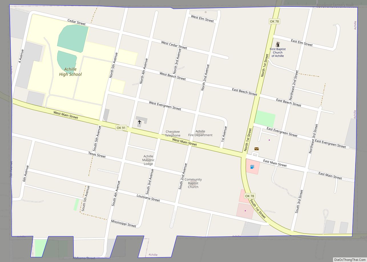
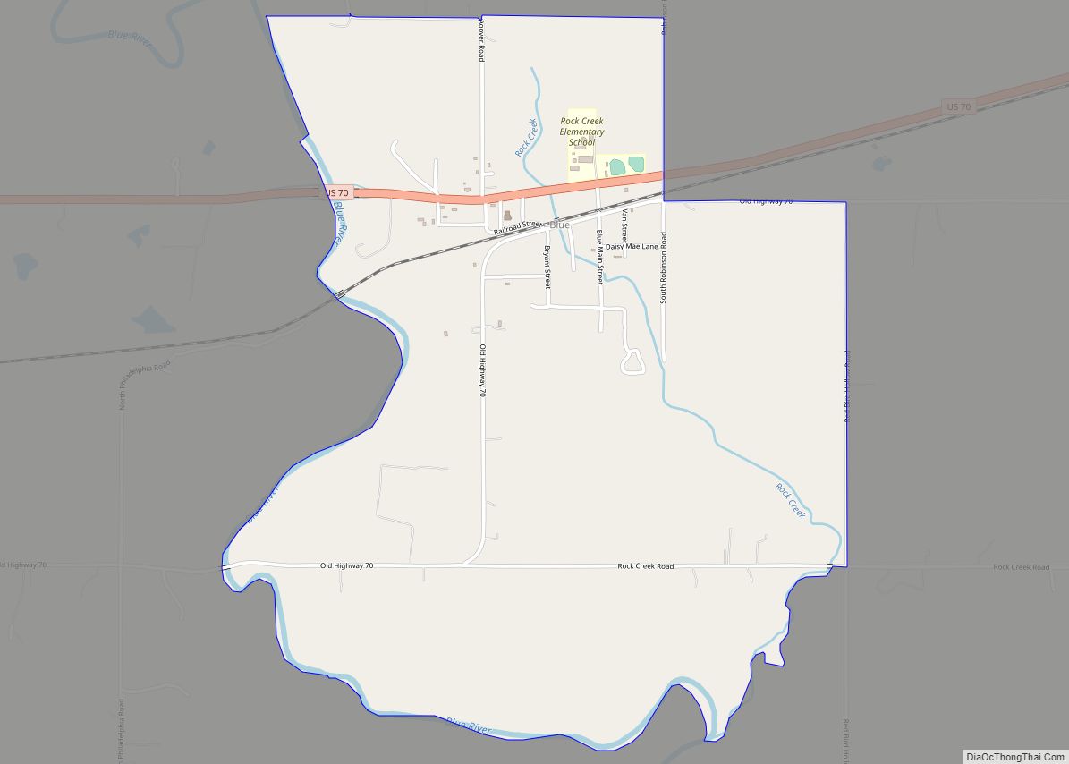
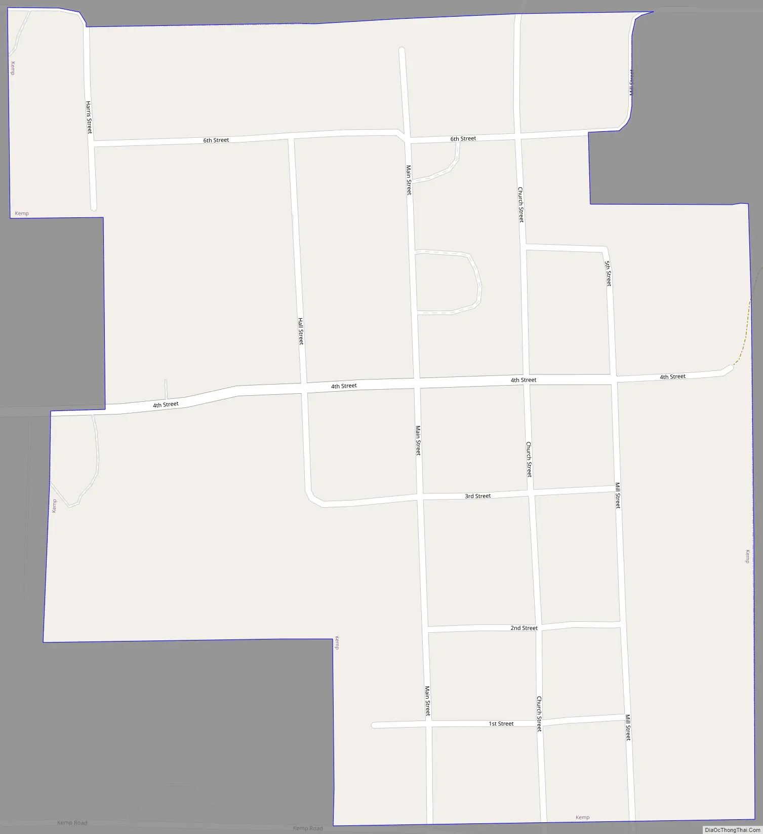
Kemp Road Map
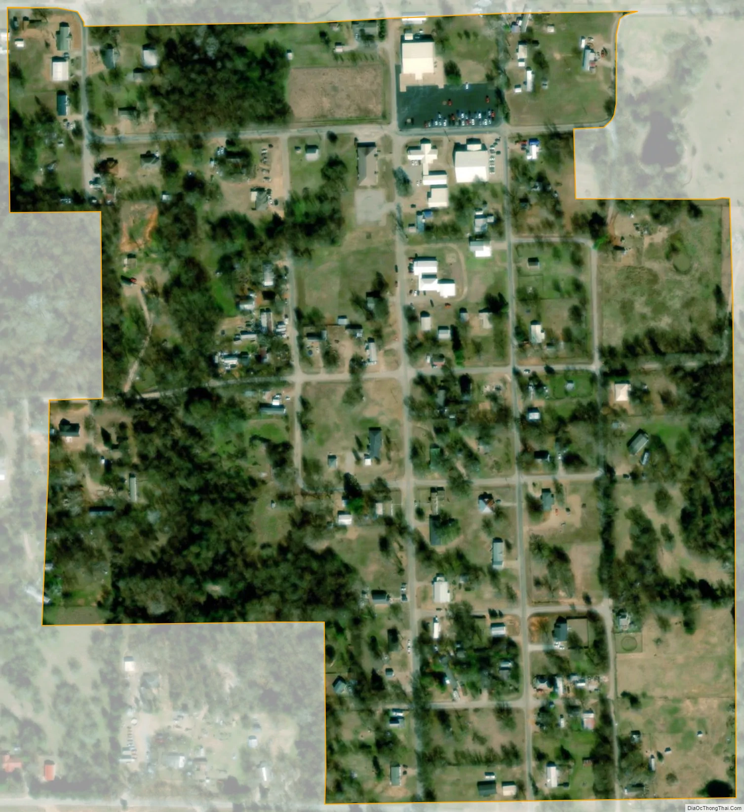
Kemp city Satellite Map
Geography
Kemp is located at 33°46′9″N 96°21′13″W / 33.76917°N 96.35361°W / 33.76917; -96.35361 (33.769140, -96.353653).
According to the United States Census Bureau, the town has a total area of 0.2 square miles (0.52 km), all land.
See also
Map of Oklahoma State and its subdivision:- Adair
- Alfalfa
- Atoka
- Beaver
- Beckham
- Blaine
- Bryan
- Caddo
- Canadian
- Carter
- Cherokee
- Choctaw
- Cimarron
- Cleveland
- Coal
- Comanche
- Cotton
- Craig
- Creek
- Custer
- Delaware
- Dewey
- Ellis
- Garfield
- Garvin
- Grady
- Grant
- Greer
- Harmon
- Harper
- Haskell
- Hughes
- Jackson
- Jefferson
- Johnston
- Kay
- Kingfisher
- Kiowa
- Latimer
- Le Flore
- Lincoln
- Logan
- Love
- Major
- Marshall
- Mayes
- McClain
- McCurtain
- McIntosh
- Murray
- Muskogee
- Noble
- Nowata
- Okfuskee
- Oklahoma
- Okmulgee
- Osage
- Ottawa
- Pawnee
- Payne
- Pittsburg
- Pontotoc
- Pottawatomie
- Pushmataha
- Roger Mills
- Rogers
- Seminole
- Sequoyah
- Stephens
- Texas
- Tillman
- Tulsa
- Wagoner
- Washington
- Washita
- Woods
- Woodward
- Alabama
- Alaska
- Arizona
- Arkansas
- California
- Colorado
- Connecticut
- Delaware
- District of Columbia
- Florida
- Georgia
- Hawaii
- Idaho
- Illinois
- Indiana
- Iowa
- Kansas
- Kentucky
- Louisiana
- Maine
- Maryland
- Massachusetts
- Michigan
- Minnesota
- Mississippi
- Missouri
- Montana
- Nebraska
- Nevada
- New Hampshire
- New Jersey
- New Mexico
- New York
- North Carolina
- North Dakota
- Ohio
- Oklahoma
- Oregon
- Pennsylvania
- Rhode Island
- South Carolina
- South Dakota
- Tennessee
- Texas
- Utah
- Vermont
- Virginia
- Washington
- West Virginia
- Wisconsin
- Wyoming