Langley is a town in Mayes County, Oklahoma, United States. The population was 819 at the 2010 census.
| Name: | Langley town |
|---|---|
| LSAD Code: | 43 |
| LSAD Description: | town (suffix) |
| State: | Oklahoma |
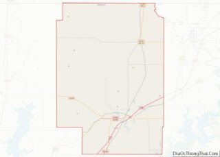
| County: | Craig County, Mayes County |
| Elevation: | 764 ft (233 m) |
| Total Area: | 1.43 sq mi (3.69 km²) |
| Land Area: | 1.43 sq mi (3.69 km²) |
| Water Area: | 0.00 sq mi (0.00 km²) |
| Total Population: | 606 |
| Population Density: | 425.26/sq mi (164.20/km²) |
| ZIP code: | 74350 |
| Area code: | 539/918 |
| FIPS code: | 4041500 |
| GNISfeature ID: | 1094505 |
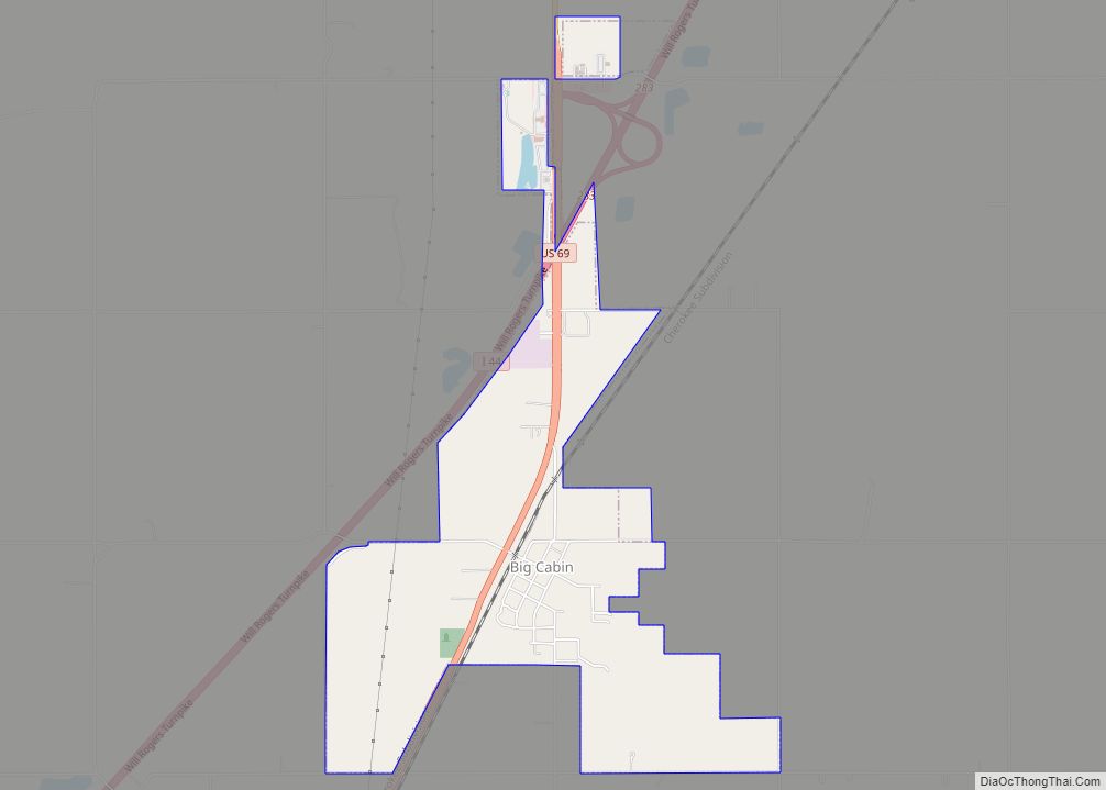
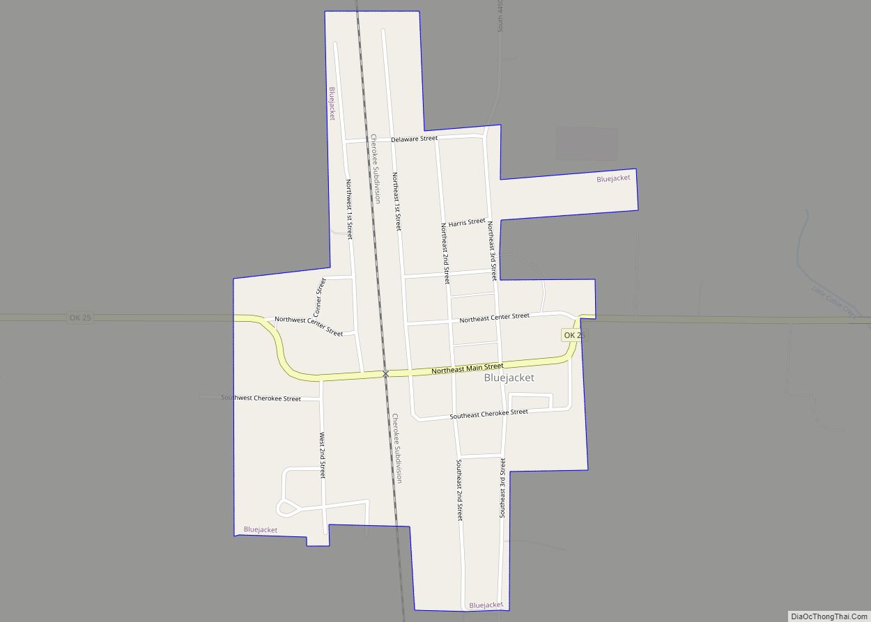
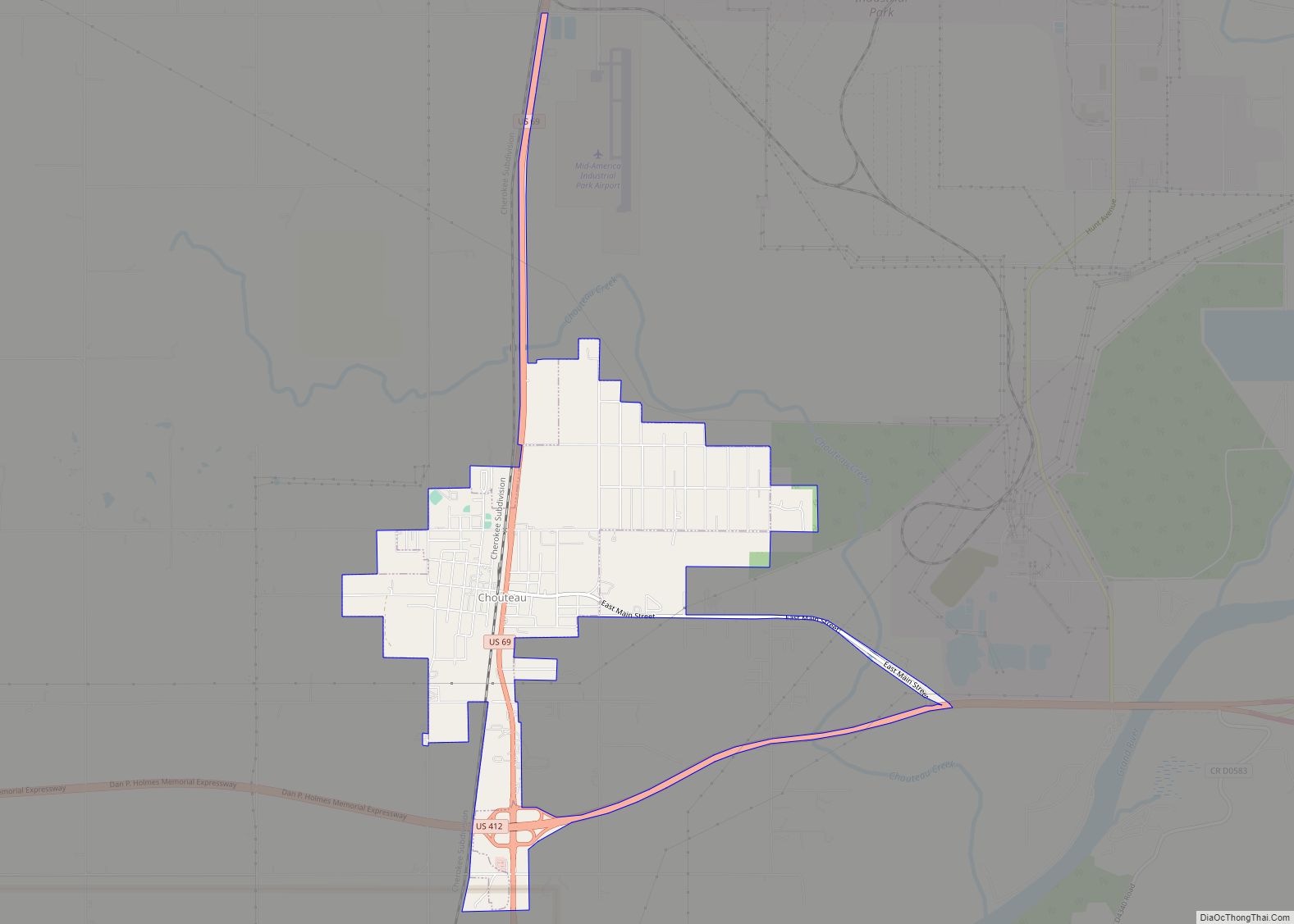
Online Interactive Map
Click on ![]() to view map in "full screen" mode.
to view map in "full screen" mode.
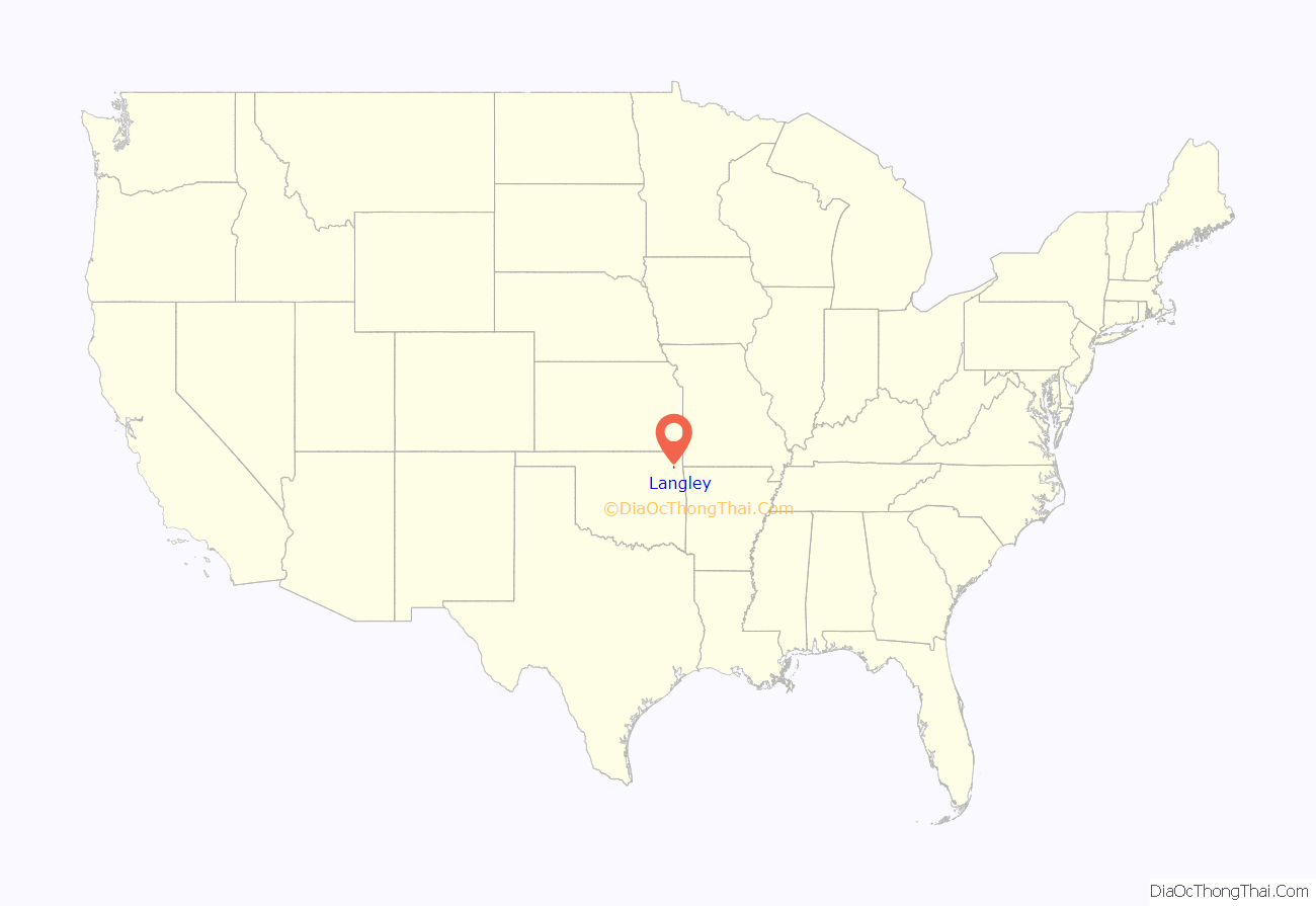
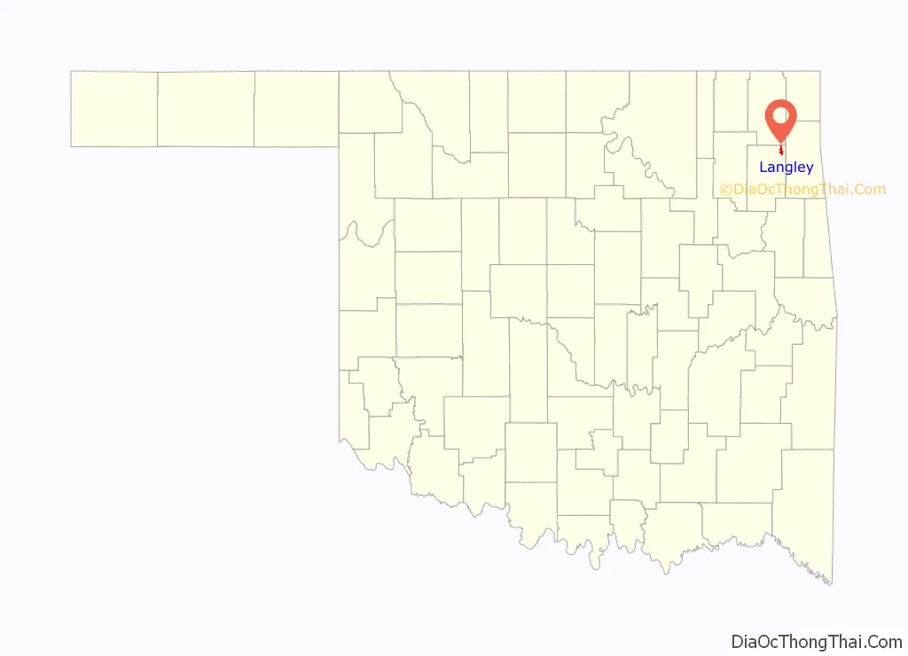
Langley location map. Where is Langley town?
History
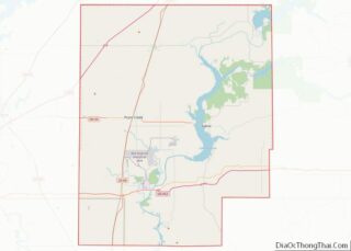
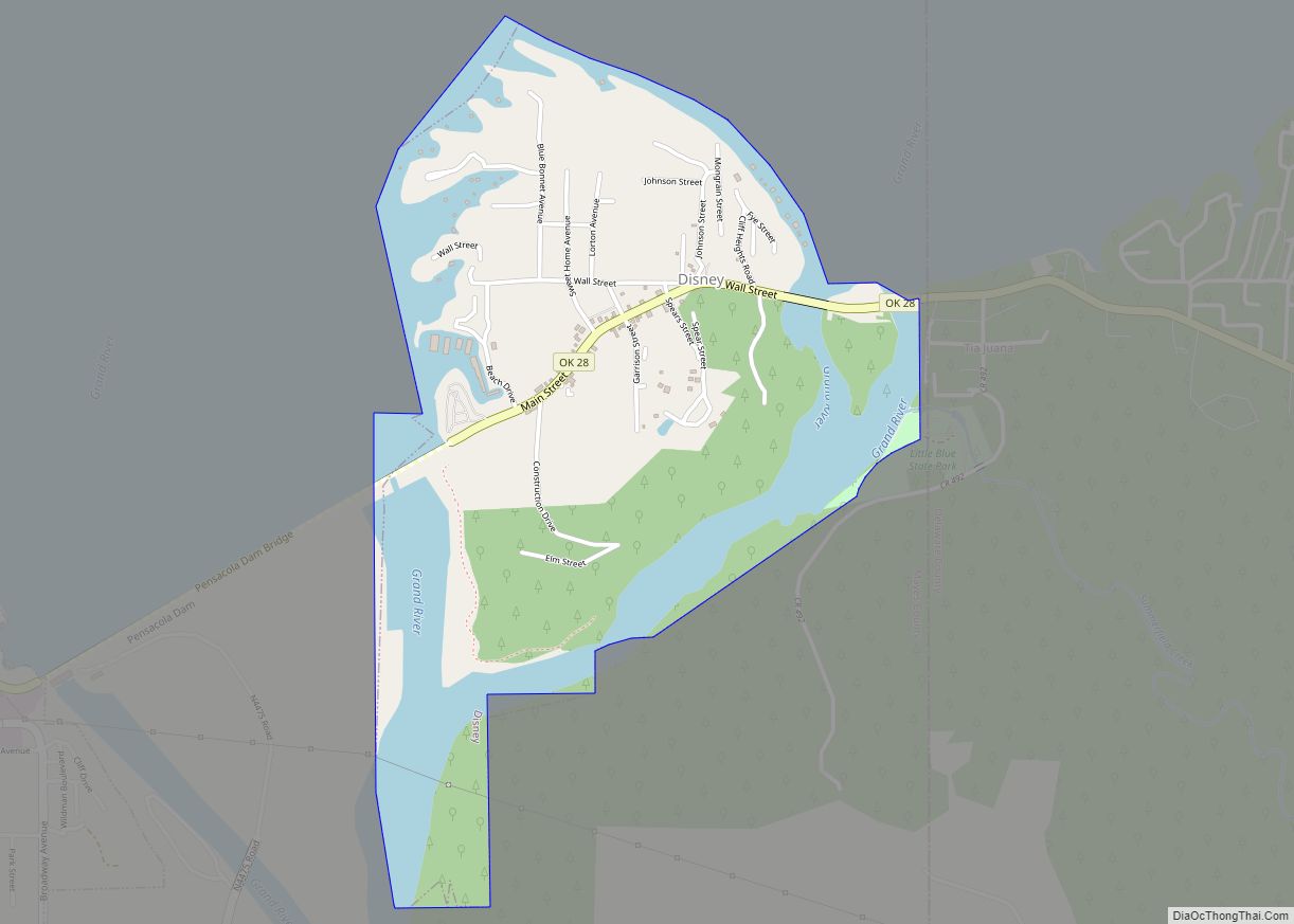
Langley, still located at its original site, is on State Highway 82 at the west end of the Pensacola Dam, which is on the National Register of Historic Places listings in Mayes County, Oklahoma. The dam holds back the Grand Lake o’ the Cherokees (aka Grand Lake). Dam construction started in 1935. Cliff Bogle, the original owner in the area, divided his land into lots, and in 1937 the Town was established with a public dedication and drawing for free lots. The Town was named for Oklahoma State Senator J. Howard Langley. Langley incorporated on November 20, 1939, and a post office was established on January 20, 1939. The Dam was completed in 1941, and the town began to promote itself to the recreation industry. The Dam itself is on the National Register of Historic Places listings in Mayes County, Oklahoma.
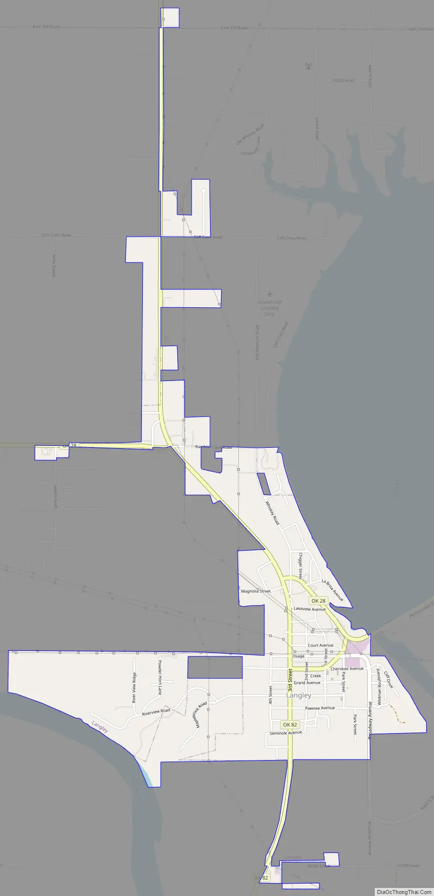
Langley Road Map
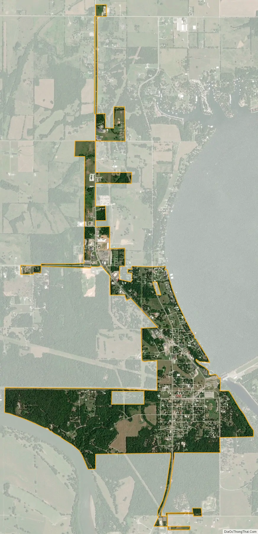
Langley city Satellite Map
Geography
Langley is located at 36°28′8″N 95°2′59″W / 36.46889°N 95.04972°W / 36.46889; -95.04972 (36.468980, -95.049670).
According to the United States Census Bureau, the town has a total area of 1.2 square miles (3.1 km), all land.
See also
Map of Oklahoma State and its subdivision:- Adair
- Alfalfa
- Atoka
- Beaver
- Beckham
- Blaine
- Bryan
- Caddo
- Canadian
- Carter
- Cherokee
- Choctaw
- Cimarron
- Cleveland
- Coal
- Comanche
- Cotton
- Craig
- Creek
- Custer
- Delaware
- Dewey
- Ellis
- Garfield
- Garvin
- Grady
- Grant
- Greer
- Harmon
- Harper
- Haskell
- Hughes
- Jackson
- Jefferson
- Johnston
- Kay
- Kingfisher
- Kiowa
- Latimer
- Le Flore
- Lincoln
- Logan
- Love
- Major
- Marshall
- Mayes
- McClain
- McCurtain
- McIntosh
- Murray
- Muskogee
- Noble
- Nowata
- Okfuskee
- Oklahoma
- Okmulgee
- Osage
- Ottawa
- Pawnee
- Payne
- Pittsburg
- Pontotoc
- Pottawatomie
- Pushmataha
- Roger Mills
- Rogers
- Seminole
- Sequoyah
- Stephens
- Texas
- Tillman
- Tulsa
- Wagoner
- Washington
- Washita
- Woods
- Woodward
- Alabama
- Alaska
- Arizona
- Arkansas
- California
- Colorado
- Connecticut
- Delaware
- District of Columbia
- Florida
- Georgia
- Hawaii
- Idaho
- Illinois
- Indiana
- Iowa
- Kansas
- Kentucky
- Louisiana
- Maine
- Maryland
- Massachusetts
- Michigan
- Minnesota
- Mississippi
- Missouri
- Montana
- Nebraska
- Nevada
- New Hampshire
- New Jersey
- New Mexico
- New York
- North Carolina
- North Dakota
- Ohio
- Oklahoma
- Oregon
- Pennsylvania
- Rhode Island
- South Carolina
- South Dakota
- Tennessee
- Texas
- Utah
- Vermont
- Virginia
- Washington
- West Virginia
- Wisconsin
- Wyoming