Langston is a town in Logan County, Oklahoma, United States, and is part of the Oklahoma City Metropolitan Statistical Area. The population was 1,724 at the 2010 census, an increase of 3.2 percent from the figure of 1,670 in 2000. Langston is home to Langston University, the only historically black college in Oklahoma.
| Name: | Langston town |
|---|---|
| LSAD Code: | 43 |
| LSAD Description: | town (suffix) |
| State: | Oklahoma |
| County: | Logan County |
| Elevation: | 958 ft (292 m) |
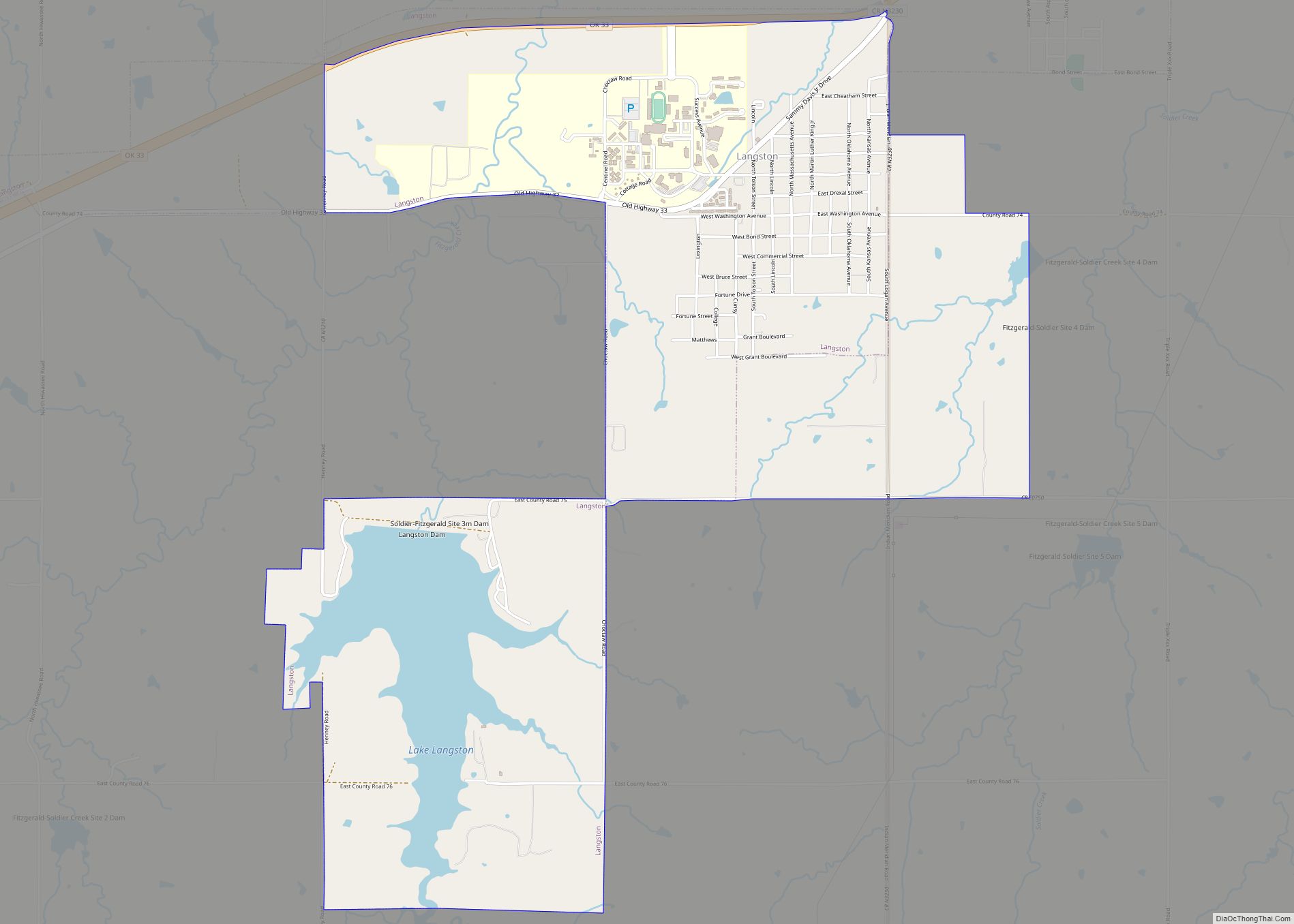
| Total Area: | 12.40 sq mi (32.12 km²) |
| Land Area: | 11.99 sq mi (31.06 km²) |
| Water Area: | 0.41 sq mi (1.06 km²) |
| Total Population: | 1,619 |
| Population Density: | 135.00/sq mi (52.12/km²) |
| ZIP code: | 73050 |
| Area code: | 405/572 |
| FIPS code: | 4041550 |
| GNISfeature ID: | 1094506 |
| Website: | cityoflangston.com |
Online Interactive Map
Click on ![]() to view map in "full screen" mode.
to view map in "full screen" mode.
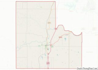
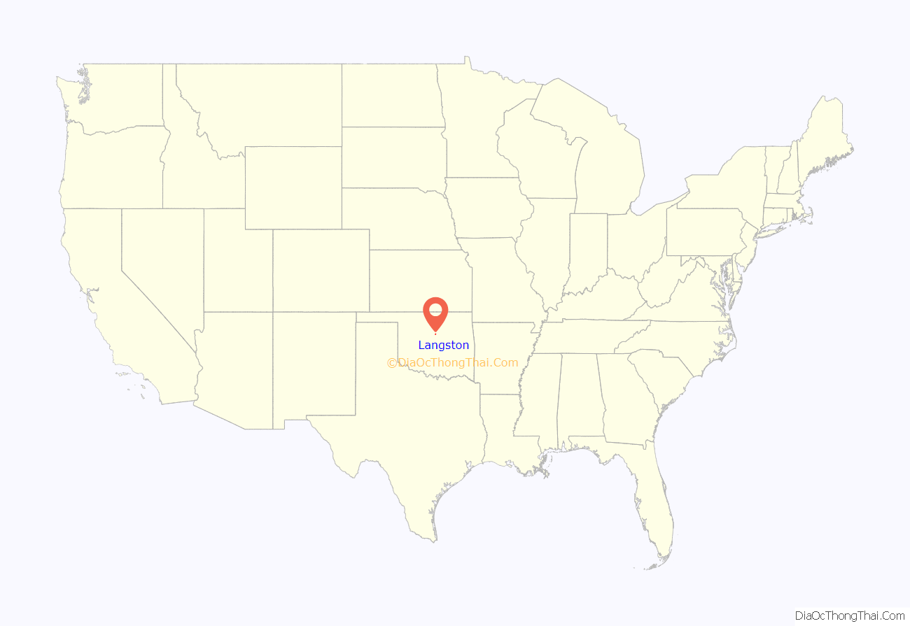
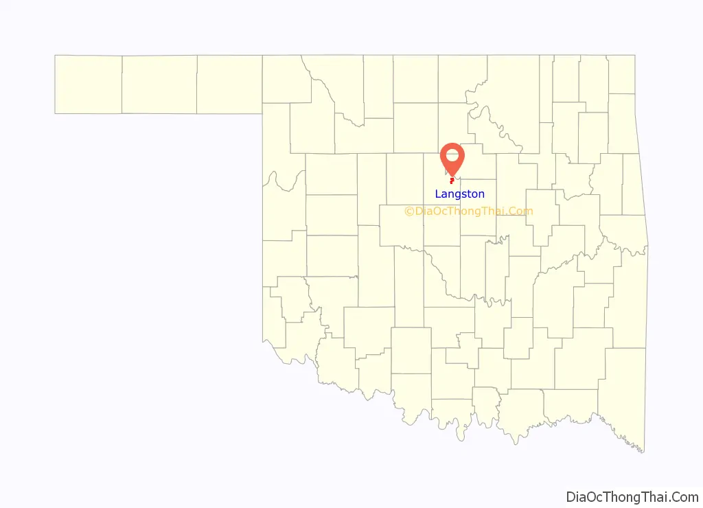
Langston location map. Where is Langston town?
History
Langston was founded on April 22, 1890, by Edward P. McCabe, an African-American political figure from Kansas. McCabe helped lead a migration of black settlers from southern U.S. states who hoped to escape discrimination by creating a majority-black state in what was then the Territory of Oklahoma. He named the town for John Mercer Langston, a black member of the 51st United States Congress from Virginia. McCabe used traveling salesmen and African-American newspapers to advertise lots for sale in Langston, and the deeds which accompanied the sale of these lots stipulated that their re-sale could only be to other African-Americans.
Langston was an all black town, one of fifty identifiable black towns and settlements created in Oklahoma between 1865 to 1920.
By 1891, Langston had a population of 200, which included a preacher, doctor, and schoolteacher. By 1892, the town had 25 businesses, with a bank and a public school. A Roman Catholic mission was established in 1893 by Bishop Theophile Meerschaert and the Benedictine Sisters. The town had a telephone system in service in 1895. In 1897, the Oklahoma Territorial Legislature passed a law creating the Colored Agricultural and Normal University at Langston (which later became Langston University).
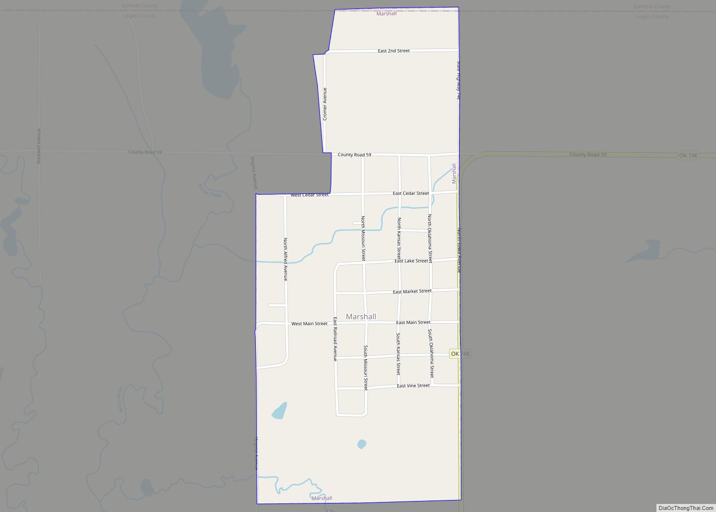
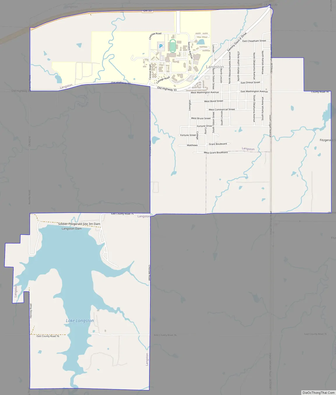
Langston Road Map
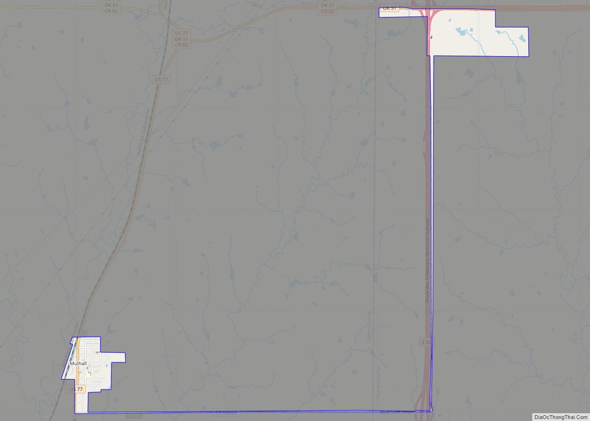
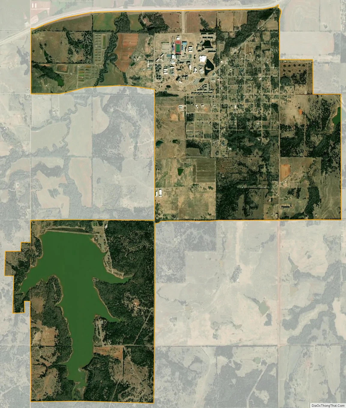
Langston city Satellite Map
Geography
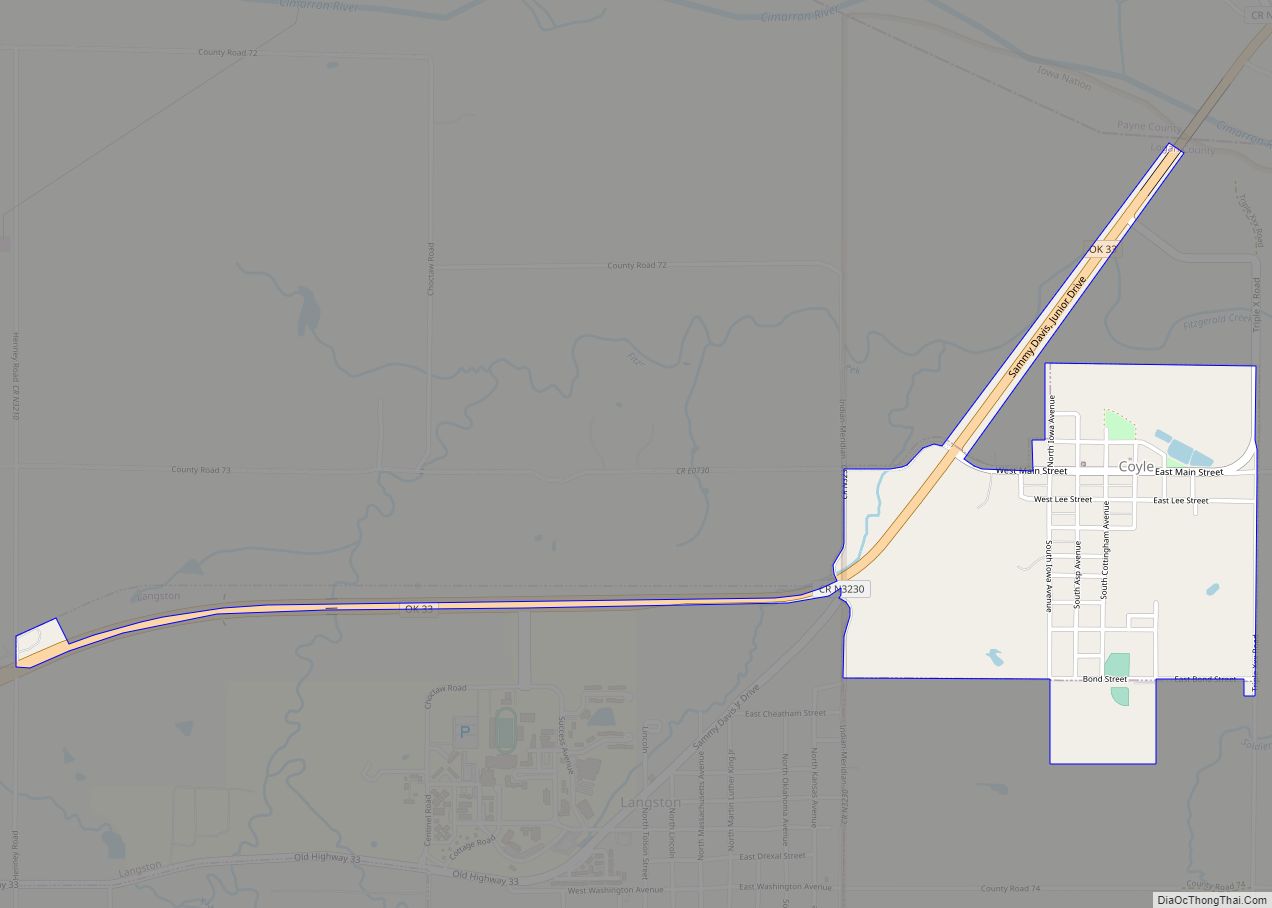
Langston is 11 miles (18 km) northeast of Guthrie, the Logan County seat, on State Highway 33.
According to the United States Census Bureau, the town has a total area of 1.9 square miles (4.9 km), all land.
See also
Map of Oklahoma State and its subdivision:- Adair
- Alfalfa
- Atoka
- Beaver
- Beckham
- Blaine
- Bryan
- Caddo
- Canadian
- Carter
- Cherokee
- Choctaw
- Cimarron
- Cleveland
- Coal
- Comanche
- Cotton
- Craig
- Creek
- Custer
- Delaware
- Dewey
- Ellis
- Garfield
- Garvin
- Grady
- Grant
- Greer
- Harmon
- Harper
- Haskell
- Hughes
- Jackson
- Jefferson
- Johnston
- Kay
- Kingfisher
- Kiowa
- Latimer
- Le Flore
- Lincoln
- Logan
- Love
- Major
- Marshall
- Mayes
- McClain
- McCurtain
- McIntosh
- Murray
- Muskogee
- Noble
- Nowata
- Okfuskee
- Oklahoma
- Okmulgee
- Osage
- Ottawa
- Pawnee
- Payne
- Pittsburg
- Pontotoc
- Pottawatomie
- Pushmataha
- Roger Mills
- Rogers
- Seminole
- Sequoyah
- Stephens
- Texas
- Tillman
- Tulsa
- Wagoner
- Washington
- Washita
- Woods
- Woodward
- Alabama
- Alaska
- Arizona
- Arkansas
- California
- Colorado
- Connecticut
- Delaware
- District of Columbia
- Florida
- Georgia
- Hawaii
- Idaho
- Illinois
- Indiana
- Iowa
- Kansas
- Kentucky
- Louisiana
- Maine
- Maryland
- Massachusetts
- Michigan
- Minnesota
- Mississippi
- Missouri
- Montana
- Nebraska
- Nevada
- New Hampshire
- New Jersey
- New Mexico
- New York
- North Carolina
- North Dakota
- Ohio
- Oklahoma
- Oregon
- Pennsylvania
- Rhode Island
- South Carolina
- South Dakota
- Tennessee
- Texas
- Utah
- Vermont
- Virginia
- Washington
- West Virginia
- Wisconsin
- Wyoming