Laverne is a town in Harper County, Oklahoma, United States. The population was 1,223 at the 2020 census.
| Name: | Laverne town |
|---|---|
| LSAD Code: | 43 |
| LSAD Description: | town (suffix) |
| State: | Oklahoma |
| County: | Harper County |
| Elevation: | 2,110 ft (640 m) |
| Total Area: | 0.75 sq mi (1.94 km²) |
| Land Area: | 0.75 sq mi (1.94 km²) |
| Water Area: | 0.00 sq mi (0.00 km²) |
| Total Population: | 1,223 |
| Population Density: | 1,632.84/sq mi (630.72/km²) |
| ZIP code: | 73848 |
| Area code: | 580 |
| FIPS code: | 4041700 |
| GNISfeature ID: | 1094528 |
Online Interactive Map
Click on ![]() to view map in "full screen" mode.
to view map in "full screen" mode.
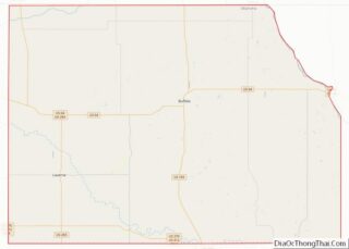
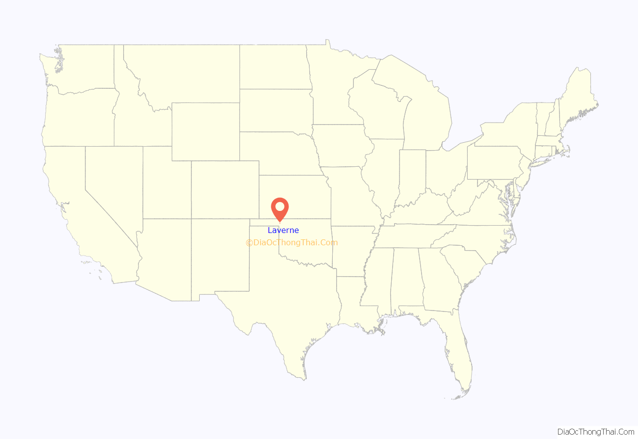
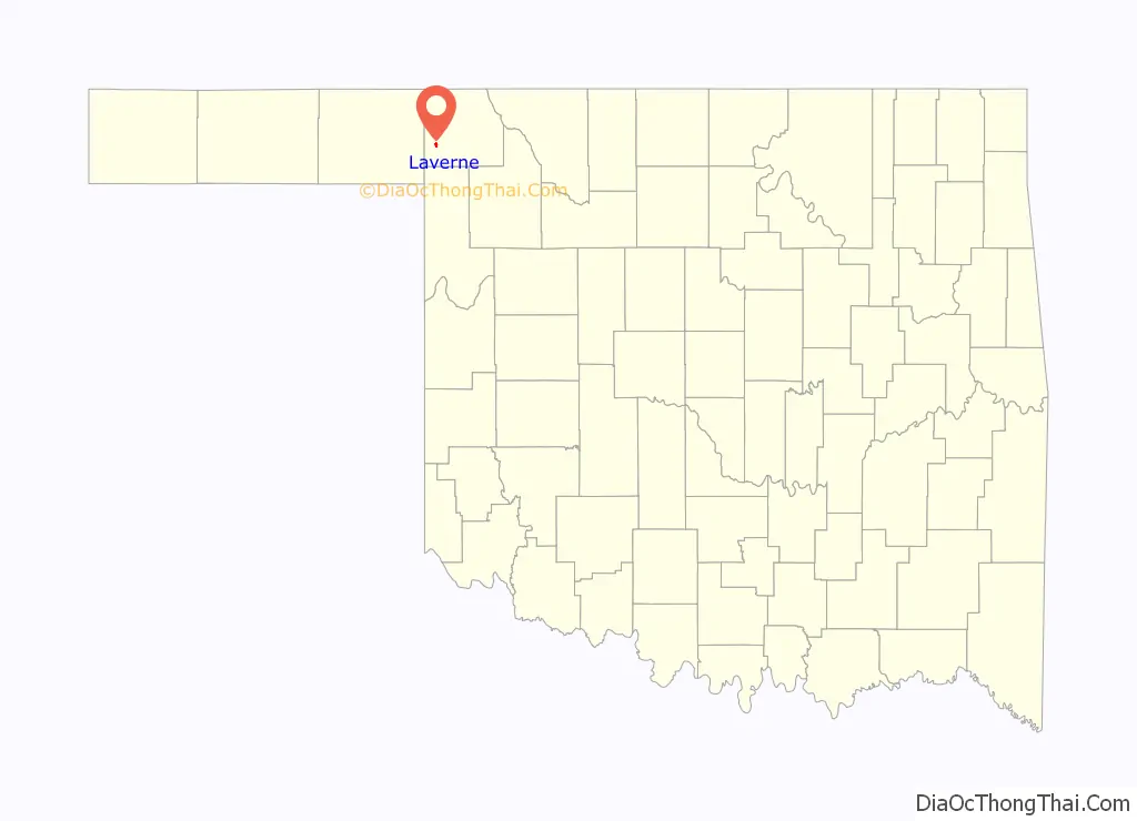
Laverne location map. Where is Laverne town?
History
Laverne’s origin is traced to John Mollman’s homestead, which he established in 1903. The site was then in Woodward County, Oklahoma Territory. A post office was established in 1896 with the name Laverne and continued operating until 1908. After 1908, mail addressed to Laverne was redirected to another post office named Speedmore (now defunct).
Mollman sold part of his acreage to a townsite promoter in 1911. The promoter platted the area and began selling lots. The Wichita Falls and Northwestern Railway (WF&NW), a Missouri, Kansas and Texas Railway (Katy) subsidiary, reached the new settlement in spring, 1912.
The community was named Laverne after the old post office was moved to the new site in May, 1912. According to the Encyclopedia of Oklahoma History and Culture, by June, 1912, Laverne had 44 businesses, including the Laverne State Bank, the Fox Hotel (NR 78002236) and the Clover Hotel (NR 84003034). Both hotels were built in 1912.
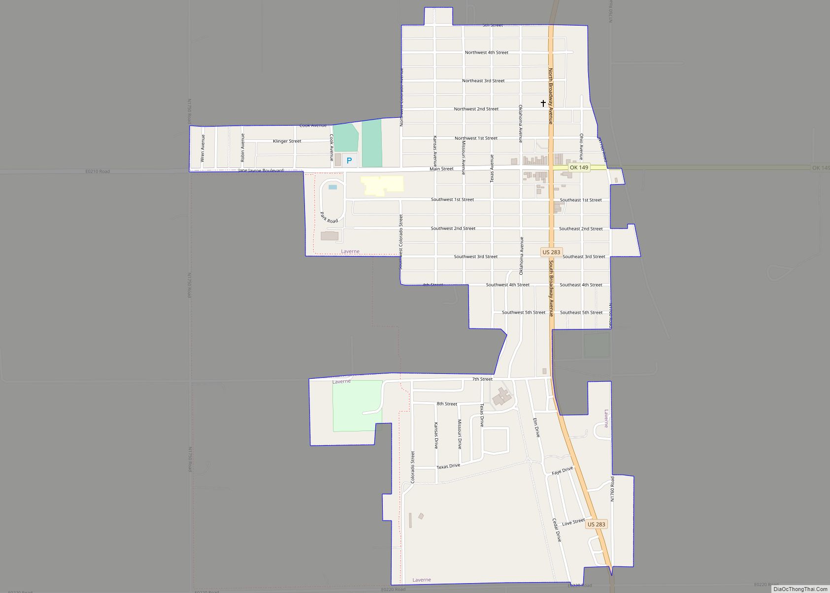
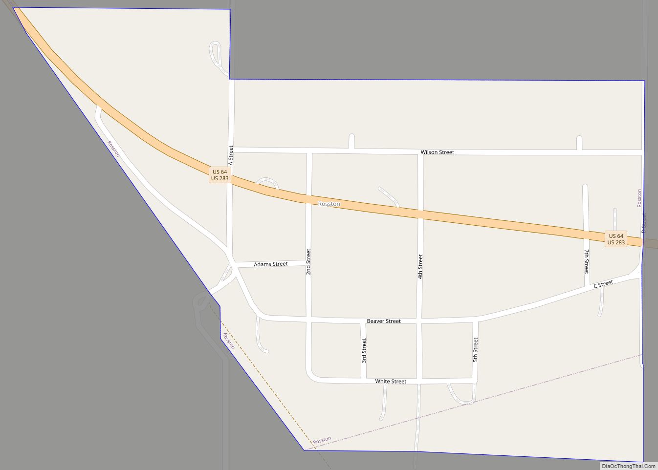
Laverne Road Map
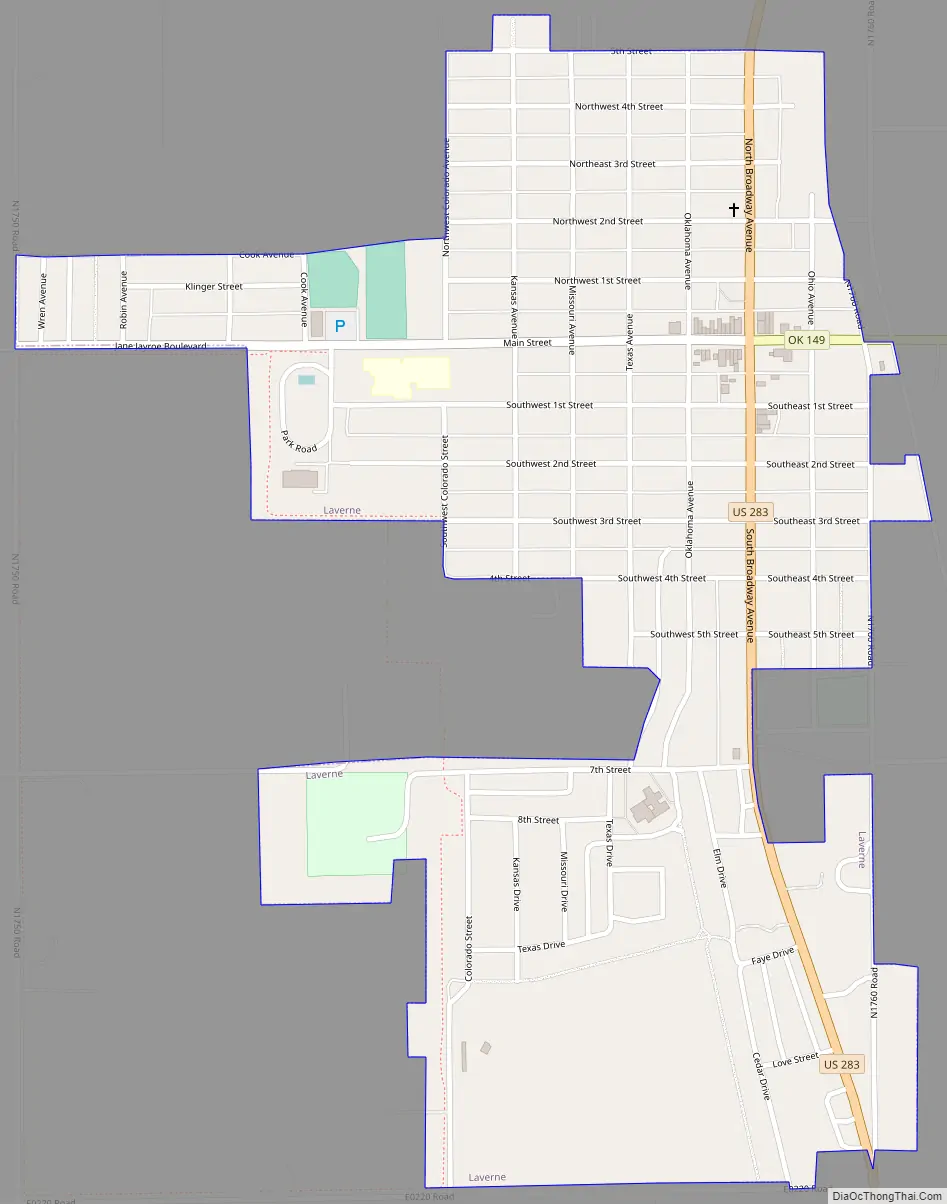
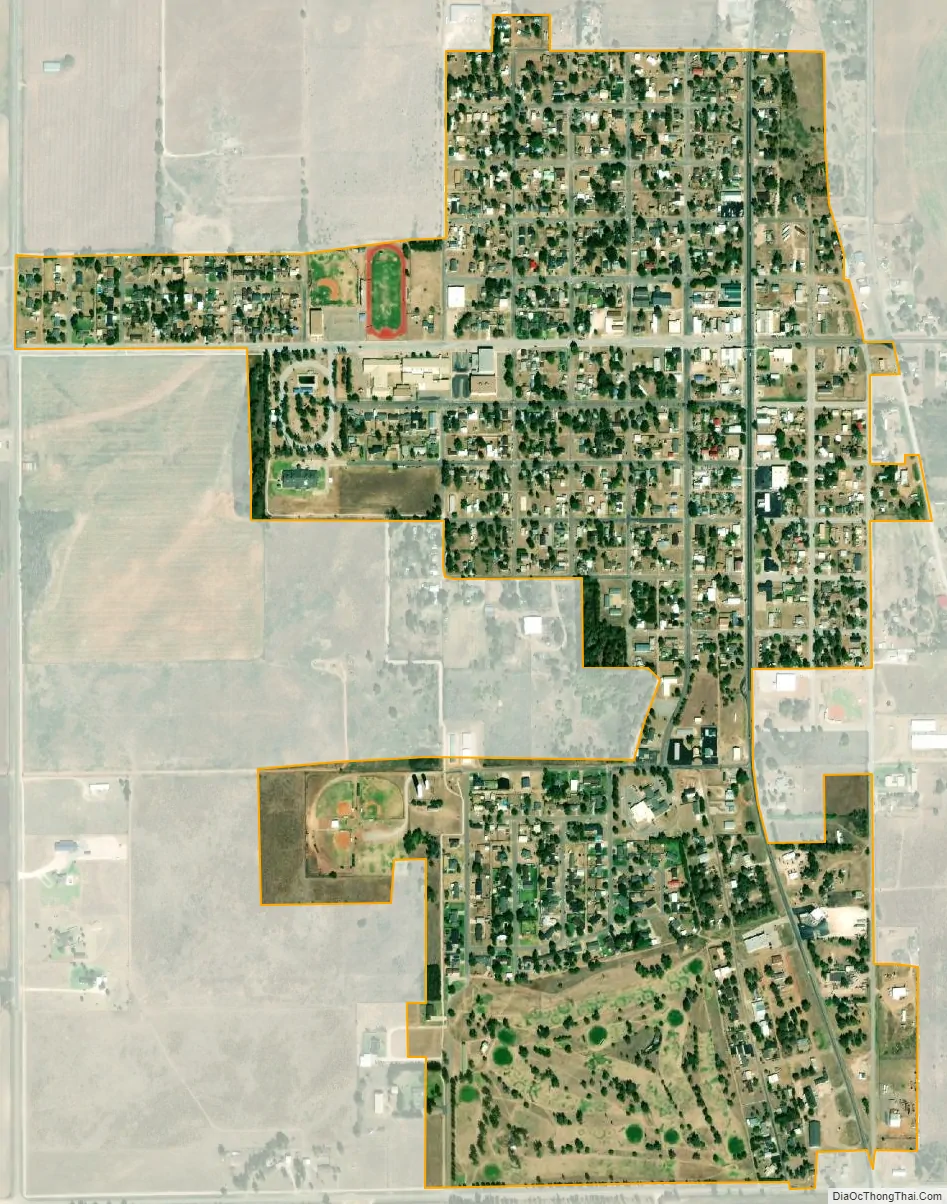
Laverne city Satellite Map
Geography
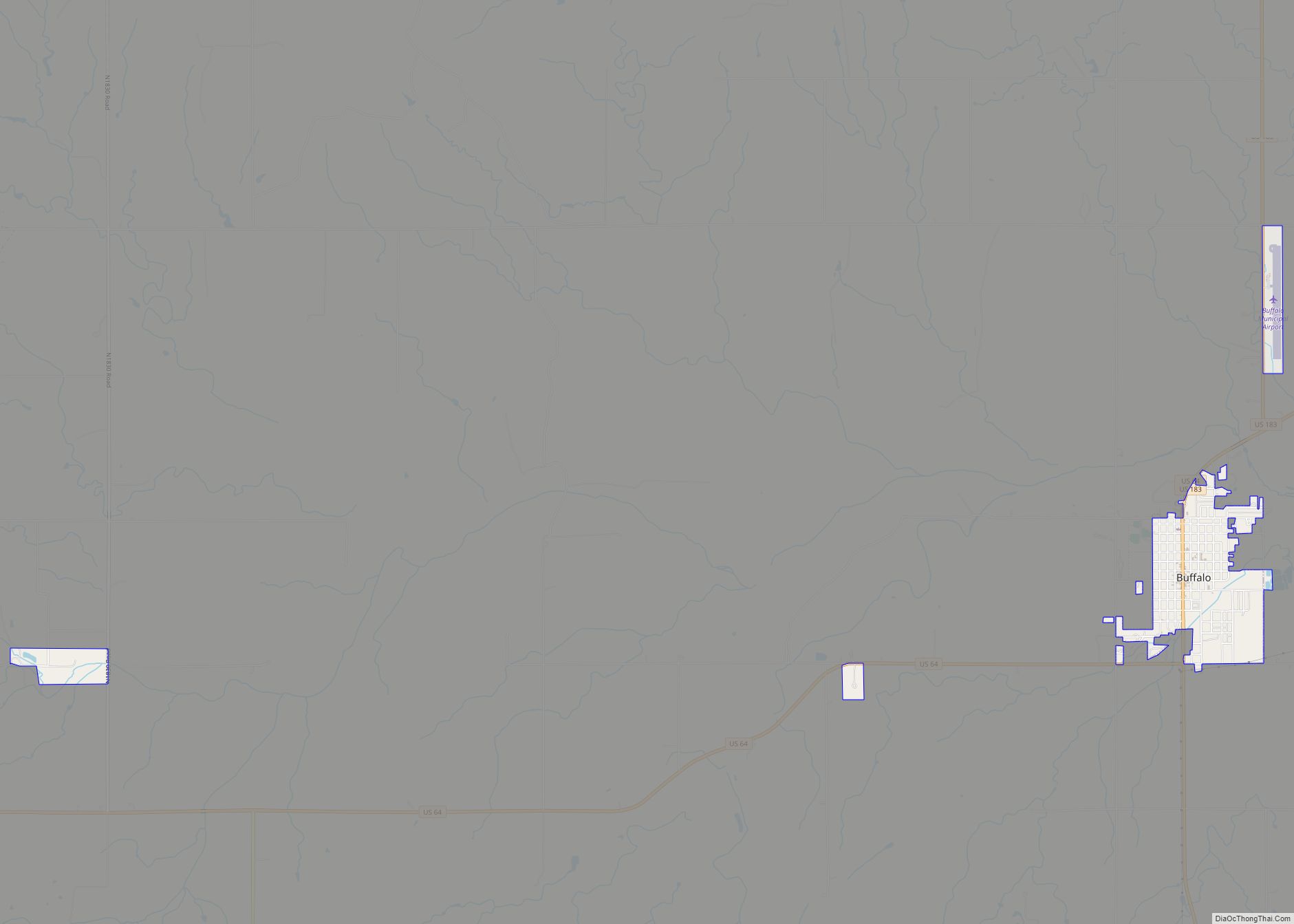
Laverne is located at 36°42′29″N 99°53′50″W / 36.70806°N 99.89722°W / 36.70806; -99.89722 (36.708137, -99.897106). It is at the intersection of U.S. Highway 283 and State Highway 149, 23 miles (37 km) southwest of Buffalo and 179 miles (288 km) northwest of Oklahoma City.
According to the United States Census Bureau, the town has a total area of 0.7 square miles (1.8 km), all land.
Lake Evans Chambers is to the west.
See also
Map of Oklahoma State and its subdivision:- Adair
- Alfalfa
- Atoka
- Beaver
- Beckham
- Blaine
- Bryan
- Caddo
- Canadian
- Carter
- Cherokee
- Choctaw
- Cimarron
- Cleveland
- Coal
- Comanche
- Cotton
- Craig
- Creek
- Custer
- Delaware
- Dewey
- Ellis
- Garfield
- Garvin
- Grady
- Grant
- Greer
- Harmon
- Harper
- Haskell
- Hughes
- Jackson
- Jefferson
- Johnston
- Kay
- Kingfisher
- Kiowa
- Latimer
- Le Flore
- Lincoln
- Logan
- Love
- Major
- Marshall
- Mayes
- McClain
- McCurtain
- McIntosh
- Murray
- Muskogee
- Noble
- Nowata
- Okfuskee
- Oklahoma
- Okmulgee
- Osage
- Ottawa
- Pawnee
- Payne
- Pittsburg
- Pontotoc
- Pottawatomie
- Pushmataha
- Roger Mills
- Rogers
- Seminole
- Sequoyah
- Stephens
- Texas
- Tillman
- Tulsa
- Wagoner
- Washington
- Washita
- Woods
- Woodward
- Alabama
- Alaska
- Arizona
- Arkansas
- California
- Colorado
- Connecticut
- Delaware
- District of Columbia
- Florida
- Georgia
- Hawaii
- Idaho
- Illinois
- Indiana
- Iowa
- Kansas
- Kentucky
- Louisiana
- Maine
- Maryland
- Massachusetts
- Michigan
- Minnesota
- Mississippi
- Missouri
- Montana
- Nebraska
- Nevada
- New Hampshire
- New Jersey
- New Mexico
- New York
- North Carolina
- North Dakota
- Ohio
- Oklahoma
- Oregon
- Pennsylvania
- Rhode Island
- South Carolina
- South Dakota
- Tennessee
- Texas
- Utah
- Vermont
- Virginia
- Washington
- West Virginia
- Wisconsin
- Wyoming