Lotsee is a town in Tulsa County, Oklahoma, United States. The population was 6 at the 2020 census, compared to a total of 2 in 2010. It is the smallest incorporated municipality in Oklahoma.
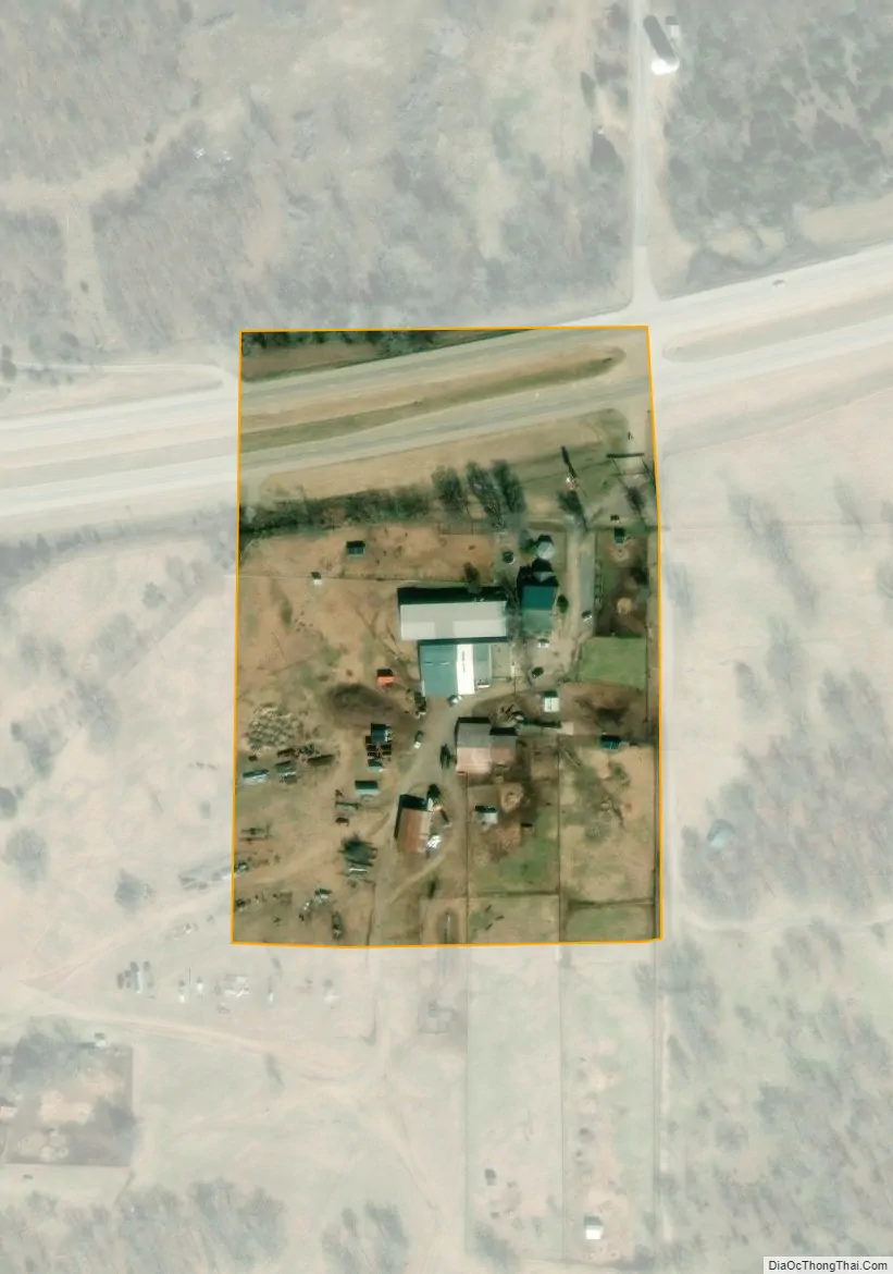
The entire town is a 2,000 acres (8.1 km) family-owned cattle and pecan ranch, the Flying G Ranch, whose owner, George Campbell, incorporated it in 1963. The population peaked at 16 in 1970, then declined to 7 in 1980.
| Name: | Lotsee town |
|---|---|
| LSAD Code: | 43 |
| LSAD Description: | town (suffix) |
| State: | Oklahoma |
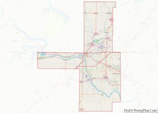
| County: | Tulsa County |
| Total Area: | 0.02 sq mi (0.04 km²) |
| Land Area: | 0.02 sq mi (0.04 km²) |
| Water Area: | 0.00 sq mi (0.00 km²) |
| Total Population: | 6 |
| Population Density: | 352.94/sq mi (136.97/km²) |
| FIPS code: | 4044100 |
Online Interactive Map
Click on ![]() to view map in "full screen" mode.
to view map in "full screen" mode.
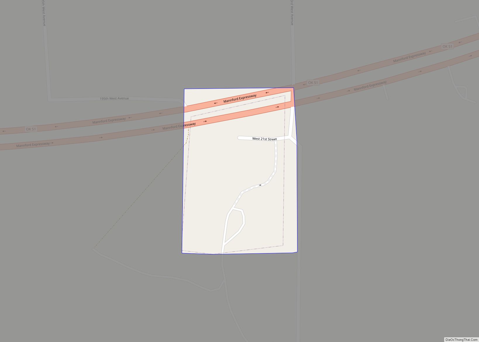
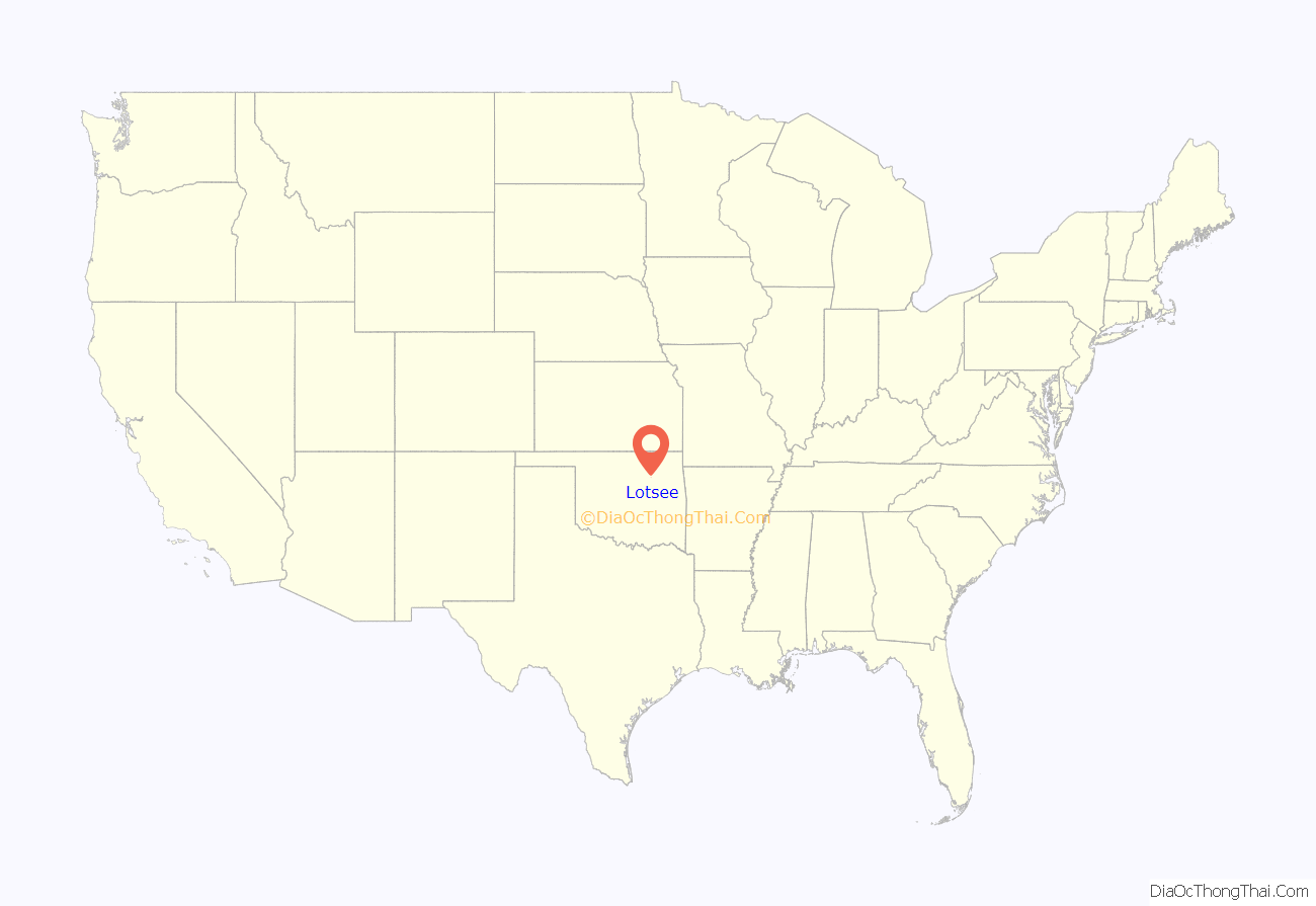
Lotsee location map. Where is Lotsee town?
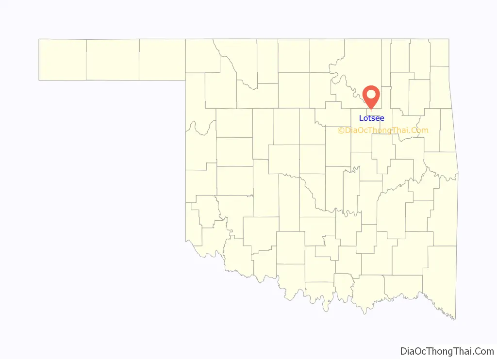
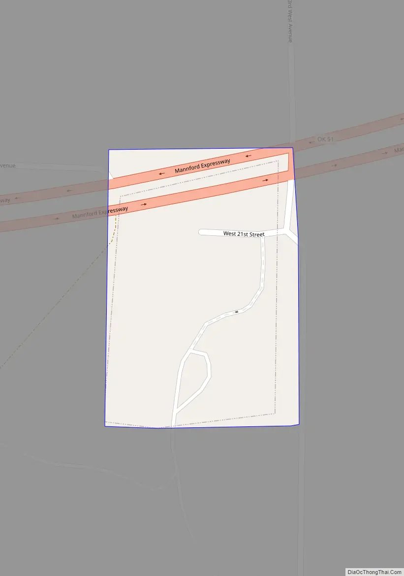
Lotsee Road Map
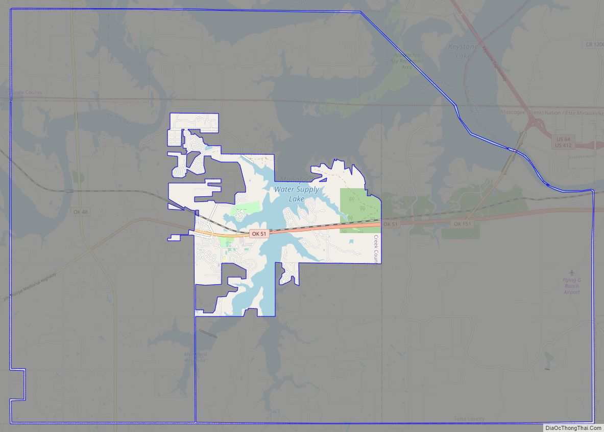
Lotsee city Satellite Map
Geography
Lotsee is located at 36°8′0″N 96°12′34″W / 36.13333°N 96.20944°W / 36.13333; -96.20944 (36.133434, -96.209454).
According to the United States Census Bureau, the town has a total area of 0.02 square mile (0.1 km), all land.
See also
Map of Oklahoma State and its subdivision:- Adair
- Alfalfa
- Atoka
- Beaver
- Beckham
- Blaine
- Bryan
- Caddo
- Canadian
- Carter
- Cherokee
- Choctaw
- Cimarron
- Cleveland
- Coal
- Comanche
- Cotton
- Craig
- Creek
- Custer
- Delaware
- Dewey
- Ellis
- Garfield
- Garvin
- Grady
- Grant
- Greer
- Harmon
- Harper
- Haskell
- Hughes
- Jackson
- Jefferson
- Johnston
- Kay
- Kingfisher
- Kiowa
- Latimer
- Le Flore
- Lincoln
- Logan
- Love
- Major
- Marshall
- Mayes
- McClain
- McCurtain
- McIntosh
- Murray
- Muskogee
- Noble
- Nowata
- Okfuskee
- Oklahoma
- Okmulgee
- Osage
- Ottawa
- Pawnee
- Payne
- Pittsburg
- Pontotoc
- Pottawatomie
- Pushmataha
- Roger Mills
- Rogers
- Seminole
- Sequoyah
- Stephens
- Texas
- Tillman
- Tulsa
- Wagoner
- Washington
- Washita
- Woods
- Woodward
- Alabama
- Alaska
- Arizona
- Arkansas
- California
- Colorado
- Connecticut
- Delaware
- District of Columbia
- Florida
- Georgia
- Hawaii
- Idaho
- Illinois
- Indiana
- Iowa
- Kansas
- Kentucky
- Louisiana
- Maine
- Maryland
- Massachusetts
- Michigan
- Minnesota
- Mississippi
- Missouri
- Montana
- Nebraska
- Nevada
- New Hampshire
- New Jersey
- New Mexico
- New York
- North Carolina
- North Dakota
- Ohio
- Oklahoma
- Oregon
- Pennsylvania
- Rhode Island
- South Carolina
- South Dakota
- Tennessee
- Texas
- Utah
- Vermont
- Virginia
- Washington
- West Virginia
- Wisconsin
- Wyoming