Marlow is a city in Stephens County, Oklahoma, United States. The population was 4,662 at the 2010 census.
| Name: | Marlow city |
|---|---|
| LSAD Code: | 25 |
| LSAD Description: | city (suffix) |
| State: | Oklahoma |
| County: | Stephens County |
| Elevation: | 1,312 ft (400 m) |
| Total Area: | 7.22 sq mi (18.70 km²) |
| Land Area: | 7.05 sq mi (18.27 km²) |
| Water Area: | 0.17 sq mi (0.43 km²) |
| Total Population: | 4,385 |
| Population Density: | 621.63/sq mi (240.02/km²) |
| ZIP code: | 73055 |
| Area code: | 580 |
| FIPS code: | 4046600 |
| GNISfeature ID: | 1095149 |
Online Interactive Map
Click on ![]() to view map in "full screen" mode.
to view map in "full screen" mode.
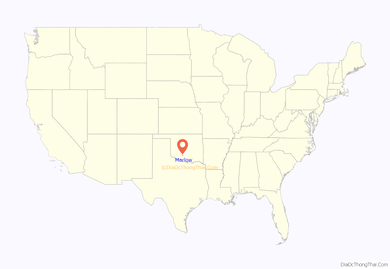
Marlow location map. Where is Marlow city?
History
Born along the Chisholm Trail and on the banks of Wild Horse Creek the legend of the Marlow family and the five Marlow brothers has been proven to be more fact than fiction.
Dr. Williamson Marlow and his wife, Martha Jane, a relative of Daniel Boone, first established a homestead in this area during the early 1880s. The site of the original Marlow family home is reported to have been located just north of Redbud Park.
Somewhat of a nomad by nature, Dr. Marlow provided medical treatment to the many settlers in this portion of Indian Territory and to many cowboys driving cattle up the Chisholm Trail. He also farmed while his sons reportedly herded horses, selling many of the animals to the U.S. Army located at neighboring Ft. Sill. Dr. Marlow died in 1885.
In 1888 his five sons were accused of horse-stealing, a charge which was later proven to be unfounded. Four of the brothers (Charlie, Alfred, Boone and Lewellyn) were arrested and transported by a U.S. Deputy Marshall to the Federal Court in Graham, Texas, for trial.
Hearing of this brother’s arrest, George Marlow took the entire family to Graham to clear his brothers but soon found himself behind bars.
Boone Marlow ultimately escaped and returned to the Marlow area in Indian Territory, while his four brothers were scheduled to be transported to an ostensibly safer jail in Weatherford, Texas.
Several attempts were made by Graham citizens and law enforcement officials to lynch the Marlows. On the night of January 19, 1889, the brothers were shackled in pairs—George to Lewellyn and Charlie to Alfred—for the trip to Weatherford.
When the group reached Dry Creek outside of Graham, a signal was given and a hidden mob opened fire on the seemingly defenseless Marlows.
The guards ran to join the mob while the brothers leaped from the wagon and armed themselves with guns taken from guards. In the vicious gunfight that followed, Lewellyn and Alfred were killed. Both George and Charlie were seriously wounded.
Retrieving a dead mob member’s knife, George Marlow unjointed his dead brother’s ankles. He and Charlie used a wagon to escape the ambush site.
Three members of the mob were also killed and a number of others wounded. Several members of the mob were later prosecuted and convicted for the assault upon the brothers.
Boone was later poisoned near Hell Creek, west of Marlow. His corpse was then shot in an attempt to obtain a $1,500 reward, but his killers, too, were brought to trial.
Alfred, Boone and Lewellyn are buried in a small cemetery at what was once Finis, Texas outside of Graham.
George and Charlie Marlow survived the attack, eventually moving their families to Colorado where they became outstanding citizens, serving as law enforcement officers.
In 1891, after sentencing mob members for their part in the attack, Federal Judge A. P. McCormick was quoted as saying: “This is the first time in the annals of history where unarmed prisoners, shackled together, ever repelled a mob. Such cool courage that preferred to fight against such great odds and die, if at all, in glorious battle rather than die ignominiously by a frenzied mob, deserves to be commemorated in song and story.”
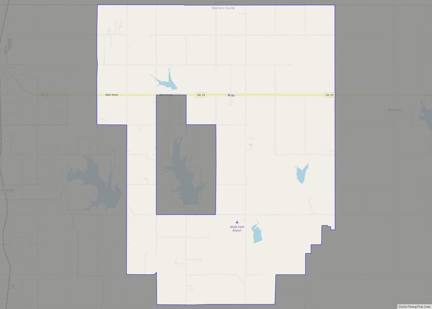
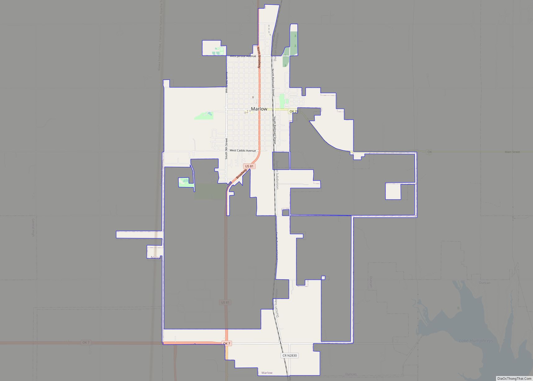
Marlow Road Map
Marlow city Satellite Map
Geography
Marlow is located in northern Stephens County, in the southern part of the state, at 34°38′36″N 97°57′32″W / 34.64333°N 97.95889°W / 34.64333; -97.95889 (34.643410, -97.958806).
According to the United States Census Bureau, the city has a total area of 7.1 square miles (18 km), of which 7.1 square miles (18 km) is land and 0.14% is water.
See also
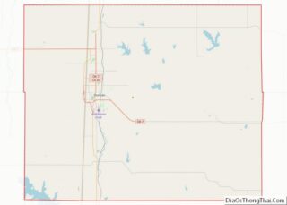
Map of Oklahoma State and its subdivision:- Adair
- Alfalfa
- Atoka
- Beaver
- Beckham
- Blaine
- Bryan
- Caddo
- Canadian
- Carter
- Cherokee
- Choctaw
- Cimarron
- Cleveland
- Coal
- Comanche
- Cotton
- Craig
- Creek
- Custer
- Delaware
- Dewey
- Ellis
- Garfield
- Garvin
- Grady
- Grant
- Greer
- Harmon
- Harper
- Haskell
- Hughes
- Jackson
- Jefferson
- Johnston
- Kay
- Kingfisher
- Kiowa
- Latimer
- Le Flore
- Lincoln
- Logan
- Love
- Major
- Marshall
- Mayes
- McClain
- McCurtain
- McIntosh
- Murray
- Muskogee
- Noble
- Nowata
- Okfuskee
- Oklahoma
- Okmulgee
- Osage
- Ottawa
- Pawnee
- Payne
- Pittsburg
- Pontotoc
- Pottawatomie
- Pushmataha
- Roger Mills
- Rogers
- Seminole
- Sequoyah
- Stephens
- Texas
- Tillman
- Tulsa
- Wagoner
- Washington
- Washita
- Woods
- Woodward
- Alabama
- Alaska
- Arizona
- Arkansas
- California
- Colorado
- Connecticut
- Delaware
- District of Columbia
- Florida
- Georgia
- Hawaii
- Idaho
- Illinois
- Indiana
- Iowa
- Kansas
- Kentucky
- Louisiana
- Maine
- Maryland
- Massachusetts
- Michigan
- Minnesota
- Mississippi
- Missouri
- Montana
- Nebraska
- Nevada
- New Hampshire
- New Jersey
- New Mexico
- New York
- North Carolina
- North Dakota
- Ohio
- Oklahoma
- Oregon
- Pennsylvania
- Rhode Island
- South Carolina
- South Dakota
- Tennessee
- Texas
- Utah
- Vermont
- Virginia
- Washington
- West Virginia
- Wisconsin
- Wyoming
