Marshall is a rural town in Logan County, Oklahoma, United States, and is an outer suburb/exurb on the northern edge of the Oklahoma City Metropolitan Statistical Area. The population was 278 at the 2010 census, a 5.7 percent increase from the figure of 258 in 2000. Sperling Bestplaces lists the Marshall (zip 73056) population at 580.
| Name: | Marshall town |
|---|---|
| LSAD Code: | 43 |
| LSAD Description: | town (suffix) |
| State: | Oklahoma |
| County: | Logan County |
| Elevation: | 1,056 ft (322 m) |
| Total Area: | 0.64 sq mi (1.65 km²) |
| Land Area: | 0.64 sq mi (1.65 km²) |
| Water Area: | 0.00 sq mi (0.00 km²) |
| Total Population: | 210 |
| Population Density: | 330.19/sq mi (127.56/km²) |
| ZIP code: | 73056 |
| Area code: | 580 |
| FIPS code: | 4046650 |
| GNISfeature ID: | 1095152 |
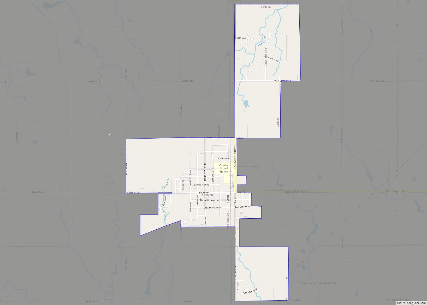
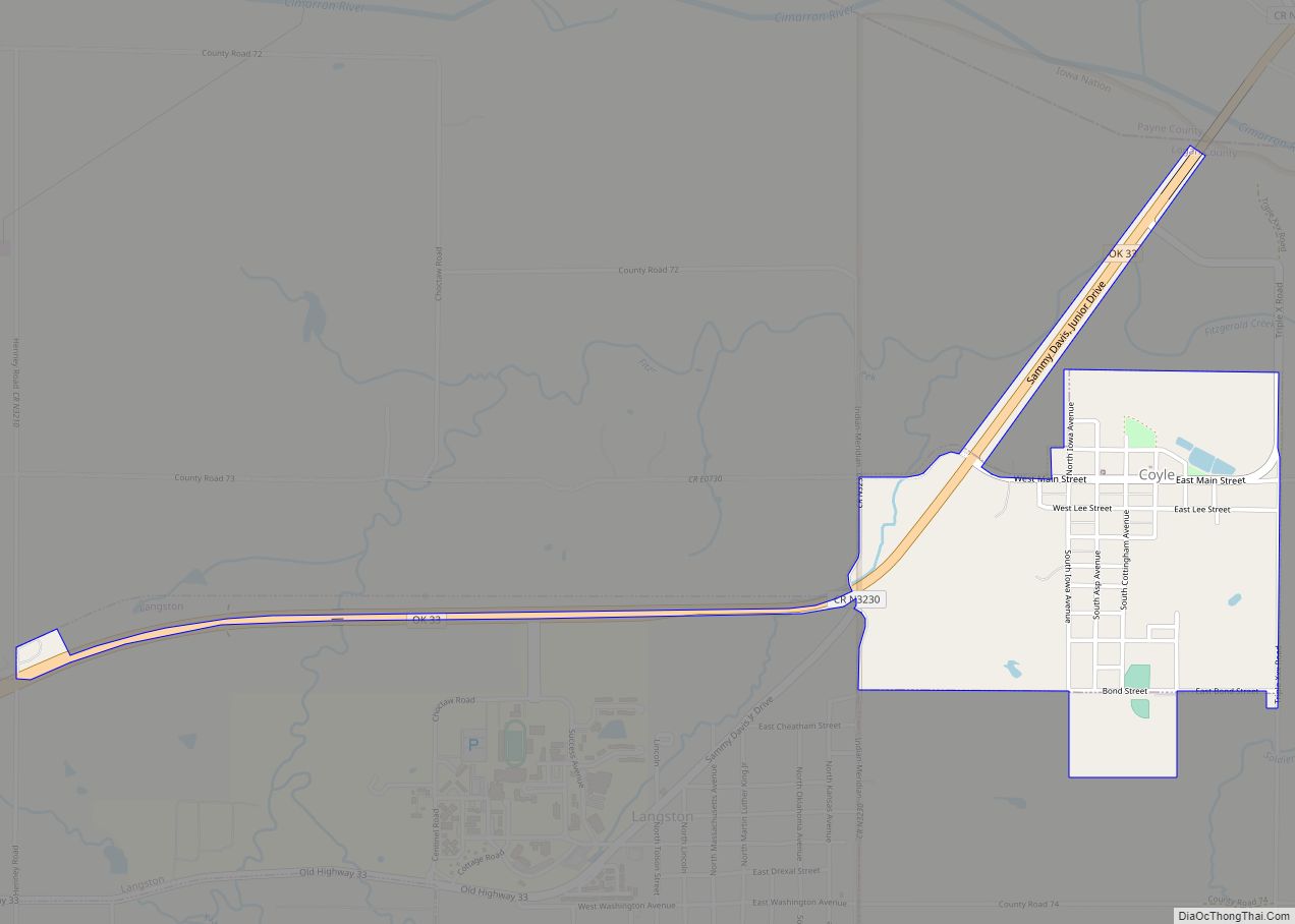
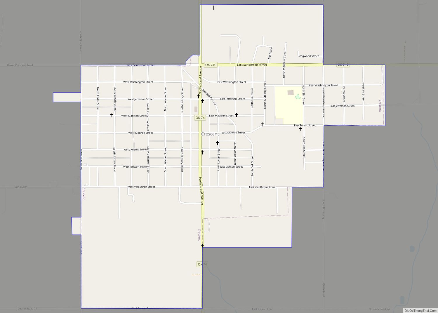
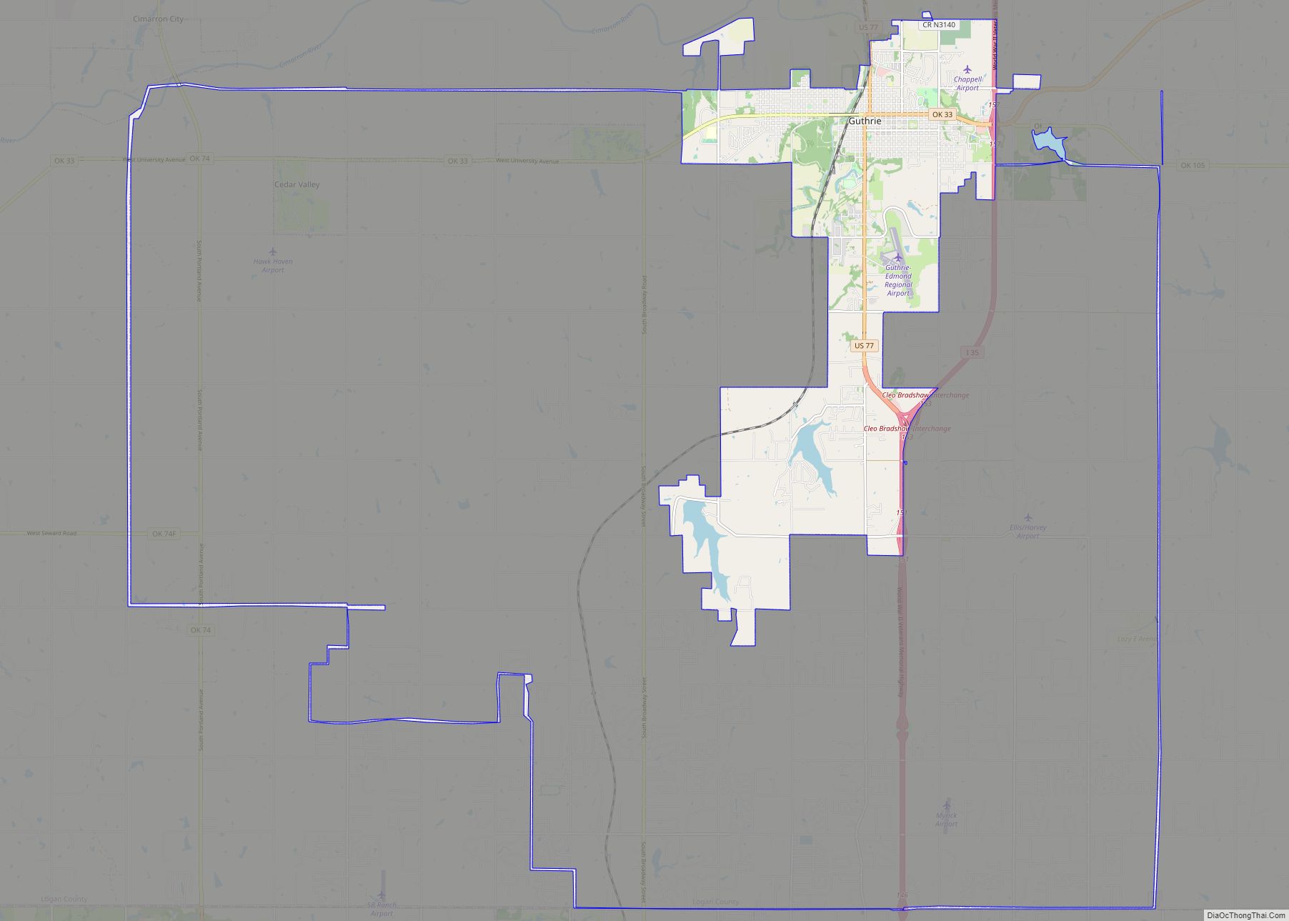
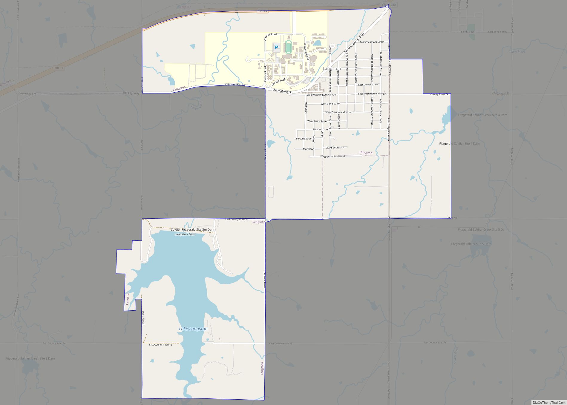
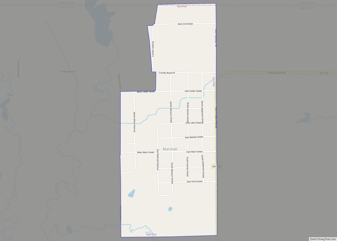
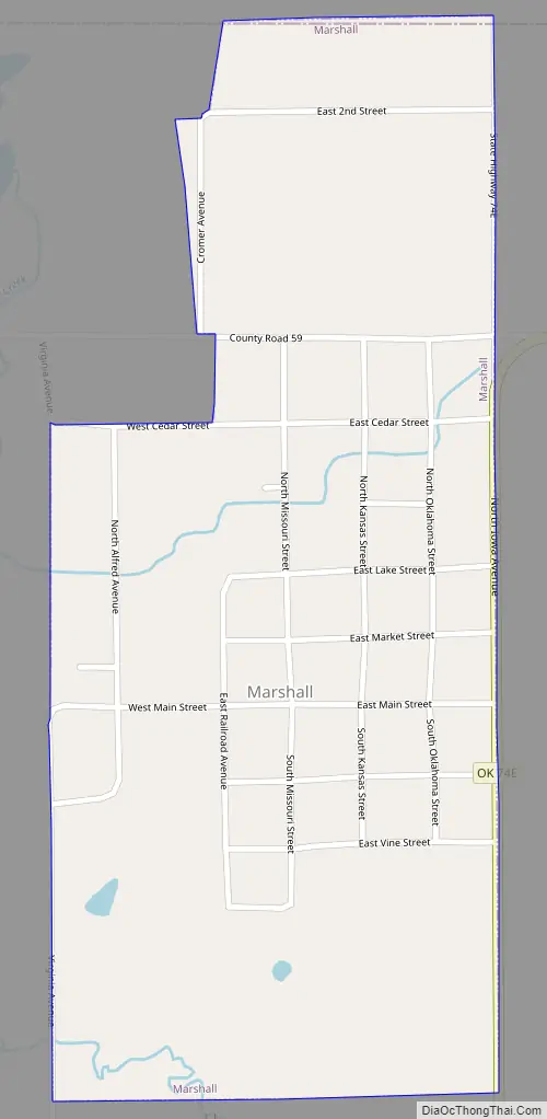
Online Interactive Map
Click on ![]() to view map in "full screen" mode.
to view map in "full screen" mode.
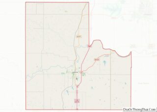
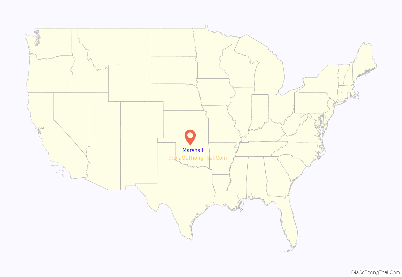
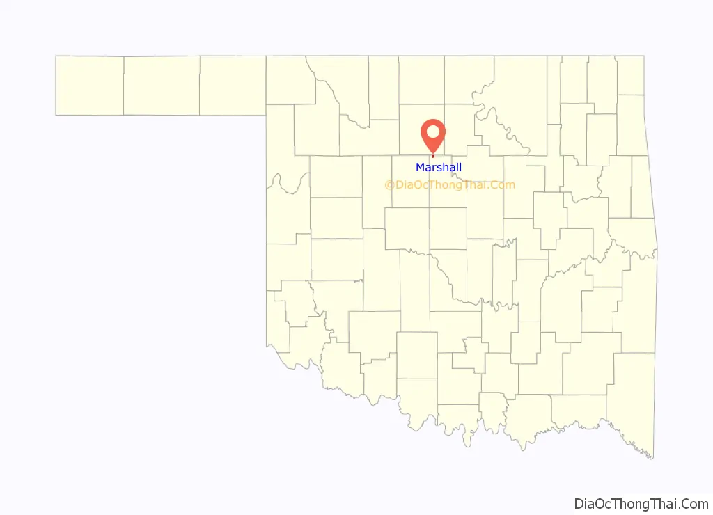
Marshall location map. Where is Marshall town?
History
Marshall began as a community when the Unassigned Lands were opened for settlement in 1889. Sylvan T. Rice opened a post office in 1890. Rice was from Marshalltown, Iowa and named the new town Marshall after his home town. He also opened the first store in 1894. The town boomed after the opening of the Cherokee Strip in 1893.
The Denver, Enid and Gulf Railroad built a track nearby a few years later in 1902 a 1/2 mile from town so the entire town moved to be near the railroad. Marshall was incorporated in 1903. The railroad was bought by the Eastern Oklahoma Railroad Company in 1907, which resold it to the Atchison, Topeka & Santa Fe Railroad in the same year.
Famous Oklahoma author Dr. Angie Debo was from Marshall, Oklahoma. She died in 1988. She has written many books about the fate of Indians. Her portrait hangs in the Oklahoma Capitol. Miss Debo wrote a book called Prairie City which was loosely based on Marshall. Marshall started a town celebration in 1968 in honor of Miss Debo called Prairie City Days.
Marshall was known as the school band “capital” of the world in the 1940s. Area schools would come to compete and march down main street. It was known as “The Biggest Little Band Festival in the World” and was held from 1938 to 1951. It was founded by Tibby Shades (school superintendent) and Ashley Alexander Sr. (band director). It was cancelled in 1952 due to the state band contest being scheduled on the same date and was never revived. It grew to such magnitude that WKY radio out of Oklahoma City broadcast the marching band performances held on main street. The Oklahoma Highway Patrol increased participation on festival day to assist with the traffic situation. Fifty-Seven towns converged on Marshall in 1951 to participate in the festival with sixty-five performing groups. It is believed 5,000 participated in the 1951 festival.
Marshall’s two-story brick school was built in 1904 and in the 1950s the second story was torn down and classes was built around the first story.
Marshall’s had its last high school graduating class in 1976. It continued as a middle school (grades 5–8) until 1988 when the school closed its doors for good. Today most of the roof has fallen in. The gymnasium is the only part of the school that is still in good shape. Today it is used for the annual volunteer firemen’s rib dinner. People come from all around to attend and it averages over 1000 people.
Marshall is said to have the widest main street in the USA. It is said that a team of horses made a “U” turn and that determined how wide they made main street. Also, it is said that when the town was moved 1/2 mile west in order to be located adjacent to the railroad, the city fathers, when laying out the town site, decided to make the streets wide enough to accommodate angle parking at the curbs, two lanes of traffic, and sufficient room for street cars. It was thought if Marshall should ever become a large city like Chicago that having the streets wide enough would be of great benefit. The main street lacks six feet being as wide as a football field which was perfect for marching band performances during the band festival.
Outlaw Dick Yeager alias Zip Wyatt was shot and killed 5 miles (8.0 km) SW of Marshall. Miss Debo wrote in one of her books that the Dalton gang stopped in one time and bought supplies from the general merchandise store and left with no problems.
There are two cemeteries in Marshall. One that used to be called Pleasant Ridge or today called South Marshall IOOF and the North Marshall IOOF.
Back in the town’s prime between 1900 and 1980 it had two gas stations, a hotel, 5-dime store, drug store, cafe, bar, grocery store, laundromat, hardware store, lawyer office, bank, doctor office, blacksmith, barber shop, beauty shop, fire station, arcade, movie theatre, two car dealers and farmers’ co-op. Today all that is left is the co-op and post office. Where main street was once lined with cars on Saturdays is now pretty much a ghost town. Most of the building downtown are or have fallen down or empty. During the 1980s the oil bust happened and the town hasn’t been the same ever since.
Marshall is mostly populated by farmers and people who commute to nearby cities to work. The main agriculture is wheat and cattle.
In 1927, SW of Marshall, an oil field was found called Roxanna. Production was found in the Ordovician Wilcox Sand at depths of ~6000′ with initial production rates as high as 2,450 bbl/d (390 m/d). A boom town started and oil hands filtered into Marshall. There is nothing left of Roxanna today.
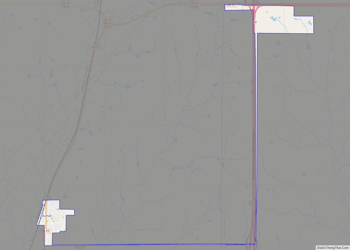
Marshall Road Map
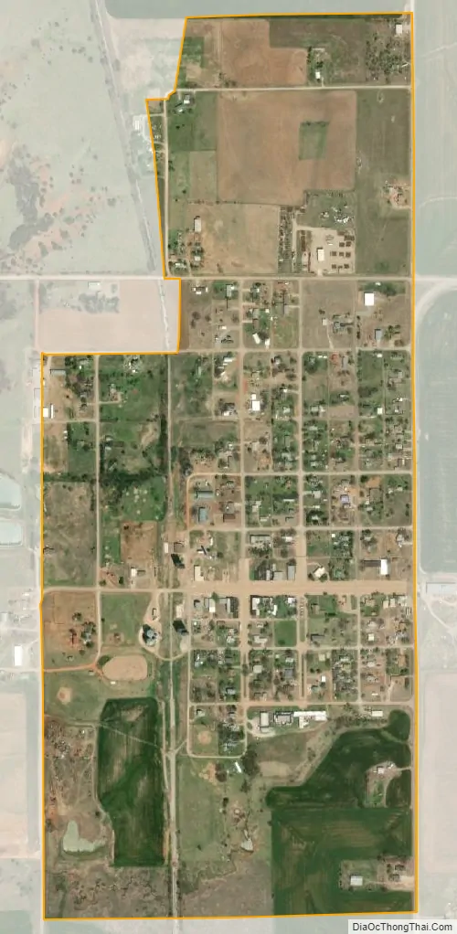
Marshall city Satellite Map
Geography
Marshall is located at 36°9′20″N 97°37′30″W / 36.15556°N 97.62500°W / 36.15556; -97.62500 (36.155450, -97.625114).
According to the United States Census Bureau, the town has a total area of 0.5 square mile (1.3 km), all land.
See also
Map of Oklahoma State and its subdivision:- Adair
- Alfalfa
- Atoka
- Beaver
- Beckham
- Blaine
- Bryan
- Caddo
- Canadian
- Carter
- Cherokee
- Choctaw
- Cimarron
- Cleveland
- Coal
- Comanche
- Cotton
- Craig
- Creek
- Custer
- Delaware
- Dewey
- Ellis
- Garfield
- Garvin
- Grady
- Grant
- Greer
- Harmon
- Harper
- Haskell
- Hughes
- Jackson
- Jefferson
- Johnston
- Kay
- Kingfisher
- Kiowa
- Latimer
- Le Flore
- Lincoln
- Logan
- Love
- Major
- Marshall
- Mayes
- McClain
- McCurtain
- McIntosh
- Murray
- Muskogee
- Noble
- Nowata
- Okfuskee
- Oklahoma
- Okmulgee
- Osage
- Ottawa
- Pawnee
- Payne
- Pittsburg
- Pontotoc
- Pottawatomie
- Pushmataha
- Roger Mills
- Rogers
- Seminole
- Sequoyah
- Stephens
- Texas
- Tillman
- Tulsa
- Wagoner
- Washington
- Washita
- Woods
- Woodward
- Alabama
- Alaska
- Arizona
- Arkansas
- California
- Colorado
- Connecticut
- Delaware
- District of Columbia
- Florida
- Georgia
- Hawaii
- Idaho
- Illinois
- Indiana
- Iowa
- Kansas
- Kentucky
- Louisiana
- Maine
- Maryland
- Massachusetts
- Michigan
- Minnesota
- Mississippi
- Missouri
- Montana
- Nebraska
- Nevada
- New Hampshire
- New Jersey
- New Mexico
- New York
- North Carolina
- North Dakota
- Ohio
- Oklahoma
- Oregon
- Pennsylvania
- Rhode Island
- South Carolina
- South Dakota
- Tennessee
- Texas
- Utah
- Vermont
- Virginia
- Washington
- West Virginia
- Wisconsin
- Wyoming