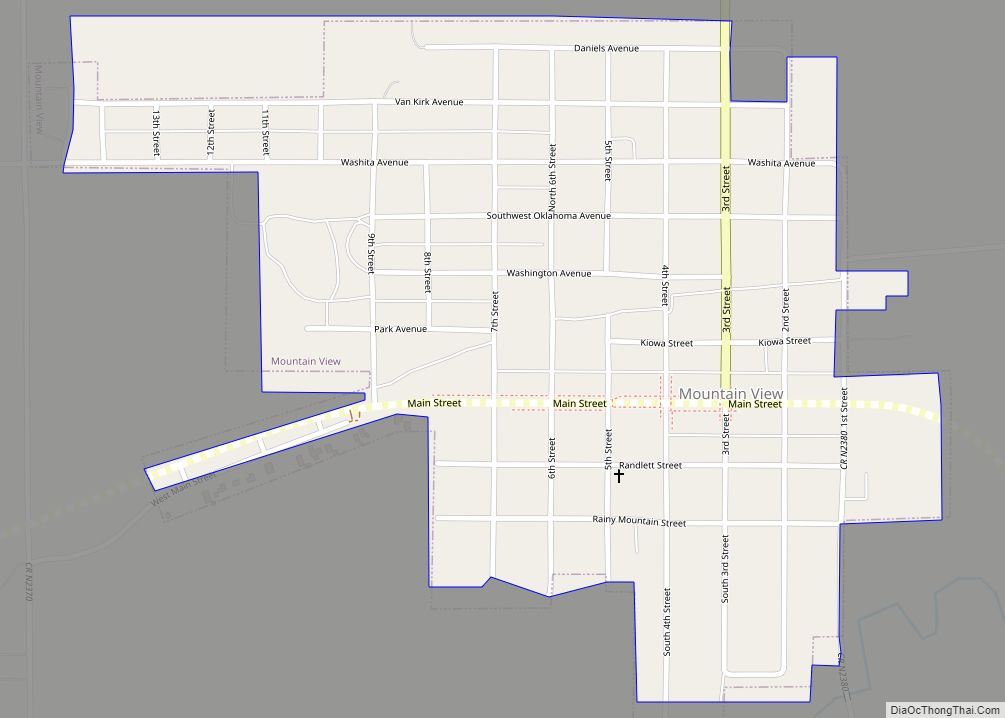
Mountain View is a town in Kiowa County, Oklahoma, United States. The population was 795 at the 2010 census, a decline of 9.7 percent from 880 in 2000.
| Name: | Mountain View town |
|---|---|
| LSAD Code: | 43 |
| LSAD Description: | town (suffix) |
| State: | Oklahoma |
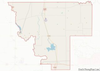
| County: | Kiowa County |
| Elevation: | 1,335 ft (407 m) |
| Total Area: | 0.57 sq mi (1.47 km²) |
| Land Area: | 0.57 sq mi (1.47 km²) |
| Water Area: | 0.00 sq mi (0.00 km²) |
| Total Population: | 740 |
| Population Density: | 1,300.53/sq mi (502.09/km²) |
| ZIP code: | 73062 |
| Area code: | 580 |
| FIPS code: | 4049650 |
| GNISfeature ID: | 1095652 |
Online Interactive Map
Click on ![]() to view map in "full screen" mode.
to view map in "full screen" mode.
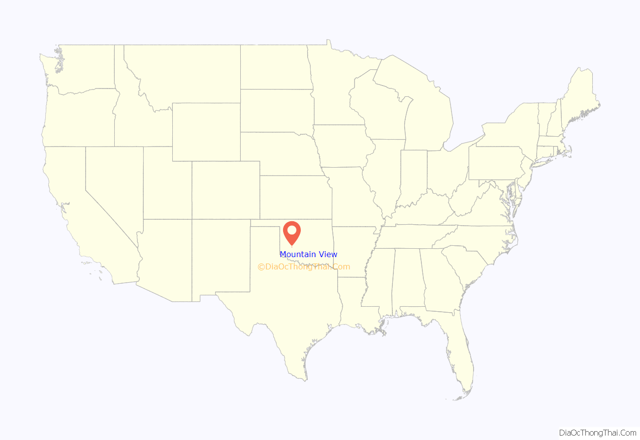
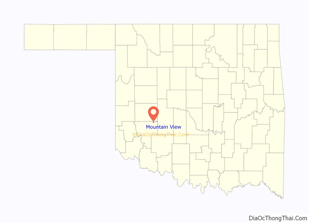
Mountain View location map. Where is Mountain View town?
History
The Chicago, Rock Island and Pacific Railroad (Rock Island) extended a line from Chickasha to the northern part of the Kiowa, Comanche and Apache Reservation in 1899. It terminated about two miles from an existing tent city called Oakdale, consisting of a store and post office on the former Cheyenne and Arapaho Reservation. The Oakdale post office was renamed Mountain View, honoring the nearby Wichita Mountains, on October 9, 1900.
In 1903, the entire town relocated to a site closer to the railroad. The move was completed in 1904. Nicknaming itself, “the City in the Woods,” the town became a point for transshipping Texas cattle on the Rock Island. Cattle were unloaded from trains and allowed to graze on Kiowa, Comanche and Apache Reservation land before resuming their journey to markets. By 1910, the town had a population of 855.
Jacob Aldolphus Bryce (Delf A. ‘Jelly’ Bryce), born 1906 at Mountain View, was an FBI agent significant for being an exceptional marksman and fast draw, and for his dress sense.
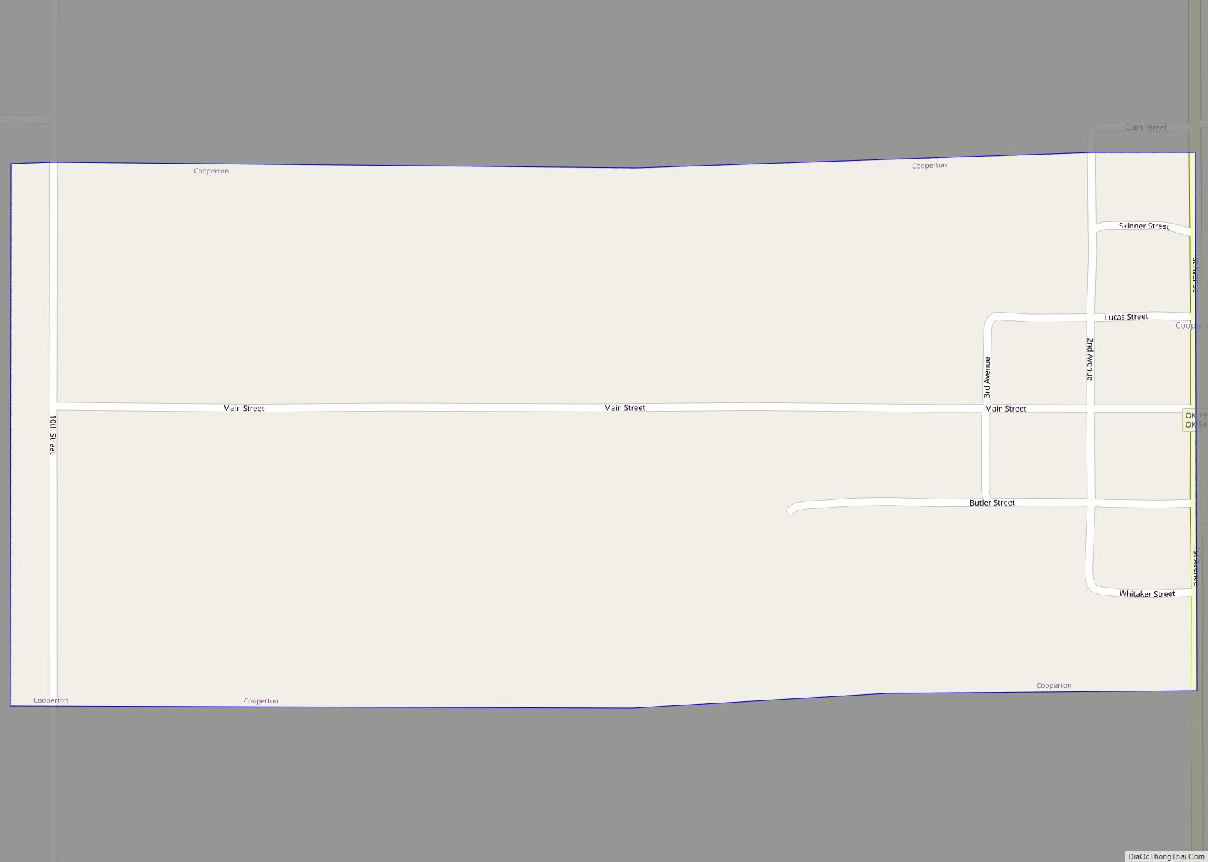
Mountain View Road Map
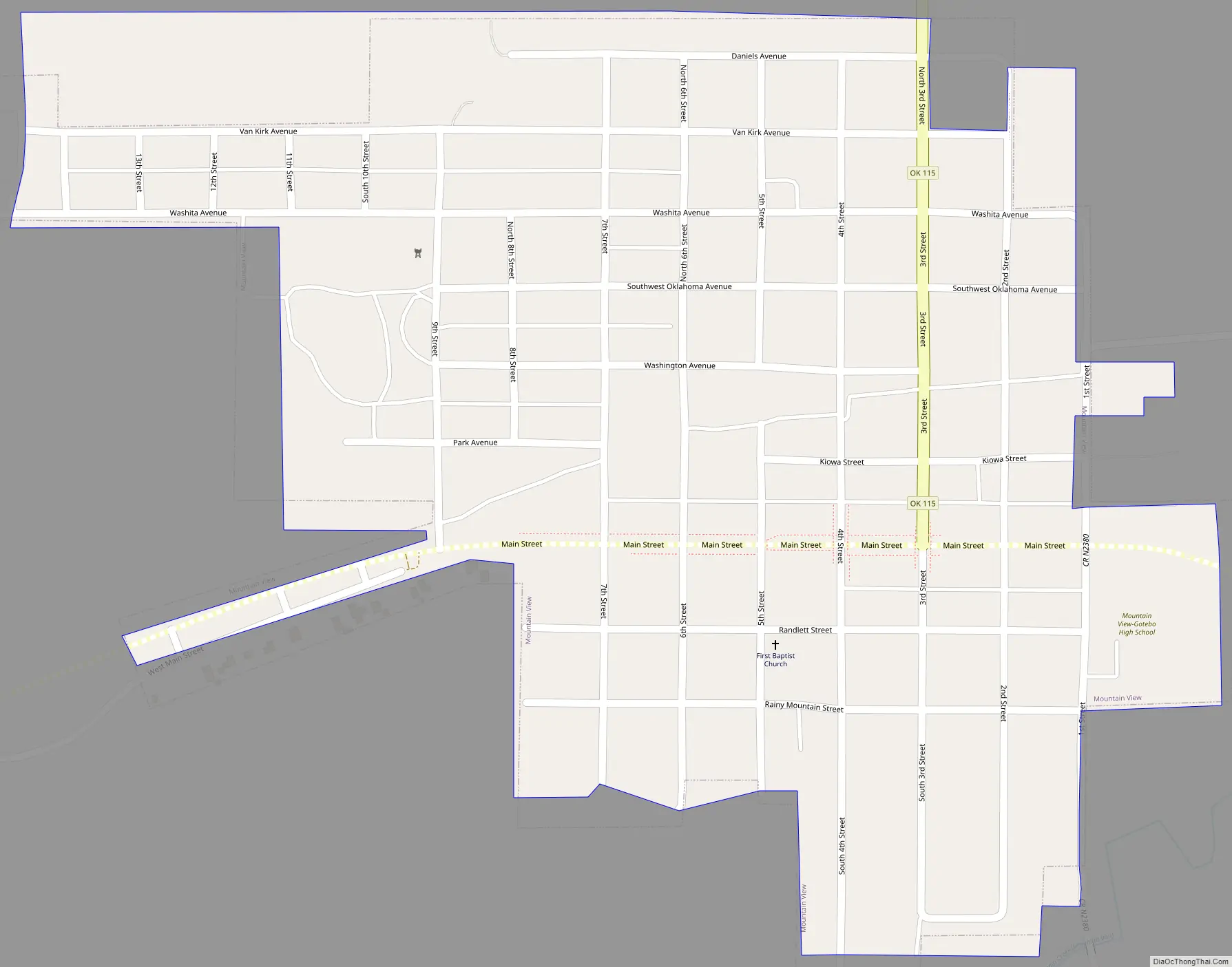
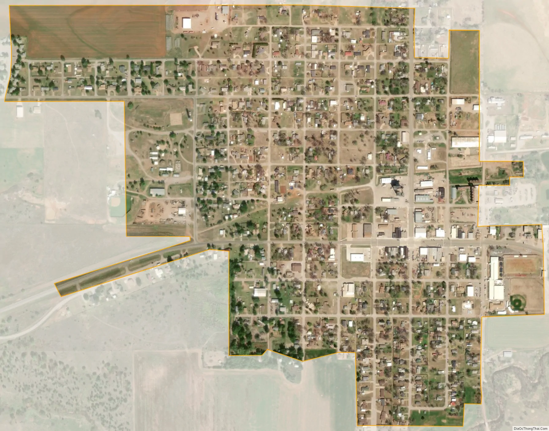
Mountain View city Satellite Map
Geography
Mountain View is located at 35°6′1″N 98°44′59″W / 35.10028°N 98.74972°W / 35.10028; -98.74972 (35.100293, -98.749601).
According to the United States Census Bureau, the town has a total area of 0.5 square mile (1.3 km), all land.
See also
Map of Oklahoma State and its subdivision:- Adair
- Alfalfa
- Atoka
- Beaver
- Beckham
- Blaine
- Bryan
- Caddo
- Canadian
- Carter
- Cherokee
- Choctaw
- Cimarron
- Cleveland
- Coal
- Comanche
- Cotton
- Craig
- Creek
- Custer
- Delaware
- Dewey
- Ellis
- Garfield
- Garvin
- Grady
- Grant
- Greer
- Harmon
- Harper
- Haskell
- Hughes
- Jackson
- Jefferson
- Johnston
- Kay
- Kingfisher
- Kiowa
- Latimer
- Le Flore
- Lincoln
- Logan
- Love
- Major
- Marshall
- Mayes
- McClain
- McCurtain
- McIntosh
- Murray
- Muskogee
- Noble
- Nowata
- Okfuskee
- Oklahoma
- Okmulgee
- Osage
- Ottawa
- Pawnee
- Payne
- Pittsburg
- Pontotoc
- Pottawatomie
- Pushmataha
- Roger Mills
- Rogers
- Seminole
- Sequoyah
- Stephens
- Texas
- Tillman
- Tulsa
- Wagoner
- Washington
- Washita
- Woods
- Woodward
- Alabama
- Alaska
- Arizona
- Arkansas
- California
- Colorado
- Connecticut
- Delaware
- District of Columbia
- Florida
- Georgia
- Hawaii
- Idaho
- Illinois
- Indiana
- Iowa
- Kansas
- Kentucky
- Louisiana
- Maine
- Maryland
- Massachusetts
- Michigan
- Minnesota
- Mississippi
- Missouri
- Montana
- Nebraska
- Nevada
- New Hampshire
- New Jersey
- New Mexico
- New York
- North Carolina
- North Dakota
- Ohio
- Oklahoma
- Oregon
- Pennsylvania
- Rhode Island
- South Carolina
- South Dakota
- Tennessee
- Texas
- Utah
- Vermont
- Virginia
- Washington
- West Virginia
- Wisconsin
- Wyoming