Mutual is a town in Woodward County, Oklahoma, United States. The population was 61 at the 2010 census. Incorporated in 1908, the town suffered under the agricultural depression after World War I and saw only minimal growth during the 1970s and 1980s.
| Name: | Mutual town |
|---|---|
| LSAD Code: | 43 |
| LSAD Description: | town (suffix) |
| State: | Oklahoma |
| County: | Woodward County |
| Elevation: | 1,873 ft (571 m) |
| Total Area: | 0.27 sq mi (0.69 km²) |
| Land Area: | 0.27 sq mi (0.69 km²) |
| Water Area: | 0.00 sq mi (0.00 km²) |
| Total Population: | 63 |
| Population Density: | 236.84/sq mi (91.40/km²) |
| ZIP code: | 73853 |
| Area code: | 580 |
| FIPS code: | 4050150 |
| GNISfeature ID: | 1095729 |
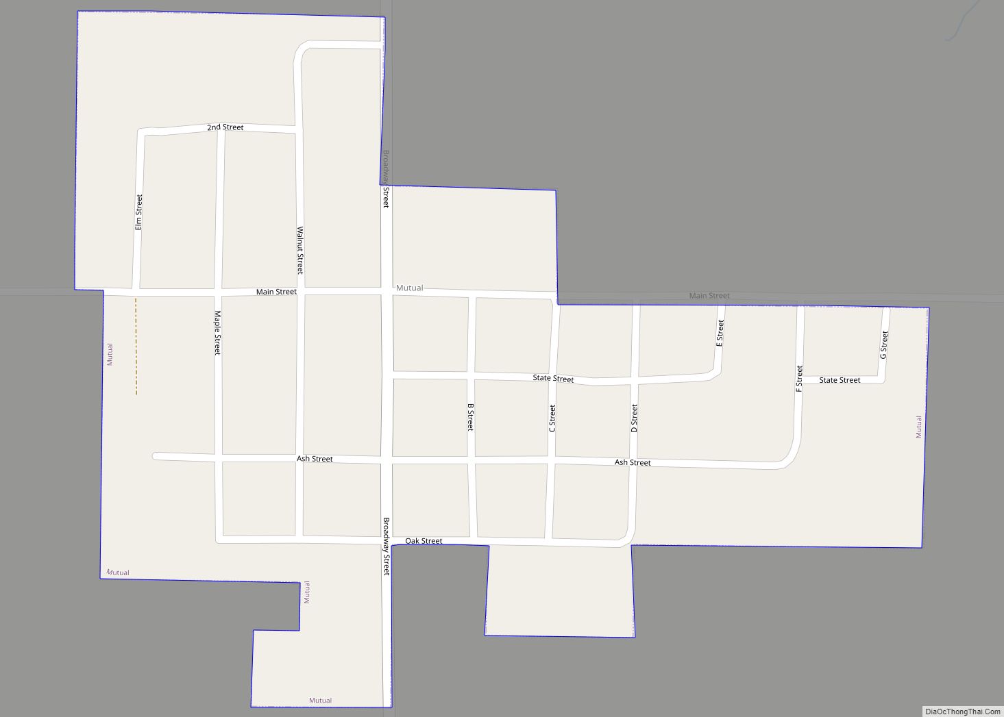
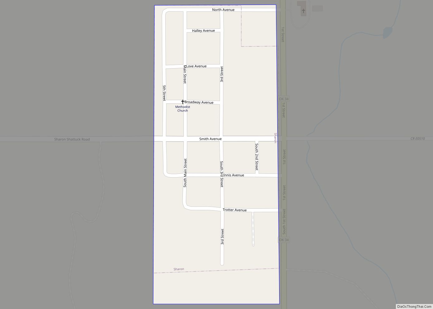
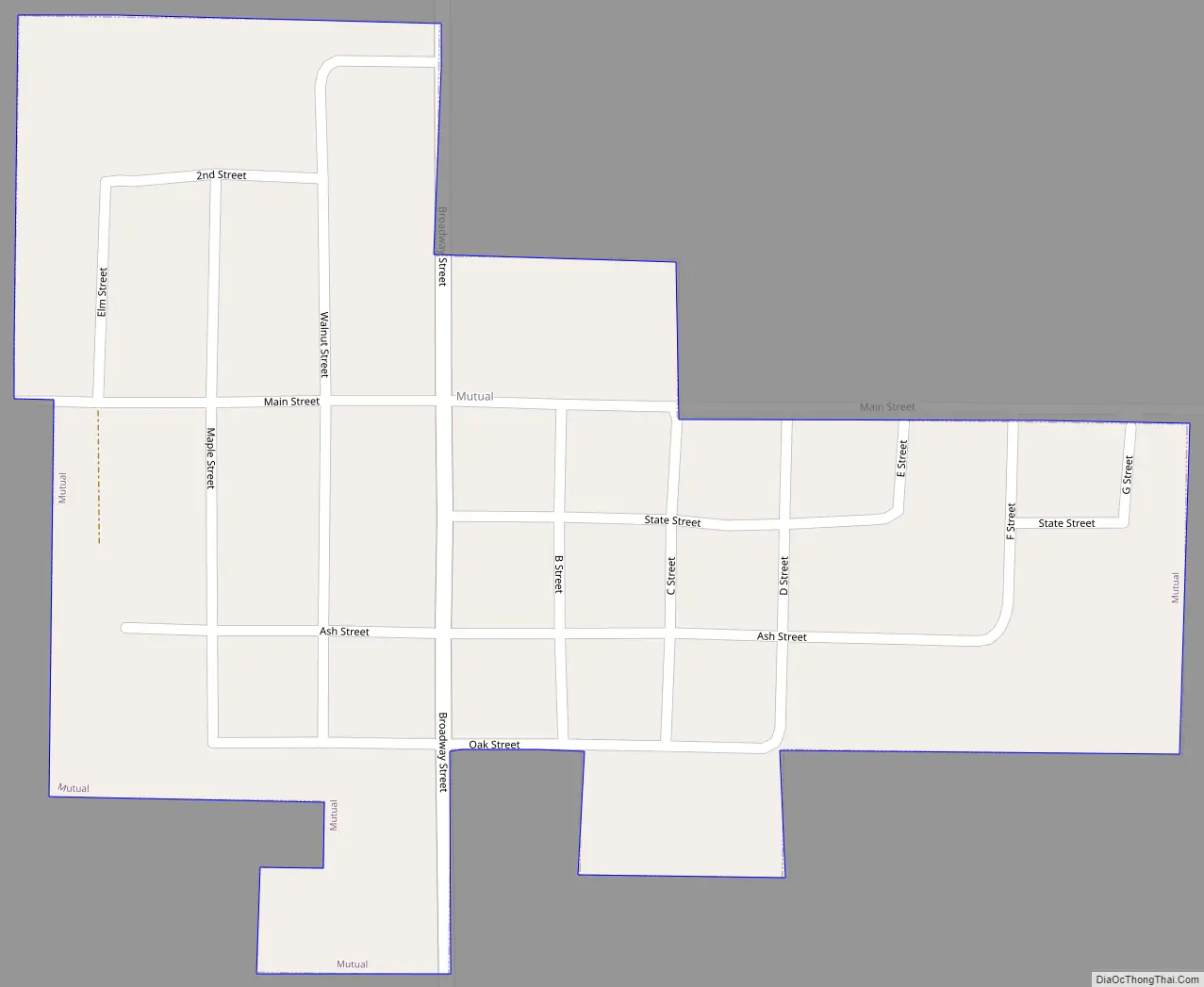
Online Interactive Map
Click on ![]() to view map in "full screen" mode.
to view map in "full screen" mode.
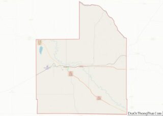
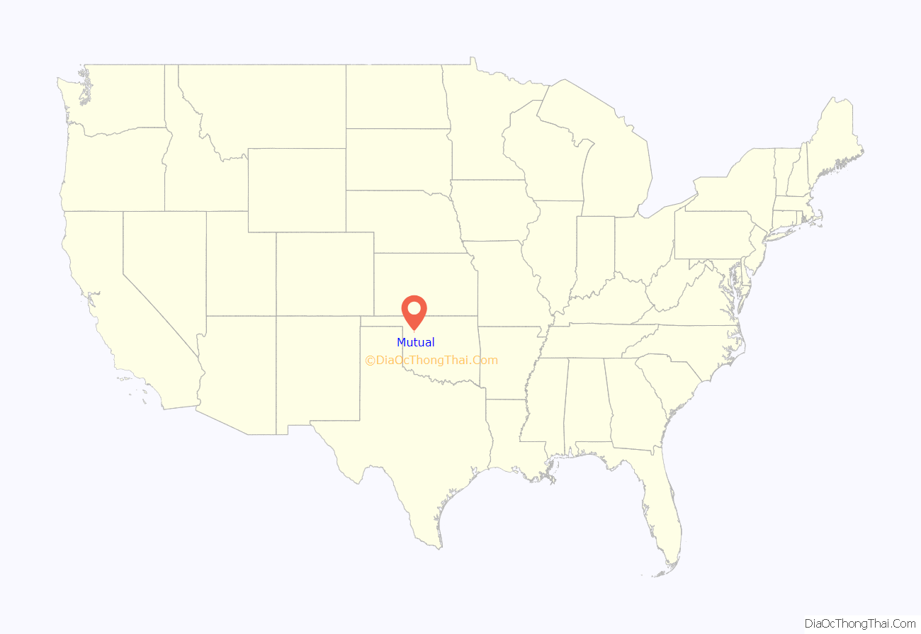
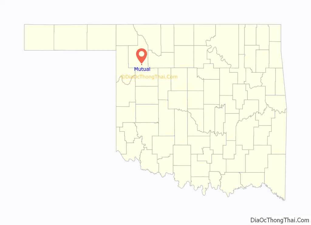
Mutual location map. Where is Mutual town?
History
A “Mutual” post office was designated on June 4, 1895. The town was incorporated in 1908. In 1910, the town had a two churches, a bank, a feed mill, a machine shop, and a dealer in poultry and dairy products. The town also had a hotel early on.
The town fared well until the post World War I agricultural depression and the construction of U.S. Highway 270, meant to bypass the town. The town continued to decline until petroleum exploration and production in the 1970s and 1980s gave it a short boost. Mutual ended the 20th century with a half dozen businesses and 76 residents, some of whom commute to Woodward or Seiling for work.
Mutual Road Map
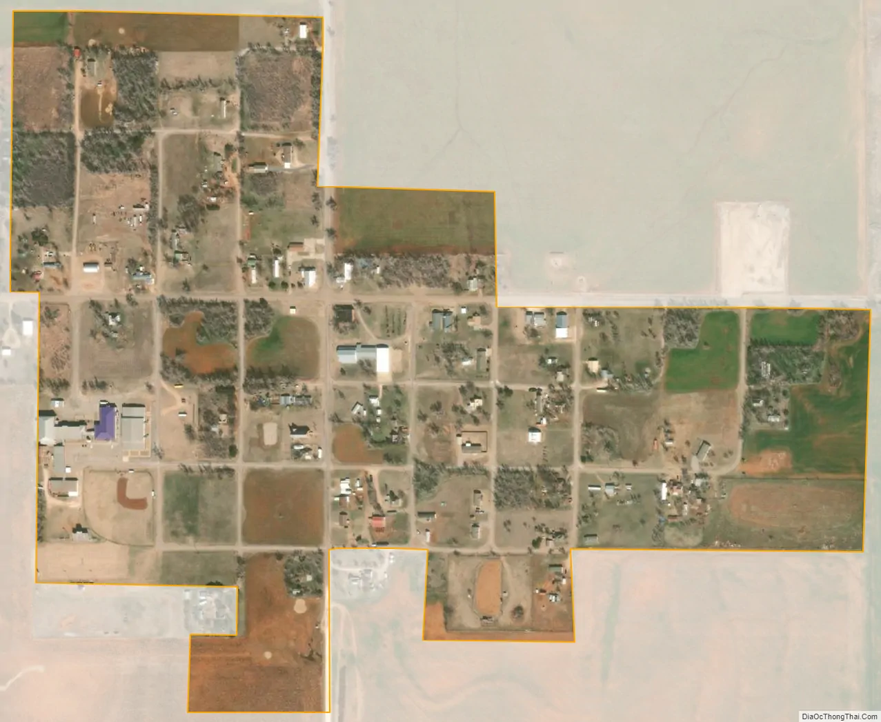
Mutual city Satellite Map
Geography
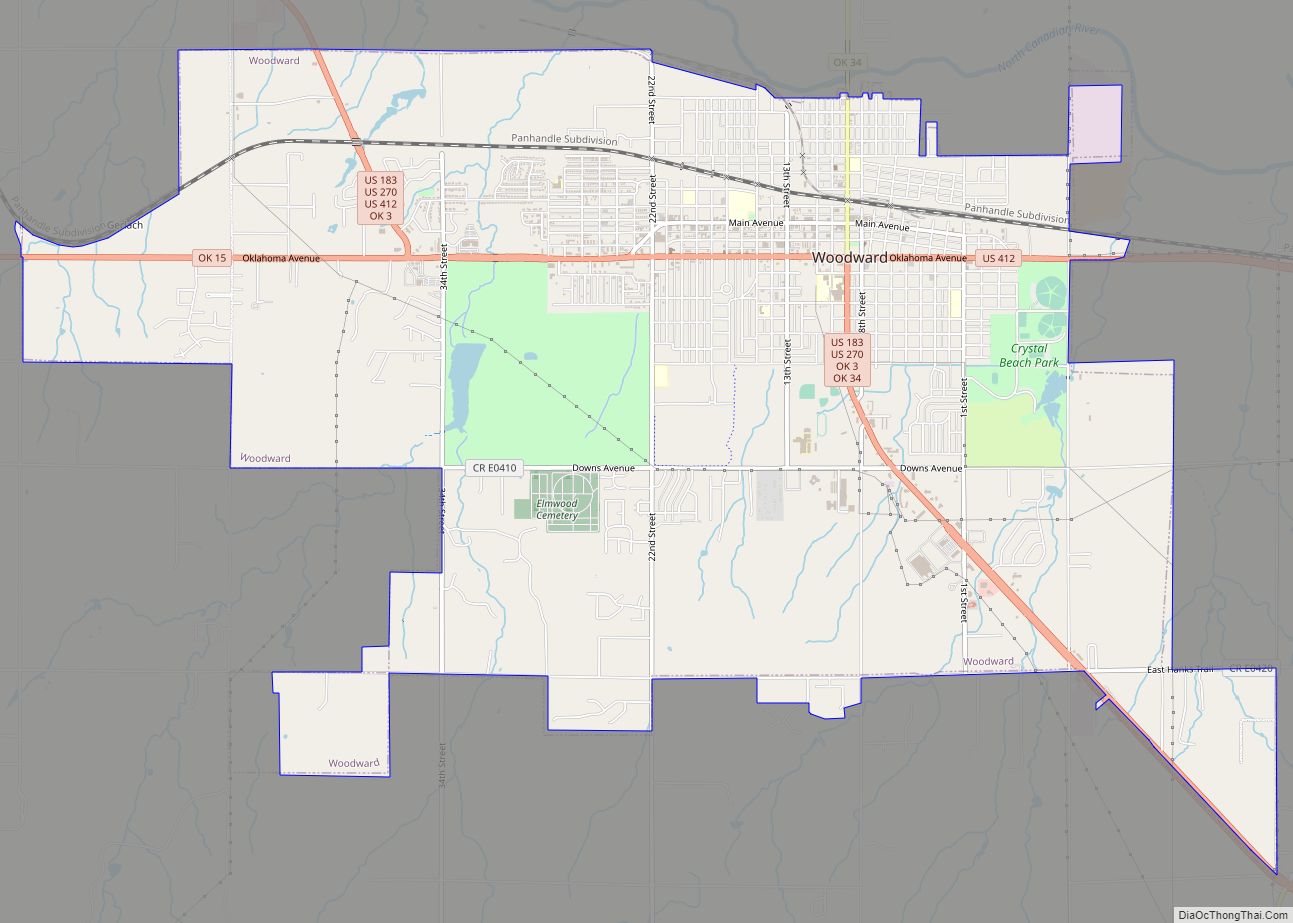
Mutual is located at 36°13′47″N 99°10′4″W / 36.22972°N 99.16778°W / 36.22972; -99.16778 (36.229816, -99.167704), approximately 19 miles southeast of Woodward, the county seat. According to the United States Census Bureau, the town has a total area of 0.3 square miles (0.78 km), all land.
See also
Map of Oklahoma State and its subdivision:- Adair
- Alfalfa
- Atoka
- Beaver
- Beckham
- Blaine
- Bryan
- Caddo
- Canadian
- Carter
- Cherokee
- Choctaw
- Cimarron
- Cleveland
- Coal
- Comanche
- Cotton
- Craig
- Creek
- Custer
- Delaware
- Dewey
- Ellis
- Garfield
- Garvin
- Grady
- Grant
- Greer
- Harmon
- Harper
- Haskell
- Hughes
- Jackson
- Jefferson
- Johnston
- Kay
- Kingfisher
- Kiowa
- Latimer
- Le Flore
- Lincoln
- Logan
- Love
- Major
- Marshall
- Mayes
- McClain
- McCurtain
- McIntosh
- Murray
- Muskogee
- Noble
- Nowata
- Okfuskee
- Oklahoma
- Okmulgee
- Osage
- Ottawa
- Pawnee
- Payne
- Pittsburg
- Pontotoc
- Pottawatomie
- Pushmataha
- Roger Mills
- Rogers
- Seminole
- Sequoyah
- Stephens
- Texas
- Tillman
- Tulsa
- Wagoner
- Washington
- Washita
- Woods
- Woodward
- Alabama
- Alaska
- Arizona
- Arkansas
- California
- Colorado
- Connecticut
- Delaware
- District of Columbia
- Florida
- Georgia
- Hawaii
- Idaho
- Illinois
- Indiana
- Iowa
- Kansas
- Kentucky
- Louisiana
- Maine
- Maryland
- Massachusetts
- Michigan
- Minnesota
- Mississippi
- Missouri
- Montana
- Nebraska
- Nevada
- New Hampshire
- New Jersey
- New Mexico
- New York
- North Carolina
- North Dakota
- Ohio
- Oklahoma
- Oregon
- Pennsylvania
- Rhode Island
- South Carolina
- South Dakota
- Tennessee
- Texas
- Utah
- Vermont
- Virginia
- Washington
- West Virginia
- Wisconsin
- Wyoming