Nichols Hills is a city in Oklahoma County, Oklahoma, United States, and a part of the Oklahoma City metropolitan area. The population was 3,870 as of the 2020 census, a 4.3% increase from 2010.
| Name: | Nichols Hills city |
|---|---|
| LSAD Code: | 25 |
| LSAD Description: | city (suffix) |
| State: | Oklahoma |
| County: | Oklahoma County |
| Elevation: | 1,217 ft (371 m) |
| Total Area: | 1.98 sq mi (5.13 km²) |
| Land Area: | 1.97 sq mi (5.11 km²) |
| Water Area: | 0.01 sq mi (0.03 km²) |
| Total Population: | 3,870 |
| Population Density: | 1,962.47/sq mi (757.67/km²) |
| ZIP code: | 73116, 73120 |
| Area code: | 405 |
| FIPS code: | 4051800 |
| GNISfeature ID: | 1095866 |
| Website: | http://www.nicholshills.net |
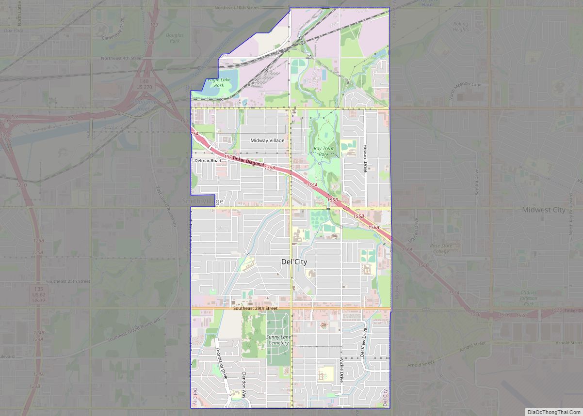
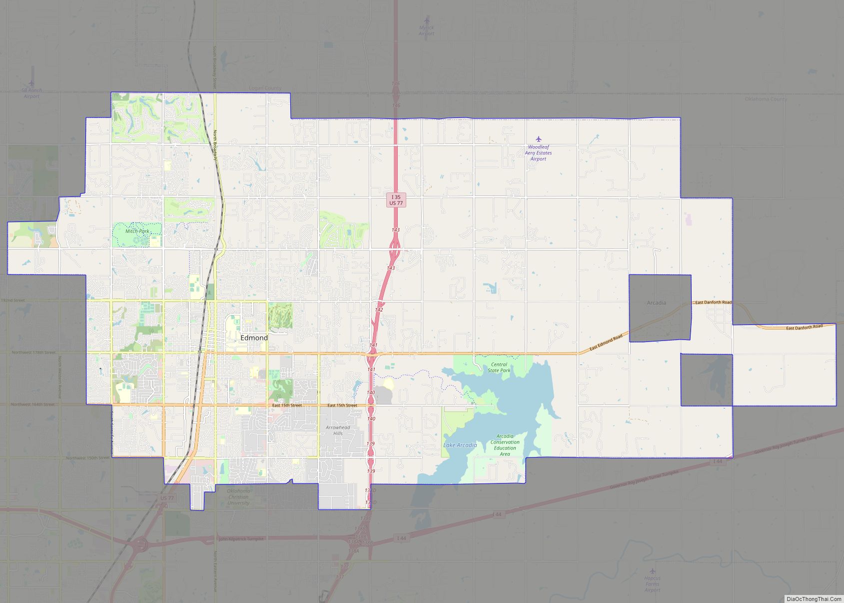
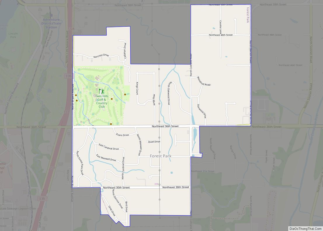
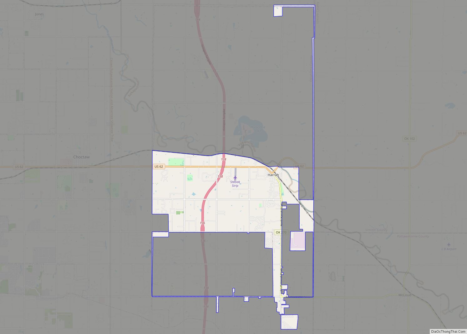
Online Interactive Map
Click on ![]() to view map in "full screen" mode.
to view map in "full screen" mode.
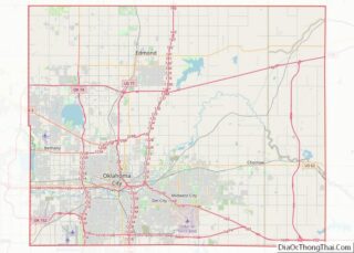
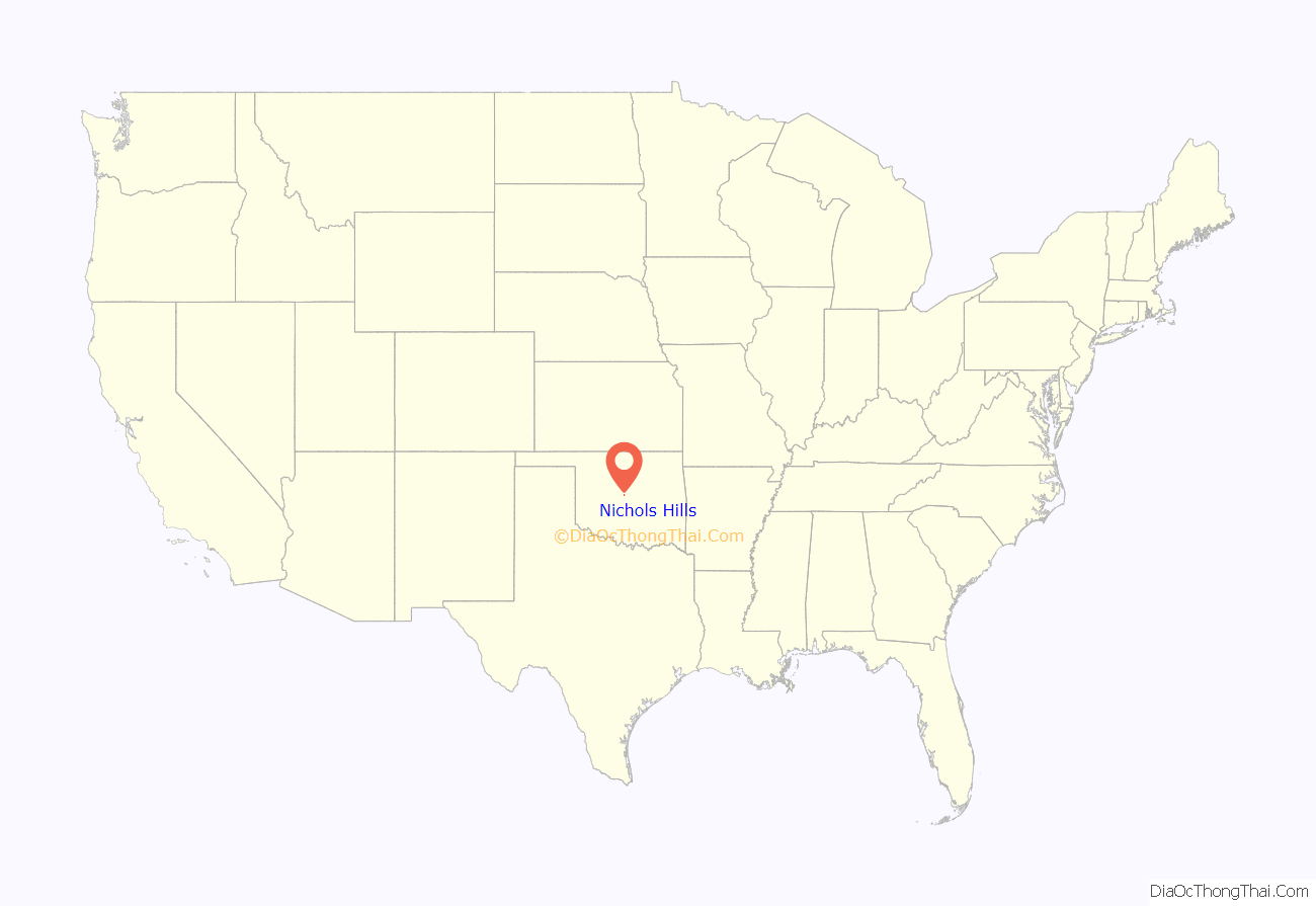
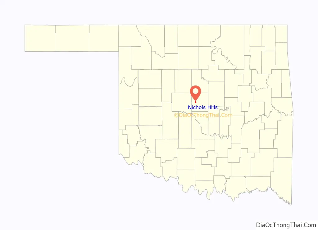
Nichols Hills location map. Where is Nichols Hills city?
History
The 1,280 acres now known as Nichols Hills were developed as an exclusive residential area by Dr. G.A. Nichols in 1929. Between 1907 and 1929, Dr. Nichols, an Oklahoma City real estate pioneer, developed the University, Paseo Arts District, Military Park, Central Park, Winans, University Place, Gatewood, Harndale, Nichols University Place and Lincoln Terrace neighborhoods of Oklahoma City and designed the city of Nicoma Park, Oklahoma.
By 1928, Dr. Nichols saw many Oklahoma City residential neighborhoods being encroached by the Oklahoma City Oil Field and industrial districts. Recognizing the importance of protecting home owners, Dr. Nichols developed Nichols Hills by placing restrictions on undesirable commercial activity while at the same time comprehending the need for commercial shopping districts within the city. Dr. Nichols hired Hare and Hare, a Kansas City, Missouri landscape architecture firm known for its landscape designs for Kansas City’s Country Club Plaza and Nelson-Atkins Museum of Art, to design the city in such a way as to follow the natural terrain of the countryside. The distinctive curving streets, named after English towns, were punctuated by small and large parks, two golf courses, bridle paths, a polo field, a club house, and tennis courts located throughout the city. Commercial districts were located by Dr. Nichols on the perimeter of the city. Nichols Hills was founded as a municipality in September 1929 and grew when Dr. Nichols dedicated additional property to the city.
During the early 1930s, The Great Depression took its toll on Nichols Hills’ finances and large investors in Nichols Hills’ property became delinquent on their taxes. Nichols Hills petitioned Oklahoma City for annexation, but was refused. The refusal awakened the citizens of Nichols Hills, who thereafter embarked on a capital and beautification campaign that ultimately led to significant manor and upscale residential development after World War II.
By 1950, and after its failure to annex Nichols Hills, Oklahoma City began annexing the land surrounding Nichols Hills including some property which was originally platted by Dr. Nichols as part of Nichols Hills. Nichols Hills is now surrounded entirely by Oklahoma City on the south, east and west, and The Village on the north. In 1959, thwarting a potential annexation from Oklahoma City, the first city charter was formed. Since its inception, Nichols Hills has maintained strict land use restrictions and zoning ordinances.
Known for its quality housing, Nichols Hills and its citizens maintain parks running throughout the city. The city is home to the Oklahoma City Golf and Country Club which was designed by Perry Maxwell.
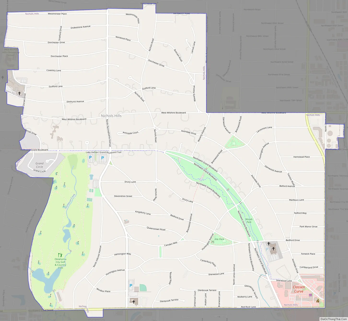
Nichols Hills Road Map
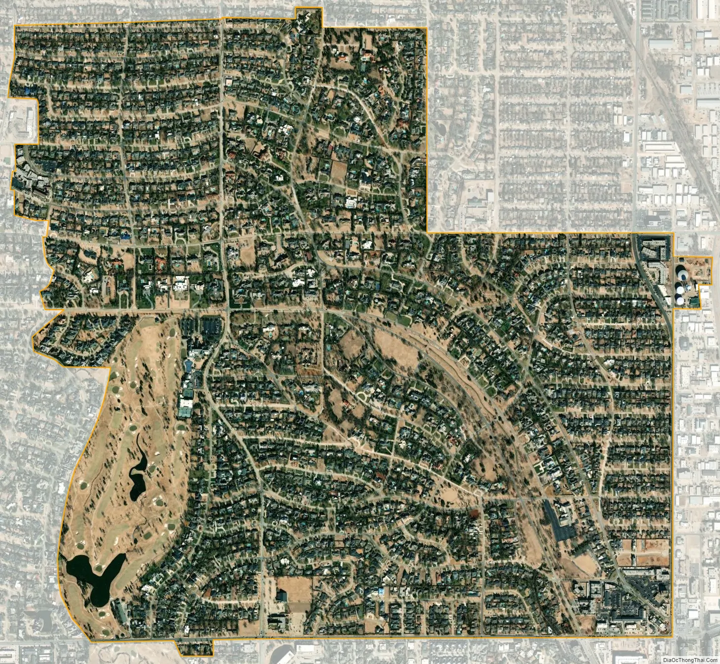
Nichols Hills city Satellite Map
Geography
According to the United States Census Bureau, the city has a total area of 2.0 square miles (5.2 km), of which 2.0 square miles (5.2 km) is land and 0.50% is water.
See also
Map of Oklahoma State and its subdivision:- Adair
- Alfalfa
- Atoka
- Beaver
- Beckham
- Blaine
- Bryan
- Caddo
- Canadian
- Carter
- Cherokee
- Choctaw
- Cimarron
- Cleveland
- Coal
- Comanche
- Cotton
- Craig
- Creek
- Custer
- Delaware
- Dewey
- Ellis
- Garfield
- Garvin
- Grady
- Grant
- Greer
- Harmon
- Harper
- Haskell
- Hughes
- Jackson
- Jefferson
- Johnston
- Kay
- Kingfisher
- Kiowa
- Latimer
- Le Flore
- Lincoln
- Logan
- Love
- Major
- Marshall
- Mayes
- McClain
- McCurtain
- McIntosh
- Murray
- Muskogee
- Noble
- Nowata
- Okfuskee
- Oklahoma
- Okmulgee
- Osage
- Ottawa
- Pawnee
- Payne
- Pittsburg
- Pontotoc
- Pottawatomie
- Pushmataha
- Roger Mills
- Rogers
- Seminole
- Sequoyah
- Stephens
- Texas
- Tillman
- Tulsa
- Wagoner
- Washington
- Washita
- Woods
- Woodward
- Alabama
- Alaska
- Arizona
- Arkansas
- California
- Colorado
- Connecticut
- Delaware
- District of Columbia
- Florida
- Georgia
- Hawaii
- Idaho
- Illinois
- Indiana
- Iowa
- Kansas
- Kentucky
- Louisiana
- Maine
- Maryland
- Massachusetts
- Michigan
- Minnesota
- Mississippi
- Missouri
- Montana
- Nebraska
- Nevada
- New Hampshire
- New Jersey
- New Mexico
- New York
- North Carolina
- North Dakota
- Ohio
- Oklahoma
- Oregon
- Pennsylvania
- Rhode Island
- South Carolina
- South Dakota
- Tennessee
- Texas
- Utah
- Vermont
- Virginia
- Washington
- West Virginia
- Wisconsin
- Wyoming