Oaks is a town in Cherokee and Delaware counties in the U.S. state of Oklahoma. The population was 288 at the 2010 census, a decrease from the figure of 412 recorded in 2000.
| Name: | Oaks town |
|---|---|
| LSAD Code: | 43 |
| LSAD Description: | town (suffix) |
| State: | Oklahoma |
| County: | Cherokee County, Delaware County |
| Elevation: | 1,030 ft (314 m) |
| Total Area: | 0.86 sq mi (2.22 km²) |
| Land Area: | 0.86 sq mi (2.22 km²) |
| Water Area: | 0.00 sq mi (0.00 km²) |
| Total Population: | 267 |
| Population Density: | 311.55/sq mi (120.25/km²) |
| ZIP code: | 74359 |
| Area code: | 539/918 |
| FIPS code: | 4053550 |
| GNISfeature ID: | 1096160 |
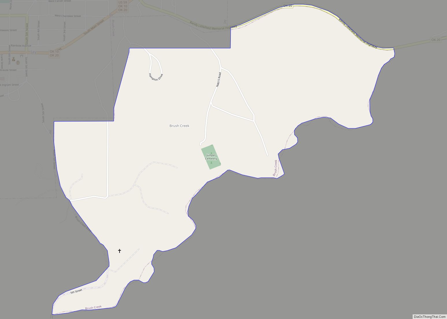
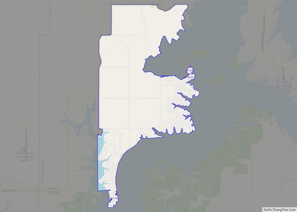
Online Interactive Map
Click on ![]() to view map in "full screen" mode.
to view map in "full screen" mode.
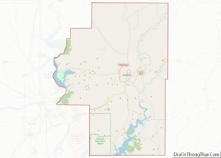
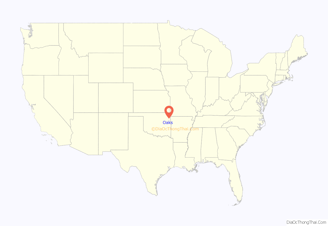
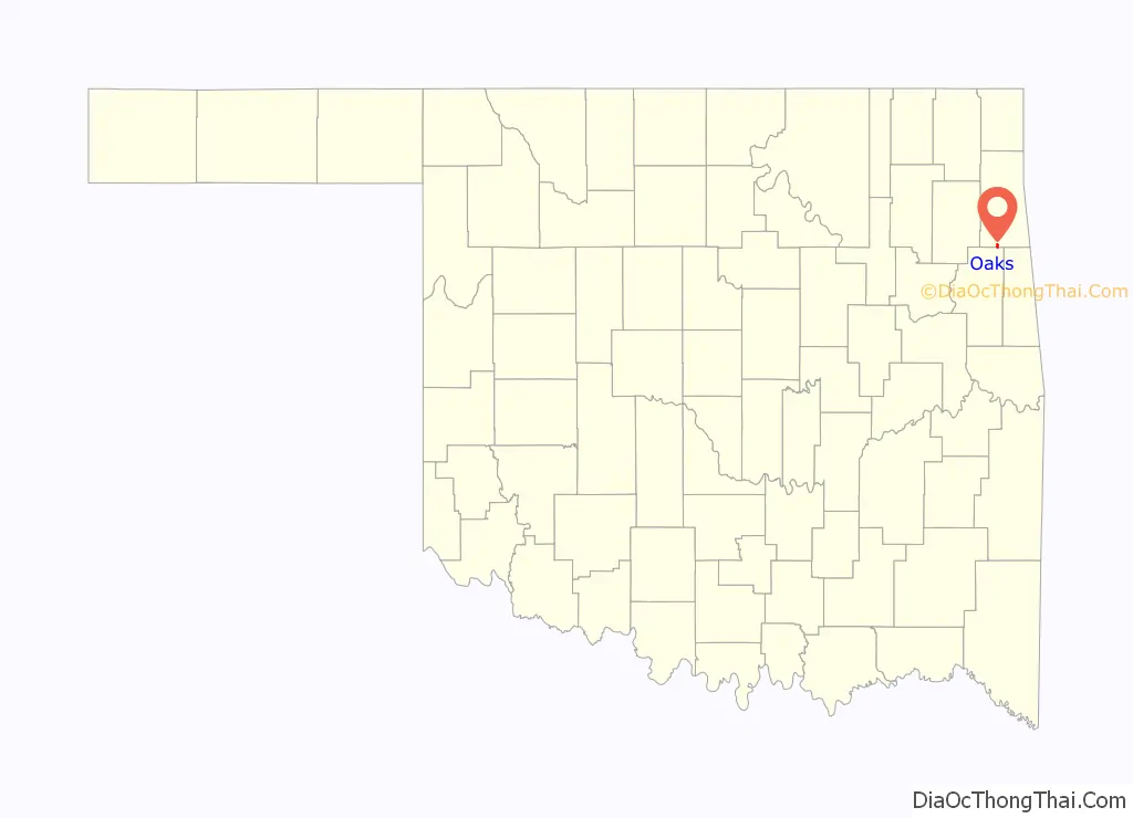
Oaks location map. Where is Oaks town?
History
In 1842, the Moravian Brethren began a new mission which they named New Springplace. It was intended to replace their former mission in Georgia, which they had abandoned after the Cherokees had been forced to emigrate to Indian Territory. The mission operated in its new location until after the outbreak of the American Civil War. In 1862, a group of Union troops and Pin Indians killed James Ward, a Cherokee missionary. They abducted Ward’s wife and twin infant sons, though they released them about 20 miles (32 km) from the mission. The mission was abandoned for the remainder of the war.
The Moravians resumed their mission work in October of 1866. After reassessing their activities, the church abandoned its work among the Cherokees, asking Niels Nielsen, a minister of the Evangelical Danish Lutheran Church, to help the New Springplace congregation. Nielsen took over the facilities in 1902 and dropped the Springplace name.
George Miller opened a post office named Oaks on July 18, 1881. A plat for the town was filed on December 10, 1906. All of the land was owned by William Israel, subject to allotment by the Cherokees.
Rev. Christian Adolphus Vammen, with his family, succeeded Nielsen in 1924 and two years later began a children’s home, Oaks Indian Mission. The mission still operates at present.
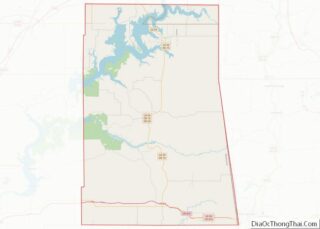
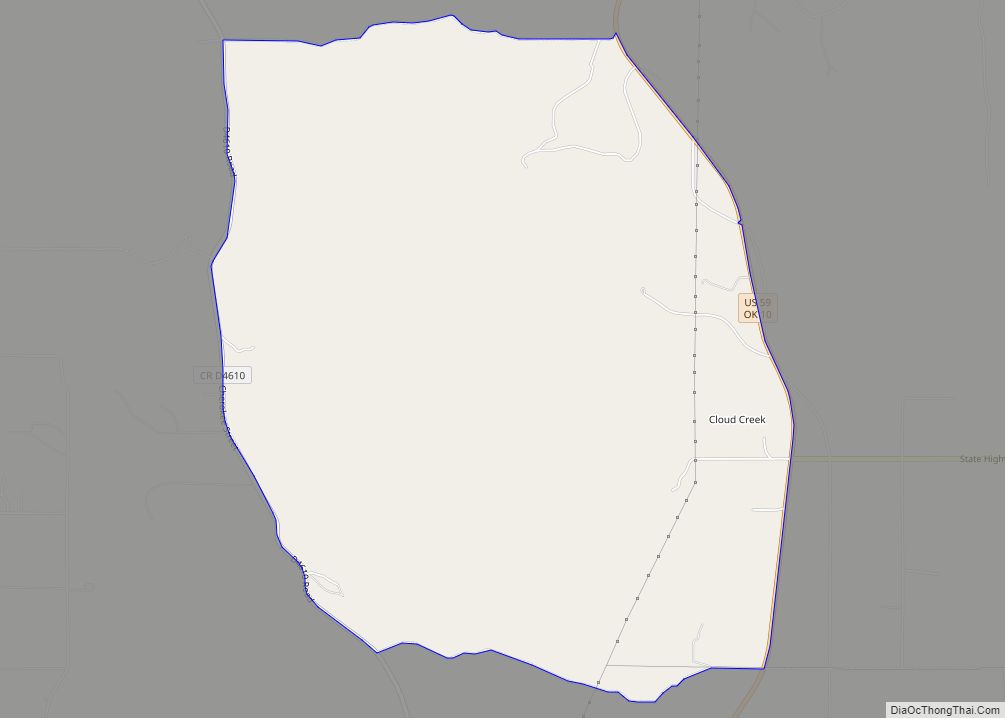
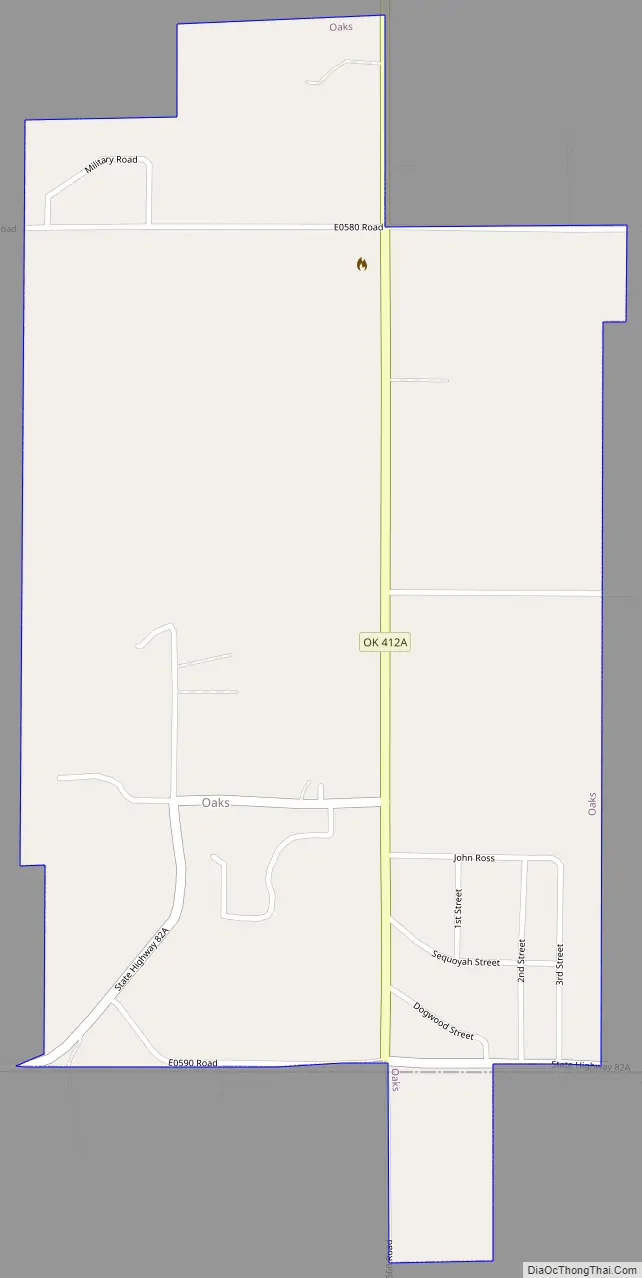
Oaks Road Map
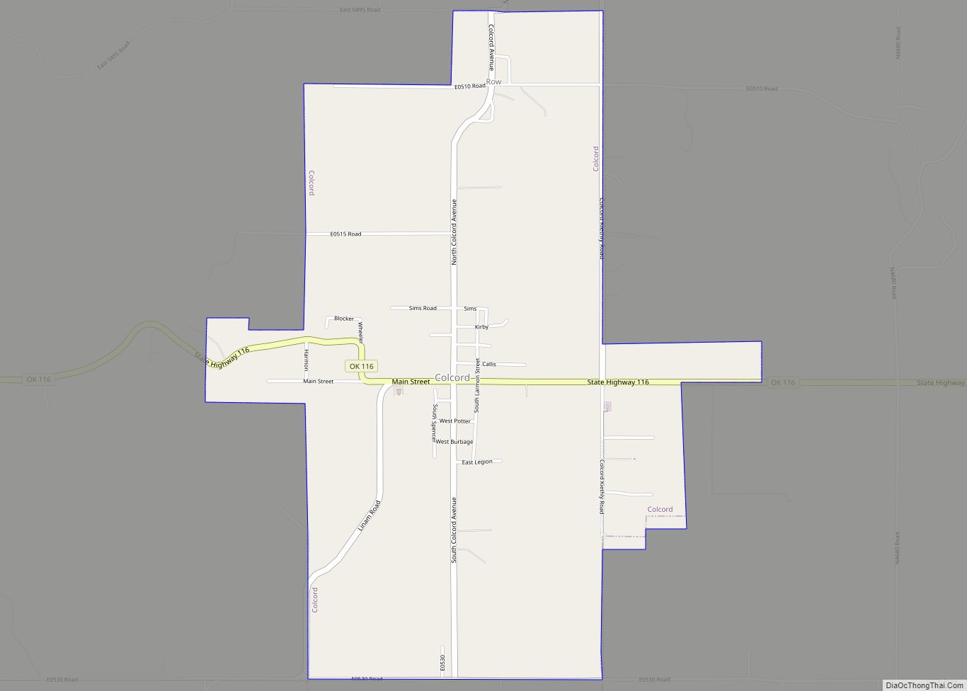
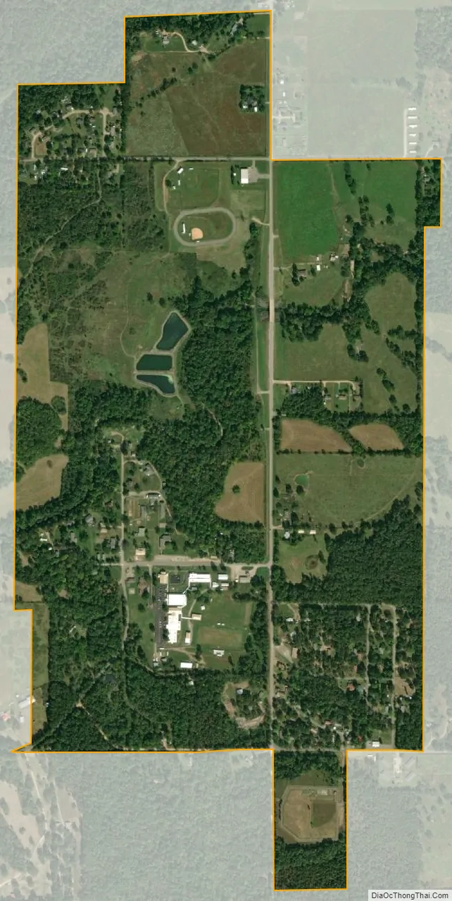
Oaks city Satellite Map
Geography
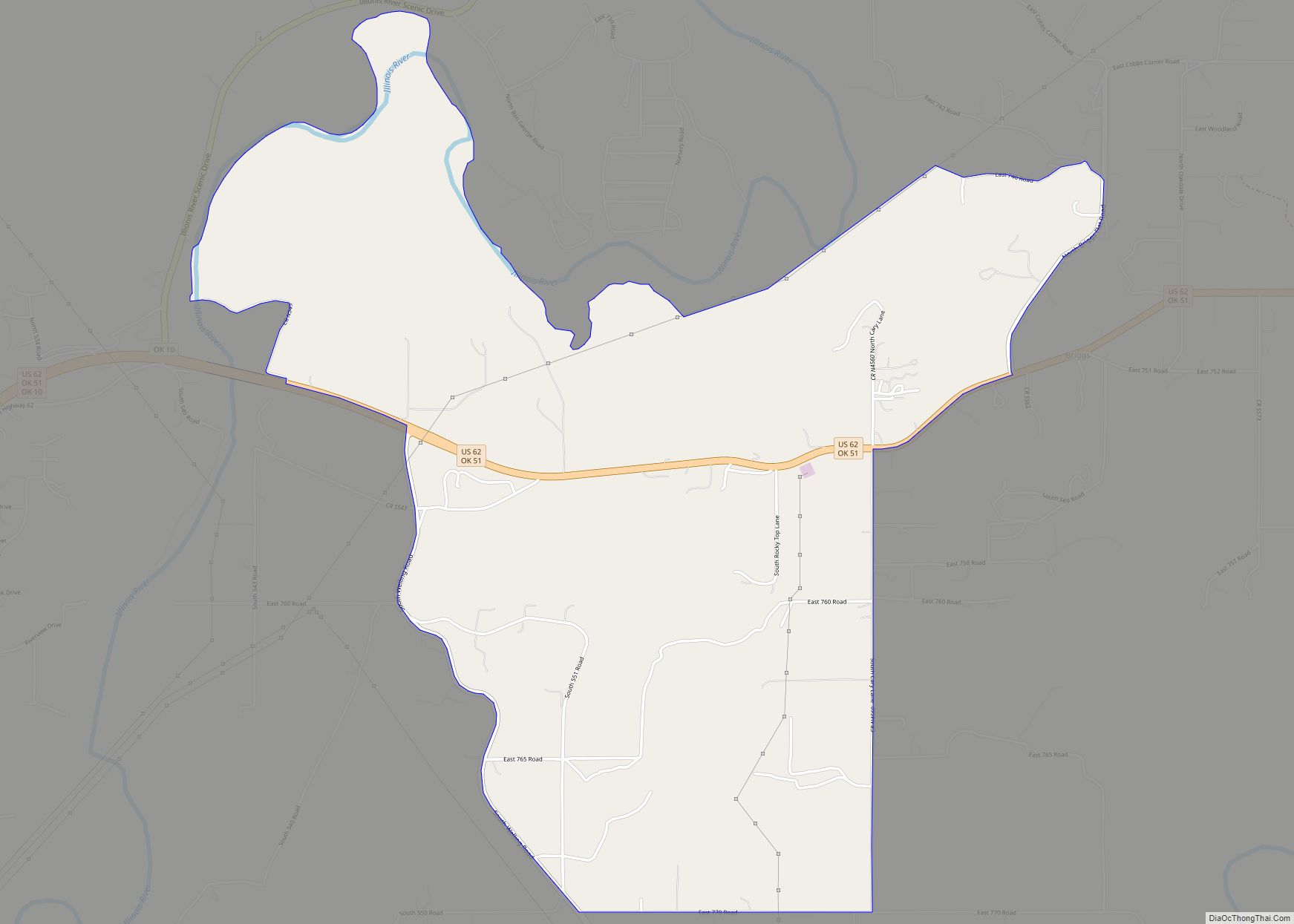
Oaks is located in southern Delaware County at 36°09′56″N 94°51′13″W / 36.1656°N 94.8536°W / 36.1656; -94.8536. A small portion of the town extends south into Cherokee County. It is 3 miles (5 km) southwest of the town of Kansas and 24 miles (39 km) north of Tahlequah, the Cherokee County seat.
According to the United States Census Bureau, the town of Oaks has a total area of 0.81 square miles (2.1 km), all land.
See also
Map of Oklahoma State and its subdivision:- Adair
- Alfalfa
- Atoka
- Beaver
- Beckham
- Blaine
- Bryan
- Caddo
- Canadian
- Carter
- Cherokee
- Choctaw
- Cimarron
- Cleveland
- Coal
- Comanche
- Cotton
- Craig
- Creek
- Custer
- Delaware
- Dewey
- Ellis
- Garfield
- Garvin
- Grady
- Grant
- Greer
- Harmon
- Harper
- Haskell
- Hughes
- Jackson
- Jefferson
- Johnston
- Kay
- Kingfisher
- Kiowa
- Latimer
- Le Flore
- Lincoln
- Logan
- Love
- Major
- Marshall
- Mayes
- McClain
- McCurtain
- McIntosh
- Murray
- Muskogee
- Noble
- Nowata
- Okfuskee
- Oklahoma
- Okmulgee
- Osage
- Ottawa
- Pawnee
- Payne
- Pittsburg
- Pontotoc
- Pottawatomie
- Pushmataha
- Roger Mills
- Rogers
- Seminole
- Sequoyah
- Stephens
- Texas
- Tillman
- Tulsa
- Wagoner
- Washington
- Washita
- Woods
- Woodward
- Alabama
- Alaska
- Arizona
- Arkansas
- California
- Colorado
- Connecticut
- Delaware
- District of Columbia
- Florida
- Georgia
- Hawaii
- Idaho
- Illinois
- Indiana
- Iowa
- Kansas
- Kentucky
- Louisiana
- Maine
- Maryland
- Massachusetts
- Michigan
- Minnesota
- Mississippi
- Missouri
- Montana
- Nebraska
- Nevada
- New Hampshire
- New Jersey
- New Mexico
- New York
- North Carolina
- North Dakota
- Ohio
- Oklahoma
- Oregon
- Pennsylvania
- Rhode Island
- South Carolina
- South Dakota
- Tennessee
- Texas
- Utah
- Vermont
- Virginia
- Washington
- West Virginia
- Wisconsin
- Wyoming