Ochelata /oʊʃəˈleɪtə/ is a town in Washington County, Oklahoma, United States. The population was 424 at the 2010 census, a decline of 14.2 percent from the figure of 494 recorded in 2000.
| Name: | Ochelata town |
|---|---|
| LSAD Code: | 43 |
| LSAD Description: | town (suffix) |
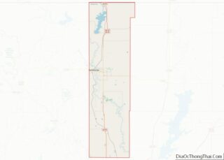
| State: | Oklahoma |
| County: | Washington County |
| Elevation: | 738 ft (225 m) |
| Total Area: | 0.65 sq mi (1.69 km²) |
| Land Area: | 0.65 sq mi (1.69 km²) |
| Water Area: | 0.00 sq mi (0.00 km²) |
| Total Population: | 427 |
| Population Density: | 653.91/sq mi (252.36/km²) |
| ZIP code: | 74051 |
| Area code: | 539/918 |
| FIPS code: | 4053700 |
| GNISfeature ID: | 1096171 |
Online Interactive Map
Click on ![]() to view map in "full screen" mode.
to view map in "full screen" mode.
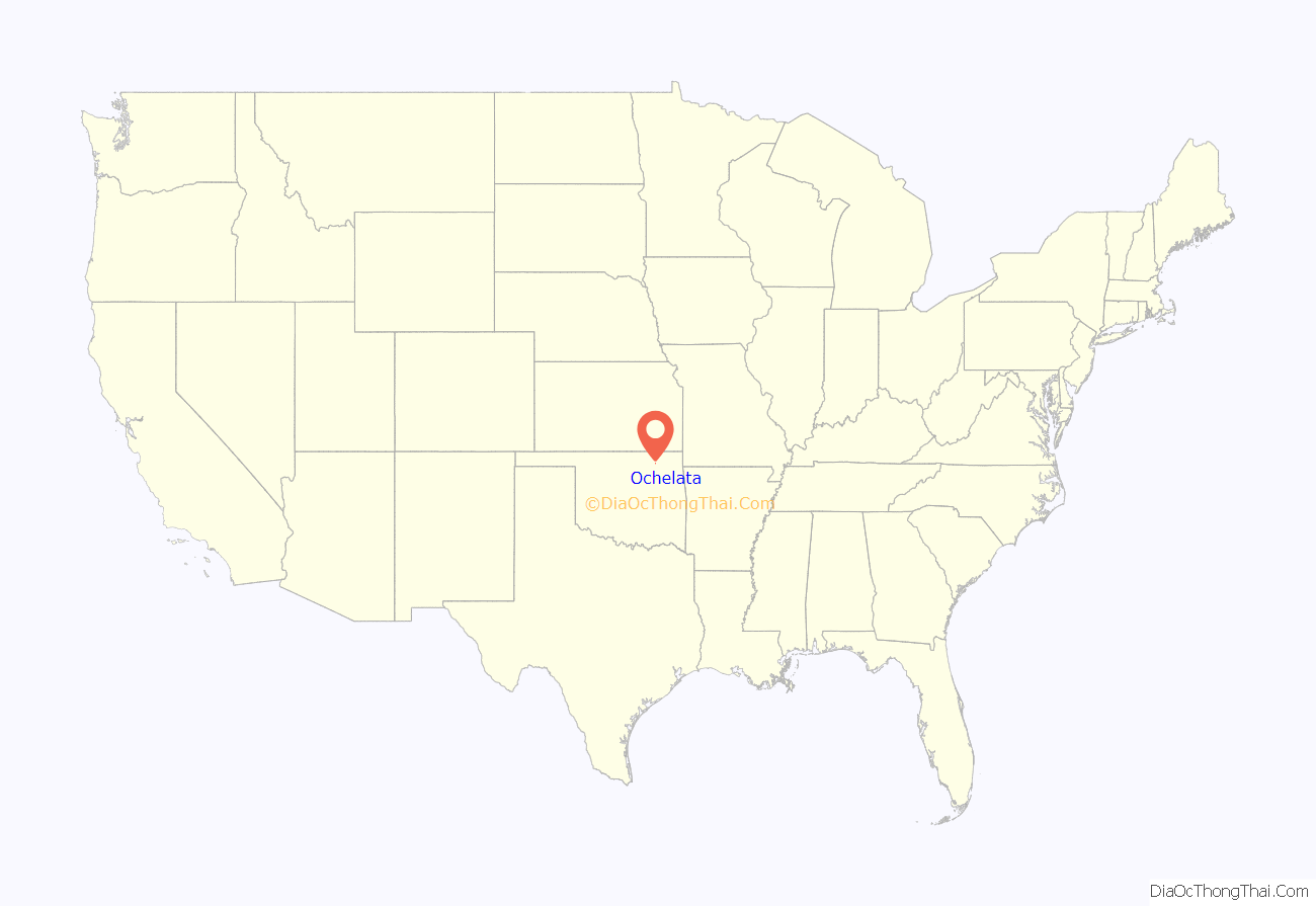
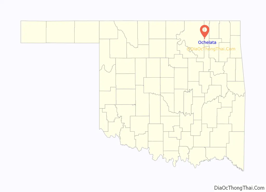
Ochelata location map. Where is Ochelata town?
History
This settlement was founded circa 1898 by Thomas Ellis, who had bought 40 acres from a Cherokee land owner named Jacob Dick. Ellis named the community Otis. It was renamed Ochelata in November 1899 to honor Cherokee Principal Chief Charles Thompson, whose Cherokee name was Oochalata. The Atchison, Topeka and Santa Fe Railway reached Ochelata in 1899. A post office was established March 23, 1900, and the town of Ochelata was incorporated in 1902.
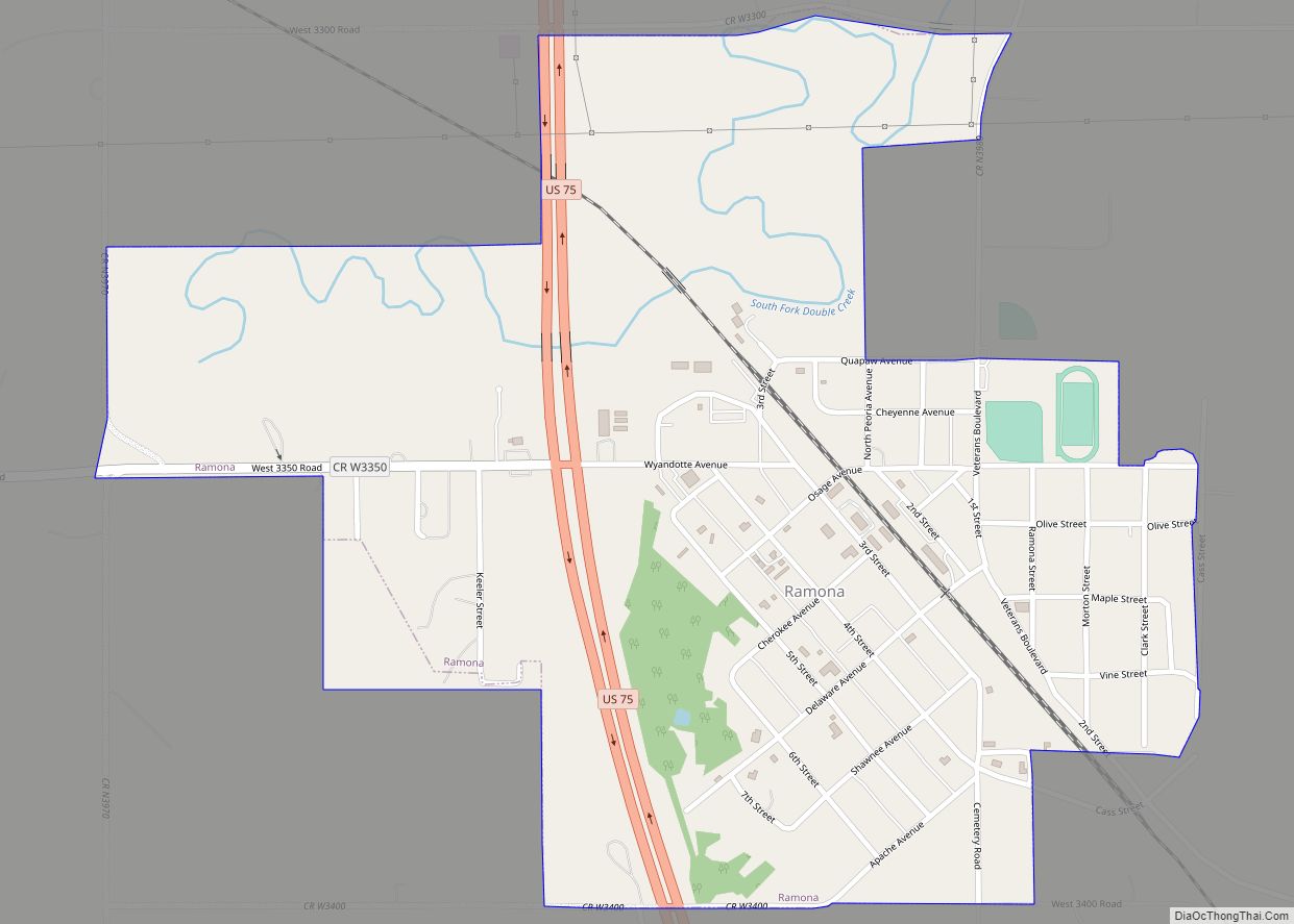
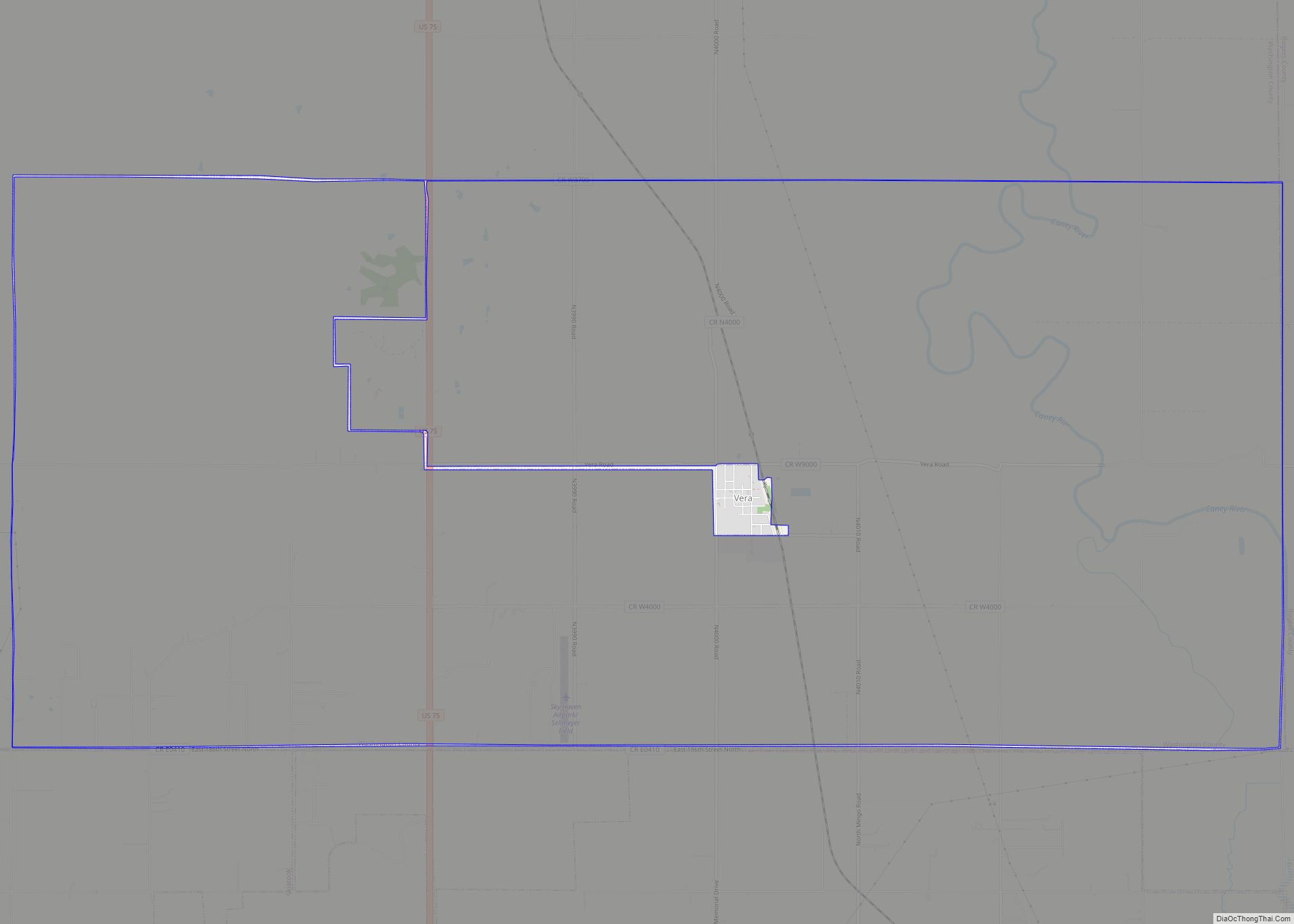
Ochelata School District was consolidated with Ramona, Vera, and Oglesby to become the Caney Valley School District. The elementary school is located in Ochelata and the administration, middle school and high school are located in Ramona. In 2013–2014, the old Ochelata School building was renovated and placed back in service with classrooms.
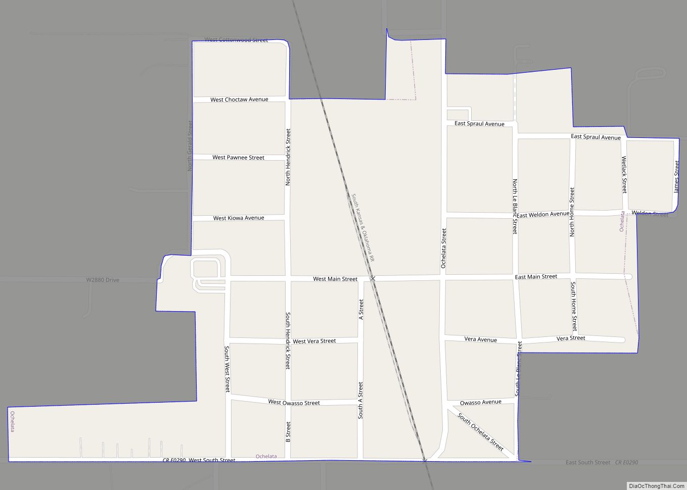
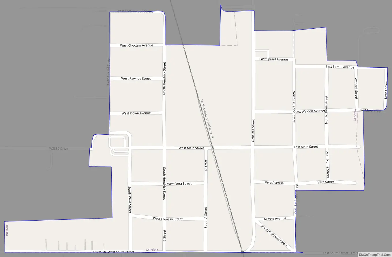
Ochelata Road Map
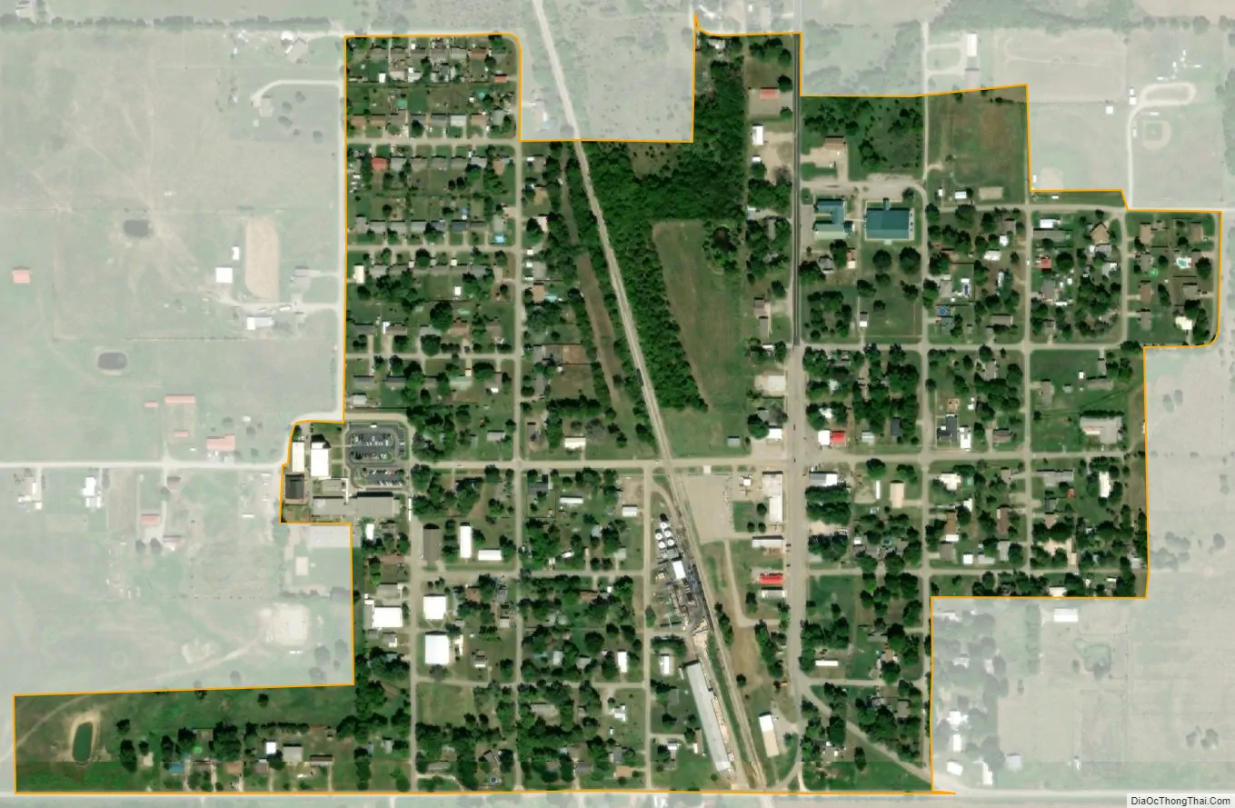
Ochelata city Satellite Map
Geography
Ochelata is located at 36°36′1″N 95°58′50″W / 36.60028°N 95.98056°W / 36.60028; -95.98056 (36.6003, −95.9804).
According to the United States Census Bureau, the town has a total area of 0.2 square miles (0.52 km), all land.
See also
Map of Oklahoma State and its subdivision:- Adair
- Alfalfa
- Atoka
- Beaver
- Beckham
- Blaine
- Bryan
- Caddo
- Canadian
- Carter
- Cherokee
- Choctaw
- Cimarron
- Cleveland
- Coal
- Comanche
- Cotton
- Craig
- Creek
- Custer
- Delaware
- Dewey
- Ellis
- Garfield
- Garvin
- Grady
- Grant
- Greer
- Harmon
- Harper
- Haskell
- Hughes
- Jackson
- Jefferson
- Johnston
- Kay
- Kingfisher
- Kiowa
- Latimer
- Le Flore
- Lincoln
- Logan
- Love
- Major
- Marshall
- Mayes
- McClain
- McCurtain
- McIntosh
- Murray
- Muskogee
- Noble
- Nowata
- Okfuskee
- Oklahoma
- Okmulgee
- Osage
- Ottawa
- Pawnee
- Payne
- Pittsburg
- Pontotoc
- Pottawatomie
- Pushmataha
- Roger Mills
- Rogers
- Seminole
- Sequoyah
- Stephens
- Texas
- Tillman
- Tulsa
- Wagoner
- Washington
- Washita
- Woods
- Woodward
- Alabama
- Alaska
- Arizona
- Arkansas
- California
- Colorado
- Connecticut
- Delaware
- District of Columbia
- Florida
- Georgia
- Hawaii
- Idaho
- Illinois
- Indiana
- Iowa
- Kansas
- Kentucky
- Louisiana
- Maine
- Maryland
- Massachusetts
- Michigan
- Minnesota
- Mississippi
- Missouri
- Montana
- Nebraska
- Nevada
- New Hampshire
- New Jersey
- New Mexico
- New York
- North Carolina
- North Dakota
- Ohio
- Oklahoma
- Oregon
- Pennsylvania
- Rhode Island
- South Carolina
- South Dakota
- Tennessee
- Texas
- Utah
- Vermont
- Virginia
- Washington
- West Virginia
- Wisconsin
- Wyoming