Okeene is a town in Blaine County, Oklahoma, United States. The population was 1,204 at the 2010 census. The name was created by combining the last letters of Cherokee and Cheyenne.
| Name: | Okeene town |
|---|---|
| LSAD Code: | 43 |
| LSAD Description: | town (suffix) |
| State: | Oklahoma |
| County: | Blaine County |
| Elevation: | 1,217 ft (371 m) |
| Total Area: | 2.26 sq mi (5.86 km²) |
| Land Area: | 2.26 sq mi (5.86 km²) |
| Water Area: | 0.00 sq mi (0.00 km²) |
| Total Population: | 1,090 |
| Population Density: | 481.45/sq mi (185.93/km²) |
| ZIP code: | 73763 |
| Area code: | 580 |
| FIPS code: | 4054150 |
| GNISfeature ID: | 2413076 |
Online Interactive Map
Click on ![]() to view map in "full screen" mode.
to view map in "full screen" mode.
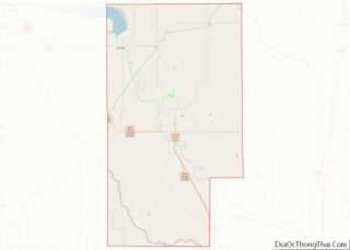
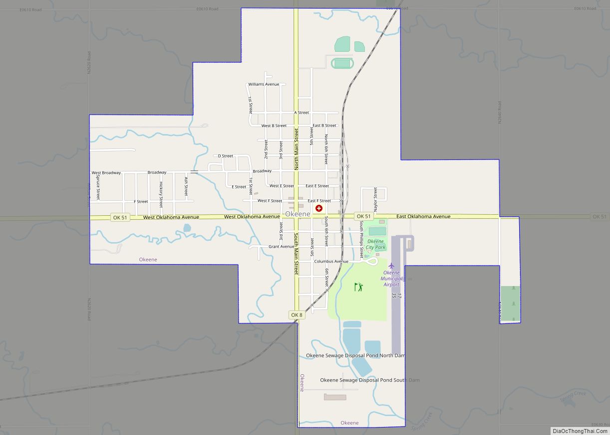
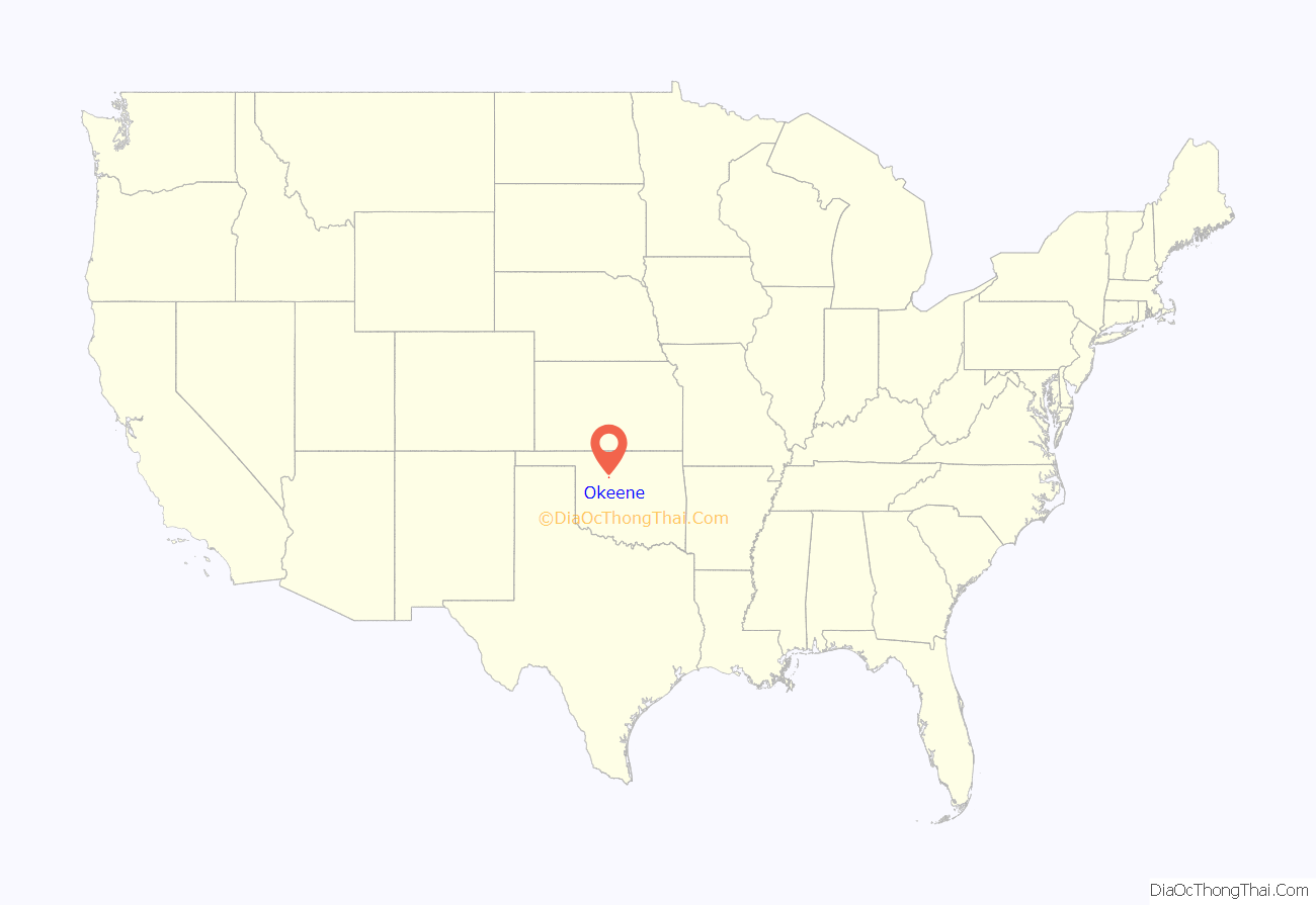
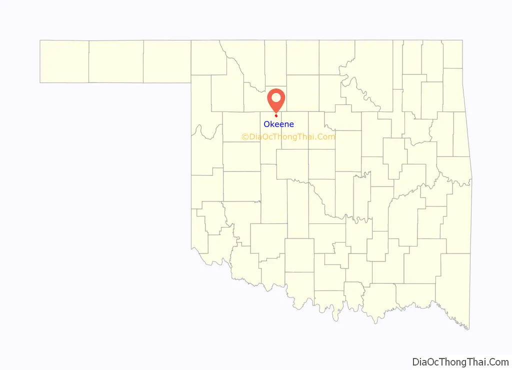
Okeene location map. Where is Okeene town?
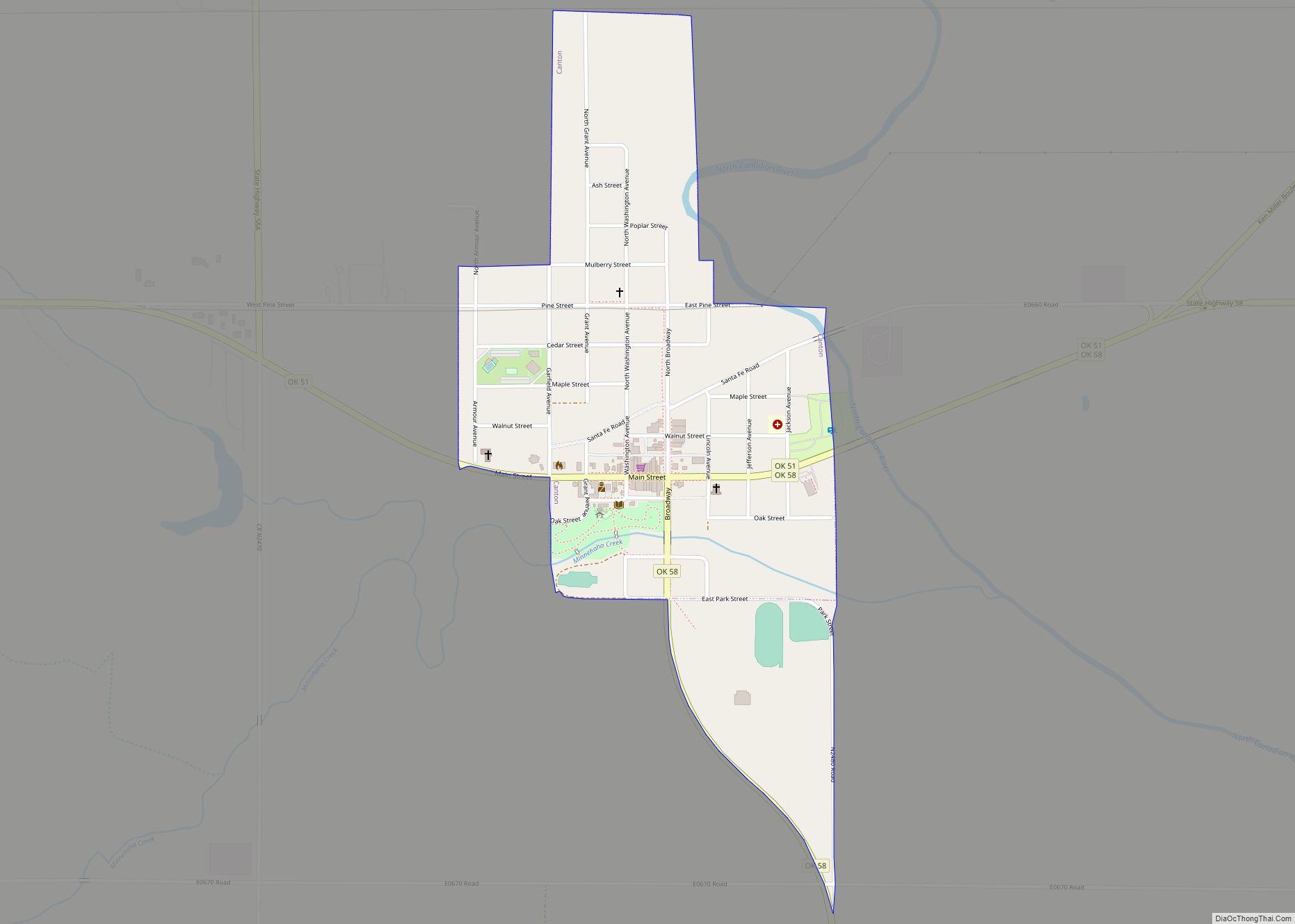
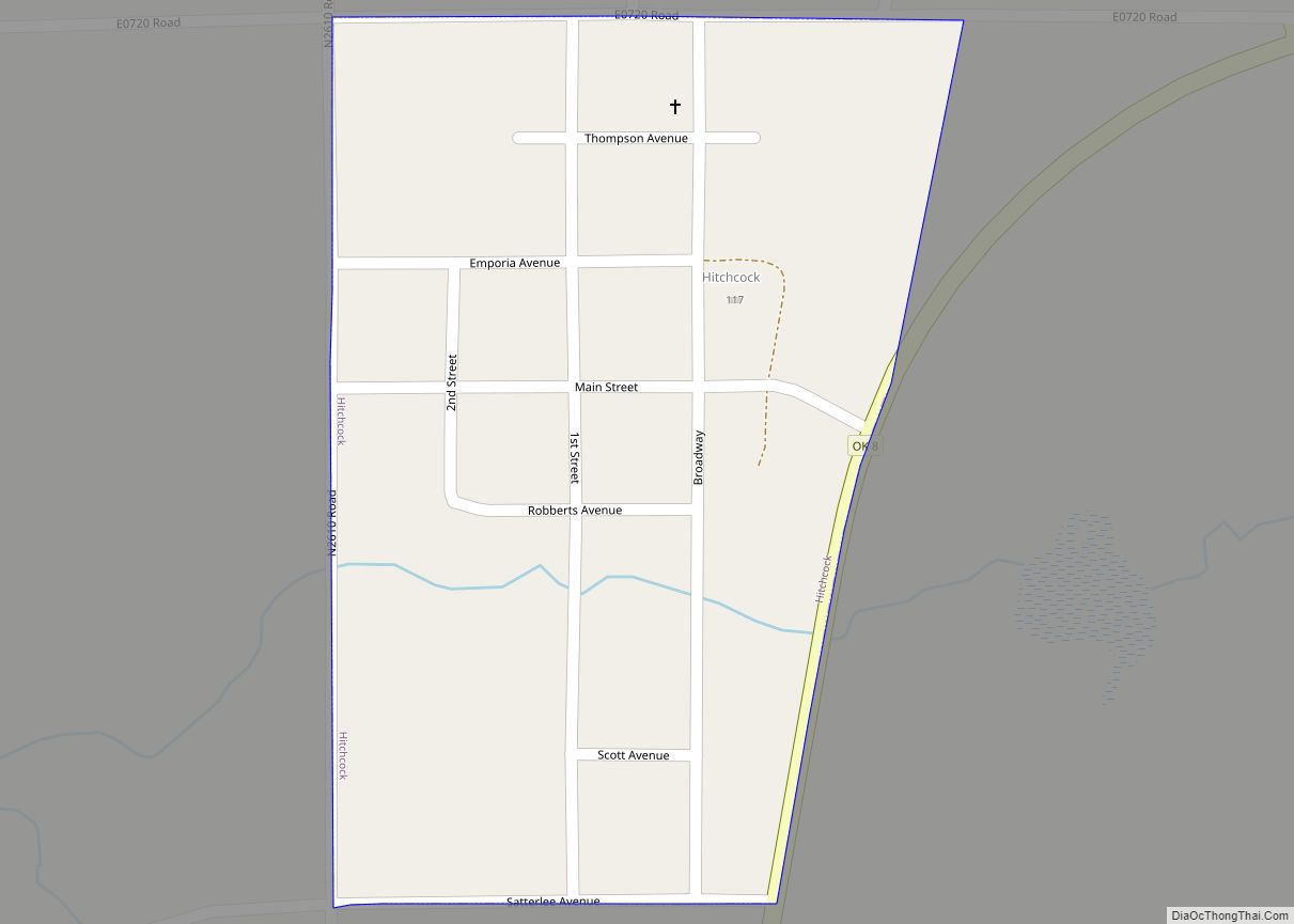
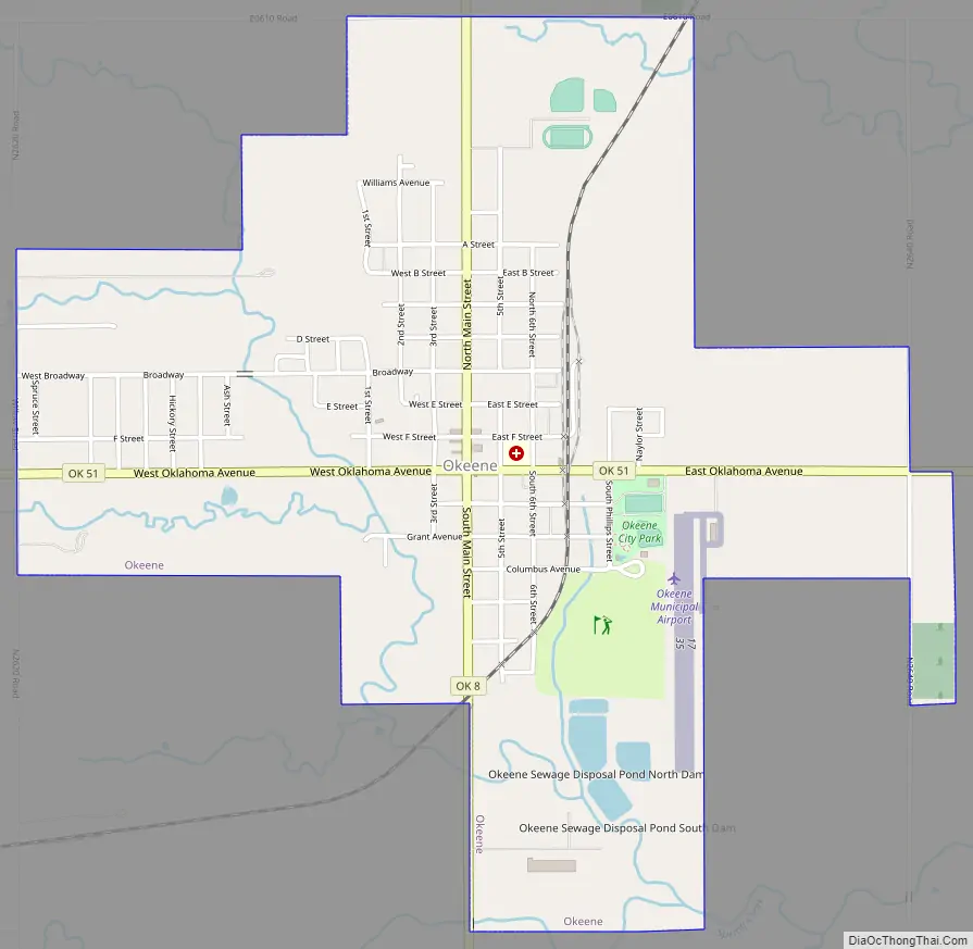
Okeene Road Map
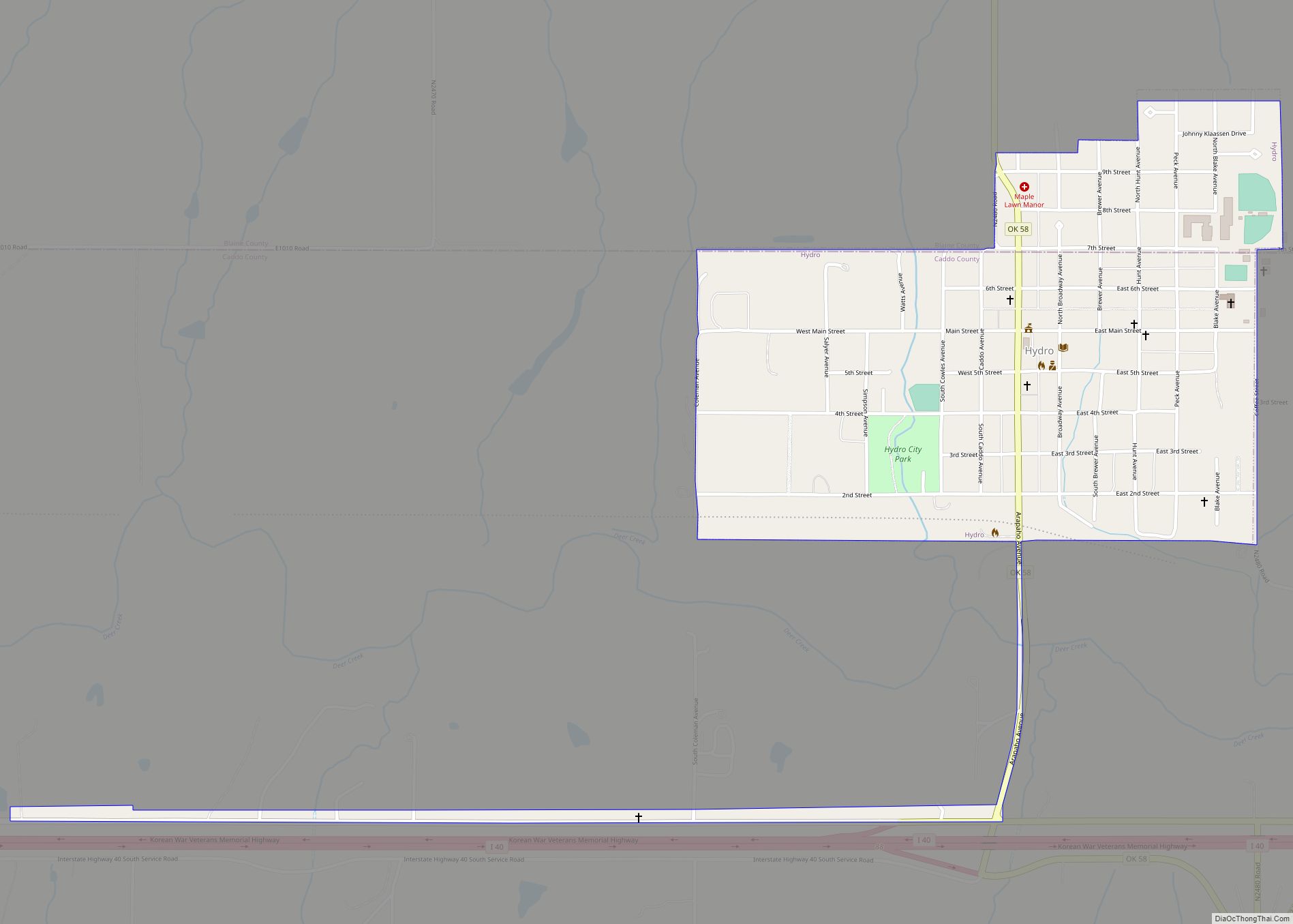
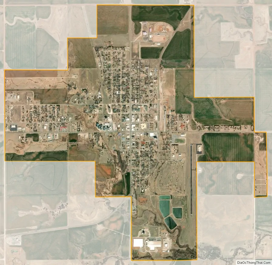
Okeene city Satellite Map
Geography
Okeene is located in northeastern Blaine County at the intersection of state highways 8 and 51. OK-8 leads south 23 miles (37 km) to Watonga, the county seat, and northwest 20 miles (32 km) to Fairview. OK-51 leads east 24 miles (39 km) to Hennessey and west 17 miles (27 km) to Canton.
According to the United States Census Bureau, Okeene has a total area of 2.30 square miles (5.96 km), all land.
See also
Map of Oklahoma State and its subdivision:- Adair
- Alfalfa
- Atoka
- Beaver
- Beckham
- Blaine
- Bryan
- Caddo
- Canadian
- Carter
- Cherokee
- Choctaw
- Cimarron
- Cleveland
- Coal
- Comanche
- Cotton
- Craig
- Creek
- Custer
- Delaware
- Dewey
- Ellis
- Garfield
- Garvin
- Grady
- Grant
- Greer
- Harmon
- Harper
- Haskell
- Hughes
- Jackson
- Jefferson
- Johnston
- Kay
- Kingfisher
- Kiowa
- Latimer
- Le Flore
- Lincoln
- Logan
- Love
- Major
- Marshall
- Mayes
- McClain
- McCurtain
- McIntosh
- Murray
- Muskogee
- Noble
- Nowata
- Okfuskee
- Oklahoma
- Okmulgee
- Osage
- Ottawa
- Pawnee
- Payne
- Pittsburg
- Pontotoc
- Pottawatomie
- Pushmataha
- Roger Mills
- Rogers
- Seminole
- Sequoyah
- Stephens
- Texas
- Tillman
- Tulsa
- Wagoner
- Washington
- Washita
- Woods
- Woodward
- Alabama
- Alaska
- Arizona
- Arkansas
- California
- Colorado
- Connecticut
- Delaware
- District of Columbia
- Florida
- Georgia
- Hawaii
- Idaho
- Illinois
- Indiana
- Iowa
- Kansas
- Kentucky
- Louisiana
- Maine
- Maryland
- Massachusetts
- Michigan
- Minnesota
- Mississippi
- Missouri
- Montana
- Nebraska
- Nevada
- New Hampshire
- New Jersey
- New Mexico
- New York
- North Carolina
- North Dakota
- Ohio
- Oklahoma
- Oregon
- Pennsylvania
- Rhode Island
- South Carolina
- South Dakota
- Tennessee
- Texas
- Utah
- Vermont
- Virginia
- Washington
- West Virginia
- Wisconsin
- Wyoming