Proctor is a census-designated place (CDP) in Adair County, Oklahoma, United States. The population was 231 at the 2010 census.
| Name: | Proctor CDP |
|---|---|
| LSAD Code: | 57 |
| LSAD Description: | CDP (suffix) |
| State: | Oklahoma |
| County: | Adair County |
| Elevation: | 820 ft (250 m) |
| Total Area: | 10.80 sq mi (27.97 km²) |
| Land Area: | 10.71 sq mi (27.73 km²) |
| Water Area: | 0.09 sq mi (0.23 km²) |
| Total Population: | 180 |
| Population Density: | 16.81/sq mi (6.49/km²) |
| FIPS code: | 4060750 |
| GNISfeature ID: | 2584390 |
Online Interactive Map
Click on ![]() to view map in "full screen" mode.
to view map in "full screen" mode.
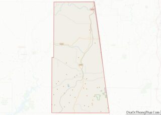
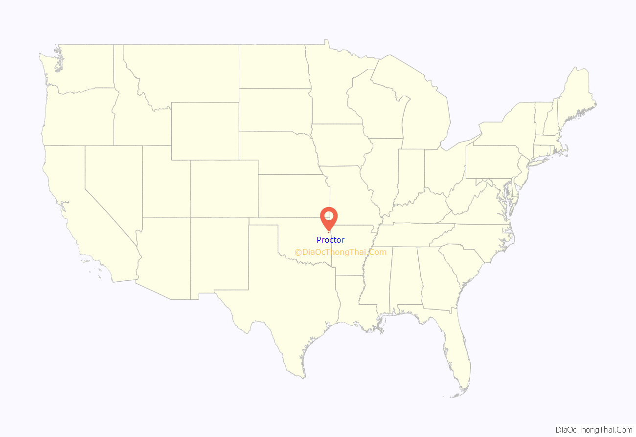
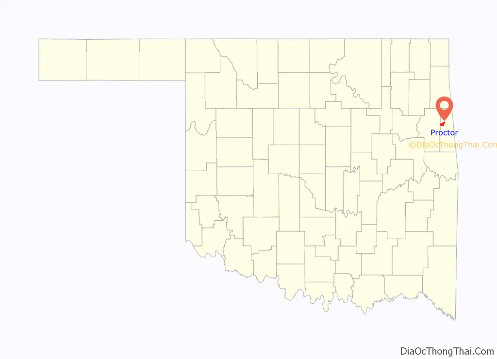
Proctor location map. Where is Proctor CDP?
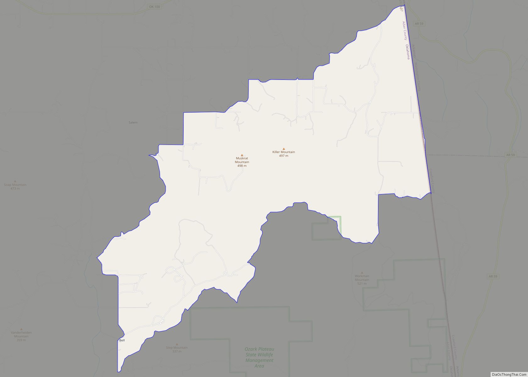
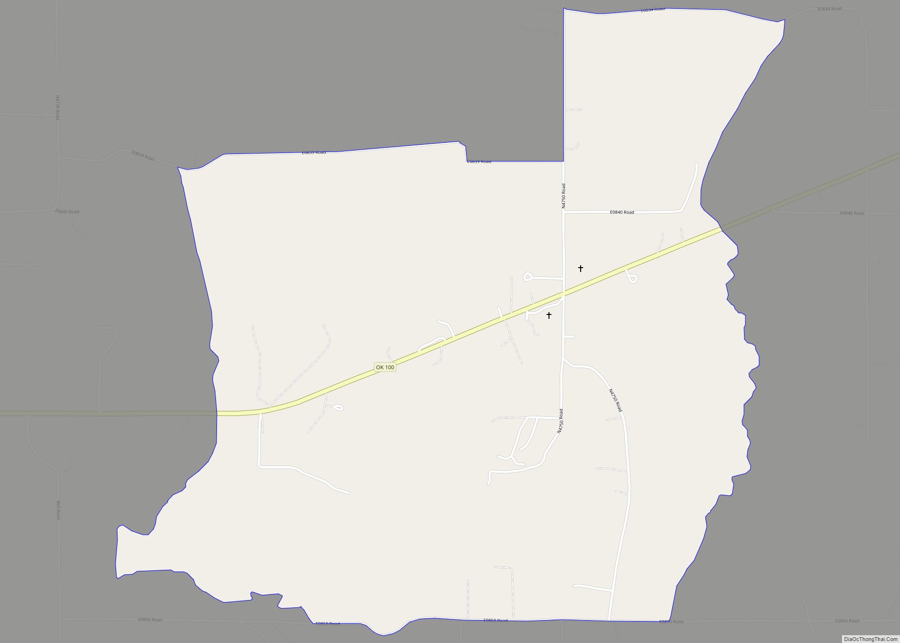
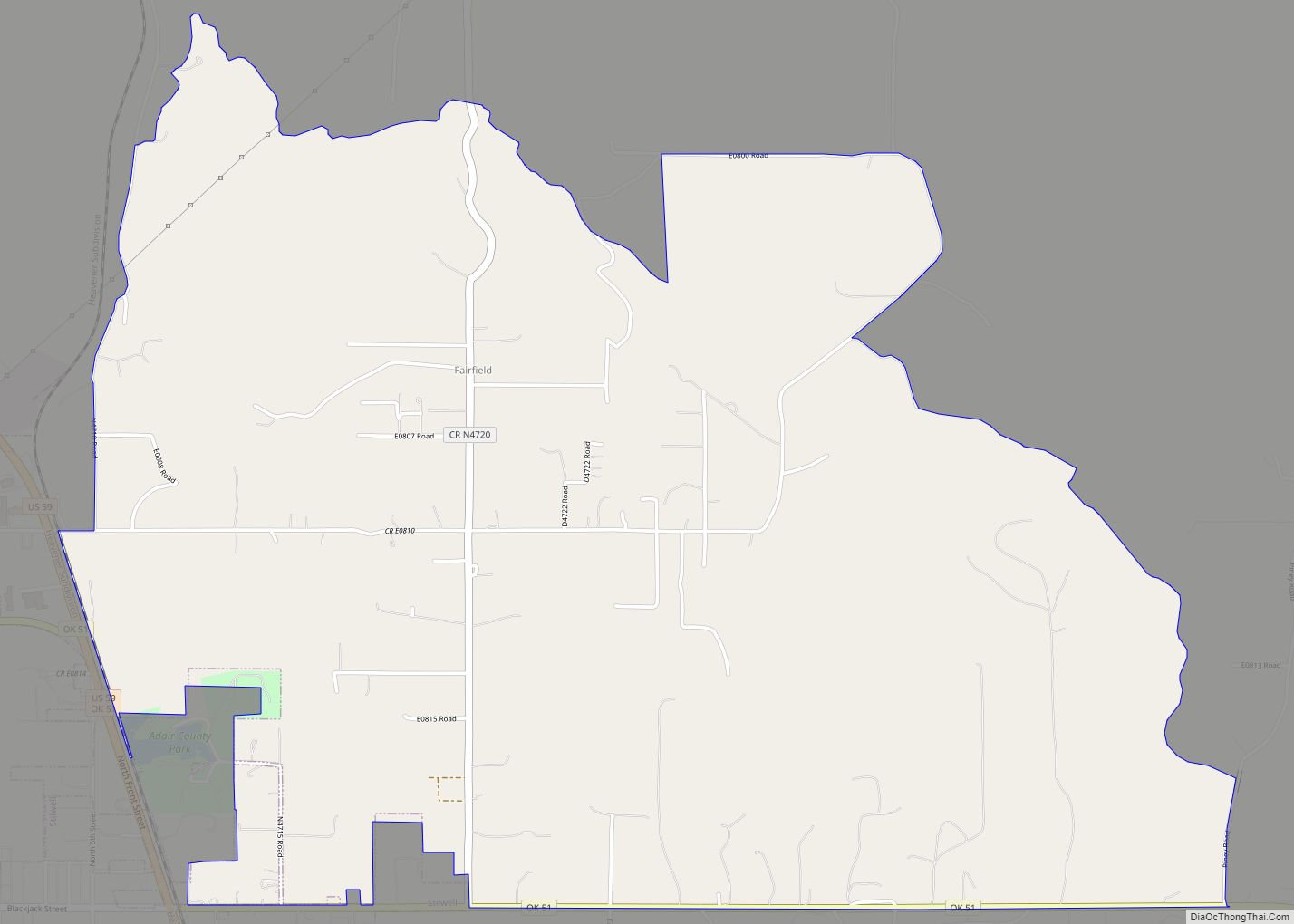
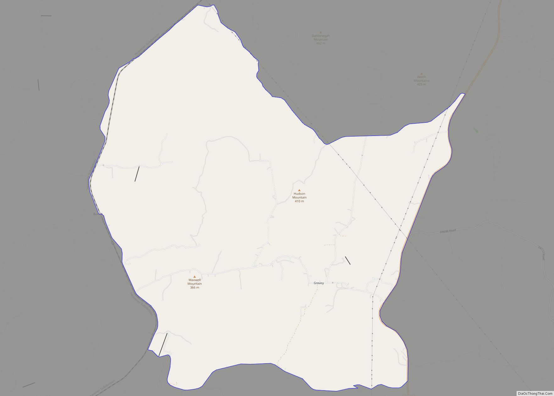
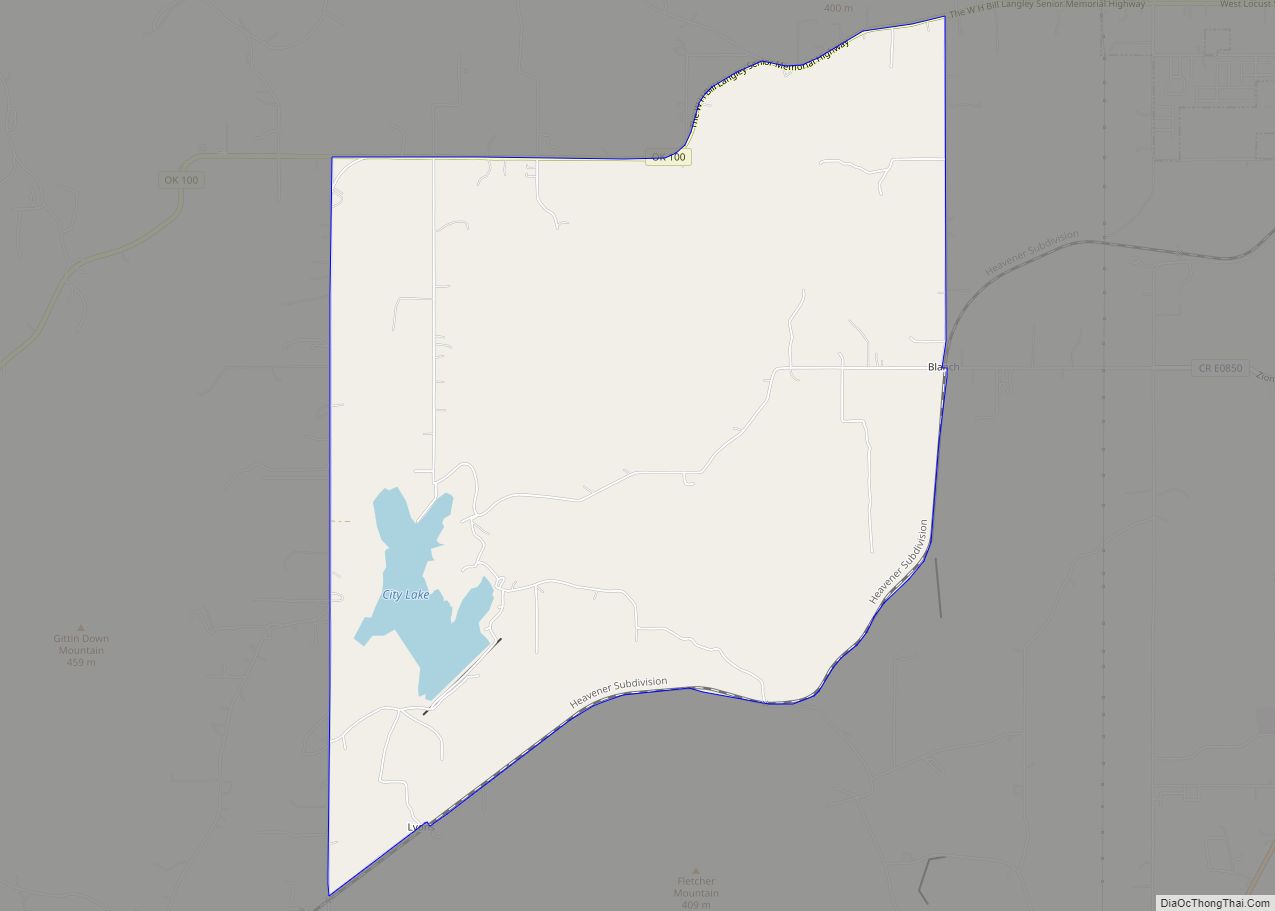
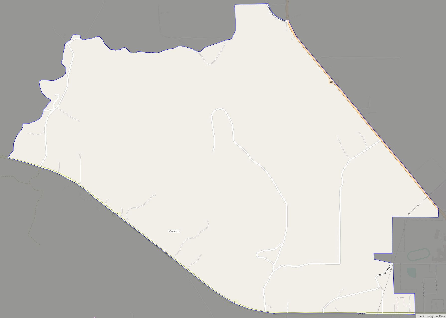
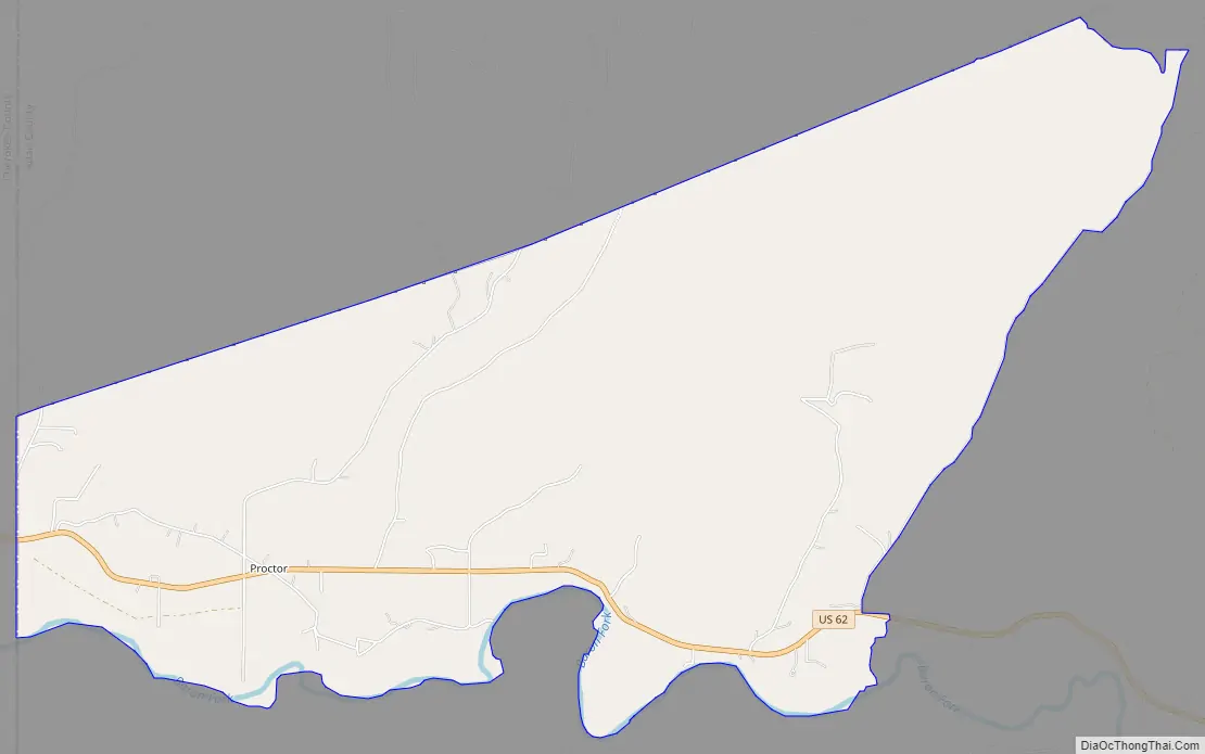
Proctor Road Map
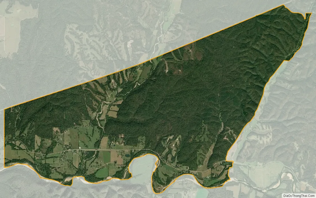
Proctor city Satellite Map
Geography
Proctor is located at 35°57′58″N 94°46′39″W / 35.96611°N 94.77750°W / 35.96611; -94.77750, in the valley of the Baron Fork, a tributary of the Illinois River of Oklahoma, part of the Arkansas River watershed. U.S. Route 62 runs through the center of the community, leading east 13 miles (21 km) to Westville and west 14 miles (23 km) to Tahlequah.
According to the United States Census Bureau, the CDP has a total area of 8.5 square miles (21.9 km), of which 8.4 square miles (21.8 km) is land and 0.077 square miles (0.2 km), or 0.77%, is water.
See also
Map of Oklahoma State and its subdivision:- Adair
- Alfalfa
- Atoka
- Beaver
- Beckham
- Blaine
- Bryan
- Caddo
- Canadian
- Carter
- Cherokee
- Choctaw
- Cimarron
- Cleveland
- Coal
- Comanche
- Cotton
- Craig
- Creek
- Custer
- Delaware
- Dewey
- Ellis
- Garfield
- Garvin
- Grady
- Grant
- Greer
- Harmon
- Harper
- Haskell
- Hughes
- Jackson
- Jefferson
- Johnston
- Kay
- Kingfisher
- Kiowa
- Latimer
- Le Flore
- Lincoln
- Logan
- Love
- Major
- Marshall
- Mayes
- McClain
- McCurtain
- McIntosh
- Murray
- Muskogee
- Noble
- Nowata
- Okfuskee
- Oklahoma
- Okmulgee
- Osage
- Ottawa
- Pawnee
- Payne
- Pittsburg
- Pontotoc
- Pottawatomie
- Pushmataha
- Roger Mills
- Rogers
- Seminole
- Sequoyah
- Stephens
- Texas
- Tillman
- Tulsa
- Wagoner
- Washington
- Washita
- Woods
- Woodward
- Alabama
- Alaska
- Arizona
- Arkansas
- California
- Colorado
- Connecticut
- Delaware
- District of Columbia
- Florida
- Georgia
- Hawaii
- Idaho
- Illinois
- Indiana
- Iowa
- Kansas
- Kentucky
- Louisiana
- Maine
- Maryland
- Massachusetts
- Michigan
- Minnesota
- Mississippi
- Missouri
- Montana
- Nebraska
- Nevada
- New Hampshire
- New Jersey
- New Mexico
- New York
- North Carolina
- North Dakota
- Ohio
- Oklahoma
- Oregon
- Pennsylvania
- Rhode Island
- South Carolina
- South Dakota
- Tennessee
- Texas
- Utah
- Vermont
- Virginia
- Washington
- West Virginia
- Wisconsin
- Wyoming