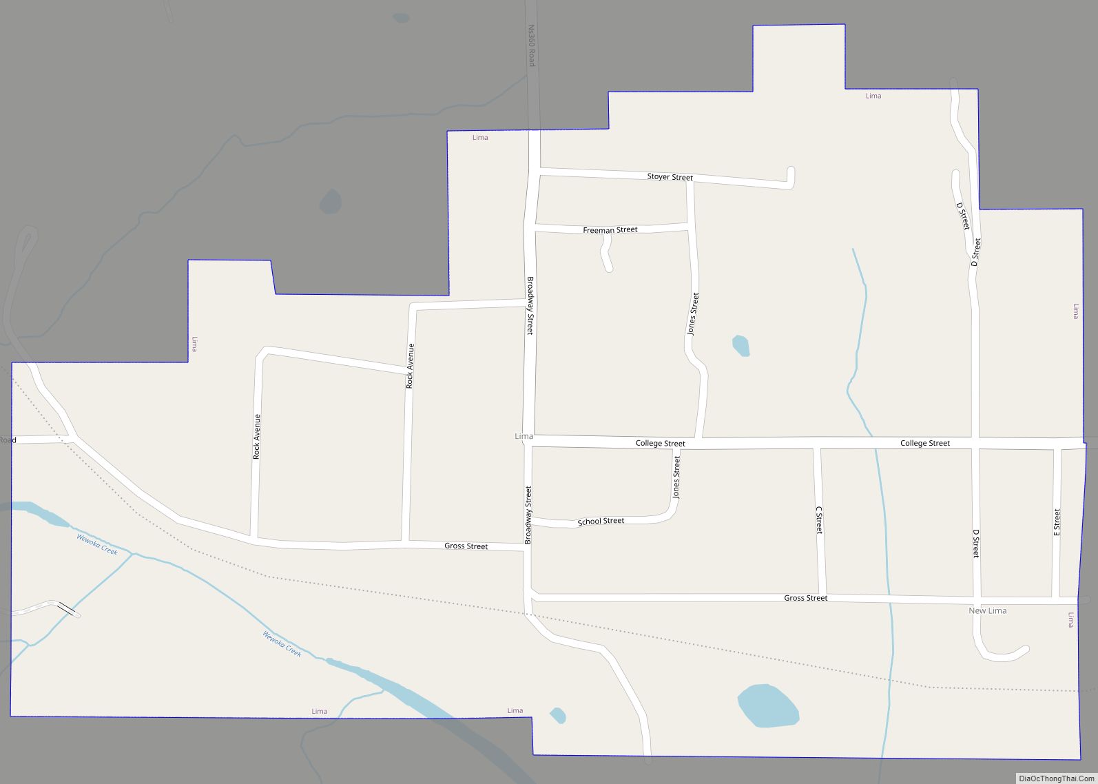
Sasakwa is a town in Seminole County, Oklahoma, United States. The population was documented as 150 in both the 2010 and 2000 census.
| Name: | Sasakwa town |
|---|---|
| LSAD Code: | 43 |
| LSAD Description: | town (suffix) |
| State: | Oklahoma |
| County: | Seminole County |
| Elevation: | 843 ft (257 m) |
| Total Area: | 0.21 sq mi (0.55 km²) |
| Land Area: | 0.21 sq mi (0.55 km²) |
| Water Area: | 0.00 sq mi (0.00 km²) |
| Total Population: | 80 |
| Population Density: | 375.59/sq mi (144.69/km²) |
| ZIP code: | 74867 |
| Area code: | 405 |
| FIPS code: | 4065500 |
| GNISfeature ID: | 1097843 |
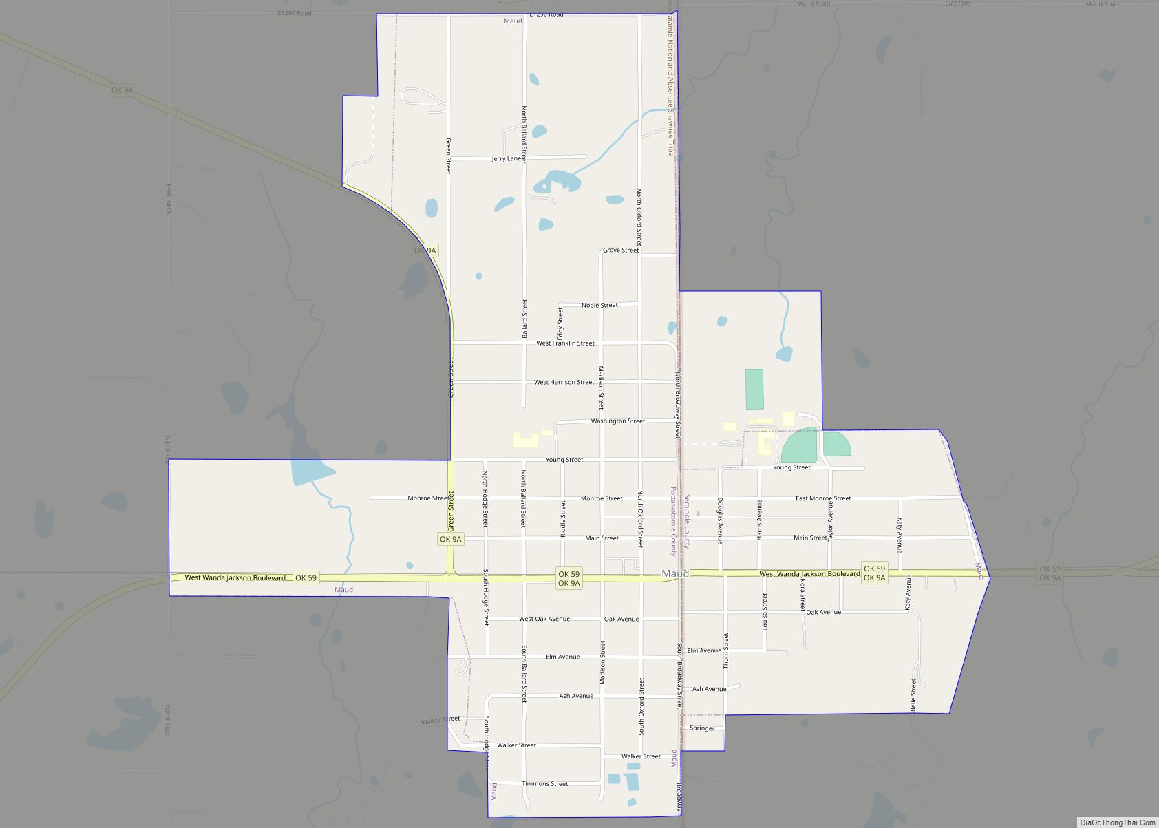
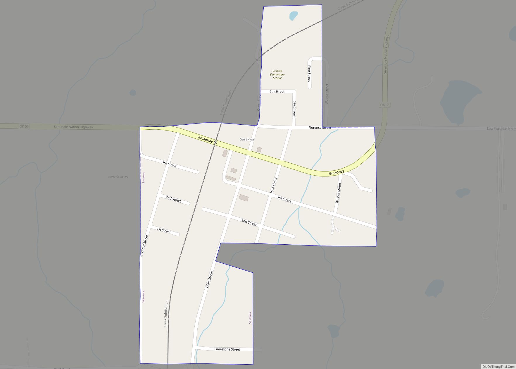
Online Interactive Map
Click on ![]() to view map in "full screen" mode.
to view map in "full screen" mode.
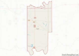
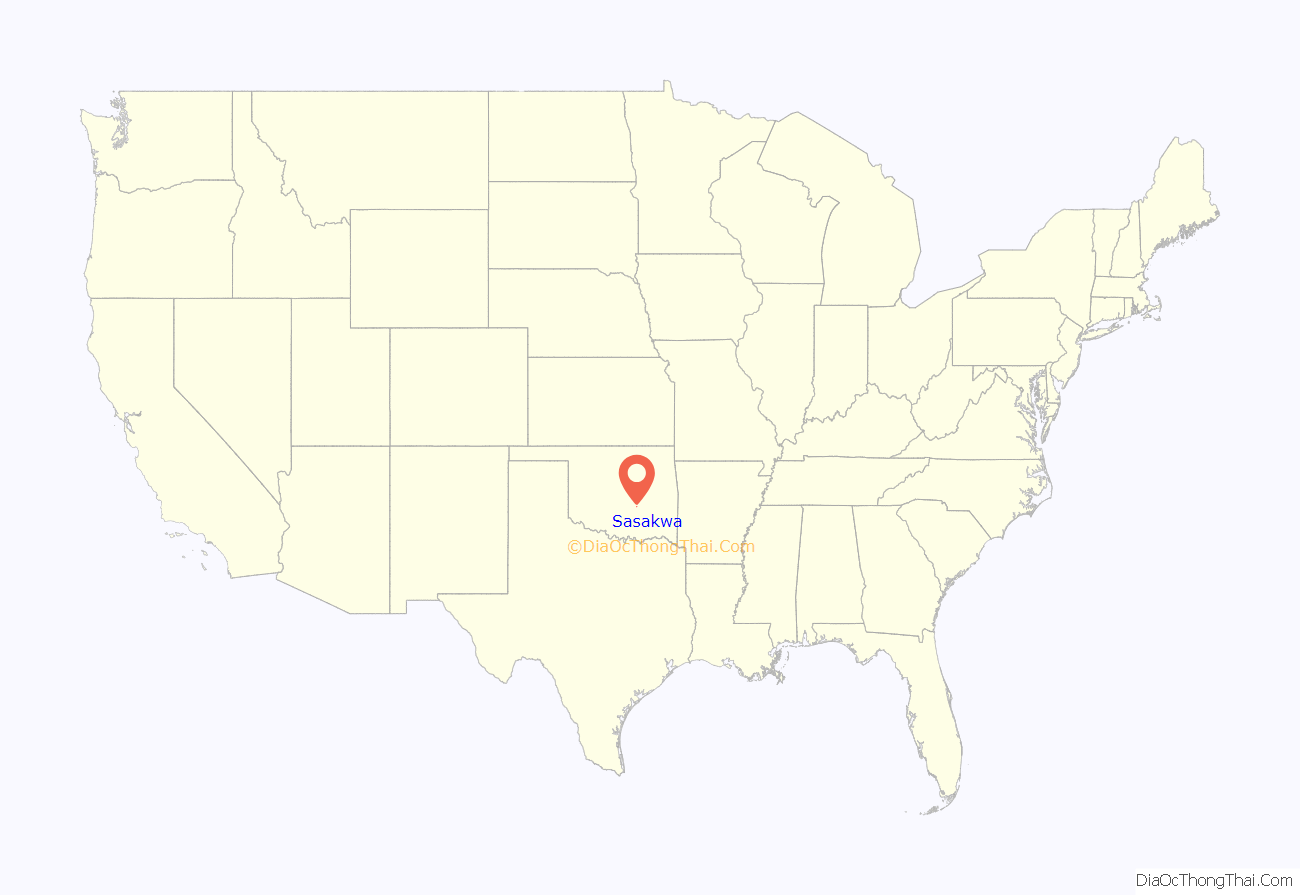
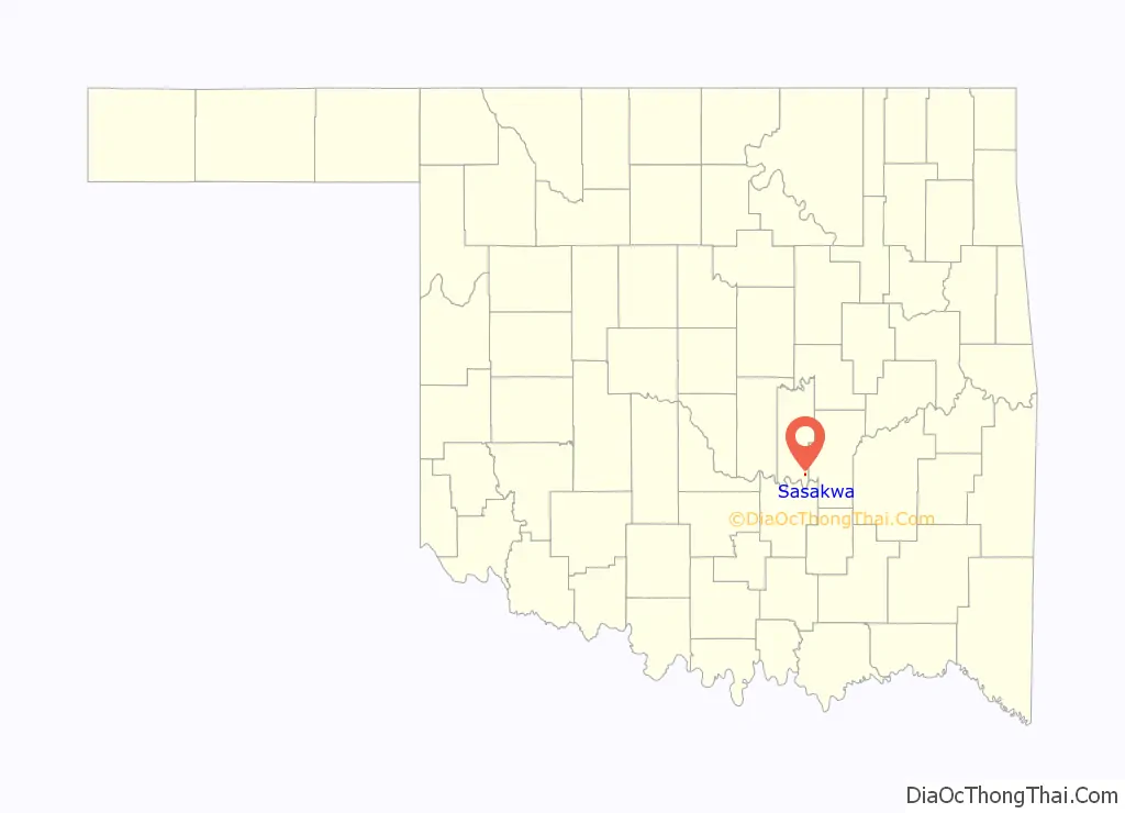
Sasakwa location map. Where is Sasakwa town?
History
Sasakwa was originally located at a site 12 miles (19 km) west of the present townsite, where Governor John E Brown, Seminole, established a trading post, cotton gin, and 16 room mansion where he fed vagrants and poor. A post office was established in 1880, and took the name from that given his trading post by Gov John E Brown, from the Seminole word meaning “wild goose”. Sasakwa Female Academy existed at Sasakwa from 1880 to 1892. At that time Sasakwa was part of the [not sure it was Creek, part of Seminole nation today] Nation in the Indian Territory. The site of the present town was moved to where the train station was located.
In 1917, hundreds of men gathered on a farm near Sasakwa to protest the draft in World War I, an event called the Green Corn Rebellion.
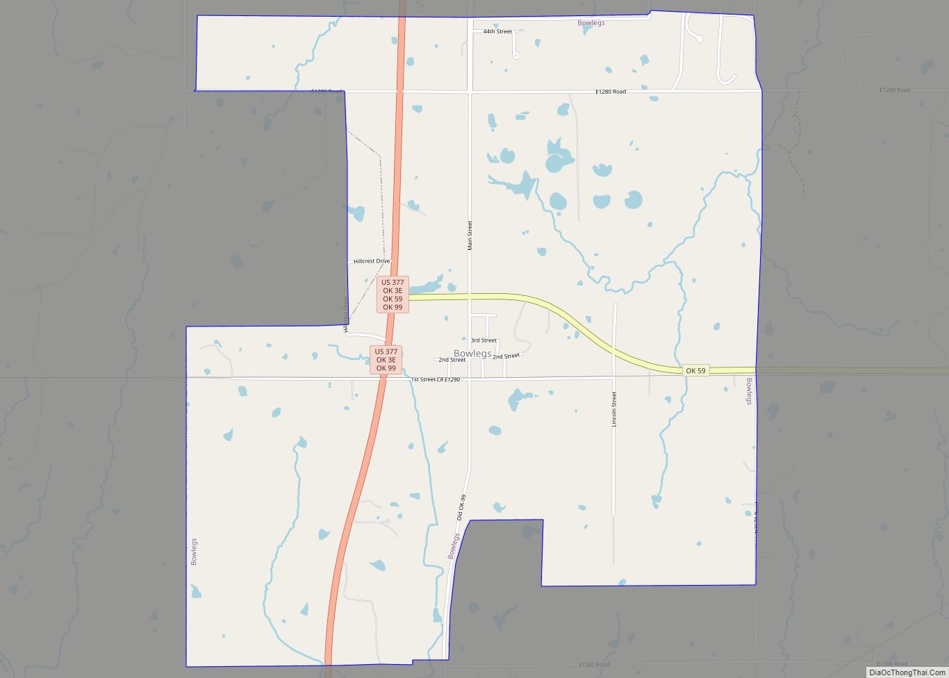
Sasakwa Road Map
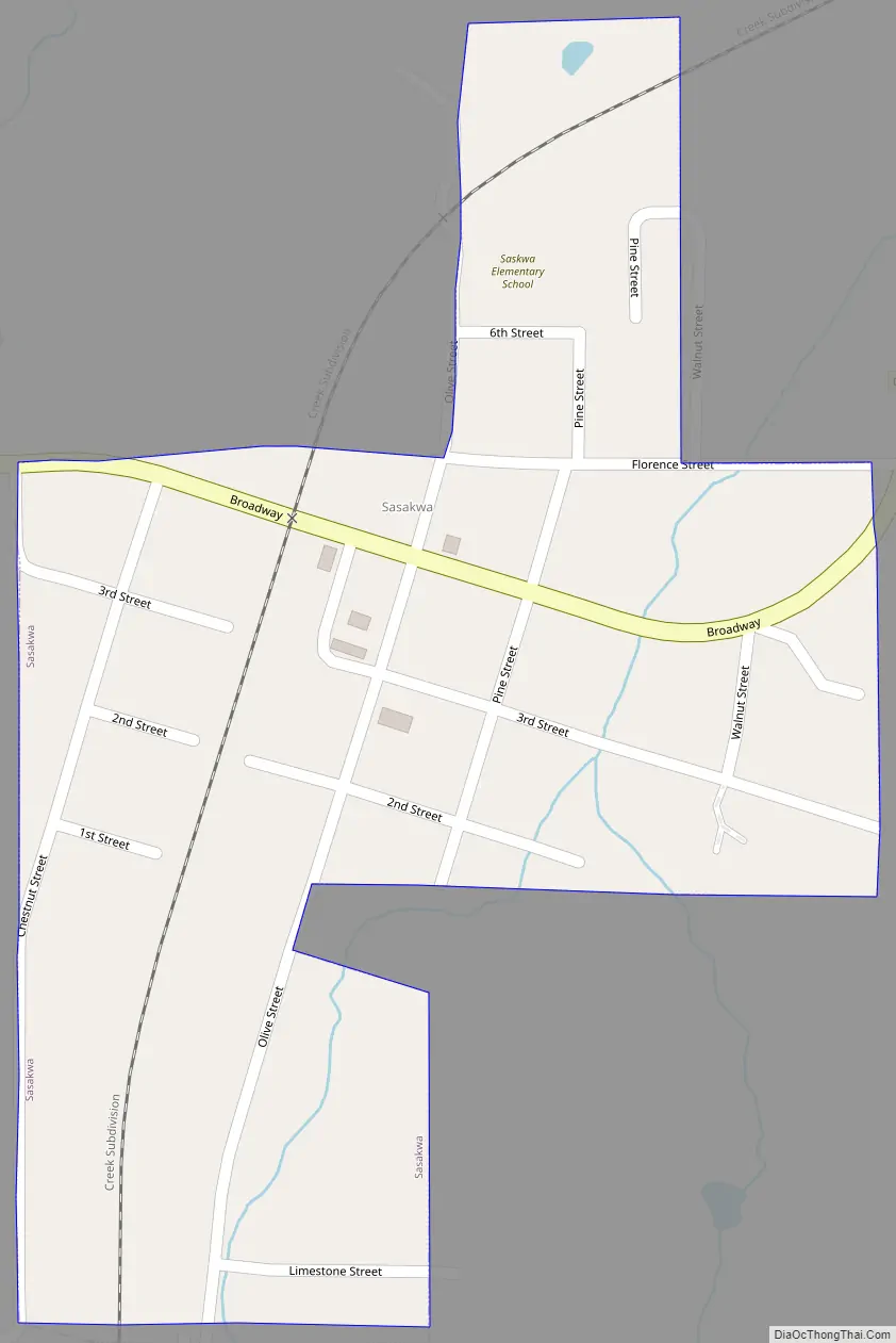
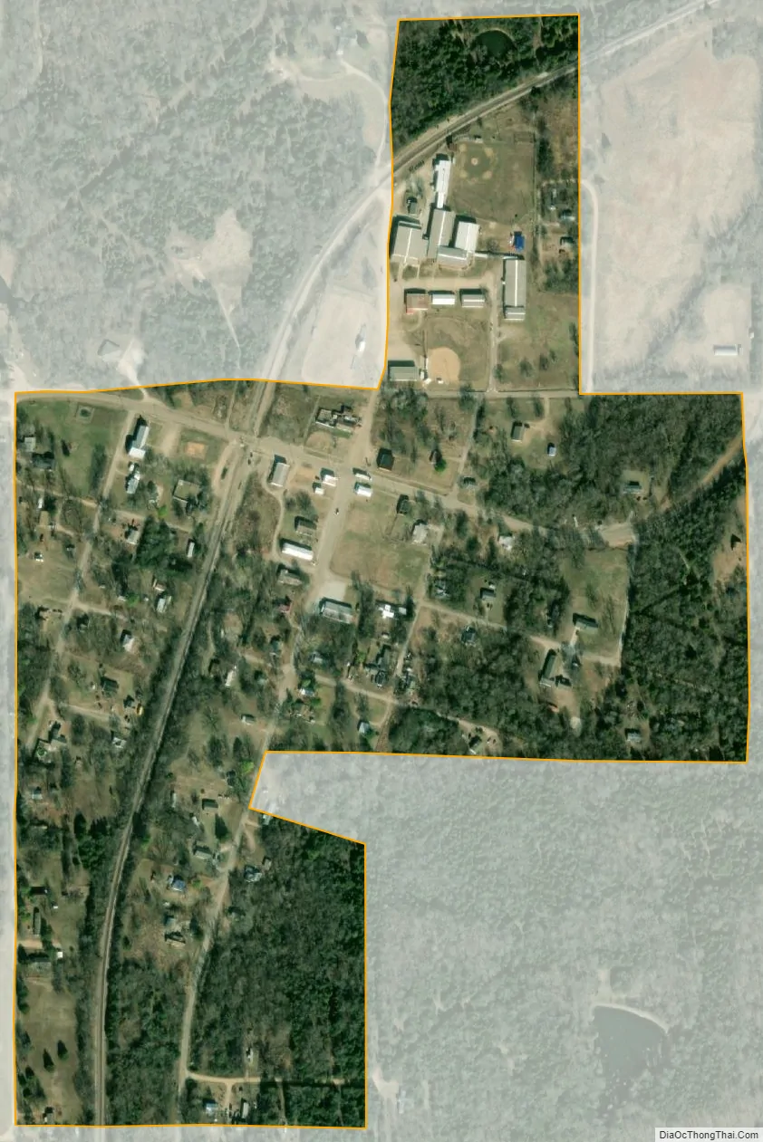
Sasakwa city Satellite Map
Geography
Sasakwa is located at 34°56′52″N 96°31′34″W / 34.94778°N 96.52611°W / 34.94778; -96.52611 (34.947915, -96.526206). It is 13 miles (21 km) south of Wewoka, the county seat. According to the United States Census Bureau, the town has a total area of 0.2 square miles (0.52 km), all land.
The town is on Oklahoma State Highway 56; Lake Konawa is to the west.
See also
Map of Oklahoma State and its subdivision:- Adair
- Alfalfa
- Atoka
- Beaver
- Beckham
- Blaine
- Bryan
- Caddo
- Canadian
- Carter
- Cherokee
- Choctaw
- Cimarron
- Cleveland
- Coal
- Comanche
- Cotton
- Craig
- Creek
- Custer
- Delaware
- Dewey
- Ellis
- Garfield
- Garvin
- Grady
- Grant
- Greer
- Harmon
- Harper
- Haskell
- Hughes
- Jackson
- Jefferson
- Johnston
- Kay
- Kingfisher
- Kiowa
- Latimer
- Le Flore
- Lincoln
- Logan
- Love
- Major
- Marshall
- Mayes
- McClain
- McCurtain
- McIntosh
- Murray
- Muskogee
- Noble
- Nowata
- Okfuskee
- Oklahoma
- Okmulgee
- Osage
- Ottawa
- Pawnee
- Payne
- Pittsburg
- Pontotoc
- Pottawatomie
- Pushmataha
- Roger Mills
- Rogers
- Seminole
- Sequoyah
- Stephens
- Texas
- Tillman
- Tulsa
- Wagoner
- Washington
- Washita
- Woods
- Woodward
- Alabama
- Alaska
- Arizona
- Arkansas
- California
- Colorado
- Connecticut
- Delaware
- District of Columbia
- Florida
- Georgia
- Hawaii
- Idaho
- Illinois
- Indiana
- Iowa
- Kansas
- Kentucky
- Louisiana
- Maine
- Maryland
- Massachusetts
- Michigan
- Minnesota
- Mississippi
- Missouri
- Montana
- Nebraska
- Nevada
- New Hampshire
- New Jersey
- New Mexico
- New York
- North Carolina
- North Dakota
- Ohio
- Oklahoma
- Oregon
- Pennsylvania
- Rhode Island
- South Carolina
- South Dakota
- Tennessee
- Texas
- Utah
- Vermont
- Virginia
- Washington
- West Virginia
- Wisconsin
- Wyoming