Silo is a town in Bryan County, Oklahoma, United States. The population was 331 at the 2010 census, an increase of 17.4 percent from the figure of 282 recorded in 2000.
| Name: | Silo town |
|---|---|
| LSAD Code: | 43 |
| LSAD Description: | town (suffix) |
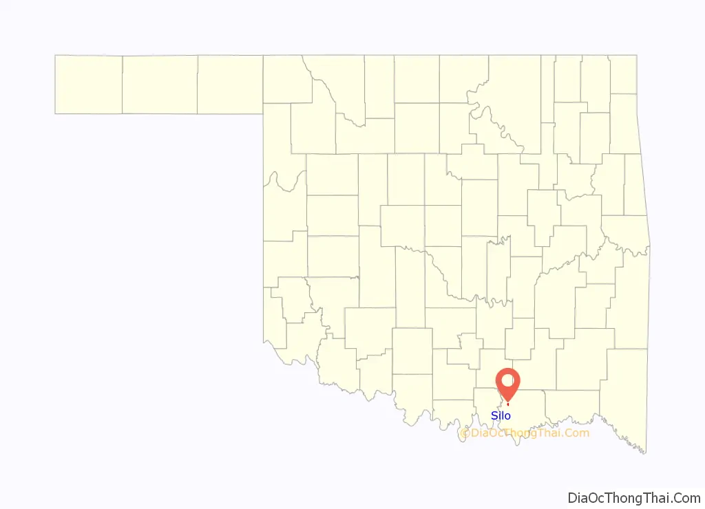
| State: | Oklahoma |
| County: | Bryan County |
| Elevation: | 817 ft (249 m) |
| Total Area: | 0.52 sq mi (1.35 km²) |
| Land Area: | 0.52 sq mi (1.35 km²) |
| Water Area: | 0.00 sq mi (0.00 km²) |
| Total Population: | 384 |
| Population Density: | 738.46/sq mi (285.00/km²) |
| FIPS code: | 4067550 |
| GNISfeature ID: | 1098038 |
Online Interactive Map
Click on ![]() to view map in "full screen" mode.
to view map in "full screen" mode.
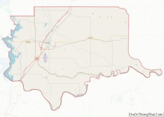
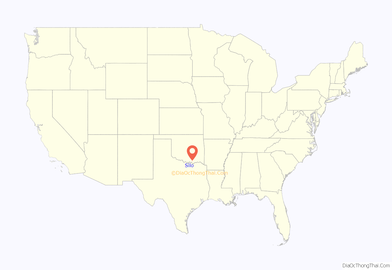
Silo location map. Where is Silo town?
History
Population was 246 in the territorial census in 1900, 180 in the special 1907 census at statehood, and 152 in the 1910 United States Census.
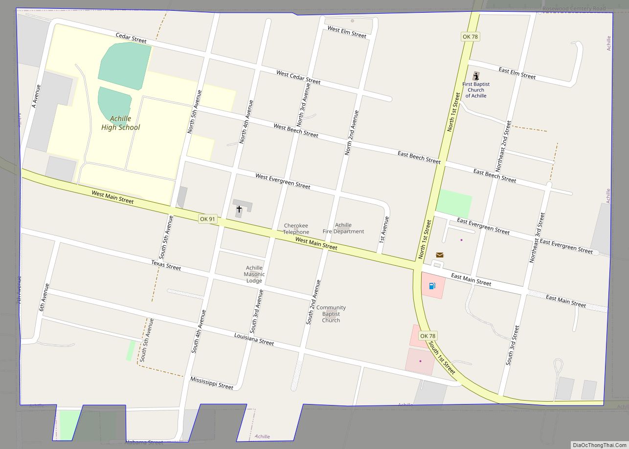
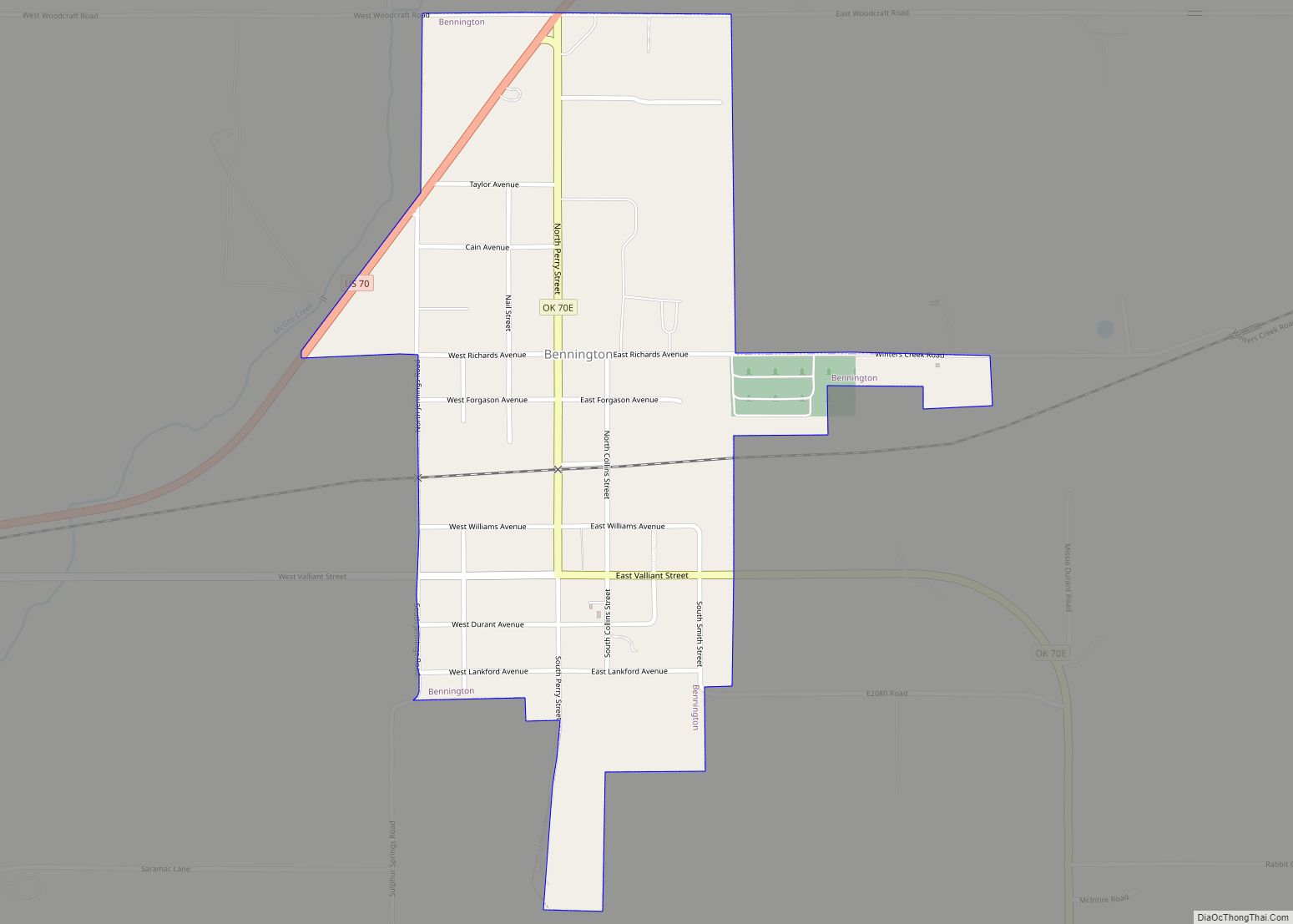
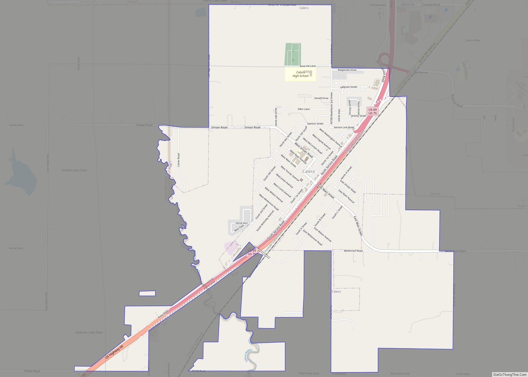
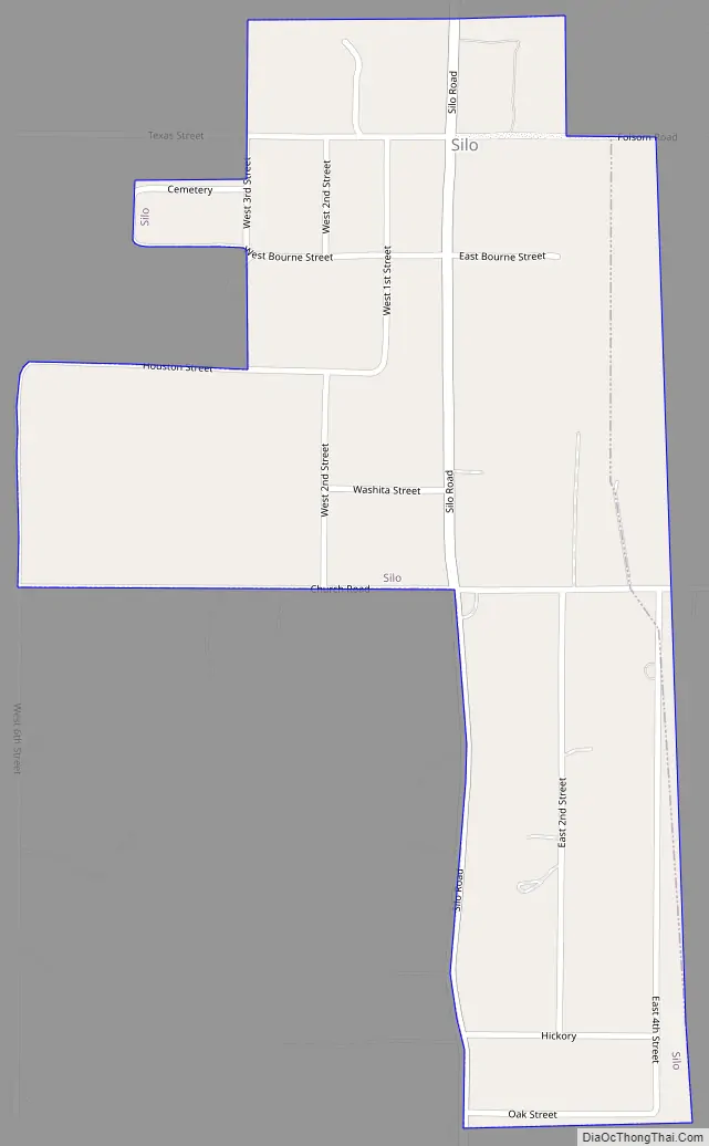
Silo Road Map
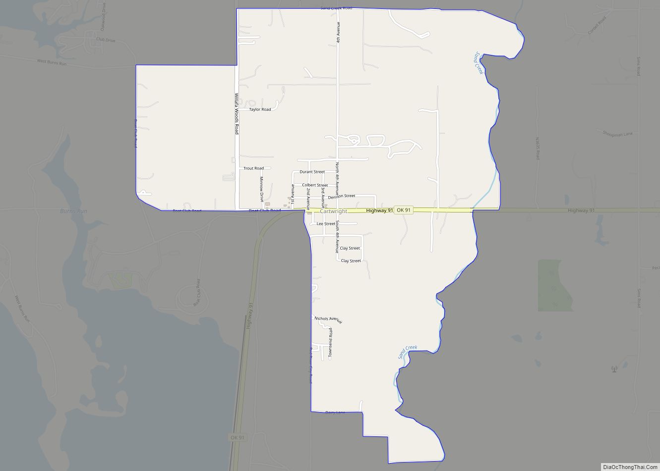
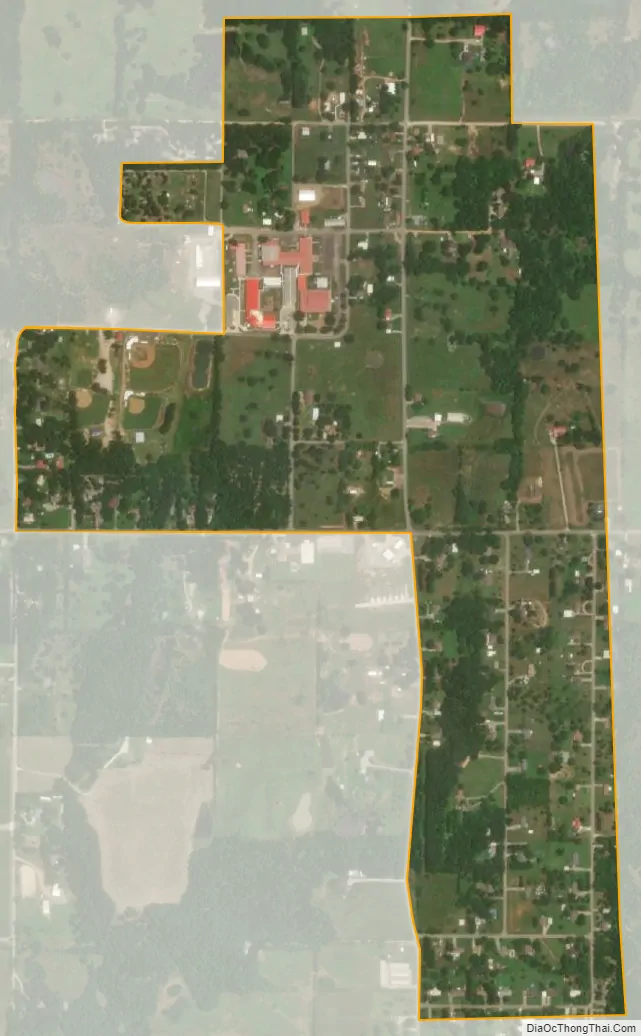
Silo city Satellite Map
Geography
Silo is located at 34°2′14″N 96°28′32″W / 34.03722°N 96.47556°W / 34.03722; -96.47556 (34.037219, -96.475645).
According to the United States Census Bureau, the town has a total area of 0.5 square miles (1.3 km), all land.
See also
Map of Oklahoma State and its subdivision:- Adair
- Alfalfa
- Atoka
- Beaver
- Beckham
- Blaine
- Bryan
- Caddo
- Canadian
- Carter
- Cherokee
- Choctaw
- Cimarron
- Cleveland
- Coal
- Comanche
- Cotton
- Craig
- Creek
- Custer
- Delaware
- Dewey
- Ellis
- Garfield
- Garvin
- Grady
- Grant
- Greer
- Harmon
- Harper
- Haskell
- Hughes
- Jackson
- Jefferson
- Johnston
- Kay
- Kingfisher
- Kiowa
- Latimer
- Le Flore
- Lincoln
- Logan
- Love
- Major
- Marshall
- Mayes
- McClain
- McCurtain
- McIntosh
- Murray
- Muskogee
- Noble
- Nowata
- Okfuskee
- Oklahoma
- Okmulgee
- Osage
- Ottawa
- Pawnee
- Payne
- Pittsburg
- Pontotoc
- Pottawatomie
- Pushmataha
- Roger Mills
- Rogers
- Seminole
- Sequoyah
- Stephens
- Texas
- Tillman
- Tulsa
- Wagoner
- Washington
- Washita
- Woods
- Woodward
- Alabama
- Alaska
- Arizona
- Arkansas
- California
- Colorado
- Connecticut
- Delaware
- District of Columbia
- Florida
- Georgia
- Hawaii
- Idaho
- Illinois
- Indiana
- Iowa
- Kansas
- Kentucky
- Louisiana
- Maine
- Maryland
- Massachusetts
- Michigan
- Minnesota
- Mississippi
- Missouri
- Montana
- Nebraska
- Nevada
- New Hampshire
- New Jersey
- New Mexico
- New York
- North Carolina
- North Dakota
- Ohio
- Oklahoma
- Oregon
- Pennsylvania
- Rhode Island
- South Carolina
- South Dakota
- Tennessee
- Texas
- Utah
- Vermont
- Virginia
- Washington
- West Virginia
- Wisconsin
- Wyoming