Spavinaw is a town in Mayes County, Oklahoma, United States. The population was 437 at the 2010 census, a decline of 22.4 percent from the figure of 563 recorded in 2000. The town is best known as the birthplace of baseball player Mickey Mantle. It is also notable for the nearby Lake Spavinaw, the principal source of water for Tulsa.
| Name: | Spavinaw town |
|---|---|
| LSAD Code: | 43 |
| LSAD Description: | town (suffix) |
| State: | Oklahoma |
| County: | Mayes County |
| Elevation: | 696 ft (212 m) |
| Total Area: | 0.41 sq mi (1.07 km²) |
| Land Area: | 0.41 sq mi (1.07 km²) |
| Water Area: | 0.00 sq mi (0.00 km²) |
| Total Population: | 350 |
| Population Density: | 845.41/sq mi (326.51/km²) |
| ZIP code: | 74366 |
| Area code: | 539/918 |
| FIPS code: | 4069050 |
| GNISfeature ID: | 1098342 |
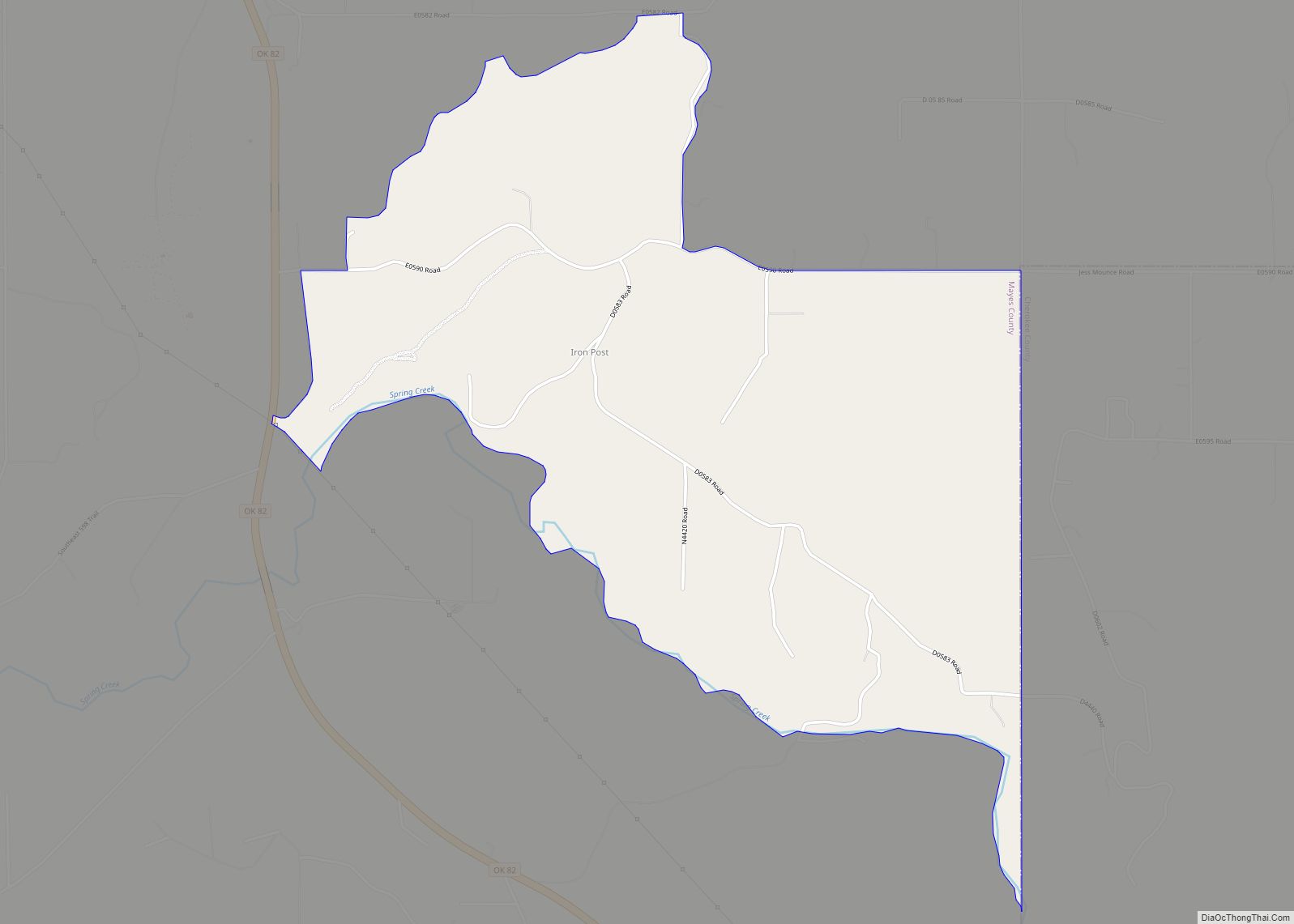
Online Interactive Map
Click on ![]() to view map in "full screen" mode.
to view map in "full screen" mode.
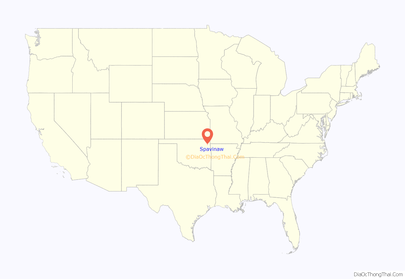
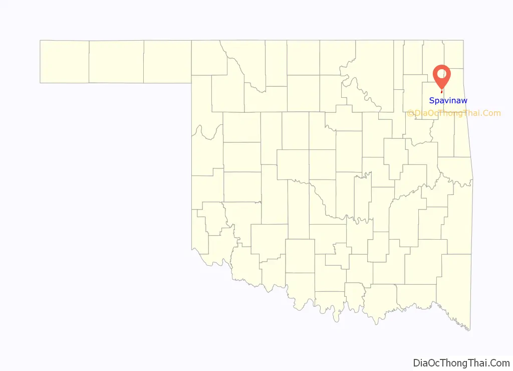
Spavinaw location map. Where is Spavinaw town?
History
The town is named for Spavinaw Creek, a stream named by French traders and explorers who travelled here in the 18th century. According to historian Muriel Wright, the French name was a corrupted form of the French word ce’pee (meaning “young growth or shoots of wood”). plus the French adjective vineux (wine colored). This term referred to a description of the color of black jack, post and red oak trees which grow here in springtime.
The first recorded settler here was Lewis Rogers, son of Captain John Rogers. Lewis set up a mill, a distillery and a salt works in 1829. In 1839, the Eastern Cherokee began moving into the Spavinaw area of Indian Territory. The Cherokee council outlawed the operation of distilleries in their area and dispossessed Rogers of his distillery and the salt works, both of which had already been damaged by a flooding of Spavinaw Creek.
In 1846, Jacob Croft, a Mormon en route to Utah, decided to settle here instead. He was hired by Joseph Lynch Martin to restore the mill. In 1855, a group of Mormon missionaries from Utah arrived at Croft’s home and began converting Cherokees and Creeks. When they began urging the converts to move to Utah, Lewis Rogers complained to the Cherokee council. In October 1856, Chief John Ross ordered all Mormons out of the Cherokee nation.
After the Civil War, Joseph “Greenbrier Joe” Lynch, brother-in-law of Joseph Lynch Martin, began operating the mill and the salt works. Greenbrier Joe had saved enough money to buy 100,000 acres (40,000 ha). The community that grew up around these works became known as Lynch’s Mill. In October 1878, the community was renamed Spavinaw Mills.
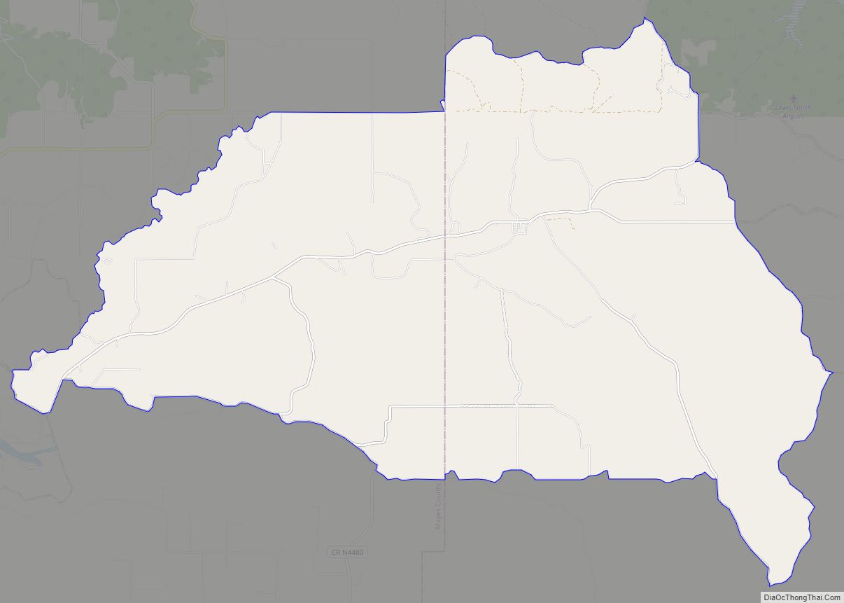
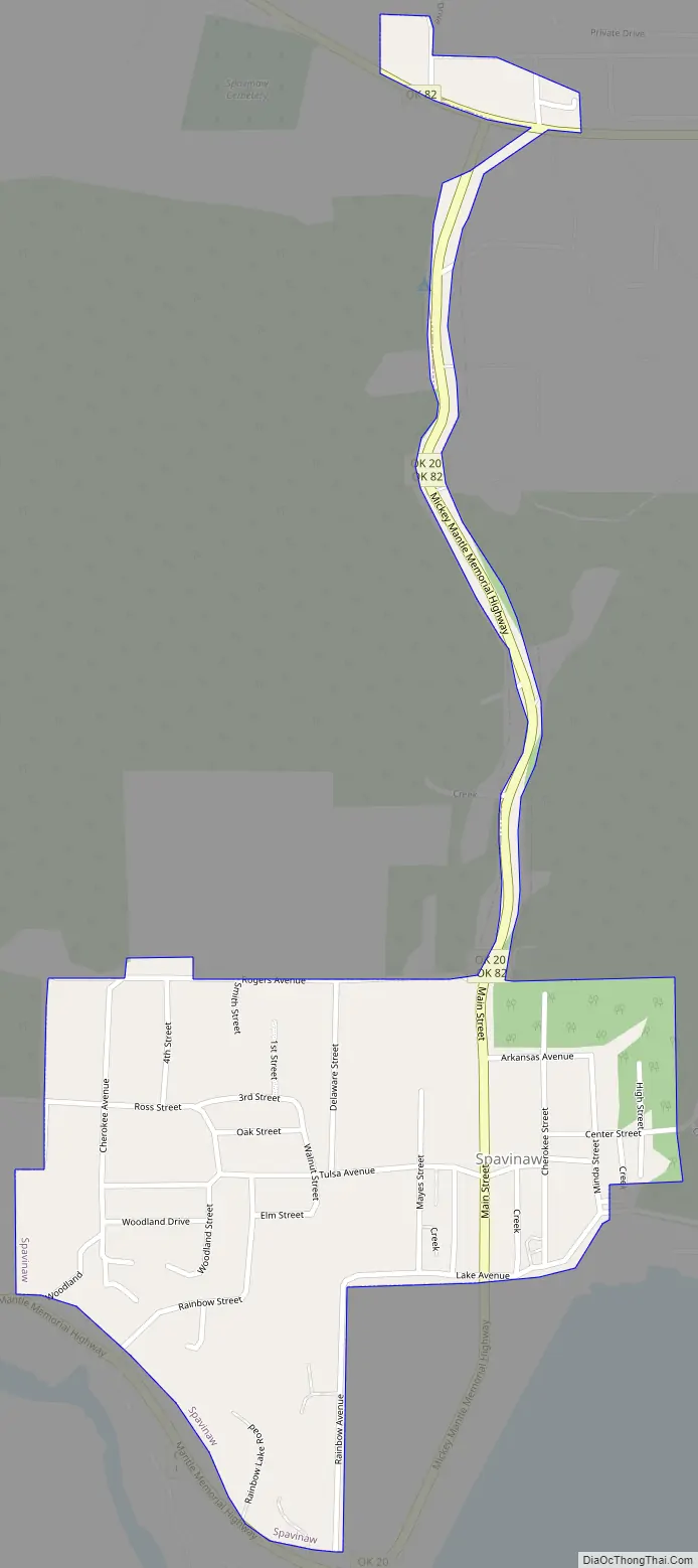
Spavinaw Road Map
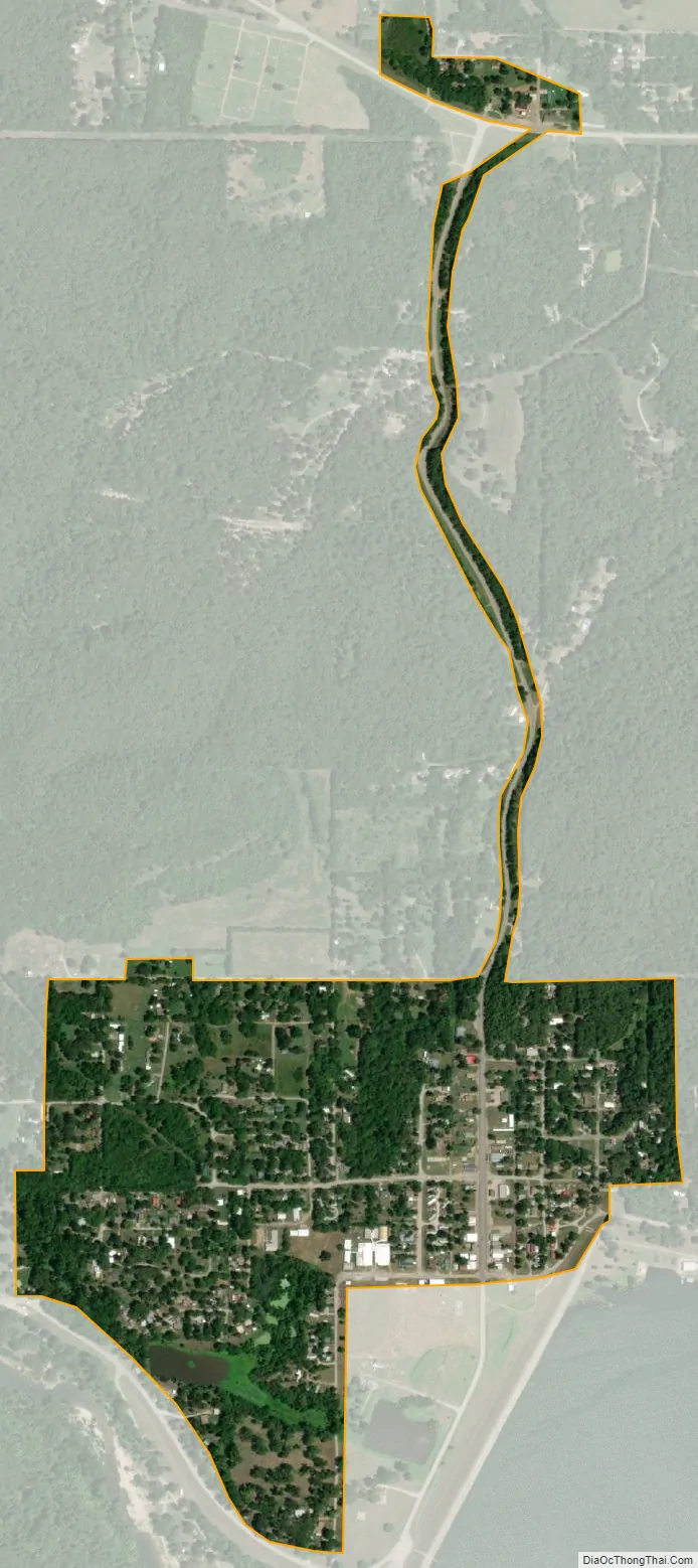
Spavinaw city Satellite Map
Geography
Spavinaw is located at 36°23′33″N 95°2′55″W / 36.39250°N 95.04861°W / 36.39250; -95.04861 (36.392585, -95.048665).
According to the United States Census Bureau, the town has a total area of 0.4 square miles (1.0 km), all land. The town is also host to Lake Spavinaw, the main water supplier of The City of Tulsa.
See also
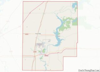
Map of Oklahoma State and its subdivision:- Adair
- Alfalfa
- Atoka
- Beaver
- Beckham
- Blaine
- Bryan
- Caddo
- Canadian
- Carter
- Cherokee
- Choctaw
- Cimarron
- Cleveland
- Coal
- Comanche
- Cotton
- Craig
- Creek
- Custer
- Delaware
- Dewey
- Ellis
- Garfield
- Garvin
- Grady
- Grant
- Greer
- Harmon
- Harper
- Haskell
- Hughes
- Jackson
- Jefferson
- Johnston
- Kay
- Kingfisher
- Kiowa
- Latimer
- Le Flore
- Lincoln
- Logan
- Love
- Major
- Marshall
- Mayes
- McClain
- McCurtain
- McIntosh
- Murray
- Muskogee
- Noble
- Nowata
- Okfuskee
- Oklahoma
- Okmulgee
- Osage
- Ottawa
- Pawnee
- Payne
- Pittsburg
- Pontotoc
- Pottawatomie
- Pushmataha
- Roger Mills
- Rogers
- Seminole
- Sequoyah
- Stephens
- Texas
- Tillman
- Tulsa
- Wagoner
- Washington
- Washita
- Woods
- Woodward
- Alabama
- Alaska
- Arizona
- Arkansas
- California
- Colorado
- Connecticut
- Delaware
- District of Columbia
- Florida
- Georgia
- Hawaii
- Idaho
- Illinois
- Indiana
- Iowa
- Kansas
- Kentucky
- Louisiana
- Maine
- Maryland
- Massachusetts
- Michigan
- Minnesota
- Mississippi
- Missouri
- Montana
- Nebraska
- Nevada
- New Hampshire
- New Jersey
- New Mexico
- New York
- North Carolina
- North Dakota
- Ohio
- Oklahoma
- Oregon
- Pennsylvania
- Rhode Island
- South Carolina
- South Dakota
- Tennessee
- Texas
- Utah
- Vermont
- Virginia
- Washington
- West Virginia
- Wisconsin
- Wyoming