St. Louis is a town in Pottawatomie County, Oklahoma, United States. The population was 158 at the 2010 census, a 23.3 percent decline from the figure of 206 in 2000.
| Name: | St. Louis town |
|---|---|
| LSAD Code: | 43 |
| LSAD Description: | town (suffix) |
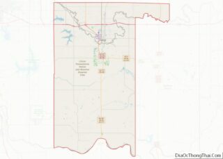
| State: | Oklahoma |
| County: | Pottawatomie County |
| Total Area: | 9.44 sq mi (24.45 km²) |
| Land Area: | 9.44 sq mi (24.45 km²) |
| Water Area: | 0.00 sq mi (0.00 km²) |
| Total Population: | 121 |
| Population Density: | 12.82/sq mi (4.95/km²) |
| ZIP code: | 74866 |
| FIPS code: | 4064850 |
Online Interactive Map
Click on ![]() to view map in "full screen" mode.
to view map in "full screen" mode.
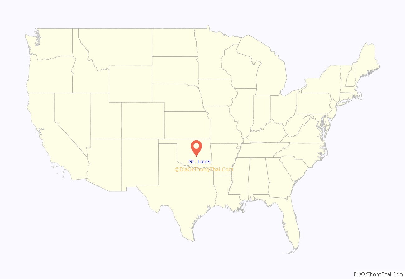
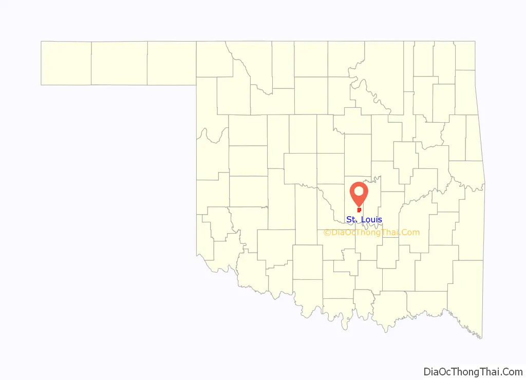
St. Louis location map. Where is St. Louis town?
History
St. Louis originally began in 1906 as a community named Simpsonville when J. R. Simpson opened a cotton gin, a gristmill and then a general store. It is unclear when the name of the community was changed to St. Louis. A town plat was not filed until March 9, 1927 and a post office was established in 1928.
Except for a brief oil boom in the 1920s, the town’s economy has been based on serving local cotton farmers.
The population peaked at 493 residents in 1930 before declining in subsequent decades. It recovered back to 206 residents in 2000, but has declined more in recent times.
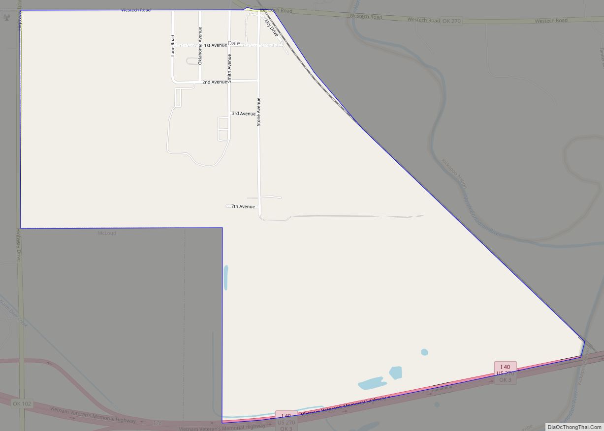
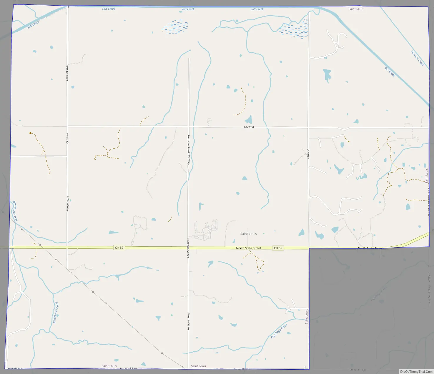
St. Louis Road Map
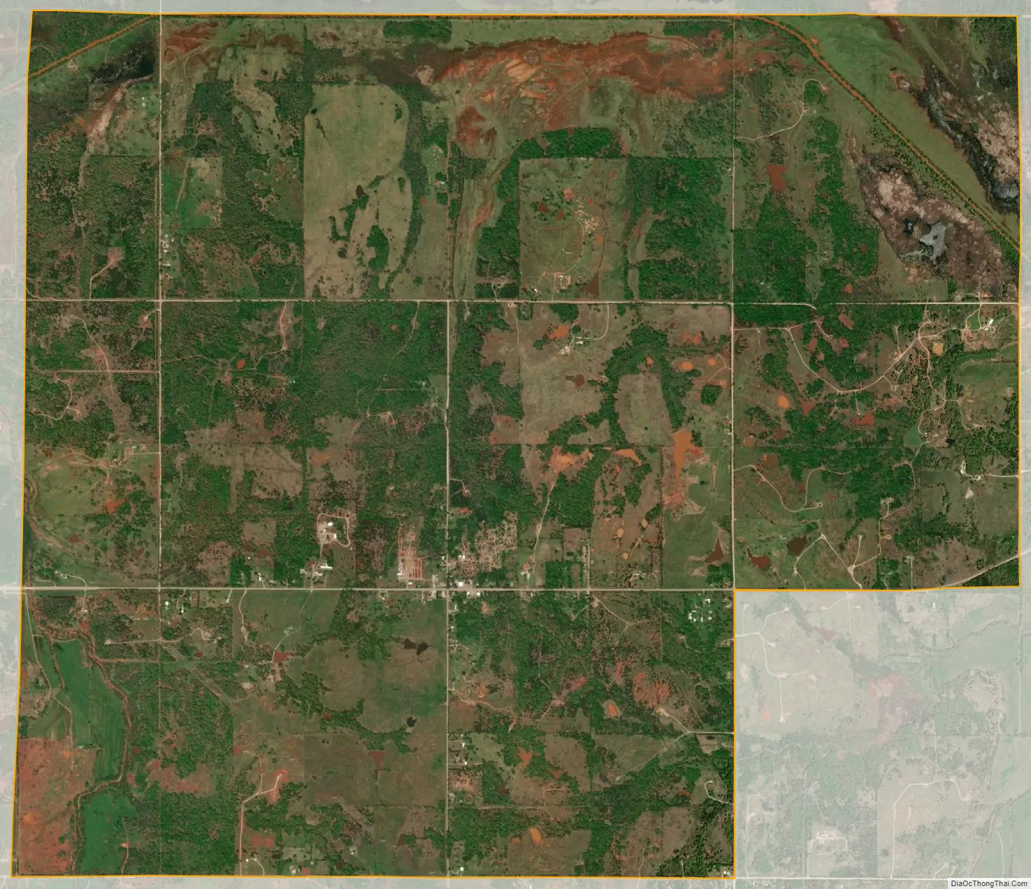
St. Louis city Satellite Map
Geography
St. Louis is located at 35°4′47″N 96°52′14″W / 35.07972°N 96.87056°W / 35.07972; -96.87056 (35.079752, -96.870612). According to the United States Census Bureau, the town has a total area of 9.4 square miles (24 km), all land.
St. Louis is located southwest of Seminole on Oklahoma State Highway 59. It is northwest of Lake Konawa.
See also
Map of Oklahoma State and its subdivision:- Adair
- Alfalfa
- Atoka
- Beaver
- Beckham
- Blaine
- Bryan
- Caddo
- Canadian
- Carter
- Cherokee
- Choctaw
- Cimarron
- Cleveland
- Coal
- Comanche
- Cotton
- Craig
- Creek
- Custer
- Delaware
- Dewey
- Ellis
- Garfield
- Garvin
- Grady
- Grant
- Greer
- Harmon
- Harper
- Haskell
- Hughes
- Jackson
- Jefferson
- Johnston
- Kay
- Kingfisher
- Kiowa
- Latimer
- Le Flore
- Lincoln
- Logan
- Love
- Major
- Marshall
- Mayes
- McClain
- McCurtain
- McIntosh
- Murray
- Muskogee
- Noble
- Nowata
- Okfuskee
- Oklahoma
- Okmulgee
- Osage
- Ottawa
- Pawnee
- Payne
- Pittsburg
- Pontotoc
- Pottawatomie
- Pushmataha
- Roger Mills
- Rogers
- Seminole
- Sequoyah
- Stephens
- Texas
- Tillman
- Tulsa
- Wagoner
- Washington
- Washita
- Woods
- Woodward
- Alabama
- Alaska
- Arizona
- Arkansas
- California
- Colorado
- Connecticut
- Delaware
- District of Columbia
- Florida
- Georgia
- Hawaii
- Idaho
- Illinois
- Indiana
- Iowa
- Kansas
- Kentucky
- Louisiana
- Maine
- Maryland
- Massachusetts
- Michigan
- Minnesota
- Mississippi
- Missouri
- Montana
- Nebraska
- Nevada
- New Hampshire
- New Jersey
- New Mexico
- New York
- North Carolina
- North Dakota
- Ohio
- Oklahoma
- Oregon
- Pennsylvania
- Rhode Island
- South Carolina
- South Dakota
- Tennessee
- Texas
- Utah
- Vermont
- Virginia
- Washington
- West Virginia
- Wisconsin
- Wyoming