Sweetwater is a town in Beckham and Roger Mills Counties in the U.S. state of Oklahoma. It was incorporated in 1998. As of the 2010 census it had a population of 87.
| Name: | Sweetwater town |
|---|---|
| LSAD Code: | 43 |
| LSAD Description: | town (suffix) |
| State: | Oklahoma |
| County: | Beckham County, Roger Mills County |
| Elevation: | 2,172 ft (662 m) |
| Total Area: | 15.87 sq mi (41.11 km²) |
| Land Area: | 15.86 sq mi (41.07 km²) |
| Water Area: | 0.02 sq mi (0.04 km²) |
| Total Population: | 102 |
| Population Density: | 6.43/sq mi (2.48/km²) |
| ZIP code: | 73666 |
| FIPS code: | 4071900 |
| GNISfeature ID: | 1098690 |
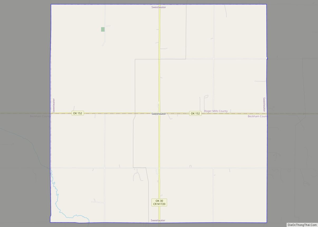
Online Interactive Map
Click on ![]() to view map in "full screen" mode.
to view map in "full screen" mode.
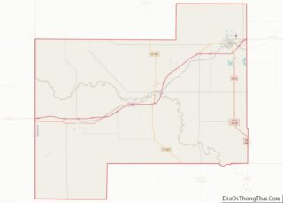
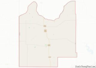
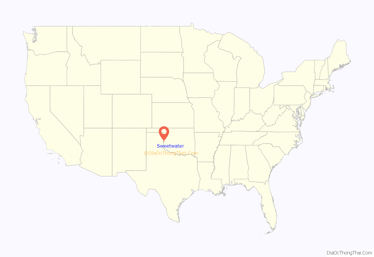
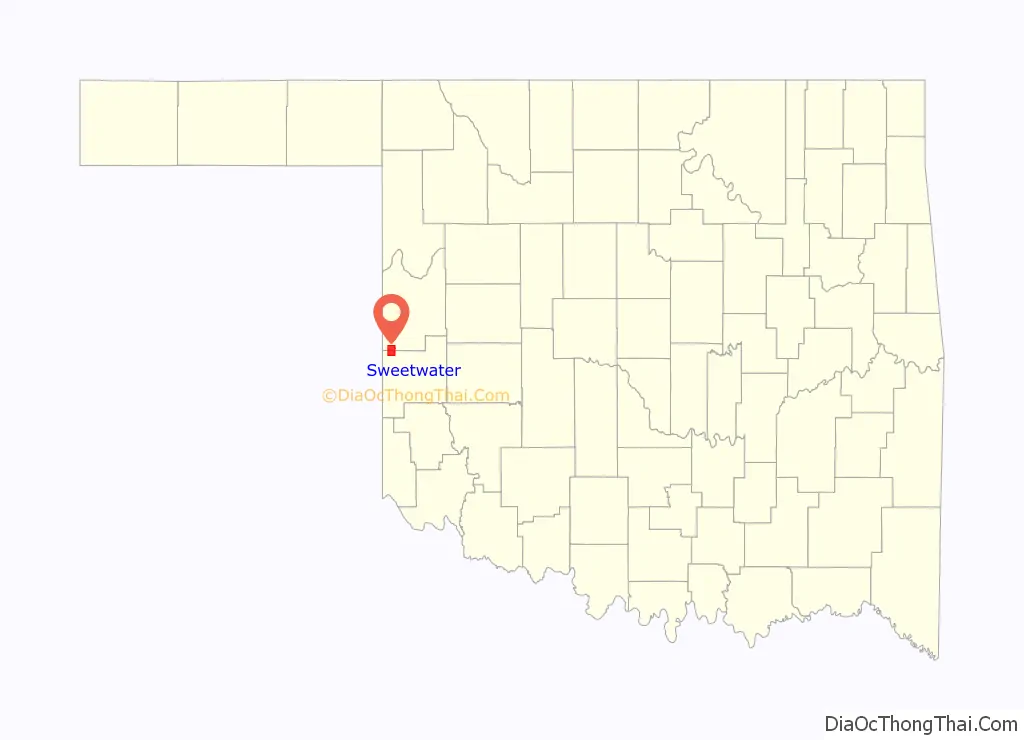
Sweetwater location map. Where is Sweetwater town?
History
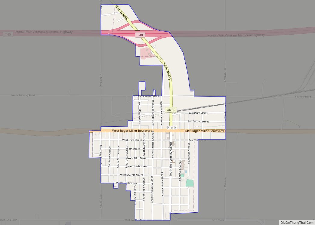
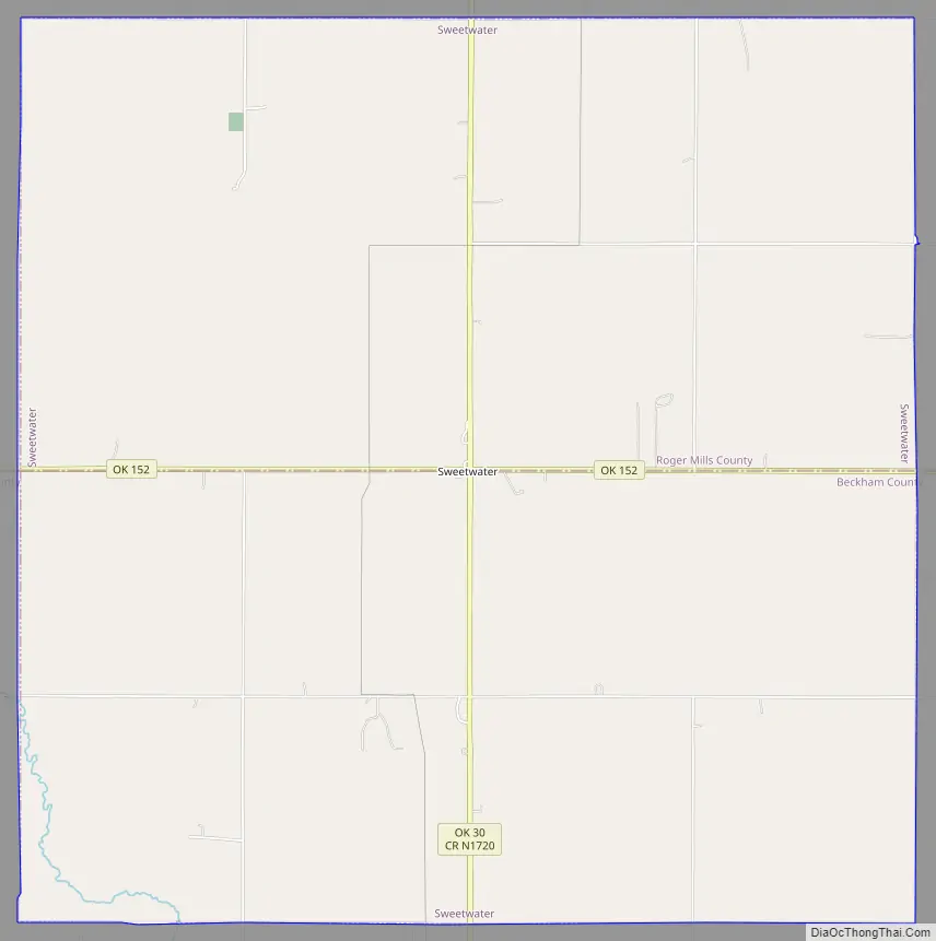
Named for nearby Sweetwater Creek, the town is at the junction of State Highway 30 and State Highway 152. Sweetwater originated around the time of the Cheyenne-Arapaho land opening in 1892. A post office for Sweetwater was established September 27, 1894 (current zip code 73666). By 1910, the community had an estimated population of 50, two general stores, a dry goods–grocery store, a cotton gin, and a fuel company. The residents expected the construction of a railroad through the area, but none was built, which limited further growth. The town did expand to about 100 people around the time of World War I, based on being an agricultural service center for the surrounding township, and the postmaster estimated 150 in the 1930s. However, the population started a decline even before World War II, as improved roads and automobile transportation carried business south to Erick or east to Elk City.
On May 5, 2007, a tornado, rated EF3 on the enhanced Fujita scale, traveled on a path around 100 to 150 yards (91 to 137 m) wide and 7.5 miles (12.1 km) long. It began about 2.5 miles (4.0 km) south of Sweetwater and ended roughly 5 miles (8 km) north of Sweetwater, following State Highway 30. EF3 wind speeds range from 136 to 165 miles per hour (219 to 266 km/h). It severely damaged several buildings in the town, including the church and high school, and destroyed eight homes.
Sweetwater Road Map
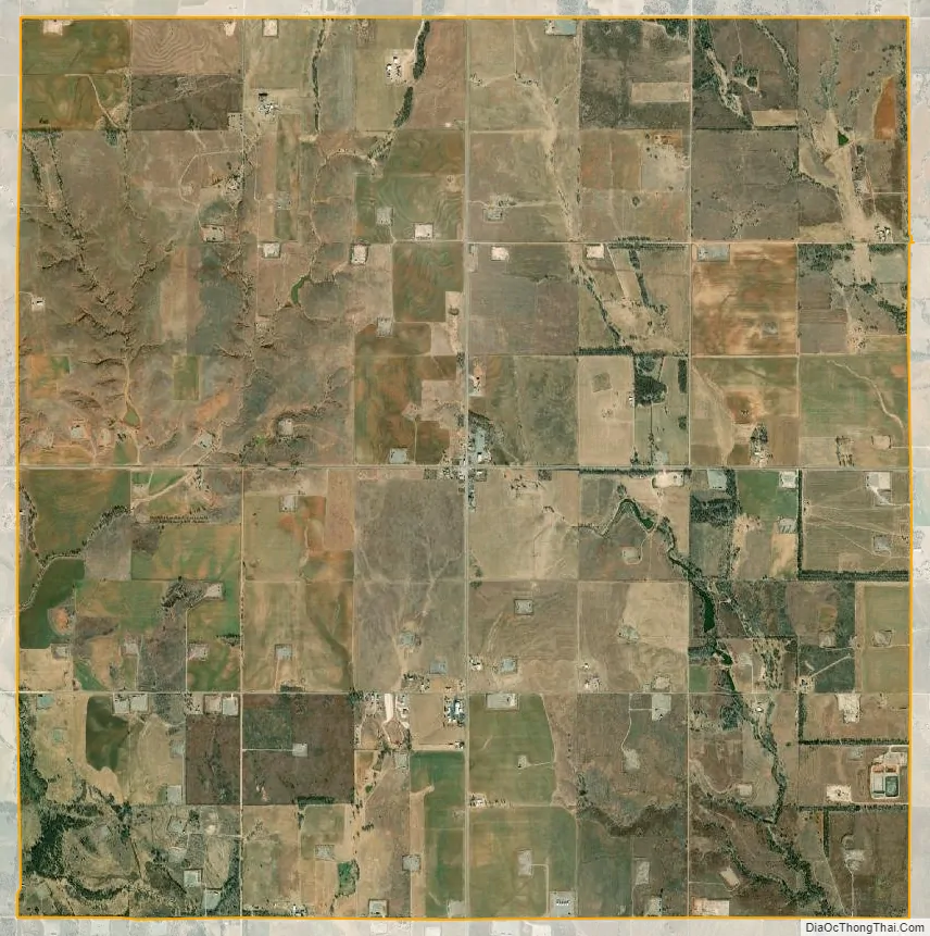
Sweetwater city Satellite Map
See also
Map of Oklahoma State and its subdivision:- Adair
- Alfalfa
- Atoka
- Beaver
- Beckham
- Blaine
- Bryan
- Caddo
- Canadian
- Carter
- Cherokee
- Choctaw
- Cimarron
- Cleveland
- Coal
- Comanche
- Cotton
- Craig
- Creek
- Custer
- Delaware
- Dewey
- Ellis
- Garfield
- Garvin
- Grady
- Grant
- Greer
- Harmon
- Harper
- Haskell
- Hughes
- Jackson
- Jefferson
- Johnston
- Kay
- Kingfisher
- Kiowa
- Latimer
- Le Flore
- Lincoln
- Logan
- Love
- Major
- Marshall
- Mayes
- McClain
- McCurtain
- McIntosh
- Murray
- Muskogee
- Noble
- Nowata
- Okfuskee
- Oklahoma
- Okmulgee
- Osage
- Ottawa
- Pawnee
- Payne
- Pittsburg
- Pontotoc
- Pottawatomie
- Pushmataha
- Roger Mills
- Rogers
- Seminole
- Sequoyah
- Stephens
- Texas
- Tillman
- Tulsa
- Wagoner
- Washington
- Washita
- Woods
- Woodward
- Alabama
- Alaska
- Arizona
- Arkansas
- California
- Colorado
- Connecticut
- Delaware
- District of Columbia
- Florida
- Georgia
- Hawaii
- Idaho
- Illinois
- Indiana
- Iowa
- Kansas
- Kentucky
- Louisiana
- Maine
- Maryland
- Massachusetts
- Michigan
- Minnesota
- Mississippi
- Missouri
- Montana
- Nebraska
- Nevada
- New Hampshire
- New Jersey
- New Mexico
- New York
- North Carolina
- North Dakota
- Ohio
- Oklahoma
- Oregon
- Pennsylvania
- Rhode Island
- South Carolina
- South Dakota
- Tennessee
- Texas
- Utah
- Vermont
- Virginia
- Washington
- West Virginia
- Wisconsin
- Wyoming