Terlton is a town in Pawnee County, Oklahoma, United States. It is located one-half mile south of US 412/US 64 on Terlton Road and County Road E0570. The population was 106 at the 2010 census, a gain of 24.7 percent over the figure of 85 in 2000.
| Name: | Terlton town |
|---|---|
| LSAD Code: | 43 |
| LSAD Description: | town (suffix) |
| State: | Oklahoma |
| County: | Pawnee County |
| Elevation: | 787 ft (240 m) |
| Total Area: | 0.16 sq mi (0.41 km²) |
| Land Area: | 0.16 sq mi (0.41 km²) |
| Water Area: | 0.00 sq mi (0.00 km²) |
| Total Population: | 77 |
| Population Density: | 487.34/sq mi (187.85/km²) |
| ZIP code: | 74081 |
| Area code: | 539/918 |
| FIPS code: | 4072850 |
| GNISfeature ID: | 1098811 |
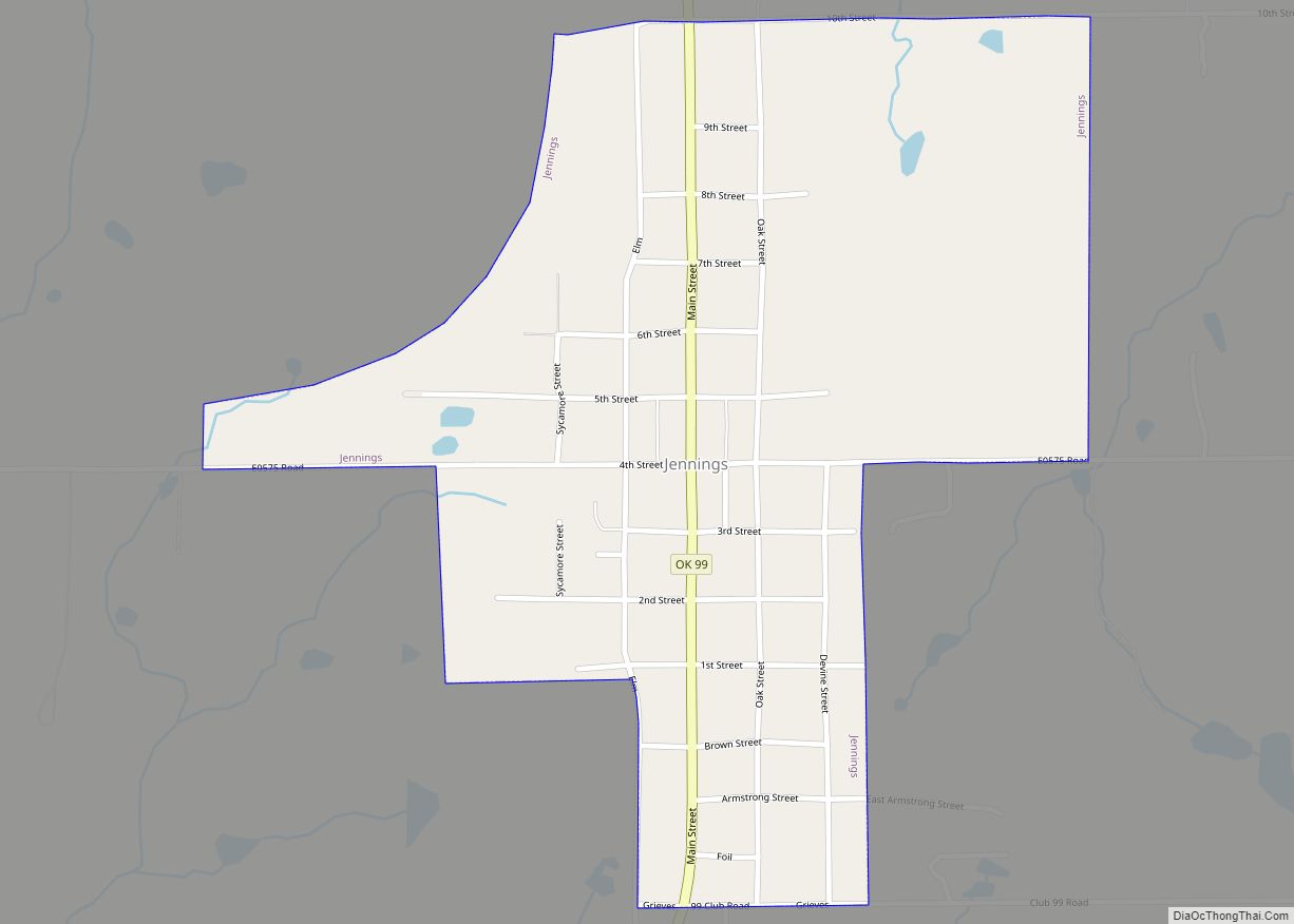
Online Interactive Map
Click on ![]() to view map in "full screen" mode.
to view map in "full screen" mode.
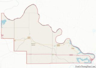
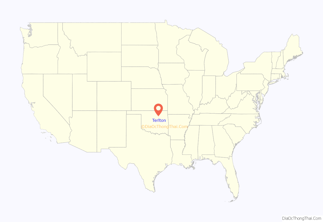
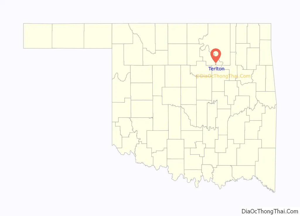
Terlton location map. Where is Terlton town?
History
The community started forming not long after the Cherokee Outlet opening on September 16, 1893. A post office was established November 30, 1894, and town was named Terlton for a member of the first territorial legislature, Ira N. Terrell. The Arkansas Valley and Western Railway later the St. Louis and San Francisco Railway) built through town in the 1902-1903 timeframe, and Terlton developed into a trade center for the local agricultural industry. Oil was discovered in the vicinity about 1914, and oil-related industries like pipelines, tank farms and refining supported the town into the 1930s. In more recent years, Terlton has become a commuter town whose residents work in other locations and commute back to Terlton to live.
On Thursday April 26, 1984, a large nighttime F4 tornado struck the small town, killing three people and injuring over 30. This happened the same night as a tornado killed eight and injured nearly 100 in Morris, Oklahoma in Okmulgee County, 60 miles (97 km) to the southeast.
In 1985 an explosion at the Aerlex Corp. fireworks plant in town killed 21 people, about one-quarter of the community at that time. A short-film documentary, “Terlton,” debuted in 2019, documenting how the town has dealt with the tragedy.
Terlton was one of the filming sites for principal photography on Season One of the FX comedy series Reservation Dogs from filmmaker Sterlin Harjo, which concerns four Native American teens in rural Oklahoma.
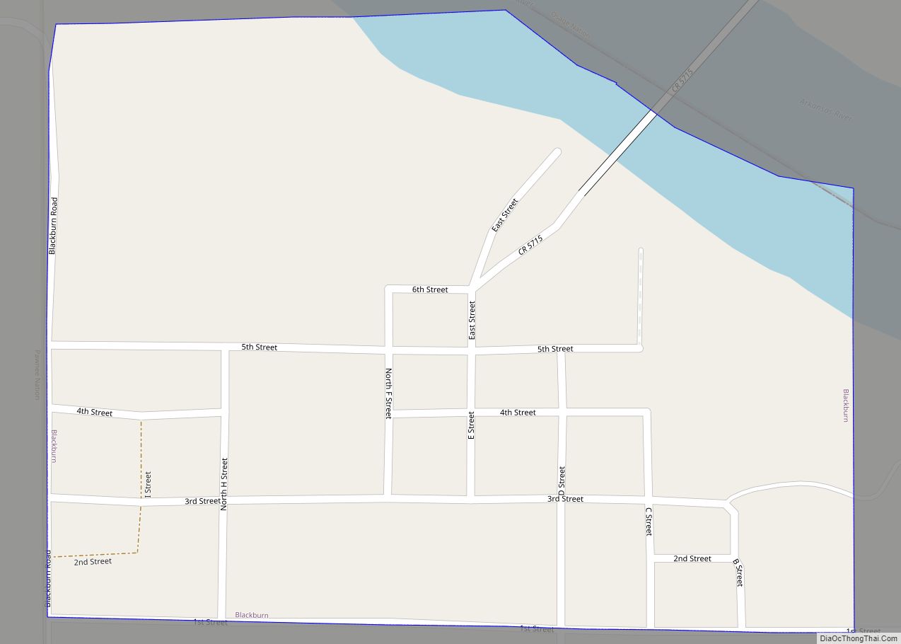
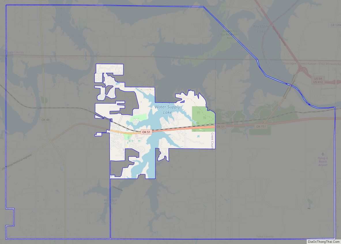
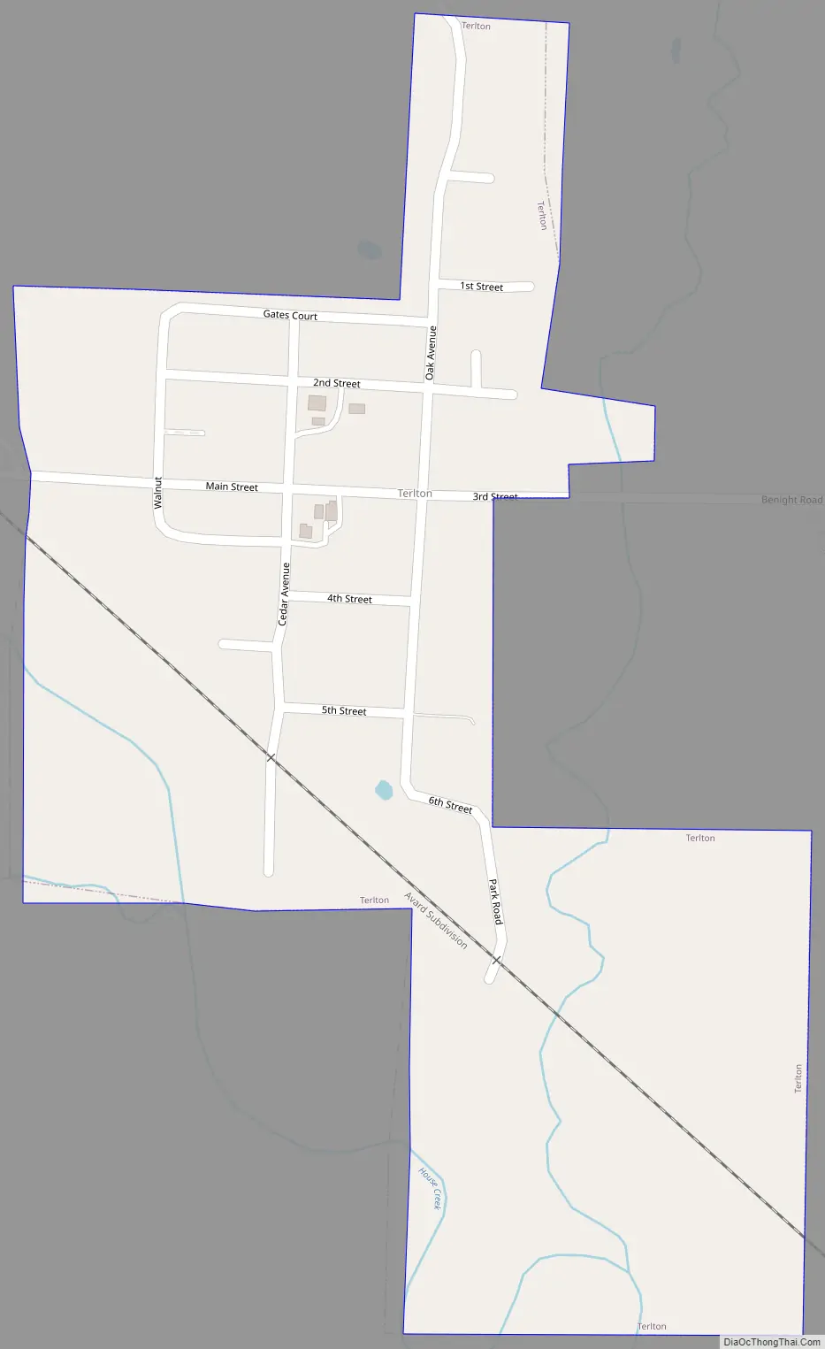
Terlton Road Map
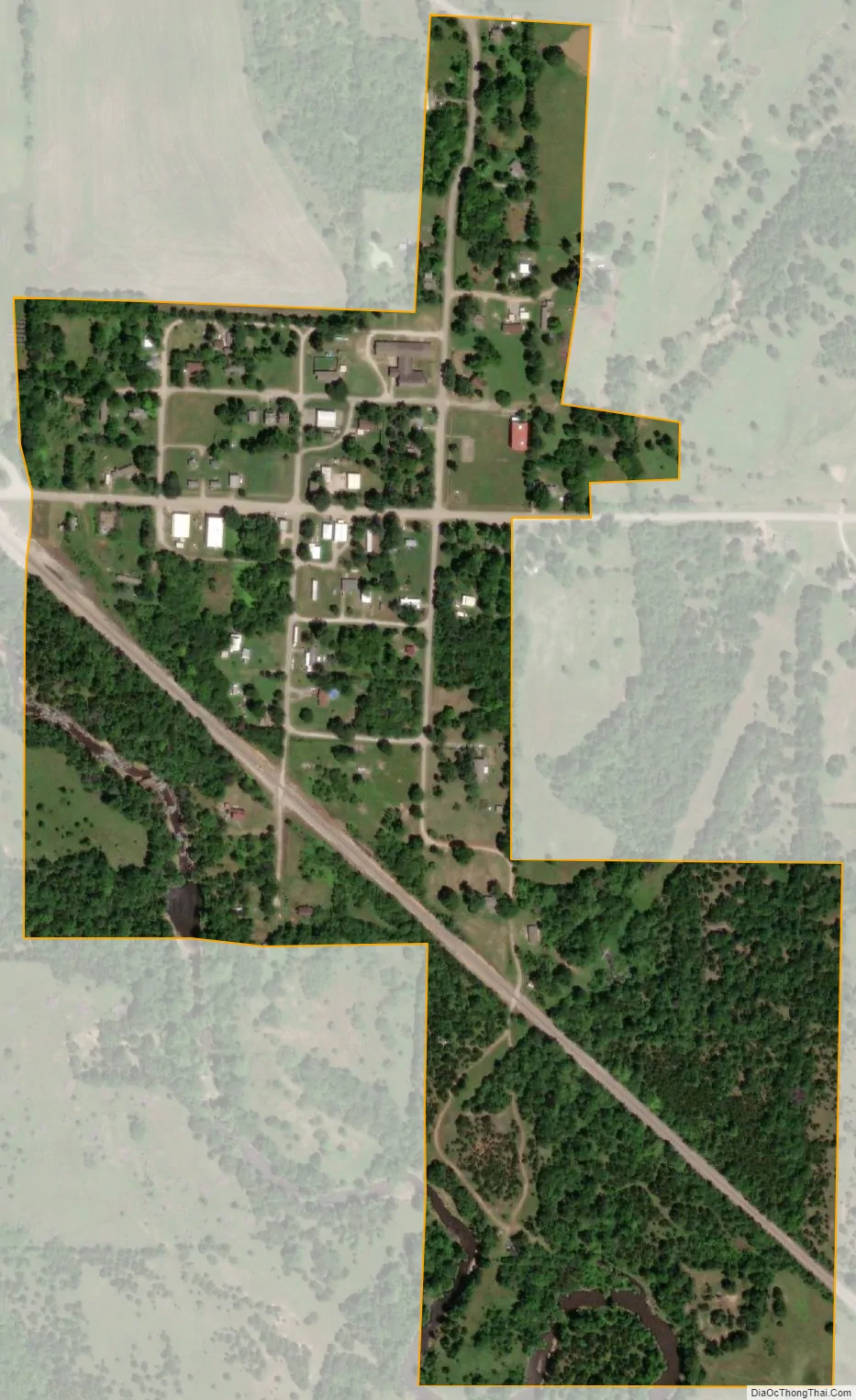
Terlton city Satellite Map
Geography
Terlton is located at 36°11′16″N 96°29′28″W / 36.187748°N 96.491109°W / 36.187748; -96.491109. According to the United States Census Bureau, the town has a total area of 0.2 square miles (0.52 km), all land.
See also
Map of Oklahoma State and its subdivision:- Adair
- Alfalfa
- Atoka
- Beaver
- Beckham
- Blaine
- Bryan
- Caddo
- Canadian
- Carter
- Cherokee
- Choctaw
- Cimarron
- Cleveland
- Coal
- Comanche
- Cotton
- Craig
- Creek
- Custer
- Delaware
- Dewey
- Ellis
- Garfield
- Garvin
- Grady
- Grant
- Greer
- Harmon
- Harper
- Haskell
- Hughes
- Jackson
- Jefferson
- Johnston
- Kay
- Kingfisher
- Kiowa
- Latimer
- Le Flore
- Lincoln
- Logan
- Love
- Major
- Marshall
- Mayes
- McClain
- McCurtain
- McIntosh
- Murray
- Muskogee
- Noble
- Nowata
- Okfuskee
- Oklahoma
- Okmulgee
- Osage
- Ottawa
- Pawnee
- Payne
- Pittsburg
- Pontotoc
- Pottawatomie
- Pushmataha
- Roger Mills
- Rogers
- Seminole
- Sequoyah
- Stephens
- Texas
- Tillman
- Tulsa
- Wagoner
- Washington
- Washita
- Woods
- Woodward
- Alabama
- Alaska
- Arizona
- Arkansas
- California
- Colorado
- Connecticut
- Delaware
- District of Columbia
- Florida
- Georgia
- Hawaii
- Idaho
- Illinois
- Indiana
- Iowa
- Kansas
- Kentucky
- Louisiana
- Maine
- Maryland
- Massachusetts
- Michigan
- Minnesota
- Mississippi
- Missouri
- Montana
- Nebraska
- Nevada
- New Hampshire
- New Jersey
- New Mexico
- New York
- North Carolina
- North Dakota
- Ohio
- Oklahoma
- Oregon
- Pennsylvania
- Rhode Island
- South Carolina
- South Dakota
- Tennessee
- Texas
- Utah
- Vermont
- Virginia
- Washington
- West Virginia
- Wisconsin
- Wyoming