Terral is an agricultural town in Jefferson County, Oklahoma, United States. The population was 382 at the 2010 census, a decline of 1.01 percent from the figure of 386 in 2000.
| Name: | Terral town |
|---|---|
| LSAD Code: | 43 |
| LSAD Description: | town (suffix) |
| State: | Oklahoma |
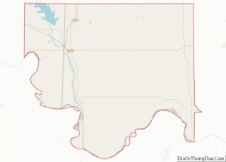
| County: | Jefferson County |
| Elevation: | 846 ft (258 m) |
| Total Area: | 0.43 sq mi (1.10 km²) |
| Land Area: | 0.43 sq mi (1.10 km²) |
| Water Area: | 0.00 sq mi (0.00 km²) 0.0% |
| Total Population: | 280 |
| Population Density: | 657.28/sq mi (253.88/km²) |
| ZIP code: | 73561, 73569 |
| Area code: | 580 |
| FIPS code: | 4072900 |
| GNISfeature ID: | 1098813 |
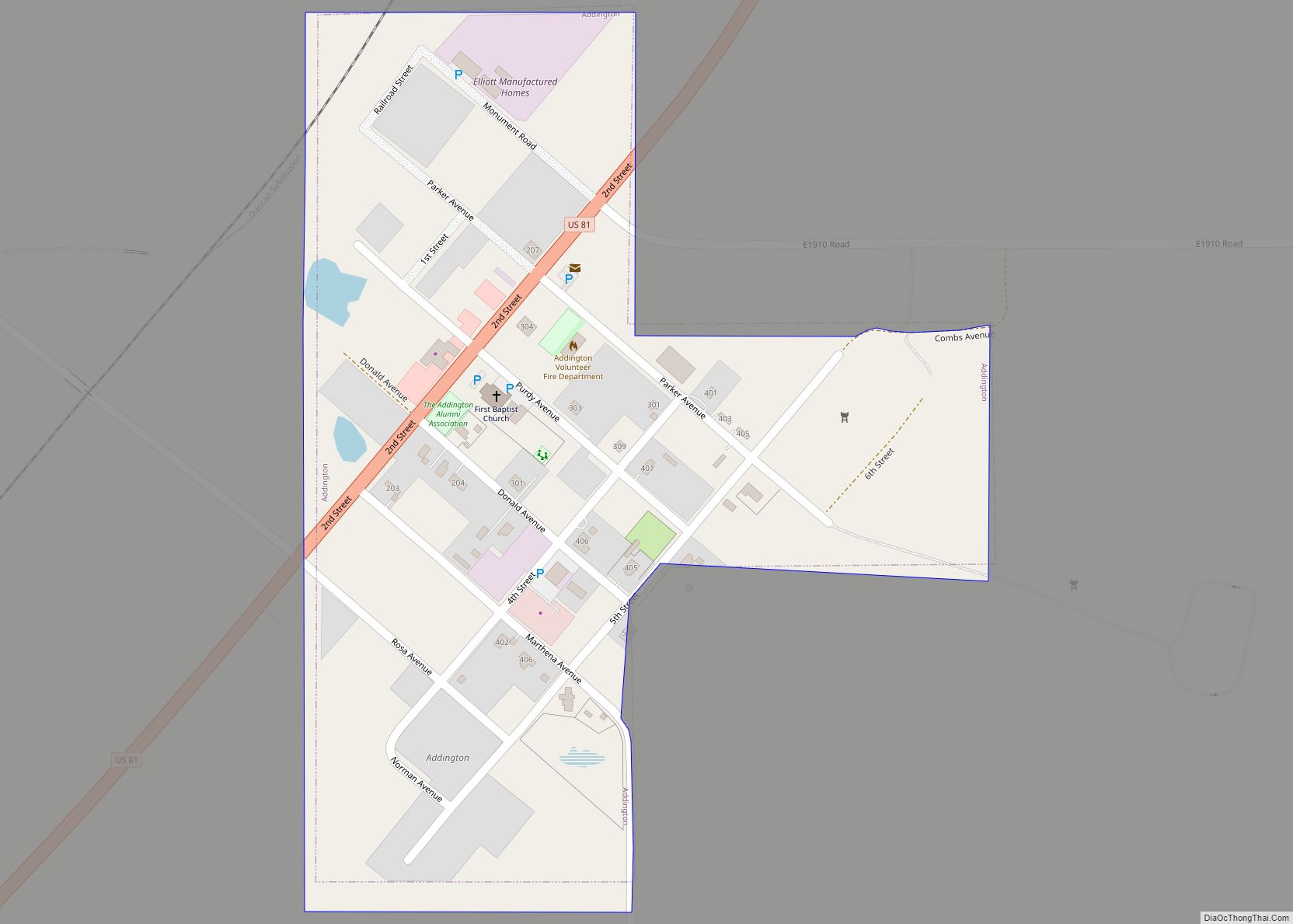
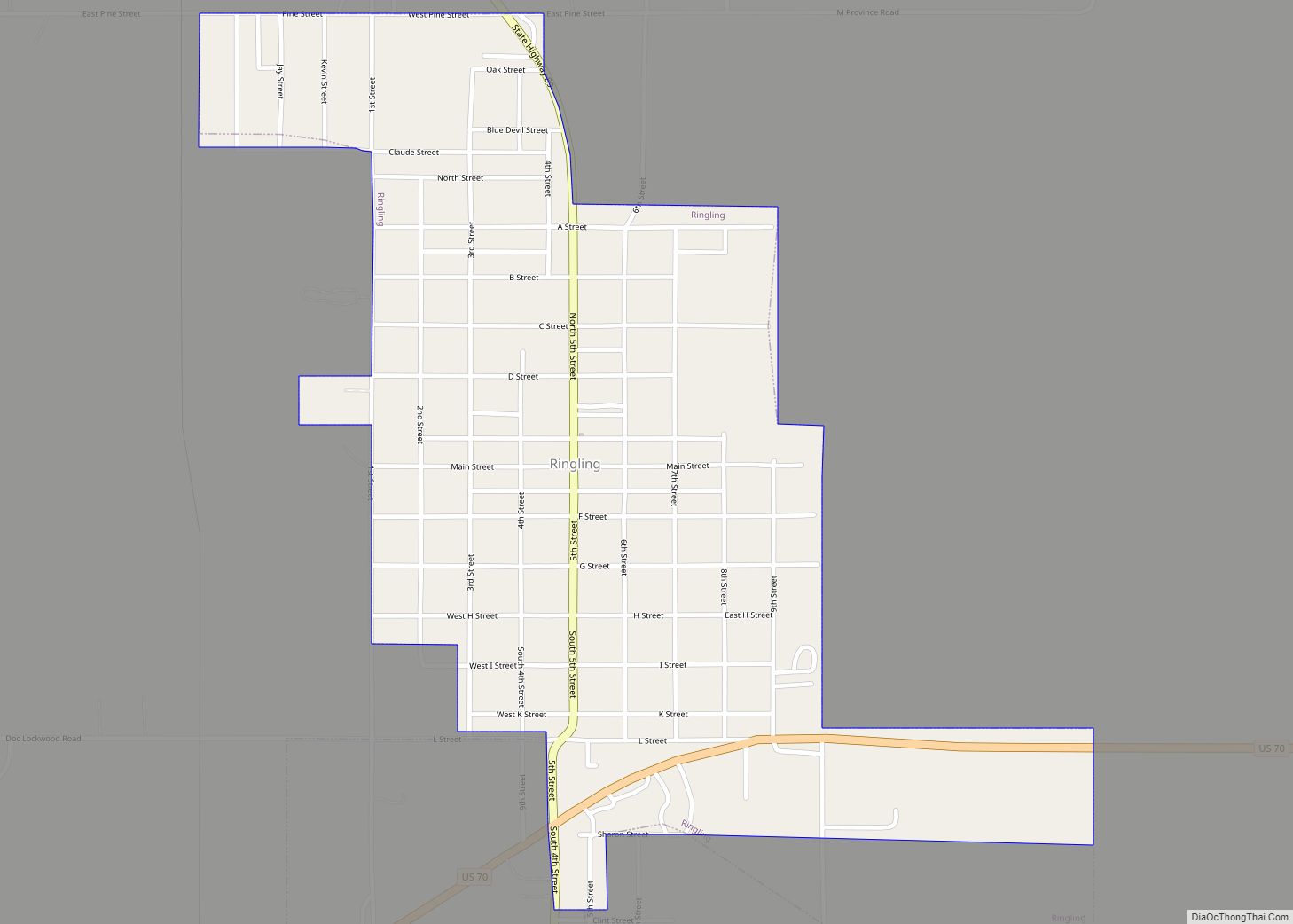
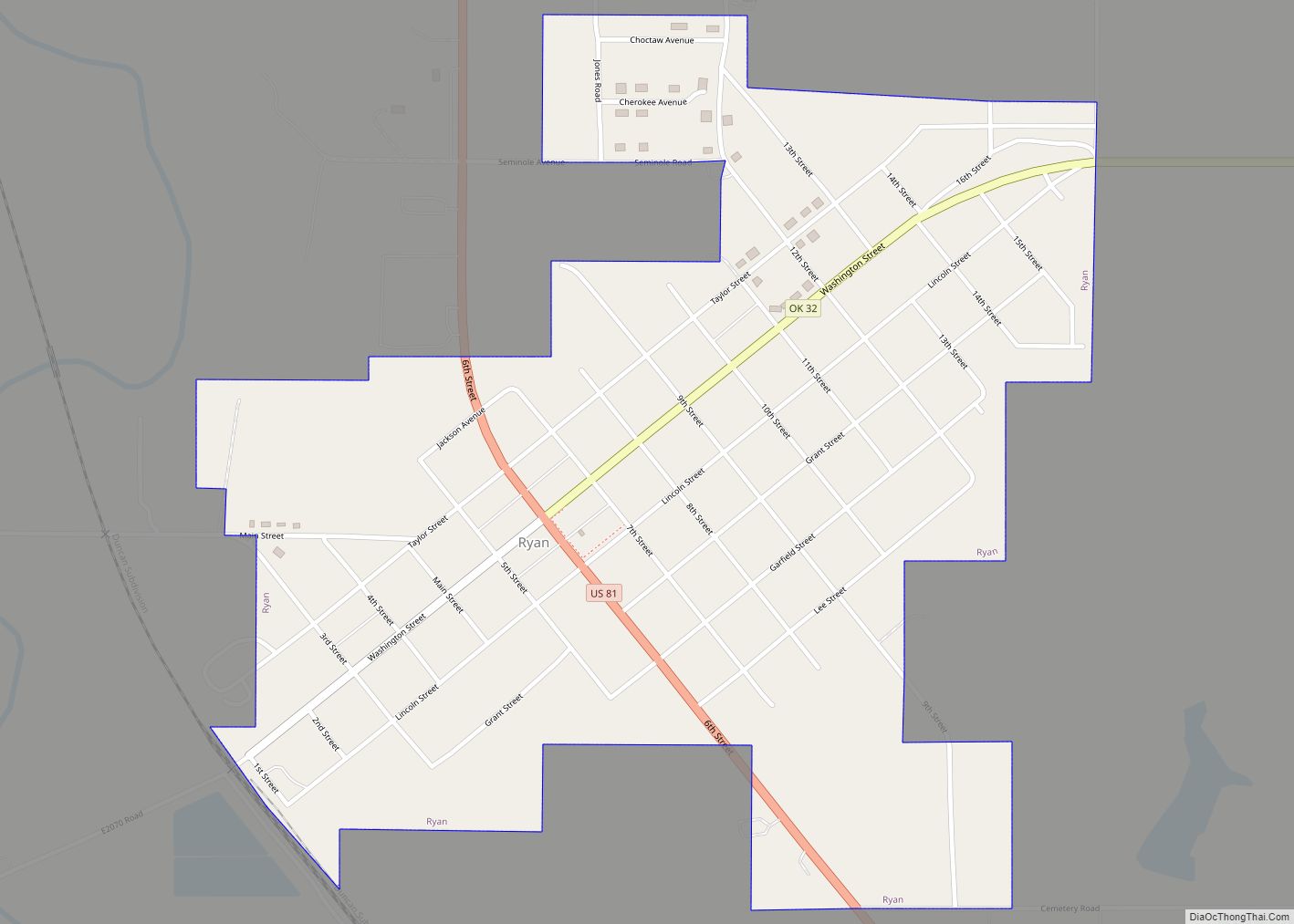
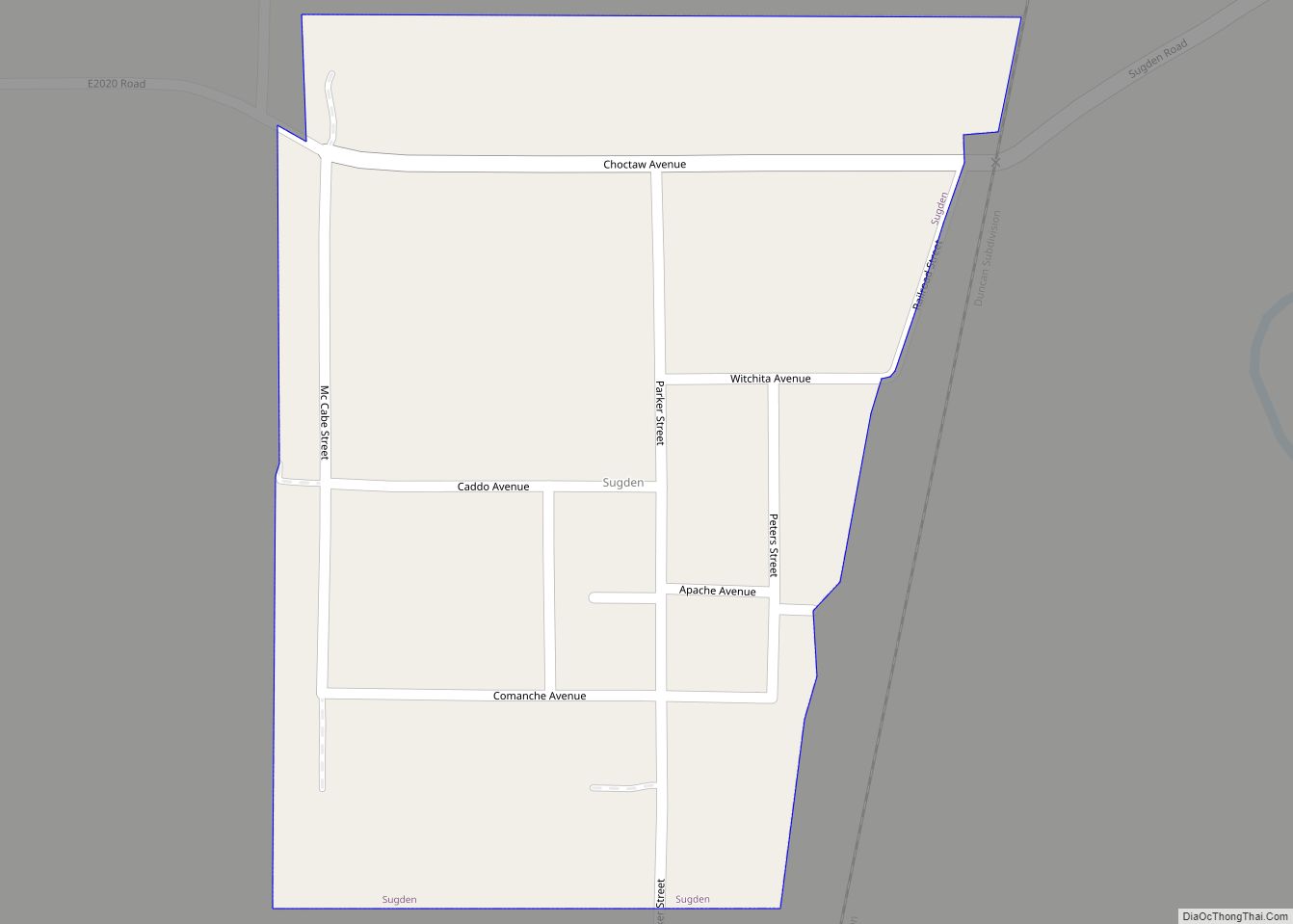
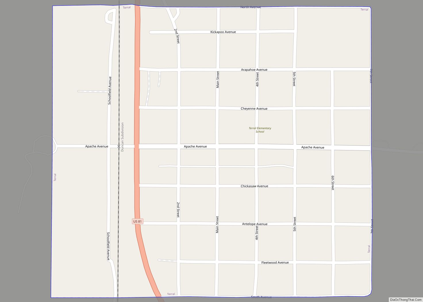
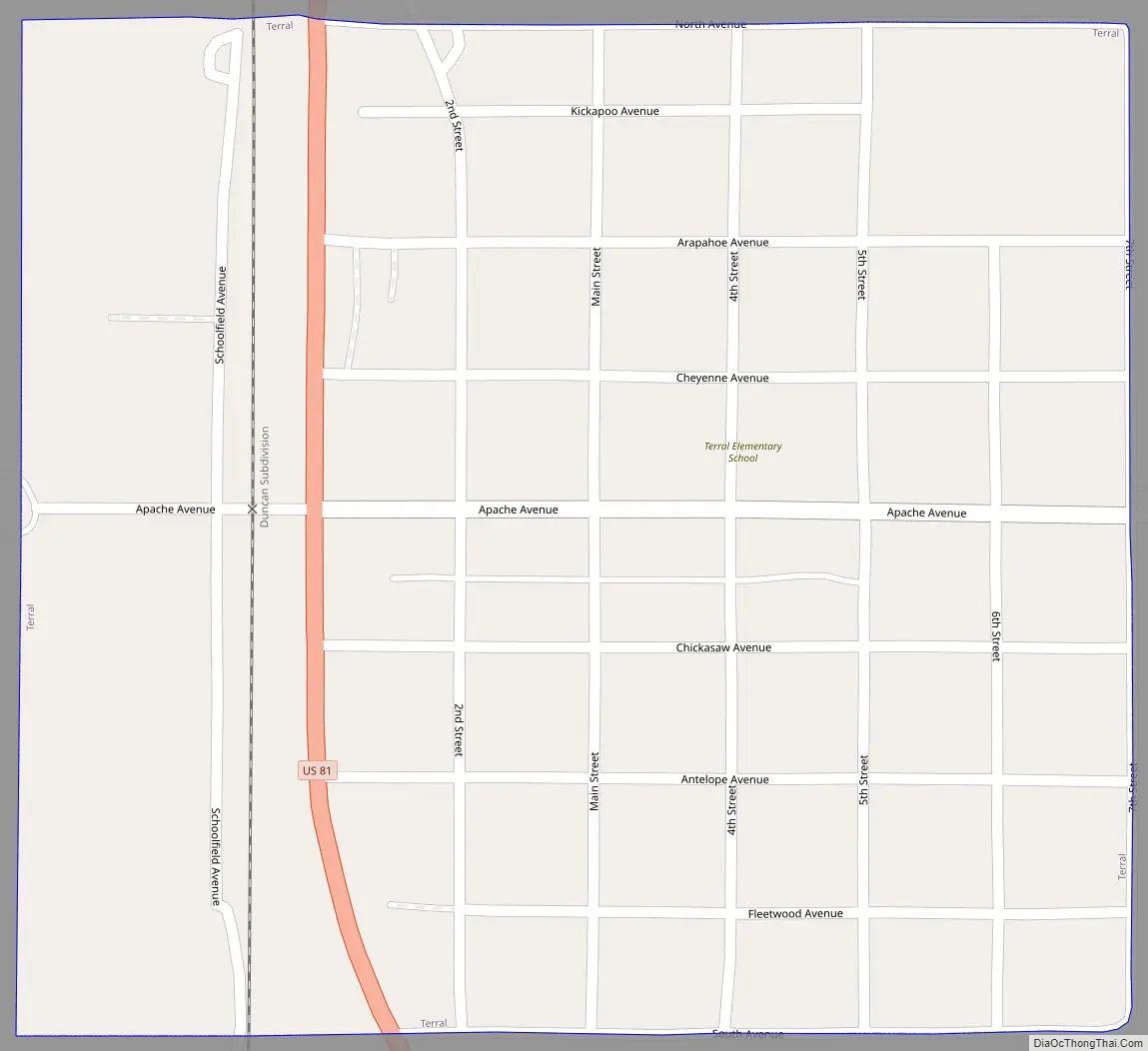
Online Interactive Map
Click on ![]() to view map in "full screen" mode.
to view map in "full screen" mode.
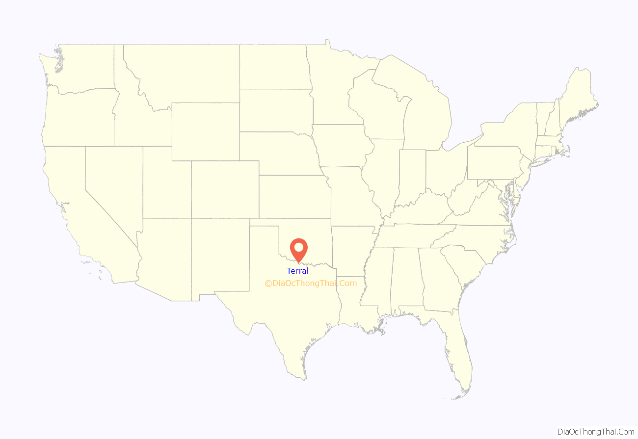
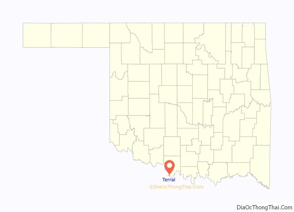
Terral location map. Where is Terral town?
History
Terral was founded in 1892 by John Heidelberg Dace Terral, a Texan who leased the land from a Chickasaw woman, Emily Colbert Fleetwood, He and Hugh Schoolfield platted the townsite and began selling lots in May 1892. A post office was established August 8, 1892, with Terral himself serving as the first postmaster.
The town has remained an agricultural community since its establishment. The most important crops are watermelons, cantaloupes and cotton. Cattle and hog raising are also important. Livestock are usually sold in Fort Worth, Texas, 90 miles (140 km) to the south of Terral. The town began celebrating an annual Terral Watermelon Jubilee in July 1965.
Terral Road Map
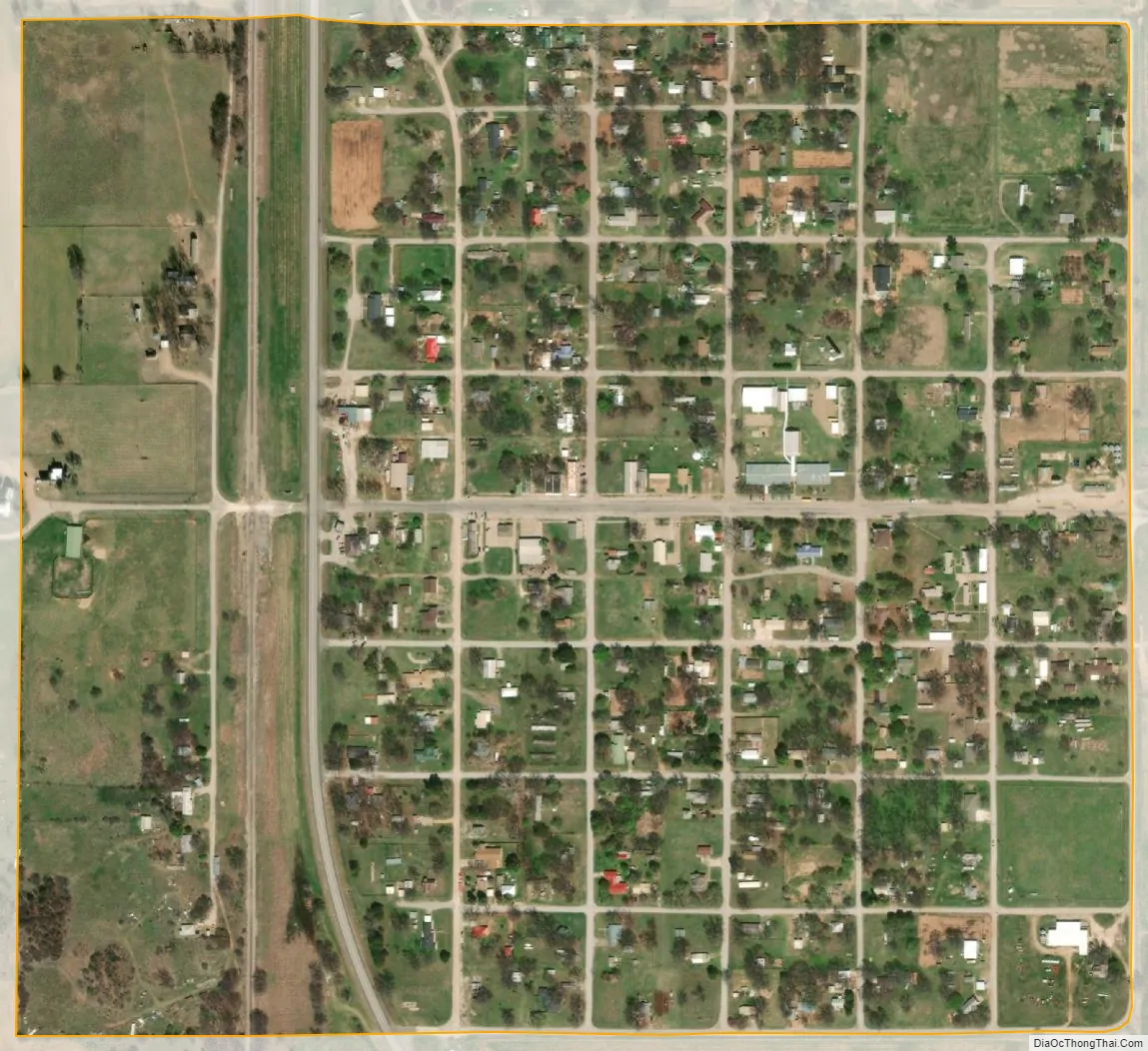
Terral city Satellite Map
Geography
Terral is located in southern Jefferson County at 33°53′46″N 97°56′15″W / 33.89611°N 97.93750°W / 33.89611; -97.93750 (33.896235, -97.937538), along U.S. Route 81. It is 20 miles (32 km) south of Waurika, the county seat, and 1 mile (1.6 km) north of the Red River, the Oklahoma–Texas border.
According to the United States Census Bureau, the town has a total area of 0.42 square miles (1.1 km), all land.
See also
Map of Oklahoma State and its subdivision:- Adair
- Alfalfa
- Atoka
- Beaver
- Beckham
- Blaine
- Bryan
- Caddo
- Canadian
- Carter
- Cherokee
- Choctaw
- Cimarron
- Cleveland
- Coal
- Comanche
- Cotton
- Craig
- Creek
- Custer
- Delaware
- Dewey
- Ellis
- Garfield
- Garvin
- Grady
- Grant
- Greer
- Harmon
- Harper
- Haskell
- Hughes
- Jackson
- Jefferson
- Johnston
- Kay
- Kingfisher
- Kiowa
- Latimer
- Le Flore
- Lincoln
- Logan
- Love
- Major
- Marshall
- Mayes
- McClain
- McCurtain
- McIntosh
- Murray
- Muskogee
- Noble
- Nowata
- Okfuskee
- Oklahoma
- Okmulgee
- Osage
- Ottawa
- Pawnee
- Payne
- Pittsburg
- Pontotoc
- Pottawatomie
- Pushmataha
- Roger Mills
- Rogers
- Seminole
- Sequoyah
- Stephens
- Texas
- Tillman
- Tulsa
- Wagoner
- Washington
- Washita
- Woods
- Woodward
- Alabama
- Alaska
- Arizona
- Arkansas
- California
- Colorado
- Connecticut
- Delaware
- District of Columbia
- Florida
- Georgia
- Hawaii
- Idaho
- Illinois
- Indiana
- Iowa
- Kansas
- Kentucky
- Louisiana
- Maine
- Maryland
- Massachusetts
- Michigan
- Minnesota
- Mississippi
- Missouri
- Montana
- Nebraska
- Nevada
- New Hampshire
- New Jersey
- New Mexico
- New York
- North Carolina
- North Dakota
- Ohio
- Oklahoma
- Oregon
- Pennsylvania
- Rhode Island
- South Carolina
- South Dakota
- Tennessee
- Texas
- Utah
- Vermont
- Virginia
- Washington
- West Virginia
- Wisconsin
- Wyoming