Texola is a town in Beckham County, Oklahoma, United States. The population was 36 at the 2010 census.
| Name: | Texola town |
|---|---|
| LSAD Code: | 43 |
| LSAD Description: | town (suffix) |
| State: | Oklahoma |
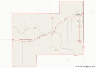
| County: | Beckham County |
| Elevation: | 2,146 ft (654 m) |
| Total Area: | 0.61 sq mi (1.59 km²) |
| Land Area: | 0.61 sq mi (1.59 km²) |
| Water Area: | 0.00 sq mi (0.00 km²) |
| Total Population: | 43 |
| Population Density: | 70.26/sq mi (27.11/km²) |
| ZIP code: | 73668 |
| Area code: | 580 |
| FIPS code: | 4073150 |
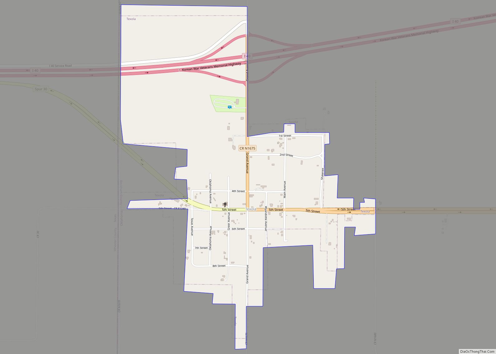
Online Interactive Map
Click on ![]() to view map in "full screen" mode.
to view map in "full screen" mode.
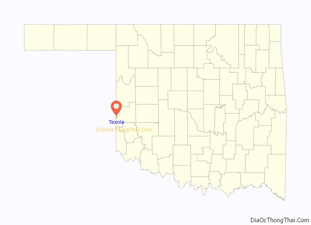
Texola location map. Where is Texola town?

History
The History of Texola dates back to the early 1900s. Before being named Texola, the town site had been called Texokla and Texoma. Because of its location near the 100th Meridian, the town was surveyed eight different times, which meant that some early residents lived in both Texas and Oklahoma without ever moving. Texola was originally part of northern Greer County until Beckham County was formed after Oklahoma gained statehood in 1907. A post office was established in the community on December 12, 1901, with Reuben H. Grimes serving as the first postmaster. In 1902, the Choctaw, Oklahoma and Gulf Railroad (later owned by the Chicago, Rock Island and Pacific Railway) was built through the town. A weekly newspaper, the Texola Herald, began publishing in 1902 and continued to operate into the early 1920s. By 1909, Texola had two cotton gins as well as a corn and grist mill. The local economy was agriculturally based and several businesses opened in the community.
The 1910 census recorded 361 people living in Texola. That same year, a small Territorial Jail was built. After a slight decline in population during the 1910s, Texola grew rapidly in the 1920s. The population peaked at 581 in the 1930 census. The arrival of Route 66 (also known as 5th Street) had a positive impact on the local economy. Cotton production increased during the decade, necessitating the need for two additional gins. As the town prospered, amenities such as a ten-acre park and an auditorium capable of seating 300 people were found in the community. The population began to decline in the 1940s and continued to do so throughout the remainder of the twentieth century. By 1980, Texola was a town of 106 residents. When the next census was conducted in 1990, Texola had lost nearly 58 percent of its population, leaving just 45 people in the town. That figure rose by two, to 47, in 2000. By 2010, the population had decreased to 36.
Historic places
The Magnolia Service Station in Texola is listed on the National Register of Historic Places listings in Beckham County, Oklahoma, being placed on the list in 1995. The station was built in 1930 by the Magnolia Petroleum Company on Route 66.
A quirky roadside attraction in Texola is the One Room Jail. It was constructed in the late 1800s out of cinderblock, and consists of a single room with an iron-barred door and window.
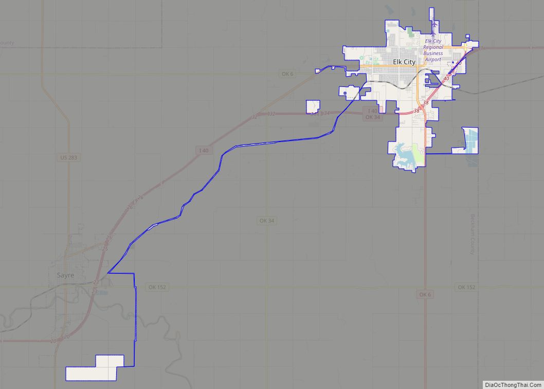
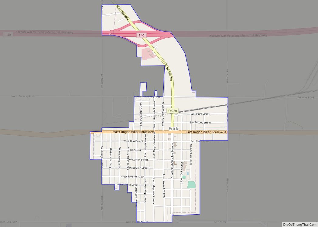
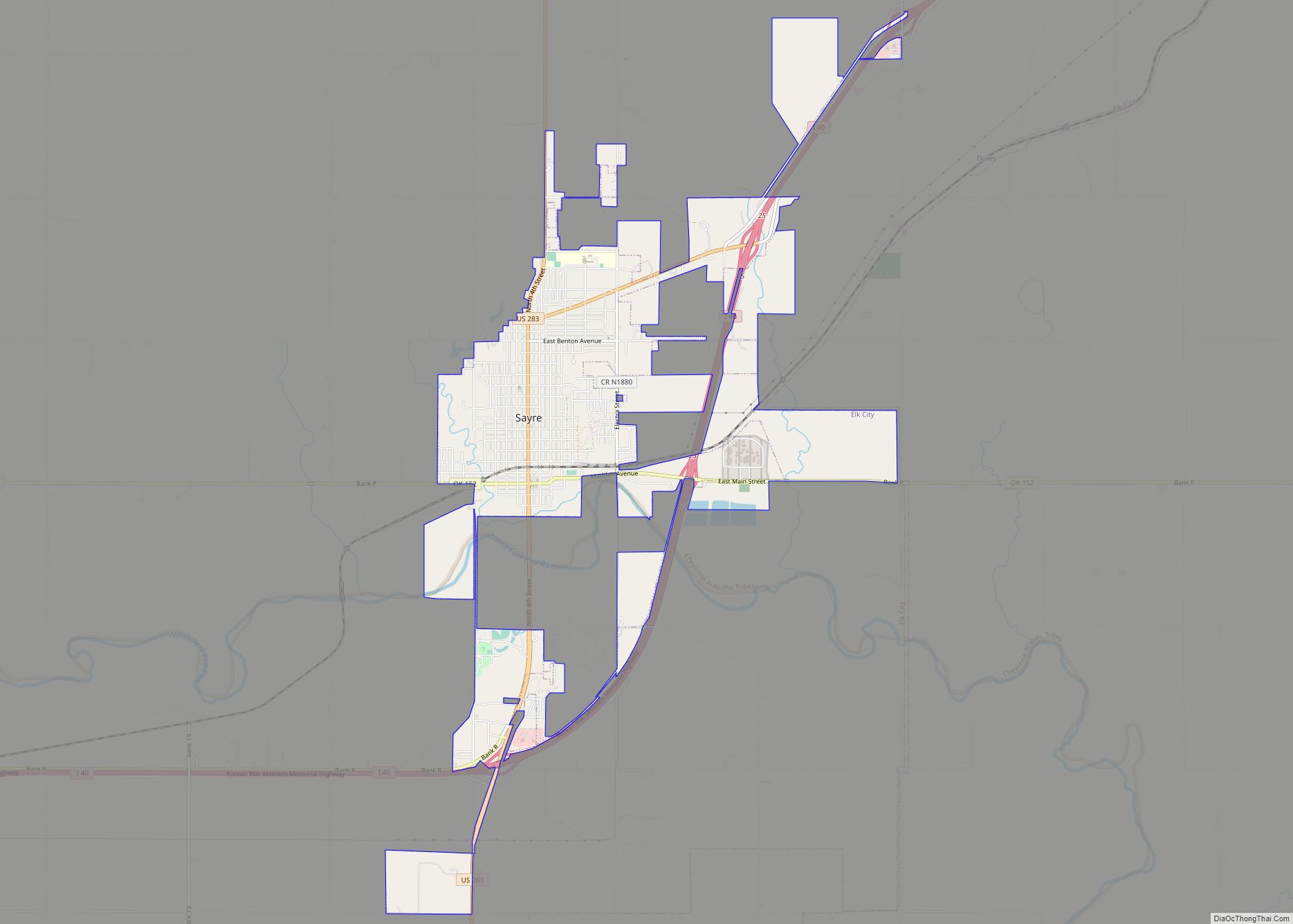
Texola Road Map
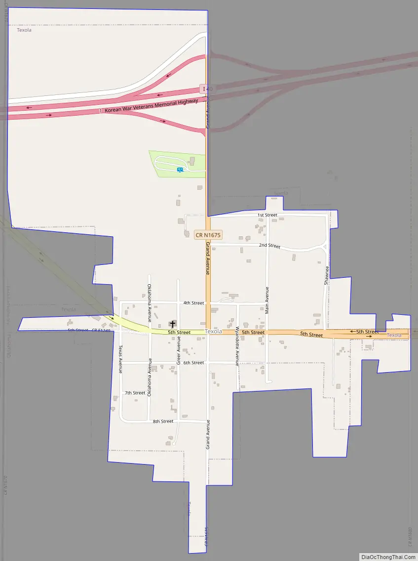
Texola city Satellite Map

Geography
According to the United States Census Bureau, the town has a total area of 0.6 square miles (1.6 km), all land.
Texola is not directly served by the Oklahoma state highway system. However, the town can be accessed from I-40 Exit 1. U.S. Route 66 passed through the town, bringing scores of travelers for decades, until I-40 was completed to the north in 1975.
See also
Map of Oklahoma State and its subdivision:- Adair
- Alfalfa
- Atoka
- Beaver
- Beckham
- Blaine
- Bryan
- Caddo
- Canadian
- Carter
- Cherokee
- Choctaw
- Cimarron
- Cleveland
- Coal
- Comanche
- Cotton
- Craig
- Creek
- Custer
- Delaware
- Dewey
- Ellis
- Garfield
- Garvin
- Grady
- Grant
- Greer
- Harmon
- Harper
- Haskell
- Hughes
- Jackson
- Jefferson
- Johnston
- Kay
- Kingfisher
- Kiowa
- Latimer
- Le Flore
- Lincoln
- Logan
- Love
- Major
- Marshall
- Mayes
- McClain
- McCurtain
- McIntosh
- Murray
- Muskogee
- Noble
- Nowata
- Okfuskee
- Oklahoma
- Okmulgee
- Osage
- Ottawa
- Pawnee
- Payne
- Pittsburg
- Pontotoc
- Pottawatomie
- Pushmataha
- Roger Mills
- Rogers
- Seminole
- Sequoyah
- Stephens
- Texas
- Tillman
- Tulsa
- Wagoner
- Washington
- Washita
- Woods
- Woodward
- Alabama
- Alaska
- Arizona
- Arkansas
- California
- Colorado
- Connecticut
- Delaware
- District of Columbia
- Florida
- Georgia
- Hawaii
- Idaho
- Illinois
- Indiana
- Iowa
- Kansas
- Kentucky
- Louisiana
- Maine
- Maryland
- Massachusetts
- Michigan
- Minnesota
- Mississippi
- Missouri
- Montana
- Nebraska
- Nevada
- New Hampshire
- New Jersey
- New Mexico
- New York
- North Carolina
- North Dakota
- Ohio
- Oklahoma
- Oregon
- Pennsylvania
- Rhode Island
- South Carolina
- South Dakota
- Tennessee
- Texas
- Utah
- Vermont
- Virginia
- Washington
- West Virginia
- Wisconsin
- Wyoming