Tiawah is a census-designated place (CDP) in Rogers County, Oklahoma, United States. The population was 189 at the 2010 census, a 13.9 percent gain over the figure of 166 recorded in 2000. It was built on the St. Louis, Iron Mountain, & Southern Railway line running from Coffeyville, Kansas, to Fort Smith, Arkansas. The post office existed from August 24, 1903, until December 31, 1938. It is said to be named for Tiawah Mound in Georgia.
| Name: | Tiawah CDP |
|---|---|
| LSAD Code: | 57 |
| LSAD Description: | CDP (suffix) |
| State: | Oklahoma |
| County: | Rogers County |
| Elevation: | 617 ft (188 m) |
| Total Area: | 4.11 sq mi (10.64 km²) |
| Land Area: | 4.11 sq mi (10.64 km²) |
| Water Area: | 0.00 sq mi (0.00 km²) |
| Total Population: | 235 |
| Population Density: | 57.22/sq mi (22.09/km²) |
| FIPS code: | 4073600 |
| GNISfeature ID: | 1100886 |
Online Interactive Map
Click on ![]() to view map in "full screen" mode.
to view map in "full screen" mode.
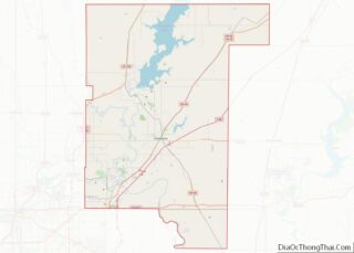
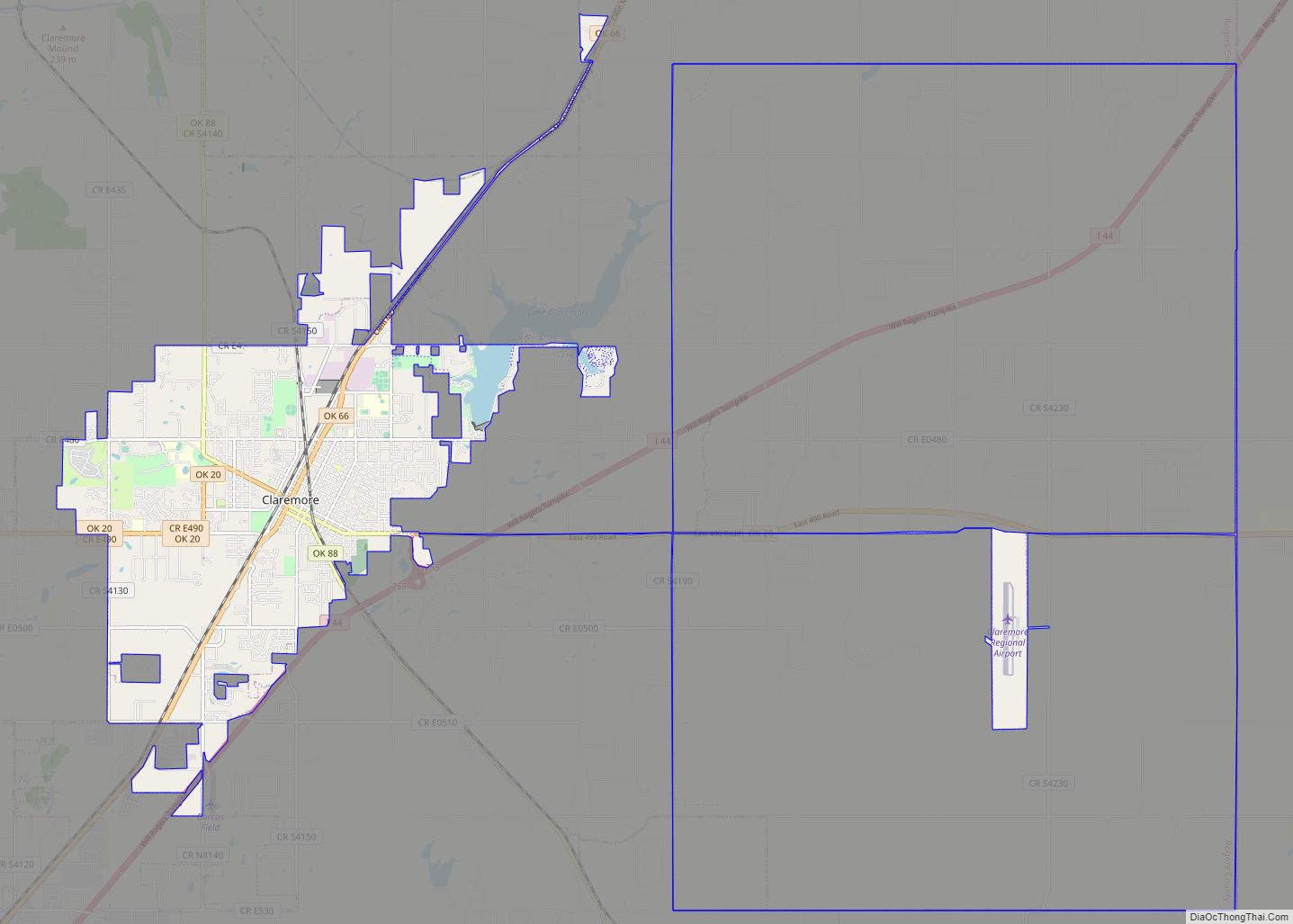
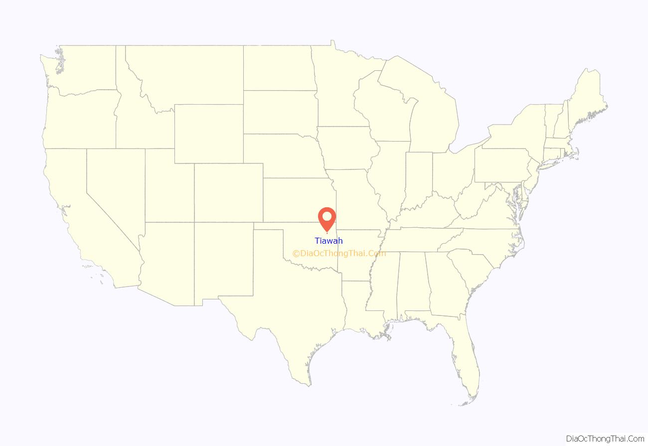
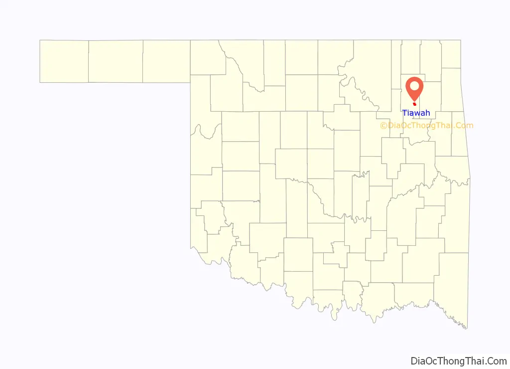
Tiawah location map. Where is Tiawah CDP?
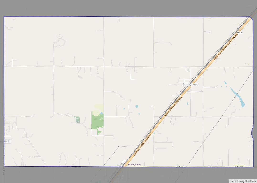
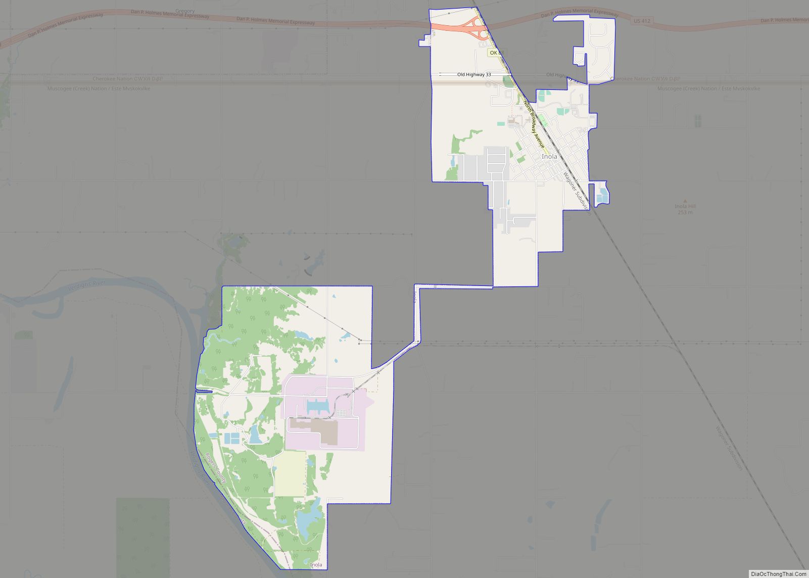
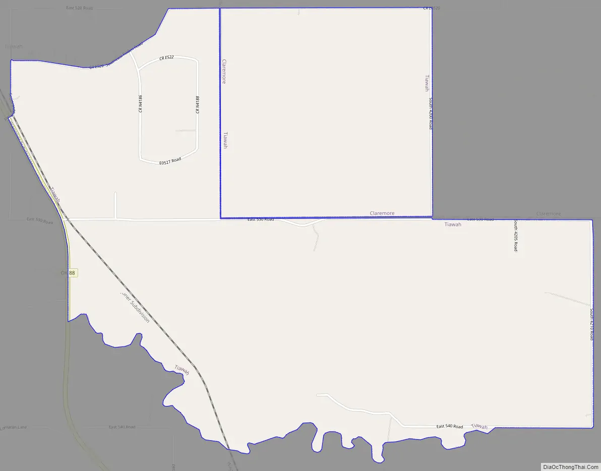
Tiawah Road Map
Tiawah city Satellite Map
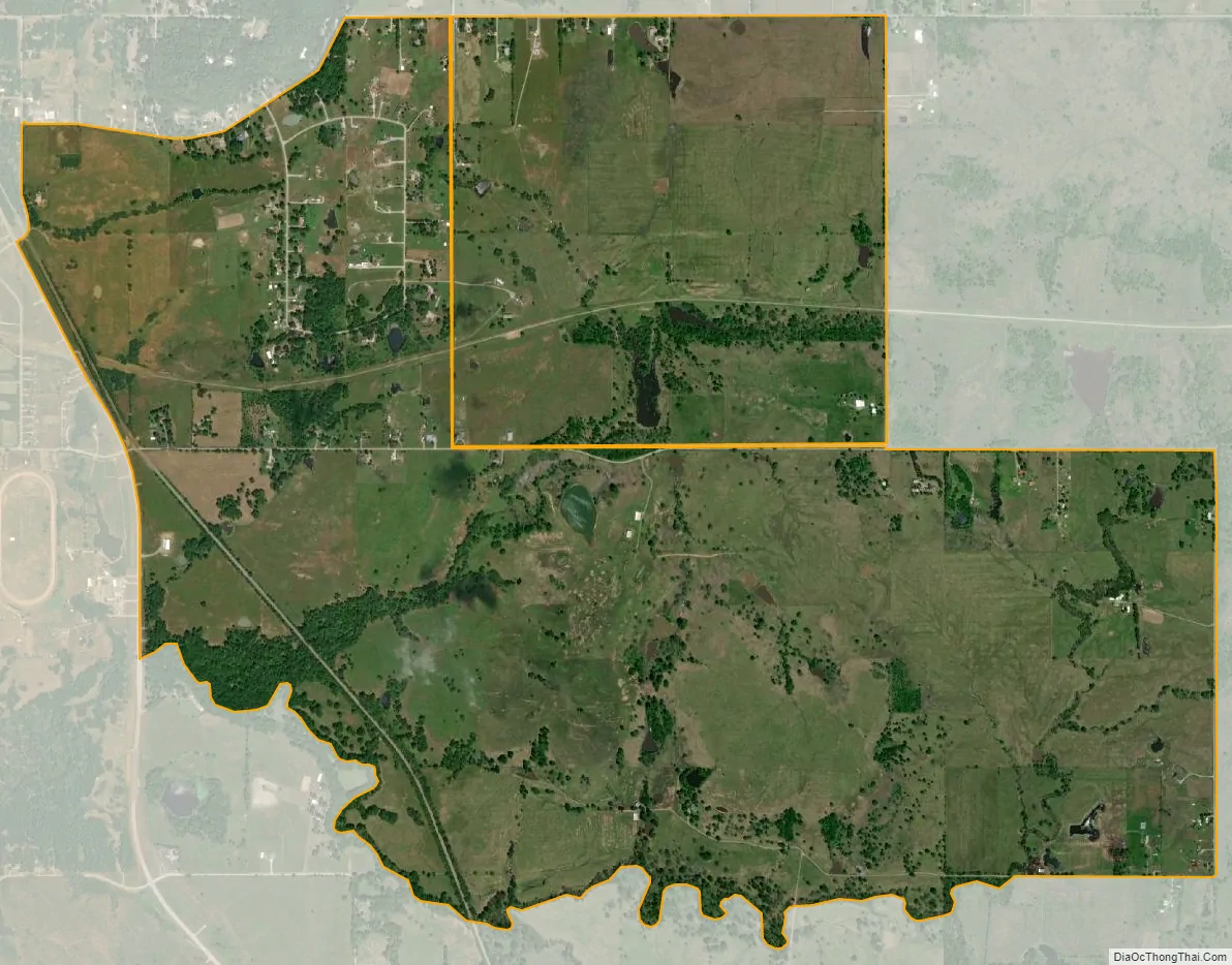
Geography
Tiawah is located at 36°15′25″N 95°32′51″W / 36.25694°N 95.54750°W / 36.25694; -95.54750 (36.256876, -95.547602).
According to the United States Census Bureau, the CDP has a total area of 4.1 square miles (10.6 km), all land.
See also
Map of Oklahoma State and its subdivision:- Adair
- Alfalfa
- Atoka
- Beaver
- Beckham
- Blaine
- Bryan
- Caddo
- Canadian
- Carter
- Cherokee
- Choctaw
- Cimarron
- Cleveland
- Coal
- Comanche
- Cotton
- Craig
- Creek
- Custer
- Delaware
- Dewey
- Ellis
- Garfield
- Garvin
- Grady
- Grant
- Greer
- Harmon
- Harper
- Haskell
- Hughes
- Jackson
- Jefferson
- Johnston
- Kay
- Kingfisher
- Kiowa
- Latimer
- Le Flore
- Lincoln
- Logan
- Love
- Major
- Marshall
- Mayes
- McClain
- McCurtain
- McIntosh
- Murray
- Muskogee
- Noble
- Nowata
- Okfuskee
- Oklahoma
- Okmulgee
- Osage
- Ottawa
- Pawnee
- Payne
- Pittsburg
- Pontotoc
- Pottawatomie
- Pushmataha
- Roger Mills
- Rogers
- Seminole
- Sequoyah
- Stephens
- Texas
- Tillman
- Tulsa
- Wagoner
- Washington
- Washita
- Woods
- Woodward
- Alabama
- Alaska
- Arizona
- Arkansas
- California
- Colorado
- Connecticut
- Delaware
- District of Columbia
- Florida
- Georgia
- Hawaii
- Idaho
- Illinois
- Indiana
- Iowa
- Kansas
- Kentucky
- Louisiana
- Maine
- Maryland
- Massachusetts
- Michigan
- Minnesota
- Mississippi
- Missouri
- Montana
- Nebraska
- Nevada
- New Hampshire
- New Jersey
- New Mexico
- New York
- North Carolina
- North Dakota
- Ohio
- Oklahoma
- Oregon
- Pennsylvania
- Rhode Island
- South Carolina
- South Dakota
- Tennessee
- Texas
- Utah
- Vermont
- Virginia
- Washington
- West Virginia
- Wisconsin
- Wyoming