Turley is a census-designated place (CDP) in Tulsa County, Oklahoma, United States. The population was 2,756 at the 2010 census, a loss of 14.7 percent from the figure of 3,231 recorded in 2000.
| Name: | Turley CDP |
|---|---|
| LSAD Code: | 57 |
| LSAD Description: | CDP (suffix) |
| State: | Oklahoma |
| County: | Tulsa County |
| Elevation: | 636 ft (194 m) |
| Total Area: | 3.63 sq mi (9.40 km²) |
| Land Area: | 3.63 sq mi (9.39 km²) |
| Water Area: | 0.00 sq mi (0.01 km²) |
| Total Population: | 2,607 |
| Population Density: | 718.97/sq mi (277.62/km²) |
| ZIP code: | 74126 |
| Area code: | 539/918 |
| FIPS code: | 4075150 |
| GNISfeature ID: | 1099063 |
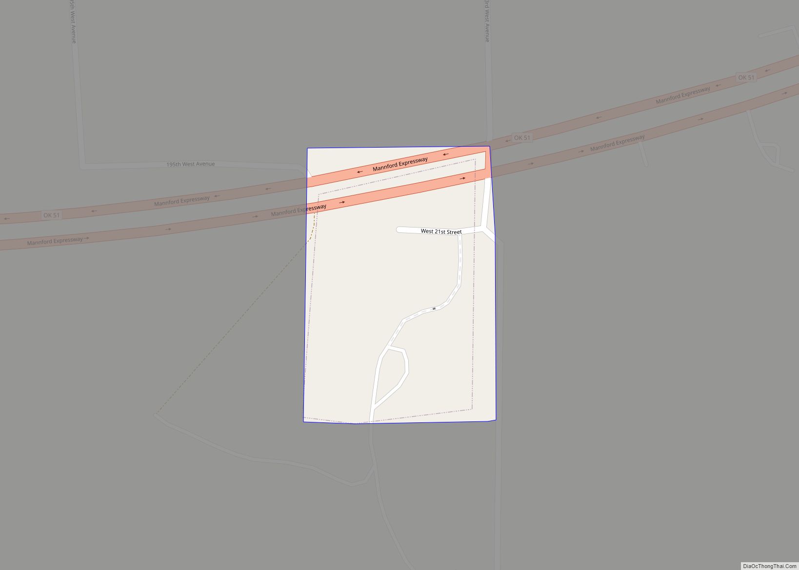
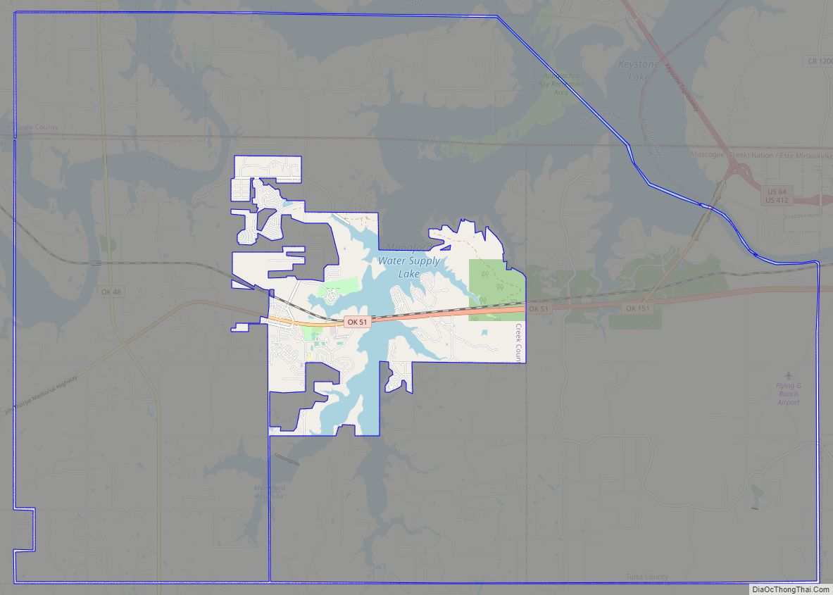
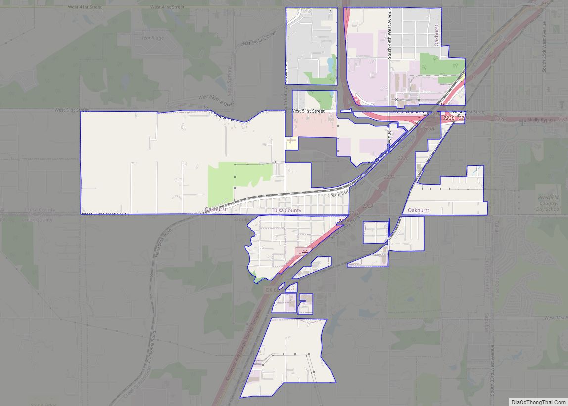
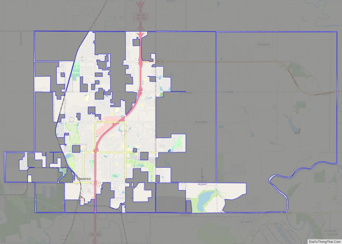
Online Interactive Map
Click on ![]() to view map in "full screen" mode.
to view map in "full screen" mode.
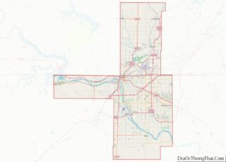
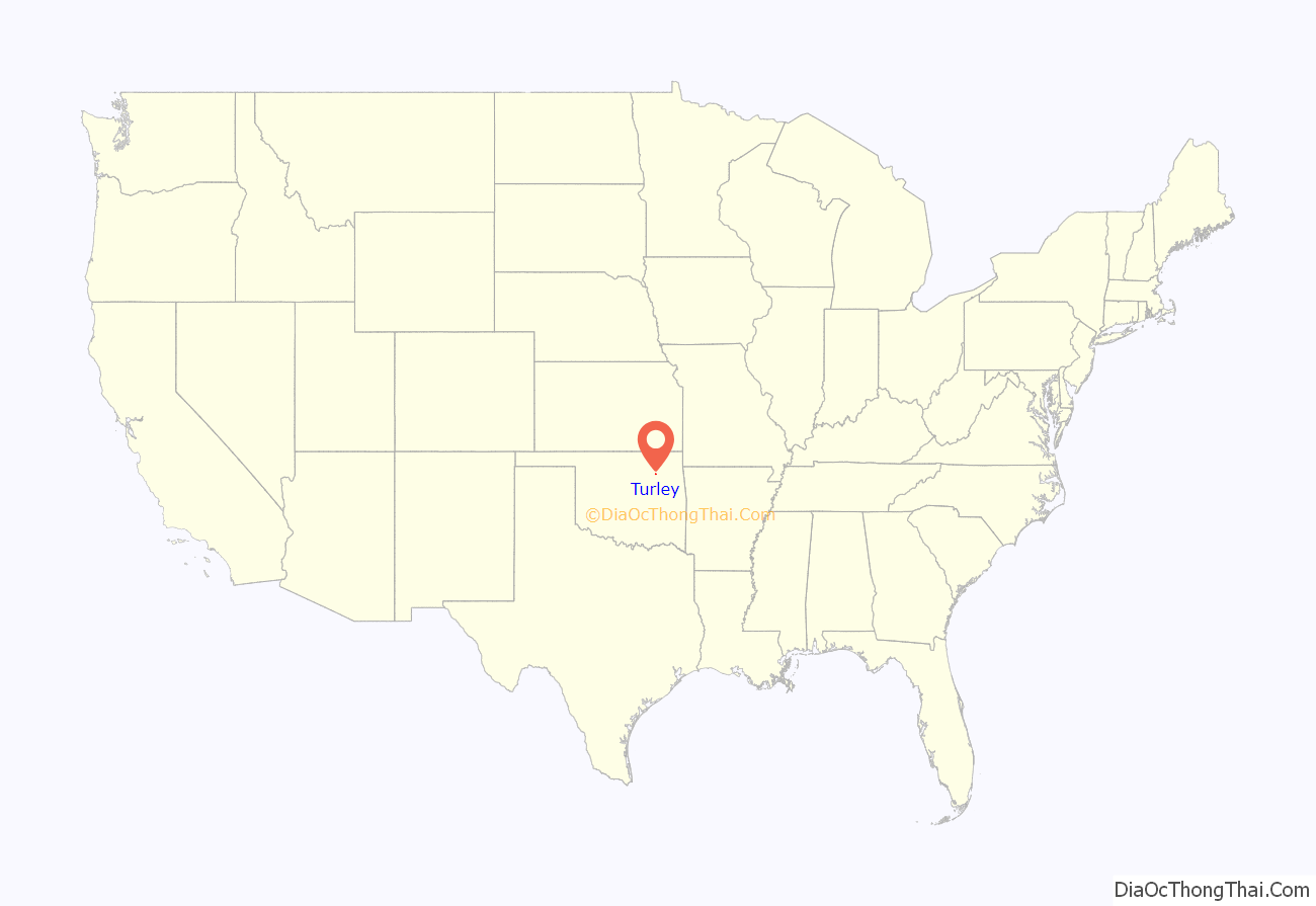
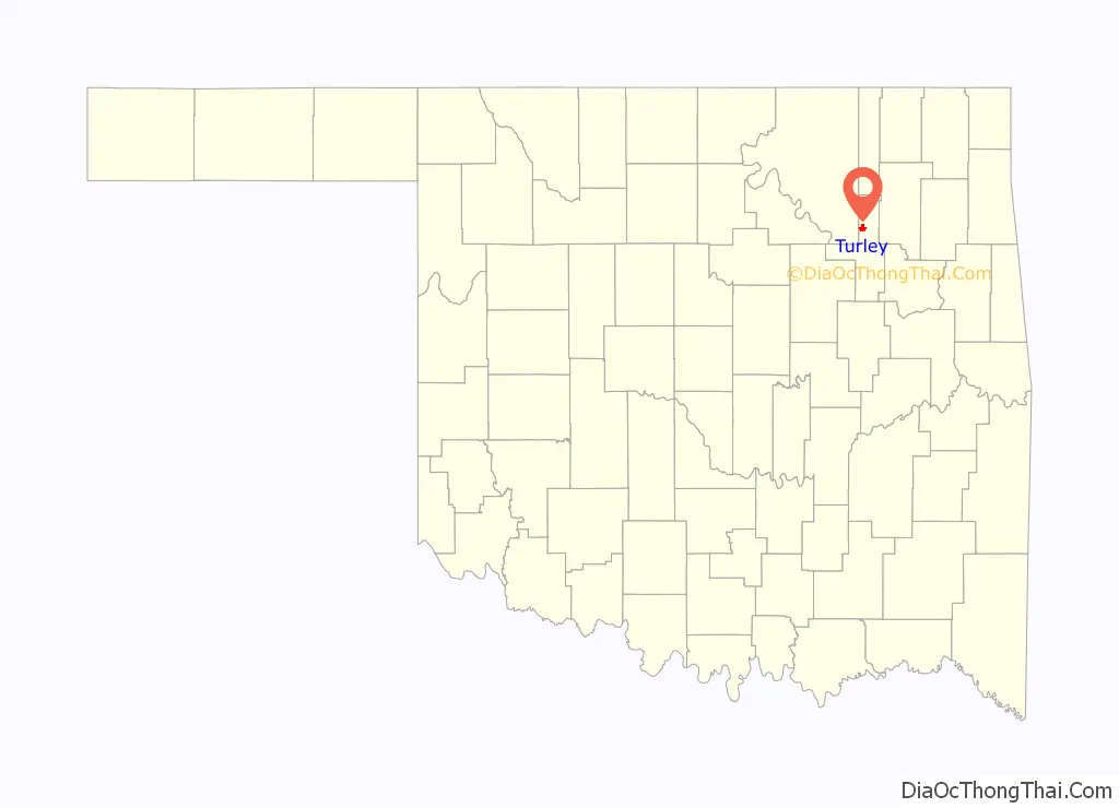
Turley location map. Where is Turley CDP?
History
Turley was historically known as Flat Rock. The community was established around 1897, and the first school was established there in 1902. The post office was located in Jim Turley’s and S.L. Daun’s store. The store and the blacksmith shop comprised the first town of Turley, which was located northeast of 66th Street North and Peoria Avenue.
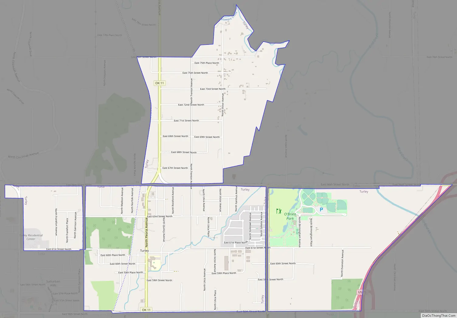
Turley Road Map
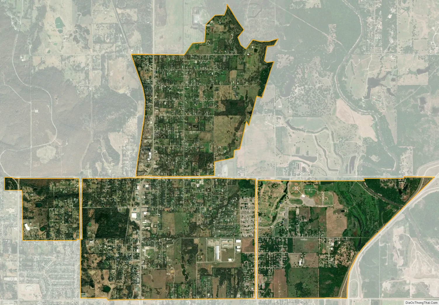
Turley city Satellite Map
Geography
Turley is located at 36°14′51″N 95°58′13″W / 36.24750°N 95.97028°W / 36.24750; -95.97028 (36.247627, -95.970378).
According to the United States Census Bureau, the CDP has a total area of 3.7 square miles (9.6 km), all land.
See also
Map of Oklahoma State and its subdivision:- Adair
- Alfalfa
- Atoka
- Beaver
- Beckham
- Blaine
- Bryan
- Caddo
- Canadian
- Carter
- Cherokee
- Choctaw
- Cimarron
- Cleveland
- Coal
- Comanche
- Cotton
- Craig
- Creek
- Custer
- Delaware
- Dewey
- Ellis
- Garfield
- Garvin
- Grady
- Grant
- Greer
- Harmon
- Harper
- Haskell
- Hughes
- Jackson
- Jefferson
- Johnston
- Kay
- Kingfisher
- Kiowa
- Latimer
- Le Flore
- Lincoln
- Logan
- Love
- Major
- Marshall
- Mayes
- McClain
- McCurtain
- McIntosh
- Murray
- Muskogee
- Noble
- Nowata
- Okfuskee
- Oklahoma
- Okmulgee
- Osage
- Ottawa
- Pawnee
- Payne
- Pittsburg
- Pontotoc
- Pottawatomie
- Pushmataha
- Roger Mills
- Rogers
- Seminole
- Sequoyah
- Stephens
- Texas
- Tillman
- Tulsa
- Wagoner
- Washington
- Washita
- Woods
- Woodward
- Alabama
- Alaska
- Arizona
- Arkansas
- California
- Colorado
- Connecticut
- Delaware
- District of Columbia
- Florida
- Georgia
- Hawaii
- Idaho
- Illinois
- Indiana
- Iowa
- Kansas
- Kentucky
- Louisiana
- Maine
- Maryland
- Massachusetts
- Michigan
- Minnesota
- Mississippi
- Missouri
- Montana
- Nebraska
- Nevada
- New Hampshire
- New Jersey
- New Mexico
- New York
- North Carolina
- North Dakota
- Ohio
- Oklahoma
- Oregon
- Pennsylvania
- Rhode Island
- South Carolina
- South Dakota
- Tennessee
- Texas
- Utah
- Vermont
- Virginia
- Washington
- West Virginia
- Wisconsin
- Wyoming