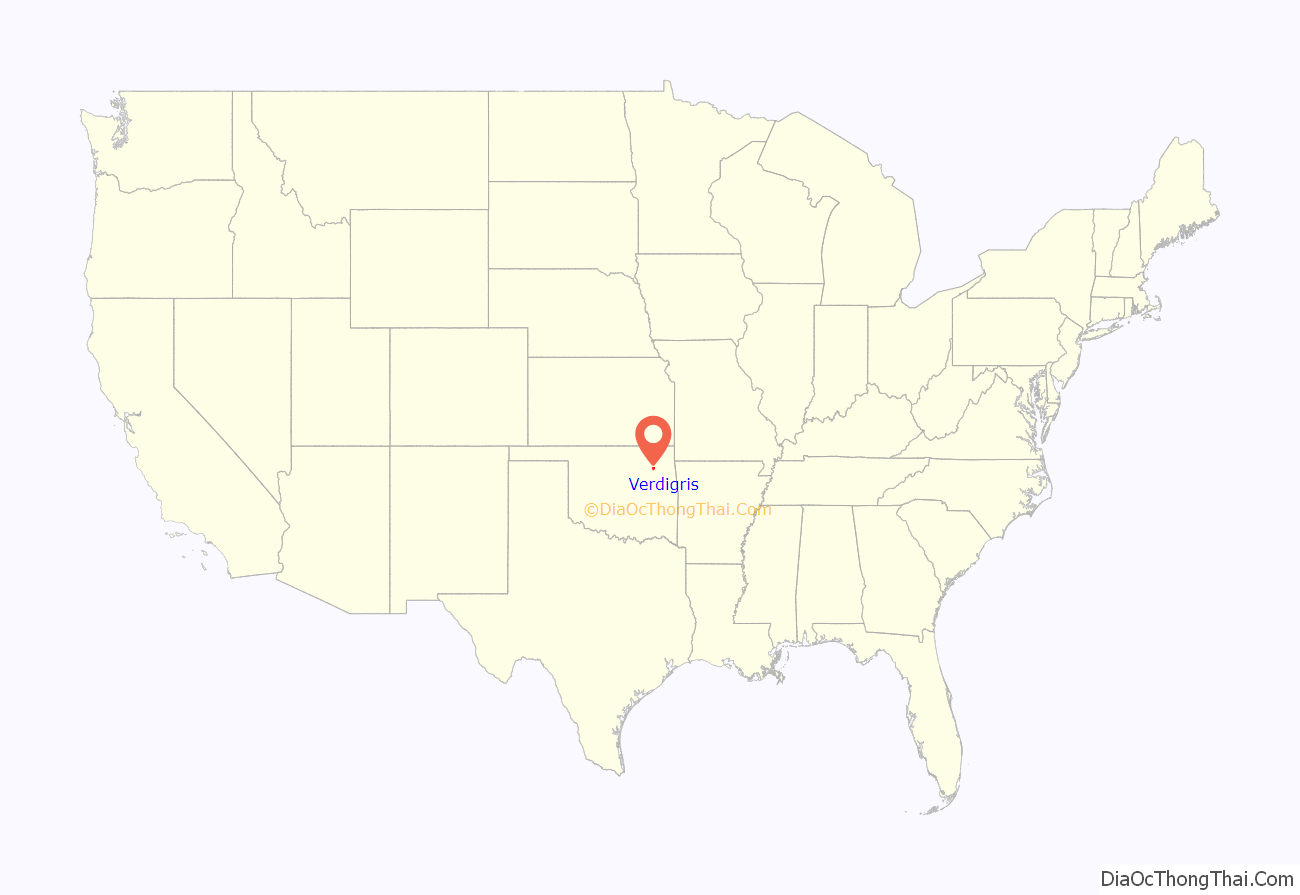
Verdigris is an incorporated town in Rogers County, Oklahoma, United States, in the Tulsa metropolitan area. It straddles former U.S. Highway 66 (now State Highway 66) between Catoosa and Claremore. Verdigris had a population of 3,993 at the 2010 census, an increase of 92.9 percent from 2,070 at the 2000 census.
| Name: | Verdigris town |
|---|---|
| LSAD Code: | 43 |
| LSAD Description: | town (suffix) |
| State: | Oklahoma |
| County: | Rogers County |
| Elevation: | 600 ft (200 m) |
| Total Area: | 5.65 sq mi (14.62 km²) |
| Land Area: | 5.65 sq mi (14.62 km²) |
| Water Area: | 0.00 sq mi (0.00 km²) |
| Total Population: | 5,256 |
| Population Density: | 930.76/sq mi (359.39/km²) |
| ZIP code: | 74019 |
| Area code: | 539/918 |
| FIPS code: | 4077050 |
| GNISfeature ID: | 2413429 |
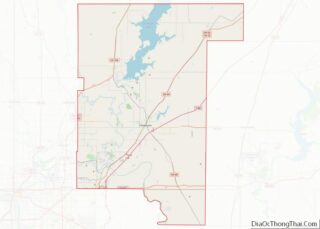
Online Interactive Map
Click on ![]() to view map in "full screen" mode.
to view map in "full screen" mode.
Verdigris location map. Where is Verdigris town?
History
Verdigris is named after the nearby Verdigris River, so named by French traders who settled in the area around the late 1700s. Several Native American tribes, including the Osage, Delaware and Cherokee, had populations along the Verdigris River. The rural community known as Verdigris has been in existence since before Oklahoma statehood in 1907. The St. Louis-San Francisco Railway (Frisco) referred to the area as the “Verdigris Switch” in the late 1880s. Verdigris schools were founded in the early 1900s. America’s Mother road, U.S. 66, was routed through Verdigris in the late 1920s.
Verdigris is the fastest growing municipality in Rogers County. The growth rate between 2000 and 2010 was 119%. The population at the 2010 census was 3,993.
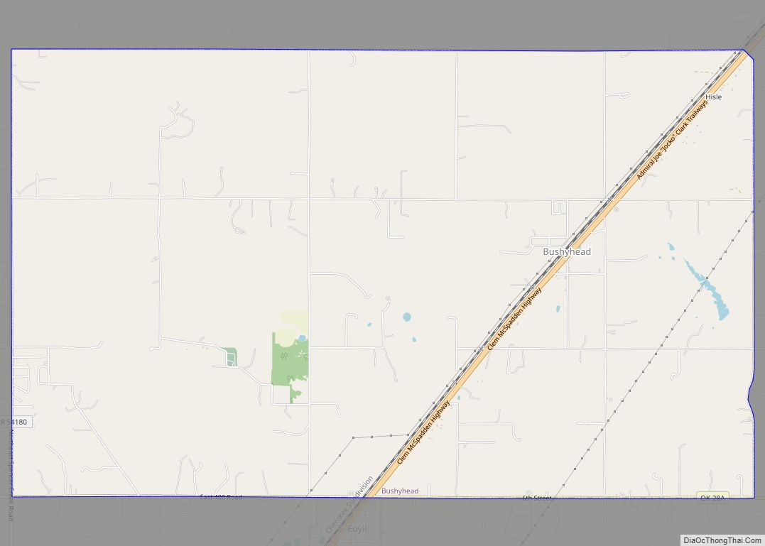
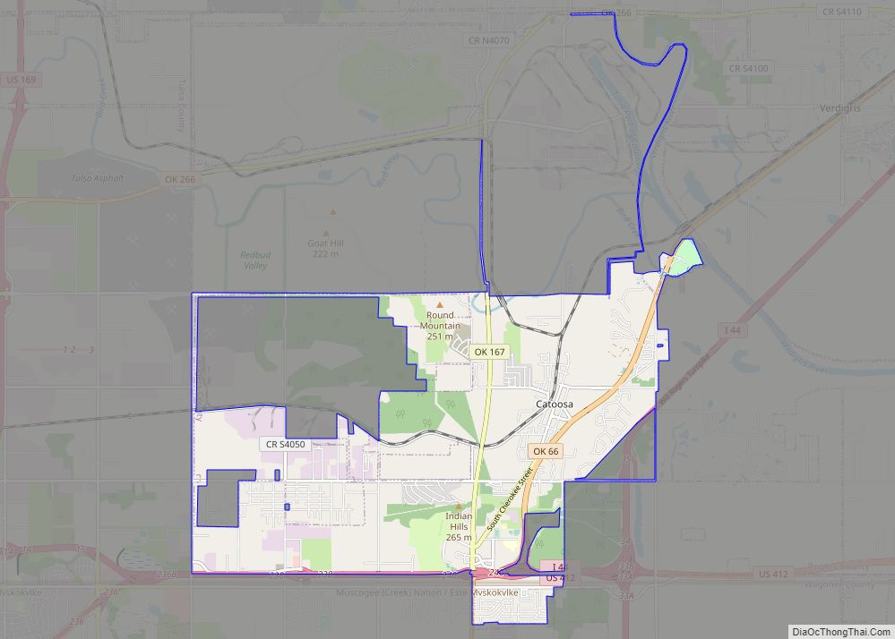
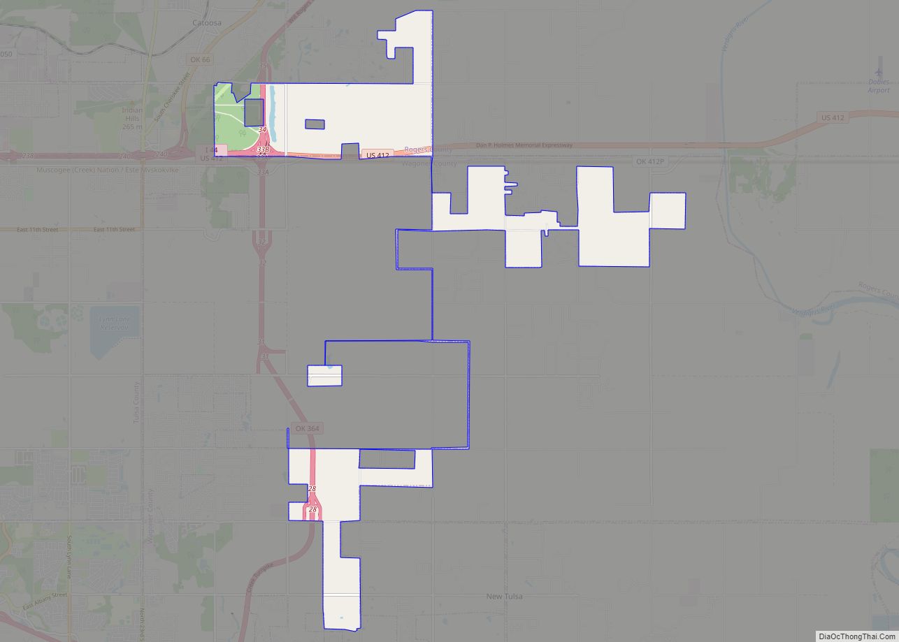
Verdigris Road Map
Verdigris city Satellite Map
See also
Map of Oklahoma State and its subdivision:- Adair
- Alfalfa
- Atoka
- Beaver
- Beckham
- Blaine
- Bryan
- Caddo
- Canadian
- Carter
- Cherokee
- Choctaw
- Cimarron
- Cleveland
- Coal
- Comanche
- Cotton
- Craig
- Creek
- Custer
- Delaware
- Dewey
- Ellis
- Garfield
- Garvin
- Grady
- Grant
- Greer
- Harmon
- Harper
- Haskell
- Hughes
- Jackson
- Jefferson
- Johnston
- Kay
- Kingfisher
- Kiowa
- Latimer
- Le Flore
- Lincoln
- Logan
- Love
- Major
- Marshall
- Mayes
- McClain
- McCurtain
- McIntosh
- Murray
- Muskogee
- Noble
- Nowata
- Okfuskee
- Oklahoma
- Okmulgee
- Osage
- Ottawa
- Pawnee
- Payne
- Pittsburg
- Pontotoc
- Pottawatomie
- Pushmataha
- Roger Mills
- Rogers
- Seminole
- Sequoyah
- Stephens
- Texas
- Tillman
- Tulsa
- Wagoner
- Washington
- Washita
- Woods
- Woodward
- Alabama
- Alaska
- Arizona
- Arkansas
- California
- Colorado
- Connecticut
- Delaware
- District of Columbia
- Florida
- Georgia
- Hawaii
- Idaho
- Illinois
- Indiana
- Iowa
- Kansas
- Kentucky
- Louisiana
- Maine
- Maryland
- Massachusetts
- Michigan
- Minnesota
- Mississippi
- Missouri
- Montana
- Nebraska
- Nevada
- New Hampshire
- New Jersey
- New Mexico
- New York
- North Carolina
- North Dakota
- Ohio
- Oklahoma
- Oregon
- Pennsylvania
- Rhode Island
- South Carolina
- South Dakota
- Tennessee
- Texas
- Utah
- Vermont
- Virginia
- Washington
- West Virginia
- Wisconsin
- Wyoming
