Vian (Cherokee: ᏓᏄᎪᎢ, romanized: da-hnu-go-i, lit. ‘gar-place’) is a town in Sequoyah County, Oklahoma, United States, adjacent to Interstate 40 at the intersection of U.S. Route 64 and Oklahoma State Highway 82. The population was 1,374 at the 2020 census, a 6.3 percent decline from the figure of 1,466 recorded in 2010. It is part of the Fort Smith Metropolitan Statistical Area.
| Name: | Vian town |
|---|---|
| LSAD Code: | 43 |
| LSAD Description: | town (suffix) |
| State: | Oklahoma |
| County: | Sequoyah County |
| Elevation: | 541 ft (165 m) |
| Total Area: | 1.38 sq mi (3.58 km²) |
| Land Area: | 1.34 sq mi (3.47 km²) |
| Water Area: | 0.04 sq mi (0.11 km²) |
| Total Population: | 1,374 |
| Population Density: | 1,026.91/sq mi (396.37/km²) |
| ZIP code: | 74962 |
| Area code: | 539/918 |
| FIPS code: | 4077250 |
| GNISfeature ID: | 1099250 |
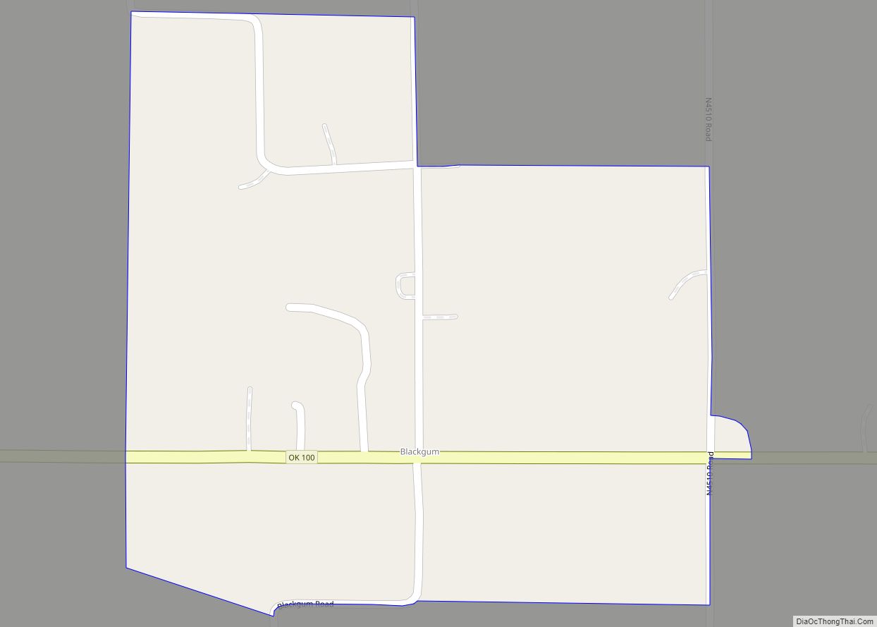
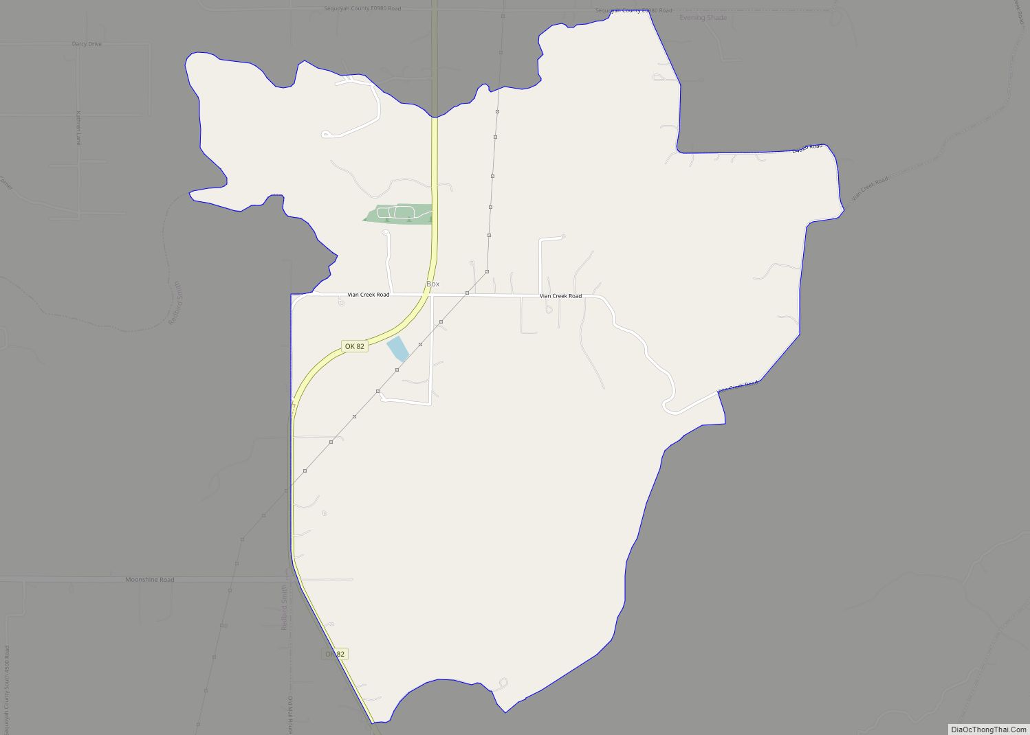
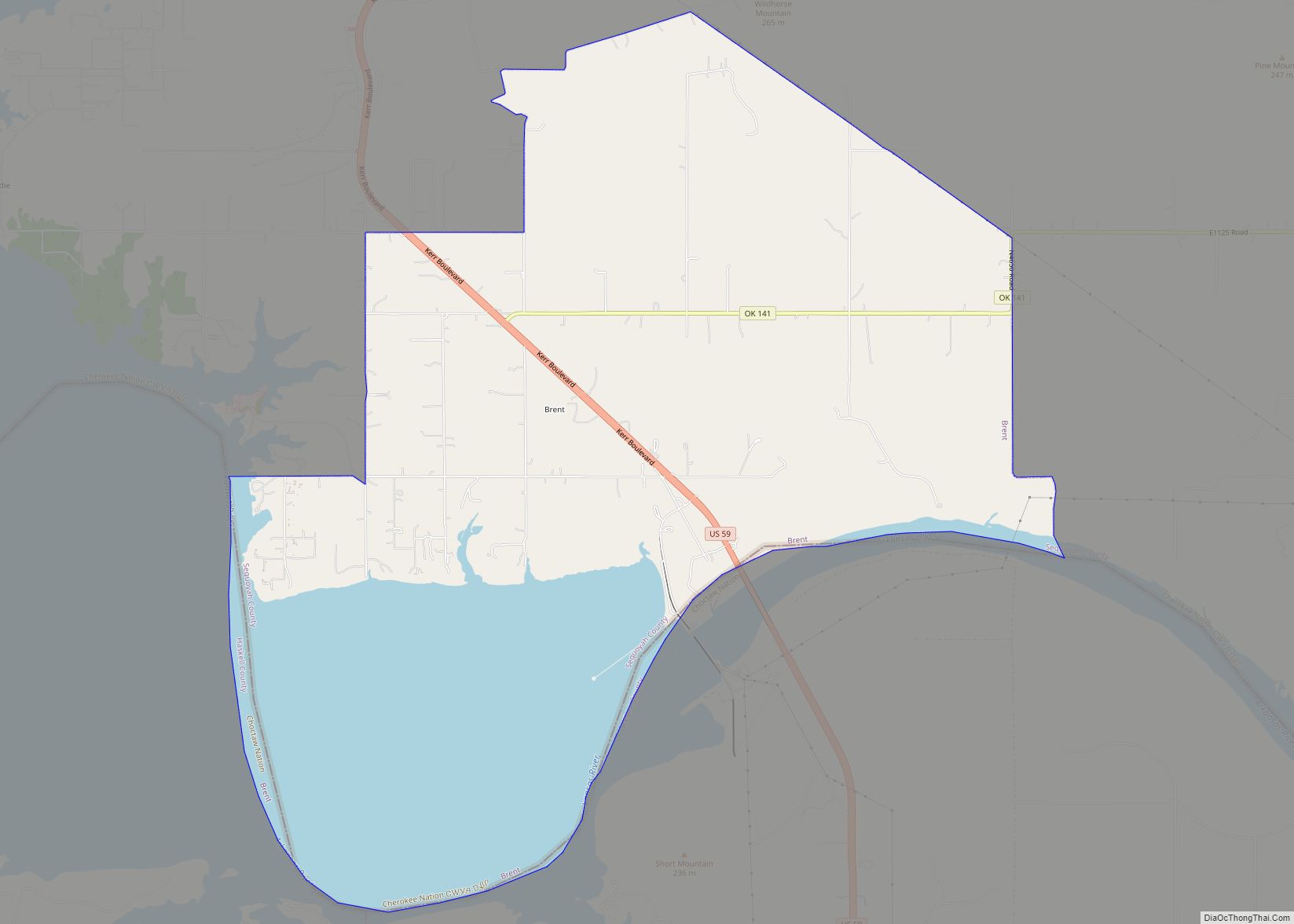
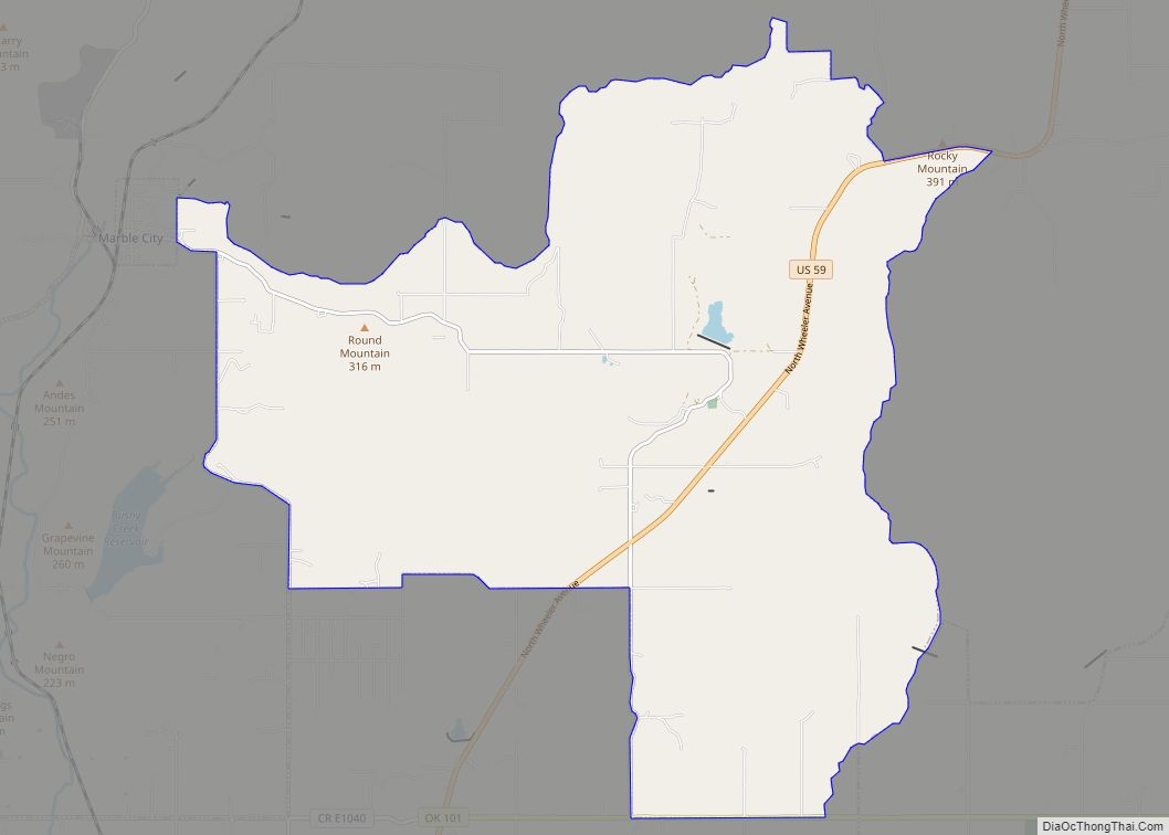
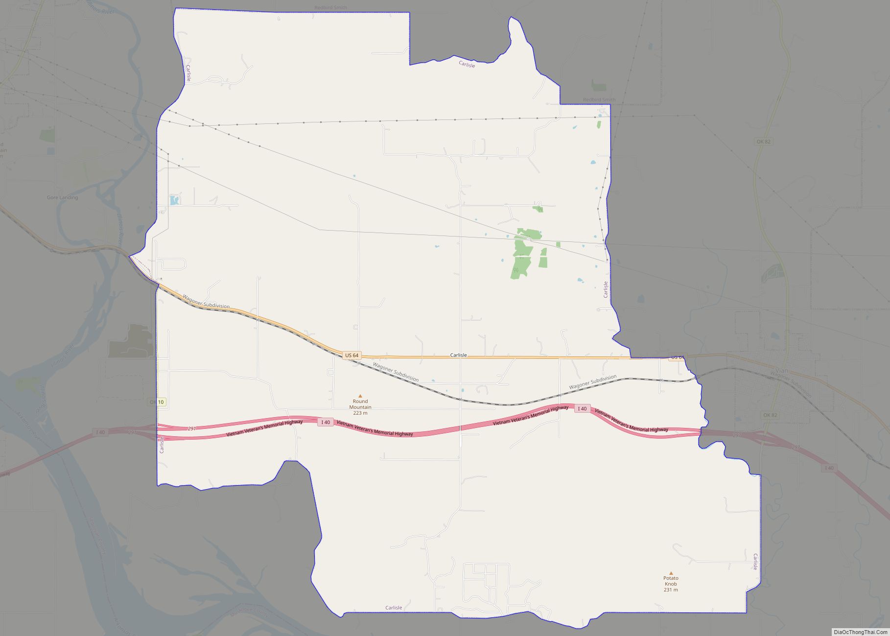
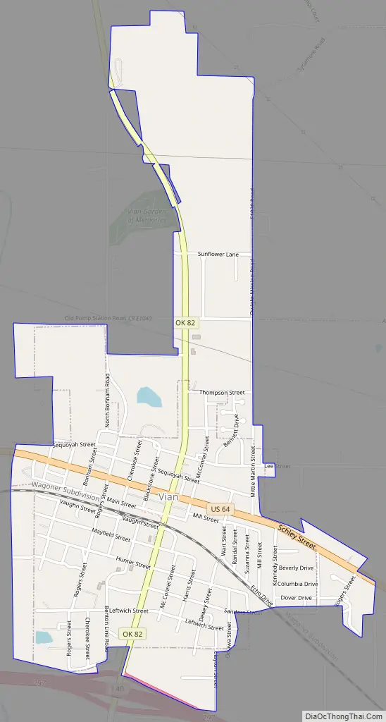
Online Interactive Map
Click on ![]() to view map in "full screen" mode.
to view map in "full screen" mode.
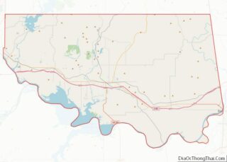
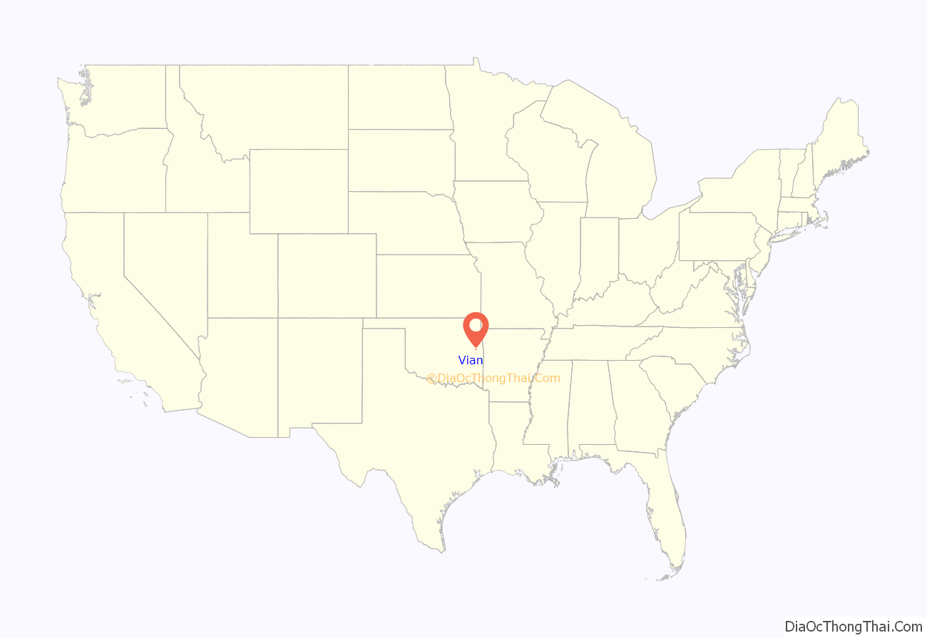
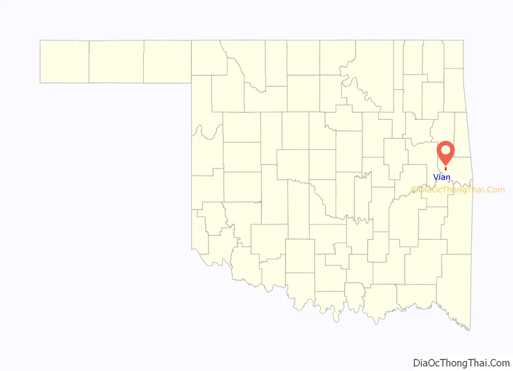
Vian location map. Where is Vian town?
History
At the time of European contact, the area around what is now Vian was inhabited and controlled, but not settled, by the Osage, who used it as hunting ground. The name “Vian” is a corruption of viande, the French word for “meat”; French traders called Vian Creek “bayou viande“, literally “meat bayou”.
The area was part of the controversial Lovely’s Purchase made in 1816, which opened pre-removal Cherokee settlement in the area, then part of the Missouri Territory; the area became part of the Arkansas Territory in 1819. After the Indian Removal Act, Cherokees were given control of the area under the original jurisdiction of the pre-statehood Cherokee Nation, within the Indian Territory. In the process, Dwight Mission was moved to the area from Russellville.
Vian was initially settled as a trading post between Big Vian and Little Vian creeks in the Illinois District of the Cherokee Nation. When a post office was established in 1886, the first postmaster, Mahala Thompson, wanted to name the town Round Mountain, which was already in use; the post office was thus named Vian, for the two creeks. After the Kansas and Arkansas Valley Railway (later the St. Louis, Iron Mountain and Southern Railway and eventually the Missouri Pacific Railroad) laid tracks through the town in 1888, it became an important shipping point for cotton, with an estimated 2,500-3,000 bales shipped annually by 1901. When Oklahoma achieved statehood in 1907, Vian became part of the new state as the Cherokee Nation was all but dissolved. Today, the town lies within the jurisdiction of the modern-day Cherokee Nation of Oklahoma.
Vian’s education system dates back to the late 1880s, when a mission school for Cherokee children was established; a white school was established in the 1890s. Vian was also home to the Douglass High School, which served the region’s African-American students. The district was integrated in the mid-1950s.
Today, Vian’s economy is based largely around tourism and services, owing to its location along Interstate 40 and its proximity to Sequoyah National Wildlife Refuge, Robert S. Kerr Reservoir and Tenkiller Ferry Lake. Agriculture remains prominent in the local economy as well.
Vian Road Map
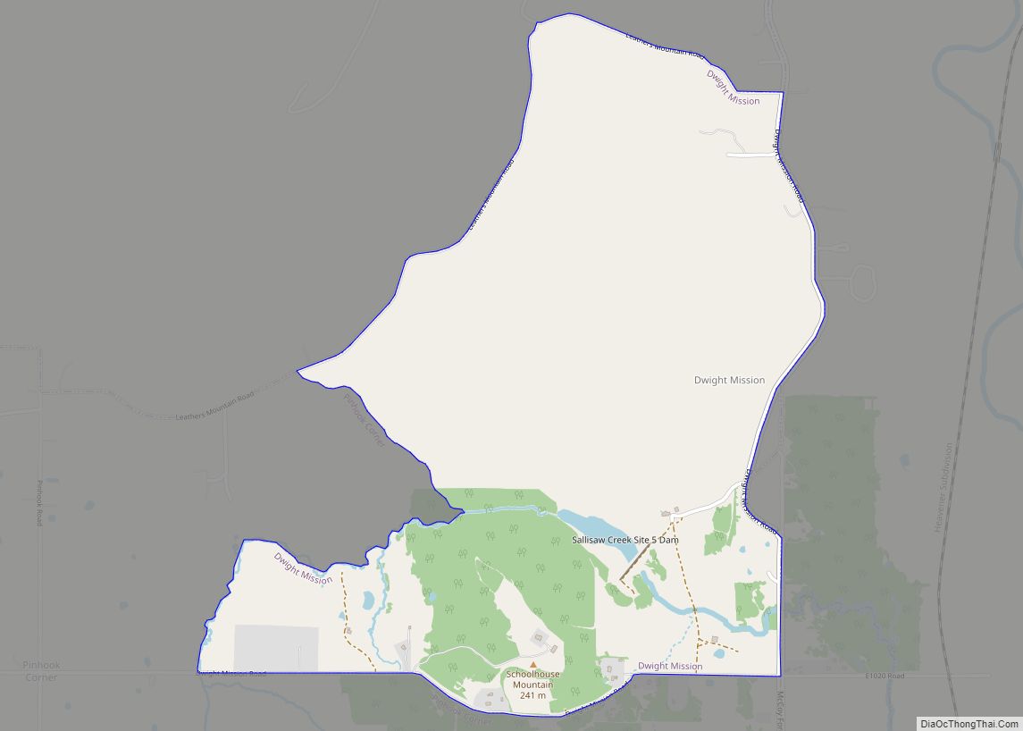
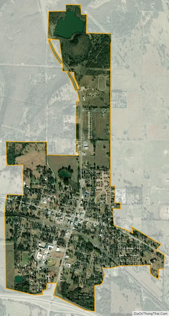
Vian city Satellite Map
Geography
Vian is located at 35°29′52″N 94°58′15″W / 35.49778°N 94.97083°W / 35.49778; -94.97083 (35.497910, -94.970841). It is 11 miles (18 km) west of Sallisaw.
According to the United States Census Bureau, the town has a total area of 0.8 square miles (2.1 km), all land.
See also
Map of Oklahoma State and its subdivision:- Adair
- Alfalfa
- Atoka
- Beaver
- Beckham
- Blaine
- Bryan
- Caddo
- Canadian
- Carter
- Cherokee
- Choctaw
- Cimarron
- Cleveland
- Coal
- Comanche
- Cotton
- Craig
- Creek
- Custer
- Delaware
- Dewey
- Ellis
- Garfield
- Garvin
- Grady
- Grant
- Greer
- Harmon
- Harper
- Haskell
- Hughes
- Jackson
- Jefferson
- Johnston
- Kay
- Kingfisher
- Kiowa
- Latimer
- Le Flore
- Lincoln
- Logan
- Love
- Major
- Marshall
- Mayes
- McClain
- McCurtain
- McIntosh
- Murray
- Muskogee
- Noble
- Nowata
- Okfuskee
- Oklahoma
- Okmulgee
- Osage
- Ottawa
- Pawnee
- Payne
- Pittsburg
- Pontotoc
- Pottawatomie
- Pushmataha
- Roger Mills
- Rogers
- Seminole
- Sequoyah
- Stephens
- Texas
- Tillman
- Tulsa
- Wagoner
- Washington
- Washita
- Woods
- Woodward
- Alabama
- Alaska
- Arizona
- Arkansas
- California
- Colorado
- Connecticut
- Delaware
- District of Columbia
- Florida
- Georgia
- Hawaii
- Idaho
- Illinois
- Indiana
- Iowa
- Kansas
- Kentucky
- Louisiana
- Maine
- Maryland
- Massachusetts
- Michigan
- Minnesota
- Mississippi
- Missouri
- Montana
- Nebraska
- Nevada
- New Hampshire
- New Jersey
- New Mexico
- New York
- North Carolina
- North Dakota
- Ohio
- Oklahoma
- Oregon
- Pennsylvania
- Rhode Island
- South Carolina
- South Dakota
- Tennessee
- Texas
- Utah
- Vermont
- Virginia
- Washington
- West Virginia
- Wisconsin
- Wyoming