Vici /ˈvaɪsaɪ/ is a town in Dewey County, Oklahoma, United States. The population was 699 at the 2010 census. No information appears on the origins of the town name, but Vici is Latin for “I conquered.”
| Name: | Vici town |
|---|---|
| LSAD Code: | 43 |
| LSAD Description: | town (suffix) |
| State: | Oklahoma |
| County: | Dewey County |
| Elevation: | 2,264 ft (690 m) |
| Total Area: | 0.43 sq mi (1.12 km²) |
| Land Area: | 0.43 sq mi (1.12 km²) |
| Water Area: | 0.00 sq mi (0.00 km²) |
| Total Population: | 611 |
| Population Density: | 1,407.83/sq mi (543.45/km²) |
| ZIP code: | 73859 |
| Area code: | 580 |
| FIPS code: | 4077300 |
| GNISfeature ID: | 1099255 |
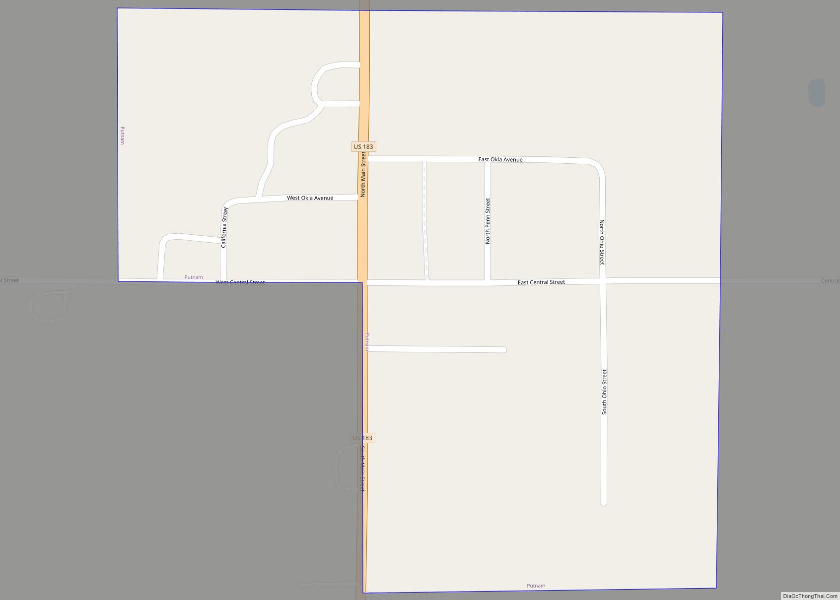
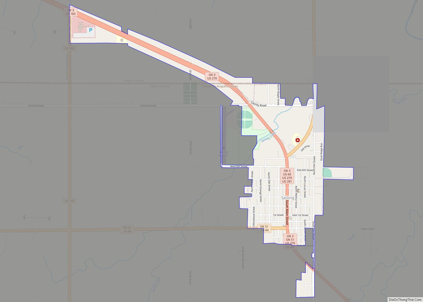
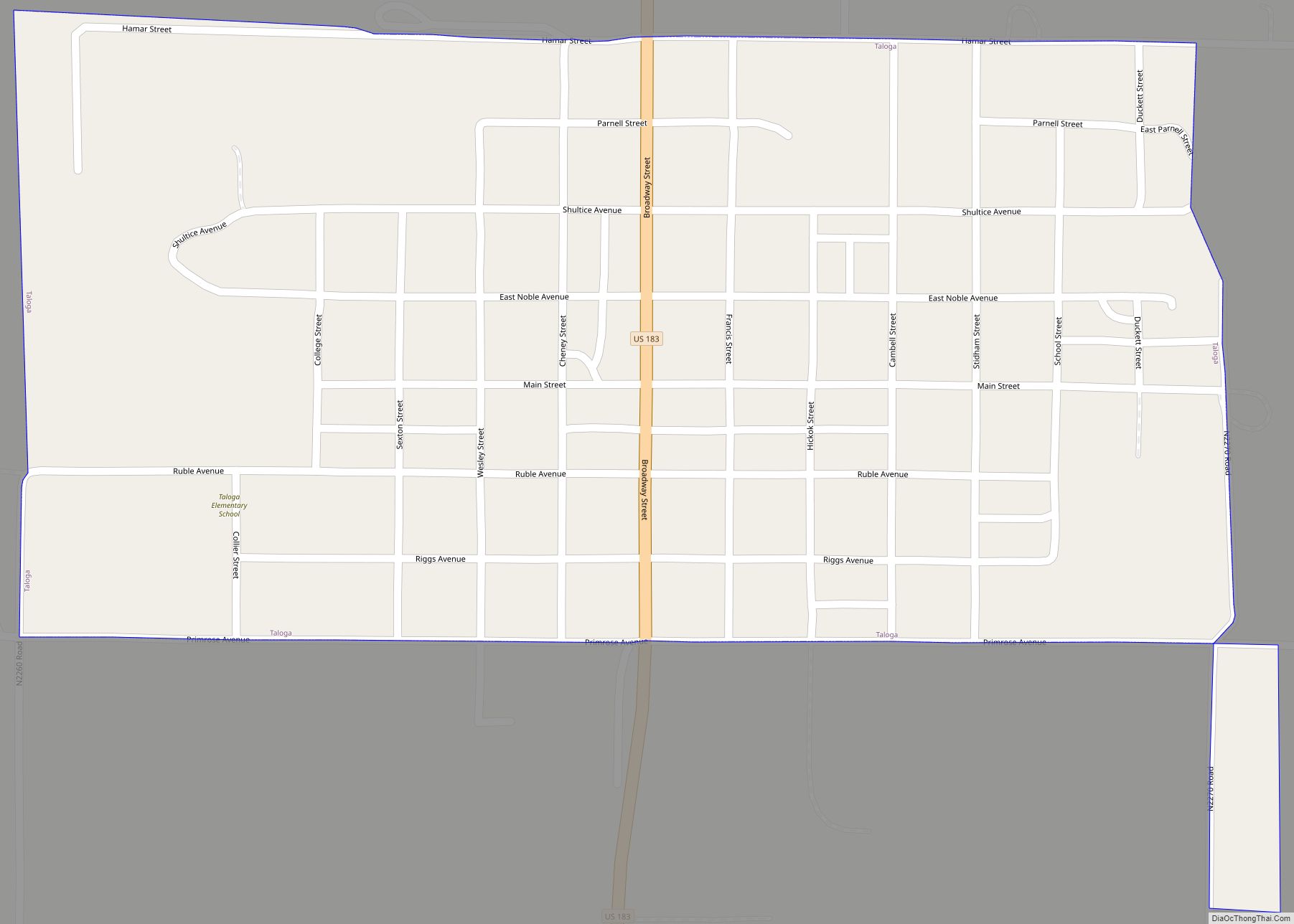
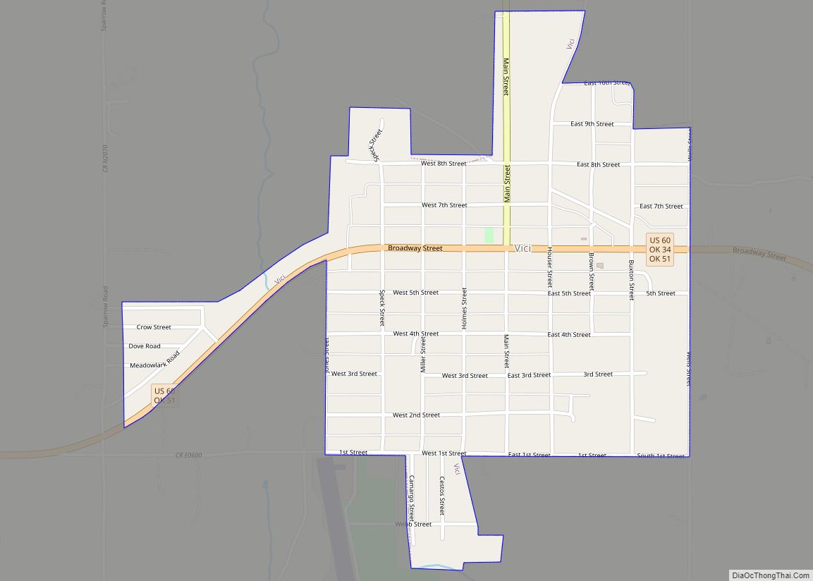
Online Interactive Map
Click on ![]() to view map in "full screen" mode.
to view map in "full screen" mode.
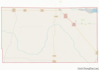
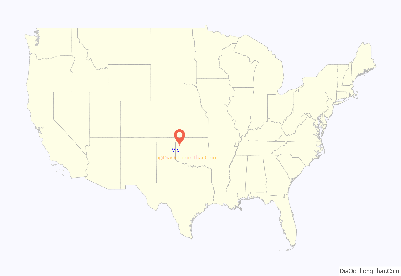
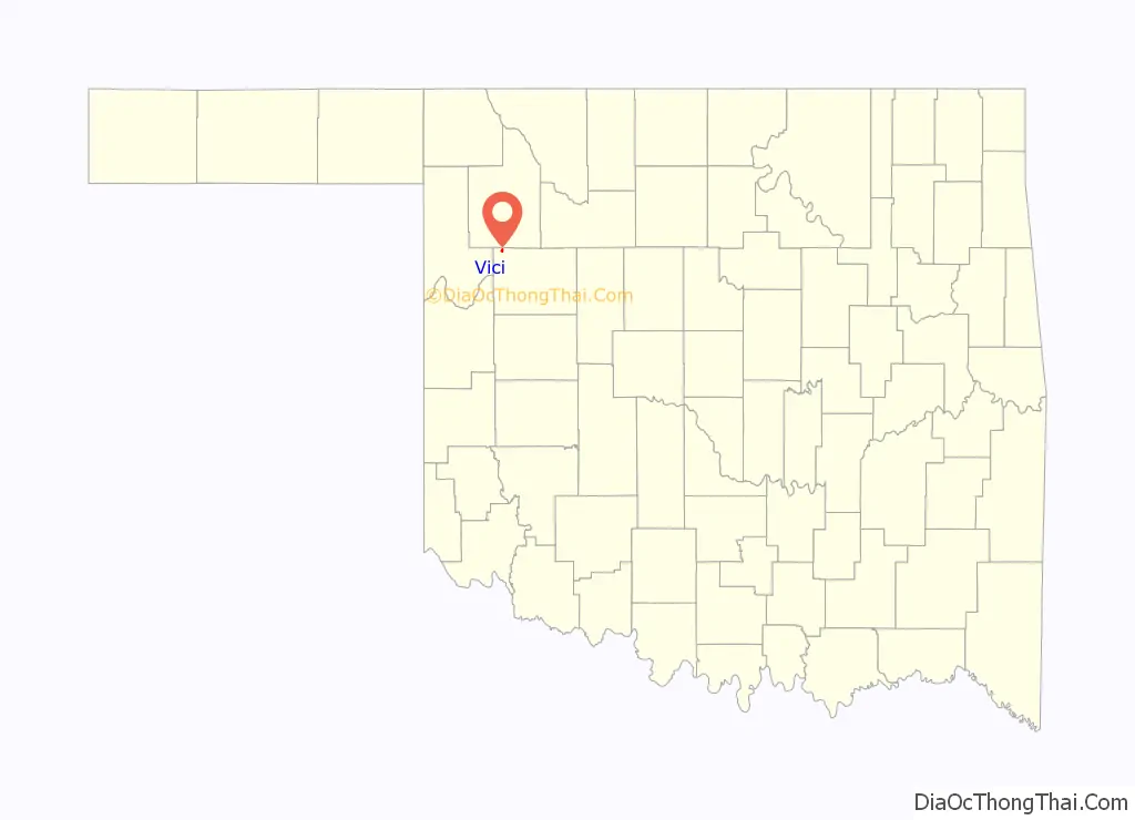
Vici location map. Where is Vici town?
History
Although it had a couple of nearby predecessor settlements, the current town of Vici was platted on September 11, 1911, at a time when buildings were being moved to the site to be close to the tracks of the newly built Wichita Falls and Northwestern Railway, later part of the Missouri–Kansas–Texas Railroad. The town became a prosperous agricultural-products shipping point through the 1940s. Rail service ended in 1972, but activities such as ranching, oil and gas, and a large nursing home became important economic drivers in the modern era.
In 2010 the movie The Dome of Heaven was shot in Vici featuring some local residents in the film, including Mark Randall, Molly Randall, and Travis Dennett and Trey Verhoeff.
The 200MW Persimmon Creek Wind Farm, north-northwest of town, has been online since September 2018.
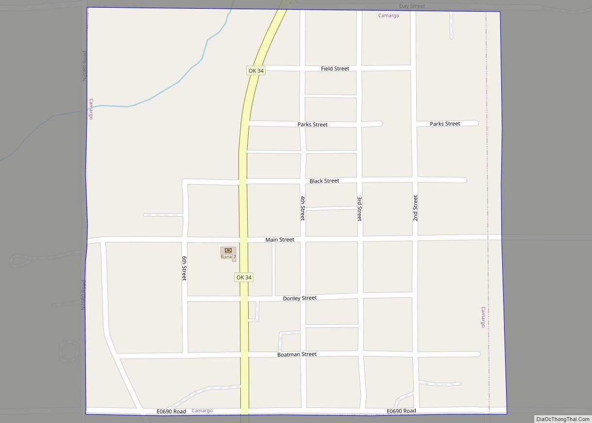
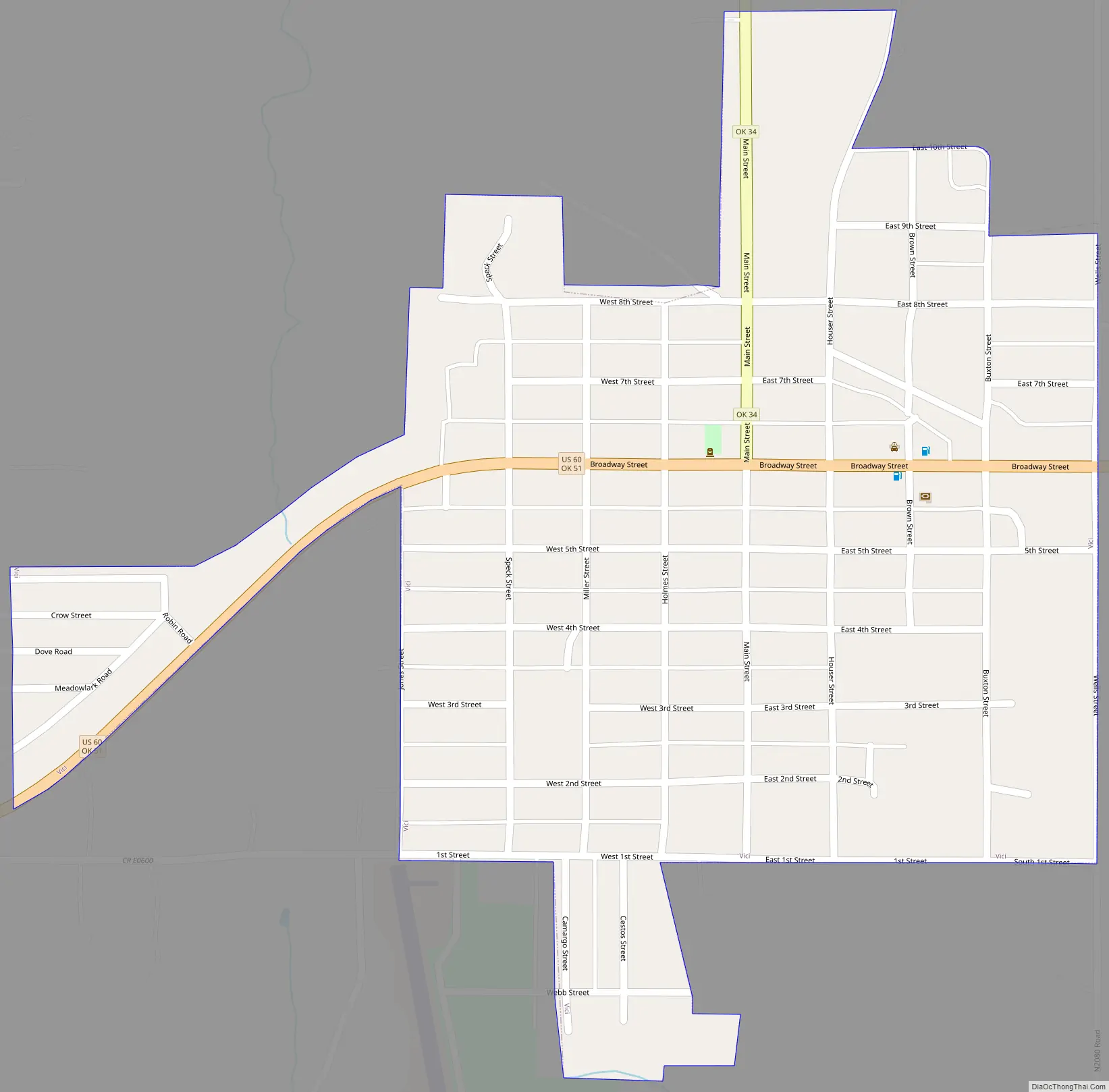
Vici Road Map
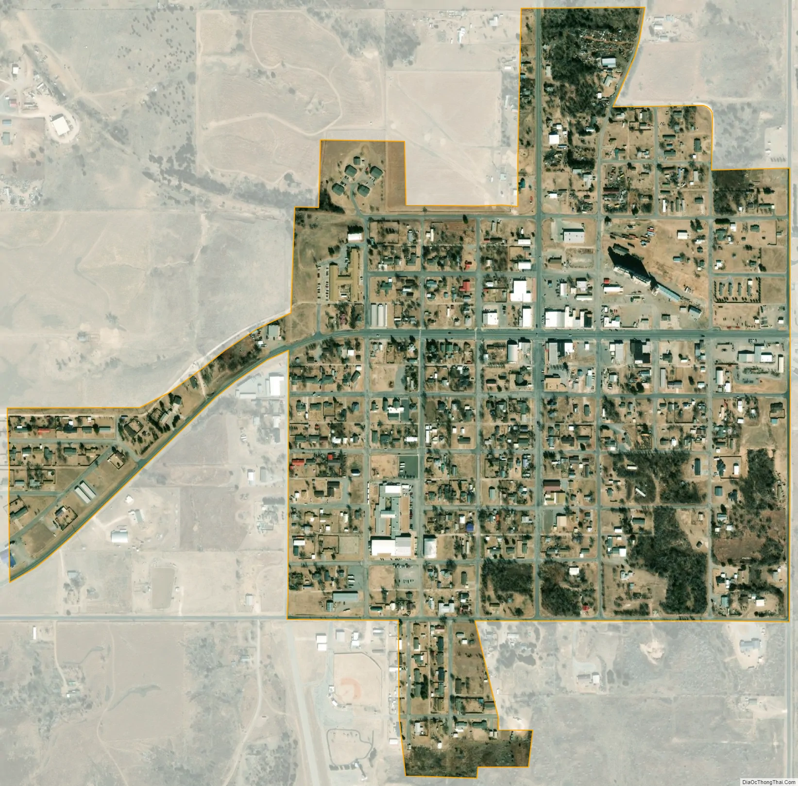
Vici city Satellite Map
Geography
Vici is located at 36°8′53″N 99°17′57″W / 36.14806°N 99.29917°W / 36.14806; -99.29917 (36.148180, -99.299259).
According to the United States Census Bureau, the town has a total area of 0.4 square miles (1.0 km), all land.
Vici is at the intersection of U.S. Route 60 and Oklahoma State Highway 34.
Vici Municipal Airport (FAA Identifier: 5O1) is one mile south of town, and features a paved 2565’ x 50’ runway.
See also
Map of Oklahoma State and its subdivision:- Adair
- Alfalfa
- Atoka
- Beaver
- Beckham
- Blaine
- Bryan
- Caddo
- Canadian
- Carter
- Cherokee
- Choctaw
- Cimarron
- Cleveland
- Coal
- Comanche
- Cotton
- Craig
- Creek
- Custer
- Delaware
- Dewey
- Ellis
- Garfield
- Garvin
- Grady
- Grant
- Greer
- Harmon
- Harper
- Haskell
- Hughes
- Jackson
- Jefferson
- Johnston
- Kay
- Kingfisher
- Kiowa
- Latimer
- Le Flore
- Lincoln
- Logan
- Love
- Major
- Marshall
- Mayes
- McClain
- McCurtain
- McIntosh
- Murray
- Muskogee
- Noble
- Nowata
- Okfuskee
- Oklahoma
- Okmulgee
- Osage
- Ottawa
- Pawnee
- Payne
- Pittsburg
- Pontotoc
- Pottawatomie
- Pushmataha
- Roger Mills
- Rogers
- Seminole
- Sequoyah
- Stephens
- Texas
- Tillman
- Tulsa
- Wagoner
- Washington
- Washita
- Woods
- Woodward
- Alabama
- Alaska
- Arizona
- Arkansas
- California
- Colorado
- Connecticut
- Delaware
- District of Columbia
- Florida
- Georgia
- Hawaii
- Idaho
- Illinois
- Indiana
- Iowa
- Kansas
- Kentucky
- Louisiana
- Maine
- Maryland
- Massachusetts
- Michigan
- Minnesota
- Mississippi
- Missouri
- Montana
- Nebraska
- Nevada
- New Hampshire
- New Jersey
- New Mexico
- New York
- North Carolina
- North Dakota
- Ohio
- Oklahoma
- Oregon
- Pennsylvania
- Rhode Island
- South Carolina
- South Dakota
- Tennessee
- Texas
- Utah
- Vermont
- Virginia
- Washington
- West Virginia
- Wisconsin
- Wyoming