West Siloam Springs is a town in Delaware County, Oklahoma, United States. The population was 846 at the 2010 census, a 3.5 percent decrease from the figure of 877 recorded in 2000. A bedroom community for Siloam Springs, Arkansas, it is notable for its Cherokee casino, and is the closest town to Natural Falls State Park.
| Name: | West Siloam Springs town |
|---|---|
| LSAD Code: | 43 |
| LSAD Description: | town (suffix) |
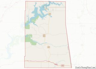
| State: | Oklahoma |
| County: | Delaware County |
| Elevation: | 1,142 ft (348 m) |
| Total Area: | 3.84 sq mi (9.94 km²) |
| Land Area: | 3.84 sq mi (9.94 km²) |
| Water Area: | 0.00 sq mi (0.00 km²) |
| Total Population: | 1,000 |
| Population Density: | 260.48/sq mi (100.57/km²) |
| FIPS code: | 4080350 |
| GNISfeature ID: | 1099609 |
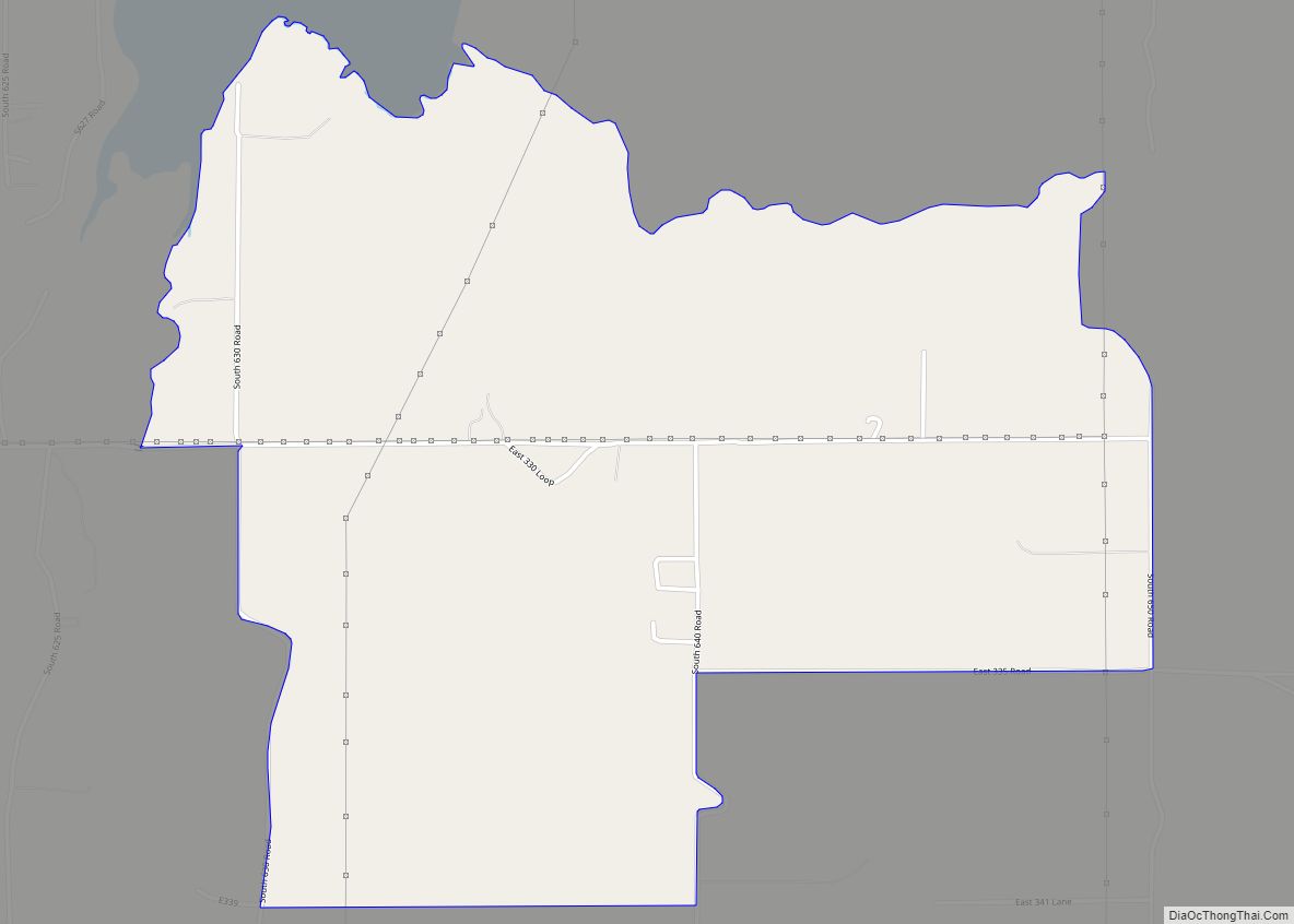
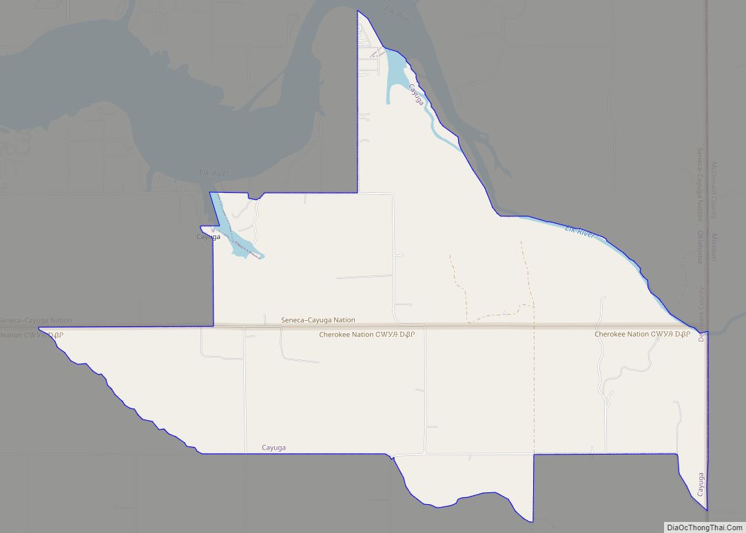
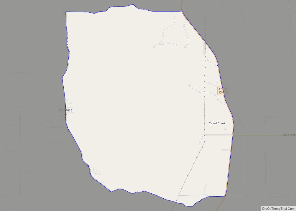
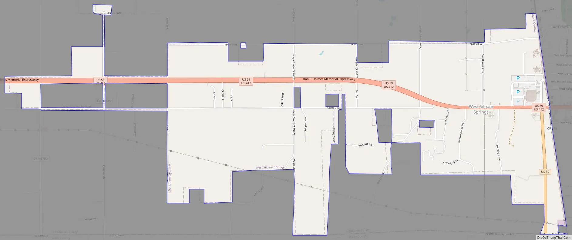
Online Interactive Map
Click on ![]() to view map in "full screen" mode.
to view map in "full screen" mode.
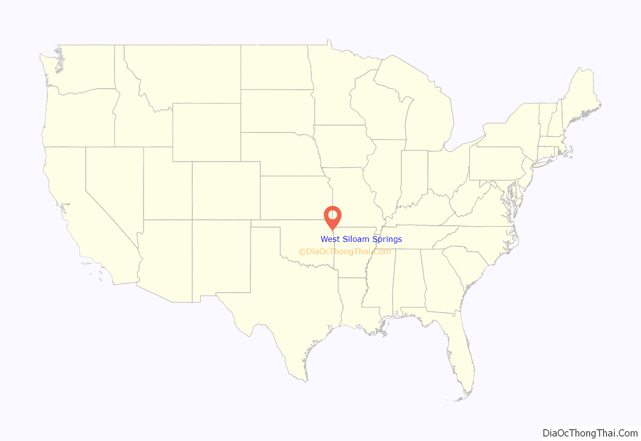
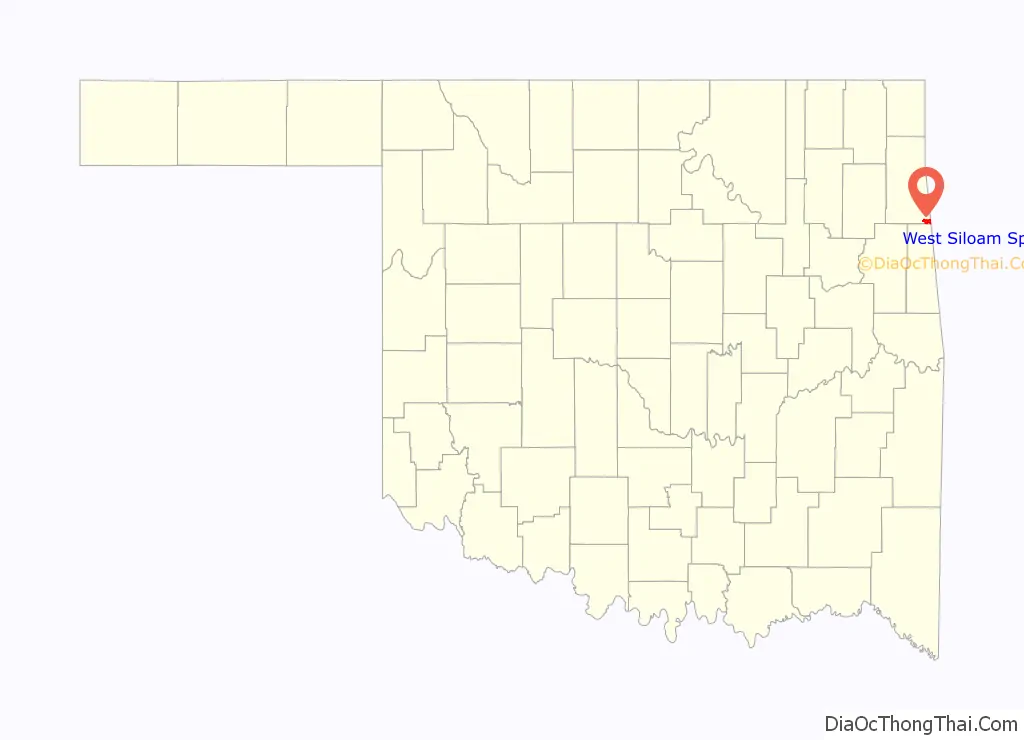
West Siloam Springs location map. Where is West Siloam Springs town?
History
In the mid-20th century, the population of Siloam Springs, Arkansas spilled across the Oklahoma – Arkansas state line, creating the need for Oklahoma-based town government. The population of the community had grown to 142 by July 10, 1969, when 35 out of 49 eligible voters approved incorporation.
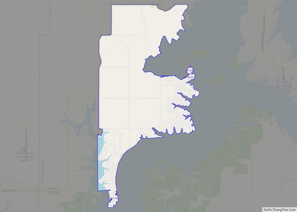
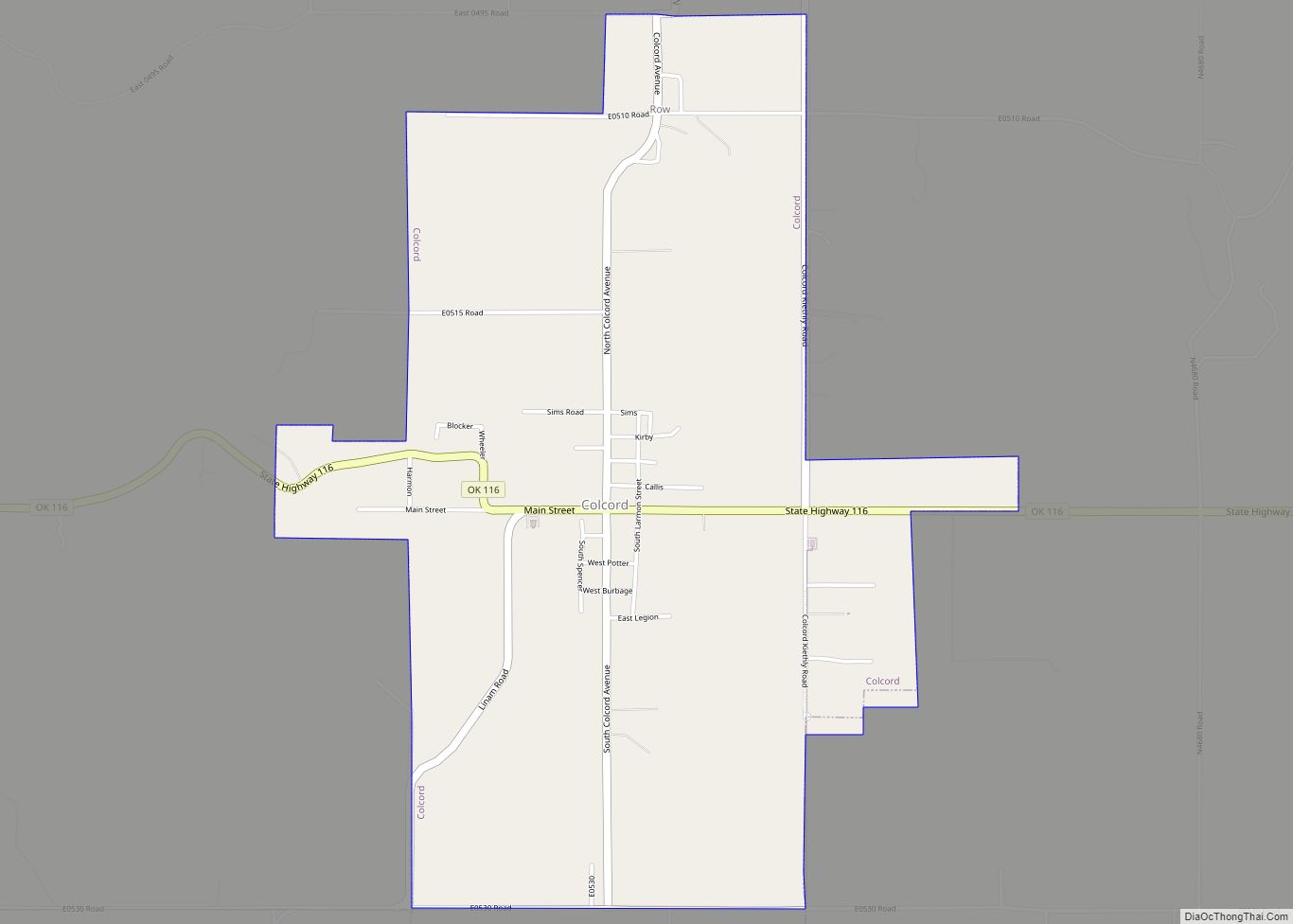
West Siloam Springs Road Map
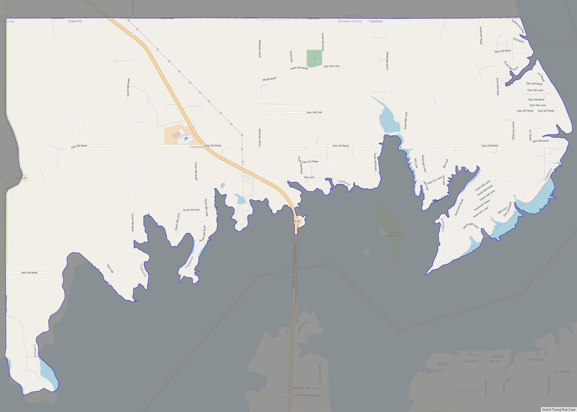
West Siloam Springs city Satellite Map

Geography
West Siloam Springs is located at 36°10′41″N 94°35′45″W / 36.17806°N 94.59583°W / 36.17806; -94.59583 (36.178147, -94.595751). It is immediately west of Siloam Springs, Arkansas.
According to the United States Census Bureau, the town has a total area of 3.5 square miles (9.1 km), all land.
See also
Map of Oklahoma State and its subdivision:- Adair
- Alfalfa
- Atoka
- Beaver
- Beckham
- Blaine
- Bryan
- Caddo
- Canadian
- Carter
- Cherokee
- Choctaw
- Cimarron
- Cleveland
- Coal
- Comanche
- Cotton
- Craig
- Creek
- Custer
- Delaware
- Dewey
- Ellis
- Garfield
- Garvin
- Grady
- Grant
- Greer
- Harmon
- Harper
- Haskell
- Hughes
- Jackson
- Jefferson
- Johnston
- Kay
- Kingfisher
- Kiowa
- Latimer
- Le Flore
- Lincoln
- Logan
- Love
- Major
- Marshall
- Mayes
- McClain
- McCurtain
- McIntosh
- Murray
- Muskogee
- Noble
- Nowata
- Okfuskee
- Oklahoma
- Okmulgee
- Osage
- Ottawa
- Pawnee
- Payne
- Pittsburg
- Pontotoc
- Pottawatomie
- Pushmataha
- Roger Mills
- Rogers
- Seminole
- Sequoyah
- Stephens
- Texas
- Tillman
- Tulsa
- Wagoner
- Washington
- Washita
- Woods
- Woodward
- Alabama
- Alaska
- Arizona
- Arkansas
- California
- Colorado
- Connecticut
- Delaware
- District of Columbia
- Florida
- Georgia
- Hawaii
- Idaho
- Illinois
- Indiana
- Iowa
- Kansas
- Kentucky
- Louisiana
- Maine
- Maryland
- Massachusetts
- Michigan
- Minnesota
- Mississippi
- Missouri
- Montana
- Nebraska
- Nevada
- New Hampshire
- New Jersey
- New Mexico
- New York
- North Carolina
- North Dakota
- Ohio
- Oklahoma
- Oregon
- Pennsylvania
- Rhode Island
- South Carolina
- South Dakota
- Tennessee
- Texas
- Utah
- Vermont
- Virginia
- Washington
- West Virginia
- Wisconsin
- Wyoming