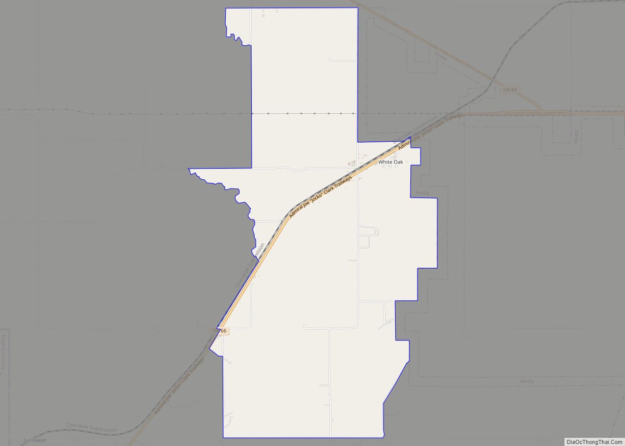
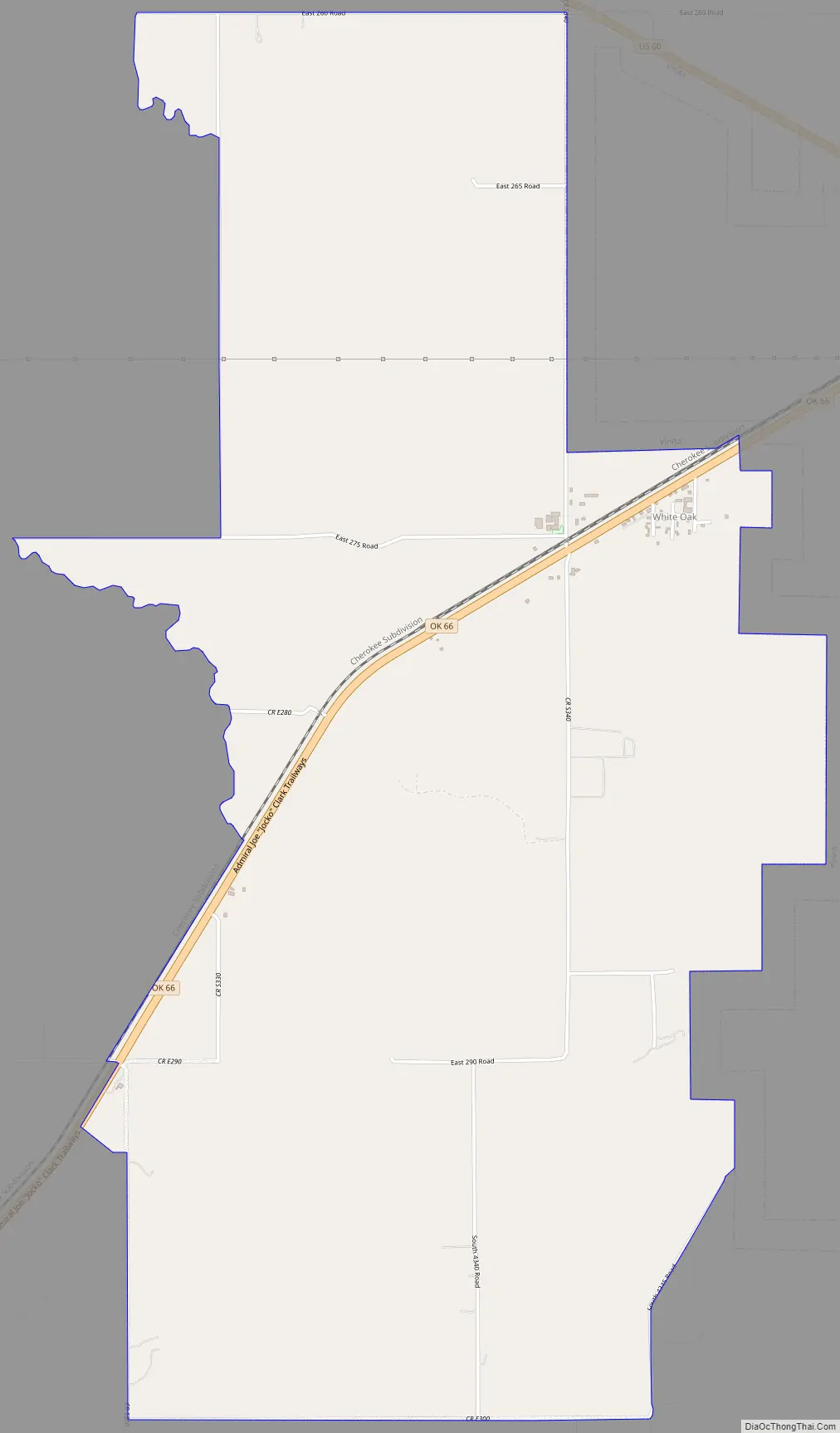
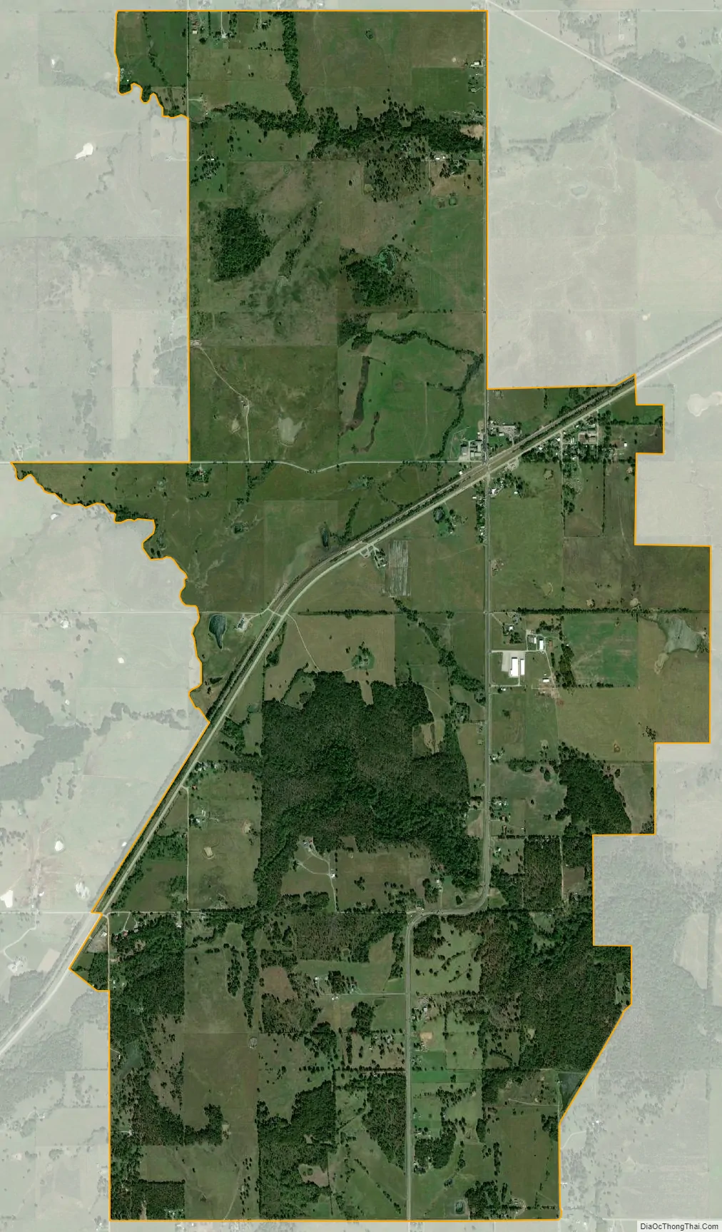
White Oak is an unincorporated community and census-designated place (CDP) in Craig County, Oklahoma, United States, along State Highway 66, approximately one mile (1.6 km) west of that road’s eastern terminus with U.S. Route 60. The community had a post office from October 14, 1898 until October 31, 1957. As of the 2010 census, the White Oak CDP had a population of 263. White Oak’s high school closed after the 2010-11 school year due to budget concerns, the elementary school and middle school continue to operate while the old high school building is abandoned. The high school campus contains two basketball gyms, the main gym named Carl Horner gymnasium, and an old gym connected to the school. The only remnants of the football field is the concession stand.
White Oak is the location of the Shawnee Tribe’s annual Spring and Fall Bread Dances and Green Corn ceremonies.
| Name: | White Oak CDP |
|---|---|
| LSAD Code: | 57 |
| LSAD Description: | CDP (suffix) |
| State: | Oklahoma |
| County: | Craig County |
| Elevation: | 771 ft (235 m) |
| Total Area: | 5.97 sq mi (15.46 km²) |
| Land Area: | 5.95 sq mi (15.40 km²) |
| Water Area: | 0.02 sq mi (0.06 km²) |
| Total Population: | 208 |
| Population Density: | 34.99/sq mi (13.51/km²) |
| ZIP code: | 74301 |
| FIPS code: | 4080850 |
| GNISfeature ID: | 1099704 |
Online Interactive Map
Click on ![]() to view map in "full screen" mode.
to view map in "full screen" mode.
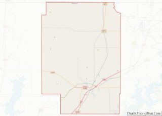
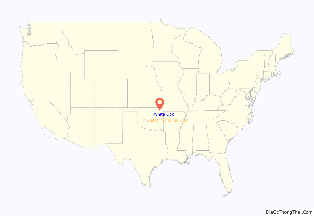
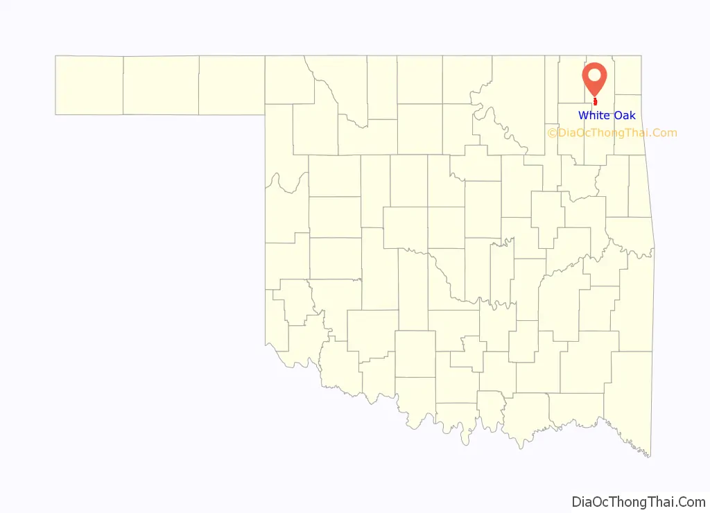
White Oak location map. Where is White Oak CDP?
White Oak Road Map
White Oak city Satellite Map
See also
Map of Oklahoma State and its subdivision:- Adair
- Alfalfa
- Atoka
- Beaver
- Beckham
- Blaine
- Bryan
- Caddo
- Canadian
- Carter
- Cherokee
- Choctaw
- Cimarron
- Cleveland
- Coal
- Comanche
- Cotton
- Craig
- Creek
- Custer
- Delaware
- Dewey
- Ellis
- Garfield
- Garvin
- Grady
- Grant
- Greer
- Harmon
- Harper
- Haskell
- Hughes
- Jackson
- Jefferson
- Johnston
- Kay
- Kingfisher
- Kiowa
- Latimer
- Le Flore
- Lincoln
- Logan
- Love
- Major
- Marshall
- Mayes
- McClain
- McCurtain
- McIntosh
- Murray
- Muskogee
- Noble
- Nowata
- Okfuskee
- Oklahoma
- Okmulgee
- Osage
- Ottawa
- Pawnee
- Payne
- Pittsburg
- Pontotoc
- Pottawatomie
- Pushmataha
- Roger Mills
- Rogers
- Seminole
- Sequoyah
- Stephens
- Texas
- Tillman
- Tulsa
- Wagoner
- Washington
- Washita
- Woods
- Woodward
- Alabama
- Alaska
- Arizona
- Arkansas
- California
- Colorado
- Connecticut
- Delaware
- District of Columbia
- Florida
- Georgia
- Hawaii
- Idaho
- Illinois
- Indiana
- Iowa
- Kansas
- Kentucky
- Louisiana
- Maine
- Maryland
- Massachusetts
- Michigan
- Minnesota
- Mississippi
- Missouri
- Montana
- Nebraska
- Nevada
- New Hampshire
- New Jersey
- New Mexico
- New York
- North Carolina
- North Dakota
- Ohio
- Oklahoma
- Oregon
- Pennsylvania
- Rhode Island
- South Carolina
- South Dakota
- Tennessee
- Texas
- Utah
- Vermont
- Virginia
- Washington
- West Virginia
- Wisconsin
- Wyoming