Wynnewood (/ˈwɪniwʊd/ WIH-nee-wood) is a city in Garvin County, Oklahoma, United States. It is 67 miles (108 km) south of Oklahoma City. The population was 2,212 at the 2010 U.S. census, compared to 2,367 in 2000. Located in what was then the Chickasaw Nation of Indian Territory, it began as a village called “Walner” in 1886, on the proposed route of the Gulf, Colorado and Santa Fe Railway. Railroad workers from Pennsylvania named the community for Wynnewood, a community outside of Philadelphia. The name became official on April 6, 1887.
| Name: | Wynnewood city |
|---|---|
| LSAD Code: | 25 |
| LSAD Description: | city (suffix) |
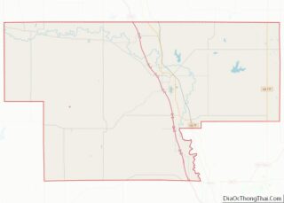
| State: | Oklahoma |
| County: | Garvin County |
| Elevation: | 902 ft (275 m) |
| Total Area: | 1.55 sq mi (4.03 km²) |
| Land Area: | 1.55 sq mi (4.03 km²) |
| Water Area: | 0.00 sq mi (0.00 km²) |
| Total Population: | 1,927 |
| Population Density: | 1,240.03/sq mi (478.70/km²) |
| ZIP code: | 73098 |
| Area code: | 405 |
| FIPS code: | 4082400 |
| GNISfeature ID: | 1100027 |
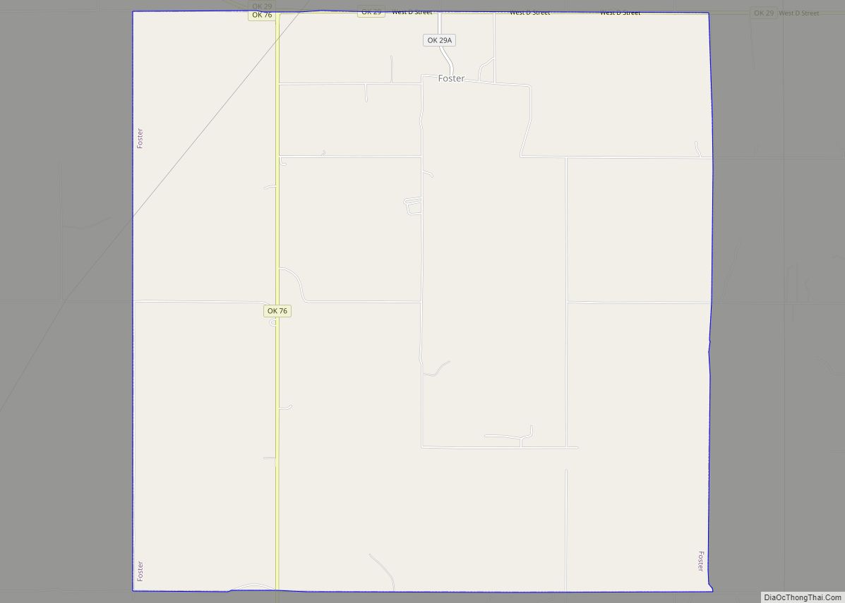
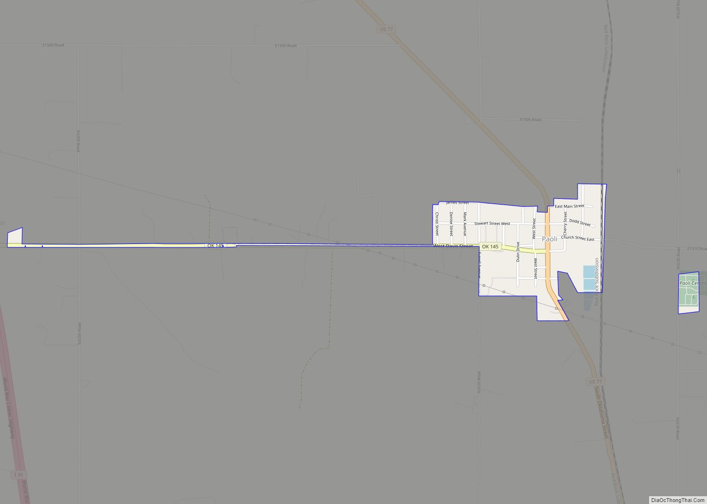
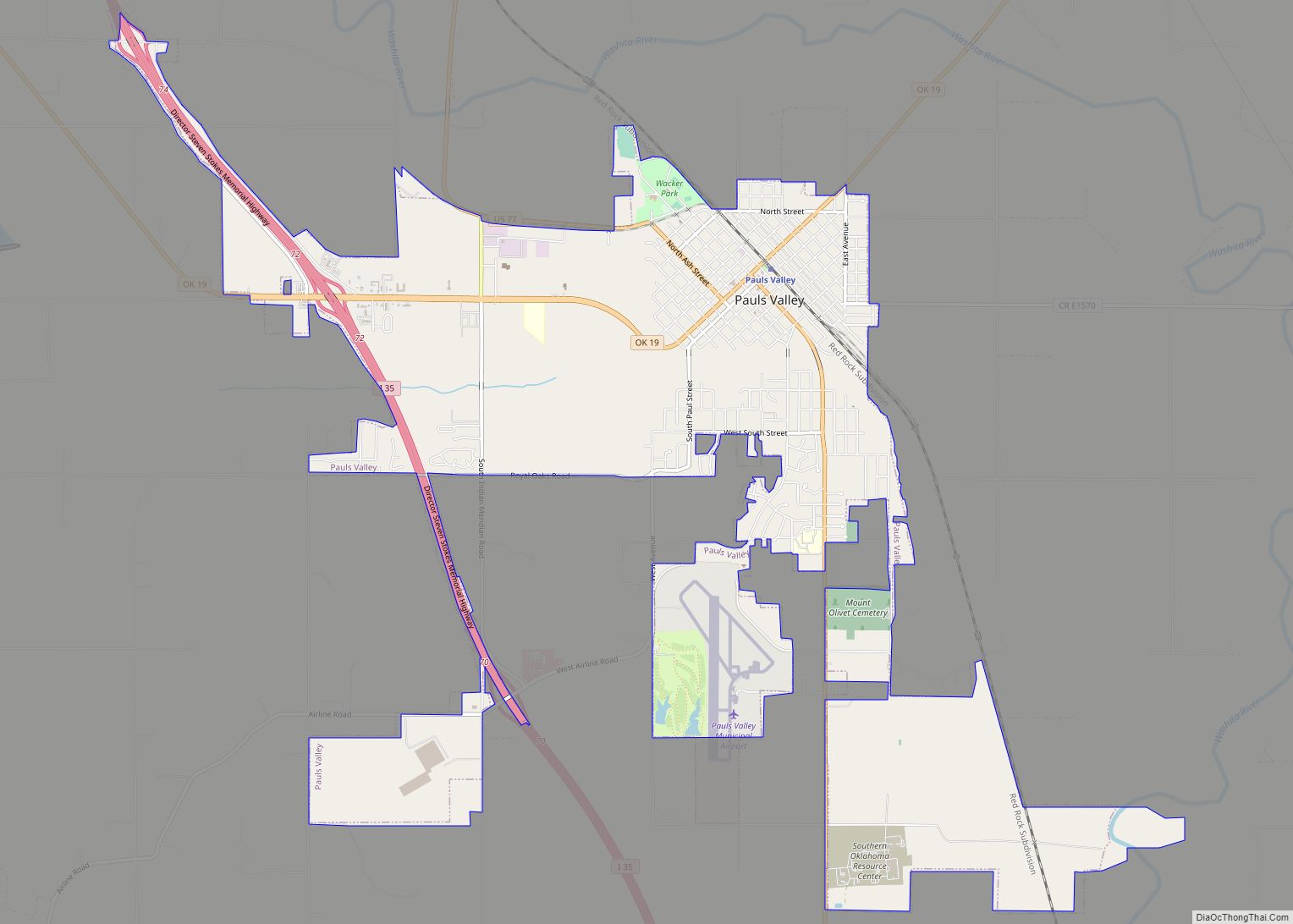
Online Interactive Map
Click on ![]() to view map in "full screen" mode.
to view map in "full screen" mode.
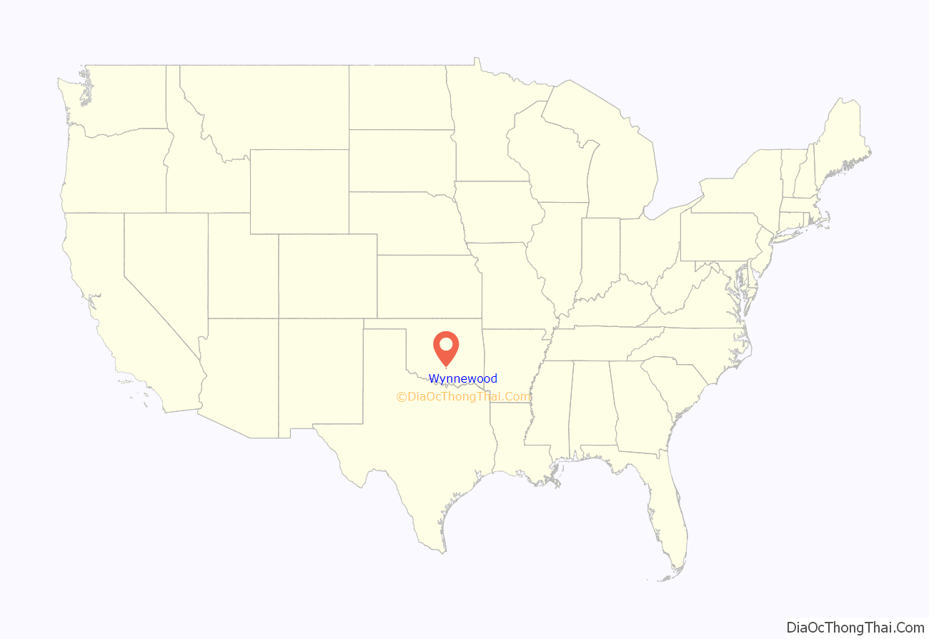
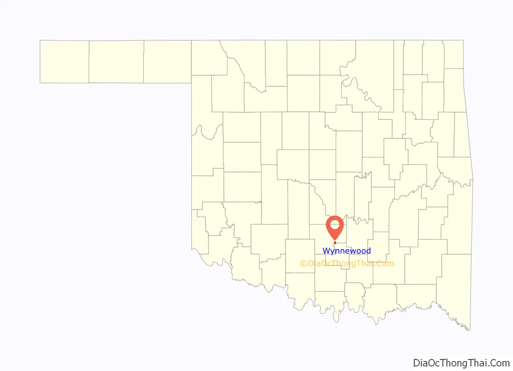
Wynnewood location map. Where is Wynnewood city?
History
At the time of its founding, Wynnewood was located in Pickens County, Chickasaw Nation.
Wynnewood quickly became a market town for the surrounding area. In 1887, Presbyterian missionary Mary Semple Hotchkins moved her school for Chickasaw children from Cherokee Town to Wynnewood. In 1901, local citizens paid for building Indianola College. A promotional brochure published in 1907 called Wynnewood “the Queen City of the Famous Washita Valley.” It could soon boast of having an opera house, electric lights, telephones, and the thirty-room Eskridge Hotel.
The Eskridge Hotel continued in business until 1970, when it closed for good. In 1973, the Wynnewood Historical Society bought the three-story structure and converted it into a museum of local history. Hotel rooms have been decorated to depict life in Oklahoma during the late 19th century and early 20th century. In 1978, the former hotel was added to the National Register of Historic Places (NRHP).
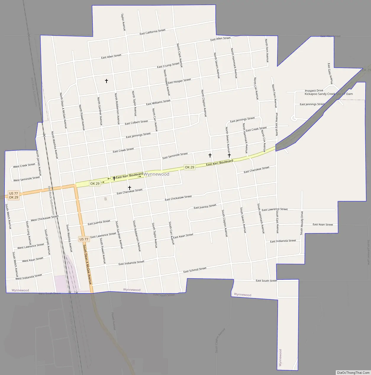
Wynnewood Road Map
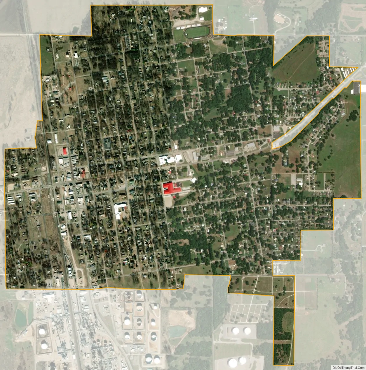
Wynnewood city Satellite Map
Geography
Wynnewood is located in southeastern Garvin County at 34°38′38″N 97°9′53″W / 34.64389°N 97.16472°W / 34.64389; -97.16472 (34.643884, -97.164694). According to the United States Census Bureau, the city has a total area of 1.5 square miles (3.8 km), all land. The Washita River, a tributary of the Red River, runs just to the west of the city.
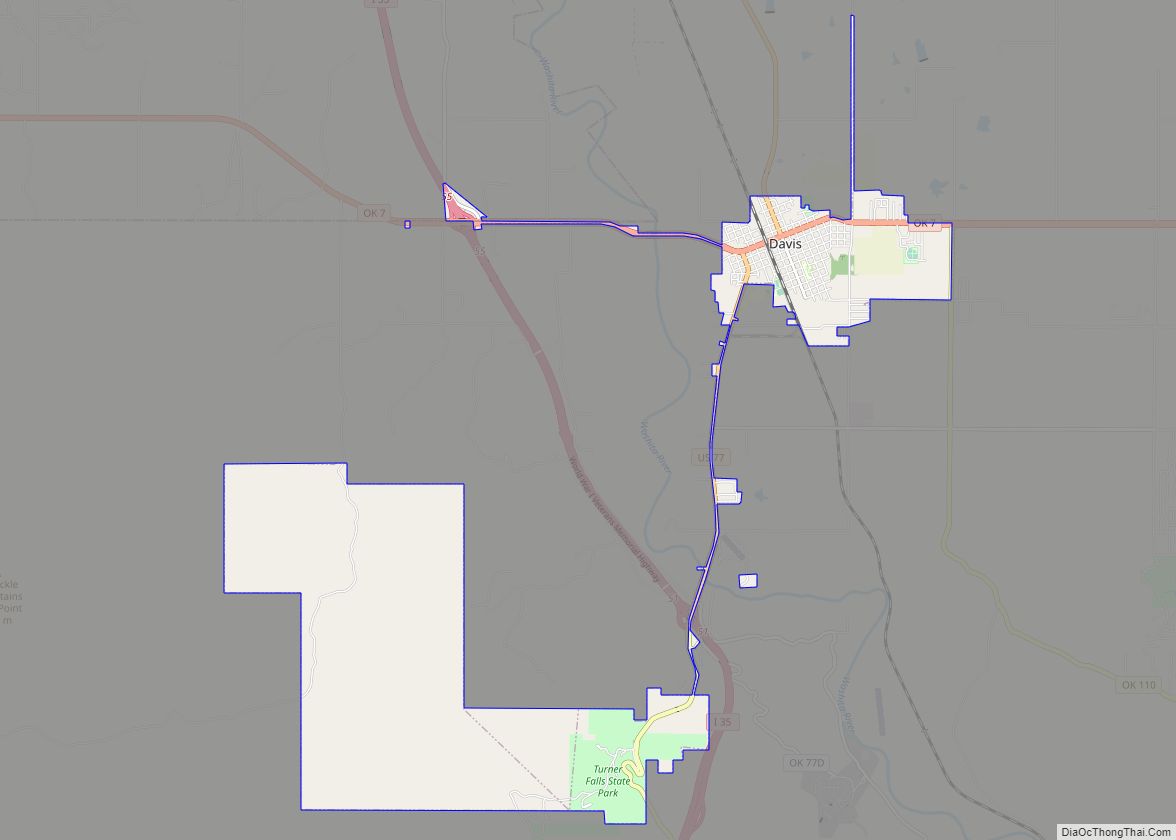
The community is at the junction of U.S. Highway 77 and State Highway 29, which links it to Interstate 35 to the west. US 71 leads northwest 9 miles (14 km) to Pauls Valley, the Garvin County seat, and south 10 miles (16 km) to Davis. Highway 29 leads west 3 miles (5 km) to Interstate 35 and east 11 miles (18 km) to U.S. Route 177.
See also
Map of Oklahoma State and its subdivision:- Adair
- Alfalfa
- Atoka
- Beaver
- Beckham
- Blaine
- Bryan
- Caddo
- Canadian
- Carter
- Cherokee
- Choctaw
- Cimarron
- Cleveland
- Coal
- Comanche
- Cotton
- Craig
- Creek
- Custer
- Delaware
- Dewey
- Ellis
- Garfield
- Garvin
- Grady
- Grant
- Greer
- Harmon
- Harper
- Haskell
- Hughes
- Jackson
- Jefferson
- Johnston
- Kay
- Kingfisher
- Kiowa
- Latimer
- Le Flore
- Lincoln
- Logan
- Love
- Major
- Marshall
- Mayes
- McClain
- McCurtain
- McIntosh
- Murray
- Muskogee
- Noble
- Nowata
- Okfuskee
- Oklahoma
- Okmulgee
- Osage
- Ottawa
- Pawnee
- Payne
- Pittsburg
- Pontotoc
- Pottawatomie
- Pushmataha
- Roger Mills
- Rogers
- Seminole
- Sequoyah
- Stephens
- Texas
- Tillman
- Tulsa
- Wagoner
- Washington
- Washita
- Woods
- Woodward
- Alabama
- Alaska
- Arizona
- Arkansas
- California
- Colorado
- Connecticut
- Delaware
- District of Columbia
- Florida
- Georgia
- Hawaii
- Idaho
- Illinois
- Indiana
- Iowa
- Kansas
- Kentucky
- Louisiana
- Maine
- Maryland
- Massachusetts
- Michigan
- Minnesota
- Mississippi
- Missouri
- Montana
- Nebraska
- Nevada
- New Hampshire
- New Jersey
- New Mexico
- New York
- North Carolina
- North Dakota
- Ohio
- Oklahoma
- Oregon
- Pennsylvania
- Rhode Island
- South Carolina
- South Dakota
- Tennessee
- Texas
- Utah
- Vermont
- Virginia
- Washington
- West Virginia
- Wisconsin
- Wyoming