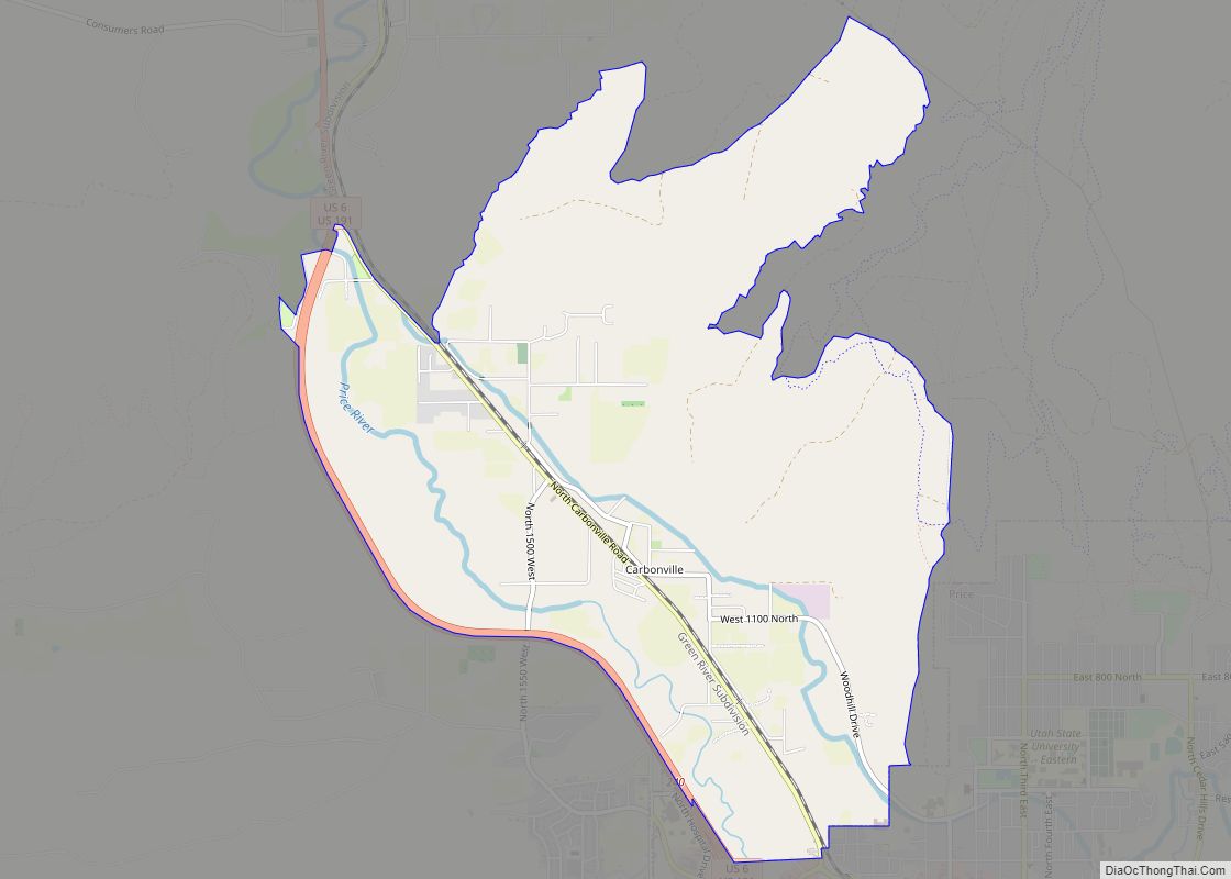
Carbonville is a census-designated place in Carbon County, Utah, United States. The population was 1,567 at the 2010 census.
| Name: | Carbonville CDP |
|---|---|
| LSAD Code: | 57 |
| LSAD Description: | CDP (suffix) |
| State: | Utah |
| County: | Carbon County |
| Elevation: | 5,670 ft (1,730 m) |
| Total Area: | 5.6 sq mi (14.4 km²) |
| Land Area: | 5.6 sq mi (14.4 km²) |
| Water Area: | 0.0 sq mi (0.0 km²) |
| Total Population: | 1,567 |
| Population Density: | 282/sq mi (108.8/km²) |
| ZIP code: | 84501 |
| Area code: | 435 |
| FIPS code: | 4910440 |
| GNISfeature ID: | 2584758 |
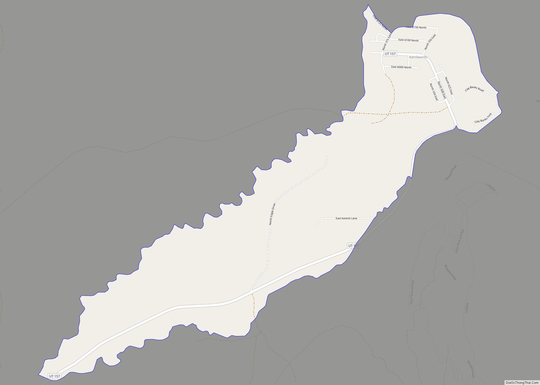
Online Interactive Map
Click on ![]() to view map in "full screen" mode.
to view map in "full screen" mode.
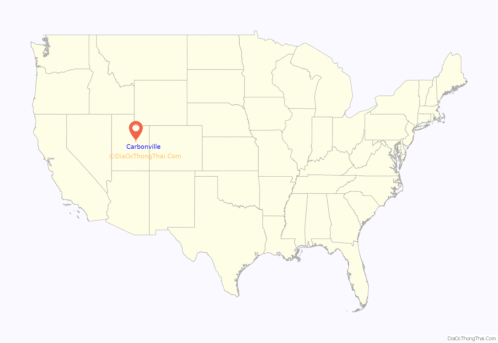
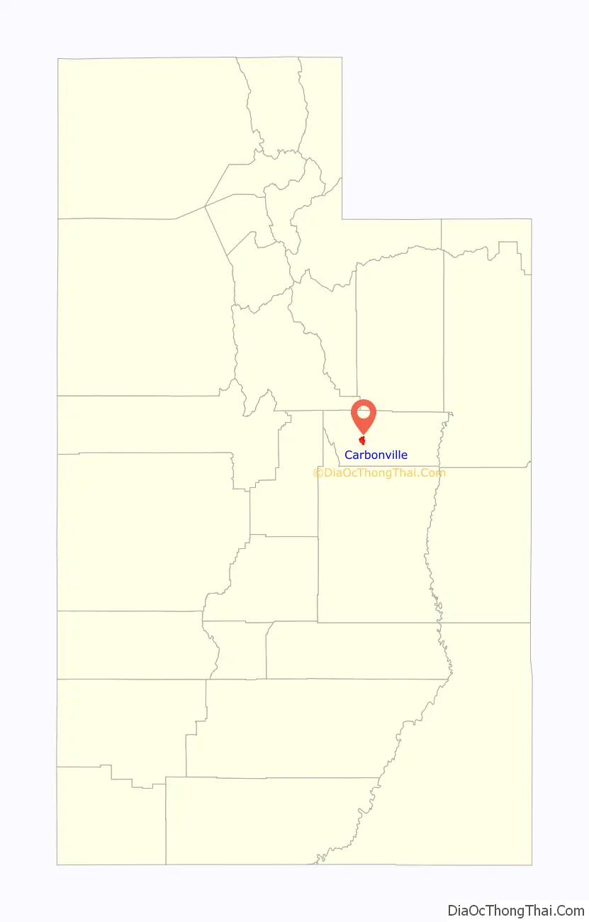
Carbonville location map. Where is Carbonville CDP?
History
Carbonville was one of the first settlement sites in what became Carbon County. Caleb Rhoades built a dugout here in 1877, before moving on to found Price in 1879. Later called “Rhoades Meadow”, the place had plenty of water, but of poor quality.
The village grew slowly, with most immigrants preferring the more developed areas of Price and Spring Glen. Carbonville did experience rapid growth in the industrial and housing boom years after World War II. The Church of Jesus Christ of Latter-day Saints organized the first ward here in the late 1940s, and a second one in the 1950s.
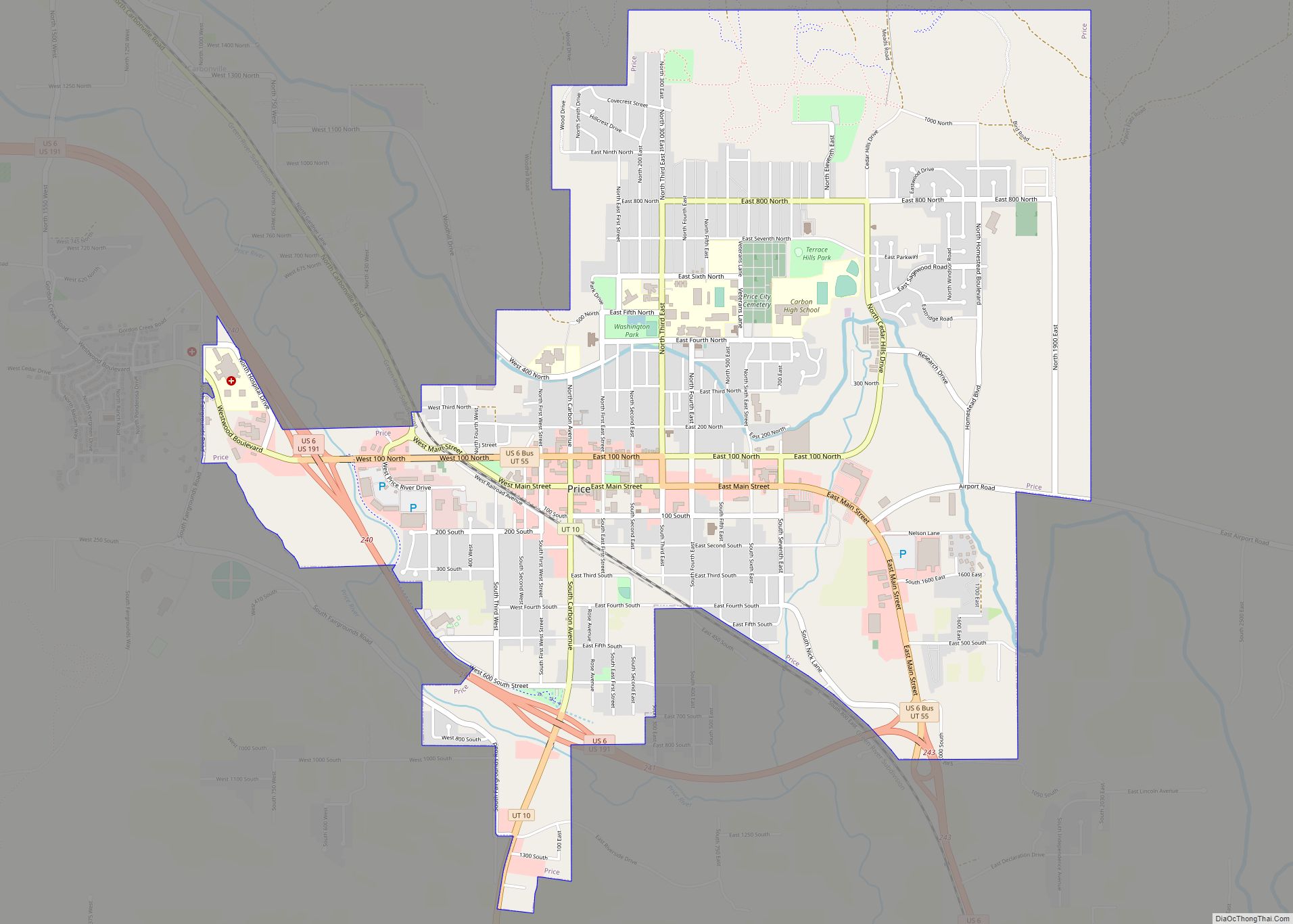
Carbonville Road Map
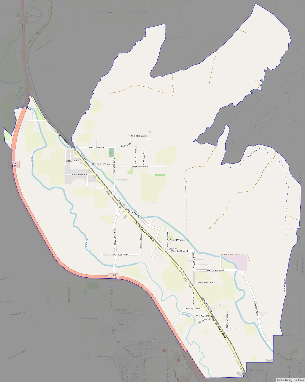
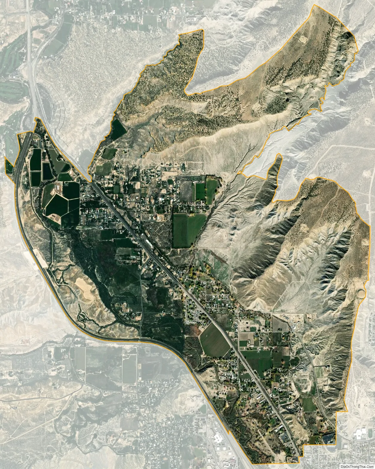
Carbonville city Satellite Map
Geography
Carbonville lies just northwest of Price, the county seat of Carbon County. The Price River and U.S. Route 6 run past on the west, and the historic community of Spring Glen is to the north.
See also
Map of Utah State and its subdivision: Map of other states:- Alabama
- Alaska
- Arizona
- Arkansas
- California
- Colorado
- Connecticut
- Delaware
- District of Columbia
- Florida
- Georgia
- Hawaii
- Idaho
- Illinois
- Indiana
- Iowa
- Kansas
- Kentucky
- Louisiana
- Maine
- Maryland
- Massachusetts
- Michigan
- Minnesota
- Mississippi
- Missouri
- Montana
- Nebraska
- Nevada
- New Hampshire
- New Jersey
- New Mexico
- New York
- North Carolina
- North Dakota
- Ohio
- Oklahoma
- Oregon
- Pennsylvania
- Rhode Island
- South Carolina
- South Dakota
- Tennessee
- Texas
- Utah
- Vermont
- Virginia
- Washington
- West Virginia
- Wisconsin
- Wyoming