Centerfield is a city in southwestern Sanpete County, Utah, United States. The population was 1,367 at the 2010 census. Although Centerfield was a town in 2000, it has since been classified as a fifth-class city by state law. The community was so named because of its location in the center of a wide valley.
| Name: | Centerfield town |
|---|---|
| LSAD Code: | 43 |
| LSAD Description: | town (suffix) |
| State: | Utah |
| County: | Sanpete County |
| Incorporated: | 1909 |
| Elevation: | 5,099 ft (1,554 m) |
| Total Area: | 1.91 sq mi (4.93 km²) |
| Land Area: | 1.91 sq mi (4.93 km²) |
| Water Area: | 0.00 sq mi (0.00 km²) |
| Total Population: | 1,367 |
| Population Density: | 784.78/sq mi (303.03/km²) |
| ZIP code: | 84622 |
| Area code: | 435 |
| FIPS code: | 4911870 |
| GNISfeature ID: | 1426506 |
| Website: | www.centerfieldcity.org |
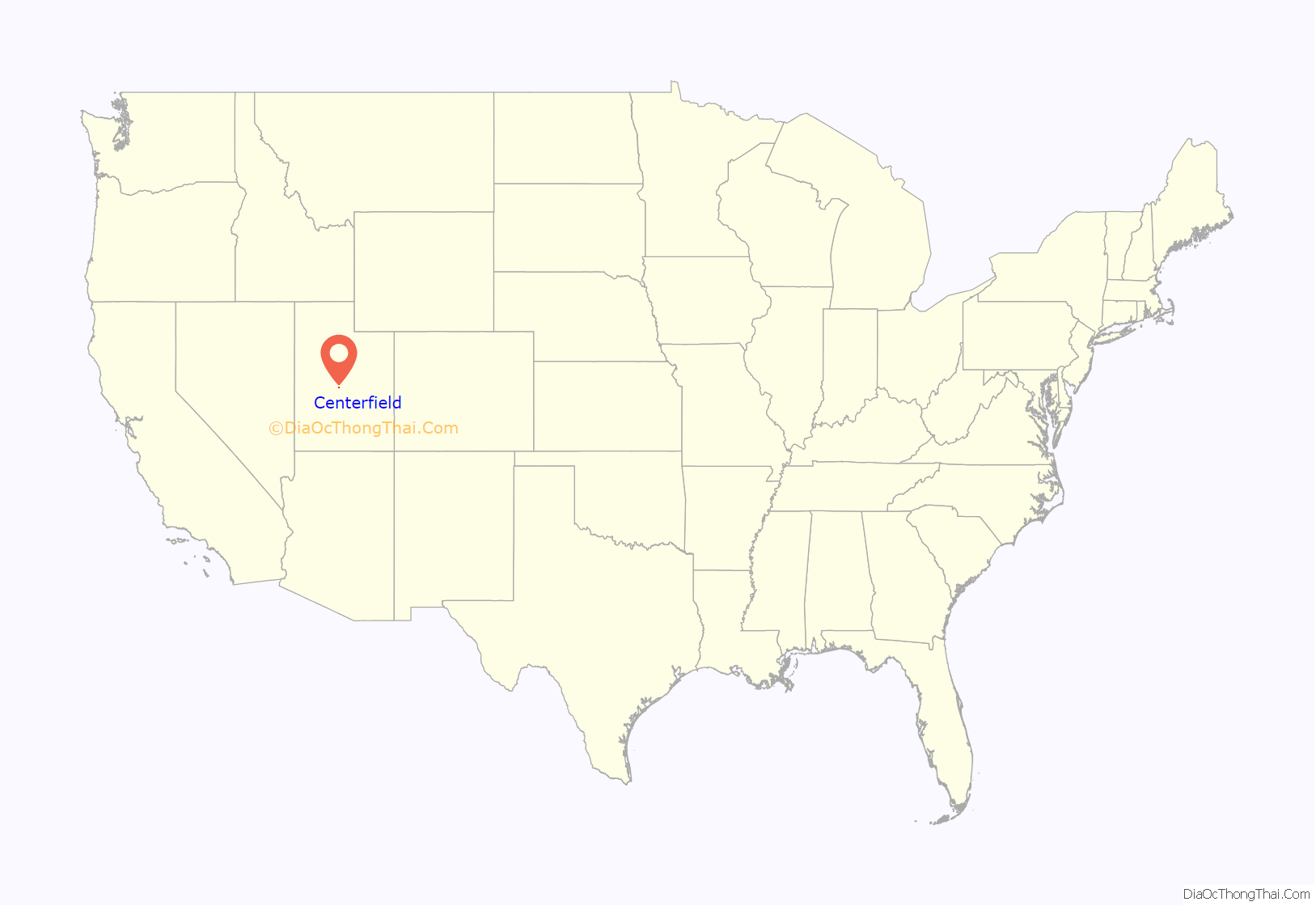
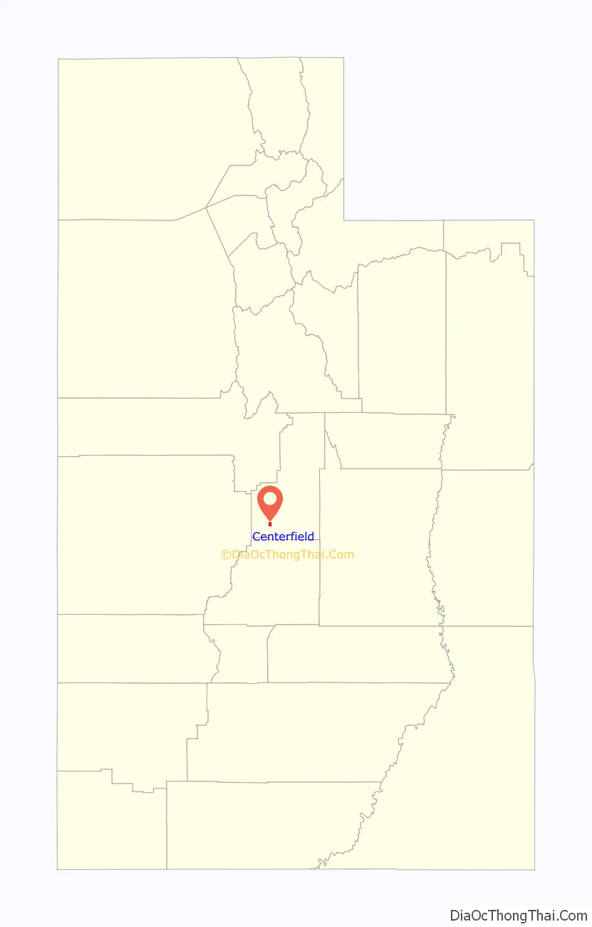
Online Interactive Map
Click on ![]() to view map in "full screen" mode.
to view map in "full screen" mode.
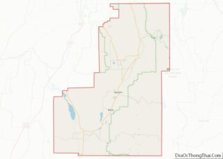
Centerfield location map. Where is Centerfield town?
History
Centerfield was first known as Skin Town. It seems that about 1880, a new method for tanning cowhides was discovered and implemented in New York. At the same time, Sanpete suffered a terrible winter with such deep snow that many cattle couldn’t find enough forage and died. In order to keep their operations from being a total loss, the ranchers skinned the cows, used the new tanning method on the hides, and hung them out on their fences to dry. The fact that all the fences were draped with cowhides led to the name “Skin Town”. It was also called South Gunnison or Twin Town. When the town was incorporated in 1907, the residents chose the more dignified name of Centerfield because of the community’s central location.
Centerfield is an 1860s offshoot of Gunnison that evolved two miles south on US 89. Gunnison Field or Gunnison South was a natural site for farmers who worked small “squatters rights” plots of about five acres with oxen and hand plows. After the Indian troubles subsided, log and adobe houses began to appear. A late 1876 petition to ‘build a school convenient to our location’ was an early sign of independence from the mother colony. In 1882 a log cabin was built to serve as a school, church, and social hall. The 1886-87 church was built of stone, and a front tower was added in 1897. Community spirit was strong by that time, and Canute Peterson chose a committee of four who named the place for its location in the fields between Gunnison and Axtell.
Gunnison Valley Sugar Company
The Gunnison Valley Sugar Company built a 500-ton factory in Centerfield, Utah, in 1918. The Centerfield factory equipment came from the Washington State Sugar Company plant in Waverly, Washington. The Waverly factory, which opened in December 1899, was considered unprofitable and inferior. The Utah Sugar management, including Cutler, advised Washington Sugar in 1901 for the 1902 season, but the factory closed in 1910. It was sold to Gunnison Sugar for $100,000, installed in Centerfield in 1917, and was ready for the 1918 campaign. U-I went on an aggressive anti-competitive campaign (including spreading rumors, leading to U-I’s investigation by the FTC) against Gunnison Valley Sugar Company. In 1920, the William Wrigley Jr. Company purchased the factory to supply their chewing gum production. U-I acquired the Centerfield factory and company in 1940. They closed the factory in 1956, re-opened it from 1958 to 1961, then sold it as scrap in April 1966.
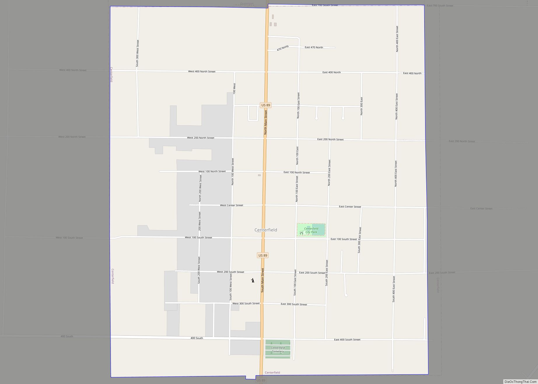
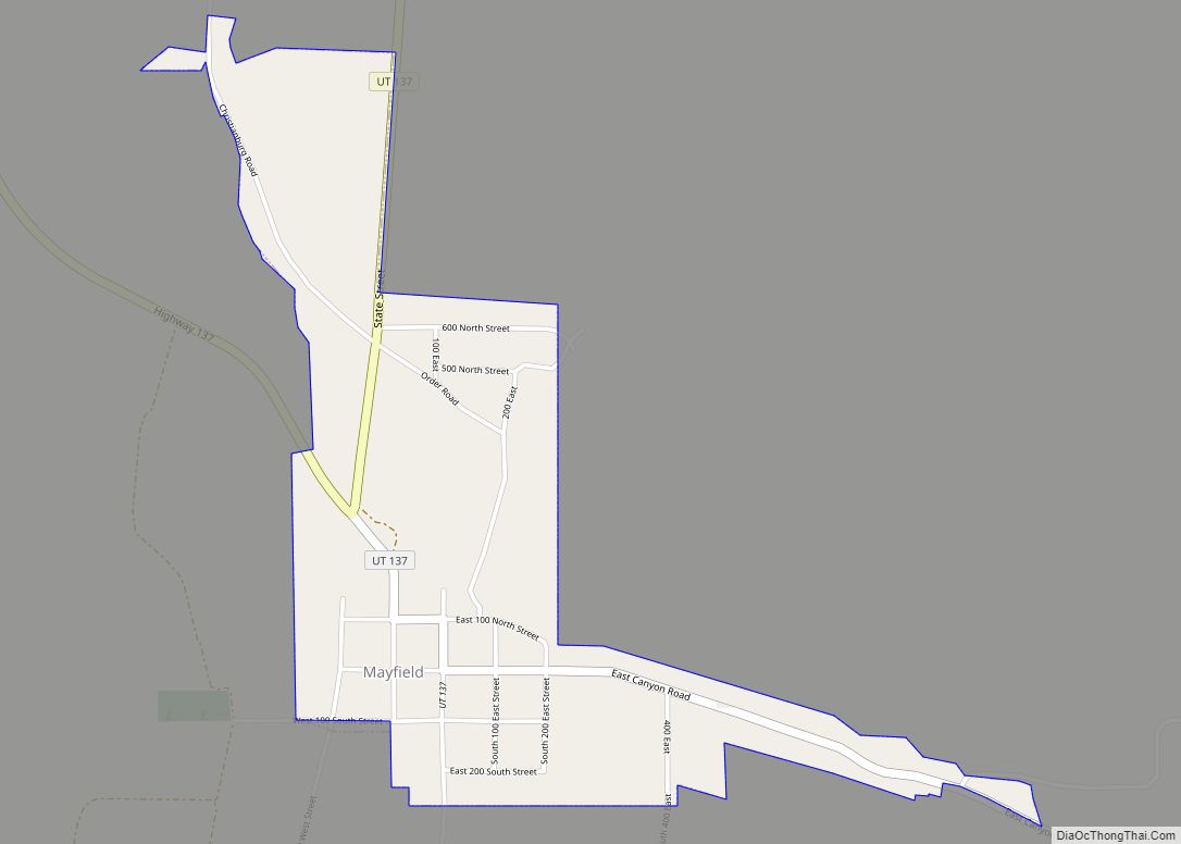
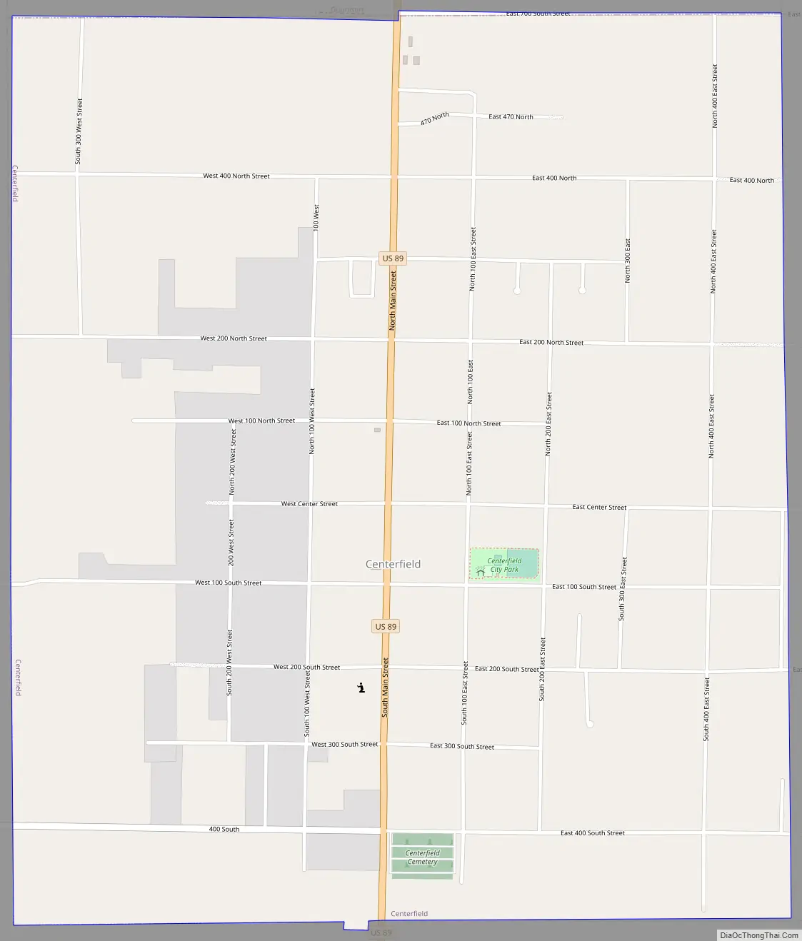
Centerfield Road Map
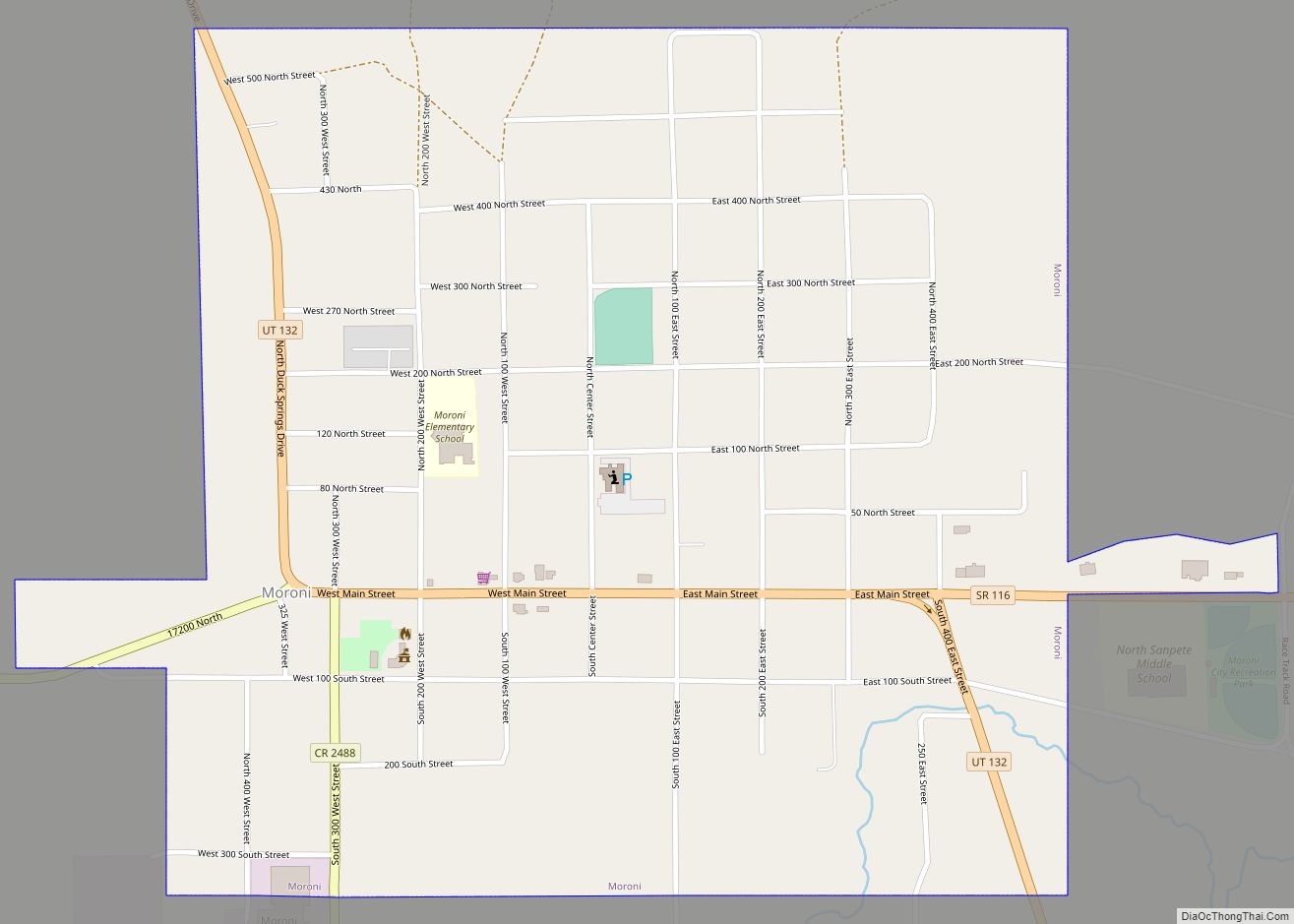
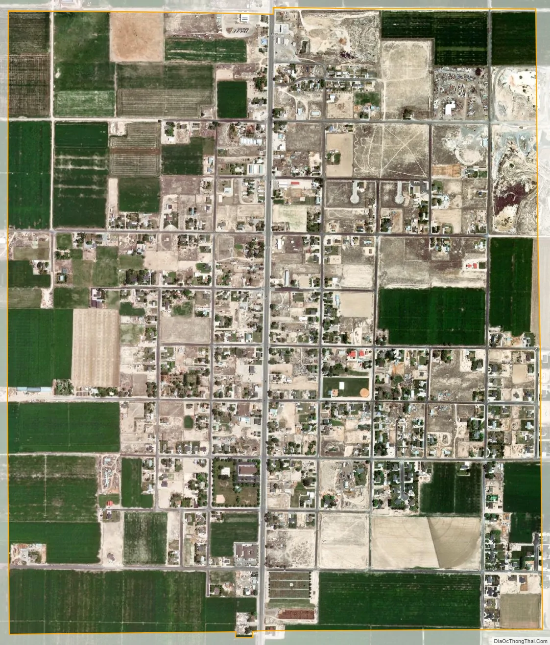
Centerfield city Satellite Map
Geography
According to the United States Census Bureau, the city has a total area of 1.8 square miles (4.7 km), all land.
Climate
According to the Köppen Climate Classification system, Centerfield has a semi-arid climate, abbreviated “BSk” on climate maps.
See also
Map of Utah State and its subdivision: Map of other states:- Alabama
- Alaska
- Arizona
- Arkansas
- California
- Colorado
- Connecticut
- Delaware
- District of Columbia
- Florida
- Georgia
- Hawaii
- Idaho
- Illinois
- Indiana
- Iowa
- Kansas
- Kentucky
- Louisiana
- Maine
- Maryland
- Massachusetts
- Michigan
- Minnesota
- Mississippi
- Missouri
- Montana
- Nebraska
- Nevada
- New Hampshire
- New Jersey
- New Mexico
- New York
- North Carolina
- North Dakota
- Ohio
- Oklahoma
- Oregon
- Pennsylvania
- Rhode Island
- South Carolina
- South Dakota
- Tennessee
- Texas
- Utah
- Vermont
- Virginia
- Washington
- West Virginia
- Wisconsin
- Wyoming