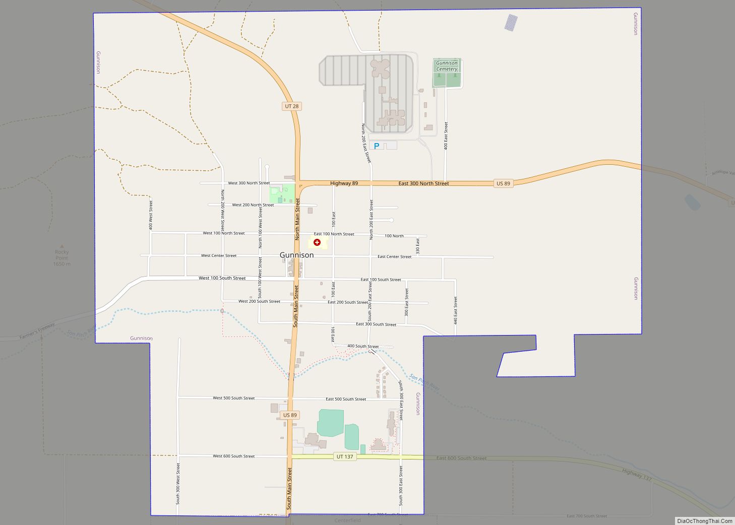
Gunnison is a city in the Sevier Valley in southwestern Sanpete County, Utah, United States. The population was 3,509 at the 2020 census. The city was named in honor of John W. Gunnison, a United States Army officer who surveyed for the transcontinental railroad in 1853.
| Name: | Gunnison city |
|---|---|
| LSAD Code: | 25 |
| LSAD Description: | city (suffix) |
| State: | Utah |
| County: | Sanpete County |
| Founded: | 1859 |
| Elevation: | 5,138 ft (1,566 m) |
| Total Area: | 4.79 sq mi (12.40 km²) |
| Land Area: | 4.79 sq mi (12.40 km²) |
| Water Area: | 0.00 sq mi (0.00 km²) |
| Total Population: | 3,509 |
| Population Density: | 732.57/sq mi (282.85/km²) |
| ZIP code: | 84634 |
| Area code: | 435 |
| FIPS code: | 4932660 |
| GNISfeature ID: | 1428432 |
Online Interactive Map
Click on ![]() to view map in "full screen" mode.
to view map in "full screen" mode.
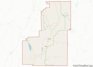
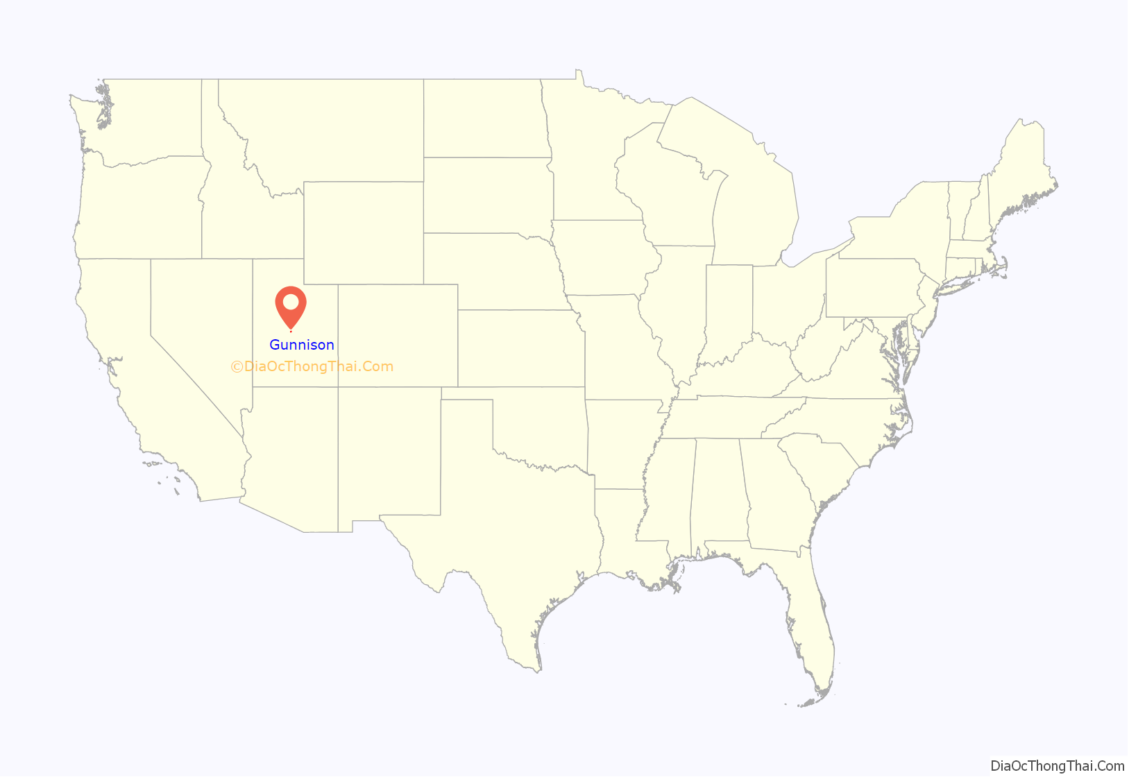
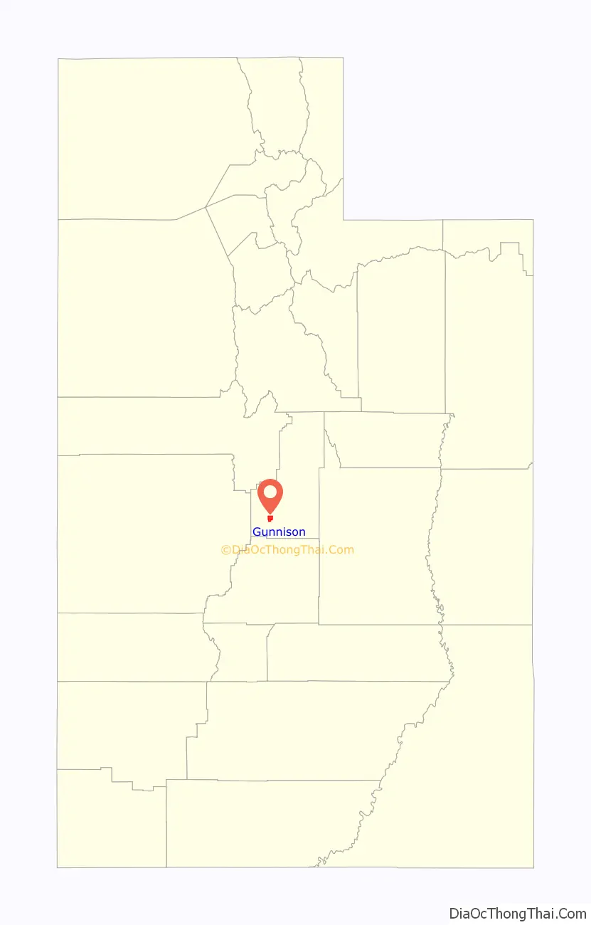
Gunnison location map. Where is Gunnison city?
History
2007 gas spill
In the summer of 2007, over 24,000 US gallons (91,000 L) of gasoline leaked from a storage tank beneath the Top Stop gas station, located on the corner of South Main and East Center and owned by Wind River Petroleum. The gasoline leaked throughout the soil beneath South Main Street and eventually throughout the southwest side of town, contaminating businesses and homes. On August 10, 2007, local and state officials ordered the temporary evacuation of an entire Main Street block, heavily populated with businesses, because of the fumes from the gasoline leak. In the weeks following, Wasatch Environmental installed underground soil-ventilation systems. Several businesses, including the Top Stop, permanently closed, and some homes were evacuated. Gunnison City, along with several businesses and residents, filed suit against Wind River Petroleum over the handling of the gas leak. As of 2010, approximately $3 million ($1 million from a state cleanup fund, $2 million from Wind River Petroleum) had been spent on the cleanup, which is expected to last a decade. Gunnison City recently completed a Main Street rehabilitation project valued at over $1 million.
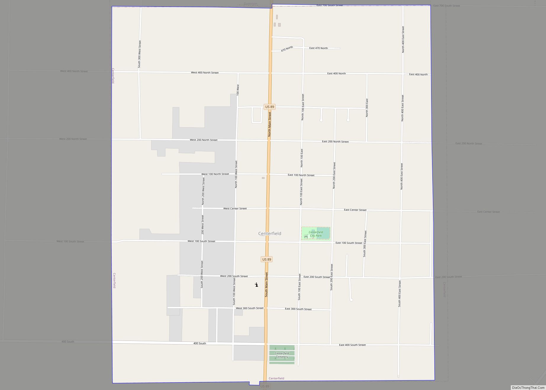
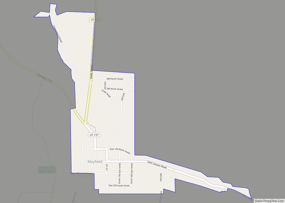
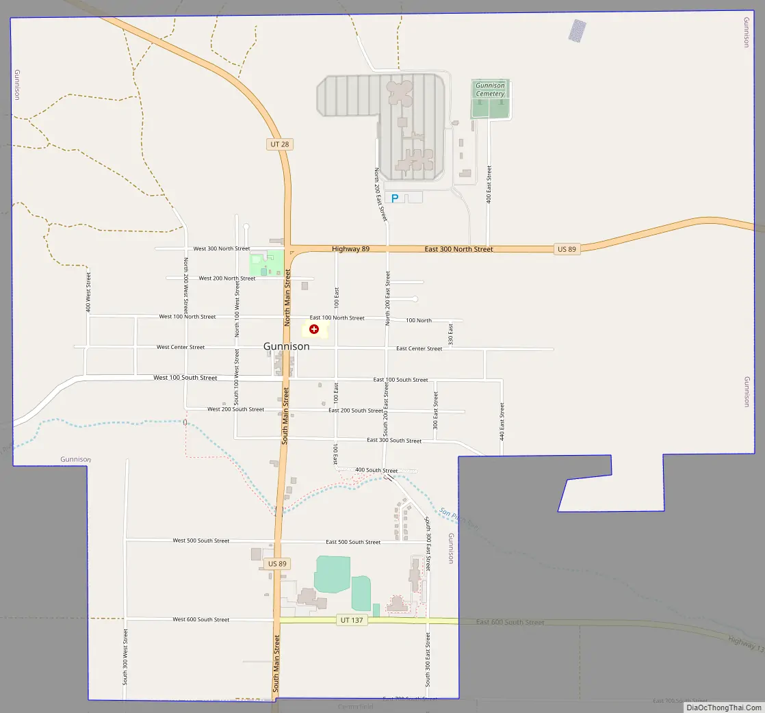
Gunnison Road Map
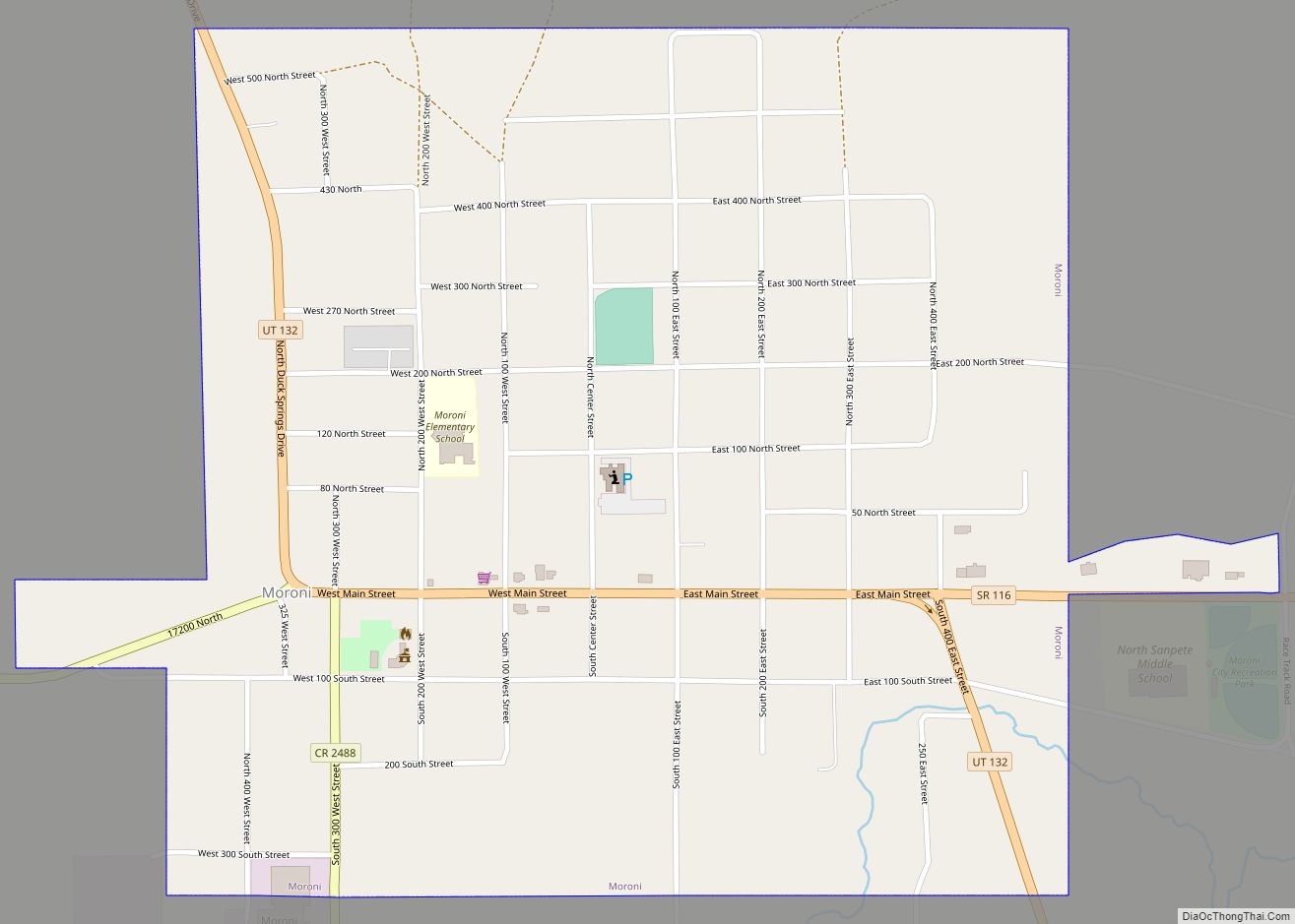
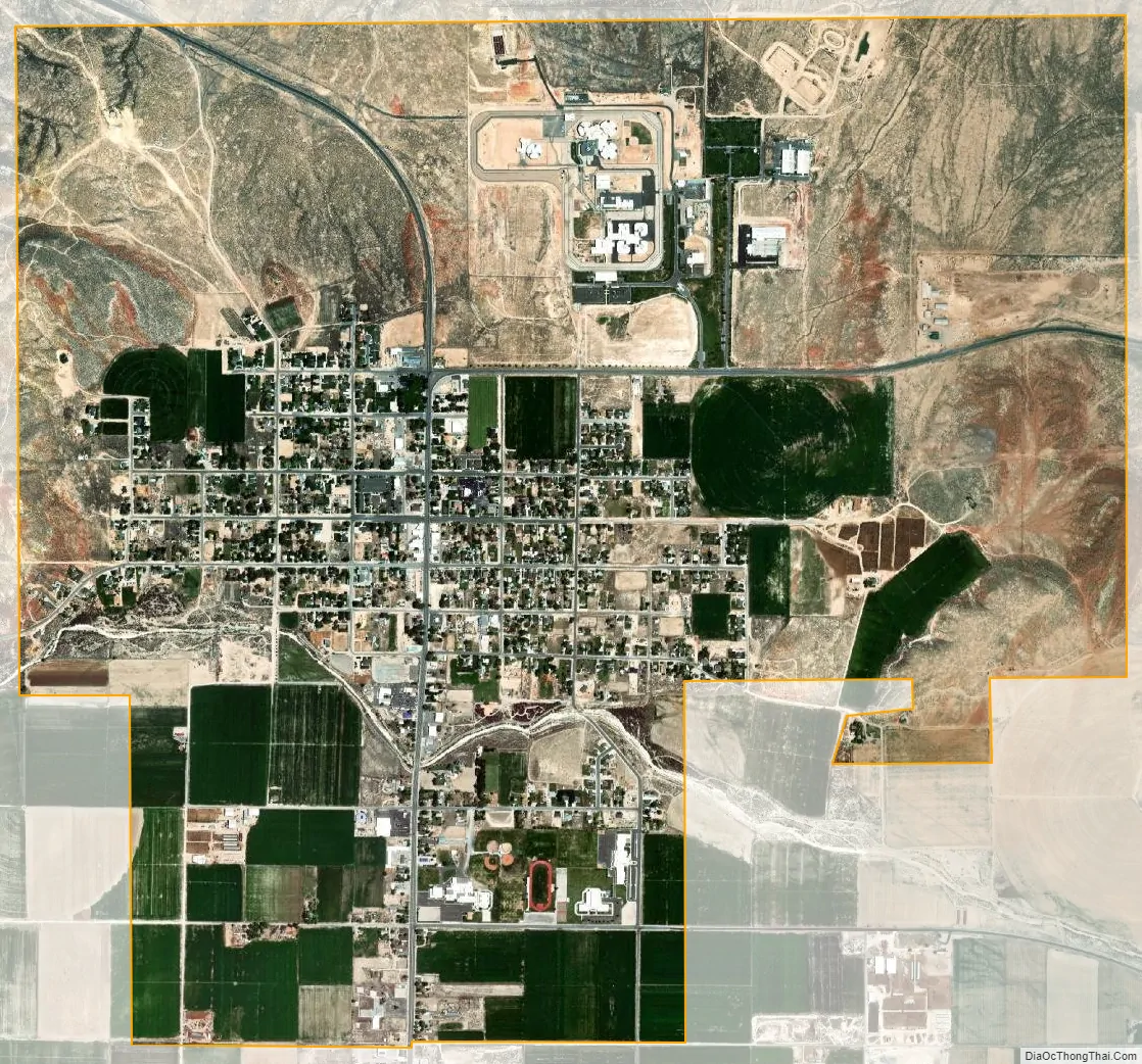
Gunnison city Satellite Map
Geography
According to the United States Census Bureau, the city has a total area of 5.3 square miles (14 km), all land.
See also
Map of Utah State and its subdivision: Map of other states:- Alabama
- Alaska
- Arizona
- Arkansas
- California
- Colorado
- Connecticut
- Delaware
- District of Columbia
- Florida
- Georgia
- Hawaii
- Idaho
- Illinois
- Indiana
- Iowa
- Kansas
- Kentucky
- Louisiana
- Maine
- Maryland
- Massachusetts
- Michigan
- Minnesota
- Mississippi
- Missouri
- Montana
- Nebraska
- Nevada
- New Hampshire
- New Jersey
- New Mexico
- New York
- North Carolina
- North Dakota
- Ohio
- Oklahoma
- Oregon
- Pennsylvania
- Rhode Island
- South Carolina
- South Dakota
- Tennessee
- Texas
- Utah
- Vermont
- Virginia
- Washington
- West Virginia
- Wisconsin
- Wyoming