Central Valley is a town in Sevier County, Utah, United States. The population was 528 at the 2010 census. Known for years simply as Central, the town was named Central Valley at its incorporation in 2005.
| Name: | Central Valley town |
|---|---|
| LSAD Code: | 43 |
| LSAD Description: | town (suffix) |
| State: | Utah |
| County: | Sevier County |
| Incorporated: | January 28, 2005 |
| Elevation: | 5,308 ft (1,618 m) |
| Total Area: | 2.11 sq mi (5.46 km²) |
| Land Area: | 2.11 sq mi (5.46 km²) |
| Water Area: | 0.00 sq mi (0.00 km²) |
| Total Population: | 528 |
| Population Density: | 270.53/sq mi (104.43/km²) |
| ZIP code: | 84754 |
| Area code: | 435 |
| FIPS code: | 4912260 |
| GNISfeature ID: | 2413189 |
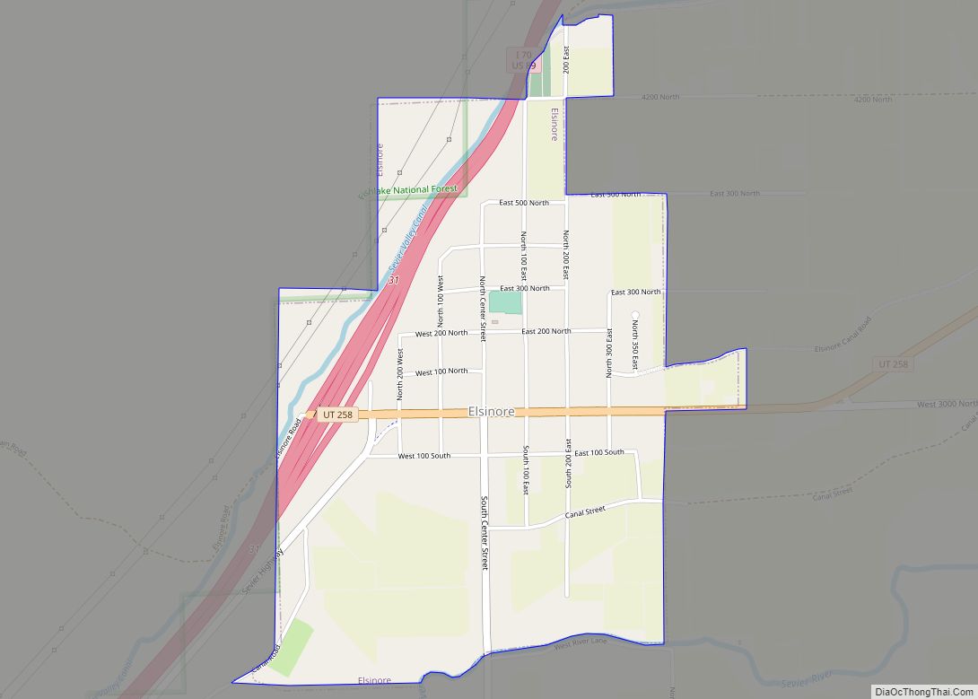
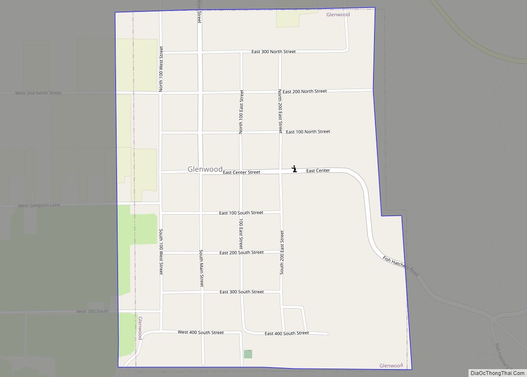
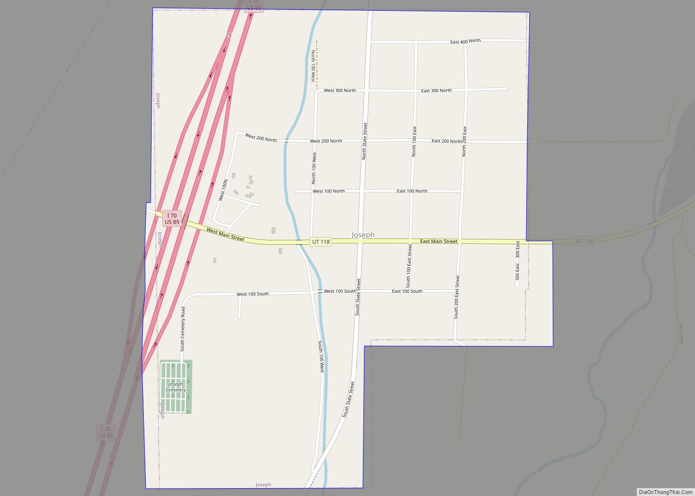
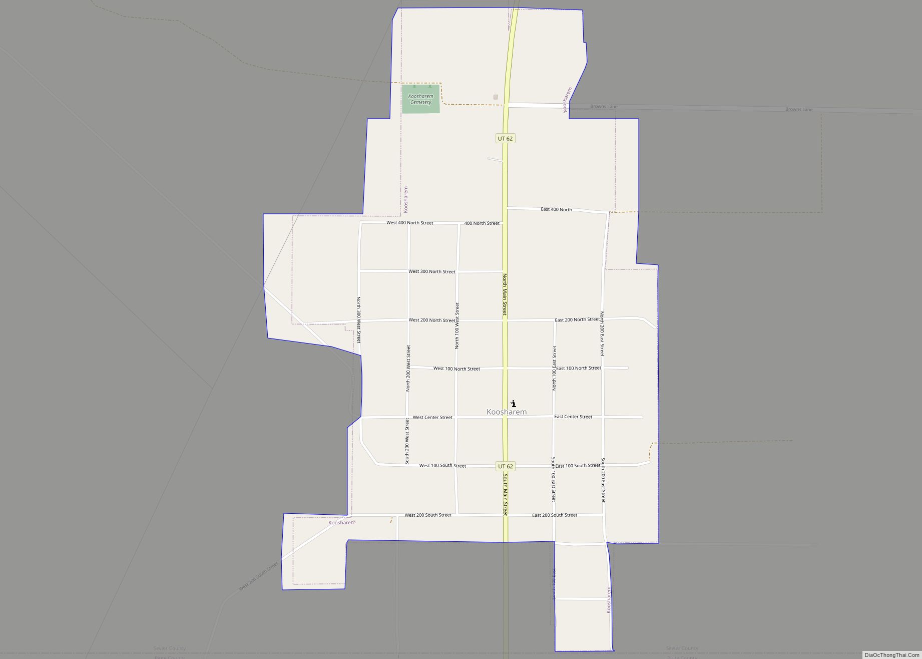
Online Interactive Map
Click on ![]() to view map in "full screen" mode.
to view map in "full screen" mode.
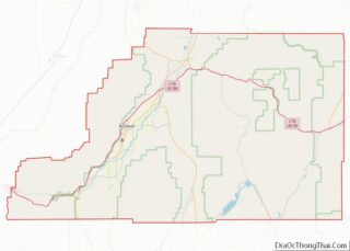
Central Valley location map. Where is Central Valley town?
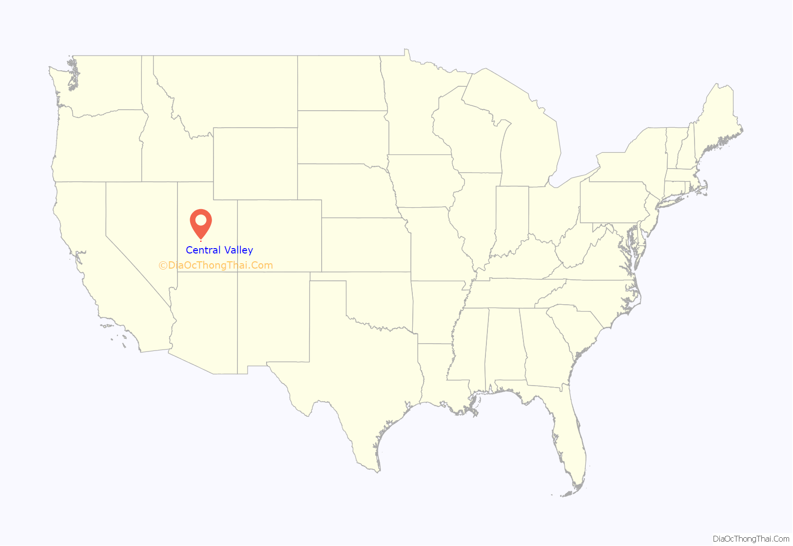
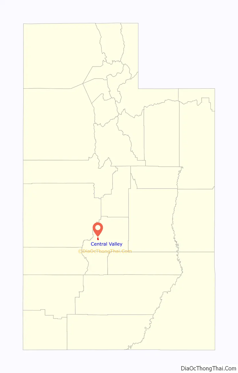
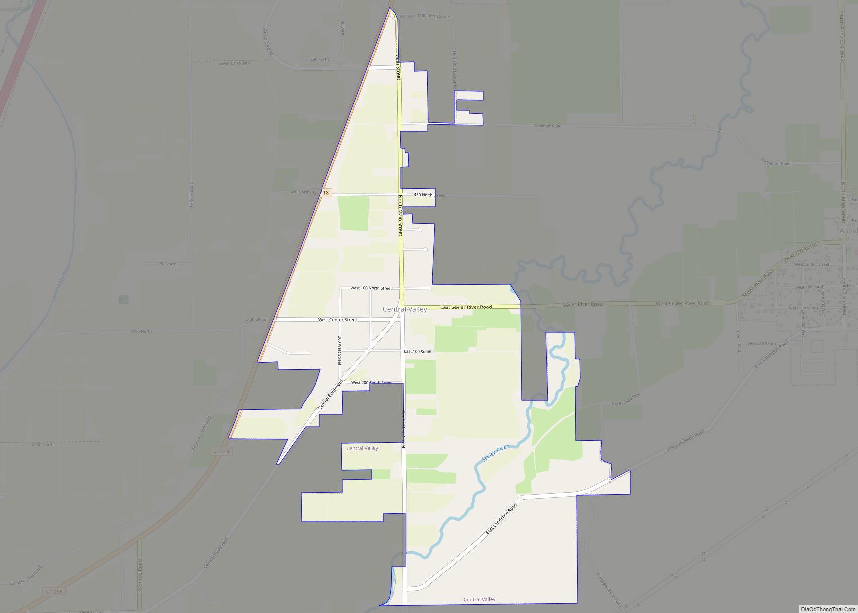
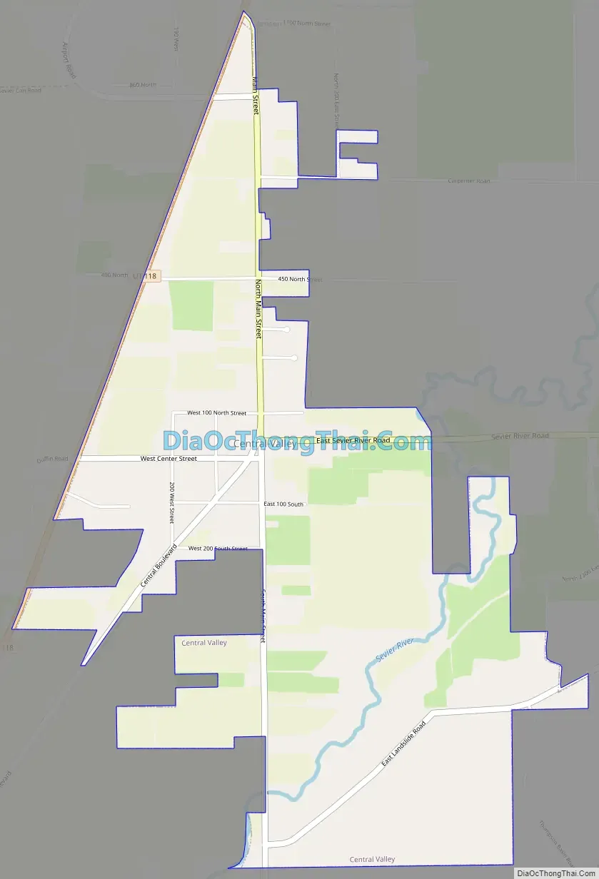
Central Valley Road Map
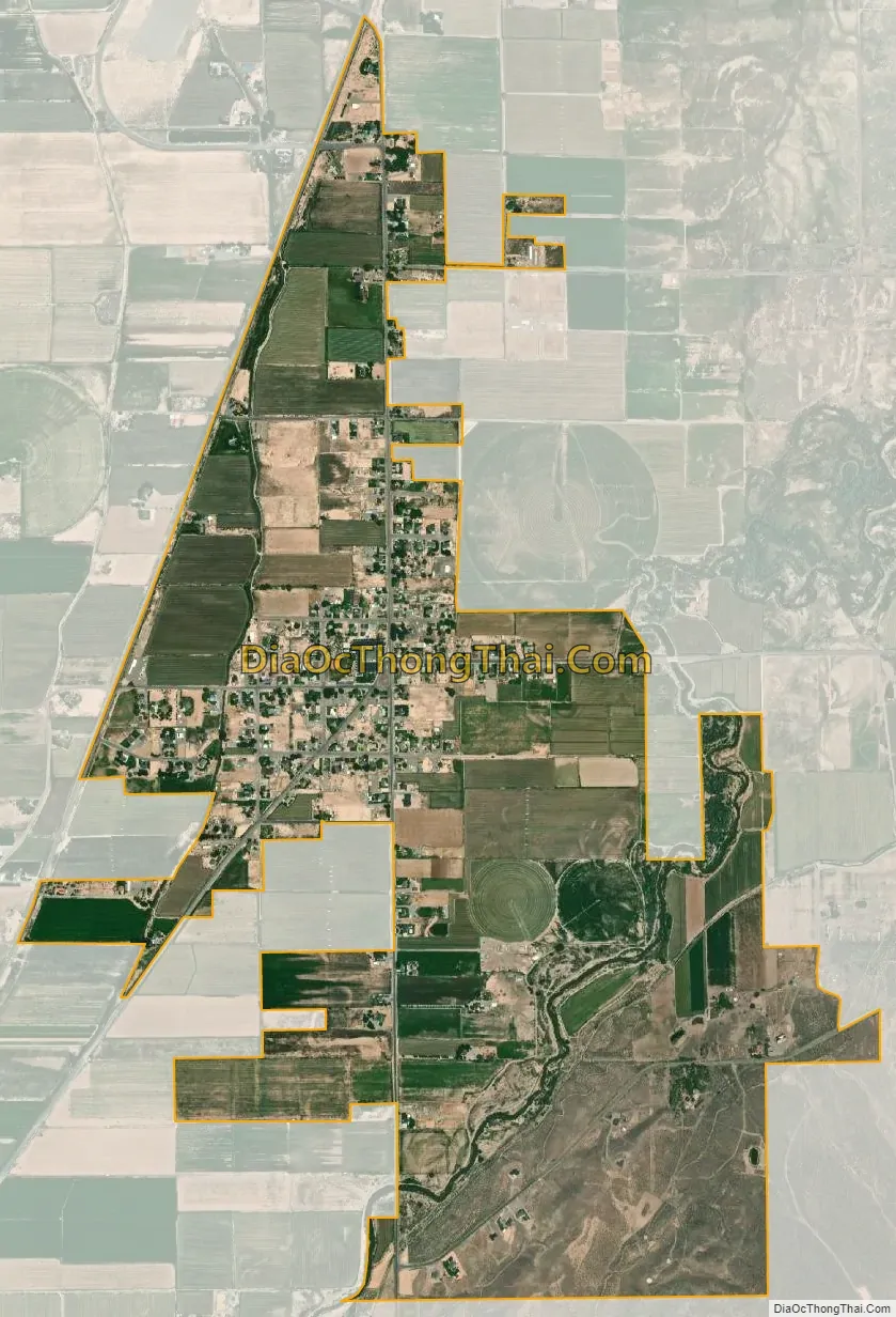
Central Valley city Satellite Map
See also
Map of Utah State and its subdivision: Map of other states:- Alabama
- Alaska
- Arizona
- Arkansas
- California
- Colorado
- Connecticut
- Delaware
- District of Columbia
- Florida
- Georgia
- Hawaii
- Idaho
- Illinois
- Indiana
- Iowa
- Kansas
- Kentucky
- Louisiana
- Maine
- Maryland
- Massachusetts
- Michigan
- Minnesota
- Mississippi
- Missouri
- Montana
- Nebraska
- Nevada
- New Hampshire
- New Jersey
- New Mexico
- New York
- North Carolina
- North Dakota
- Ohio
- Oklahoma
- Oregon
- Pennsylvania
- Rhode Island
- South Carolina
- South Dakota
- Tennessee
- Texas
- Utah
- Vermont
- Virginia
- Washington
- West Virginia
- Wisconsin
- Wyoming