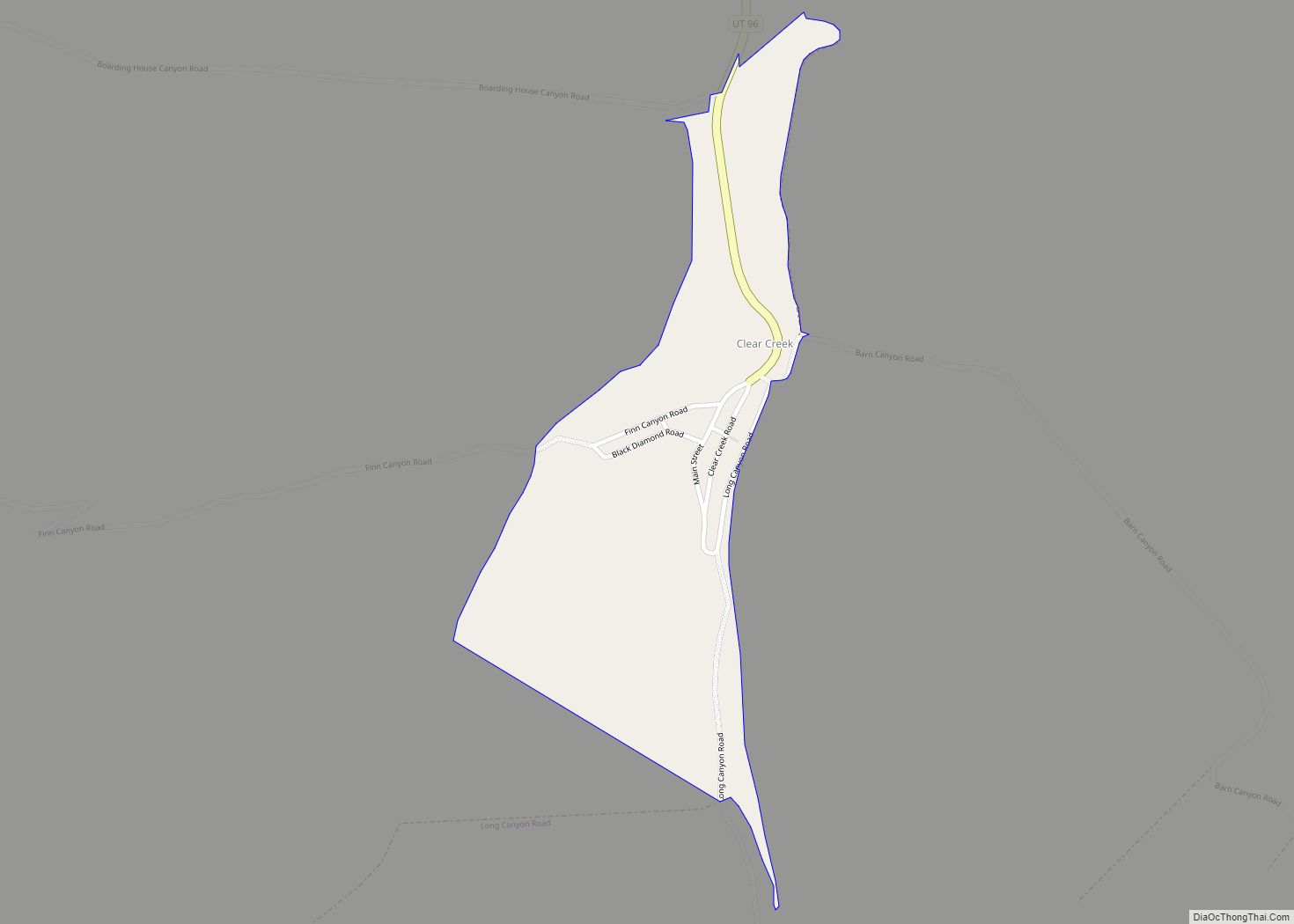
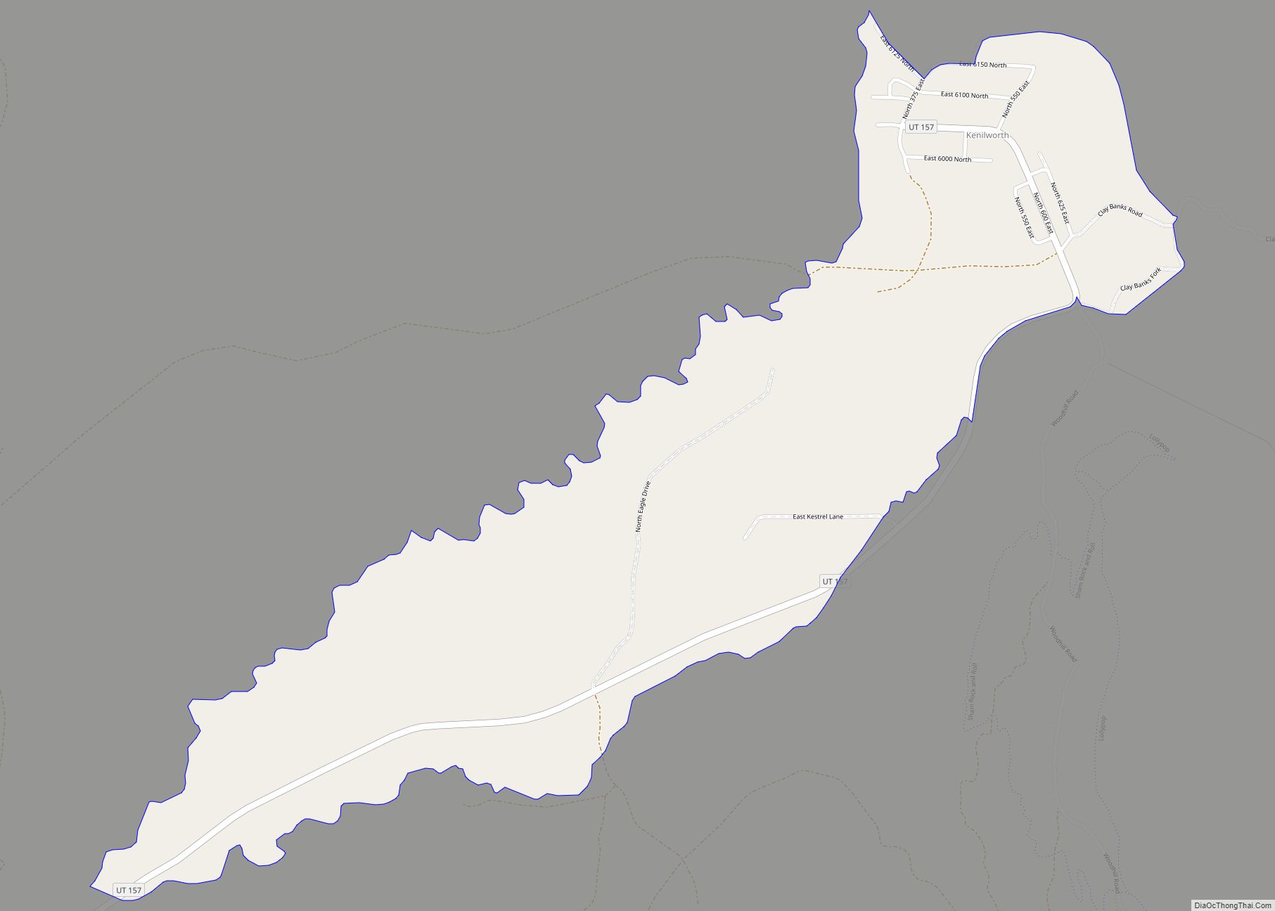
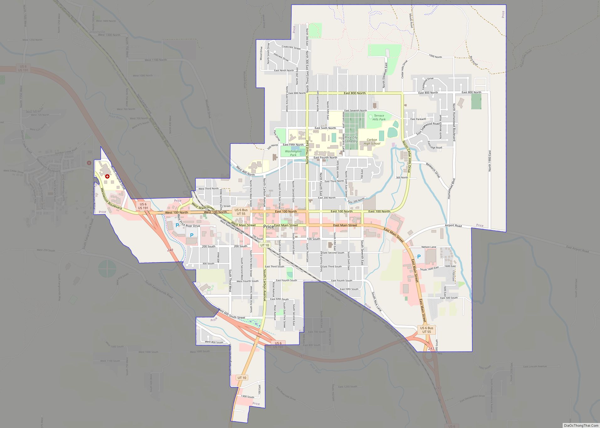
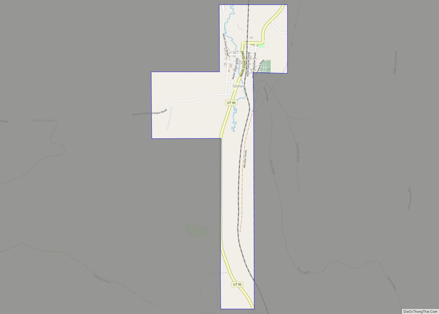
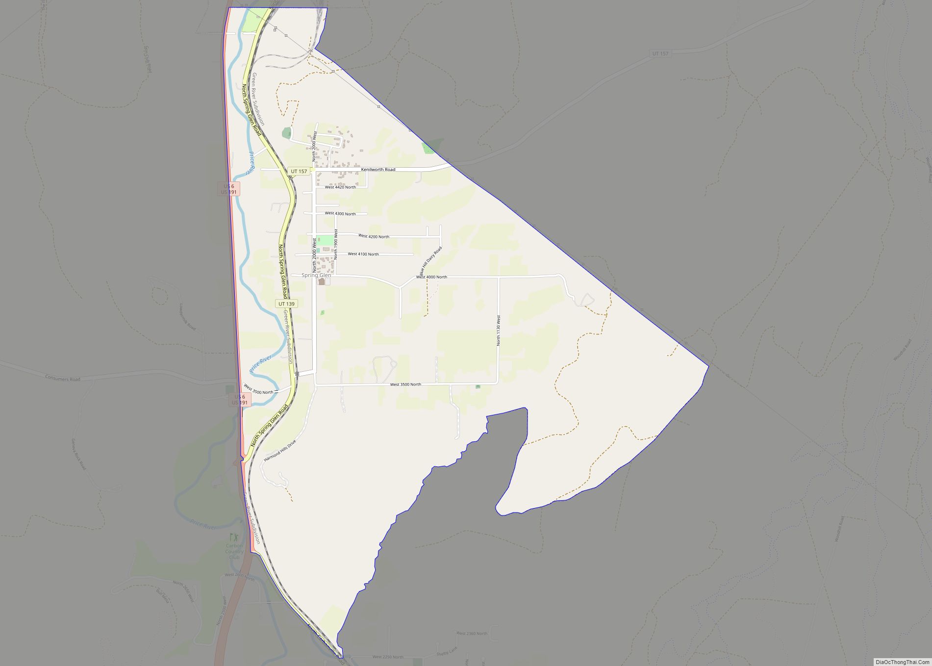
Clear Creek is a census-designated place on the western edge of Carbon County, Utah, United States. It is located at the south end of State Route 96 and the Pleasant Valley Branch of the Union Pacific Railroad (previously the Denver and Rio Grande Western Railroad).
| Name: | Clear Creek CDP |
|---|---|
| LSAD Code: | 57 |
| LSAD Description: | CDP (suffix) |
| State: | Utah |
| County: | Carbon County |
| Founded: | 1870s |
| Elevation: | 8,743 ft (2,665 m) |
| Total Area: | 0.20 sq mi (0.53 km²) |
| Land Area: | 0.20 sq mi (0.53 km²) |
| Water Area: | 0.0 sq mi (0.0 km²) |
| Total Population: | 12 |
| FIPS code: | 4913740 |
| GNISfeature ID: | 2584759 |
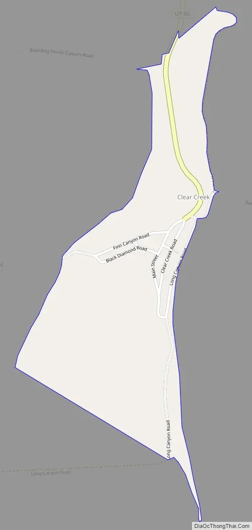
Online Interactive Map
Click on ![]() to view map in "full screen" mode.
to view map in "full screen" mode.
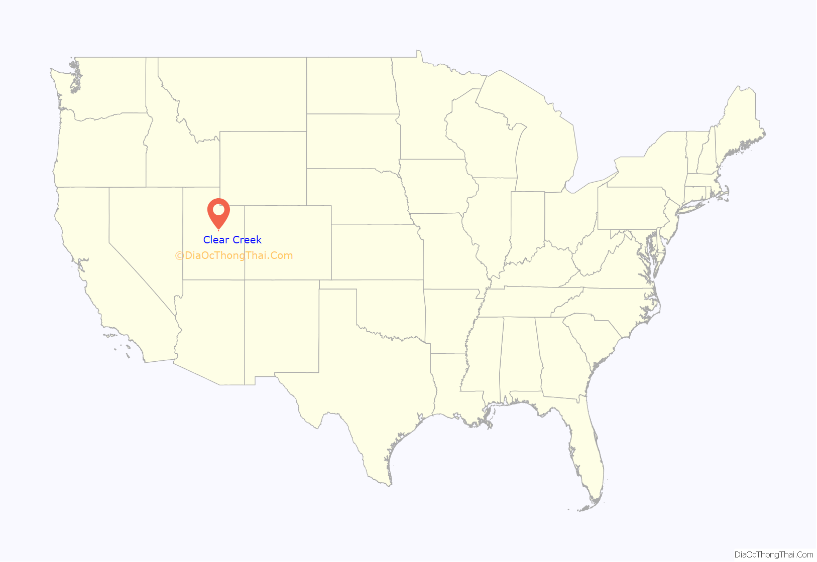
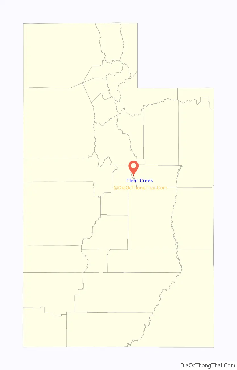
Clear Creek location map. Where is Clear Creek CDP?
History
Clear Creek was founded in the 1870s as a logging camp that supplied lumber to the nearby mining town of Winter Quarters. About twenty years after Clear Creek was founded, coal was discovered beneath the town and a mine was developed. In 1898, the Denver and Rio Grande Western Railroad built a spur line from Scofield to the mine at Clear Creek. Two years later, the Utah Fuel Company built 25 homes, a hotel, a store, a hospital, a schoolhouse, a workshop, and a water plant in the town. From 1910 to 1920, 2,000 tons of coal was being mined per day, and Clear Creek had about 600 residents. In 1930, the need for coal began to decrease, and by 1955, the mine had cut production and the town’s population had decreased to 150. According to the 2010 Census, there were four people residing in town.
The town is currently used as a recreation and camp area for various schools and programs, with cabins, a restroom and shower area, and a recreation and eating area.
Climate
Clear Creek has a warm-summer humid continental climate (Köppen Dfb), bordering on subarctic (Dfc). Summertime is generally mild to warm, with nights dropping into the 30s and 40s (°F), and wintertime is cold and snowy, with a yearly average of 237 inches (603 cm) of snow accumulation. Wintry days may be observed as late as June or as early as September due to the Town’s location in the Wasatch Mountain Range.
Clear Creek Road Map
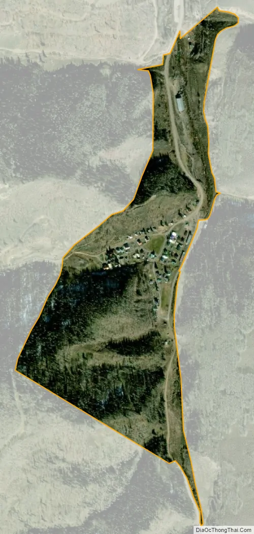
Clear Creek city Satellite Map
See also
Map of Utah State and its subdivision: Map of other states:- Alabama
- Alaska
- Arizona
- Arkansas
- California
- Colorado
- Connecticut
- Delaware
- District of Columbia
- Florida
- Georgia
- Hawaii
- Idaho
- Illinois
- Indiana
- Iowa
- Kansas
- Kentucky
- Louisiana
- Maine
- Maryland
- Massachusetts
- Michigan
- Minnesota
- Mississippi
- Missouri
- Montana
- Nebraska
- Nevada
- New Hampshire
- New Jersey
- New Mexico
- New York
- North Carolina
- North Dakota
- Ohio
- Oklahoma
- Oregon
- Pennsylvania
- Rhode Island
- South Carolina
- South Dakota
- Tennessee
- Texas
- Utah
- Vermont
- Virginia
- Washington
- West Virginia
- Wisconsin
- Wyoming